Bushrod Park Sports Courts
- Primary distance
- 1.1 mi · 1.8 km
- Elevation gain
- 49 ft · 15 m
- Est. moving time
- 25 min
- Best season
- Apr–Nov (Year-round mild)
- Dogs
- Allowed on leash
The spot
Historic North Oakland sports complex equipped with outdoor basketball courts, tennis courts, and baseball diamonds.
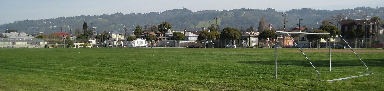
Sun & golden hour today
Share your visit
Been here? Post it with a card that shows where it is and what it takes to get there.
- 1
- 2
Paste the caption
Bushrod Park Sports Courts · Bushrod Park, California
1.1 mi · 49 ft climb
Where it is & how to get there: hikespot.com/spots/bushrod-park-sports-courts
#bushrodparksportscourts #bushrodpark #california #skatepark #hikespot
- 3
Add the location tag Bushrod Park Sports Courts so people can find it
Leading a Meetup or group hike here?
Copy a ready-to-post Meetup.com event briefing with exact trailhead pin links, distance, elevation gain, dog policy, and live route map.
What you can do here & routes
Sports courts
Multisport municipal athletic complex.
Basis: city_of_oakland
Connected trails & routes (1)
- easy
Outdoor Play
Bushrod Park Sports Courts Facility Loop
- Distance
- 1.1 mi
- Elevation gain
- 49 ft
- Est. moving
- 25 min
- Surface
- natural trail
- Trailhead / Start
- Bushrod Park Sports Courts Trailhead
Route source: OpenStreetMap / Public Park Trail Guide · ODbL-1.0 · Source record
Practical details & access
Sourced from OpenStreetMap and public land-manager records. Unverified fields are marked honestly rather than guessed.
- Park / Land manager
- Bushrod Park
- Typical time & effort
- 1–3 hours · easy effort
- Parking & entrances
- Street parking along Shattuck Ave and 59th St
- Fees & permits
- Free public access
- Dogs policy
- Allowed on leash
- Facilities & amenities
- Restrooms: Available · Water: Available · Lighting: Lit for evening use · 4 outdoor courts
- Coordinates
- 37.8461° N, 122.2647° W
Recommended gear & preparation
- Basketball
- Tennis racket
Location & access map
Drag to pan. Double-click, pinch or scroll to zoom. Keyboard: arrow keys and +/−. Cards below remain available.
Loading map… Browse the spot cards below at any time.
Geography source: OpenStreetMap (osm:node/9100000033) · ODbL-1.0 / CC. Coordinates mark the mapped feature; always follow signed public entrances and trailheads.
Right now
Checking official sources…
Official readings, shown with their own timestamps. Conditions in the mountains change faster than any feed — treat these as a briefing, not a guarantee.
Safety & access notice
Absence of an alert is not a guarantee that a place is open or safe. Always verify seasonal road closures, fire restrictions, surf/water hazards and local rules before heading out.
Continue the outing
Nearby outdoor places & things to do
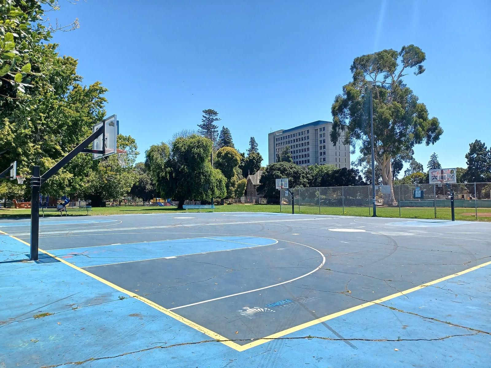 Outdoor courts1.5 mi away
Mosswood Park · San Francisco Bay Area
Mosswood Park Basketball Courts
Legendary historic Oakland streetball court where NBA icons including Bill Russell, Jason Kidd, and Damian Lillard honed their crafts.
Outdoor Play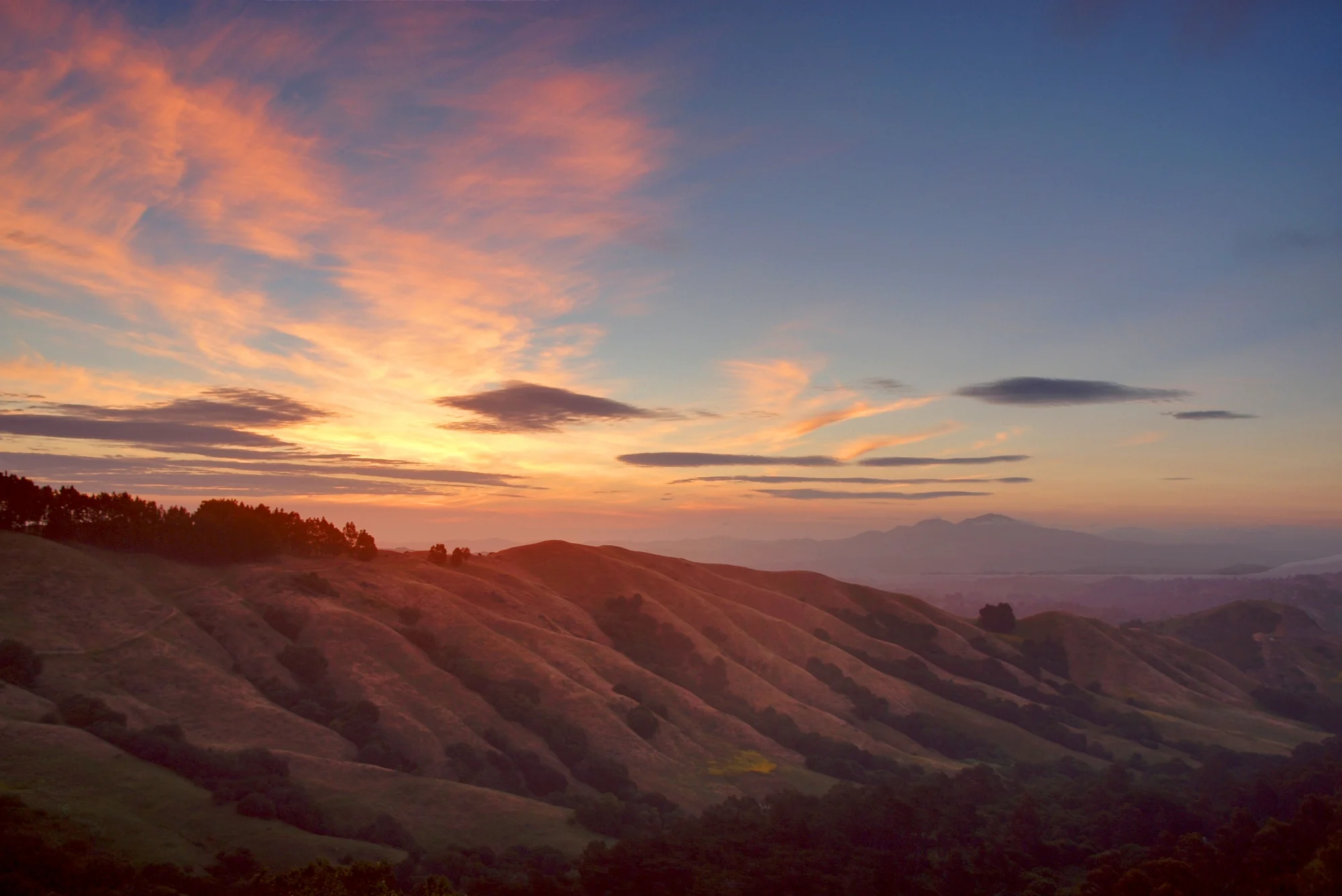 Peak3.0 mi away
East Bay Hills
Grizzly Peak
Verified California peak at 1,742 ft in East Bay Hills. Linked to ADT - California - T - Seg 8.
Walk & HikeViews & Nature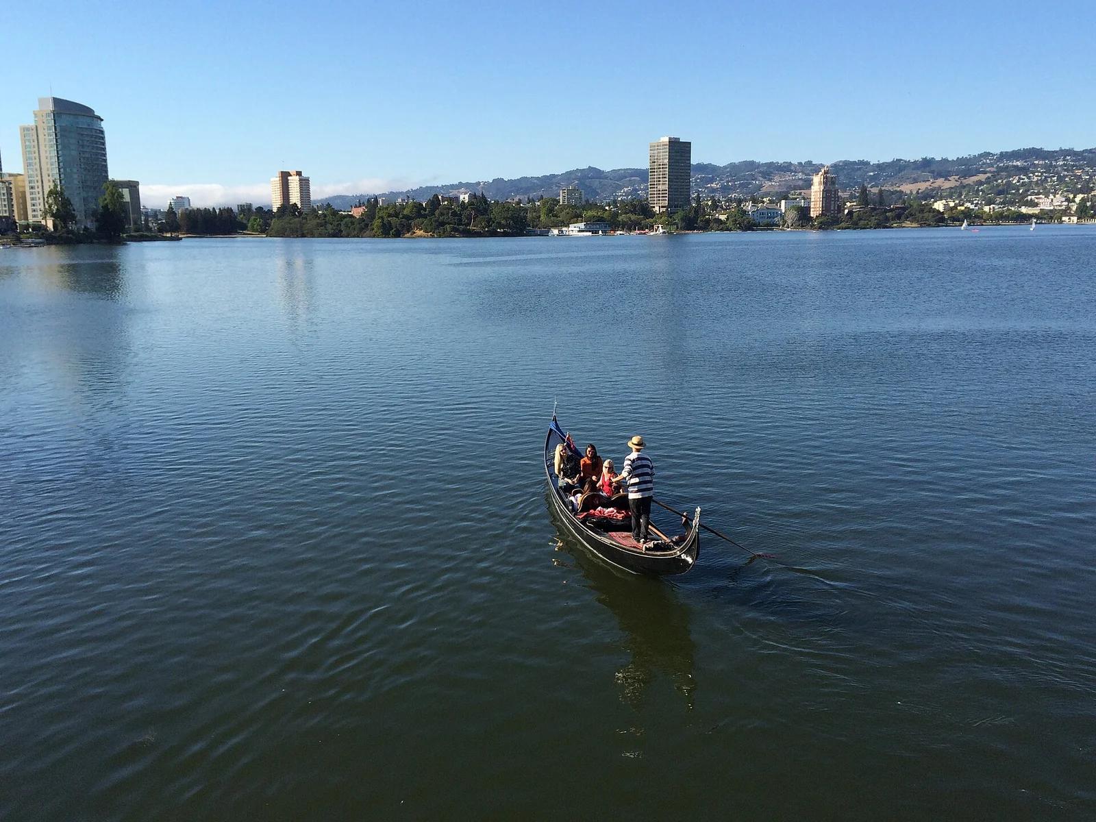 Lake3.1 mi away
Lake Merritt Park · San Francisco Bay Area
Lake Merritt Boating
The nation's oldest designated wildlife refuge (1870), located in downtown Oakland with rowboats, pedal boats, gondolas, and sailing instruction.
Paddle, Swim & FishWalk & HikeCamp & Picnic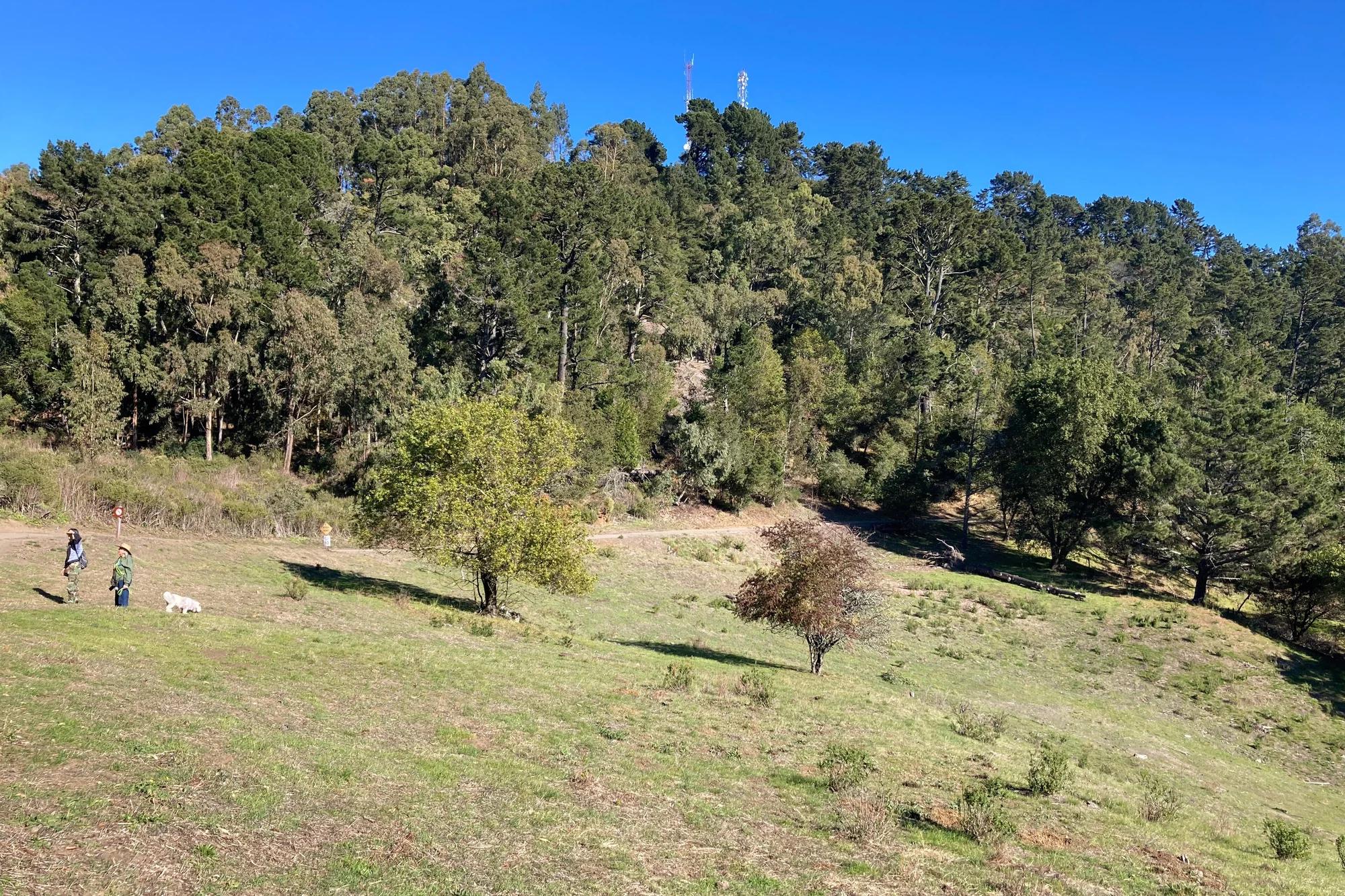 Peak3.9 mi away
East Bay Hills
Round Top
Verified California peak at 1,742 ft in East Bay Hills. Linked to East Bay Skyline National Recreation Trail.
Walk & HikeViews & Nature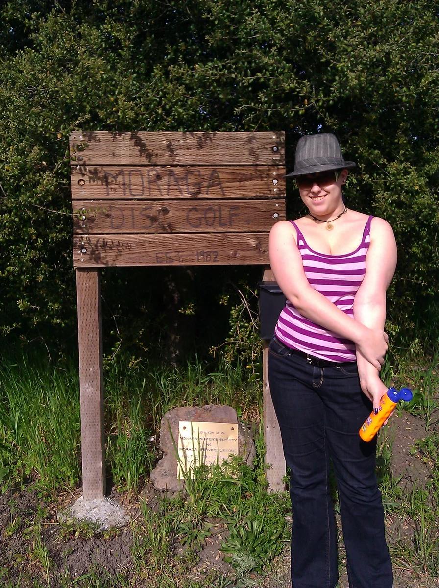 Disc golf course7.3 mi away
Moraga Commons Park · San Francisco Bay Area
Moraga Commons Disc Golf Course
Scenic rolling East Bay hills course with challenging elevation changes, heritage eucalyptus, and oak-lined grassy fairways.
Outdoor Play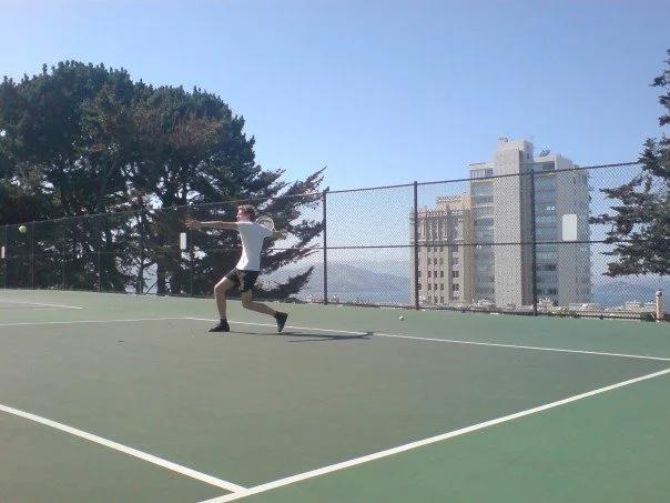 Outdoor courts9.0 mi away
George Sterling Park · San Francisco Bay Area
Alice Marble Tennis Courts
Stunning rooftop-style public courts on Russian Hill named for the tennis champion, offering unmatched views of Alcatraz and San Francisco Bay.
Outdoor Play