Lago di Braies / Pragser Wildsee
- Best season
- May–Oct (Peak Trail Window)
- Dogs
- Allowed on leash
The spot
The pearl of Dolomite lakes, flanked by the massive limestone wall of Croda del Becco and historic wooden rowboats moored at the stilt boathouse.
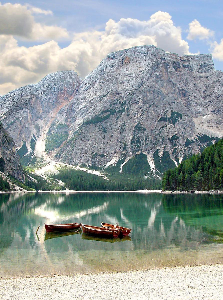
More views of Lago di Braies / Pragser Wildsee
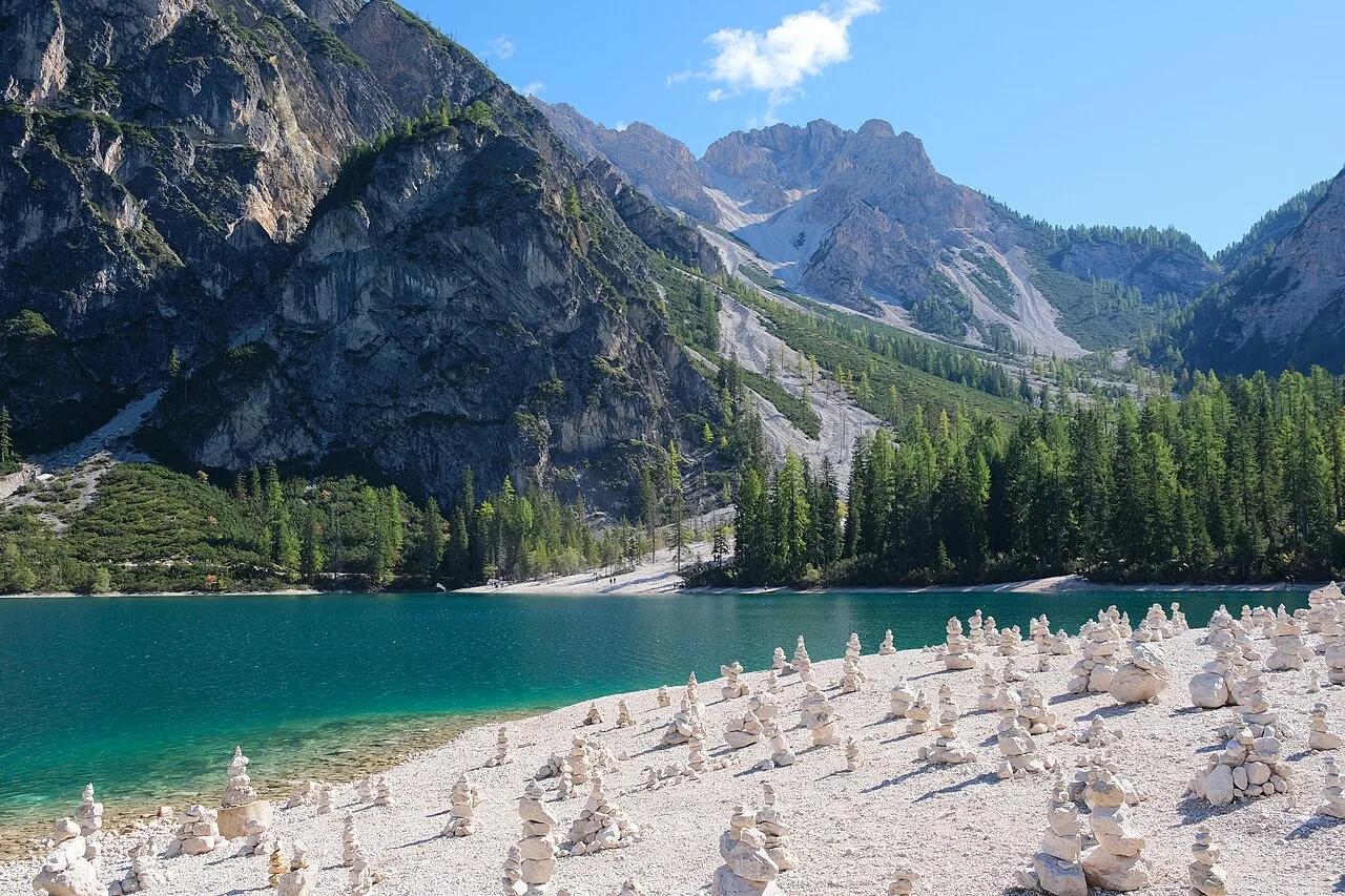
Photo: kallerna · CC BY-SA 4.0
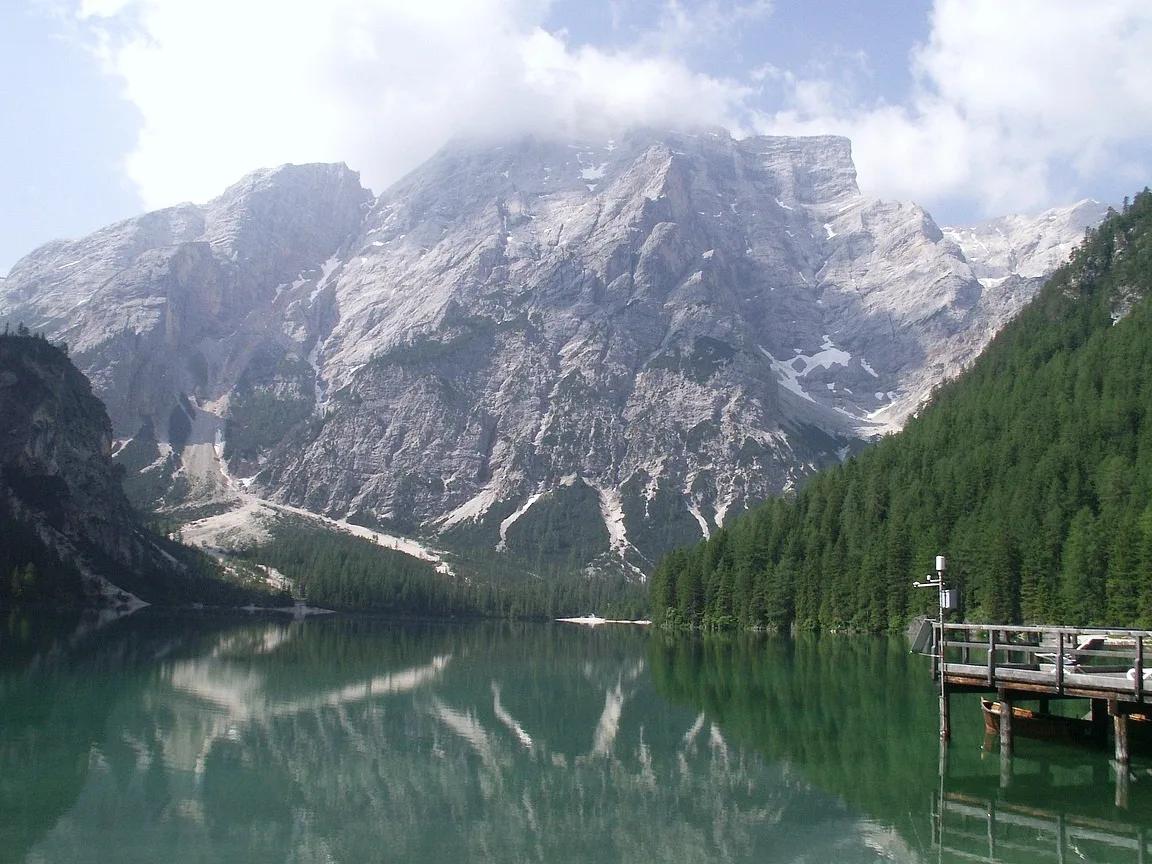
Photo: Jiří Bernard · CC BY-SA 3.0
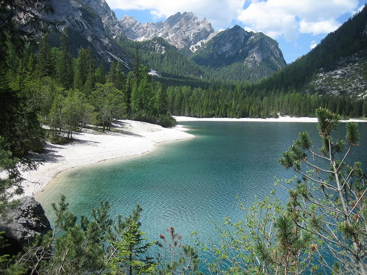
Photo: creator-bz at German Wikipedia · Public domain
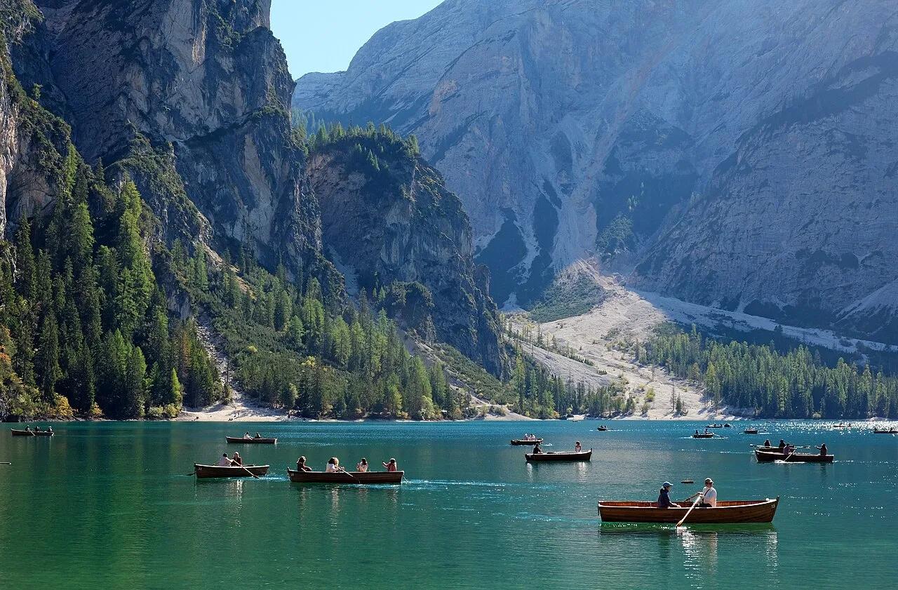
Photo: kallerna · CC BY-SA 4.0
Sun & golden hour today
Share your visit
Been here? Post it with a card that shows where it is and what it takes to get there.
- 1
- 2
Paste the caption
Lago di Braies / Pragser Wildsee · Fanes-Sennes-Prags Nature Park, South Tyrol
2 hr
Where it is & how to get there: hikespot.com/spots/lago-di-braies
#lagodibraiespragserwildsee #fanessennespragsnaturepark #southtyrol #hiking #hikespot
- 3
Add the location tag Lago di Braies / Pragser Wildsee so people can find it
Leading a Meetup or group hike here?
Copy a ready-to-post Meetup.com event briefing with exact trailhead pin links, distance, elevation gain, dog policy, and live route map.
What you can do here & routes
Hiking
Basis: OpenStreetMap / land-manager record
Kayak & SUP
Basis: OpenStreetMap / land-manager record
Nature walk
Basis: OpenStreetMap / land-manager record
Picnic
Basis: Lakeshore day-use & picnic access
Connected trails & routes (2)
- easy
Walk & Hike
Lago di Braies Lakeshore Circuit
- Surface
- natural trail
- Trailhead / Start
- Lago di Braies / Pragser Wildsee Trailhead
Route source: OpenStreetMap · ODbL-1.0
- strenuous
Walk & Hike
Croda del Becco (Seekofel) Summit Trail
- Surface
- natural trail
- Trailhead / Start
- Lago di Braies / Pragser Wildsee Trailhead
Route source: OpenStreetMap · ODbL-1.0
Practical details & access
Sourced from OpenStreetMap and public land-manager records. Unverified fields are marked honestly rather than guessed.
- Park / Land manager
- Fanes-Sennes-Prags Nature Park
- Typical time & effort
- 1–3 hours · easy effort
- Parking & entrances
- Online ticket reservation strictly required for parking in summer
- Fees & permits
- Free public access
- Dogs policy
- Allowed on leash
- Facilities & amenities
- Restrooms: Unknown · Water: Unknown
- Elevation
- 4,908 ft (1496 m)
- Coordinates
- 46.6947° N, 12.0853° E
Recommended gear & preparation
- Bring a USCG-approved personal flotation device (PFD), dry bag, and quick-dry layers for water access.
- Download offline trail maps ahead of arrival, as cell coverage can drop inside canyons and forested basins.
- Dogs are permitted on a 6-foot leash; pack extra water and waste bags for pets.
Location & access map
Drag to pan. Double-click, pinch or scroll to zoom. Keyboard: arrow keys and +/−. Cards below remain available.
Loading map… Browse the spot cards below at any time.
Geography source: OpenStreetMap (world:lago-di-braies) · CC BY-SA 4.0. Coordinates mark the mapped feature; always follow signed public entrances and trailheads.
Right now
Checking official sources…
Official readings, shown with their own timestamps. Conditions in the mountains change faster than any feed — treat these as a briefing, not a guarantee.
Safety & access notice
Absence of an alert is not a guarantee that a place is open or safe. Always verify seasonal road closures, fire restrictions, surf/water hazards and local rules before heading out.
Continue the outing
Nearby outdoor places & things to do
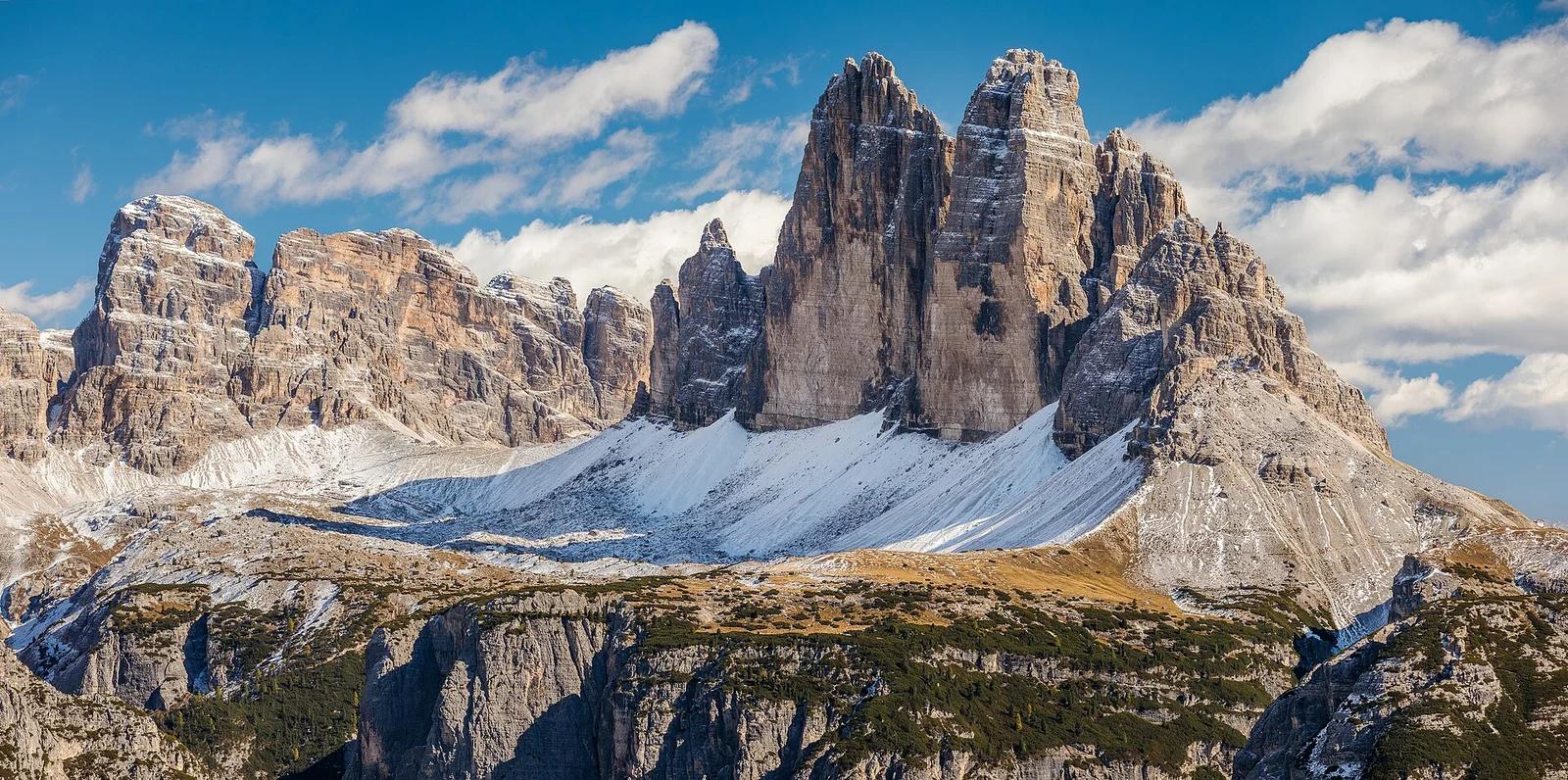 Mountain11.6 mi away
Parco Naturale Tre Cime · Dolomites & Italy
Tre Cime di Lavaredo Loop
The defining trio of sheer limestone battlements in the Sexten Dolomites, circled by an iconic high-altitude circuit past Rifugio Locatelli.
Walk & Hike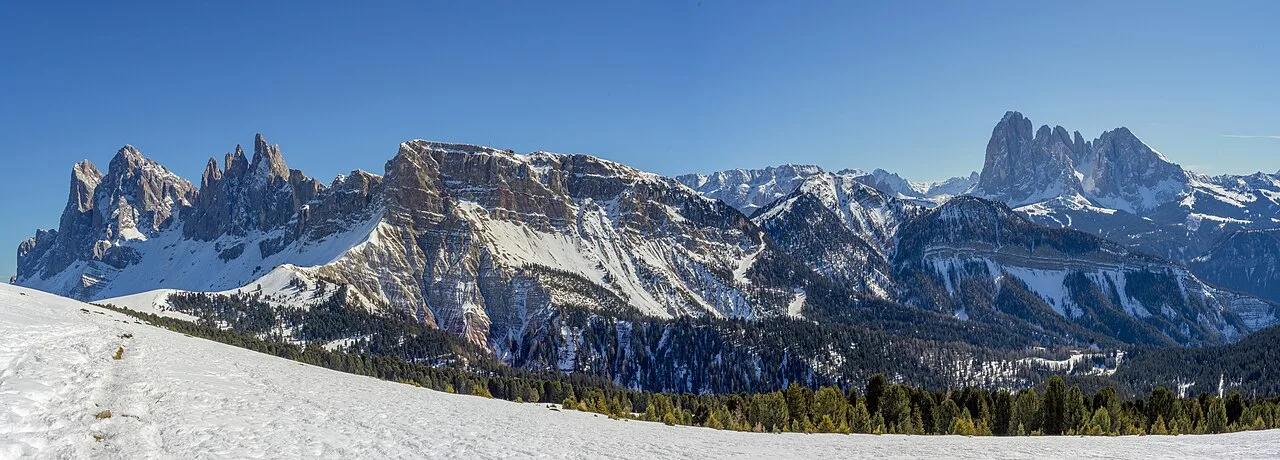 Summit18.2 mi away
Puez-Odle Nature Park (Dolomites UNESCO) · European Alps
Seceda Ridgeline & Fermeda Spires (Odle / Geisler)
2,518-meter emerald alpine pasture tilted dramatically toward the jagged diagonal Dolomite blades of the Fermeda and Odle group.
Walk & HikeViews & Nature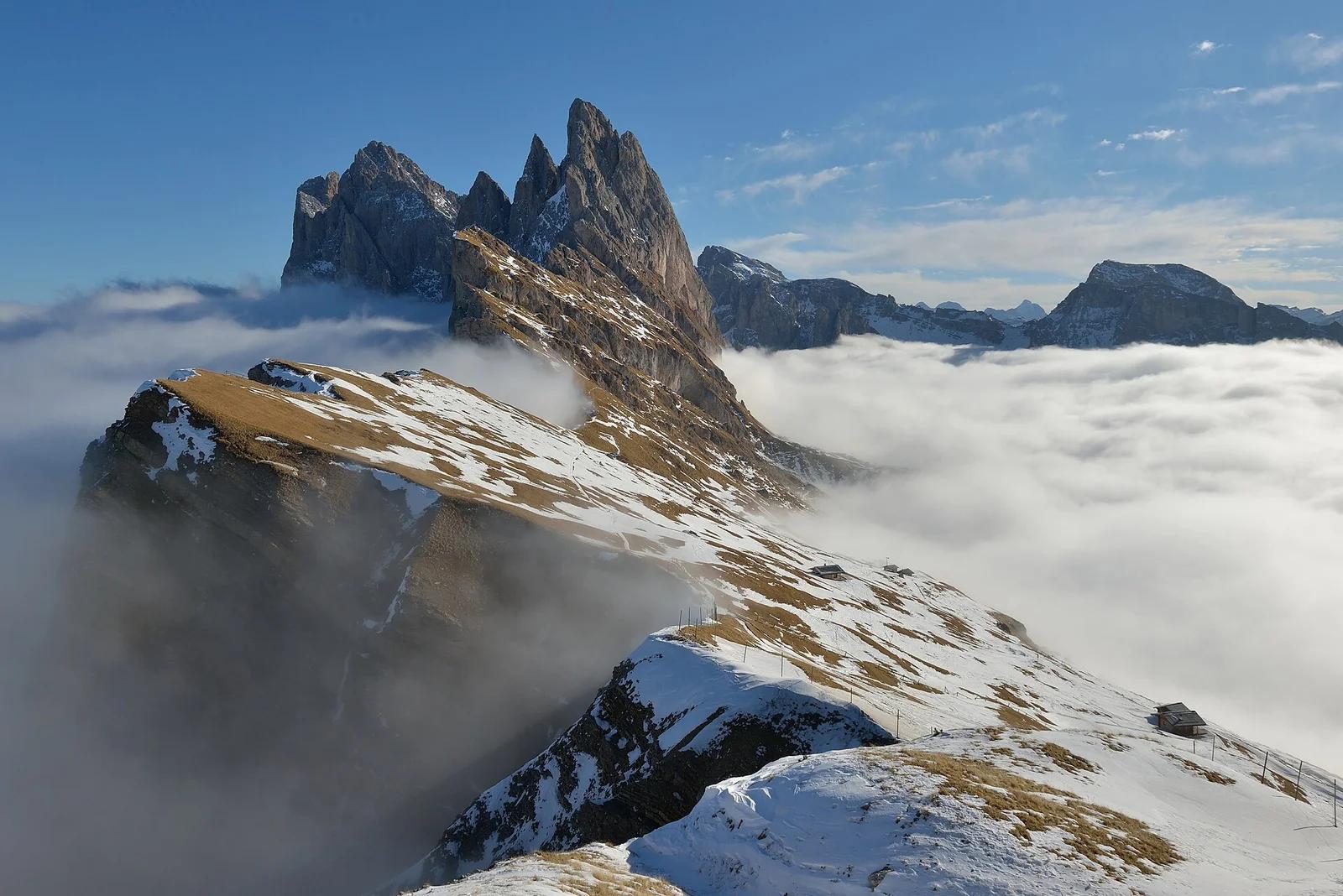 Mountain ridge18.3 mi away
Puez-Geisler Nature Park · Dolomites & Italy
Seceda Ridgeline
Staggering angled knife-edge escarpment dropping precipitously down to Val di Funes, with serrated Geisler / Odle peaks piercing the sky.
Walk & HikeViews & Nature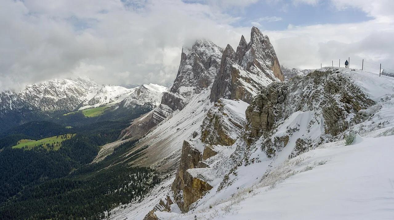 Summit18.4 mi away
Puez-Odle Nature Park (Dolomites UNESCO) · European Alps
Seceda Ridgeline & Pieralongia Spires (Val Gardena)
Iconic tilted green alpine meadow sweeping up to the jagged 2,500-meter dolomite sawtooth blades of the Odle/Geisler group.
Walk & HikeViews & Nature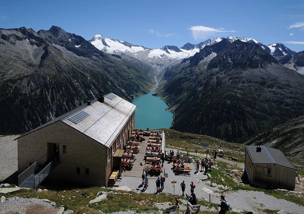 Viewpoint30.3 mi away
High Alps Nature Park Zillertal · European Alps
Olpererhütte Suspension Bridge & Schlegeisspeicher
High-alpine suspension footbridge spanning a mountain stream at 2,389 meters with a dramatic vertical backdrop of turquoise Lake Schlegeis.
Walk & HikeViews & Nature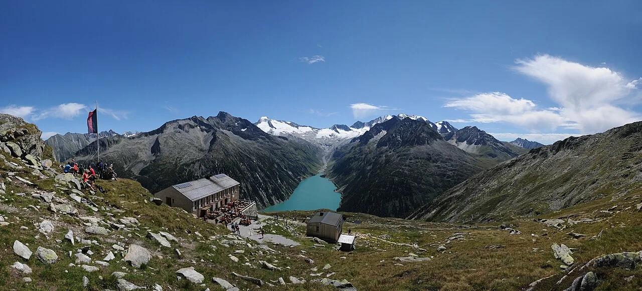 Summit30.7 mi away
Zillertal Alps High Mountain Nature Park · European Alps
Olpererhütte Suspension Bridge & Schlegeis Stausee
Stone alpine climb above turquoise Schlegeis Reservoir to a famous wooden suspension footbridge framing the glaciated Zillertal crest.
Walk & HikeViews & Nature