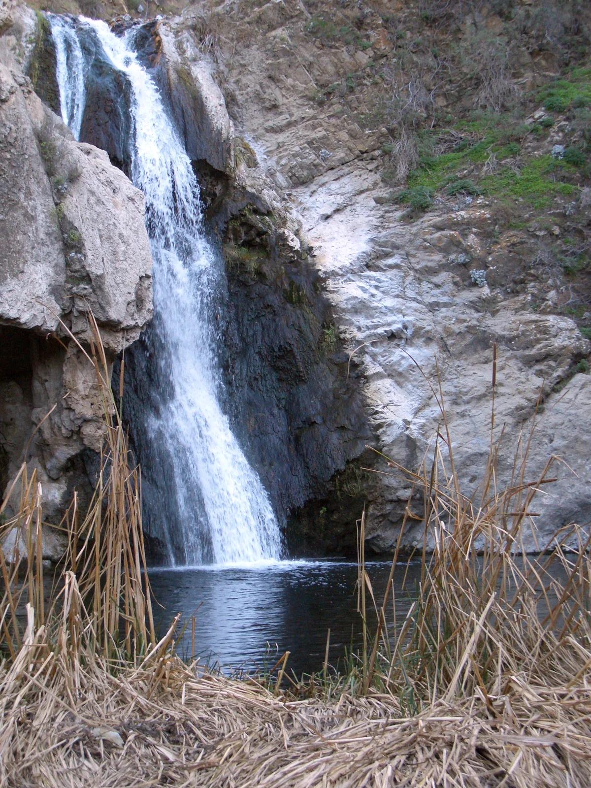
Paradise Falls
- Primary distance
- 2.6 mi · 4.2 km
- Elevation gain
- 443 ft · 135 m
- Est. moving time
- 1 hr 5 min
- Best season
- Apr–Nov (Year-round mild)
- Dogs
- Allowed on leash
The spot
Verified California waterfall in Central Valley & Foothills.
Sun & golden hour today
Share your visit
Been here? Post it with a card that shows where it is and what it takes to get there.
- 1
- 2
Paste the caption
Paradise Falls · Central Valley & Foothills, California
2.6 mi · 443 ft climb
Where it is & how to get there: hikespot.com/spots/paradise-falls-6789102403
#paradisefalls #centralvalleyfoothills #california #hiking #hikespot
- 3
Add the location tag Paradise Falls so people can find it
Leading a Meetup or group hike here?
Copy a ready-to-post Meetup.com event briefing with exact trailhead pin links, distance, elevation gain, dog policy, and live route map.
What you can do here & routes
Hiking
Basis: OpenStreetMap / land-manager classification
Wildlife & nature
Basis: OpenStreetMap / land-manager classification
Scenic view
Basis: OpenStreetMap / land-manager record
Connected trails & routes (2)
- moderate
Walk & Hike
Paradise Falls Waterfall Trail
- Distance
- 2.6 mi
- Elevation gain
- 443 ft
- Est. moving
- 1 hr 5 min
- Surface
- natural trail
- Trailhead / Start
- Paradise Falls Trailhead
Route source: OpenStreetMap / Public Park Trail Guide · ODbL-1.0 · Source record
- easy
Views & Nature
Paradise Falls Lower Overlook & Nature Walk
- Distance
- 1.1 mi
- Elevation gain
- 115 ft
- Est. moving
- 25 min
- Surface
- natural trail
- Trailhead / Start
- Paradise Falls Day-Use Trailhead
Route source: OpenStreetMap / Public Park Trail Guide · ODbL-1.0 · Source record
Practical details & access
Sourced from OpenStreetMap and public land-manager records. Unverified fields are marked honestly rather than guessed.
- Park / Land manager
- Central Valley & Foothills
- Typical time & effort
- 1–3 hours · moderate effort
- Parking & entrances
- Signed trailhead lot or roadside pullout for Paradise Falls
- Fees & permits
- Free public access
- Dogs policy
- Allowed on leash
- Facilities & amenities
- Restrooms: Unknown · Water: Unknown
- Coordinates
- 34.2144° N, 118.9105° W
Recommended gear & preparation
- Wear grippy trail footwear and carry at least 1–2 liters of water per person along with sun protection.
- Download offline trail maps ahead of arrival, as cell coverage can drop inside canyons and forested basins.
- Dogs are permitted on a 6-foot leash; pack extra water and waste bags for pets.
Location & access map
Drag to pan. Double-click, pinch or scroll to zoom. Keyboard: arrow keys and +/−. Cards below remain available.
Loading map… Browse the spot cards below at any time.
Geography source: OpenStreetMap (osm:node/6789102403) · ODbL-1.0. Coordinates mark the mapped feature; always follow signed public entrances and trailheads.
Right now
Checking official sources…
Official readings, shown with their own timestamps. Conditions in the mountains change faster than any feed — treat these as a briefing, not a guarantee.
Safety & access notice
Absence of an alert is not a guarantee that a place is open or safe. Always verify seasonal road closures, fire restrictions, surf/water hazards and local rules before heading out.
Continue the outing
Nearby outdoor places & things to do
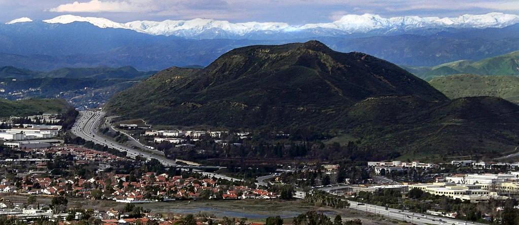 Peak4.6 mi away
Central Valley & Foothills
Conejo Mountain
Verified California peak at 1,798 ft in Central Valley & Foothills.
Walk & HikeViews & Nature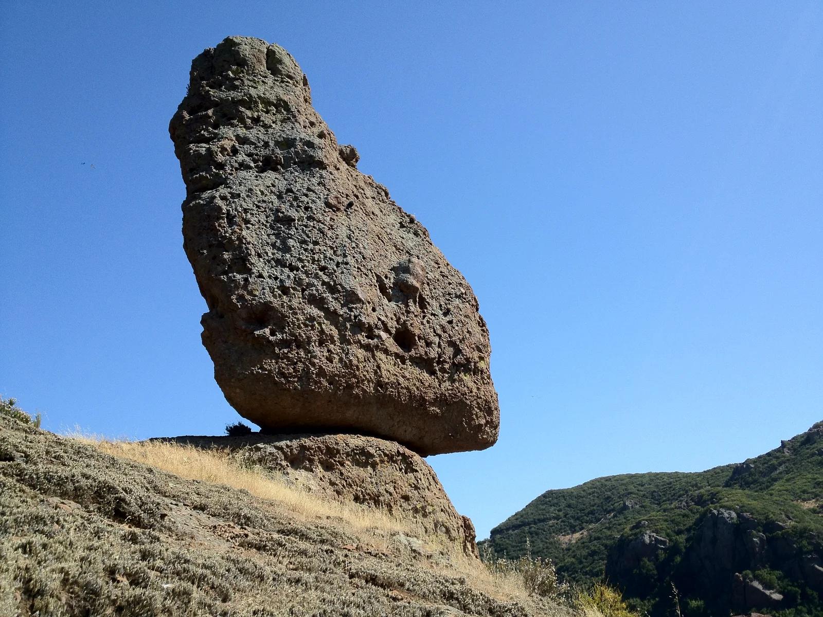 Canyon6.3 mi away
Circle X Ranch / Santa Monica Mountains · Southern California
Mishe Mokwa - Split Rock
A backcountry loop featuring balanced boulders, red rock canyons, and the shaded picnic oak grove at Split Rock.
Walk & HikeViews & Nature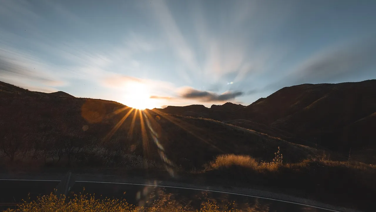 Peak6.6 mi away
Santa Monica Mountains National Recreation Area · Santa Monica Mountains
Sandstone Peak (Mishe Mokwa Trail)
Hilltop in Santa Monica Mountains National Recreation Area (Santa Monica Mountains), about 40 miles west of downtown Los Angeles. Typical outing is 6.1 miles with 1,075 ft of climb. Popular with local hikers and Los Angeles hiking Meetup groups.
Walk & HikeViews & Nature Summit6.6 mi away
Santa Monica Mountains National Recreation Area · Santa Monica Mountains
Sandstone Peak
The highest point in the Santa Monica Mountains, climbed from the Mishe Mokwa trailhead along the Backbone Trail at Circle X Ranch.
Walk & HikeViews & Nature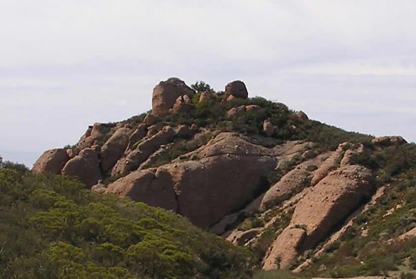 Peak7.0 mi away
Santa Monica Mountains
Boney Peak
Verified California peak in Santa Monica Mountains. Linked to Backbone Trail.
Walk & HikeViews & Nature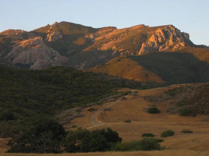 Mountain pass7.0 mi away
Santa Monica Mountains National Recreation Area · Santa Monica Mountains
Triunfo Pass
Verified California saddle at 2,103 ft in Santa Monica Mountains National Recreation Area (Santa Monica Mountains). Linked to Backbone Trail.
Walk & HikeViews & NatureCamp & Picnic