Bright Angel Trail
- Primary distance
- 6 mi · 9.6 km
- Elevation gain
- 2,110 ft · 643 m
- Est. moving time
- 3 hr 5 min
- Best season
- May–Oct (Peak Trail Window)
- Dogs
- Not permitted
The spot
The premier corridor trail carving from South Rim village through 4,380 vertical feet of layered geology to the Colorado River.
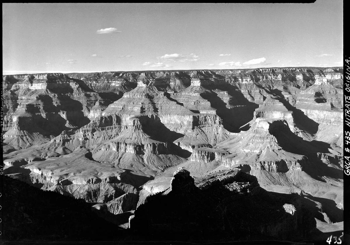
More views of Bright Angel Trail
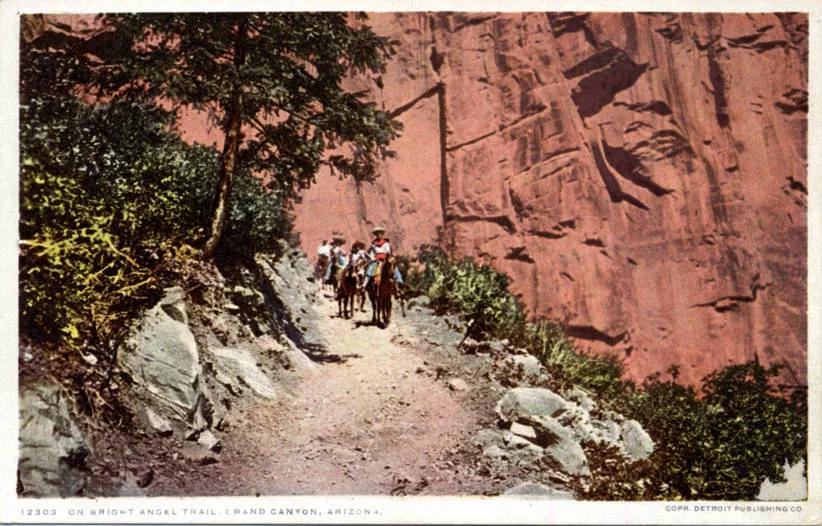
Photo: Unknown authorUnknown author · Public domain
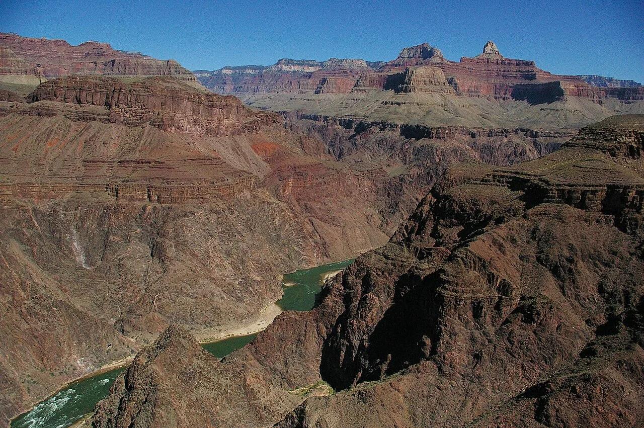
Photo: Mrmcdonnell at English Wikipedia · Public domain
Sun & golden hour today
Share your visit
Been here? Post it with a card that shows where it is and what it takes to get there.
- 1
- 2
Paste the caption
Bright Angel Trail · Grand Canyon National Park, Arizona
6 mi · 2,110 ft climb
Where it is & how to get there: hikespot.com/spots/us-bright-angel-trail
#brightangeltrail #grandcanyonnationalpark #arizona #hiking #hikespot
- 3
Add the location tag Bright Angel Trail so people can find it
Leading a Meetup or group hike here?
Copy a ready-to-post Meetup.com event briefing with exact trailhead pin links, distance, elevation gain, dog policy, and live route map.
What you can do here & routes
Hiking
Rim-to-river corridor trail
Basis: National Park Service
Scenic view
Mile-deep canyon vistas
Basis: National Park Service
Camping
Basis: Designated campgrounds and day-use picnic areas within Grand Canyon National Park
Connected trails & routes (2)
- strenuous
Walk & Hike
Bright Angel Trail to 3-Mile Resthouse
- Distance
- 6 mi
- Elevation gain
- 2,110 ft
- Est. moving
- 3 hr 5 min
- Surface
- dirt_and_rock_steps
- Trailhead / Start
- Bright Angel Trail Trailhead
Route source: National Park Service · ODbL-1.0
- easy
Walk & Hike
Grand Canyon National Park Scenic Connector Loop
- Distance
- 2 mi
- Elevation gain
- 197 ft
- Est. moving
- 45 min
- Surface
- natural trail
- Trailhead / Start
- Bright Angel Trail Day-Use Trailhead
Route source: OpenStreetMap / Public Park Trail Guide · ODbL-1.0 · Source record
Practical details & access
Sourced from OpenStreetMap and public land-manager records. Unverified fields are marked honestly rather than guessed.
- Park / Land manager
- Grand Canyon National Park
- Typical time & effort
- Half day (3–5 hrs) · strenuous effort
- Parking & entrances
- Grand Canyon Village lots
- Fees & permits
- Grand Canyon NP entry pass.
- Dogs policy
- Not permitted
- Facilities & amenities
- Restrooms: Available · Water: Available · Lighting: Daylight only
- Elevation
- 6,857 ft (2090 m)
- Coordinates
- 36.0573° N, 112.1436° W
Recommended gear & preparation
- Electrolytes
- Salty snacks
- Trekking poles
Location & access map
Drag to pan. Double-click, pinch or scroll to zoom. Keyboard: arrow keys and +/−. Cards below remain available.
Loading map… Browse the spot cards below at any time.
Geography source: OpenStreetMap (us:bright-angel-trail) · Public domain. Coordinates mark the mapped feature; always follow signed public entrances and trailheads.
Right now
Checking official sources…
Official readings, shown with their own timestamps. Conditions in the mountains change faster than any feed — treat these as a briefing, not a guarantee.
Safety & access notice
Absence of an alert is not a guarantee that a place is open or safe. Always verify seasonal road closures, fire restrictions, surf/water hazards and local rules before heading out.
Continue the outing
Nearby outdoor places & things to do
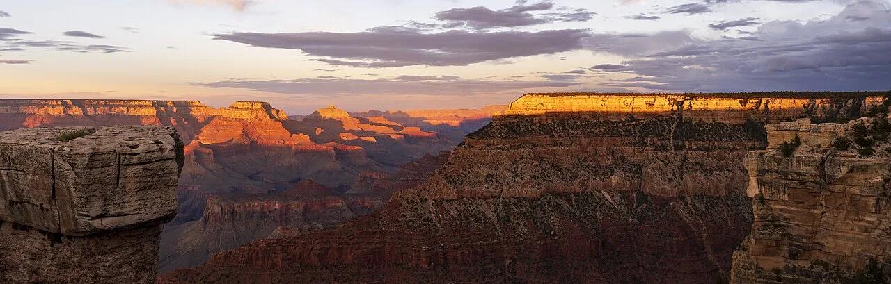 Campsite1.3 mi away
Grand Canyon National Park · Grand Canyon & Northern Arizona
Mather Campground & South Rim Greenway
Ponderosa pine campsites a half-mile walk from the South Rim Abyss, Yavapai Point, and Rim Trail sunset overlooks.
Camp & PicnicWalk & Hike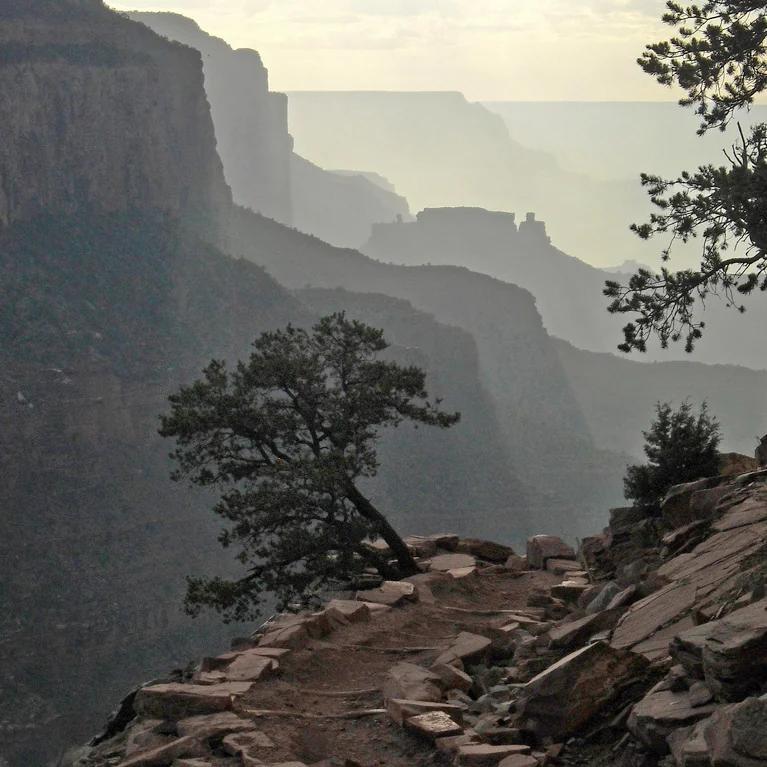 Hiking trail3.3 mi away
Grand Canyon National Park · Grand Canyon & Arizona
South Kaibab Trail to Ooh Aah Point
An exhilarating ridge-line descent delivering unobstructed panoramic views of the inner canyon gorge.
Walk & HikeViews & NatureCamp & Picnic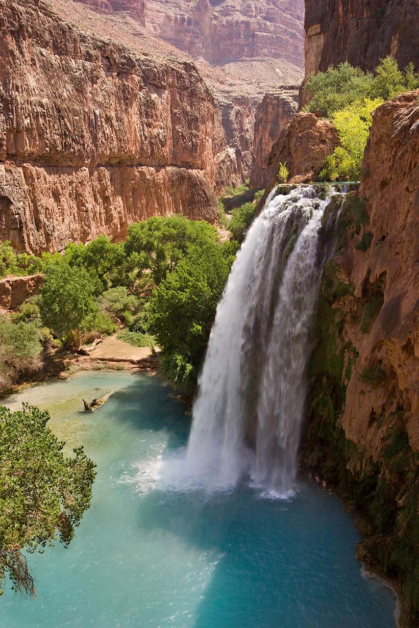 Waterfall33.8 mi away
Havasupai Indian Reservation · Grand Canyon
Havasu Falls (Havasupai Canyon)
World-renowned 100-foot travertine waterfall plunging into vibrant turquoise pools in a remote side canyon of the Grand Canyon.
Paddle, Swim & FishWalk & HikeViews & Nature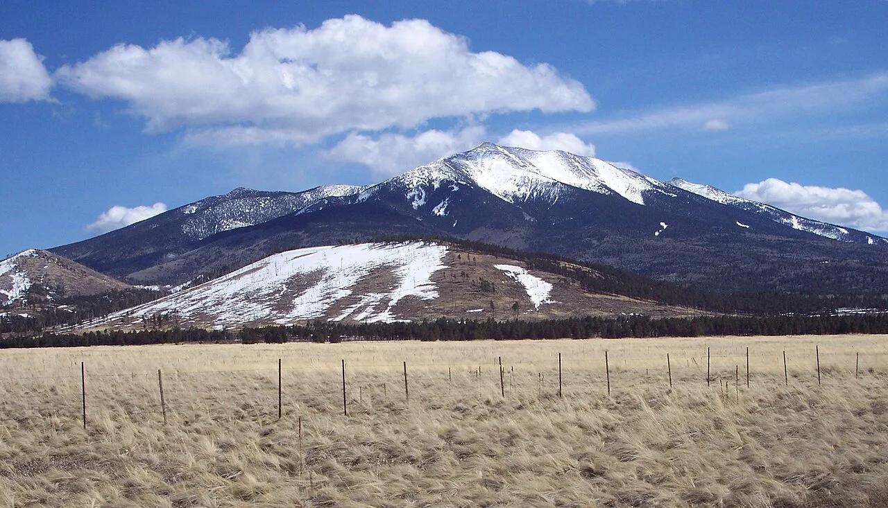 Summit55.6 mi away
Kachina Peaks Wilderness · Northern Arizona
Humphreys Peak (Arizona High Point)
Highest natural point in Arizona at 12,637 feet offering vistas across the Grand Canyon from a glaciated stratovolcano.
Walk & HikeViews & Nature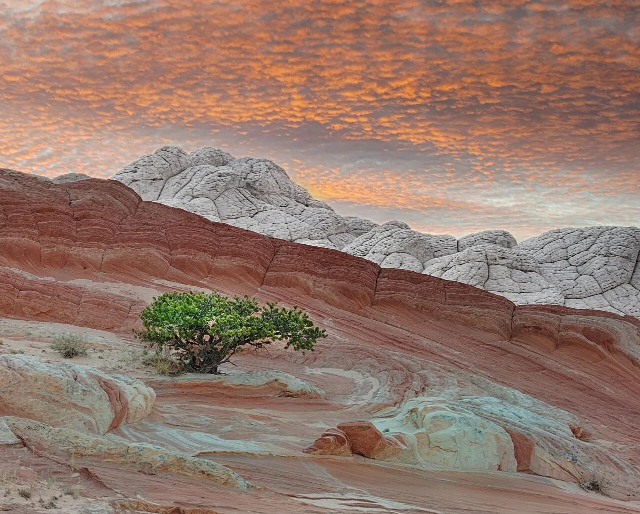 Viewpoint63.6 mi away
Vermilion Cliffs National Monument · American Southwest
White Pocket (Vermilion Cliffs)
Swirling brain-rock domes and twisted red-and-white Navajo Sandstone strata on the remote Paria Plateau.
Views & NatureWalk & Hike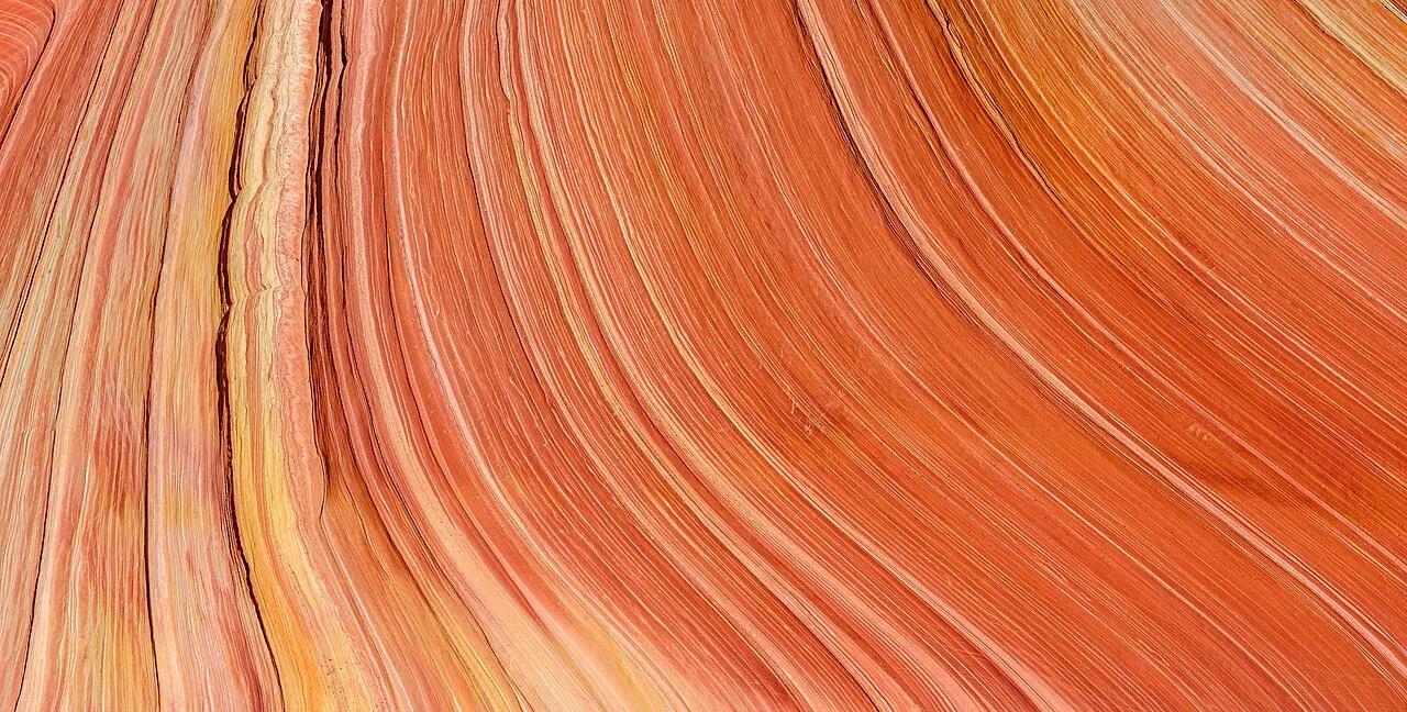 Canyon65.3 mi away
Paria Canyon-Vermilion Cliffs Wilderness · Vermilion Cliffs
The Wave (Coyote Buttes North)
Undulating, swirling Jurassic Navajo Sandstone troughs sculpted into mesmerizing patterns by wind and prehistoric water.
Walk & HikeViews & Nature