Old Rag Mountain
- Primary distance
- 9.4 mi · 15.1 km
- Elevation gain
- 2,379 ft · 725 m
- Est. moving time
- 4 hr 20 min
- Best season
- Apr–Nov (Year-round mild)
- Dogs
- Not permitted
The spot
Shenandoah's most popular and exhilarating hike, featuring a challenging mile-long granite boulder scramble to a bald summit.
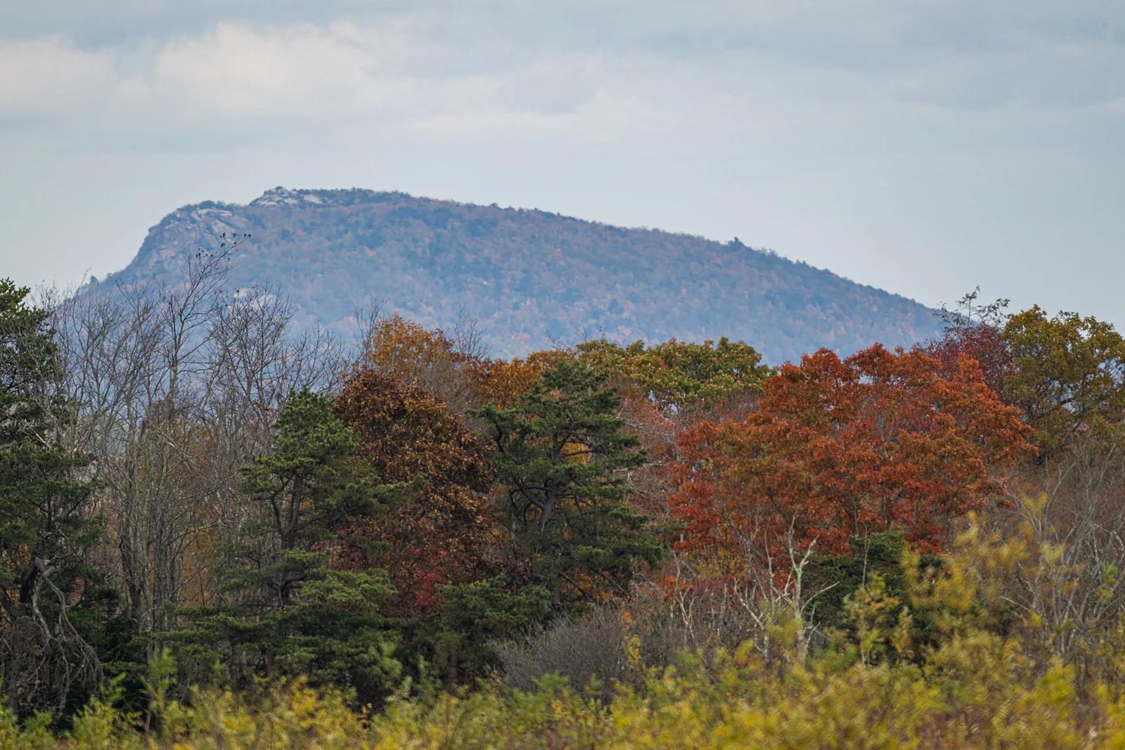
Sun & golden hour today
Share your visit
Been here? Post it with a card that shows where it is and what it takes to get there.
- 1
- 2
Paste the caption
Old Rag Mountain · Shenandoah National Park, Virginia
9.4 mi · 2,379 ft climb
Where it is & how to get there: hikespot.com/spots/us-old-rag-mountain
#oldragmountain #shenandoahnationalpark #virginia #hiking #hikespot
- 3
Add the location tag Old Rag Mountain so people can find it
Leading a Meetup or group hike here?
Copy a ready-to-post Meetup.com event briefing with exact trailhead pin links, distance, elevation gain, dog policy, and live route map.
What you can do here & routes
Hiking
Technical granite boulder scramble
Basis: National Park Service
Scenic view
360-degree Piedmont and Blue Ridge panoramas
Basis: National Park Service
Camping
Basis: Designated campgrounds and day-use picnic areas within Shenandoah National Park
Connected trails & routes (2)
- strenuous
Walk & Hike
Old Rag Loop Trail
- Distance
- 9.4 mi
- Elevation gain
- 2,379 ft
- Est. moving
- 4 hr 20 min
- Surface
- rocky_switchbacks_and_boulder_clefts
- Trailhead / Start
- Old Rag Mountain Trailhead
Route source: National Park Service · ODbL-1.0
- easy
Views & Nature
Old Rag Mountain Lower Overlook & Nature Walk
- Distance
- 3.5 mi
- Elevation gain
- 591 ft
- Est. moving
- 1 hr 30 min
- Surface
- natural trail
- Trailhead / Start
- Old Rag Mountain Day-Use Trailhead
Route source: OpenStreetMap / Public Park Trail Guide · ODbL-1.0 · Source record
Practical details & access
Sourced from OpenStreetMap and public land-manager records. Unverified fields are marked honestly rather than guessed.
- Park / Land manager
- Shenandoah National Park
- Typical time & effort
- Full day (5+ hrs) · strenuous effort
- Parking & entrances
- Old Rag parking area on Route 600
- Fees & permits
- Shenandoah NP pass + Old Rag seasonal day-use ticket.
- Dogs policy
- Not permitted
- Facilities & amenities
- Restrooms: Available · Water: Bring your own · Lighting: Daylight only
- Elevation
- 3,291 ft (1003 m)
- Coordinates
- 38.5528° N, 78.3167° W
Recommended gear & preparation
- Grippy trail shoes
- 3L water
- Work gloves for rocks
Location & access map
Drag to pan. Double-click, pinch or scroll to zoom. Keyboard: arrow keys and +/−. Cards below remain available.
Loading map… Browse the spot cards below at any time.
Geography source: OpenStreetMap (us:old-rag-mountain) · Public domain. Coordinates mark the mapped feature; always follow signed public entrances and trailheads.
Right now
Checking official sources…
Official readings, shown with their own timestamps. Conditions in the mountains change faster than any feed — treat these as a briefing, not a guarantee.
Safety & access notice
Absence of an alert is not a guarantee that a place is open or safe. Always verify seasonal road closures, fire restrictions, surf/water hazards and local rules before heading out.
Continue the outing
Nearby outdoor places & things to do
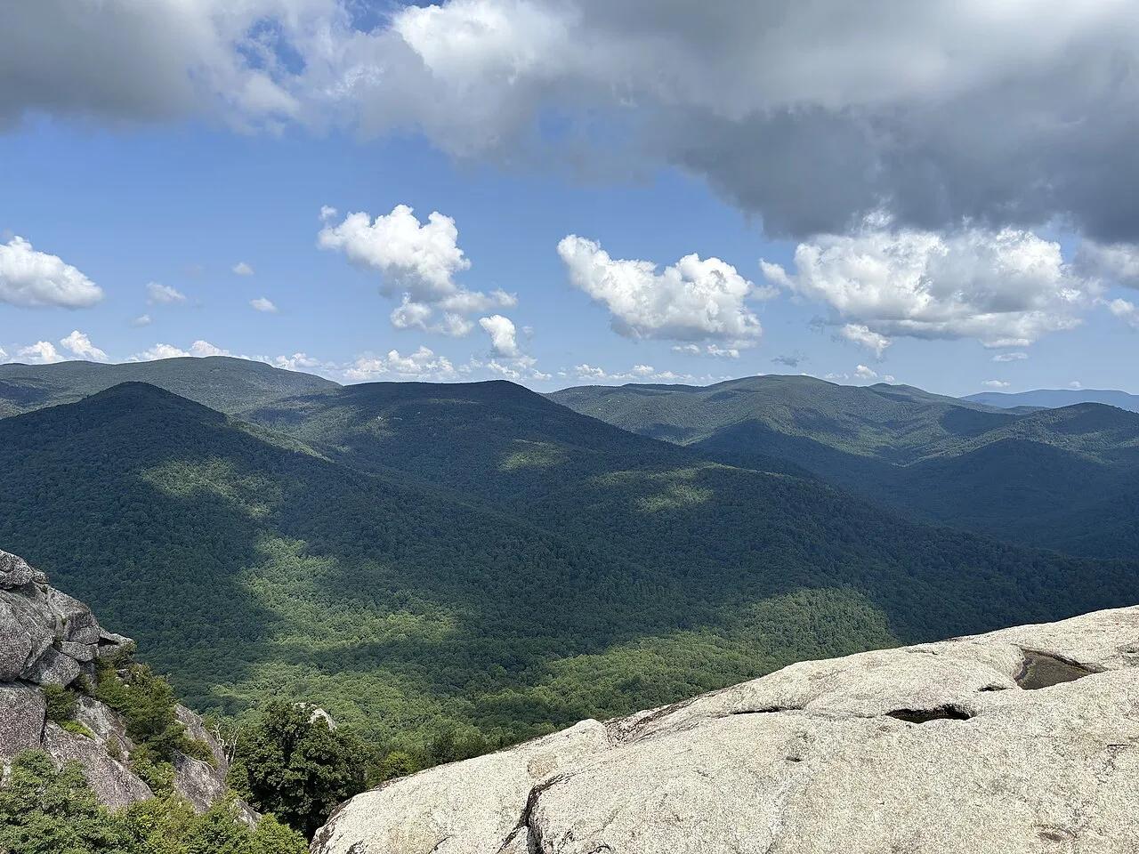 Summit0.1 mi away
Shenandoah National Park · Appalachian & Blue Ridge
Old Rag Mountain 360° Granite Rock Scramble
The Mid-Atlantic's most celebrated hike—a thrilling 1-mile boulder-crevice rock scramble to an exposed billion-year-old granite summit.
Walk & HikeViews & NatureCamp & Picnic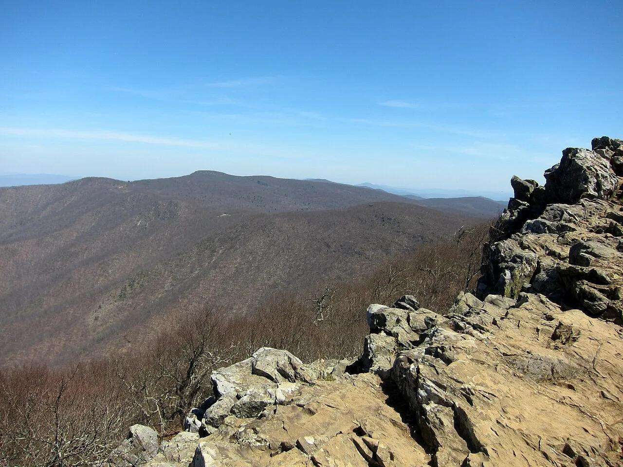 Summit4.3 mi away
Shenandoah National Park · Appalachian & Blue Ridge
Hawksbill Mountain (Shenandoah High Point)
Highest peak in Shenandoah National Park (4,050 ft), crowned by Byrds Nest Stone Shelter and rocky talus cliffs harboring the rare Shenandoah salamander.
Walk & HikeViews & NatureCamp & Picnic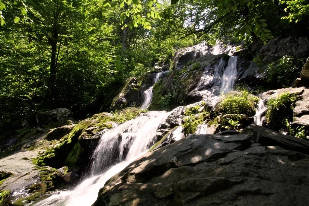 Waterfall6.4 mi away
Shenandoah National Park (Skyline Drive MP 50.7) · Appalachian & Blue Ridge
Dark Hollow Falls (Shenandoah)
70-foot cascading greenstone waterfall fed by Hogcamp Branch—the closest waterfall to Skyline Drive in Shenandoah National Park.
Walk & HikeViews & NatureCamp & Picnic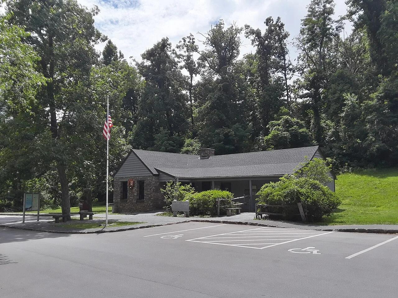 Viewpoint51.7 mi away
George Washington National Forest / Blue Ridge Parkway · Appalachian & Blue Ridge
Humpback Rocks (Blue Ridge Parkway MP 5.8)
Jagged greenstone cliff outcrop at the northern gateway of the Blue Ridge Parkway overlooking both the Shenandoah and Rockfish valleys.
Walk & HikeViews & NatureCamp & Picnic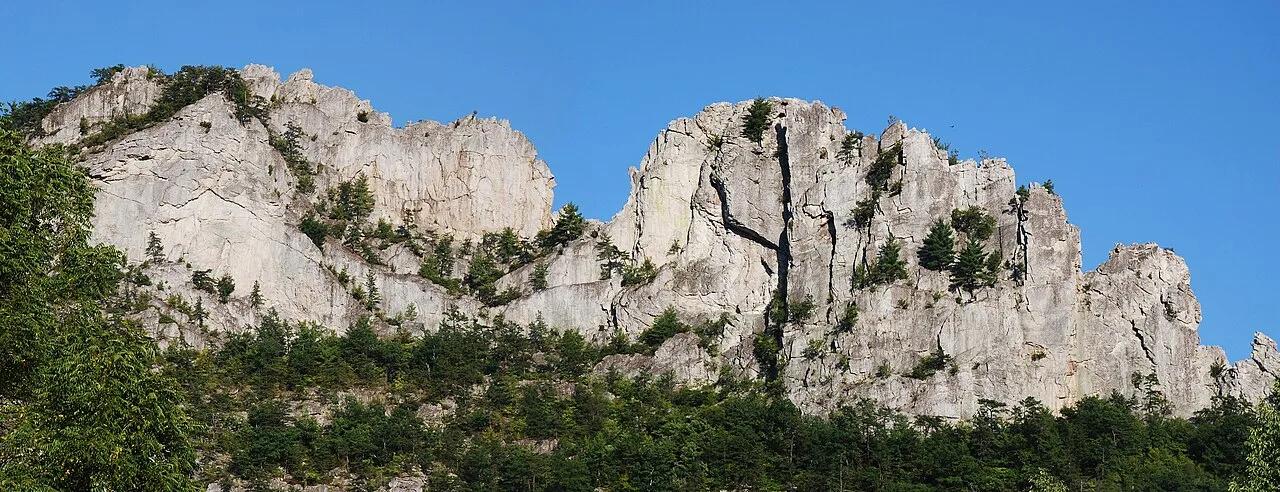 Summit59.9 mi away
Monongahela National Forest · Appalachian & Blue Ridge
Seneca Rocks Overlook
Razor-thin 900-foot Tuscarora quartzite fin rising above the North Fork South Branch Potomac River.
Walk & HikeViews & NatureCamp & Picnic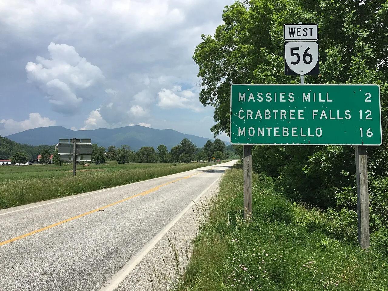 Waterfall63.8 mi away
George Washington National Forest (Montebello) · Appalachian & Blue Ridge
Crabtree Falls (Tallest Vertical Drop Cascade East of Mississippi)
Series of five major cascades and smaller drops plunging 1,200 vertical feet down a sheer granite cliff face into the Tye River Valley.
Walk & HikeViews & NatureCamp & Picnic