Precipice Trail
- Primary distance
- 3.2 mi · 5.2 km
- Elevation gain
- 1,050 ft · 320 m
- Est. moving time
- 1 hr 35 min
- Best season
- May–Oct (Peak Trail Window)
- Dogs
- Not permitted
The spot
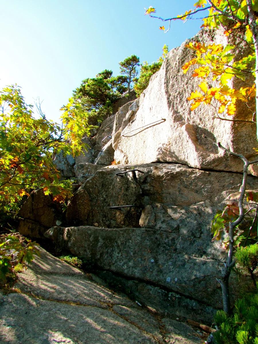
Acadia's most thrilling and rugged iron-rung route, scaling the vertical granite cliff face of Champlain Mountain.
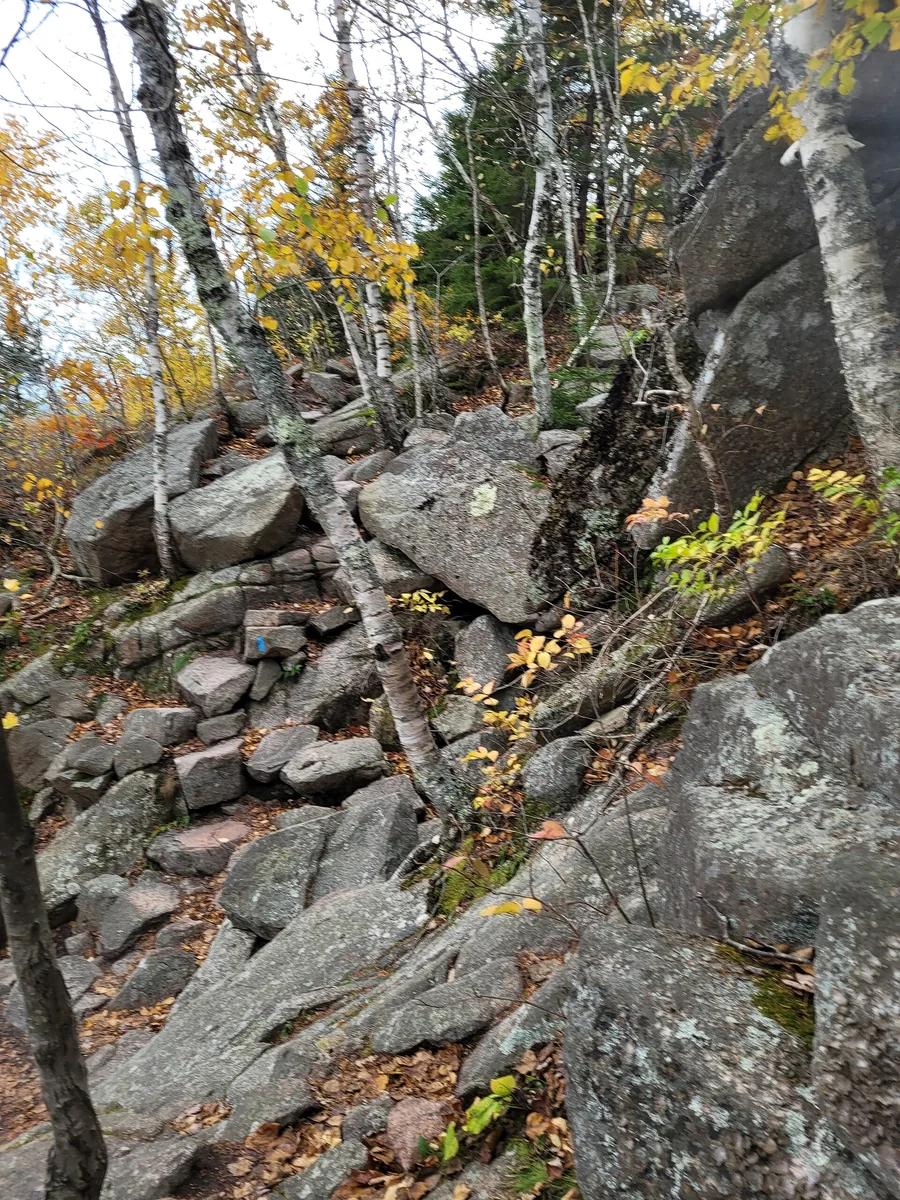
More views of Precipice Trail
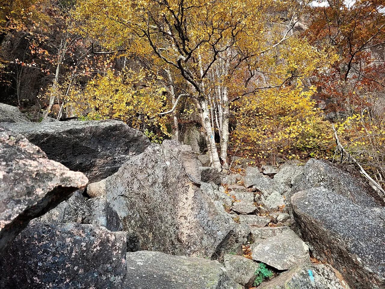
Photo: John Manard · CC BY-SA 2.0
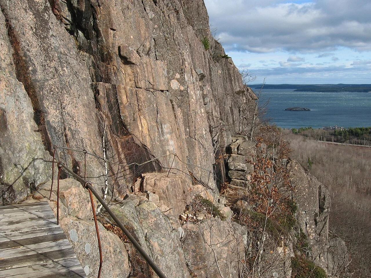
Photo: Fredlyfish4 derivative work: User:Maps and stuff (rotated 2.5 degrees clockwi... · CC BY-SA 4.0
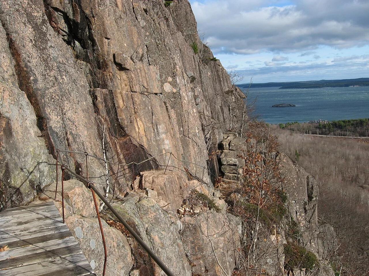
Photo: Fredlyfish4 · CC BY-SA 4.0
Sun & golden hour today
Share your visit
Been here? Post it with a card that shows where it is and what it takes to get there.
- 1
- 2
Paste the caption
Precipice Trail · Acadia National Park, Maine
3.2 mi · 1,050 ft climb
Where it is & how to get there: hikespot.com/spots/us-precipice-trail-acadia
#precipicetrail #acadianationalpark #maine #hiking #hikespot
- 3
Add the location tag Precipice Trail so people can find it
Leading a Meetup or group hike here?
Copy a ready-to-post Meetup.com event briefing with exact trailhead pin links, distance, elevation gain, dog policy, and live route map.
What you can do here & routes
Hiking
Vertical via-ferrata style iron rungs and ladders
Basis: National Park Service
Scenic view
Atlantic Ocean and Frenchman Bay panorama
Basis: National Park Service
Camping
Basis: Designated campgrounds and day-use picnic areas within Acadia National Park
Connected trails & routes (2)
- strenuous
Walk & Hike
Precipice Loop Trail
- Distance
- 3.2 mi
- Elevation gain
- 1,050 ft
- Est. moving
- 1 hr 35 min
- Surface
- exposed_granite_and_iron_rungs
- Trailhead / Start
- Precipice Trail Trailhead
Route source: National Park Service · ODbL-1.0
- easy
Walk & Hike
Acadia National Park Scenic Connector Loop
- Distance
- 2 mi
- Elevation gain
- 197 ft
- Est. moving
- 45 min
- Surface
- natural trail
- Trailhead / Start
- Precipice Trail Day-Use Trailhead
Route source: OpenStreetMap / Public Park Trail Guide · ODbL-1.0 · Source record
Practical details & access
Sourced from OpenStreetMap and public land-manager records. Unverified fields are marked honestly rather than guessed.
- Park / Land manager
- Acadia National Park
- Typical time & effort
- 1–3 hours · strenuous effort
- Parking & entrances
- Precipice parking lot on Park Loop Road
- Fees & permits
- Acadia NP vehicle pass.
- Dogs policy
- Not permitted
- Facilities & amenities
- Restrooms: None on site · Water: Bring your own · Lighting: Daylight only
- Elevation
- 1,050 ft (320 m)
- Coordinates
- 44.3489° N, 68.1883° W
Recommended gear & preparation
- Grippy boots
- Hands-free pack
- No fear of heights
Location & access map
Drag to pan. Double-click, pinch or scroll to zoom. Keyboard: arrow keys and +/−. Cards below remain available.
Loading map… Browse the spot cards below at any time.
Geography source: OpenStreetMap (us:precipice-trail-acadia) · CC BY-SA 2.0. Coordinates mark the mapped feature; always follow signed public entrances and trailheads.
Right now
Checking official sources…
Official readings, shown with their own timestamps. Conditions in the mountains change faster than any feed — treat these as a briefing, not a guarantee.
Safety & access notice
Absence of an alert is not a guarantee that a place is open or safe. Always verify seasonal road closures, fire restrictions, surf/water hazards and local rules before heading out.
Continue the outing
Nearby outdoor places & things to do
 Hiking trail1.2 mi away
Acadia National Park · New England & Adirondacks
Beehive Loop Trail
A steep granite climb featuring exposed iron rungs and wooden bridges ascending the cliff face above Sand Beach.
Walk & HikeViews & NatureCamp & Picnic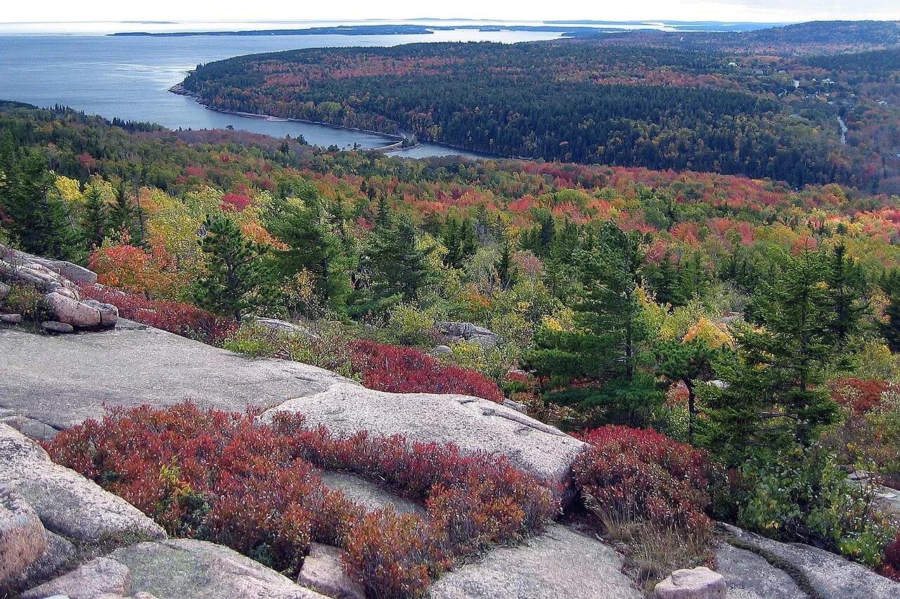 Summit1.3 mi away
Acadia National Park · Downeast Maine
Gorham Mountain & Cadillac Cliffs Loop
Granite ledges and prehistoric sea-caves carved during post-glacial rebound overlooking Sand Beach and the open Atlantic.
Walk & HikeViews & NatureCamp & Picnic Summit1.8 mi away
Acadia National Park · Downeast Maine
Cadillac Mountain North Ridge Trail
Ascend bare pink granite ridges with sweeping views over Frenchman Bay and the Porcupine Islands to the highest peak on the Atlantic coast.
Walk & HikeViews & NatureCamp & Picnic Hiking trail1.9 mi away
Acadia National Park · New England & Adirondacks
Ocean Path & Thunder Hole
Traces pink granite coastal headlands from Sand Beach past the booming sea-surge of Thunder Hole to Otter Cliff.
Walk & HikeViews & NatureCamp & Picnic Campsite2.8 mi away
Acadia National Park (Mount Desert Island) · Northeast & New England
Blackwoods Campground & Otter Cliffs
Spruce-fir coastal forest campground linked by footpath to the pink granite sea cliffs of Otter Point and Gorham Mountain.
Camp & PicnicWalk & Hike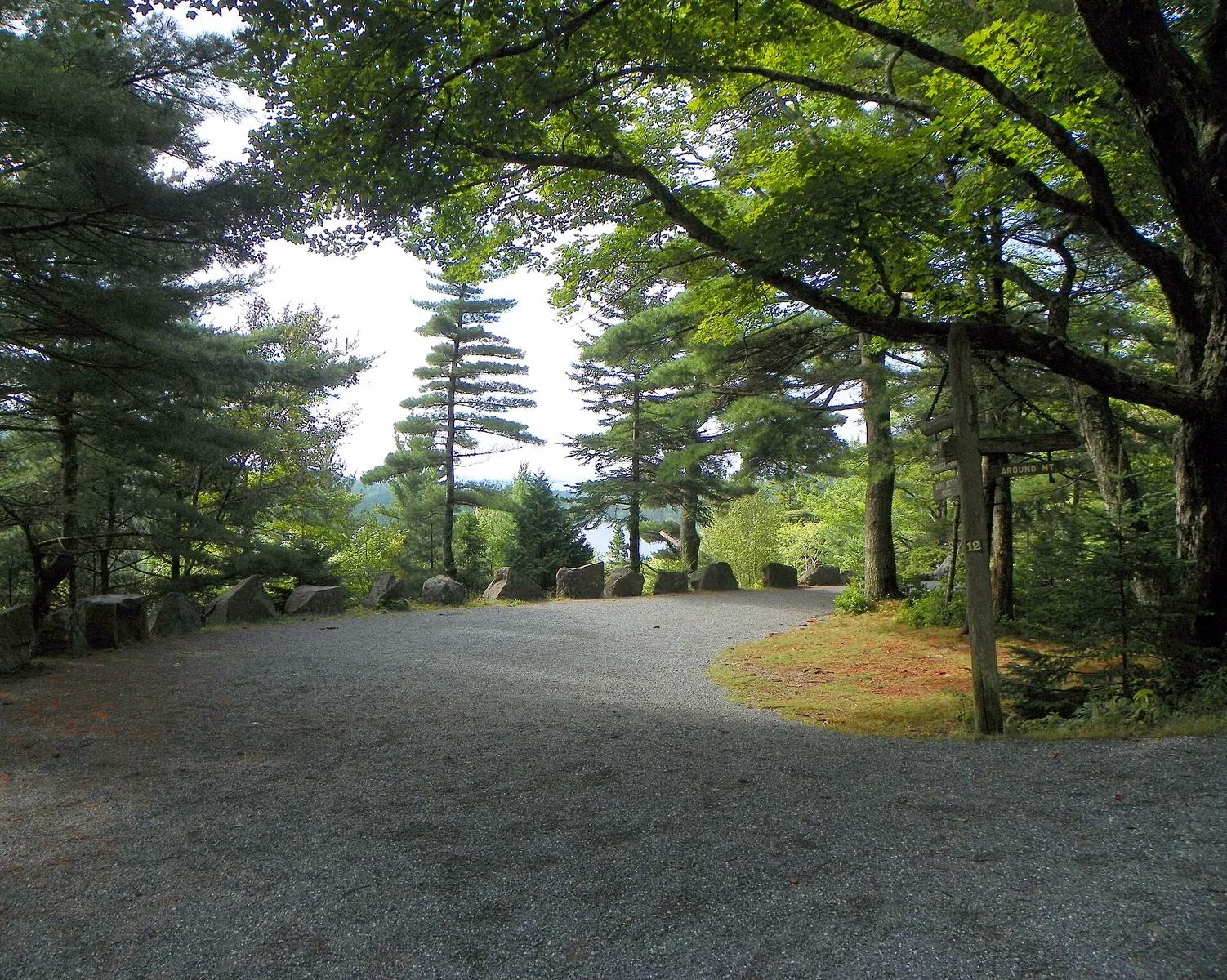 Hiking trail3.2 mi away
Acadia National Park · New England & Adirondacks
Acadia Carriage Roads Cycling
A 45-mile car-free gravel network commissioned by John D. Rockefeller Jr., weaving over 16 handcrafted stone bridges.
CyclingWalk & HikeCamp & Picnic