Rialto Beach Hole-in-the-Wall
- Primary distance
- 3.4 mi · 5.4 km
- Elevation gain
- 49 ft · 15 m
- Est. moving time
- 1 hr 10 min
- Best season
- May–Oct (Peak Trail Window)
- Dogs
- Not permitted
The spot
Hike along cobblestone beaches past pounding surf to an ocean-carved natural sea arch exposed only at low tide.
Sun & golden hour today
Share your visit
Been here? Post it with a card that shows where it is and what it takes to get there.
- 1
- 2
Paste the caption
Rialto Beach Hole-in-the-Wall · Olympic National Park, Washington
3.4 mi · 49 ft climb
Where it is & how to get there: hikespot.com/spots/us-rialto-beach-hole-in-wall
#rialtobeachholeinthewall #olympicnationalpark #washington #beachday #hikespot
- 3
Add the location tag Rialto Beach Hole-in-the-Wall so people can find it
Leading a Meetup or group hike here?
Copy a ready-to-post Meetup.com event briefing with exact trailhead pin links, distance, elevation gain, dog policy, and live route map.
What you can do here & routes
Beach day
Wild coastal wilderness hiking
Basis: National Park Service
arch
Natural sea-carved arch and sea stacks
Basis: National Park Service
coastal walk
Basis: OpenStreetMap / land-manager record
Picnic
Basis: Coastal day-use beach & picnic access
Connected trails & routes (2)
- moderate
Walk & Hike
Rialto Beach to Hole-in-the-Wall
- Distance
- 3.4 mi
- Elevation gain
- 49 ft
- Est. moving
- 1 hr 10 min
- Surface
- sand_gravel_and_cobbles
- Trailhead / Start
- Rialto Beach Hole-in-the-Wall Trailhead
Route source: National Park Service · ODbL-1.0
- easy
Views & Nature
Rialto Beach Hole-in-the-Wall Headland & Tidepool Walk
- Distance
- 1.6 mi
- Elevation gain
- 98 ft
- Est. moving
- 35 min
- Surface
- natural trail
- Trailhead / Start
- Rialto Beach Hole-in-the-Wall Day-Use Trailhead
Route source: OpenStreetMap / Public Park Trail Guide · ODbL-1.0 · Source record
Practical details & access
Sourced from OpenStreetMap and public land-manager records. Unverified fields are marked honestly rather than guessed.
- Park / Land manager
- Olympic National Park
- Typical time & effort
- 1–3 hours · moderate effort
- Parking & entrances
- Rialto Beach trailhead lot
- Fees & permits
- Olympic NP entry pass.
- Dogs policy
- Not permitted
- Facilities & amenities
- Restrooms: Available · Water: Available · Lighting: Daylight only
- Elevation
- 10 ft (3 m)
- Coordinates
- 47.9358° N, 124.6461° W
Recommended gear & preparation
- Tide table (must hike at low tide)
- Trekking pole
Location & access map
Drag to pan. Double-click, pinch or scroll to zoom. Keyboard: arrow keys and +/−. Cards below remain available.
Loading map… Browse the spot cards below at any time.
Geography source: OpenStreetMap (us:rialto-beach-hole-in-wall) · CC BY-SA 4.0. Coordinates mark the mapped feature; always follow signed public entrances and trailheads.
Right now
Checking official sources…
Official readings, shown with their own timestamps. Conditions in the mountains change faster than any feed — treat these as a briefing, not a guarantee.
Safety & access notice
Absence of an alert is not a guarantee that a place is open or safe. Always verify seasonal road closures, fire restrictions, surf/water hazards and local rules before heading out.
Continue the outing
Nearby outdoor places & things to do
 Beach18.8 mi away
Olympic National Park · Pacific Northwest
Ruby Beach
A rugged Pacific wilderness coastline scattered with colossal driftwood logs, tidal sea stacks, and reddish garnet sand.
Surf & BeachesViews & NatureWalk & Hike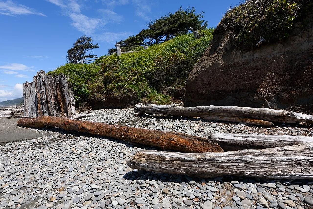 Campsite25.7 mi away
Olympic National Park · Olympic Peninsula
Kalaloch Ocean Bluff Campground & Driftwood Beach
Coastal sandstone bluff campsites perched above pounding Pacific surf, giant Sitka spruce driftwood, and the Tree of Life root cave.
Camp & PicnicWalk & Hike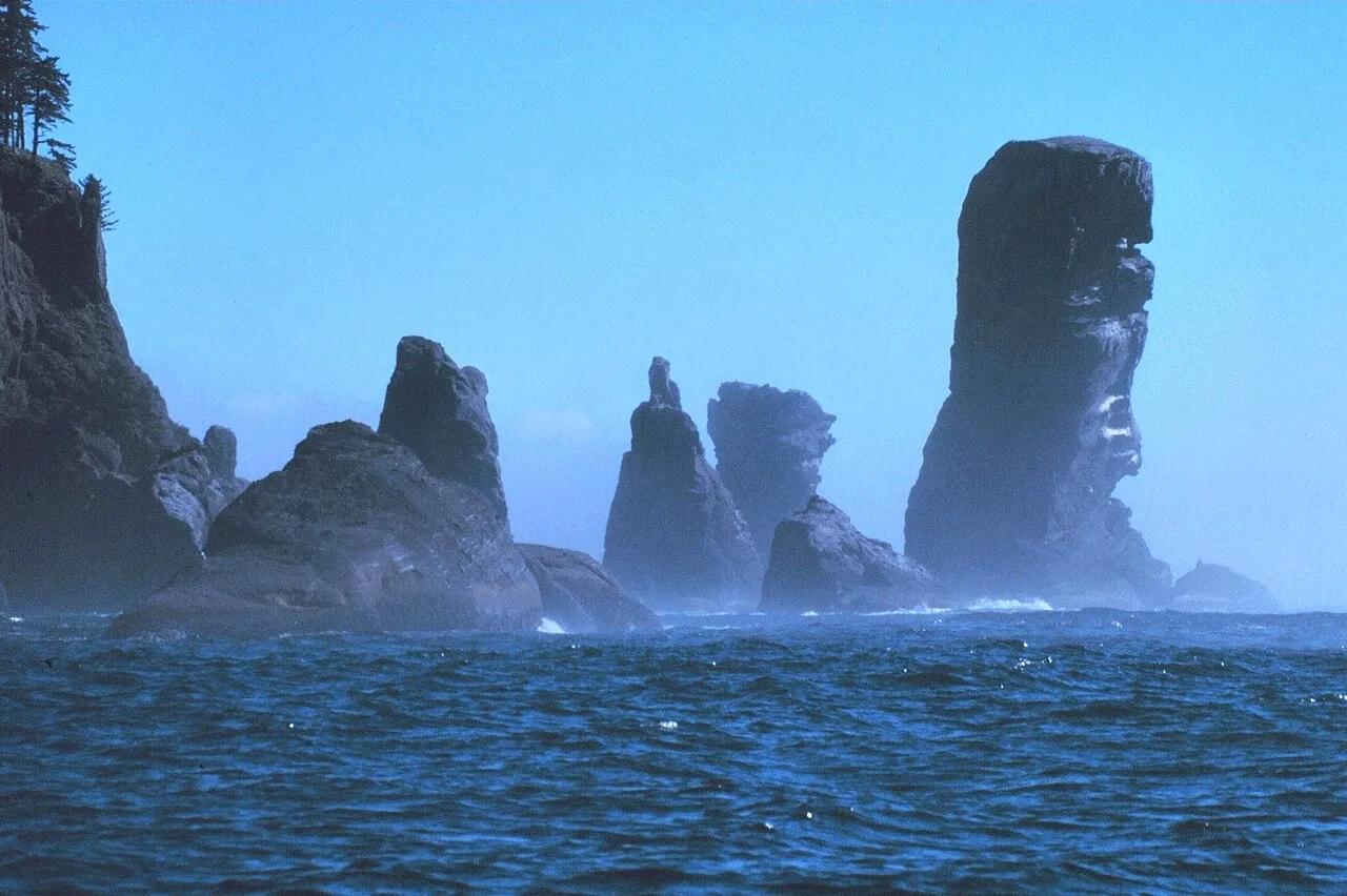 Viewpoint31.1 mi away
Makah Reservation · Pacific Northwest
Cape Flattery Trail (Northwesternmost Contiguous US)
Cedar boardwalk through Sitka spruce rainforest to sea caves and Tatoosh Island at the entrance to the Strait of Juan de Fuca.
Walk & HikeViews & Nature Hiking trail33.4 mi away
Olympic National Park · Pacific Northwest
Hoh Rain Forest Hall of Mosses
An enchanting primordial temperate rainforest trail winding beneath massive Sitka spruces draped in curtains of club moss.
Walk & HikeViews & NatureCamp & Picnic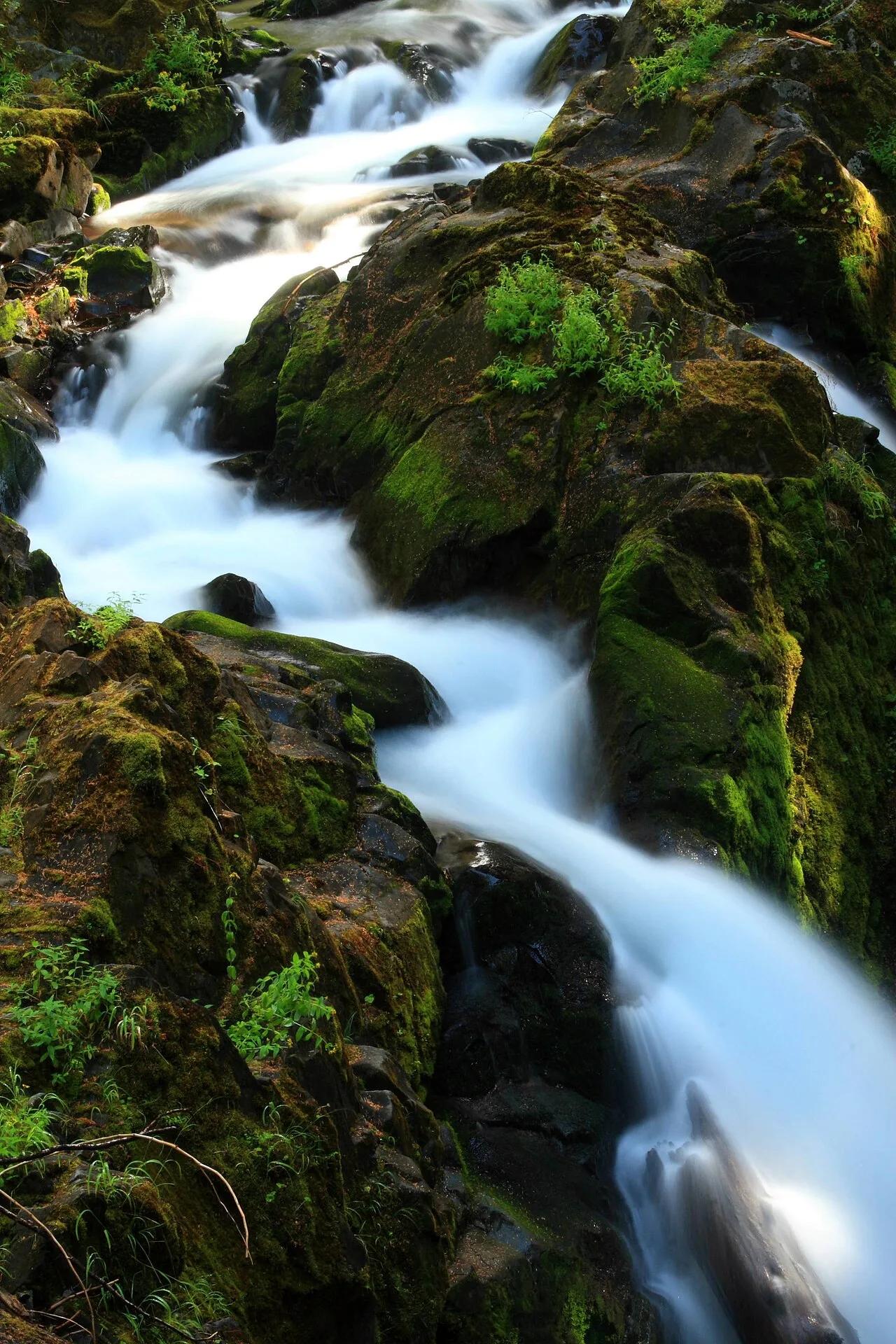 Waterfall38.6 mi away
Olympic National Park · Olympic Peninsula
Sol Duc Falls
Three-pronged waterfall cascading 48 feet into a narrow mossy canyon beneath ancient temperate rainforest canopy.
Views & NatureWalk & HikeCamp & Picnic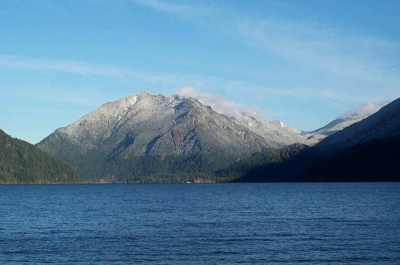 Summit41.0 mi away
Olympic National Park · Olympic Peninsula
Mount Storm King & Lake Crescent
Razor-thin spine trail with rope-assisted scrambles looking out over sapphire-blue Lake Crescent and the Strait of Juan de Fuca.
Walk & HikeViews & NatureCamp & Picnic