Sylvan Lake & Cathedral Spires
- Primary distance
- 3.5 mi · 5.6 km
- Elevation gain
- 705 ft · 215 m
- Est. moving time
- 1 hr 30 min
- Best season
- May–Oct (Peak Trail Window)
- Dogs
- Allowed on leash
The spot
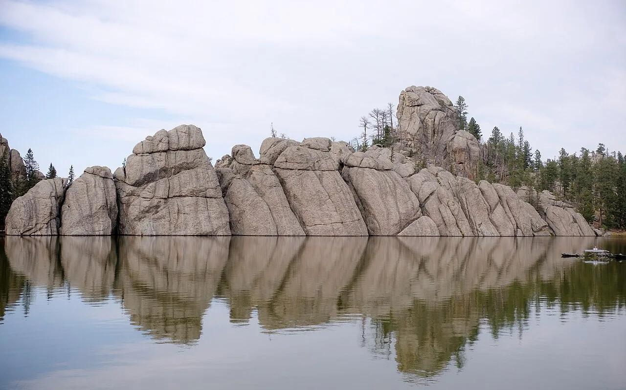
High mountain lake wedged between towering Harney Peak granite boulders at the trailhead for the Cathedral Spires and Black Elk Peak.
Sun & golden hour today
Share your visit
Been here? Post it with a card that shows where it is and what it takes to get there.
- 1
- 2
Paste the caption
Sylvan Lake & Cathedral Spires · Custer State Park, South Dakota
3.5 mi · 705 ft climb
Where it is & how to get there: hikespot.com/spots/us3-custer-sylvan-lake-needles-sd
#sylvanlakecathedralspires #custerstatepark #southdakota #hiking #hikespot
- 3
Add the location tag Sylvan Lake & Cathedral Spires so people can find it
Leading a Meetup or group hike here?
Copy a ready-to-post Meetup.com event briefing with exact trailhead pin links, distance, elevation gain, dog policy, and live route map.
What you can do here & routes
Hiking
Basis: Custer State Park official recreation records & OpenStreetMap
Kayak & SUP
Basis: OpenStreetMap / land-manager record
Nature walk
Basis: OpenStreetMap / land-manager record
Picnic
Basis: Lakeshore day-use & picnic access
Connected trails & routes (2)
- moderate
Walk & Hike
Sylvan Lake Shore & Cathedral Spires Trail
- Distance
- 3.5 mi
- Elevation gain
- 705 ft
- Est. moving
- 1 hr 30 min
- Surface
- natural trail
- Trailhead / Start
- Custer State Park
Route source: OpenStreetMap contributors · ODbL-1.0
- easy
Walk & Hike
Sylvan Lake & Cathedral Spires Lakeshore & Picnic Trail
- Distance
- 2.1 mi
- Elevation gain
- 115 ft
- Est. moving
- 45 min
- Surface
- natural trail
- Trailhead / Start
- Sylvan Lake & Cathedral Spires Day-Use Trailhead
Route source: OpenStreetMap / Public Park Trail Guide · ODbL-1.0 · Source record
Practical details & access
Sourced from OpenStreetMap and public land-manager records. Unverified fields are marked honestly rather than guessed.
- Park / Land manager
- Custer State Park
- Typical time & effort
- 1–3 hours · moderate effort
- Parking & entrances
- Designated visitor parking at Custer State Park
- Fees & permits
- Custer State Park entrance license ($20)
- Dogs policy
- Allowed on leash
- Facilities & amenities
- Restrooms: Available · Water: Unknown
- Elevation
- 6,234 ft (1900 m)
- Coordinates
- 43.8456° N, 103.5625° W
Recommended gear & preparation
- Bring a USCG-approved personal flotation device (PFD), dry bag, and quick-dry layers for water access.
- High-elevation outing (6,234 ft): pack a windproof shell and insulating layer for rapid alpine weather shifts.
- Dogs are permitted on a 6-foot leash; pack extra water and waste bags for pets.
Location & access map
Drag to pan. Double-click, pinch or scroll to zoom. Keyboard: arrow keys and +/−. Cards below remain available.
Loading map… Browse the spot cards below at any time.
Geography source: OpenStreetMap (w3:us3-custer-sylvan-lake-needles-sd) · CC BY 2.0. Coordinates mark the mapped feature; always follow signed public entrances and trailheads.
Right now
Checking official sources…
Official readings, shown with their own timestamps. Conditions in the mountains change faster than any feed — treat these as a briefing, not a guarantee.
Safety & access notice
Absence of an alert is not a guarantee that a place is open or safe. Always verify seasonal road closures, fire restrictions, surf/water hazards and local rules before heading out.
Continue the outing
Nearby outdoor places & things to do
 Canyon1.3 mi away
Custer State Park · Black Hills
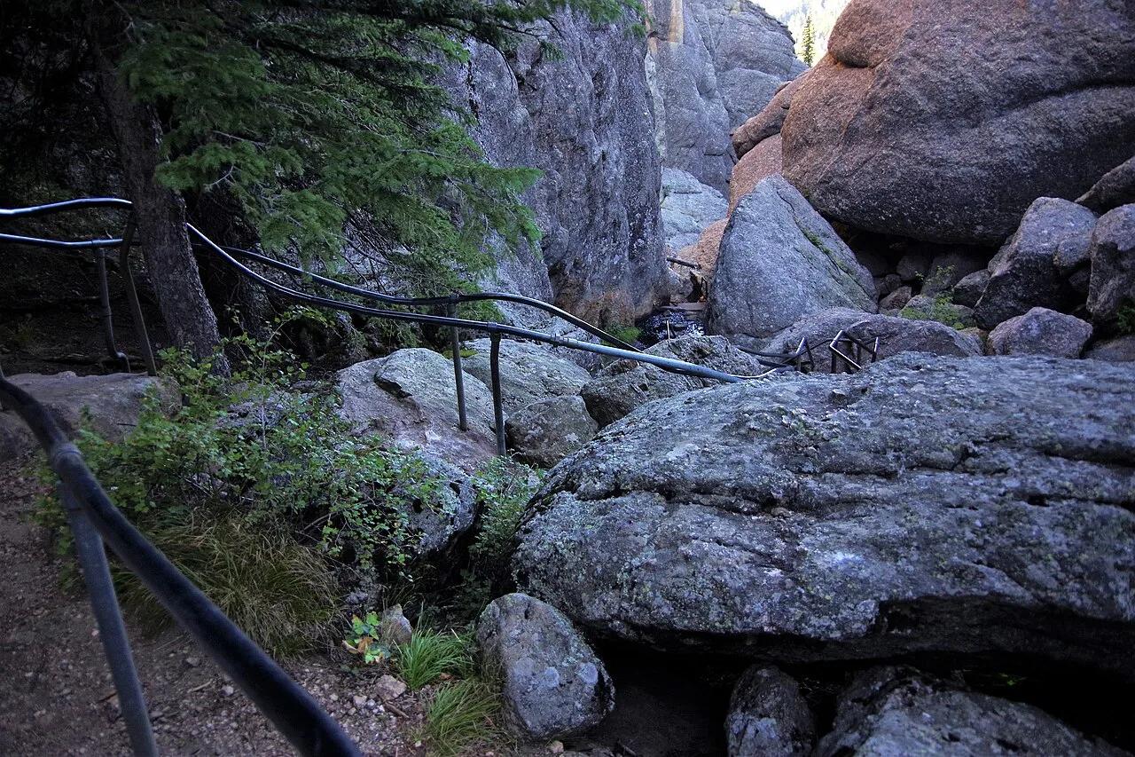
Sunday Gulch Trail Granite Boulder Chasm
Thrilling loop trail descending deep into a shaded granite boulder gulch behind Sylvan Lake with handrails, cascading creek pools, and mossy spruce forest.
Walk & HikeViews & NatureCamp & Picnic Summit1.5 mi away
Custer State Park / Norbeck Wildlife Preserve · Black Hills
Little Devils Tower & Needles Eye Ridge
A granite spire summit scramble navigating a narrow rock cleft to look directly across at the iconic granite pinnacles of the Cathedral Spires and Black Elk Peak.
Walk & HikeViews & NatureCamp & Picnic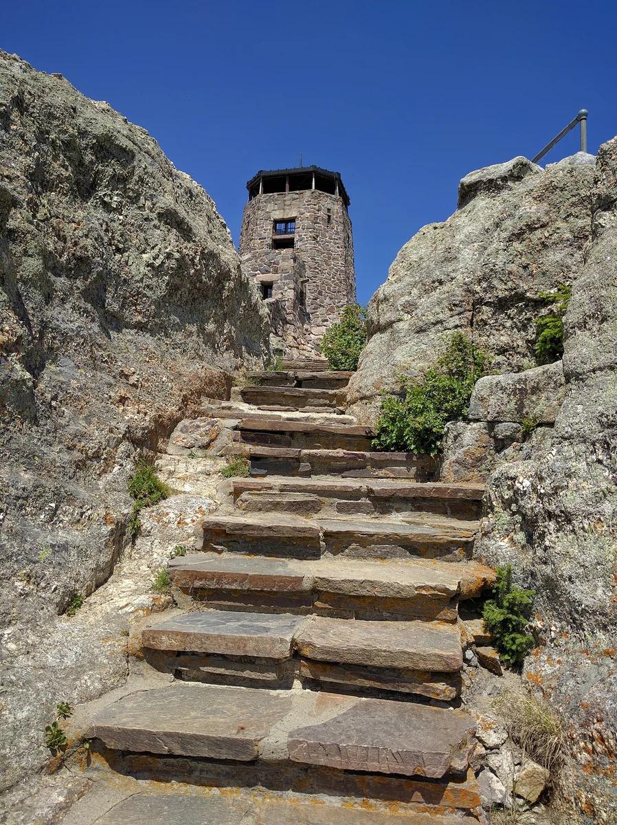 Peak2.1 mi away
Black Elk Wilderness · Midwest & Great Lakes
Black Elk Peak Trail
The highest summit in South Dakota and east of the Rockies (7,242 ft), crowned with a historic stone fire tower.
Walk & HikeViews & Nature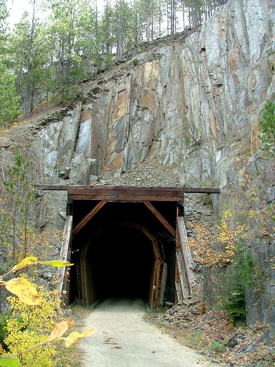 Bike route6.6 mi away
George S. Mickelson Trail (Black Hills NF) · Black Hills
George S. Mickelson Trail Crazy Horse to Mystic
Hall of Fame 109-mile rail-trail through the heart of the Black Hills, crossing over 100 converted railroad trestles and four hard-rock tunnels.
CyclingViews & Nature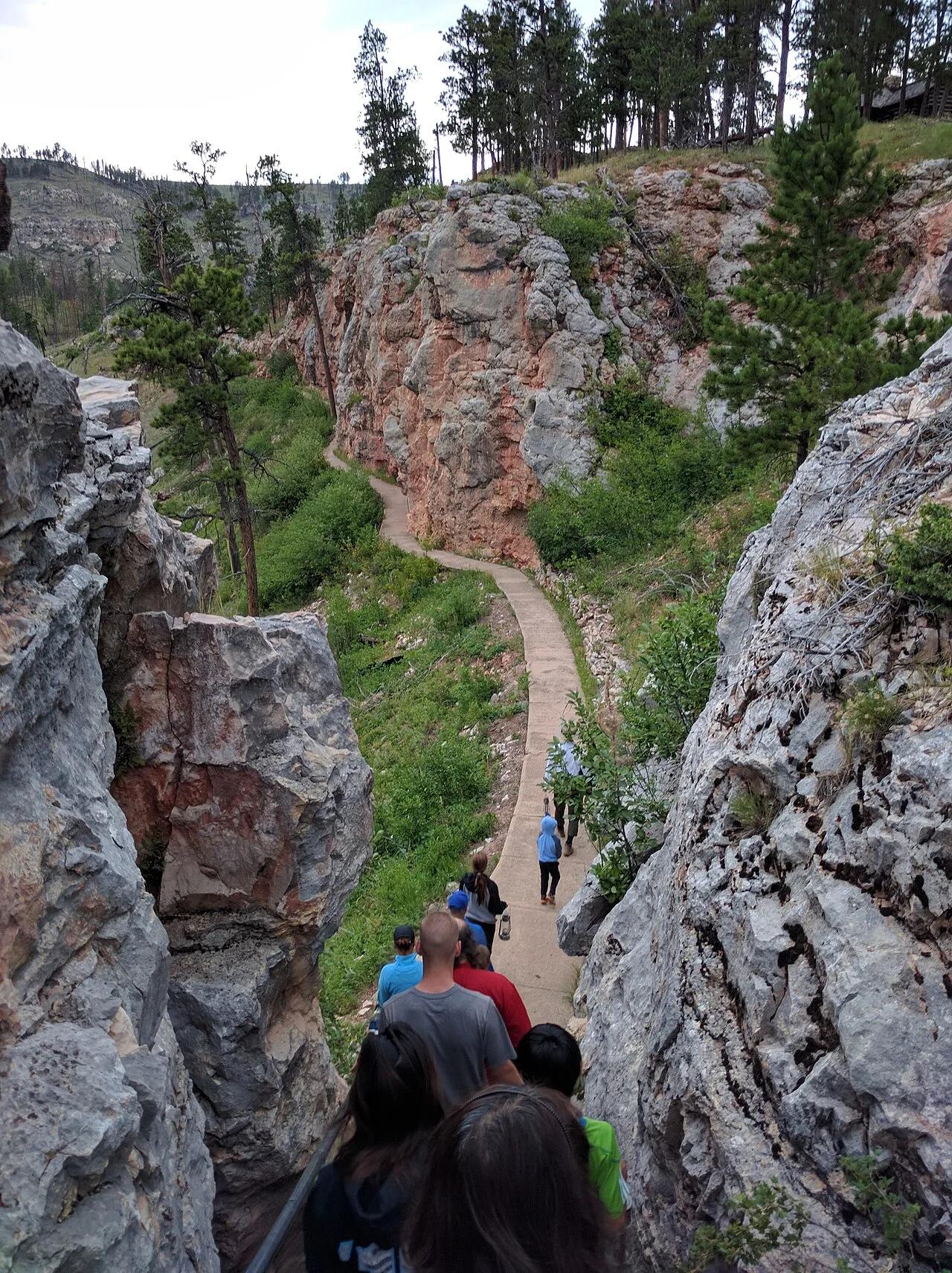 Viewpoint15.5 mi away
Jewel Cave National Monument (Custer) · Black Hills
Jewel Cave Historic Lantern Tour & Roof Trail
The world's third longest cave system with over 215 surveyed miles of calcite spar crystals, framed above ground by Ponderosa pine canyon trails.
Views & NatureWalk & Hike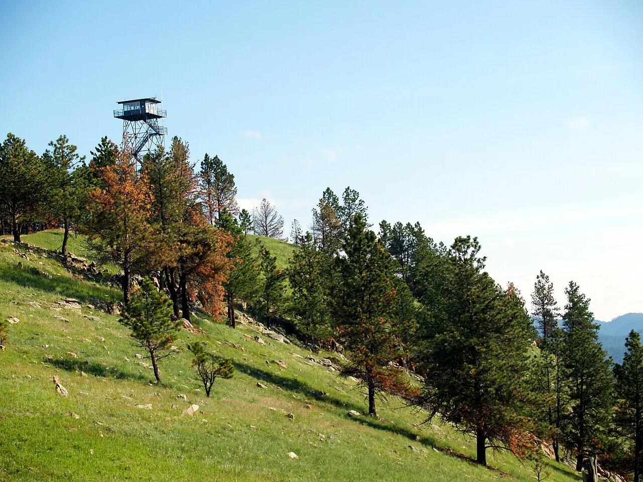 Summit17.6 mi away
Wind Cave National Park · Southern Black Hills
Wind Cave Rankin Ridge Fire Tower Trail
The highest point in Wind Cave National Park (5,013 feet), crowned by a historic fire lookout tower with panoramic vistas across the mixed-grass prairie and bison range.
Walk & HikeViews & NatureCamp & Picnic