Clifty Falls Four-Waterfall Gorge
- Primary distance
- 4.2 mi · 6.8 km
- Elevation gain
- 541 ft · 165 m
- Est. moving time
- 1 hr 40 min
- Best season
- Apr–Nov (Year-round mild)
- Dogs
- Allowed on leash
The spot
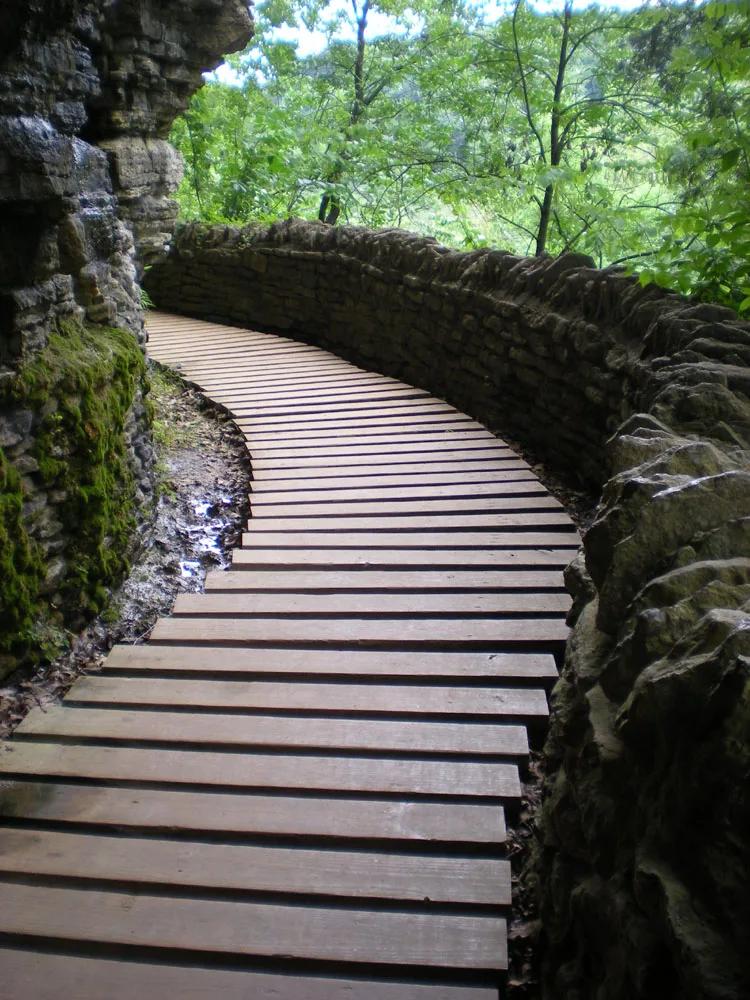
Ordovician fossil shale canyon above the Ohio River featuring Big Clifty, Little Clifty, Hoffmann, and Tunnel Falls.
Sun & golden hour today
Share your visit
Been here? Post it with a card that shows where it is and what it takes to get there.
- 1
- 2
Paste the caption
Clifty Falls Four-Waterfall Gorge · Clifty Falls State Park (Madison), Indiana
4.2 mi · 541 ft climb
Where it is & how to get there: hikespot.com/spots/us4-clifty-falls-canyon-in
#cliftyfallsfourwaterfallgorge #cliftyfallsstateparkmadison #indiana #hiking #hikespot
- 3
Add the location tag Clifty Falls Four-Waterfall Gorge so people can find it
Leading a Meetup or group hike here?
Copy a ready-to-post Meetup.com event briefing with exact trailhead pin links, distance, elevation gain, dog policy, and live route map.
What you can do here & routes
Hiking
Basis: Clifty Falls State Park (Madison) official recreation records & OpenStreetMap
Scenic view
Basis: OpenStreetMap / land-manager record
Camping
Basis: Designated campgrounds and day-use picnic areas within Clifty Falls State Park (Madison)
Connected trails & routes (2)
- hard
Walk & Hike
Clifty Creek Canyon Trail (Trails 2, 4 & 7)
- Distance
- 4.2 mi
- Elevation gain
- 541 ft
- Est. moving
- 1 hr 40 min
- Surface
- natural trail
- Trailhead / Start
- Clifty Falls State Park (Madison)
Route source: OpenStreetMap contributors · ODbL-1.0
- easy
Views & Nature
Clifty Falls Four-Waterfall Gorge Lower Overlook & Nature Walk
- Distance
- 1.6 mi
- Elevation gain
- 131 ft
- Est. moving
- 35 min
- Surface
- natural trail
- Trailhead / Start
- Clifty Falls Four-Waterfall Gorge Day-Use Trailhead
Route source: OpenStreetMap / Public Park Trail Guide · ODbL-1.0 · Source record
Practical details & access
Sourced from OpenStreetMap and public land-manager records. Unverified fields are marked honestly rather than guessed.
- Park / Land manager
- Clifty Falls State Park (Madison)
- Typical time & effort
- 1–3 hours · hard effort
- Parking & entrances
- Designated visitor parking at Clifty Falls State Park (Madison)
- Fees & permits
- State Park gate fee ($7)
- Dogs policy
- Allowed on leash
- Facilities & amenities
- Restrooms: Available · Water: Unknown
- Elevation
- 787 ft (240 m)
- Coordinates
- 38.7556° N, 85.4214° W
Recommended gear & preparation
- Wear grippy trail footwear and carry at least 1–2 liters of water per person along with sun protection.
- Download offline trail maps ahead of arrival, as cell coverage can drop inside canyons and forested basins.
- Dogs are permitted on a 6-foot leash; pack extra water and waste bags for pets.
Location & access map
Drag to pan. Double-click, pinch or scroll to zoom. Keyboard: arrow keys and +/−. Cards below remain available.
Loading map… Browse the spot cards below at any time.
Geography source: OpenStreetMap (w4:us4-clifty-falls-canyon-in) · CC BY 4.0. Coordinates mark the mapped feature; always follow signed public entrances and trailheads.
Right now
Checking official sources…
Official readings, shown with their own timestamps. Conditions in the mountains change faster than any feed — treat these as a briefing, not a guarantee.
Safety & access notice
Absence of an alert is not a guarantee that a place is open or safe. Always verify seasonal road closures, fire restrictions, surf/water hazards and local rules before heading out.
Continue the outing
Nearby outdoor places & things to do
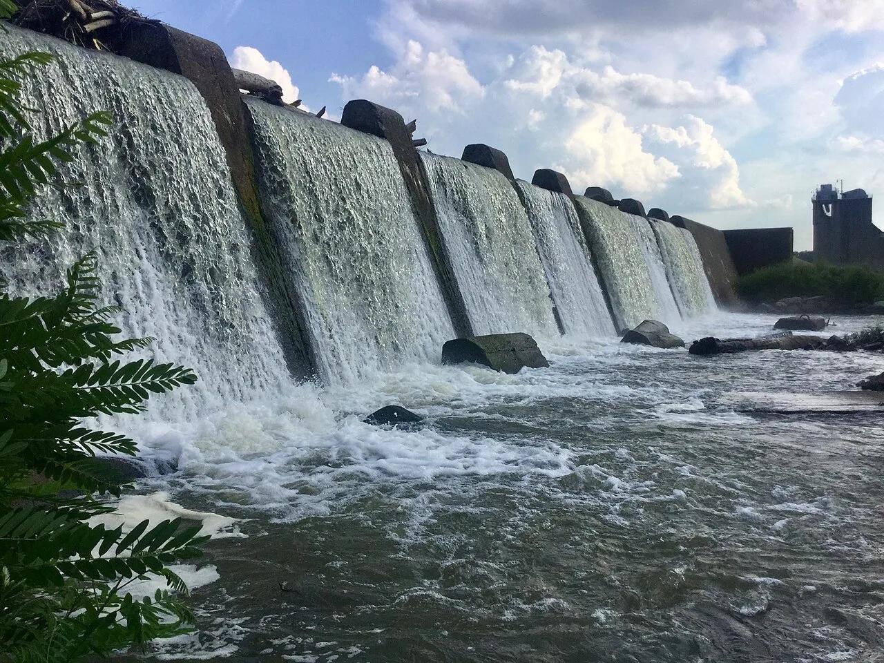 Viewpoint37.9 mi away
Falls of the Ohio State Park · Ohio River / Clarksville
Falls of the Ohio Devonian Fossil Beds
One of the world's largest naturally exposed 390-million-year-old Devonian fossil coral beds, accessible directly on foot across Ohio River limestone ledges.
Views & NatureWalk & HikeCamp & Picnic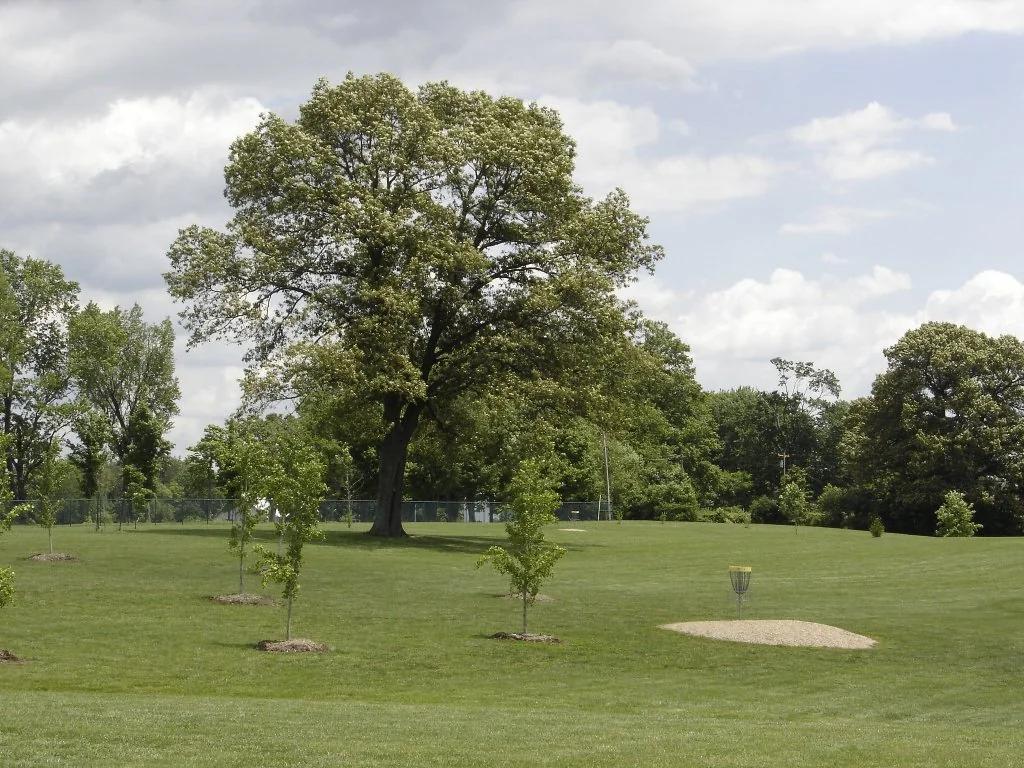 Disc golf course42.6 mi away
Idlewild Park · Midwest & Great Lakes
Idlewild Disc Golf Course
One of the most revered and unforgiving courses on the Disc Golf Pro Tour, demanding precision through tight woods and water hazards.
Outdoor Play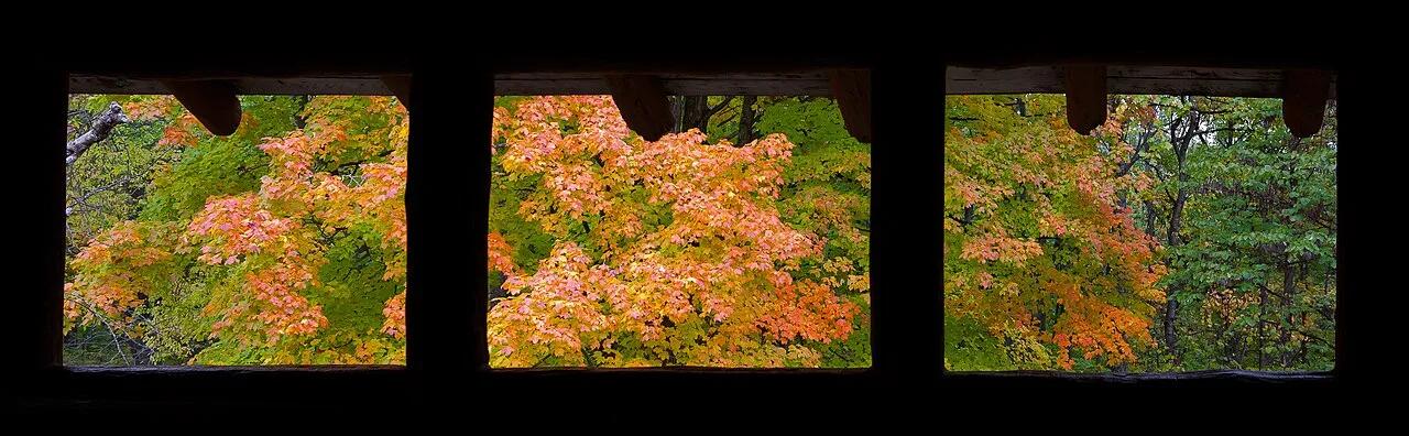 Viewpoint52.1 mi away
Brown County State Park · Brown County
Brown County Hesitation Point & Ogle Lake Loop
The 'Little Smokies' of Indiana, offering premier Midwest mountain bike singletrack and sweeping vistas across forested ridges from Hesitation Point.
CyclingViews & NatureWalk & Hike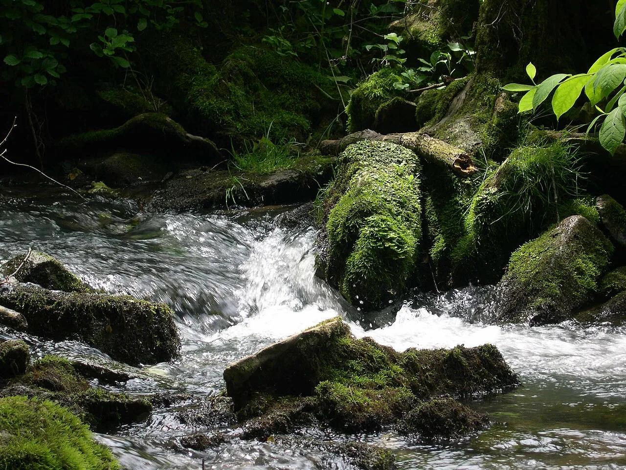 Canyon53.6 mi away
Spring Mill State Park (Mitchell) · Midwest & Great Lakes
Donaldson Cave Stream & Twin Caves Karst Trail
Subterranean karst stream rushing out of the monumental limestone mouth of Donaldson Cave through virgin old-growth white oak forest.
Walk & HikeViews & NatureCamp & Picnic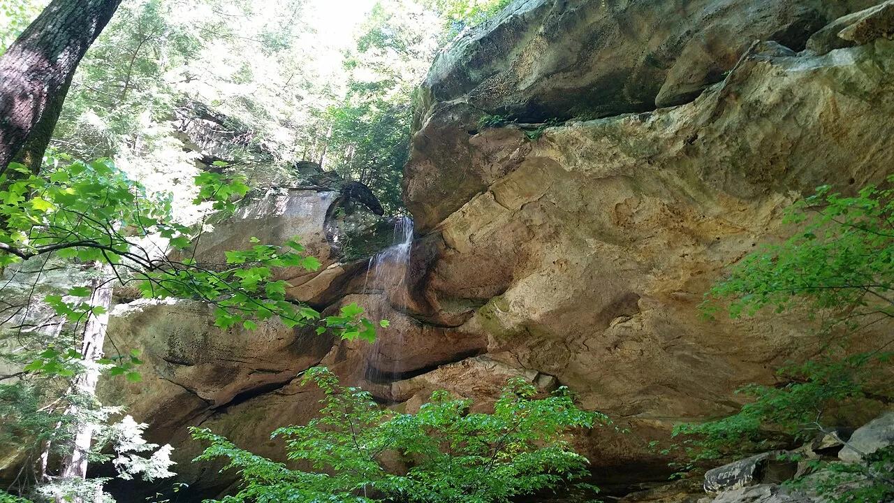 Canyon68.7 mi away
Hoosier National Forest (English) · Hoosier Hills
Hemlock Cliffs Sandstone Box Canyon
Cool, moist box canyon sheltering relict hemlocks, sandstone rock shelters, honeycombed cliff faces, and seasonal cascading waterfalls.
Walk & HikeViews & NatureCamp & Picnic