Lynch Family Skatepark
- Primary distance
- 0.1 mi · 0.2 km
- Elevation gain
- 0 ft · 0 m
- Est. moving time
- 15 min
- Best season
- Apr–Nov (Year-round mild)
- Dogs
- Not permitted
The spot
A premier 40,000-square-foot street plaza and deep bowl skatepark nestled beneath the monumental Zakim Bunker Hill Bridge ramps.

Sun & golden hour today
Share your visit
Been here? Post it with a card that shows where it is and what it takes to get there.
- 1
- 2
Paste the caption
Lynch Family Skatepark · Charles River Basin / North Point Park, Massachusetts
0.1 mi
Where it is & how to get there: hikespot.com/spots/us5-lynch-skatepark-charles-river-ma
#lynchfamilyskatepark #massachusetts #skatepark #hikespot
- 3
Add the location tag Lynch Family Skatepark so people can find it
Leading a Meetup or group hike here?
Copy a ready-to-post Meetup.com event briefing with exact trailhead pin links, distance, elevation gain, dog policy, and live route map.
What you can do here & routes
Skatepark
Basis: Charles River Basin / North Point Park official recreation records & OpenStreetMap
Connected trails & routes (1)
- moderate
Walk & Hike
Lynch Skatepark Plaza & Bowls
- Distance
- 0.1 mi
- Est. moving
- 15 min
- Surface
- natural trail
- Trailhead / Start
- Charles River Basin / North Point Park
Route source: OpenStreetMap contributors · ODbL-1.0
Practical details & access
Sourced from OpenStreetMap and public land-manager records. Unverified fields are marked honestly rather than guessed.
- Park / Land manager
- Charles River Basin / North Point Park
- Typical time & effort
- Under 1 hour · moderate effort
- Parking & entrances
- Designated visitor parking at Charles River Basin / North Point Park
- Fees & permits
- Free public skatepark
- Dogs policy
- Not permitted
- Facilities & amenities
- Restrooms: Available · Water: Unknown
- Elevation
- 16 ft (5 m)
- Coordinates
- 42.3703° N, 71.0694° W
Recommended gear & preparation
- Helmet and pads recommended; concrete bowls and street transitions ride fastest in dry morning conditions.
- Download offline trail maps ahead of arrival, as cell coverage can drop inside canyons and forested basins.
- Pets are not permitted on this trail corridor to protect wildlife and fragile habitat.
Location & access map
Drag to pan. Double-click, pinch or scroll to zoom. Keyboard: arrow keys and +/−. Cards below remain available.
Loading map… Browse the spot cards below at any time.
Geography source: OpenStreetMap (w5:us5-lynch-skatepark-charles-river-ma) · CC BY-SA 4.0. Coordinates mark the mapped feature; always follow signed public entrances and trailheads.
Right now
Checking official sources…
Official readings, shown with their own timestamps. Conditions in the mountains change faster than any feed — treat these as a briefing, not a guarantee.
Safety & access notice
Absence of an alert is not a guarantee that a place is open or safe. Always verify seasonal road closures, fire restrictions, surf/water hazards and local rules before heading out.
Continue the outing
Nearby outdoor places & things to do
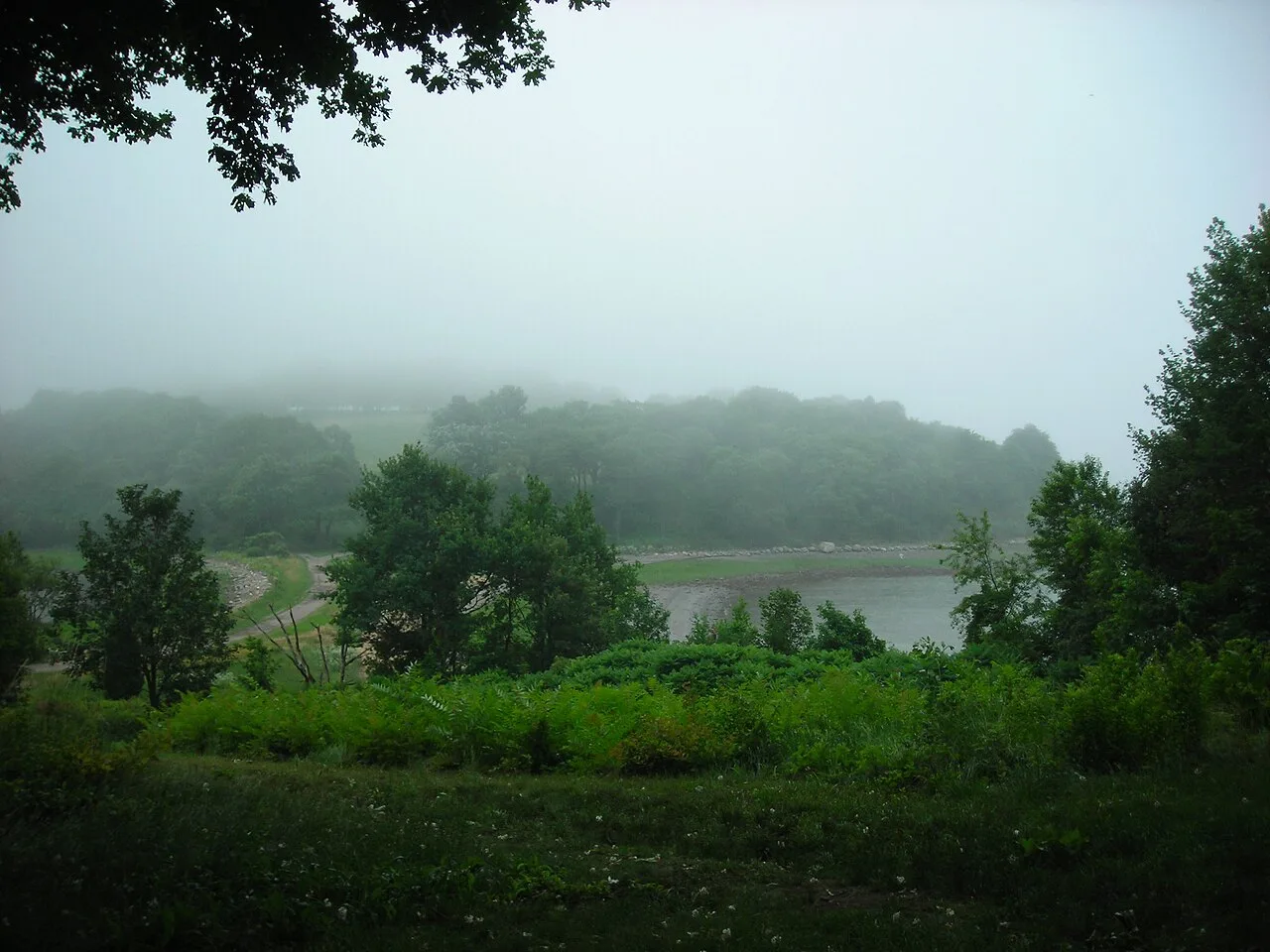 Hiking trail12.7 mi away
The Trustees of Reservations (World's End) · South Shore
World's End Peninsula & Boston Harbor Islands
Drumlin hills designed by Frederick Law Olmsted framed by tree-lined carriage roads and sweeping panoramas of the Boston skyline.
Walk & Hike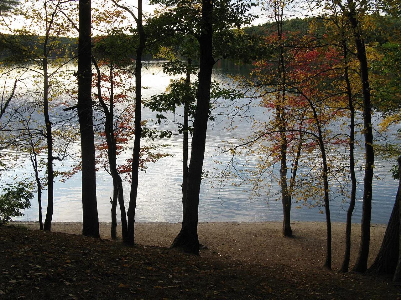 Lake14.6 mi away
Walden Pond State Reservation · Northeast & New England
Walden Pond Kettle Lake & Woods Path
Crystal-clear 102-foot-deep glacial kettle hole lake and open-water swimming beach encircled by Henry David Thoreau's woods.
Paddle, Swim & FishWalk & HikeCamp & Picnic Viewpoint31.6 mi away
Halibut Point State Park & Reservation · Cape Ann / North Shore
Halibut Point State Park & Babson Farm Quarry
A 60-foot water-filled granite quarry abuts open coastal ledges with expansive views to Mount Agamenticus in Maine.
Walk & HikeViews & NatureCamp & Picnic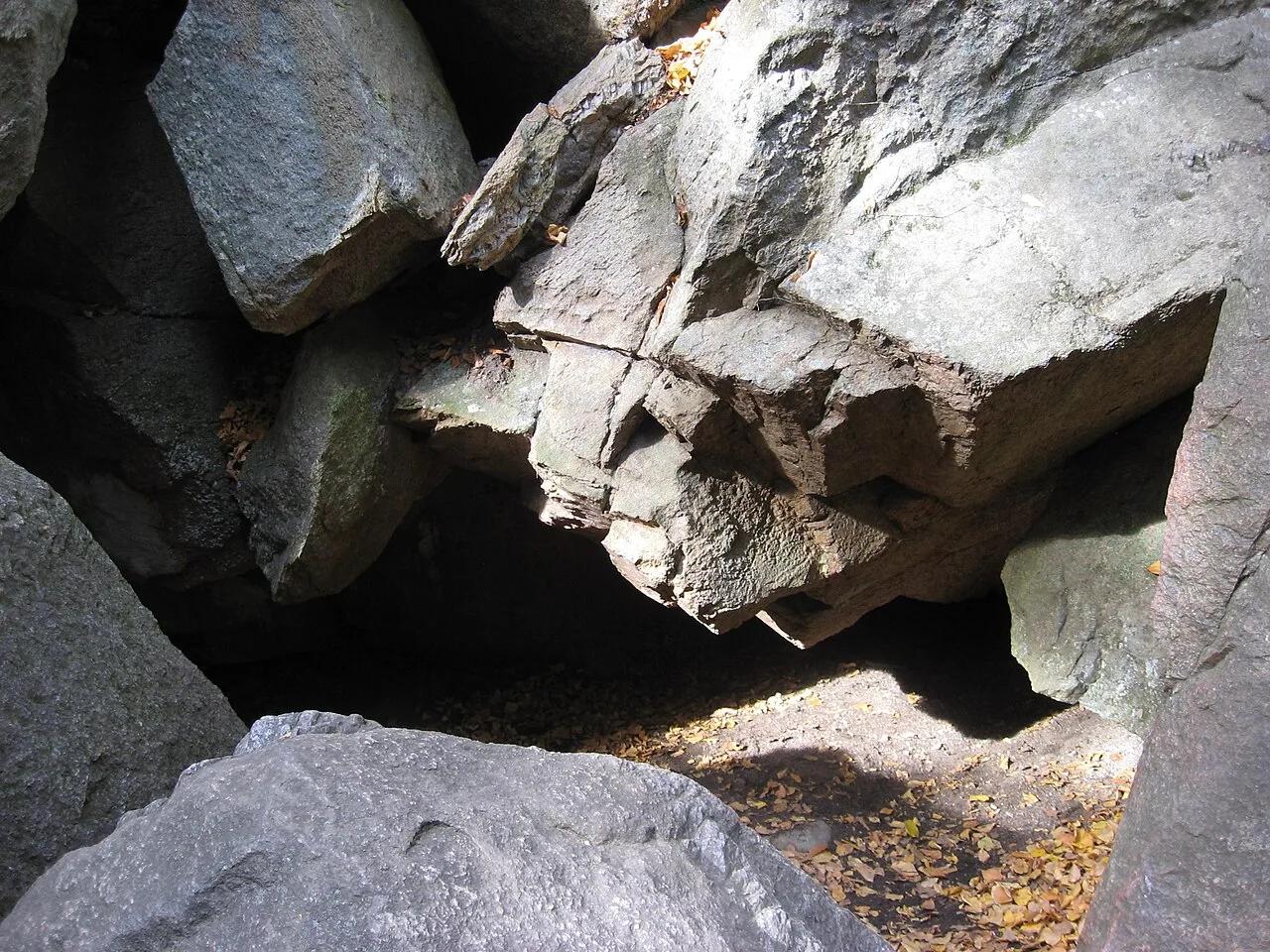 Canyon36.9 mi away
Purgatory Chasm State Reservation · Northeast & New England
Purgatory Chasm Granite Fissure
Quarter-mile glacial meltwater fissure sliced 70 feet deep through solid Milford granite, filled with Fat Man's Misery and The Corn Crib boulder caves.
Walk & HikeViews & Nature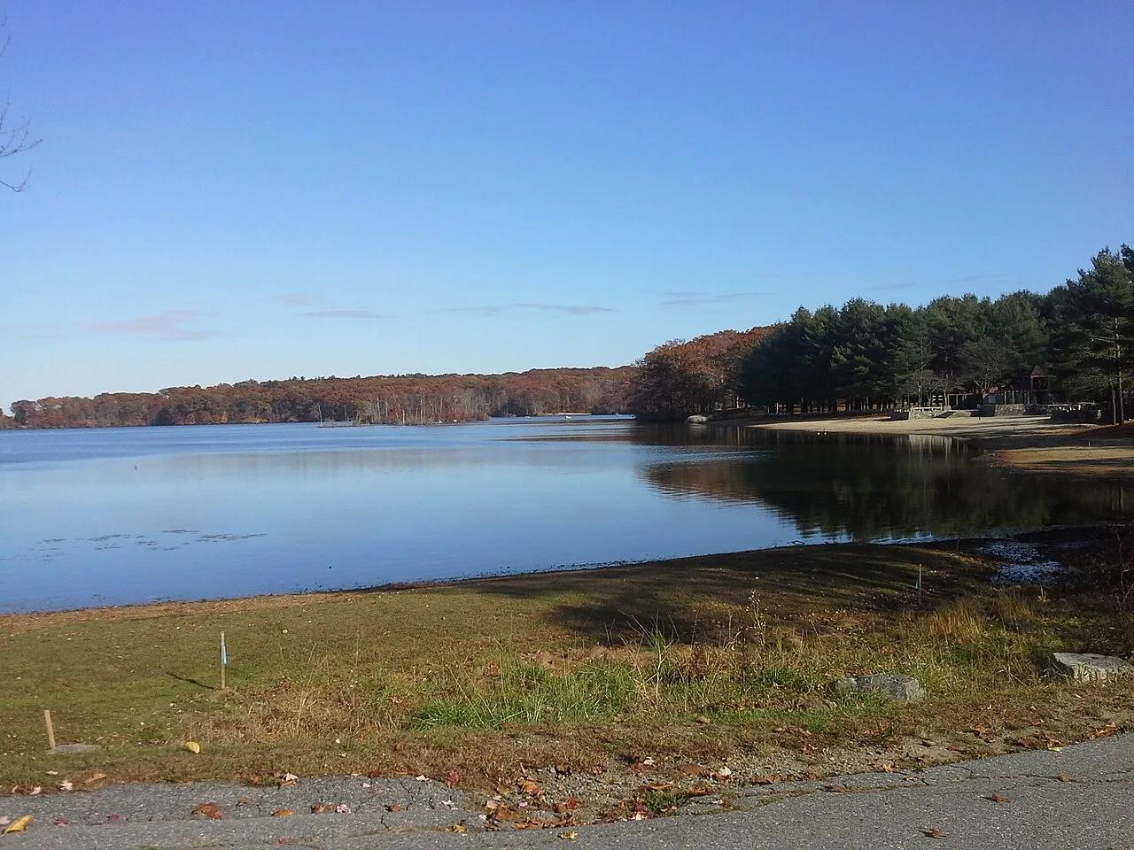 Lake37.7 mi away
Lincoln Woods State Park · Northeast & New England
Olney Pond Loop & Glacial Granite Boulders
Glacial kettle pond ringed by world-class granite bouldering erratics, stone bridges, and shaded bridle paths just north of Providence.
Walk & HikePaddle, Swim & FishCamp & Picnic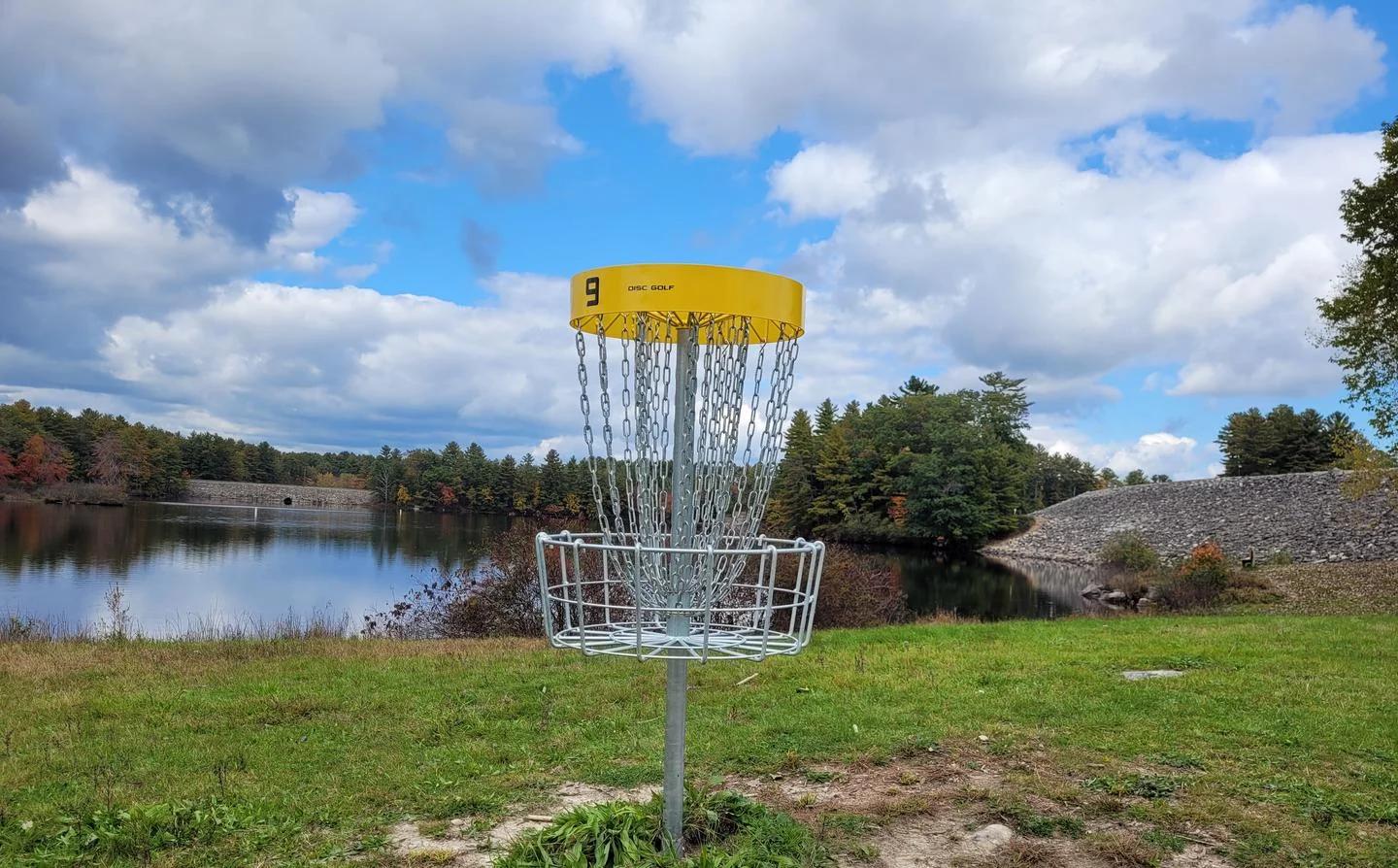 Disc golf course43.6 mi away
Maple Hill Disc Golf · New England & Adirondacks
Maple Hill Disc Golf Course
Widely recognized as the greatest disc golf course on planet earth, featuring historic water carries and Christmas tree fairways.
Outdoor Play