Fricke's Cave Sandstone Gulch & Bogue Chitto Tubing
- Primary distance
- 4.2 mi · 6.8 km
- Elevation gain
- 279 ft · 85 m
- Est. moving time
- 1 hr 35 min
- Best season
- Oct–Apr (Cooler Desert Season)
- Dogs
- Allowed on leash
The spot
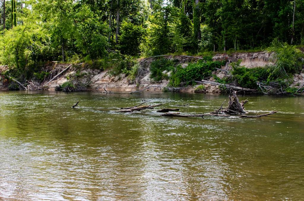
Eroded sandstone spires resembling miniature badlands tucked inside a bamboo and hardwood ravine beside the Bogue Chitto River.
Sun & golden hour today
Share your visit
Been here? Post it with a card that shows where it is and what it takes to get there.
- 1
- 2
Paste the caption
Fricke's Cave Sandstone Gulch & Bogue Chitto Tubing · Bogue Chitto State Park (Franklinton), Louisiana
4.2 mi · 279 ft climb
Where it is & how to get there: hikespot.com/spots/us6-bogue-chitto-fricke-cave-la
#louisiana #hiking #hikespot
- 3
Add the location tag Fricke's Cave Sandstone Gulch & Bogue Chitto Tubing so people can find it
Leading a Meetup or group hike here?
Copy a ready-to-post Meetup.com event briefing with exact trailhead pin links, distance, elevation gain, dog policy, and live route map.
What you can do here & routes
Hiking
Basis: Bogue Chitto State Park (Franklinton) official recreation records & OpenStreetMap
Scenic view
Basis: OpenStreetMap / land-manager record
Camping
Basis: Designated campgrounds and day-use picnic areas within Bogue Chitto State Park (Franklinton)
Connected trails & routes (2)
- moderate
Walk & Hike
Fricke's Cave Gorge & River Bluff Loop
- Distance
- 4.2 mi
- Elevation gain
- 279 ft
- Est. moving
- 1 hr 35 min
- Surface
- natural trail
- Trailhead / Start
- Bogue Chitto State Park (Franklinton)
Route source: OpenStreetMap contributors · ODbL-1.0
- easy
Views & Nature
Fricke's Cave Sandstone Gulch & Bogue Chitto Tubing Lower Overlook & Nature Walk
- Distance
- 1.6 mi
- Elevation gain
- 115 ft
- Est. moving
- 35 min
- Surface
- natural trail
- Trailhead / Start
- Fricke's Cave Sandstone Gulch & Bogue Chitto Tubing Day-Use Trailhead
Route source: OpenStreetMap / Public Park Trail Guide · ODbL-1.0 · Source record
Practical details & access
Sourced from OpenStreetMap and public land-manager records. Unverified fields are marked honestly rather than guessed.
- Park / Land manager
- Bogue Chitto State Park (Franklinton)
- Typical time & effort
- 1–3 hours · moderate effort
- Parking & entrances
- Designated visitor parking at Bogue Chitto State Park (Franklinton)
- Fees & permits
- $3 Louisiana State Park admission
- Dogs policy
- Allowed on leash
- Facilities & amenities
- Restrooms: Available · Water: Unknown
- Elevation
- 148 ft (45 m)
- Coordinates
- 30.7689° N, 90.1569° W
Recommended gear & preparation
- Wear grippy trail footwear and carry at least 1–2 liters of water per person along with sun protection.
- Download offline trail maps ahead of arrival, as cell coverage can drop inside canyons and forested basins.
- Dogs are permitted on a 6-foot leash; pack extra water and waste bags for pets.
Location & access map
Drag to pan. Double-click, pinch or scroll to zoom. Keyboard: arrow keys and +/−. Cards below remain available.
Loading map… Browse the spot cards below at any time.
Geography source: OpenStreetMap (w6:us6-bogue-chitto-fricke-cave-la) · CC BY-SA 2.0. Coordinates mark the mapped feature; always follow signed public entrances and trailheads.
Right now
Checking official sources…
Official readings, shown with their own timestamps. Conditions in the mountains change faster than any feed — treat these as a briefing, not a guarantee.
Safety & access notice
Absence of an alert is not a guarantee that a place is open or safe. Always verify seasonal road closures, fire restrictions, surf/water hazards and local rules before heading out.
Continue the outing
Nearby outdoor places & things to do
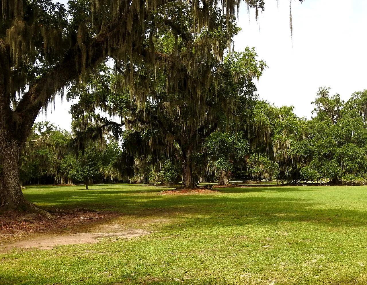 Bike route30.5 mi away
Fontainebleau State Park (Mandeville / Lake Pontchartrain) · Atlantic & Gulf Coasts
Fontainebleau Beach & Tammany Trace Rail-Trail
400-year-old live oak alleys, sandy Lake Pontchartrain beach, and marsh boardwalks connected to the 31-mile paved Tammany Trace bikeway.
CyclingViews & NatureCamp & Picnic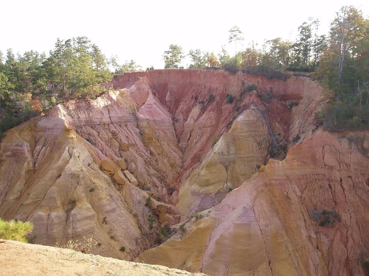 Canyon40.7 mi away
Marion County Wildlife Area · South & Gulf Coast
Red Bluff (Mississippi's Little Grand Canyon)
Vivid vermilion, ochre, and white clay cliffs dropping 200 feet toward the Pearl River valley.
Walk & HikeViews & Nature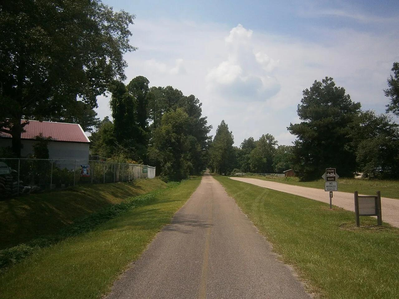 Bike route61.9 mi away
Hattiesburg to Prentiss Gateway · South & Gulf Coast
Longleaf Trace 44-Mile Paved Rail-Trail
44-mile paved rails-to-trails cycling highway slicing through rolling longleaf pine ridges, beaver ponds, and historic depot towns.
CyclingViews & Nature Hiking trail68.0 mi away
Jean Lafitte National Historical Park and Preserve · South & Gulf Coast
Barataria Preserve Bayou Boardwalk
Cypress-tupelo swamp boardwalks and bayou paddling trails teeming with alligators, ibis, and Spanish moss just south of New Orleans.
Views & NatureWalk & Hike