Windansea Beach
- Primary distance
- 2.4 mi · 3.8 km
- Elevation gain
- 82 ft · 25 m
- Est. moving time
- 50 min
- Best season
- Year-round (May–Oct warmest)
- Dogs
- Not permitted
The spot
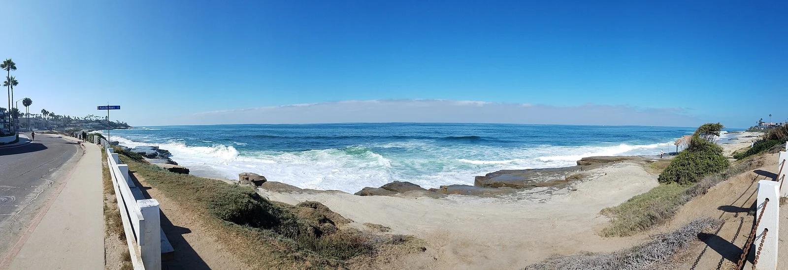
Historic La Jolla reef break distinguished by its 1946 palm-thatched surf shack, powerful shorebreak, and rugged sandstone sea shelves.
Sun & golden hour today
Share your visit
Been here? Post it with a card that shows where it is and what it takes to get there.
- 1
- 2
Paste the caption
Windansea Beach · Windansea Historic Park, California
2.4 mi · 82 ft climb
Where it is & how to get there: hikespot.com/spots/windansea-beach
#windanseabeach #windanseahistoricpark #california #beachday #hikespot
- 3
Add the location tag Windansea Beach so people can find it
Leading a Meetup or group hike here?
Copy a ready-to-post Meetup.com event briefing with exact trailhead pin links, distance, elevation gain, dog policy, and live route map.
What you can do here & routes
Surfing
Designated San Diego historical landmark with heavy reef break waves.
Basis: city_of_san_diego_historic_site
Beach day
Basis: OpenStreetMap / land-manager record
coastal walk
Basis: OpenStreetMap / land-manager record
Picnic
Basis: Coastal day-use beach & picnic access
Connected trails & routes (2)
- easy
Surf & Beaches
Windansea Beach Coastal Walk & Shoreline
- Distance
- 2.4 mi
- Elevation gain
- 82 ft
- Est. moving
- 50 min
- Surface
- natural trail
- Trailhead / Start
- Windansea Beach Trailhead
Route source: OpenStreetMap / Public Park Trail Guide · ODbL-1.0 · Source record
- easy
Views & Nature
Windansea Beach Headland & Tidepool Walk
- Distance
- 1.6 mi
- Elevation gain
- 98 ft
- Est. moving
- 35 min
- Surface
- natural trail
- Trailhead / Start
- Windansea Beach Day-Use Trailhead
Route source: OpenStreetMap / Public Park Trail Guide · ODbL-1.0 · Source record
Practical details & access
Sourced from OpenStreetMap and public land-manager records. Unverified fields are marked honestly rather than guessed.
- Park / Land manager
- Windansea Historic Park
- Typical time & effort
- 1–3 hours · hard effort
- Parking & entrances
- Street parking along Neptune Place
- Fees & permits
- Free public access
- Dogs policy
- Not permitted
- Facilities & amenities
- Restrooms: None on site · Water: Bring your own · Lighting: Daylight only
- Coordinates
- 32.8319° N, 117.2808° W
Recommended gear & preparation
- Shortboard
- Wetsuit
Location & access map
Drag to pan. Double-click, pinch or scroll to zoom. Keyboard: arrow keys and +/−. Cards below remain available.
Loading map… Browse the spot cards below at any time.
Geography source: OpenStreetMap (osm:node/9100000061) · ODbL-1.0 / CC. Coordinates mark the mapped feature; always follow signed public entrances and trailheads.
Right now
Checking official sources…
Official readings, shown with their own timestamps. Conditions in the mountains change faster than any feed — treat these as a briefing, not a guarantee.
Safety & access notice
Absence of an alert is not a guarantee that a place is open or safe. Always verify seasonal road closures, fire restrictions, surf/water hazards and local rules before heading out.
Continue the outing
Nearby outdoor places & things to do
 Beach2.5 mi away
San Diego Coast & Mountains
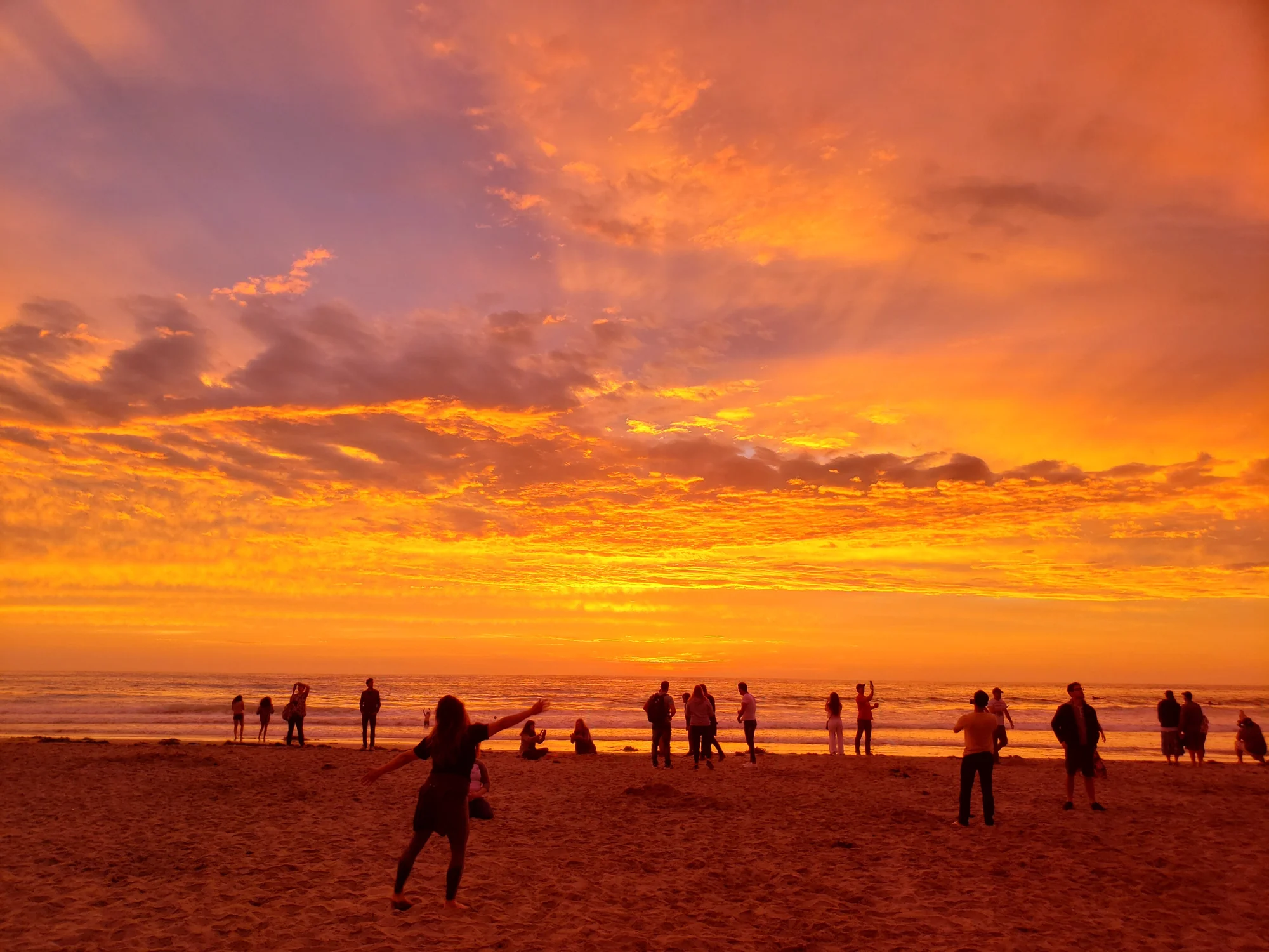
La Jolla Shores Beach
Verified California beach at 20 ft in San Diego Coast & Mountains.
Surf & BeachesWalk & HikeViews & Nature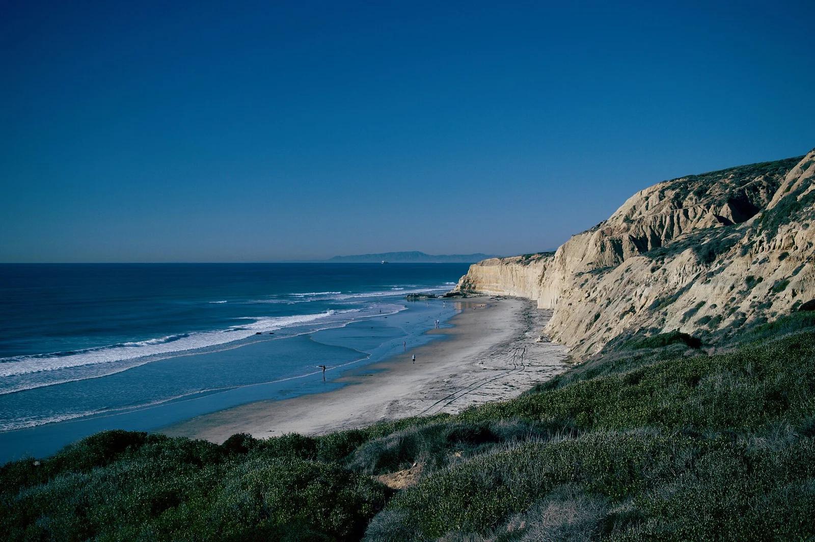 Beach4.1 mi away
Torrey Pines City Beach · San Diego
Black's Beach
Majestic beach cradled beneath 300-foot golden sandstone cliffs, celebrated for hollow beach break waves magnified by the Scripps submarine canyon.
Surf & BeachesWalk & HikeCamp & Picnic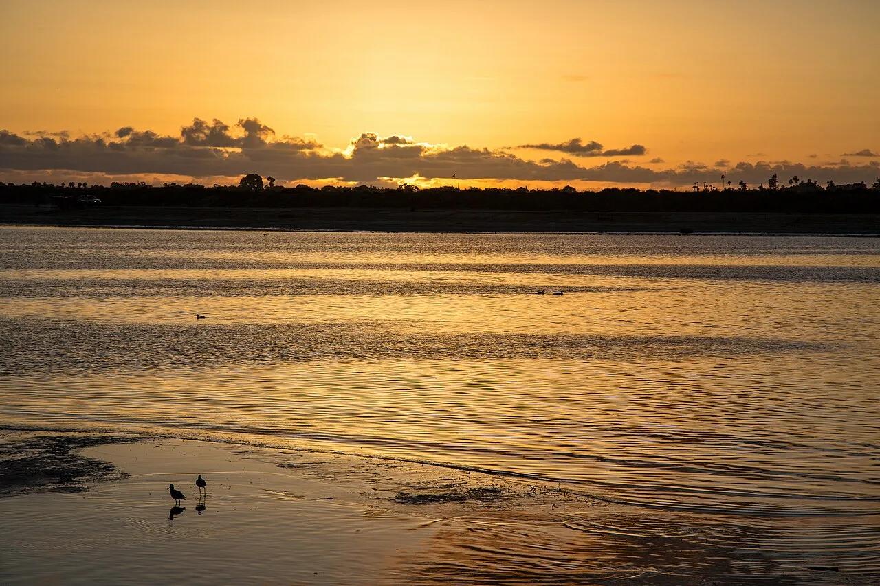 Bike route4.8 mi away
Mission Bay Park · San Diego & Coast
Mission Bay 12-Mile Bike & Paddle Path
Flat waterfront bikeway and calm bay paddle lagoons encircling the largest man-made aquatic park in the country.
CyclingViews & Nature Outdoor courts5.0 mi away
Mission Beach Park · San Diego
South Mission Beach Volleyball Courts
Vibrant San Diego volleyball courts situated at the southern tip of the Mission Beach peninsula where the ocean meets the jetty.
Outdoor Play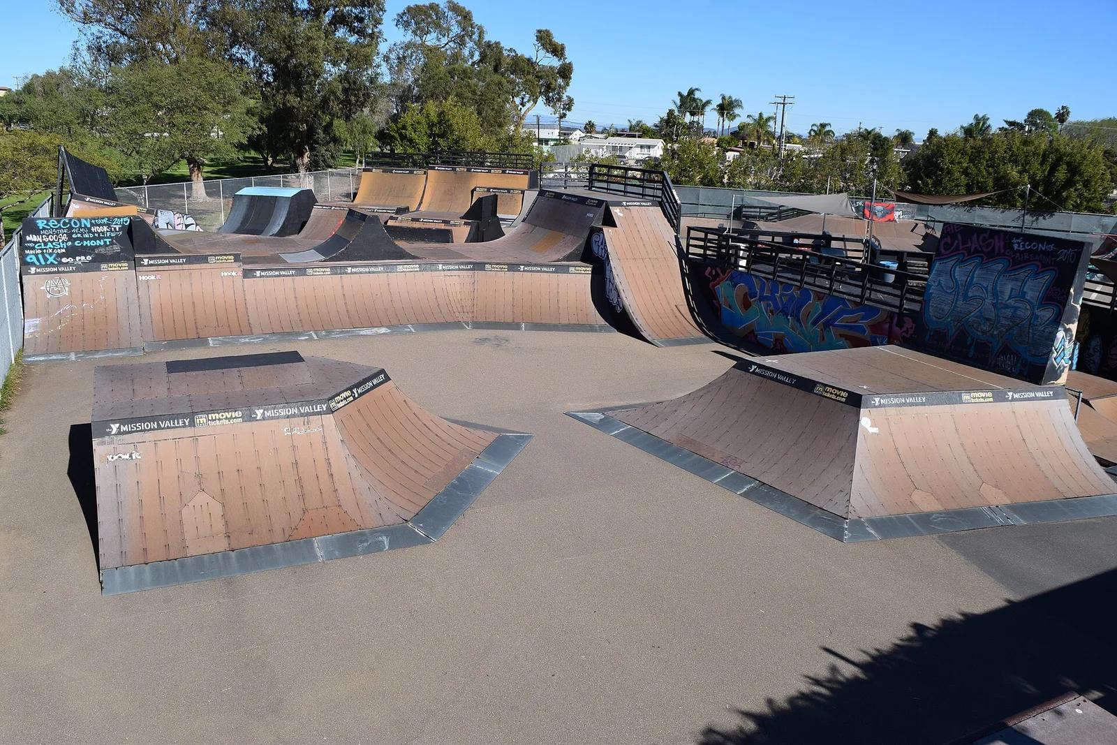 Skatepark5.6 mi away
Krause Family Skatepark · San Diego
Clairemont Skate Park
Historic San Diego training ground featuring an outdoor vert ramp, pro course, and beginner zones frequented by Olympic skateboarders.
Outdoor Play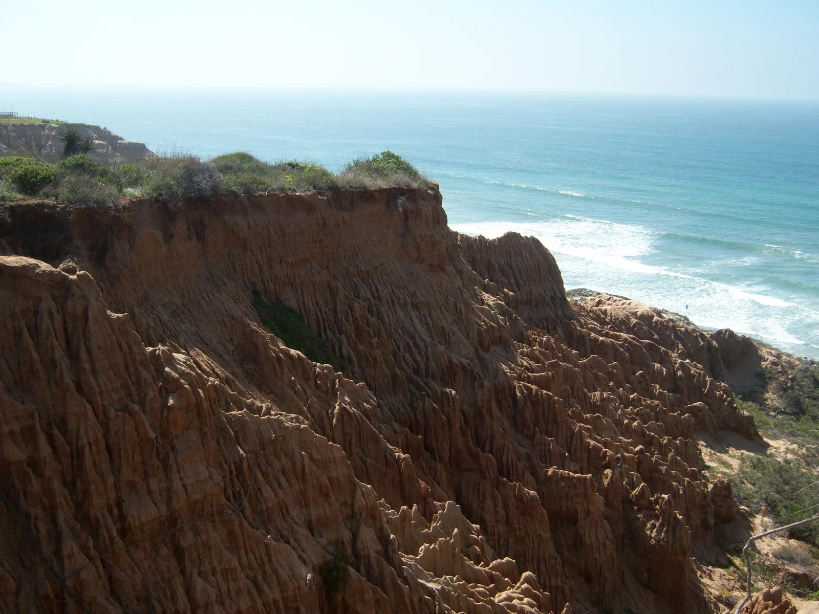 Viewpoint6.1 mi away
Torrey Pines State Natural Reserve · Southern California
Torrey Pines - Razor Point
Dramatic coastal sandstone formations and rare Torrey pine trees overlooking deep ocean gorges and breaking Pacific surf.
Walk & HikeViews & Nature