Waterfall
Yosemite National Park · Yosemite & Central Sierra
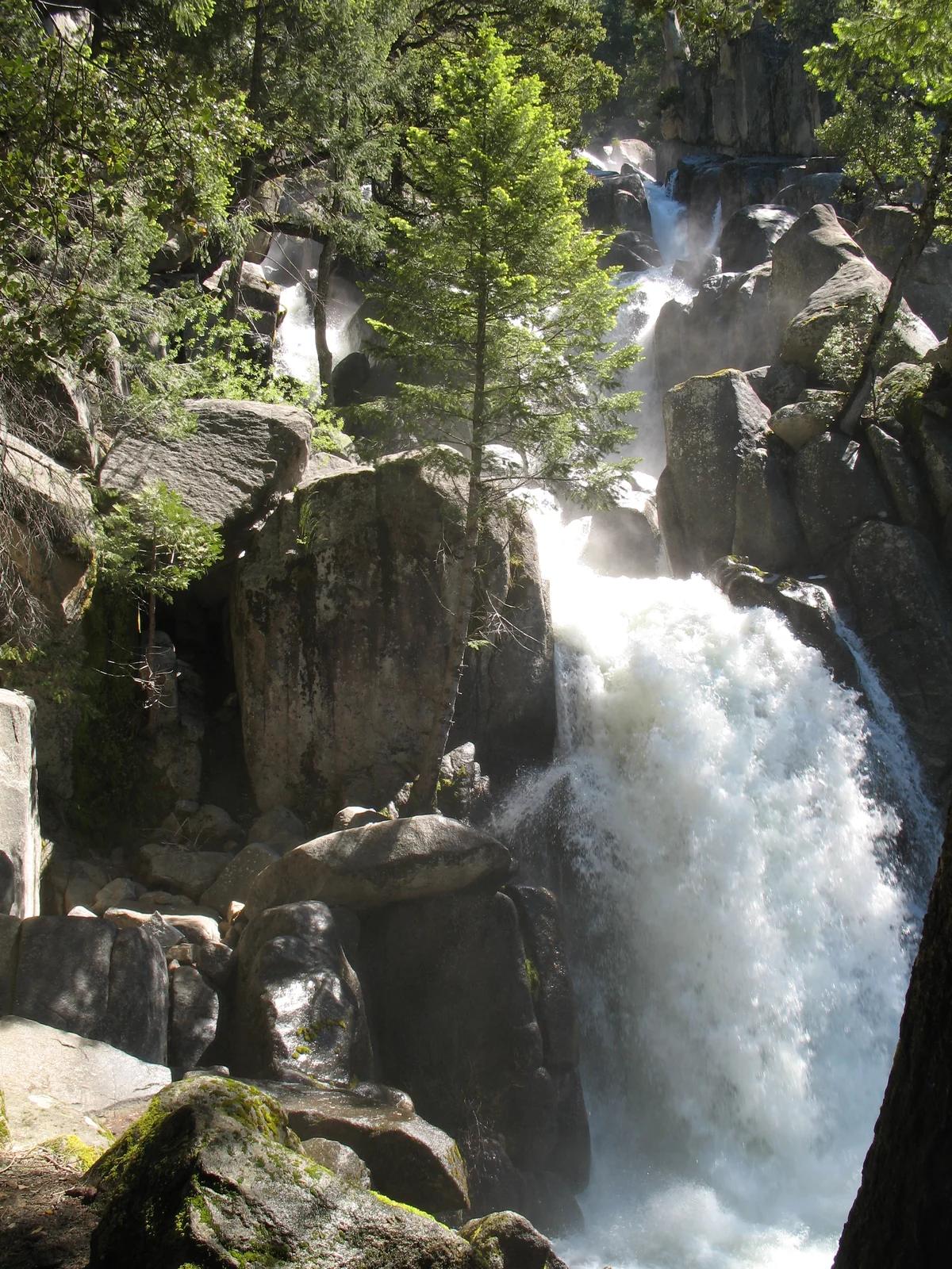
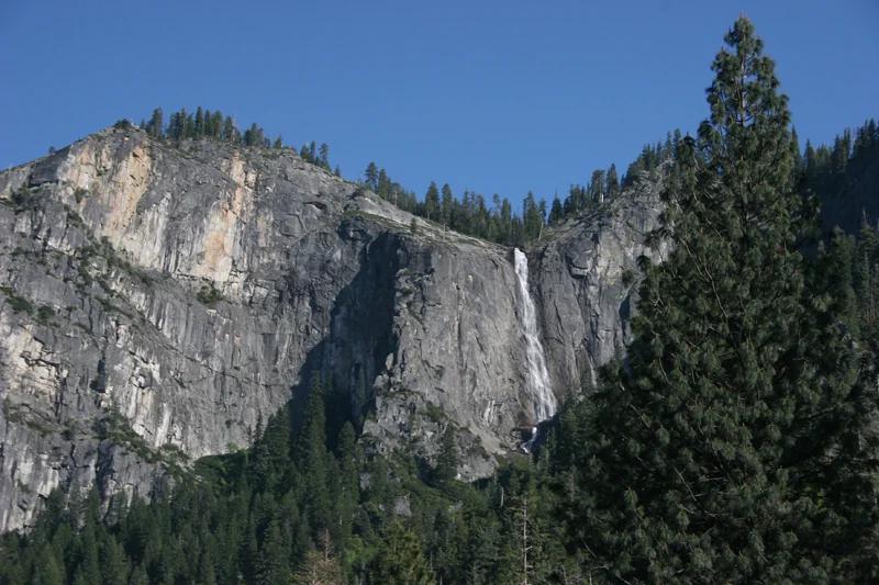
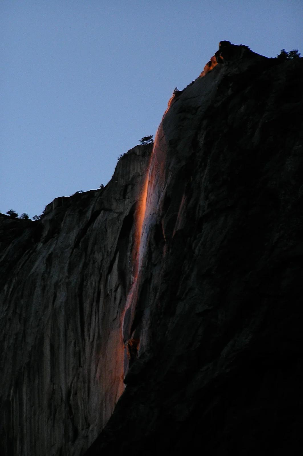
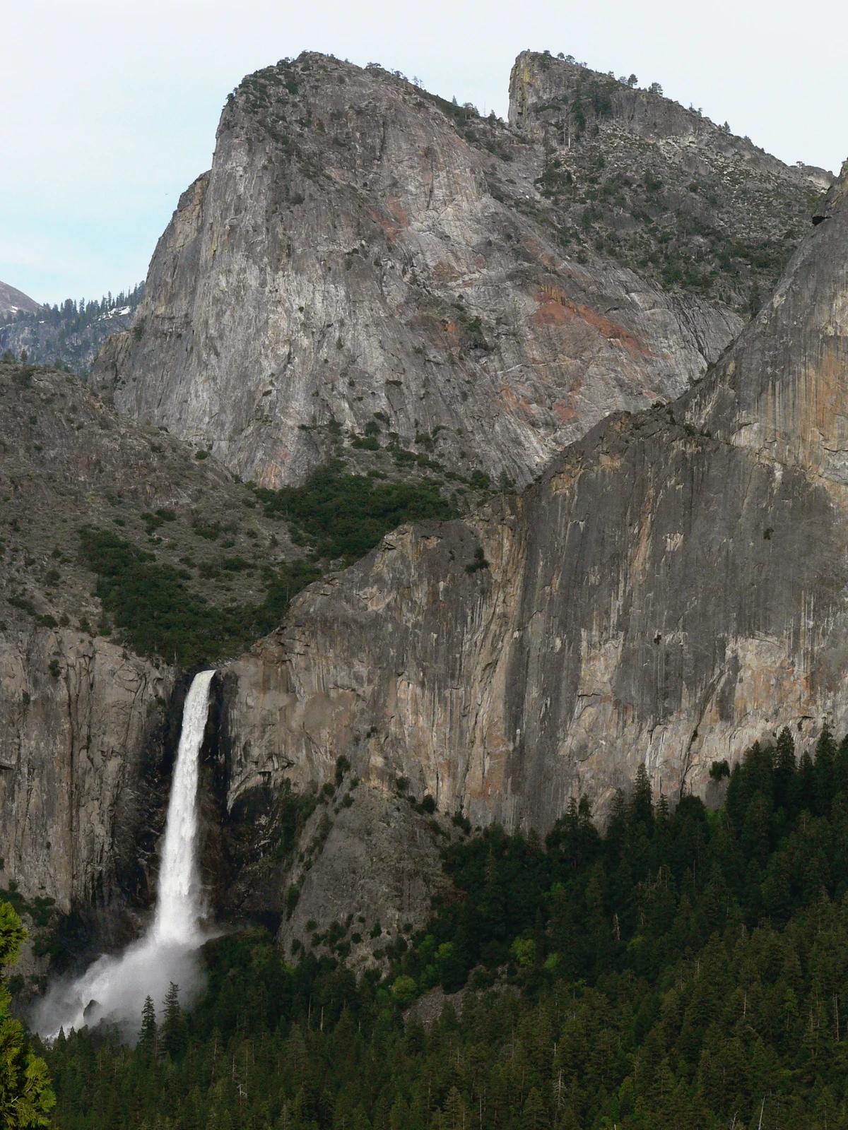
Bridalveil Fall
Verified California waterfall at 4,436 ft in Yosemite National Park (Yosemite & Central Sierra). Linked to Yosemite Valley Loop Trail.
- Route
- 20.3 mi
- Elevation
- 4,436 ft
Browse & Discover
Ocean-bluff campgrounds, desert boulders and redwood picnic groves.
369 of 2,051 places
Drag to pan. Double-click, pinch or scroll to zoom. Keyboard: arrow keys and +/−. Cards below remain available.
Loading map… Browse the spot cards below at any time.
Yosemite National Park · Yosemite & Central Sierra
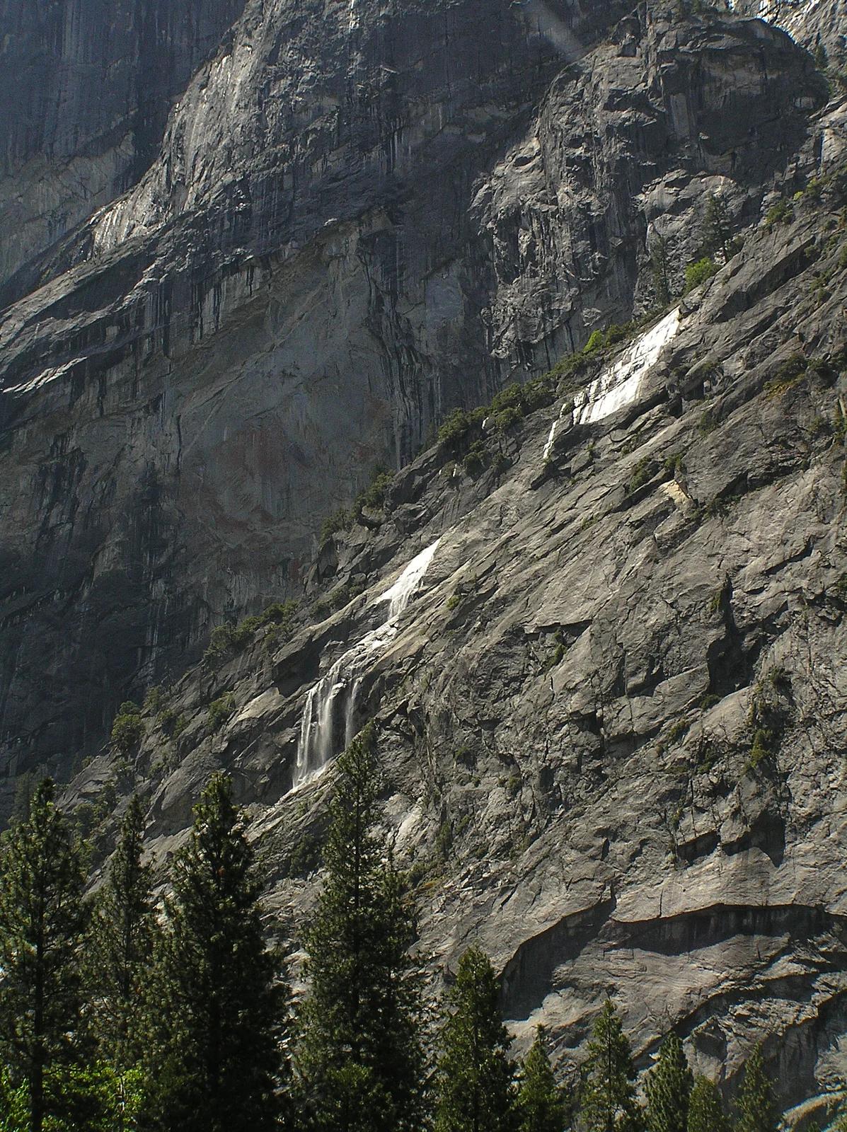
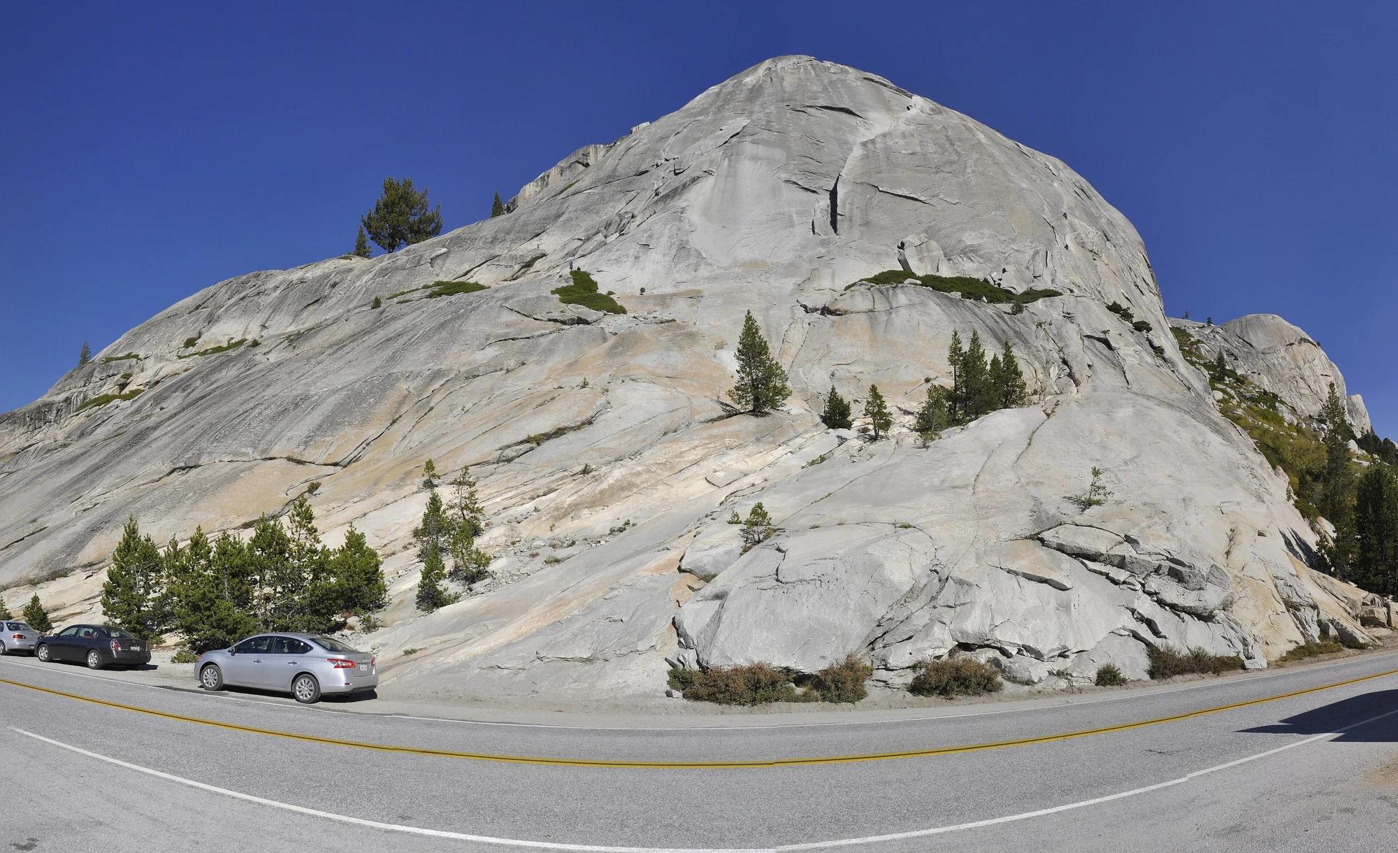
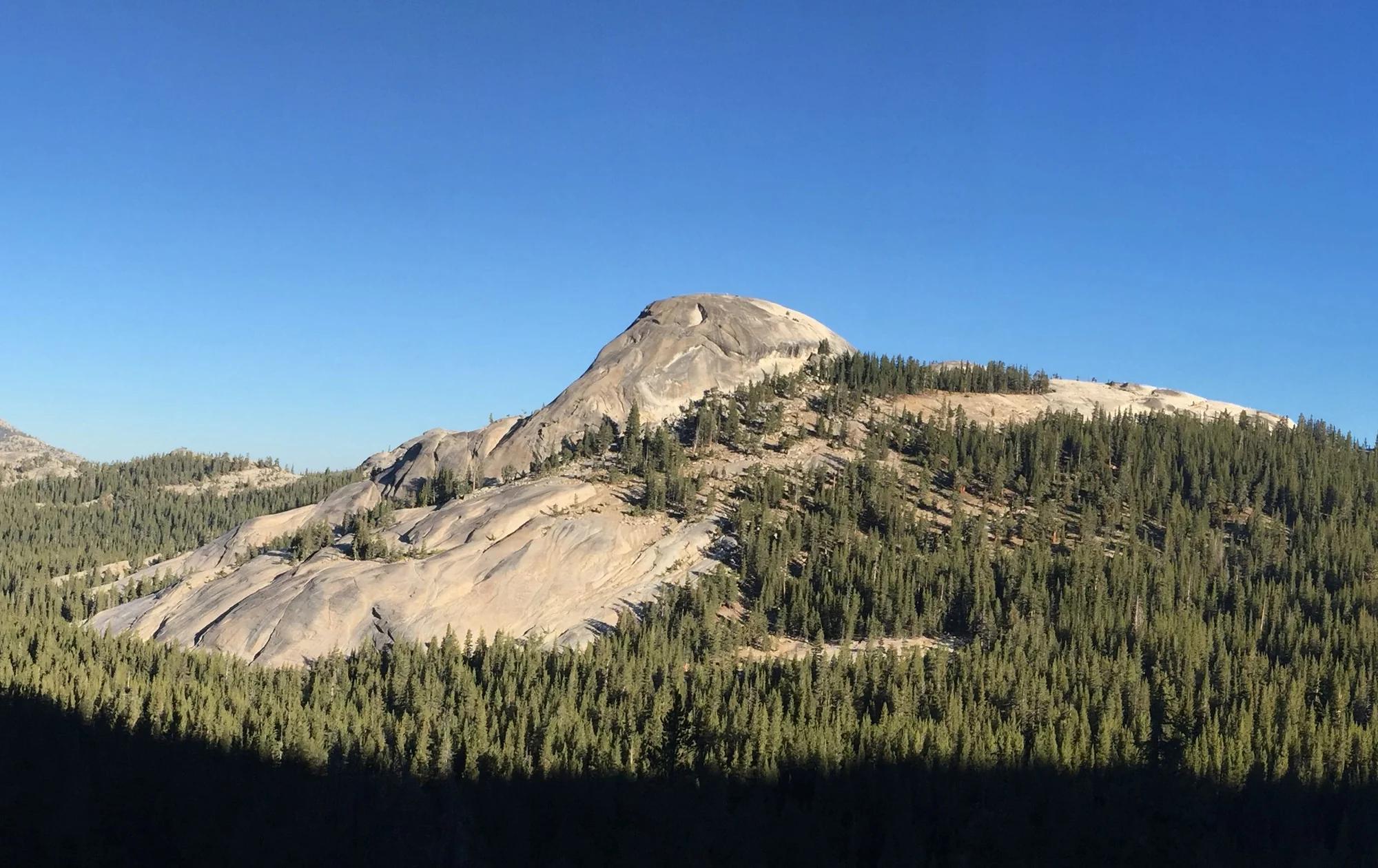
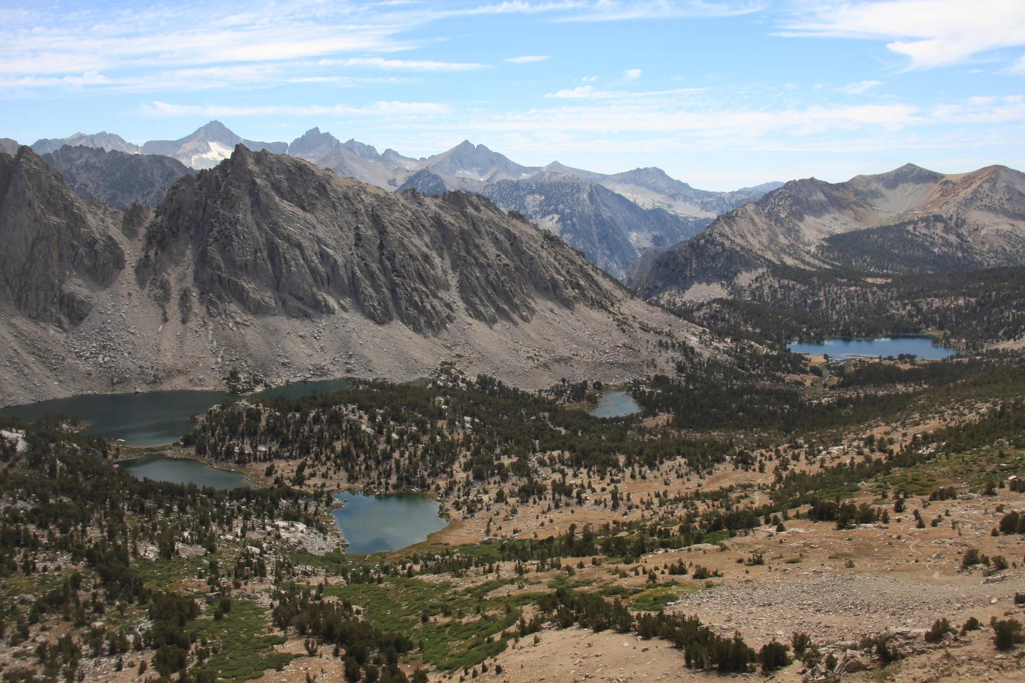
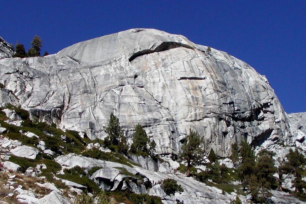
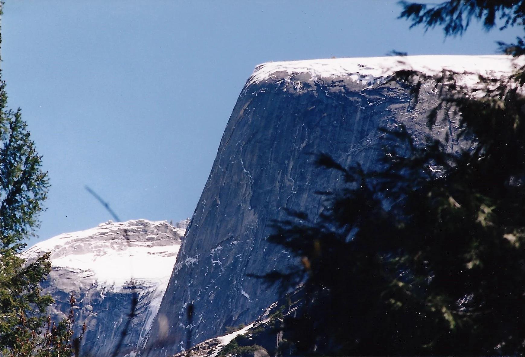
Verified California peak at 8,169 ft in Yosemite National Park (Yosemite & Central Sierra).
Photo: Glenn Scofield Williams from Portland, Oregon, USA · CC BY 2.0
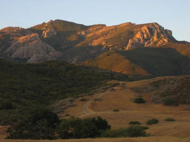
Santa Monica Mountains National Recreation Area · Santa Monica Mountains
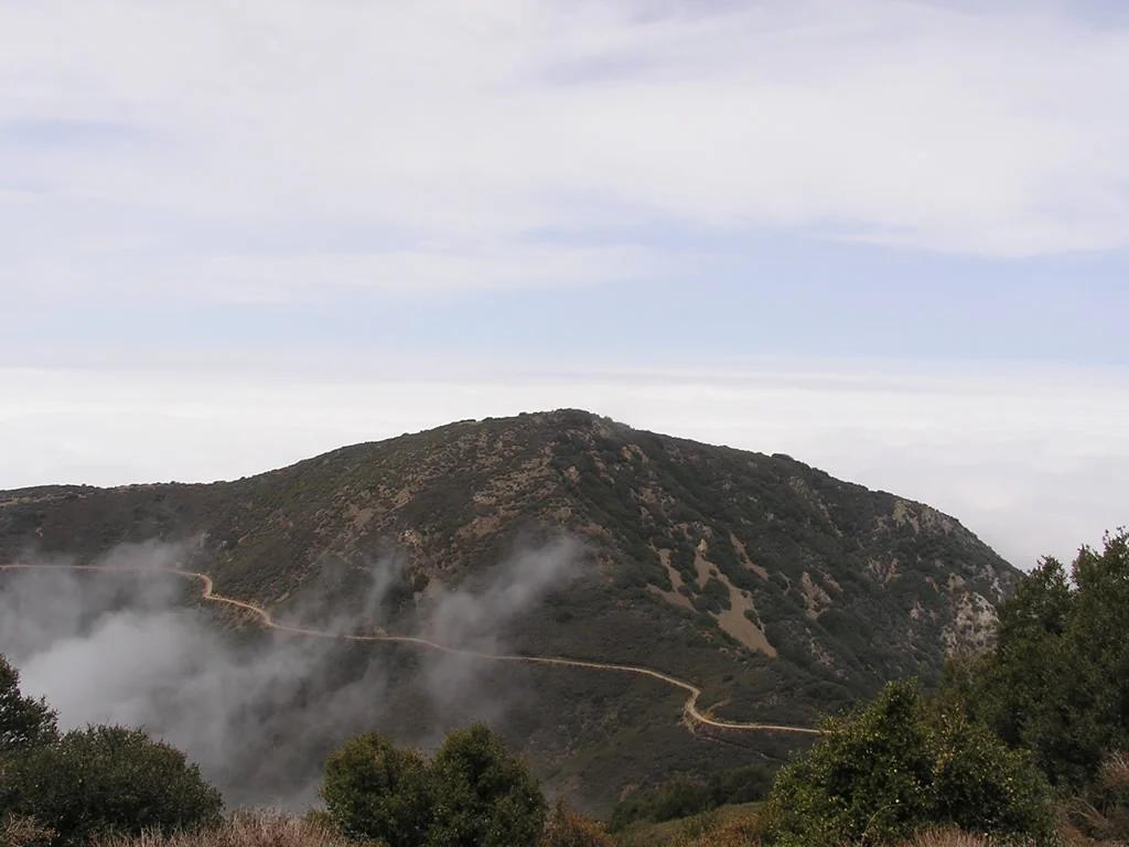
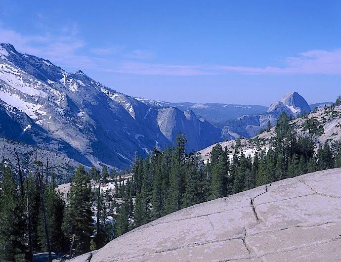
Verified California saddle at 2,103 ft in Santa Monica Mountains National Recreation Area (Santa Monica Mountains). Linked to Backbone Trail.
Photo: Randy from Newbury Park, California, USA · CC BY 2.0
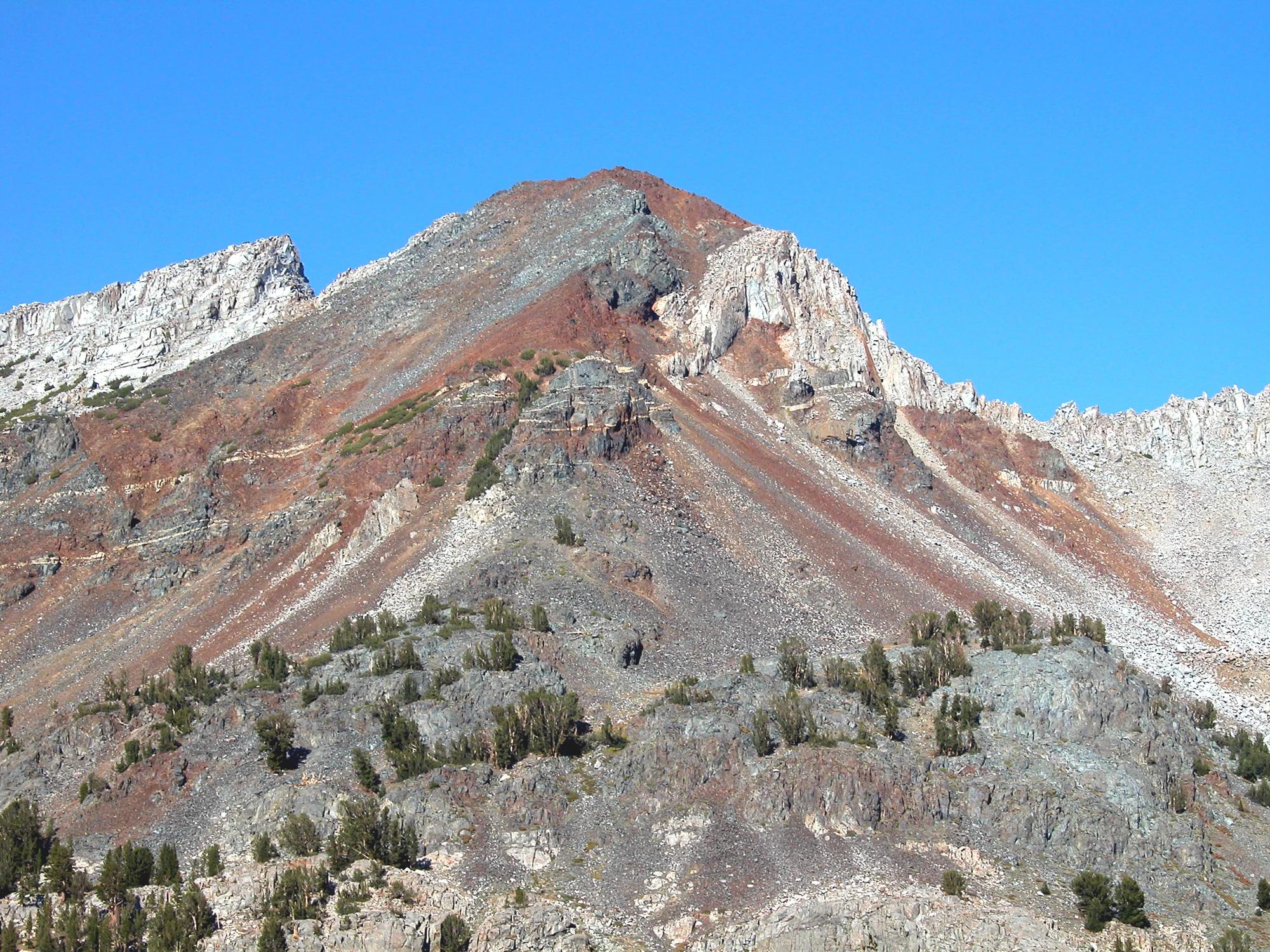
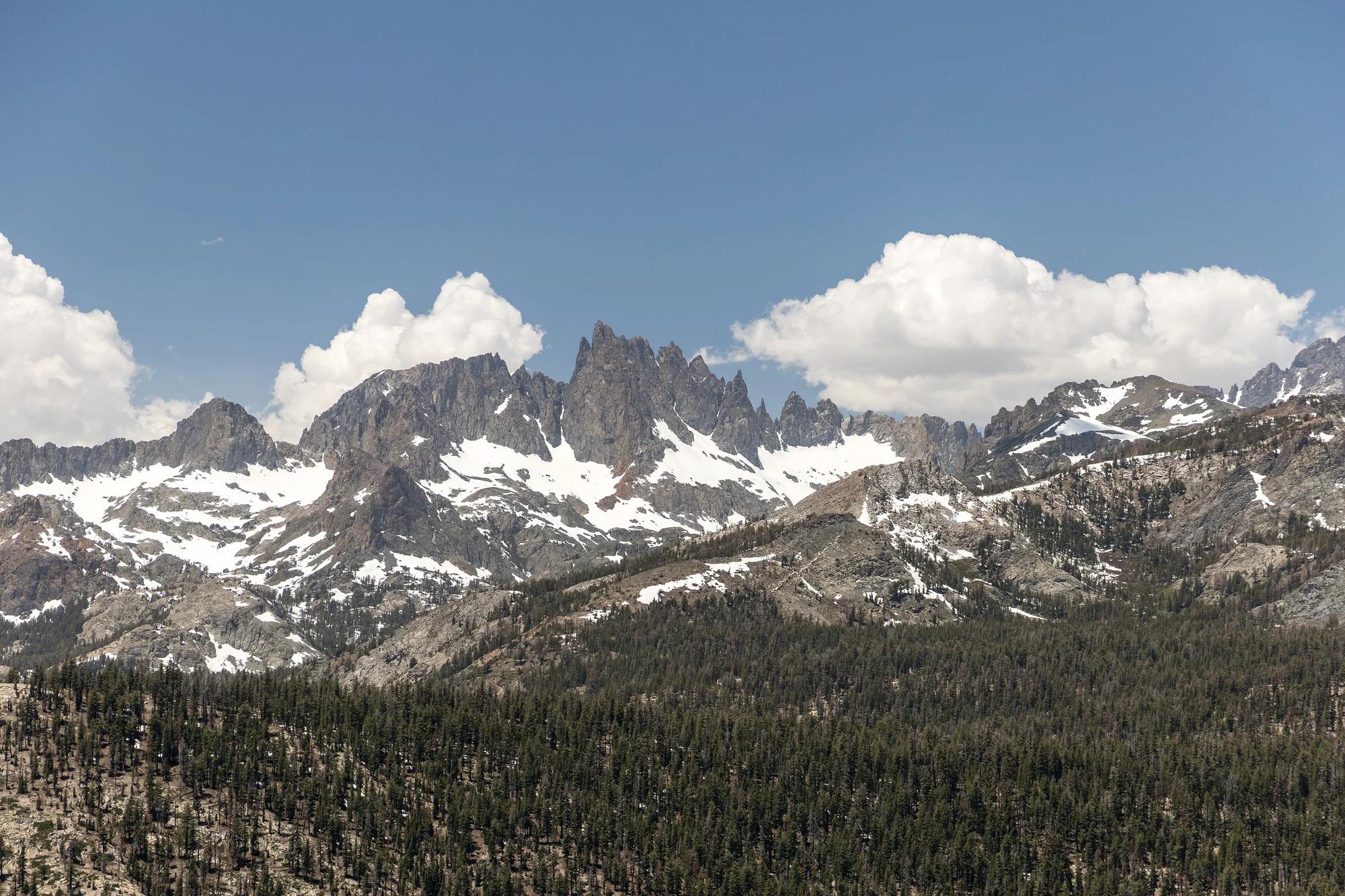
Inyo National Forest · Yosemite & Central Sierra
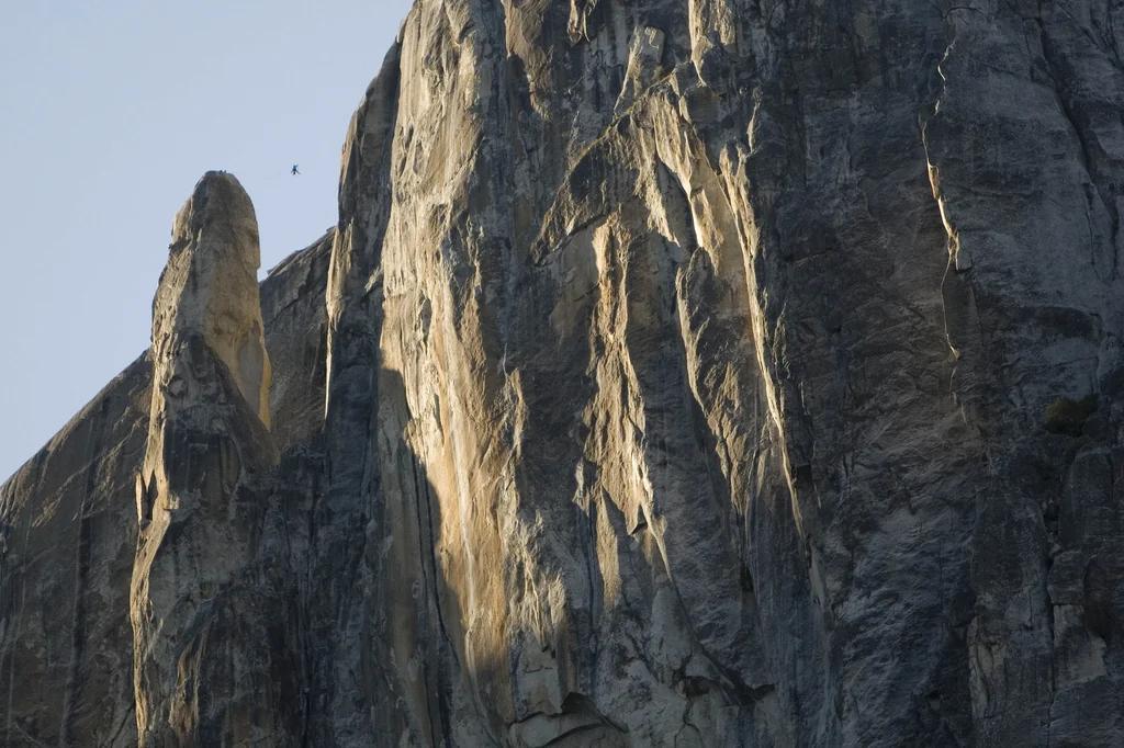
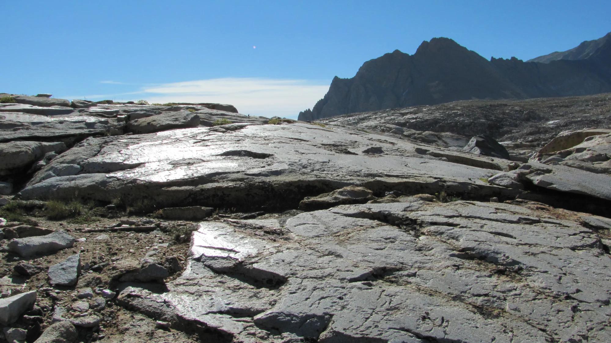
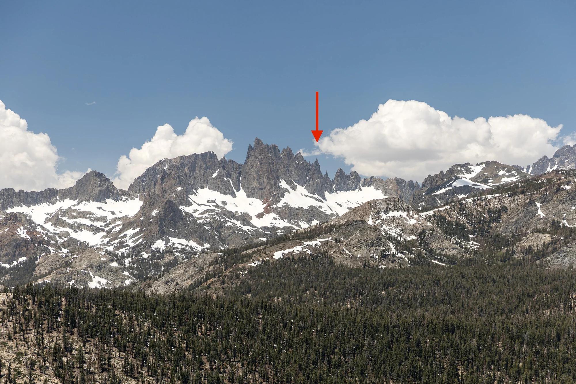
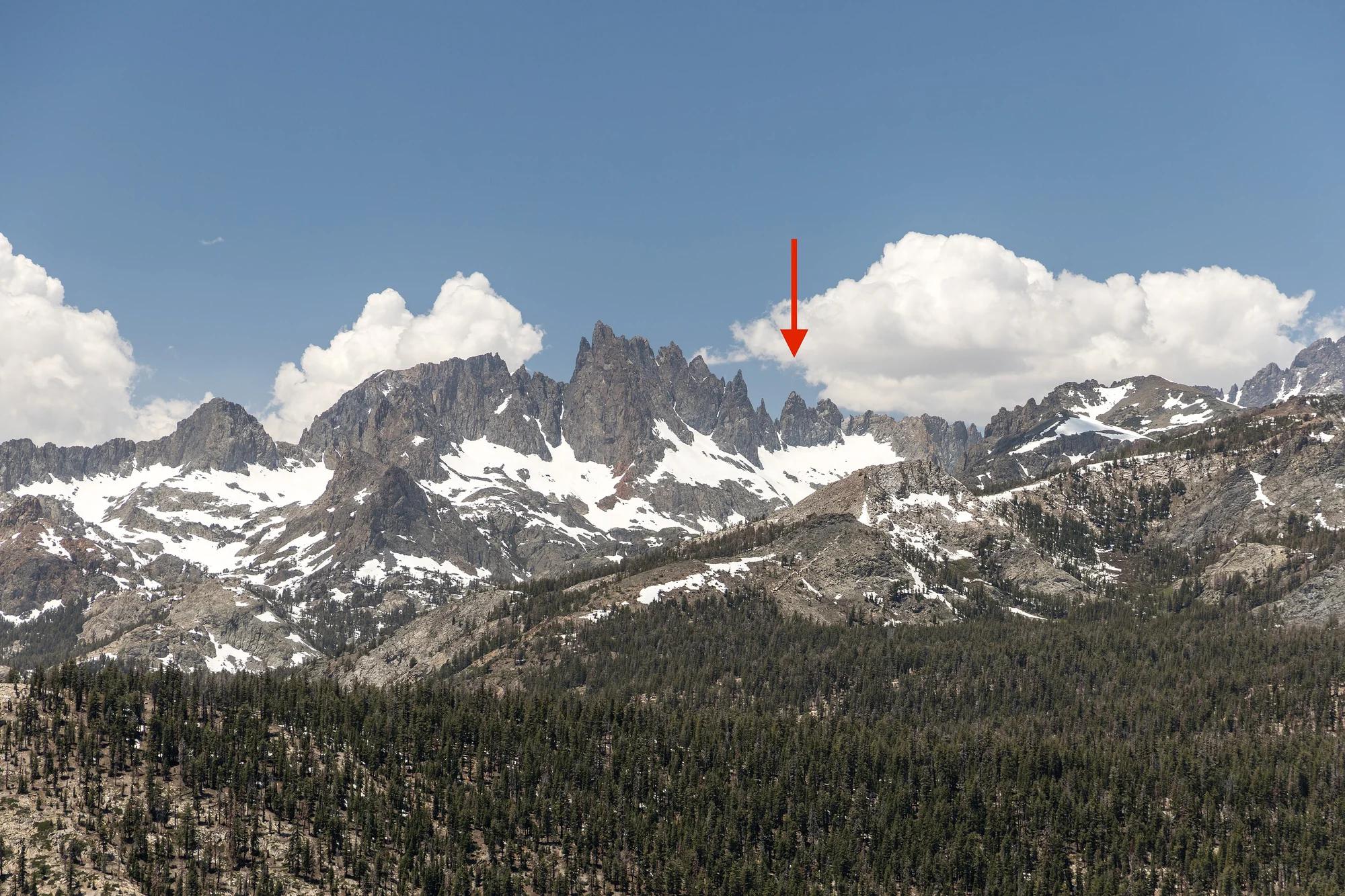
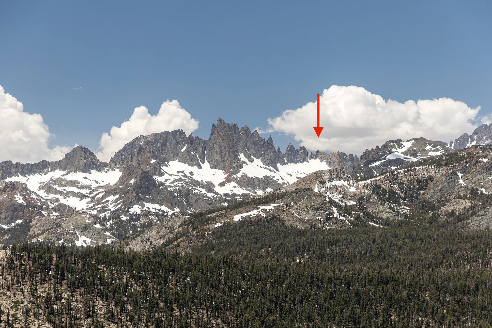
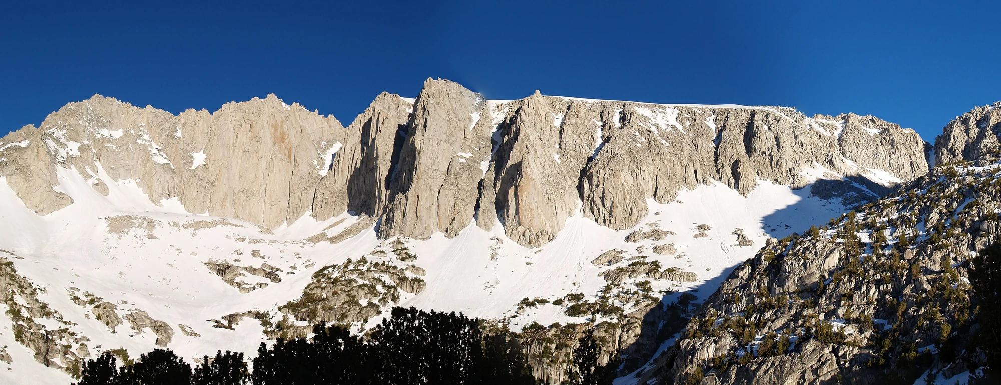
Verified California peak at 11,759 ft in Inyo National Forest (Yosemite & Central Sierra).
Photo: Feist, Michael - FunnyFence - catchthefuture · CC BY-SA 2.0
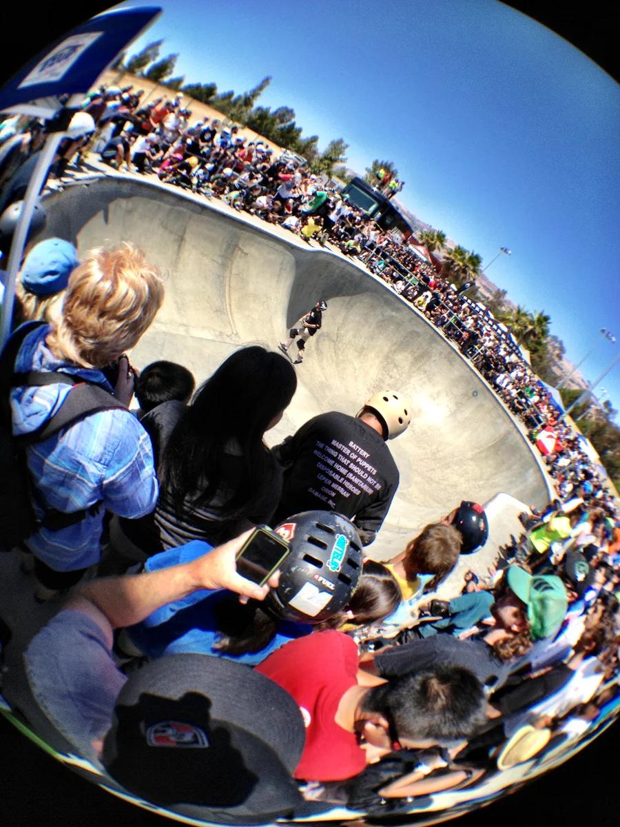
Lake Cunningham Regional Park · San Francisco Bay Area
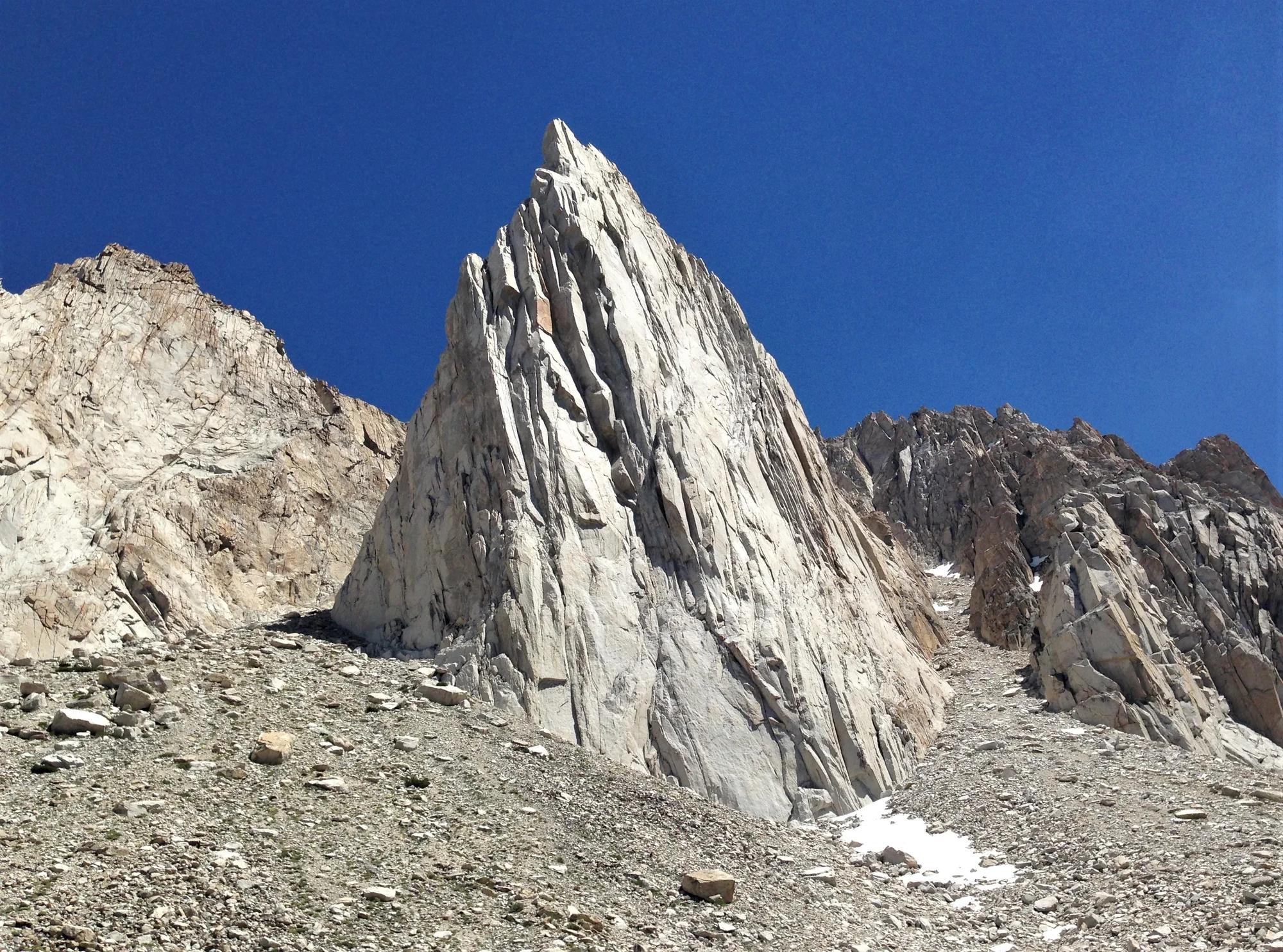
California's largest skatepark spanning 68,000 square feet, holding the world record for the tallest vertical bowl at 70 feet wide and 27 feet deep.
Photo: Victor Solanoy from San Jose, USA · CC BY 2.0