Peak
Yosemite National Park · Yosemite & Central Sierra
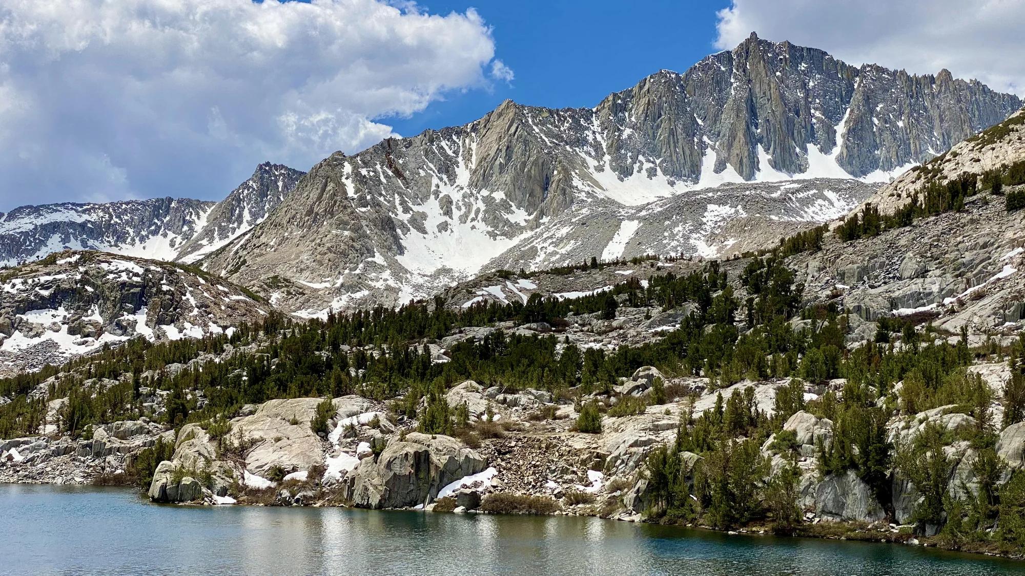
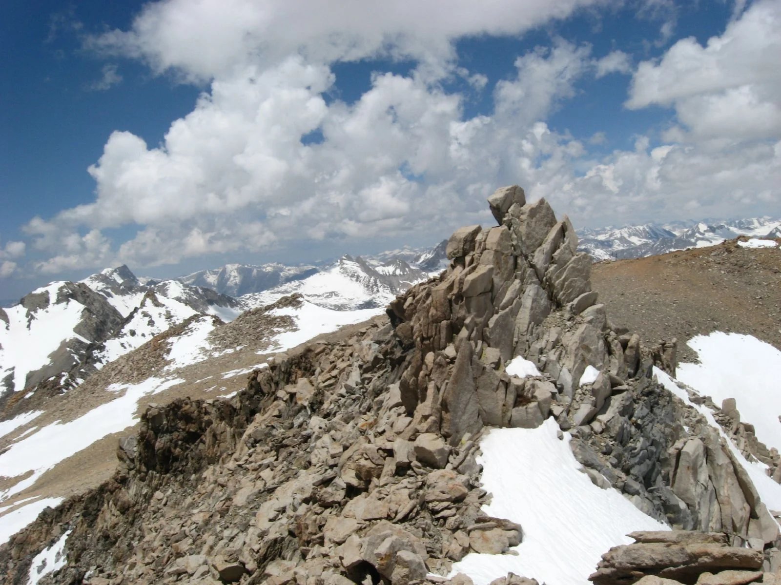
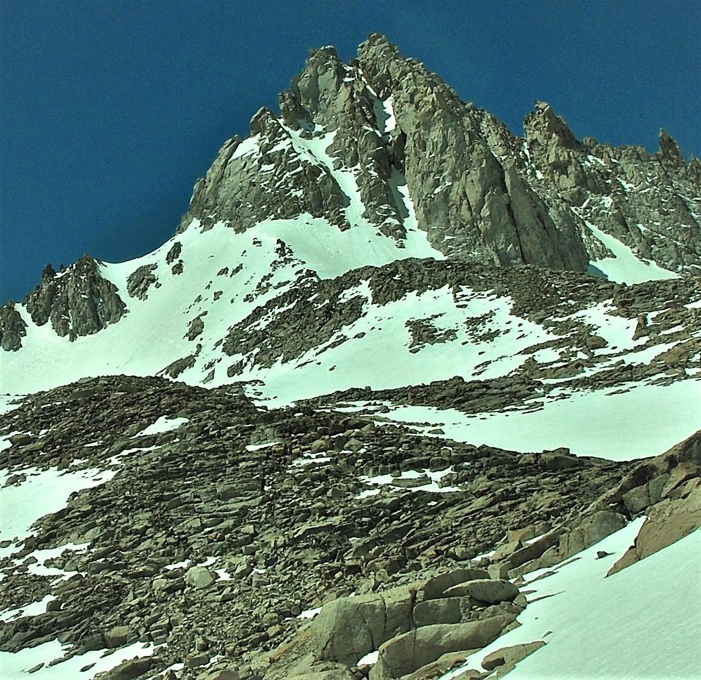
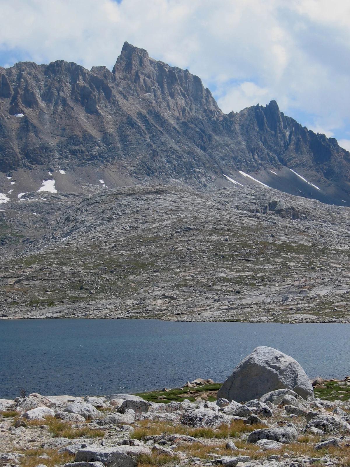
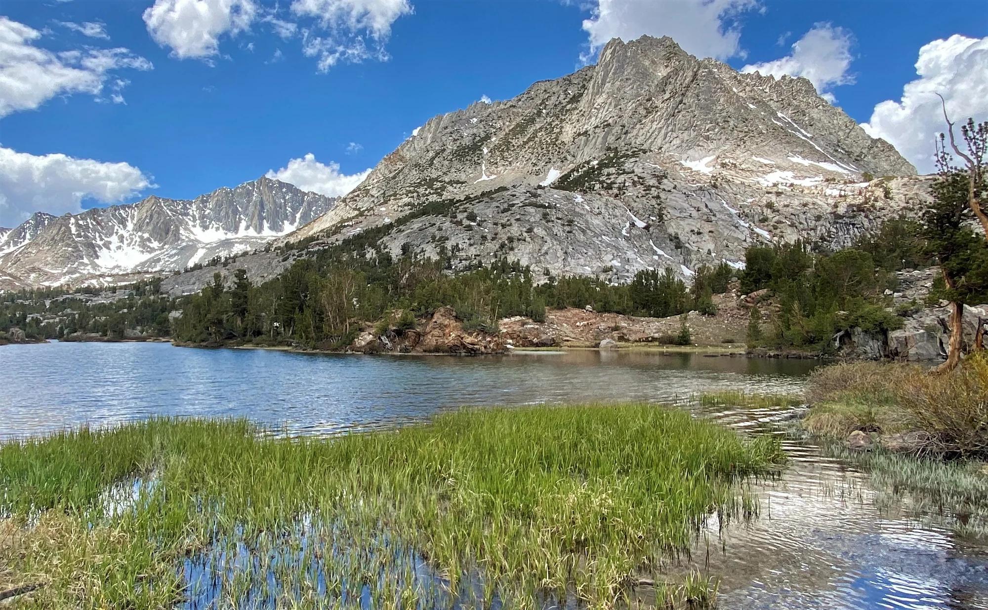
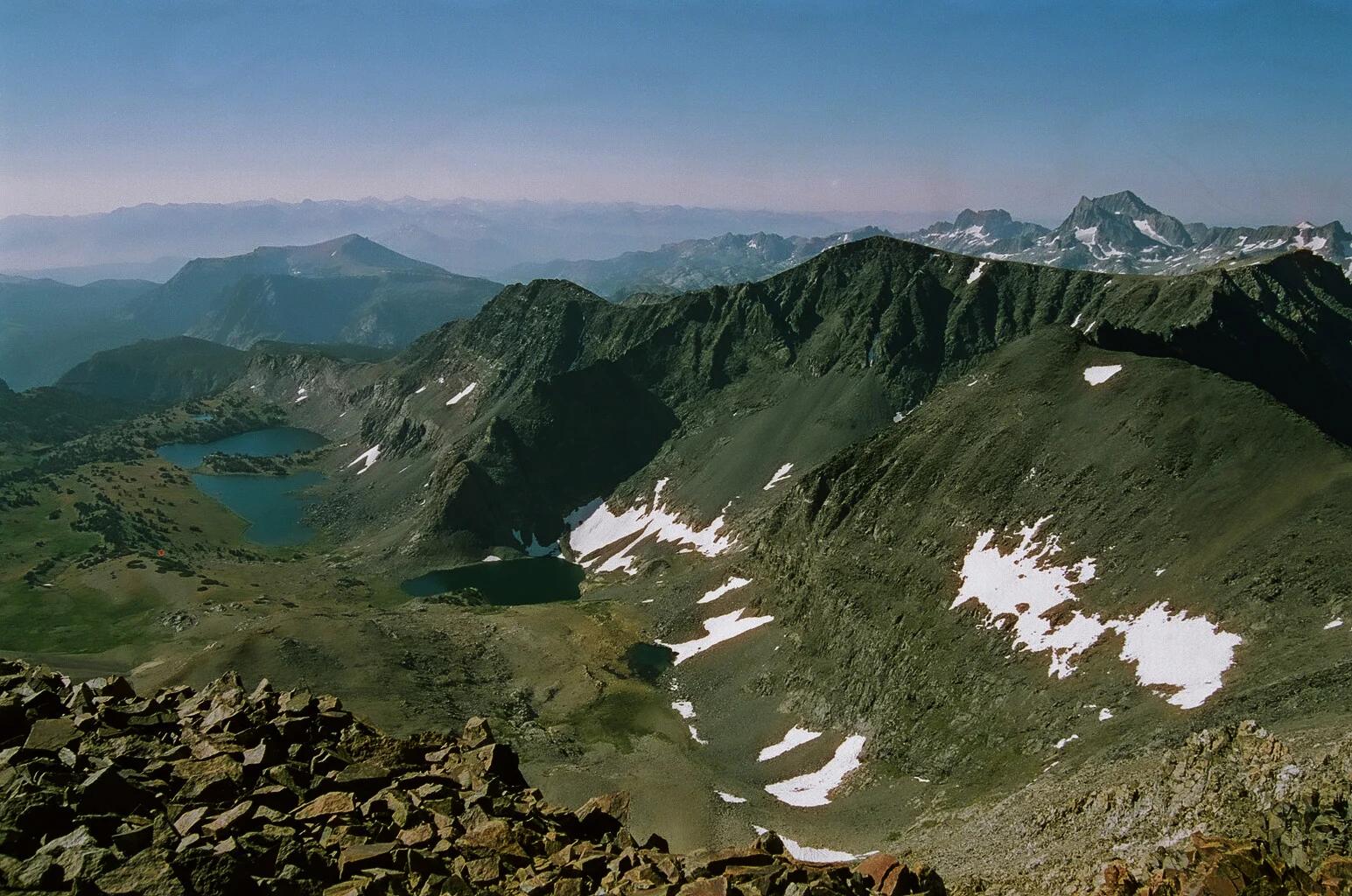
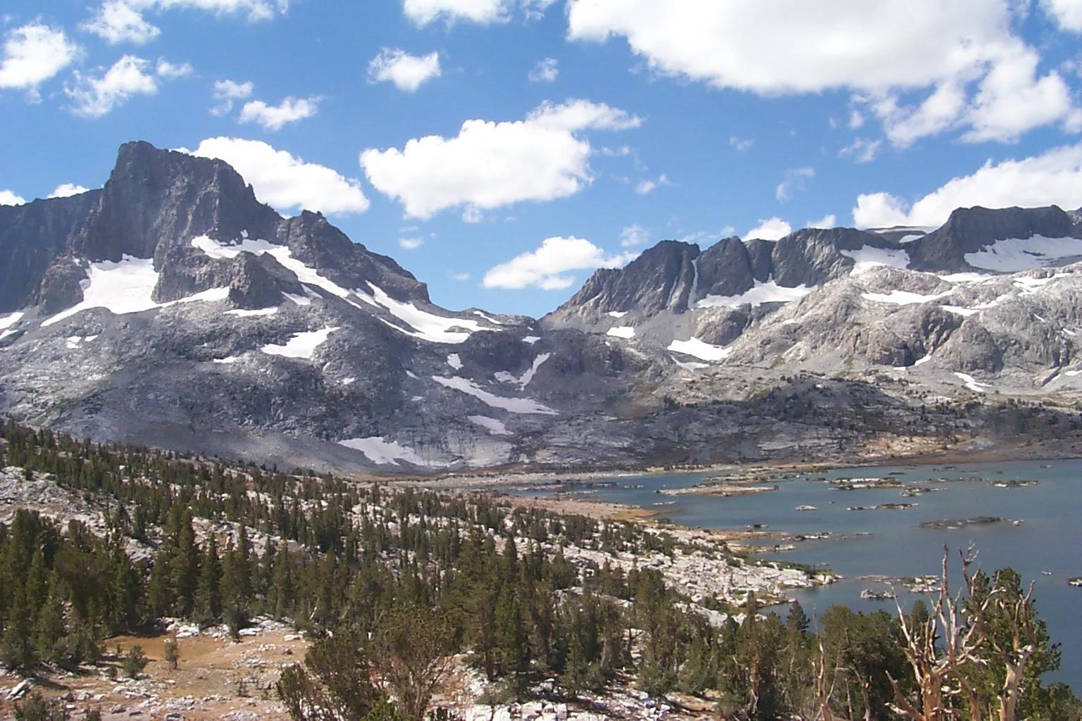
Mount Davis
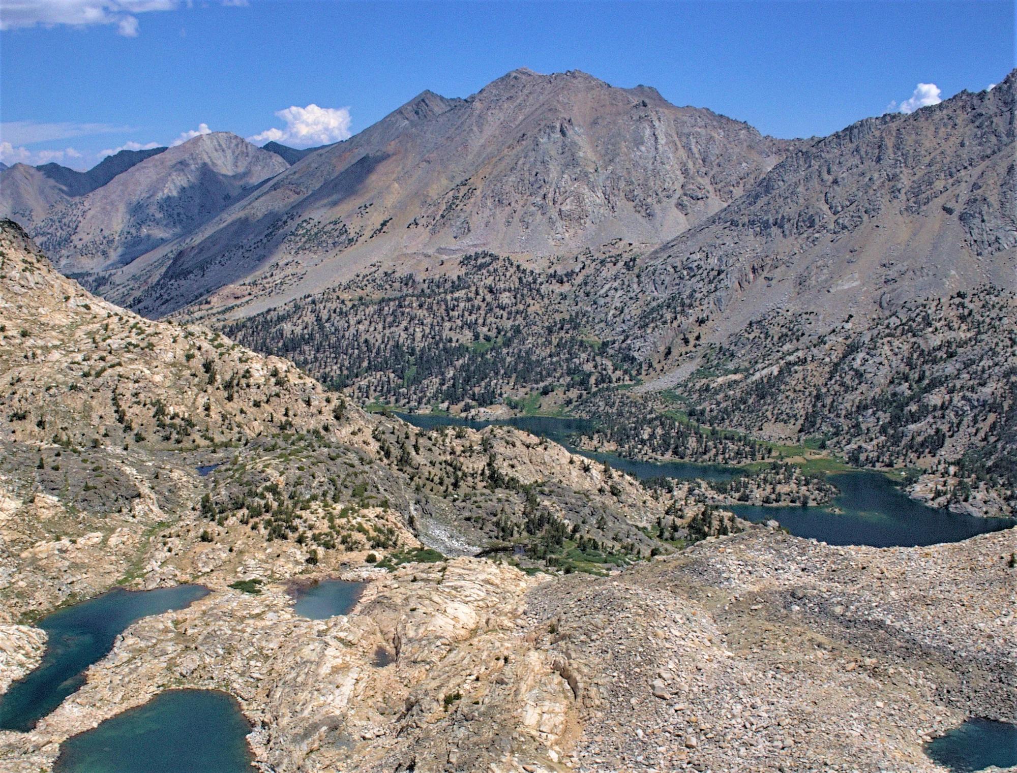
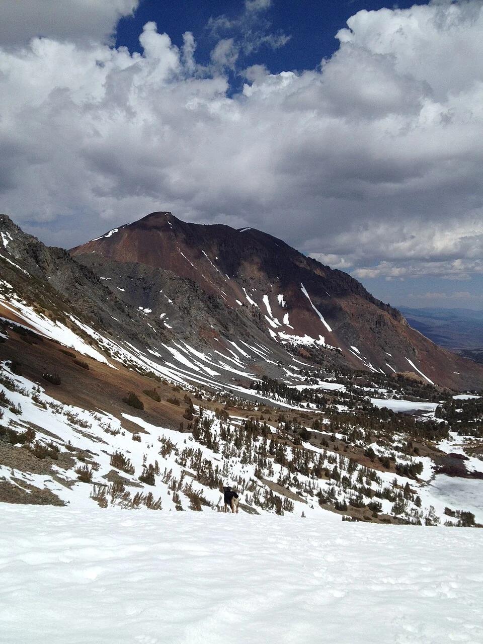
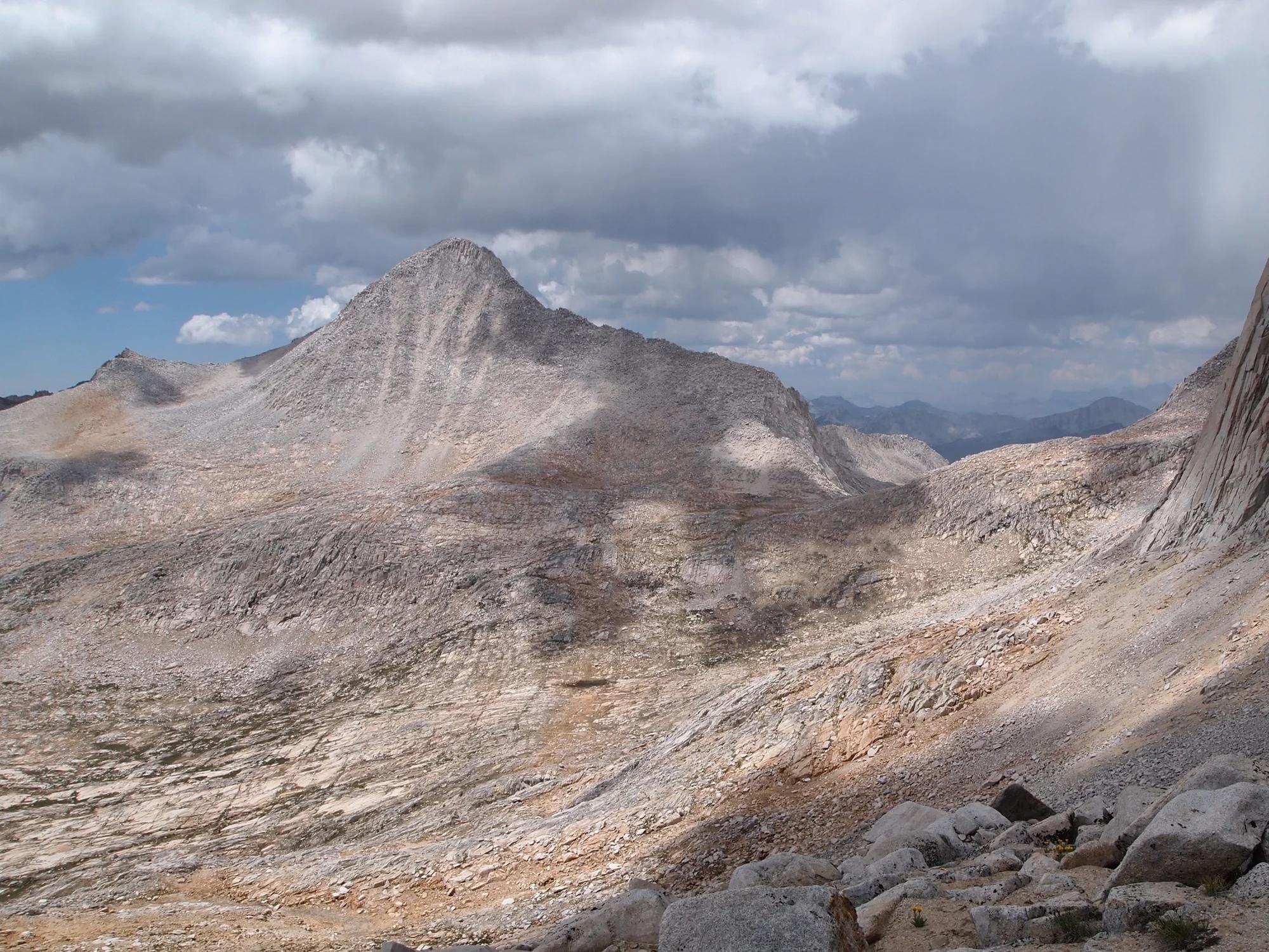
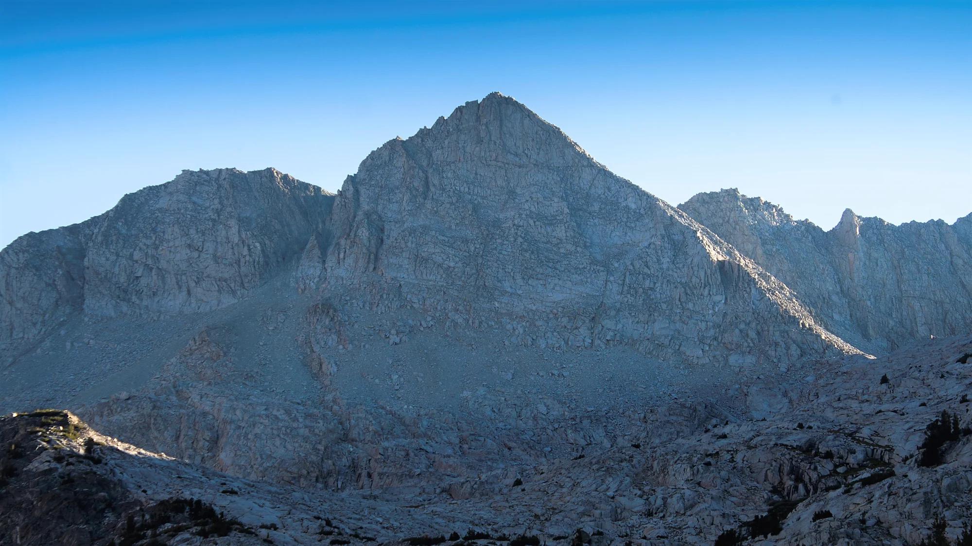
Verified California peak at 12,270 ft in Yosemite National Park (Yosemite & Central Sierra).
- Route
- 2.9 mi
- Climb
- 361 ft
Browse & Discover
Ocean-bluff campgrounds, desert boulders and redwood picnic groves.
822 of 2,051 places
Drag to pan. Double-click, pinch or scroll to zoom. Keyboard: arrow keys and +/−. Cards below remain available.
Loading map… Browse the spot cards below at any time.
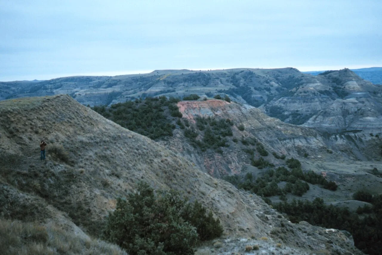
Theodore Roosevelt National Park (North Unit) · Badlands · North Dakota
Expansive high plains promontory jutting into the wild Little Missouri river wilderness with 360-degree views of rugged canyon country and grazing bison.
Photo: Joseph H. Hartman · Public domain
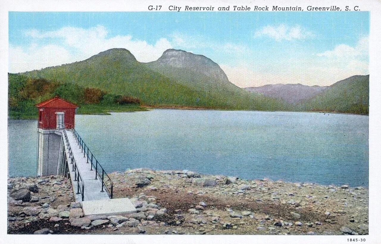
Caesars Head State Park (Mountain Bridge Wilderness) · Appalachian & Blue Ridge · South Carolina
Granite gneiss headland overlooking the Piedmont at 3,266 feet, linked to a cable suspension bridge directly above 420-foot Raven Cliff Falls.
Photo: Asheville Post Card Co. · Public domain
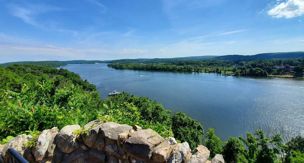
Gillette Castle State Park · Lower Connecticut River Valley · Connecticut
A medieval-style fieldstone castle built atop the Seventh Sister hill commanding panoramic vistas of the tidal Connecticut River.
Photo: It'sOnlyMakeBelieve · CC BY-SA 4.0
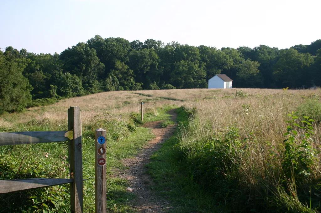
White Clay Creek State Park · Piedmont / New Castle County · Delaware
Piedmont stream valleys and hemlock ravines leading to the historic 1892 stone monument marking the DE-PA-MD boundary point.
Photo: Pixelguru at English Wikipedia · Public domain
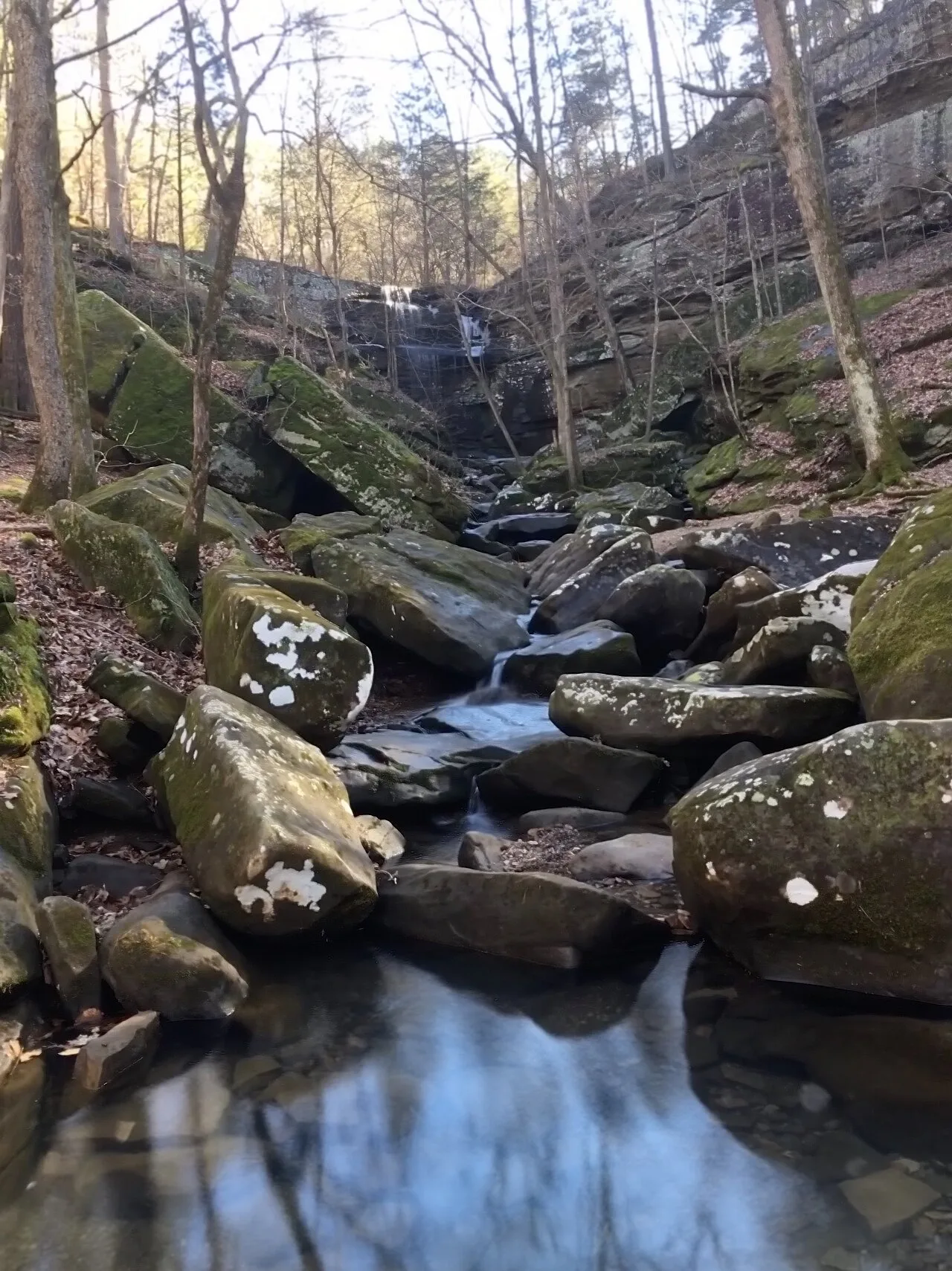
Shawnee National Forest (Burden Falls Wilderness) · Southern Illinois / Shawnee · Illinois
Illinois's largest waterfall complex, dropping over a series of sandstone ledges including an upper 20-foot drop and a thunderous 80-foot gorge plunge.
Photo: Mrostrichman · CC BY-SA 4.0

Backbone State Park (Dundee) · Northeast Iowa · Iowa
Iowa's oldest state park (1919), centering on a dramatic narrow bedrock ridge of Silurian dolomite flanked on three sides by the Maquoketa River loop.
Photo: Kevin Schuchmann · CC BY-SA 3.0
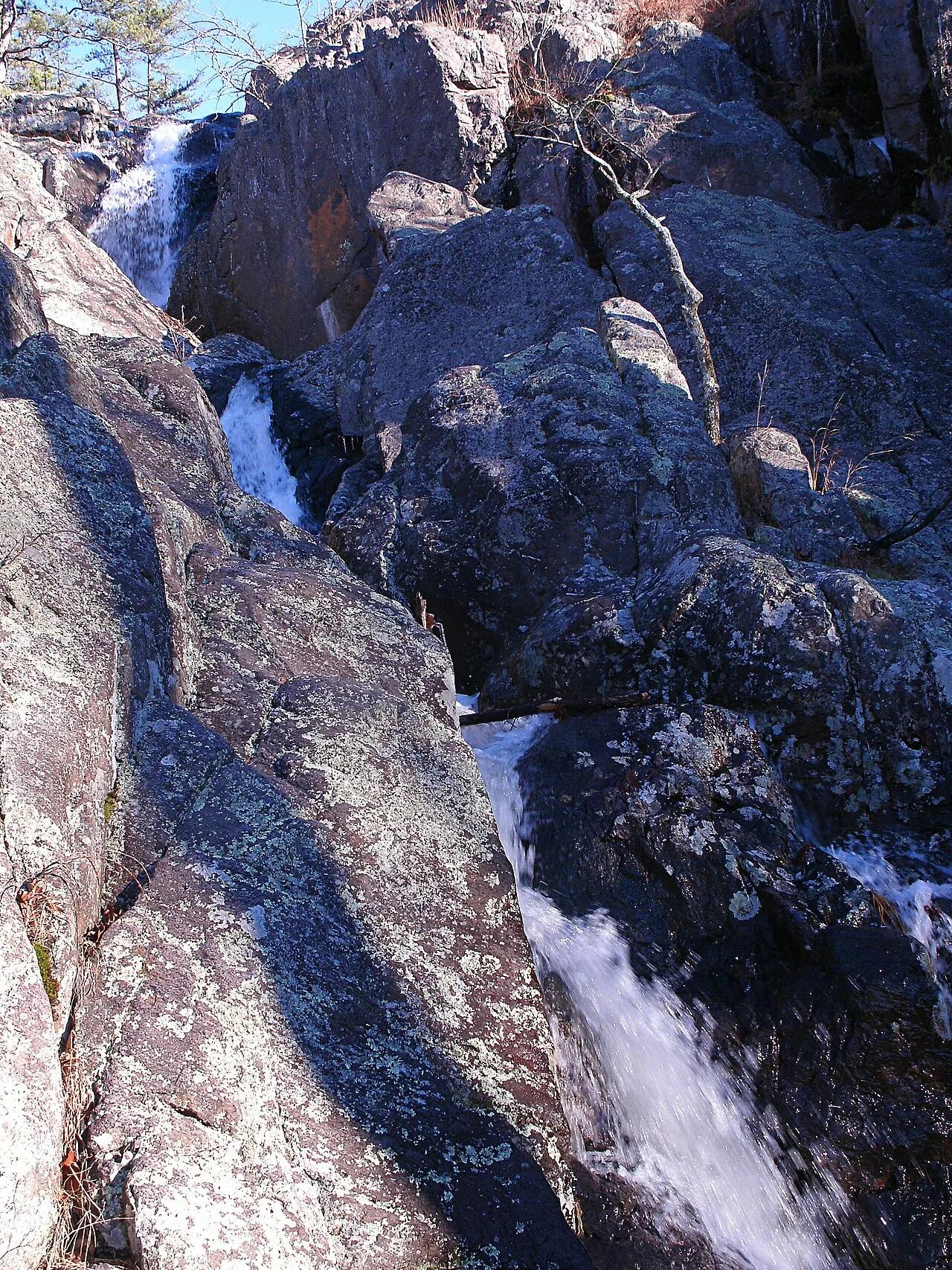
Taum Sauk Mountain State Park · St. Francois Mountains · Missouri
Missouri's highest point (1,772 feet) paired with its tallest wet-weather waterfall, plunging 132 feet over ancient Precambrian volcanic rhyolite ledges.
Photo: Kbh3rd · CC BY-SA 3.0
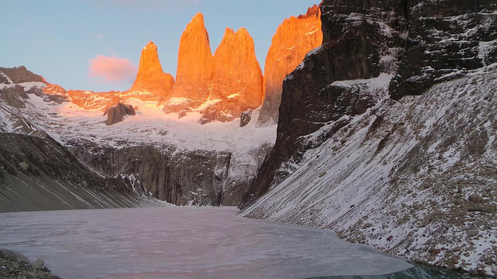
Torres del Paine National Park · Patagonia & Southern Andes · Chile
The crowning trek of Patagonia, climbing past the Ascencio Valley and glacial moraine to a glowing turquoise lake beneath three vertical granite monoliths.
Photo: Luchomunozm · CC BY-SA 4.0
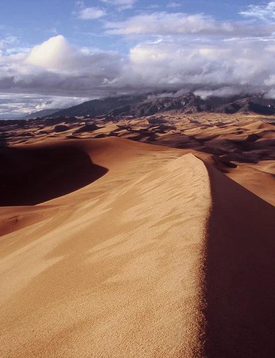
Great Sand Dunes National Park · Colorado & Rocky Mountains · Colorado
Trek across Medano Creek into the tallest sand dunes in North America, rising nearly 750 feet against the Sangre de Cristo Mountains.
Photo: Phil Armitage Landscape Photography · Public domain
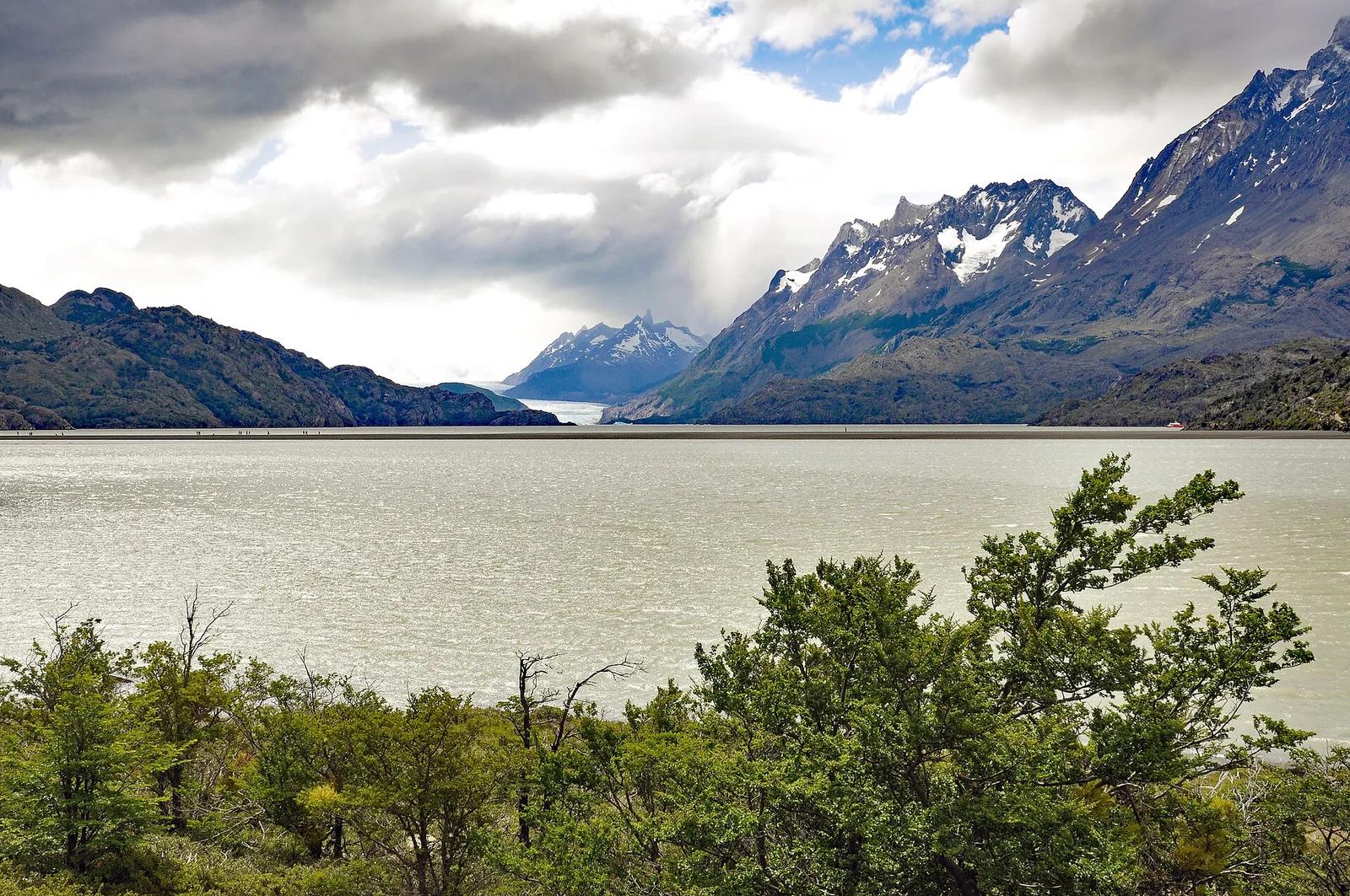
Torres del Paine National Park · Patagonia & Southern Andes · Chile
Colossal tongue of the Southern Patagonian Ice Field calving giant azure icebergs into Lago Grey, traversed by high swaying canyon suspension bridges.
Photo: P. Hughes · CC BY 4.0
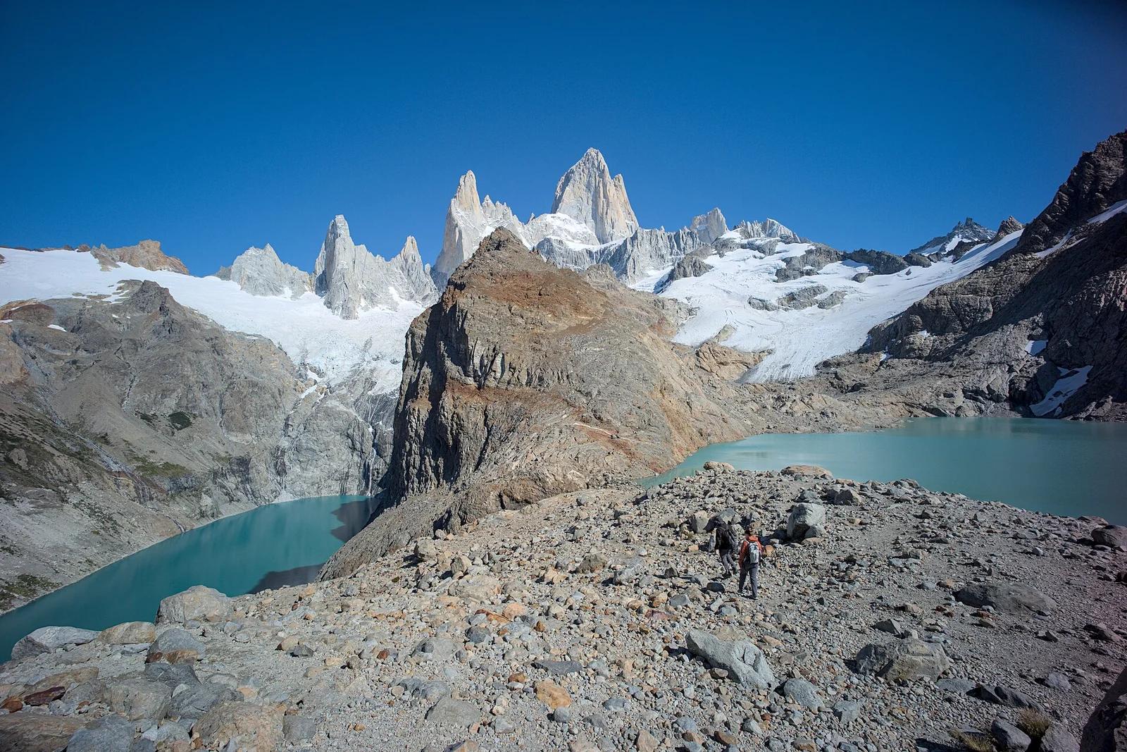
Los Glaciares National Park · Patagonia & Southern Andes · Argentina
The holy grail of Patagonian hiking: an alpine glacial tarn resting at the direct foot of Monte Fitz Roy's fang-like 3,405-metre granite towers.
Photo: Gedankenstuecke · CC BY-SA 4.0
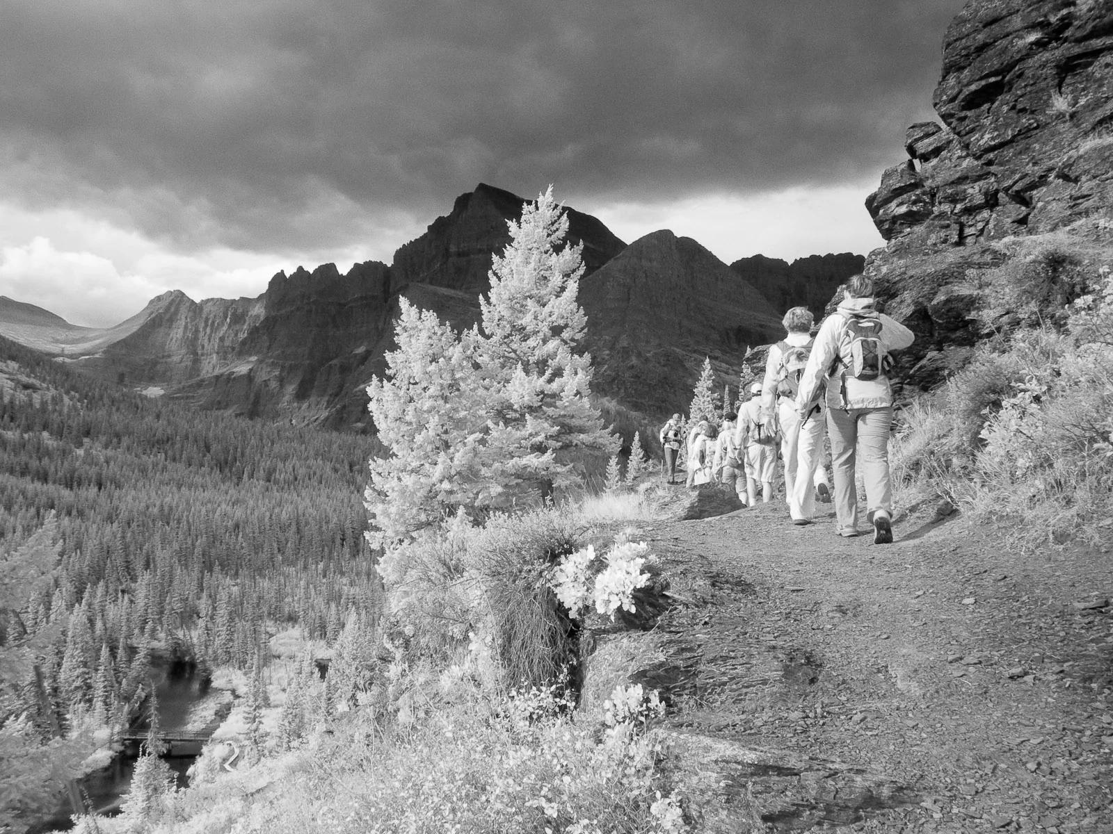
Glacier National Park · Yellowstone, Tetons & Northern Rockies · Montana
Ascends the Many Glacier Valley past emerald lakes to the terminus moraine and floating icebergs of Upper Grinnell Lake.
Photo: Greg Willis from Denver, CO, usa · CC BY-SA 2.0
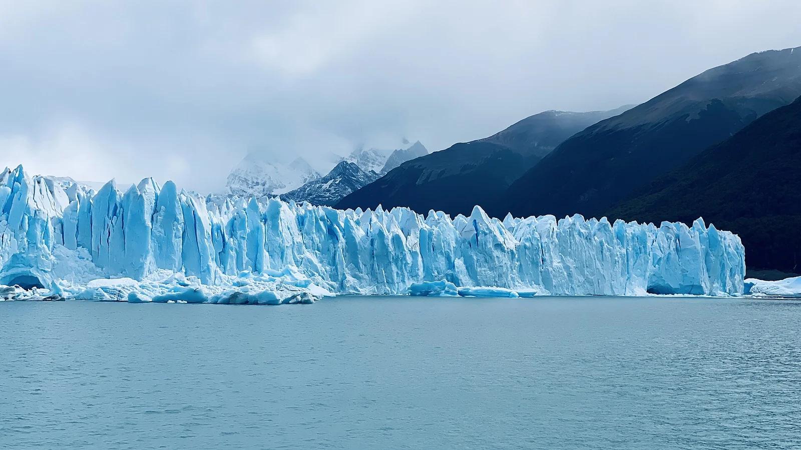
Los Glaciares National Park · Patagonia & Southern Andes · Argentina
A roaring 30-kilometre advancing ice river with a 70-metre front wall, watched from multi-tiered steel catwalks where towering ice seracs crash into Lago Argentino.
Photo: lamblukas · CC BY 2.0
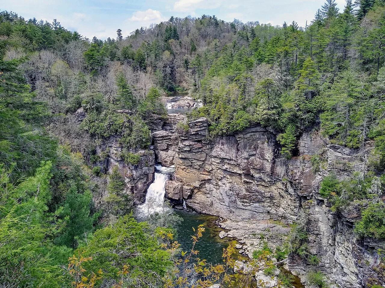
Blue Ridge Parkway / Pisgah National Forest · Appalachian & Blue Ridge · North Carolina
Three-tiered waterfall roaring into the 2,000-foot-deep Linville Gorge—the 'Grand Canyon of the Southern Appalachians.'
Photo: P. Hughes · CC BY-SA 4.0
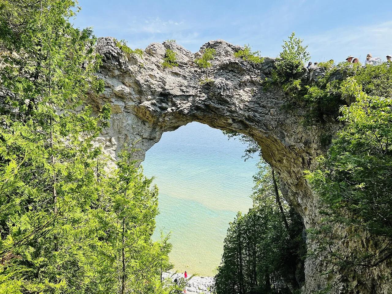
Mackinac Island State Park · Midwest & Great Lakes · Michigan
Car-free 8.2-mile shoreline bicycle highway circling Lake Huron limestone bluffs and the 146-foot natural breccia span of Arch Rock.
Photo: Rupashibangla · Public domain