Canyon
Tallulah Gorge State Park · South & Gulf Coast · Georgia
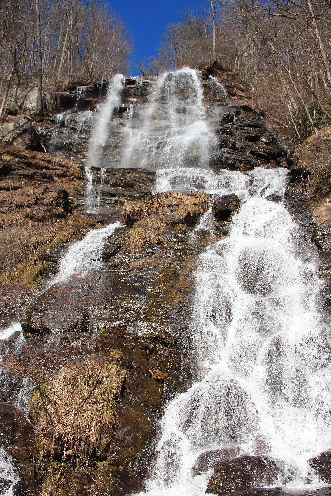
Tallulah Gorge Rim & Hurricane Falls
1,000-foot-deep quartzite canyon spanned by a swaying suspension bridge high above Hurricane Falls.
- Route
- 2.6 mi
- Climb
- 640 ft
Browse & Discover
Ocean-bluff campgrounds, desert boulders and redwood picnic groves.
7 of 2,051 places
Drag to pan. Double-click, pinch or scroll to zoom. Keyboard: arrow keys and +/−. Cards below remain available.
Loading map… Browse the spot cards below at any time.
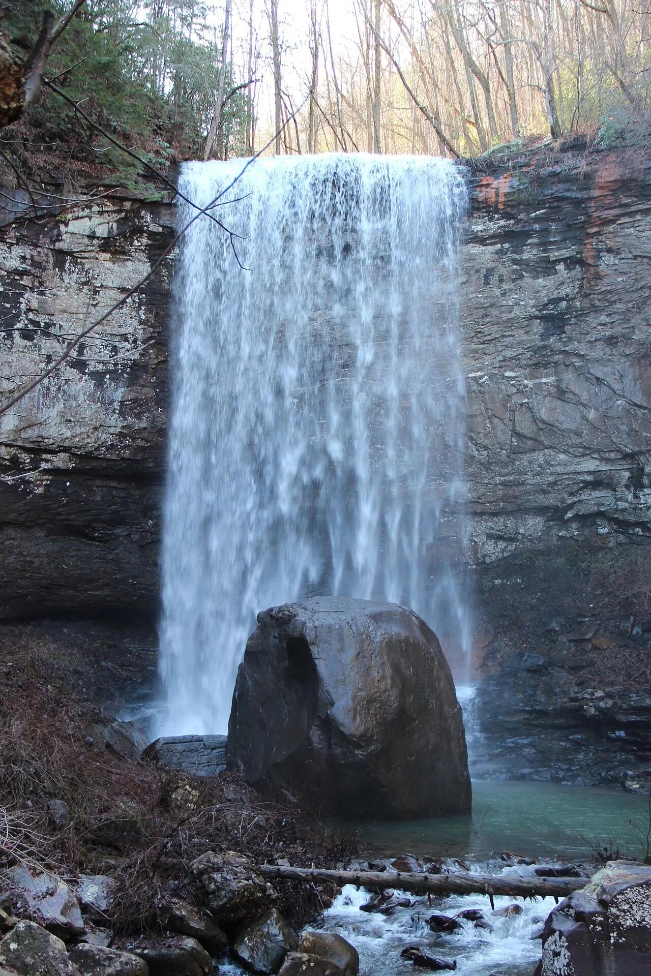
Cloudland Canyon State Park (Lookout Mountain) · Appalachian & Blue Ridge · Georgia
600-step steel staircase descending into a 1,000-foot sandstone gorge on the western edge of Lookout Mountain to twin plunging waterfalls.
Photo: Thomsonmg2000 · Public domain
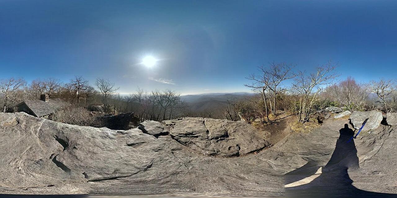
Chattahoochee National Forest (Blairsville) · Appalachian & Blue Ridge · Georgia
Highest peak on the Georgia section of the Appalachian Trail (4,458 ft), crowned by an iconic 1934 CCC stone cabin and granite slab vistas.
Photo: Allen Lyons · CC BY 3.0

Chattahoochee-Oconee National Forest · Appalachian & Blue Ridge · Georgia
Highest natural point in Georgia (4,784 ft), where a steep stunted-oak and rhododendron trail climbs to a 360-degree four-state observation deck.
Photo: Anthony Rizzo · CC BY-SA 4.0
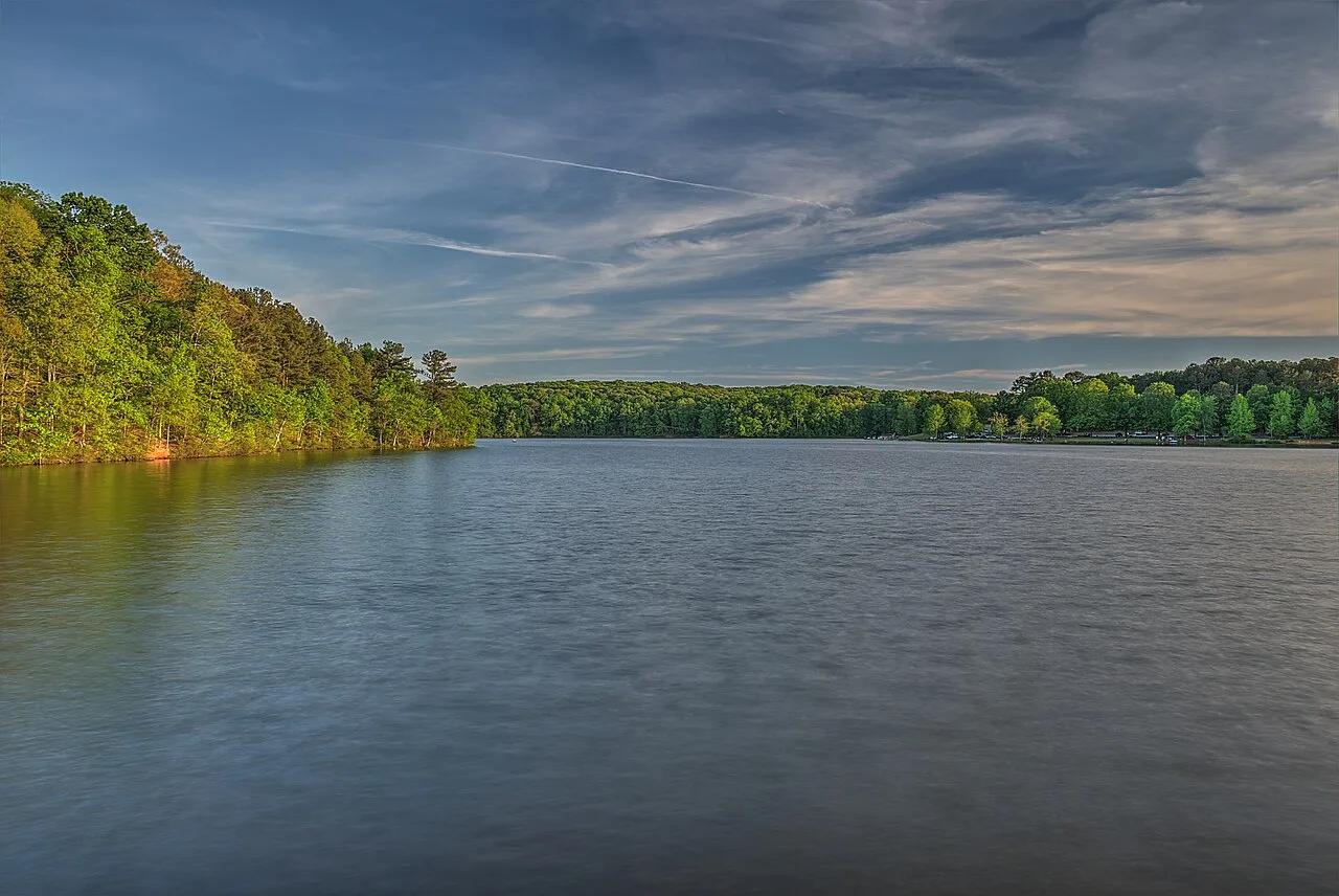
Sweetwater Creek State Park (Lithia Springs) · Appalachian & Blue Ridge · Georgia
Five-story brick ruins of an 1849 textile mill overlooking Class IV crystalline rapids of Sweetwater Creek just 15 miles west of downtown Atlanta.
Photo: Dsdugan · CC BY-SA 4.0