Willamette National Forest · Pacific Northwest · Oregon
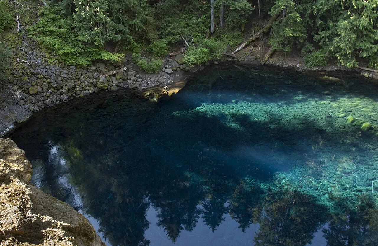
Tamolitch Blue Pool (McKenzie River)
Neon topaz-blue spring basin where the underground McKenzie River resurfaces through porous basalt lava fields.
- Route
- 4.2 mi
- Climb
- 312 ft
Browse & Discover
Alpine lakes, river swimming holes, kayak launches and piers.
49 of 2,051 places
Drag to pan. Double-click, pinch or scroll to zoom. Keyboard: arrow keys and +/−. Cards below remain available.
Loading map… Browse the spot cards below at any time.

Willamette National Forest · Pacific Northwest · Oregon
Neon topaz-blue spring basin where the underground McKenzie River resurfaces through porous basalt lava fields.
Photo: Bonnie Moreland from Oregon, United States · Public domain

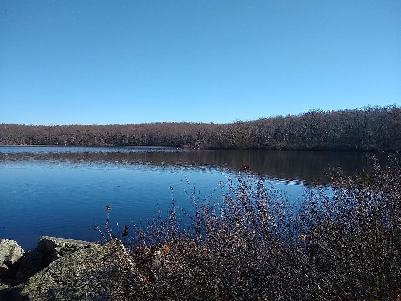
Worthington State Forest / Delaware Water Gap · Skylands / Kittatinny Ridge · New Jersey
A 28-acre pristine glacial tarn perched 1,000 feet above the Delaware River on the Appalachian National Scenic Trail.
Photo: Vanalii · CC BY-SA 4.0

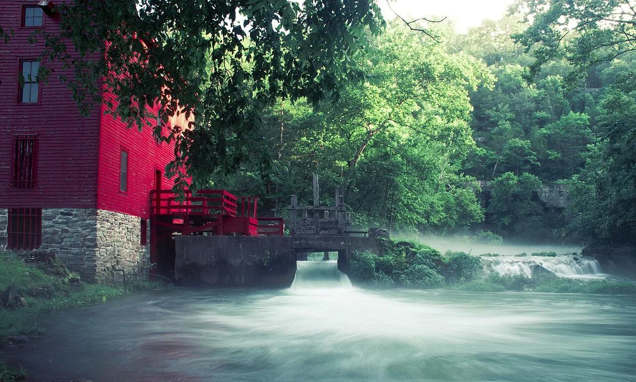
Ozark National Scenic Riverways · Ozarks · Missouri
Picture-postcard 1894 scarlet grist mill perched over an electric-blue subterranean spring basin producing 81 million gallons of 57-degree water daily.
Photo: 28Prozent · CC BY-SA 4.0

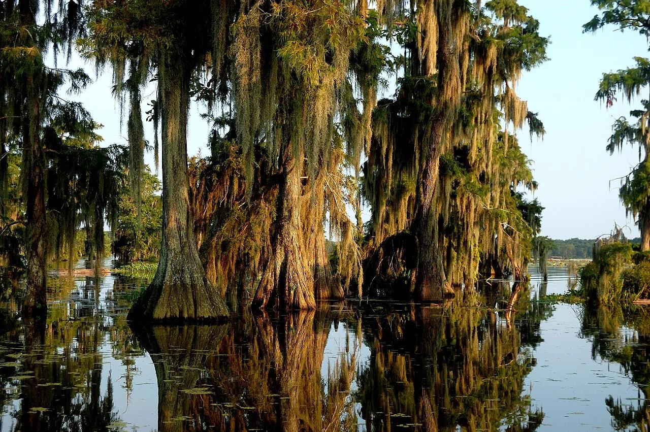
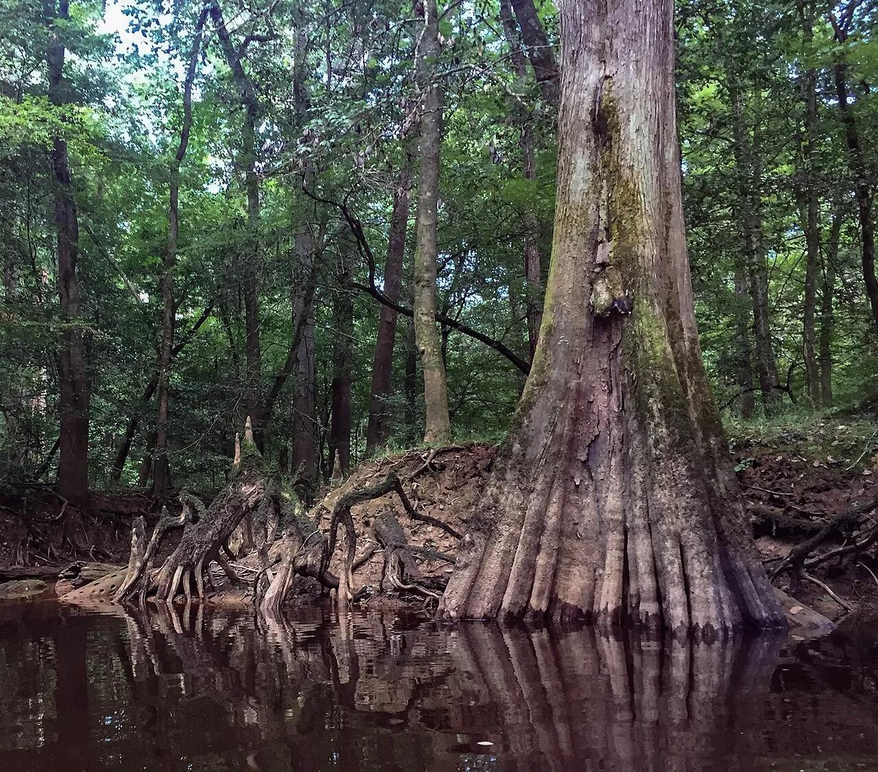
Cypress Island Preserve (Breaux Bridge) · South & Gulf Coast · Louisiana
Ancient mossy tupelo-cypress swamp sanctuary hosting thousands of nesting roseate spoonbills, egrets, and alligators along a placid kayak loop.
Photo: Pierre5018 · CC BY-SA 4.0

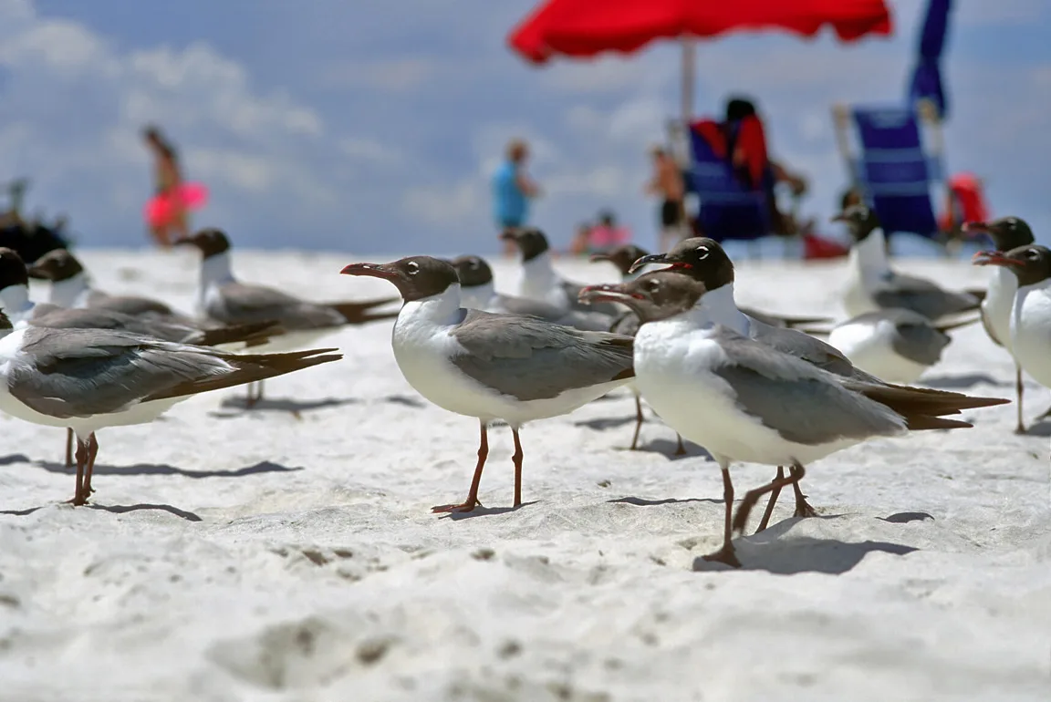
Gulf Islands National Seashore (Ocean Springs) · Atlantic & Gulf Coasts · Mississippi
Live-oak maritime forest boardwalks and calm salt-marsh bayou kayak loops along the Mississippi Sound.
Photo: LASZLO ILYES from Cleveland, Ohio, USA · CC BY 2.0

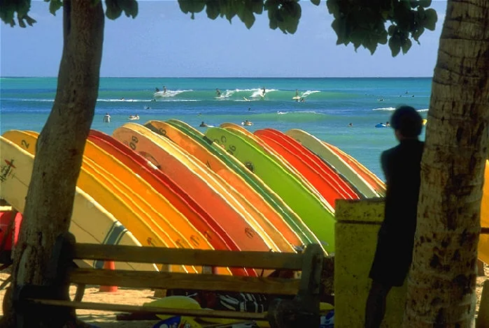
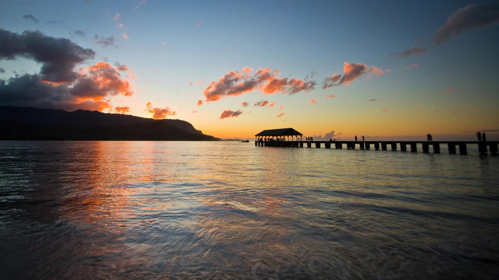
Waikiki Beach · Hawaii
The birthplace of modern surfing made legendary by Duke Kahanamoku, featuring gentle rolling rollers beneath Diamond Head.
Photo: No machine-readable author provided. Nowic assumed (based on copyright claims). · Public domain

Cossatot River State Park-Natural Area (Ouachita Mountains) · South & Gulf Coast · Arkansas
Upturned vertical slabs of Arkansas novaculite creating six consecutive Class IV ledges and crystal-clear turquoise bedrock swimming pools.
Photo: Jamie Camp, U.S. Army Corps of Engineers · Public domain

Wharton State Forest · Pine Barrens · New Jersey
Amber cedar-water paddling and quiet pine-oak sandy trails through 122,000 acres of the UNESCO-designated Pinelands Biosphere Reserve.
Photo: Wikimedia Commons Contributor · CC BY-SA 3.0

Pascagoula River Audubon Center · South & Gulf Coast · Mississippi
The largest unimpeded free-flowing river system in the contiguous United States, explored via cypress bayou kayak trails and marsh piers.
Photo: Fredlyfish4 · CC BY-SA 4.0

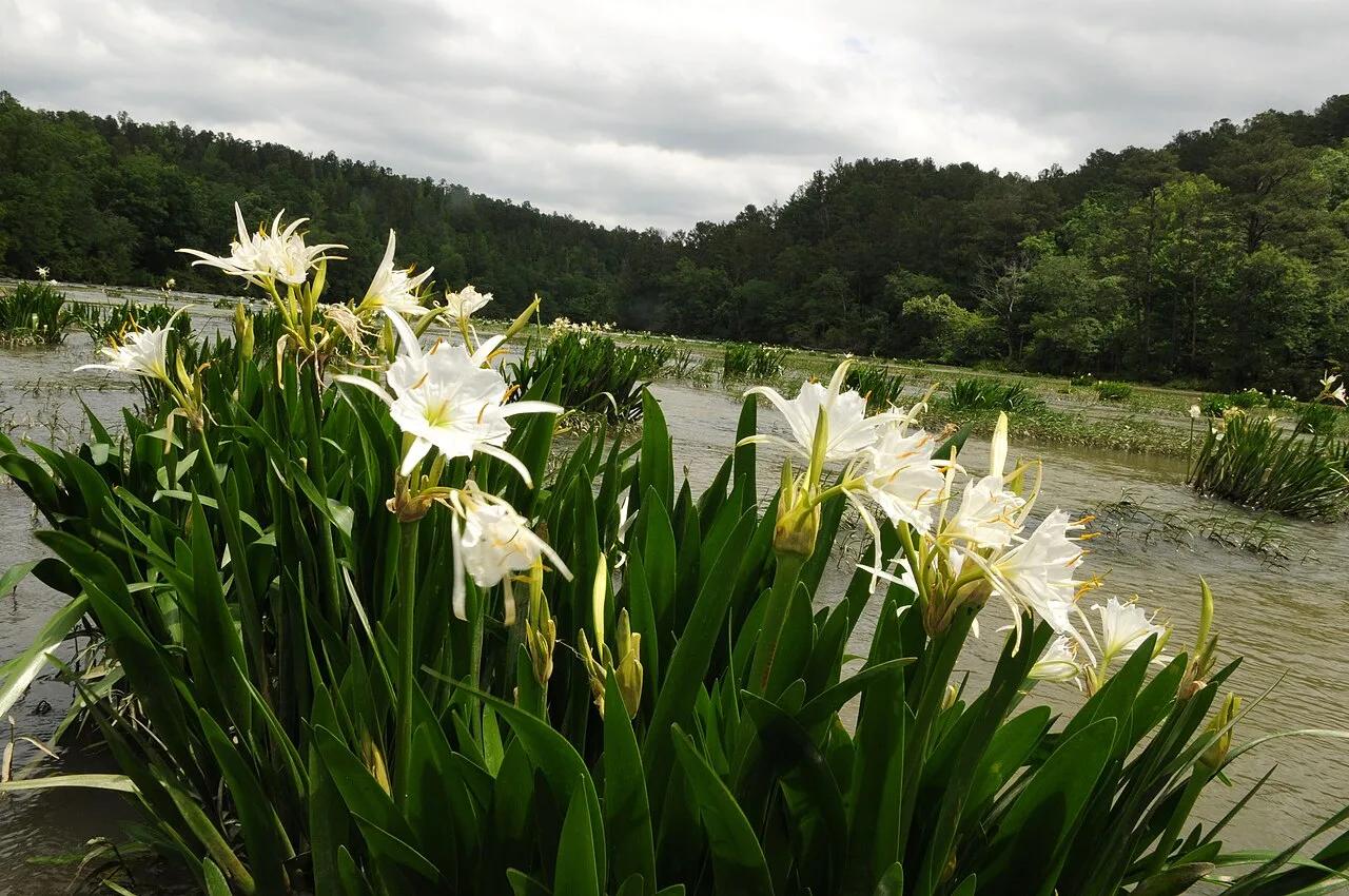
Cahaba River National Wildlife Refuge (West Blocton) · South & Gulf Coast · Alabama
Free-flowing sandstone shoals supporting the world's largest stand of rare fragrant white Cahaba lilies (Hymenocallis coronaria) each May and June.
Photo: U.S. Fish and Wildlife Service Southeast Region · Public domain

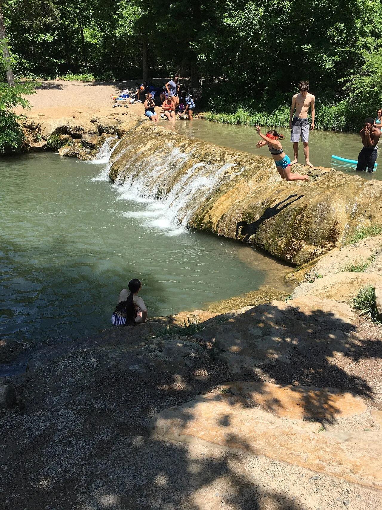
Chickasaw National Recreation Area (Sulphur) · Arbuckle Mountains · Oklahoma
Idyllic turquoise swimming hole fed by cold, mineral-rich artesian springs bubbling over travertine limestone waterfalls in Platt Historic District.
Photo: Jonathan Schilling · CC BY-SA 4.0

Sam D. Hamilton Noxubee National Wildlife Refuge · South & Gulf Coast · Mississippi
1,200-acre cypress-ringed wildlife refuge lake with overwater boardwalks, osprey platforms, and bottomland hardwood trails.
Photo: U.S. Fish and Wildlife Service Southeast Region · Public domain

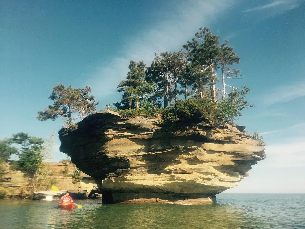
Pointe Aux Barques / Port Austin Waters · The Thumb · Michigan
Spectacular mushroom-shaped sea stack carved by Lake Huron wave action, crowned with 20-foot trees and reachable only by kayak along limestone sea caves.
Photo: thumbwind · CC BY 2.0

Ozark National Scenic Riverways (Akers) · Midwest & Great Lakes · Missouri
120-million-gallon-per-day turquoise cave spring emerging beneath 1930s stone walls built directly over the mouth of a cool karst cavern on the Current River.
Photo: Kbh3rd · CC BY-SA 3.0

Radnor Lake State Natural Area (Nashville) · Appalachian & Blue Ridge · Tennessee
1,368-acre protected Class II Natural Area sanctuary of car-free lakeside boardwalks, bald eagle observation decks, and steep Overton Hills ridges.
Photo: Brian Stansberry · CC BY 3.0

Pacifica Sharp Park Beachfront · San Francisco Bay Area
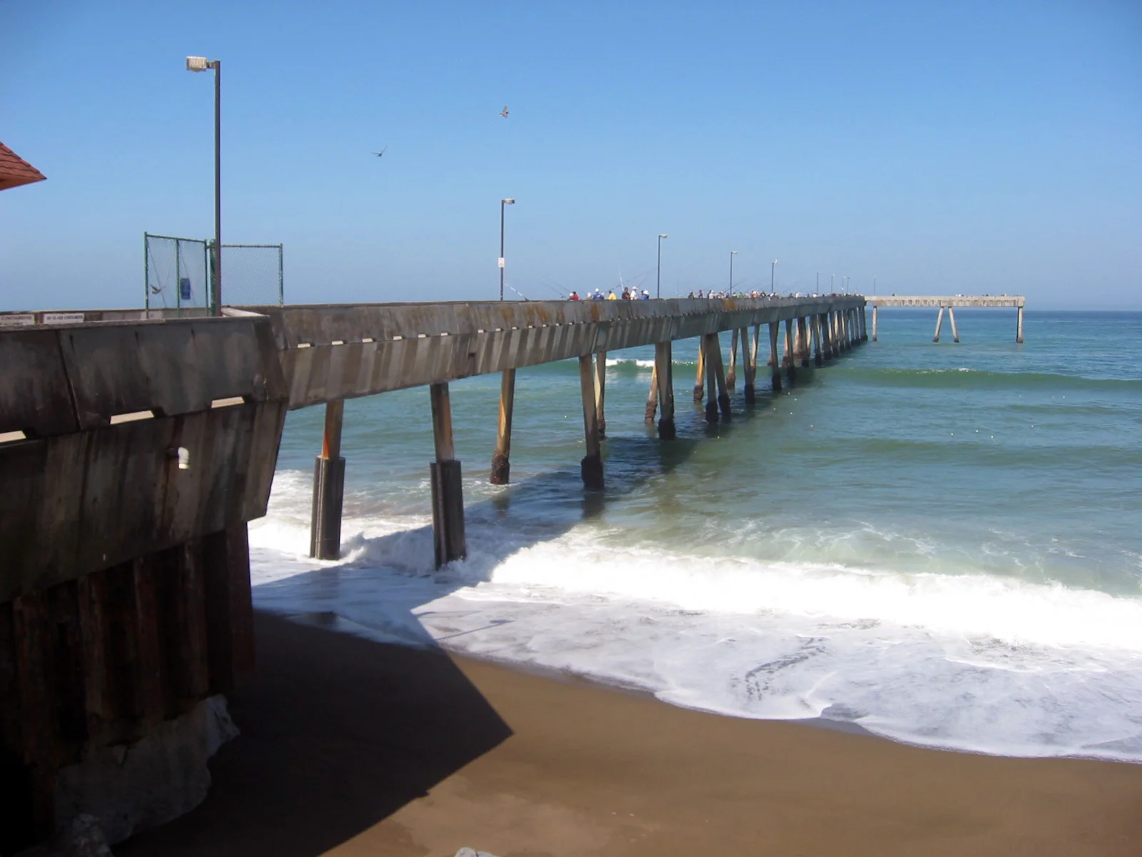
Famous ocean fishing pier jutting a quarter-mile into the Pacific, celebrated as California's best pier for catching salmon and Dungeness crab.
Photo: California Department of Fish and Wildlife from Sacramento, CA, USA · CC BY 2.0

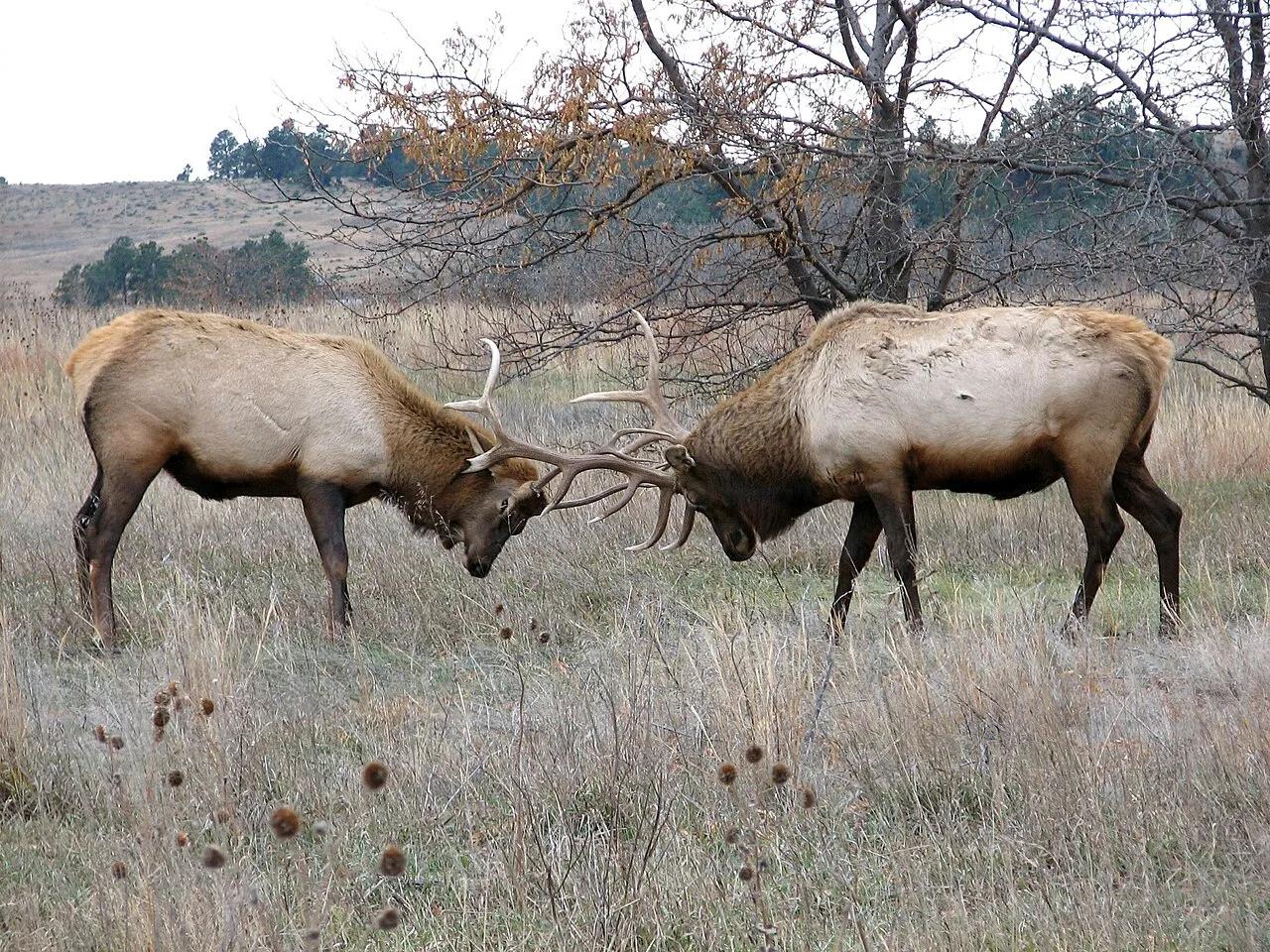
Fort Niobrara National Wildlife Refuge (Valentine) · Great Plains & Heartland · Nebraska
Spring-fed canyon waterfall and easy 9-mile scenic river float past Brule clay cliffs, ponderosa pines, and paper birches.
Photo: U.S. Fish and Wildlife Service Headquarters · Public domain

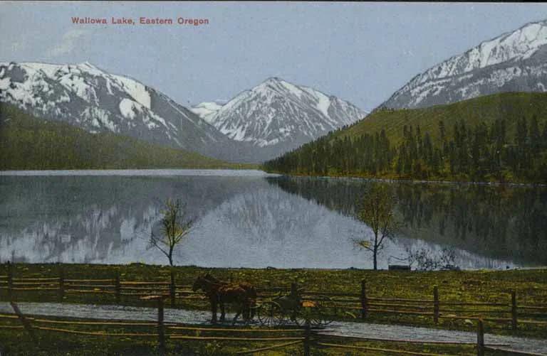
Wallowa Lake State Park / Eagle Cap Wilderness · Pacific Northwest · Oregon
Perfect ribbon lake dammed by textbook lateral glacial moraines beneath the 9,800-foot peaks of the Wallowa Mountains.
Photo: Unknown authorUnknown author · Public domain