Ozark-St. Francis National Forest · South & Gulf Coast · Arkansas
Whitaker Point (Hawksbill Crag)
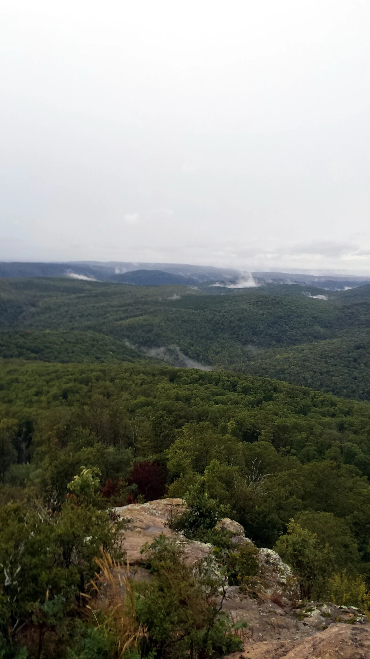
Iconic beak-shaped sandstone prow jutting 100 feet out over the forested Upper Buffalo Wilderness of the Ozark Mountains.
- Route
- 3 mi
- Climb
- 427 ft
Browse & Discover
Overlooks, natural arches, sea caves, groves and wildlife reserves.
9 of 2,051 places
Drag to pan. Double-click, pinch or scroll to zoom. Keyboard: arrow keys and +/−. Cards below remain available.
Loading map… Browse the spot cards below at any time.

Ozark-St. Francis National Forest · South & Gulf Coast · Arkansas
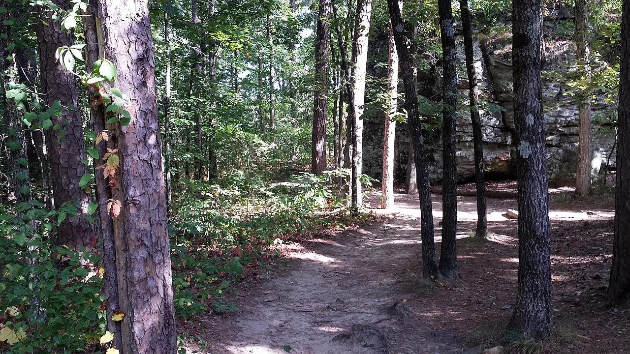
Iconic beak-shaped sandstone prow jutting 100 feet out over the forested Upper Buffalo Wilderness of the Ozark Mountains.
Photo: Tony Webster from Minneapolis, Minnesota, United States · CC BY-SA 2.0

Pinnacle Mountain State Park (Little Rock) · South & Gulf Coast · Arkansas
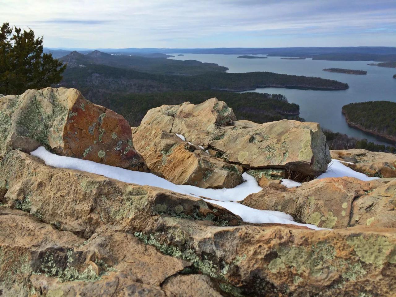
Steep Jackfork Sandstone boulder cone rising 1,011 feet directly above the Arkansas River and Lake Maumelle, accompanied by Monument Trails mountain biking.
Photo: Jason Ronza · CC BY-SA 4.0

Ozark-St. Francis National Forest · South & Gulf Coast · Arkansas
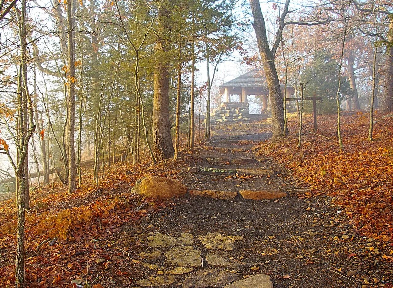
2,300-foot flat-topped sandstone mesa ringed by sheer 200-foot bluffs and historic 1930s CCC stone cabins at the western terminus of the Ozark Highlands Trail.
Photo: Brandonrush · CC BY-SA 3.0

Mount Magazine State Park (Ozark-St. Francis NF) · South & Gulf Coast · Arkansas
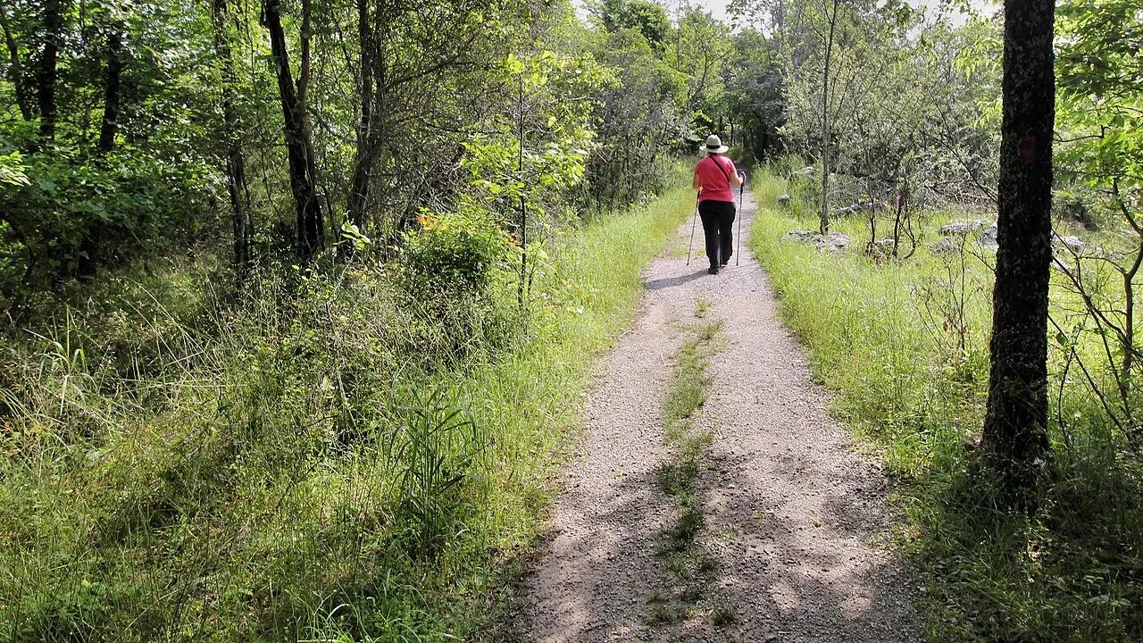
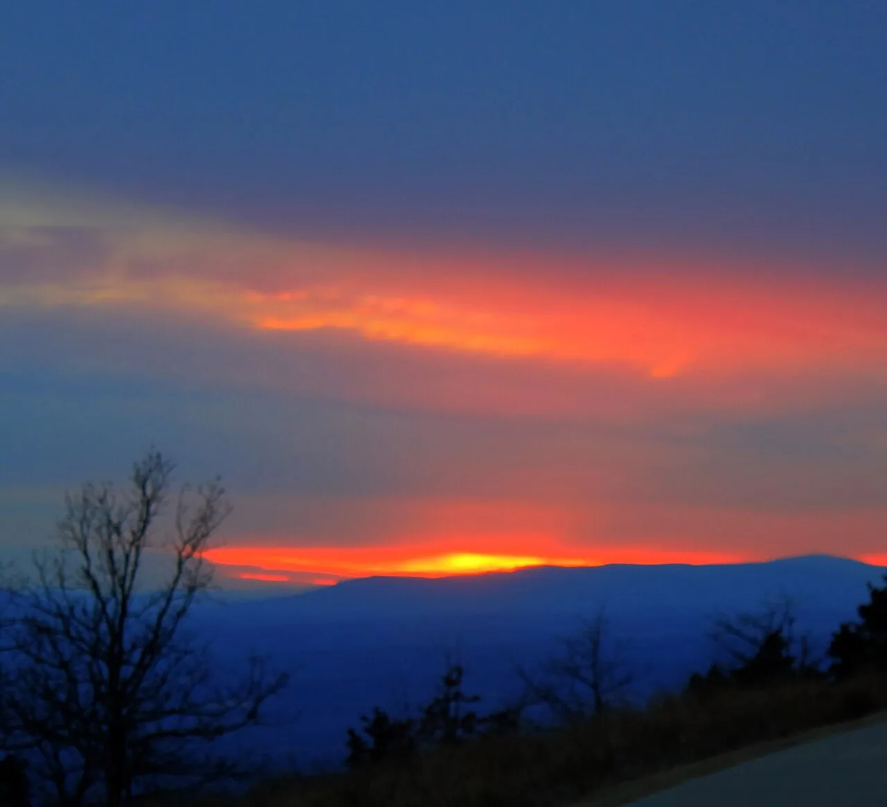
Highest point in Arkansas (2,753 ft) crowned by sheer sandstone hang-gliding cliffs overlooking the Petit Jean River Valley.
Photo: Yinan Chen · Public domain

Ozark-St. Francis National Forest (Fifty-Six) · South & Gulf Coast · Arkansas
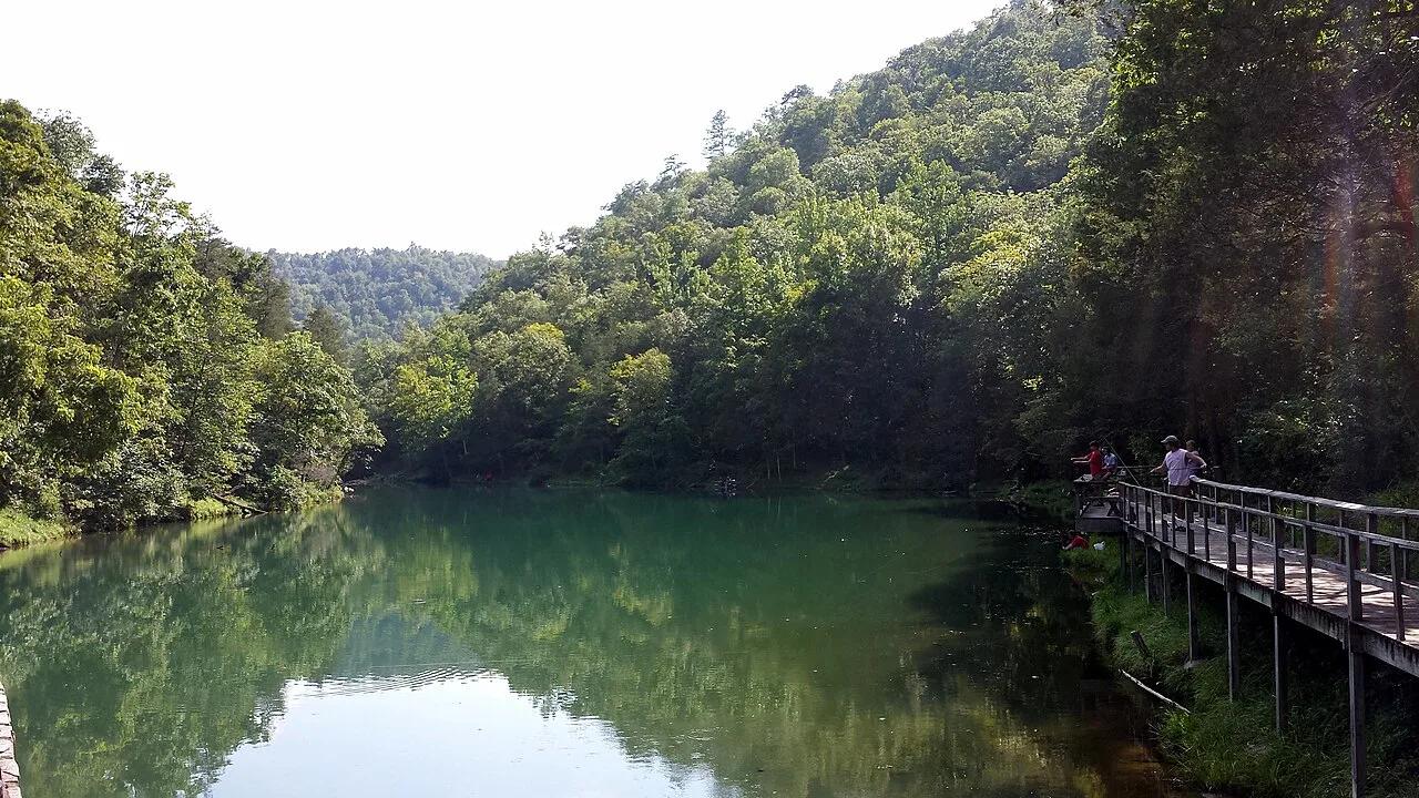
Turquoise spring emerging from a living limestone cavern and cascading over a historic 1930s CCC stone mill dam into trout-filled Mirror Lake.
Photo: Brandonrush · CC BY-SA 4.0