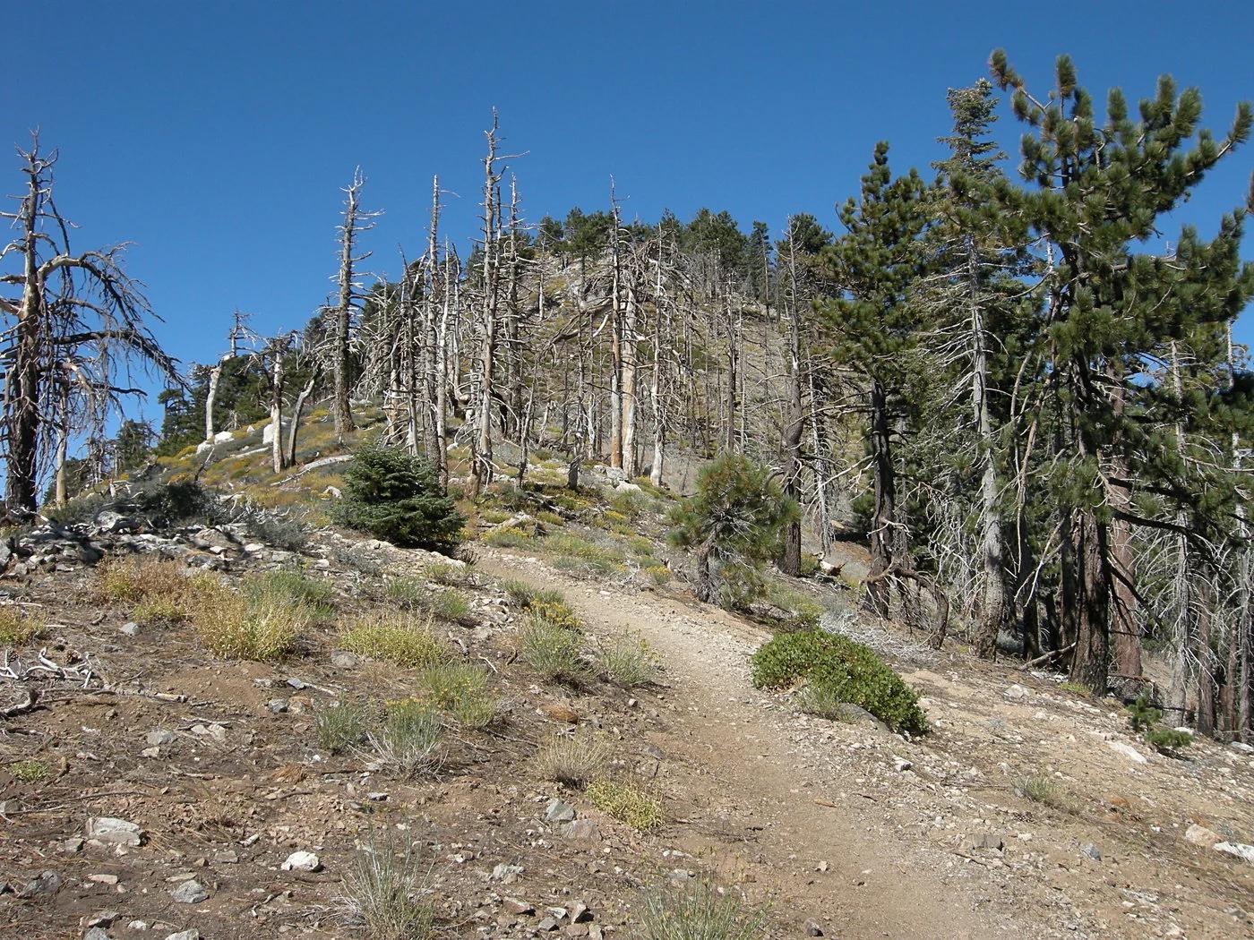
Peak
3 photosAngeles National Forest · San Gabriel Mountains
Mount Islip
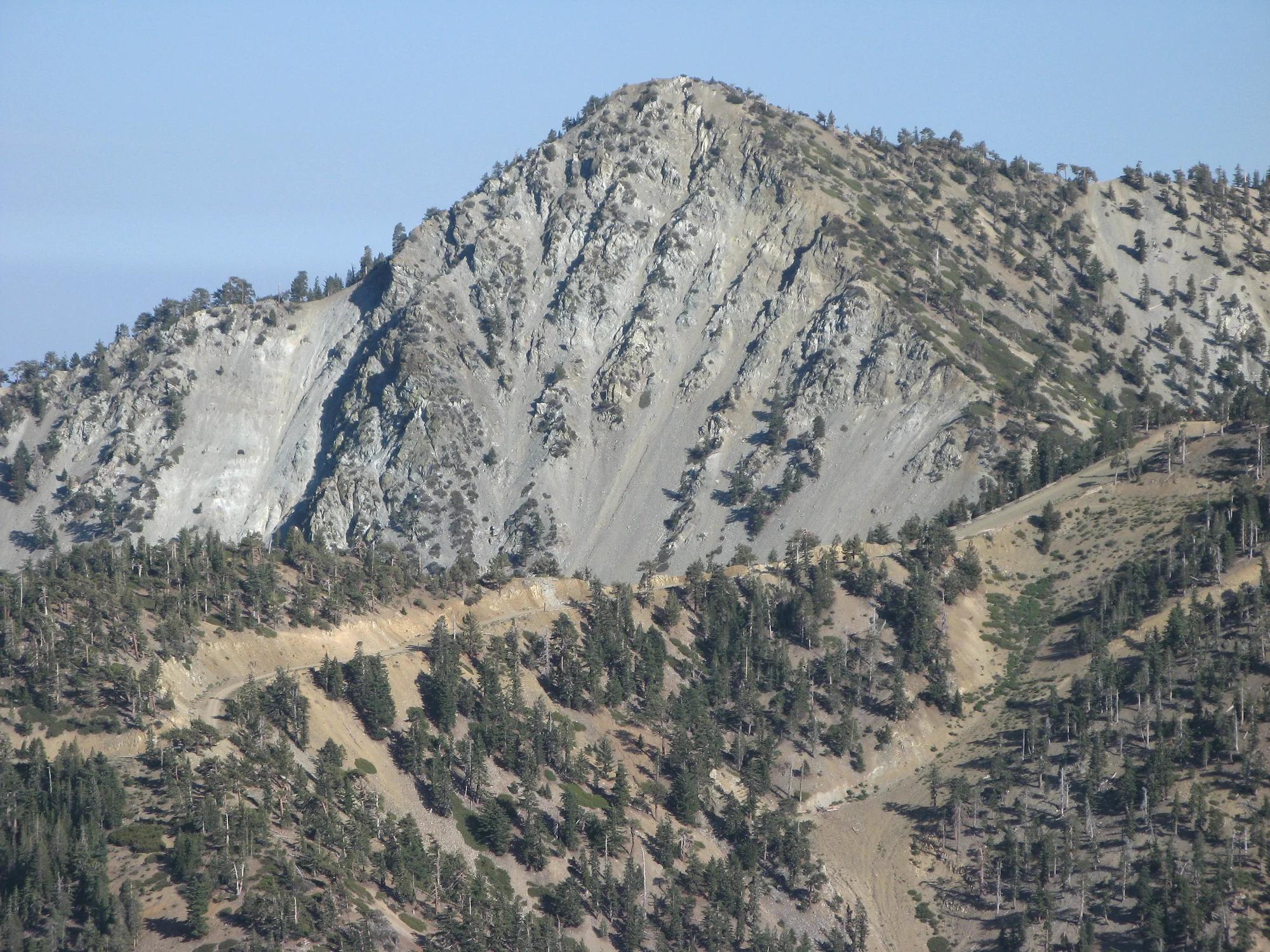
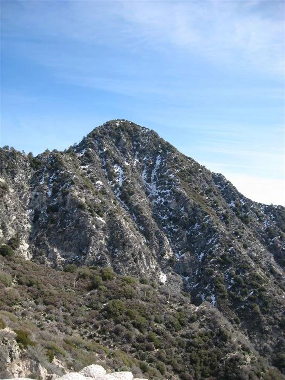
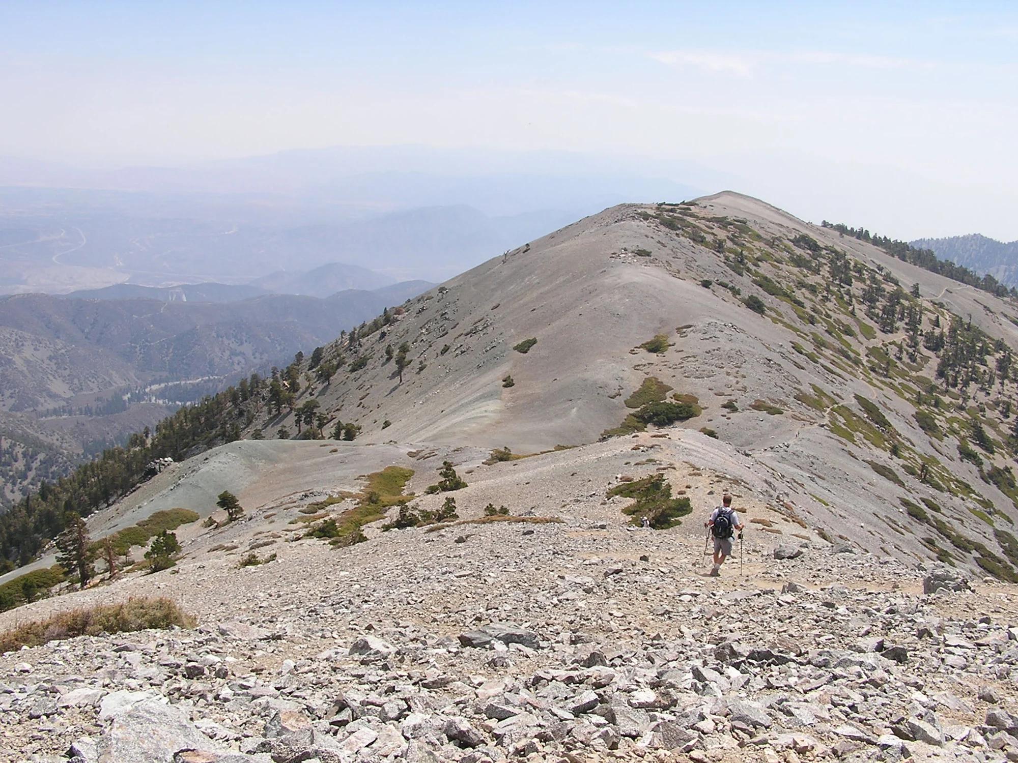
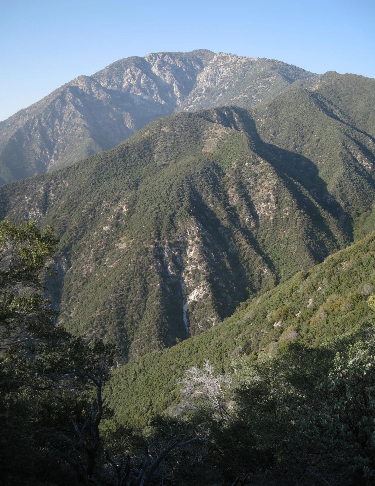
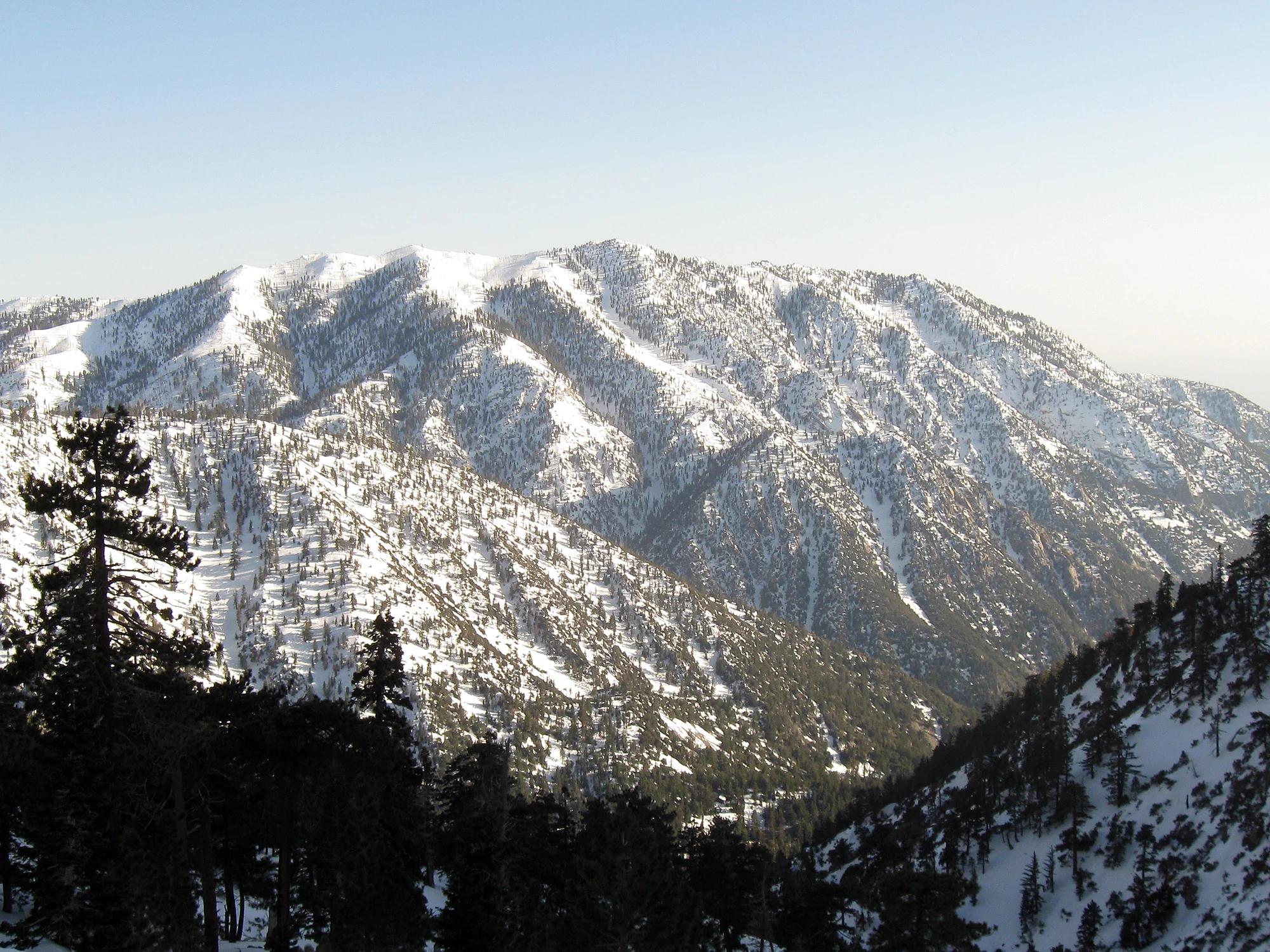
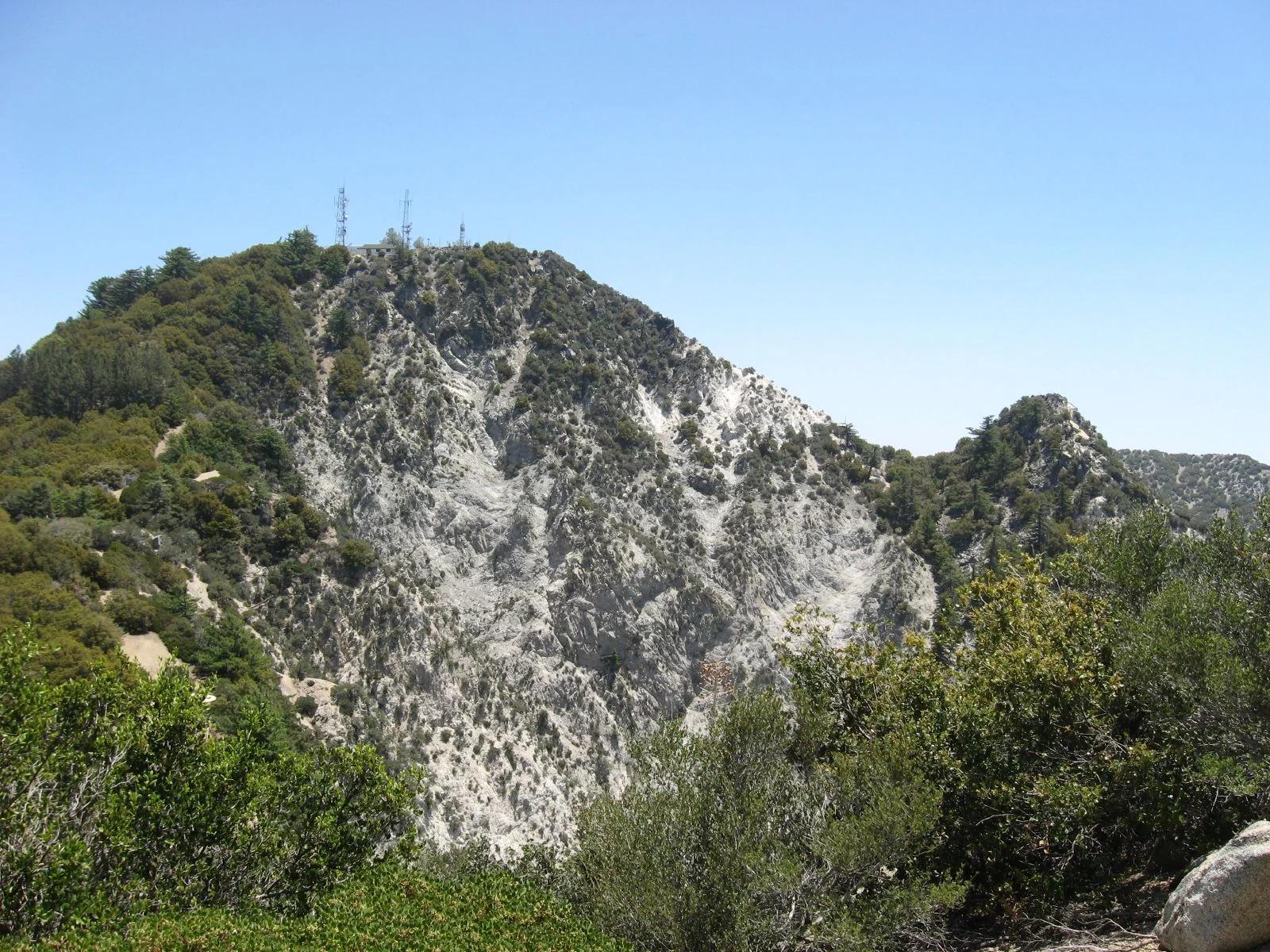
Verified California peak at 8,261 ft in Angeles National Forest (San Gabriel Mountains). Linked to Mt. Islip Trail.
- Route
- 1.1 mi
- Elevation
- 8,261 ft
Browse & Discover
Overlooks, natural arches, sea caves, groves and wildlife reserves.
21 of 2,051 places
Drag to pan. Double-click, pinch or scroll to zoom. Keyboard: arrow keys and +/−. Cards below remain available.
Loading map… Browse the spot cards below at any time.

Eaton Canyon Natural Area
The waterfall at the head of lower Eaton Canyon, reached by a wide wash walk from the Eaton Canyon Nature Center and a final creekside scramble.
[scott.medling or en:user:scott.medling user:scott.medling from California, United States] · CC BY-SA 2.0. Source & image licence

Angeles National Forest
A waterfall of about fifty feet filling the head of a narrow, shaded canyon, a short walk upstream from Millard Campground.
Region 5 Photography · Public domain. Source & image licence

Angeles National Forest
A 50-foot single drop into a shallow plunge pool, 1.7 mi up Big Santa Anita Canyon. Shaded the entire way in. The work is all on the walk out.
U.S. Department of Agriculture / USDA USFS · CC BY 2.0. Source & image licence
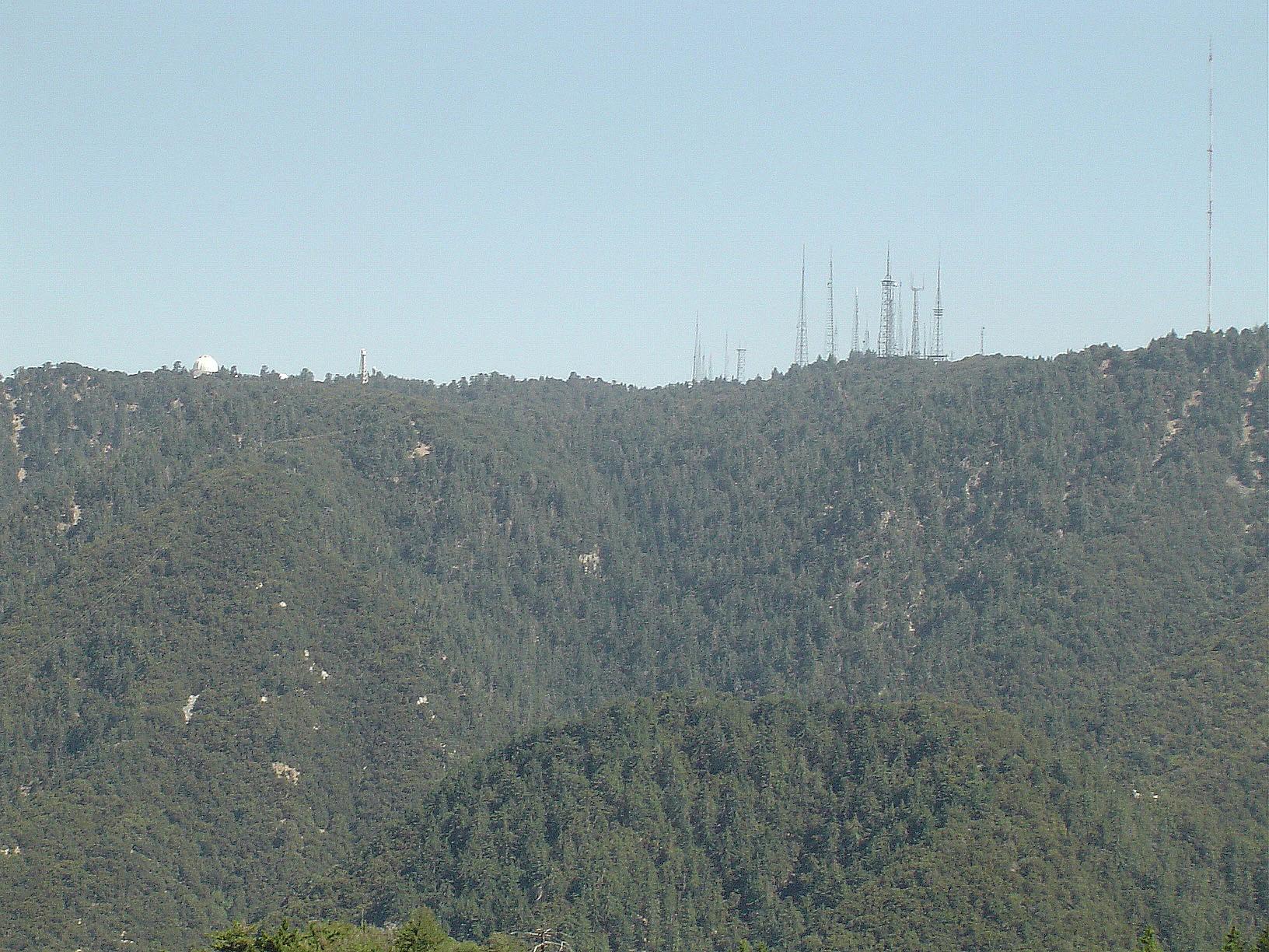
Angeles National Forest · San Gabriel Mountains
Verified California peak at 5,699 ft in Angeles National Forest (San Gabriel Mountains). Linked to Rim Trail.
Photo: The original uploader was Geographer at English Wikipedia . · CC BY 1.0
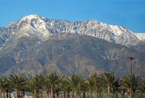
Angeles National Forest · San Gabriel Mountains
Verified California peak at 8,842 ft in Angeles National Forest (San Gabriel Mountains).
Photo: Cliff Hutson ; later cropping and color editing by Daniel Case . · CC BY 2.0
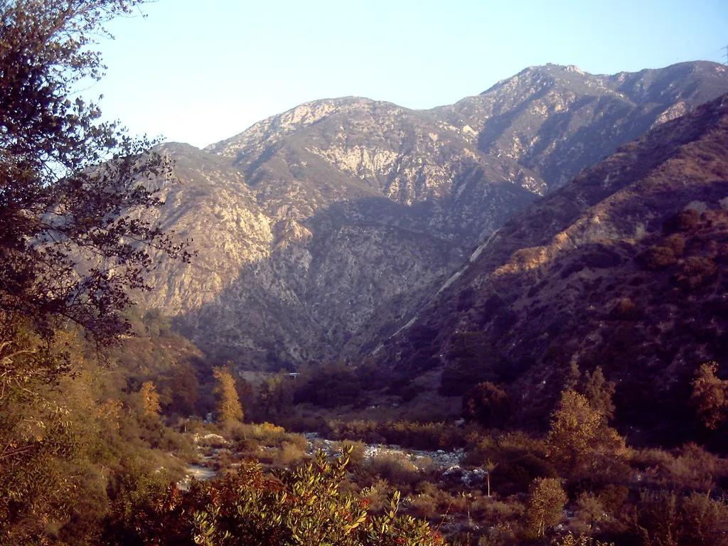
Eaton Canyon Natural Area · San Gabriel Mountains
Waterfall in Eaton Canyon Natural Area (San Gabriel Mountains), about 12 miles northeast of downtown Los Angeles. Typical outing is 3.5 miles with 380 ft of climb. Popular with local hikers and Los Angeles hiking Meetup groups.
Photo: D Sneiders from Temple City, USA · CC BY-SA 2.0
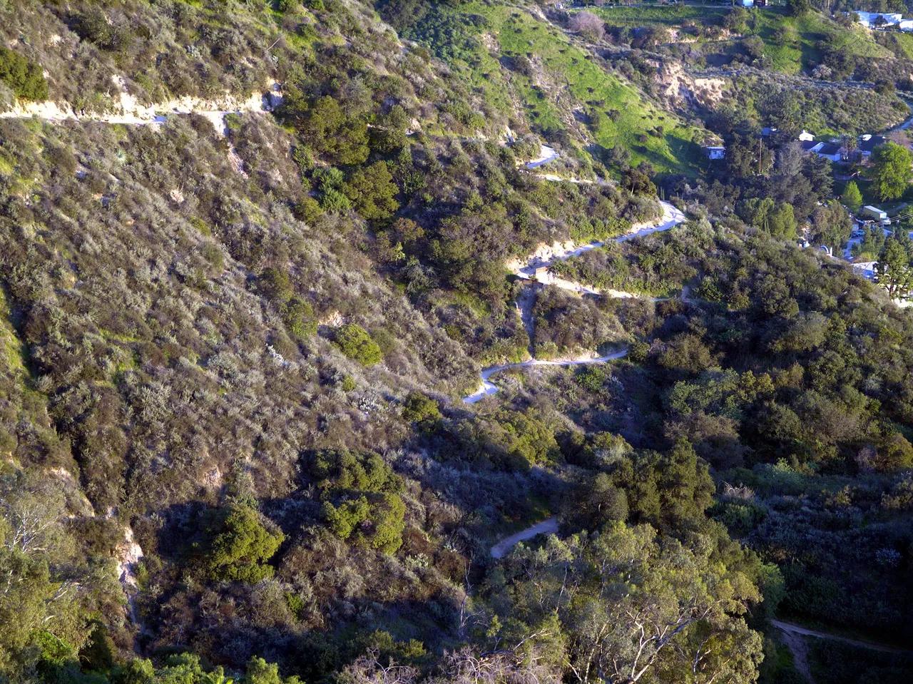
Angeles National Forest · San Gabriel Mountains
Viewpoint in Angeles National Forest (San Gabriel Mountains), about 13 miles northeast of downtown Los Angeles. Typical outing is 5.4 miles with 1,400 ft of climb. Popular with local hikers and Los Angeles hiking Meetup groups.
Photo: Weedwhacker128 · Public domain

Angeles National Forest · San Gabriel Mountains
Waterfall in Angeles National Forest (San Gabriel Mountains), about 13 miles northeast of downtown Los Angeles. Typical outing is 1.2 miles with 180 ft of climb. Popular with local hikers and Los Angeles hiking Meetup groups.
Photo: Region 5 Photography · Public domain
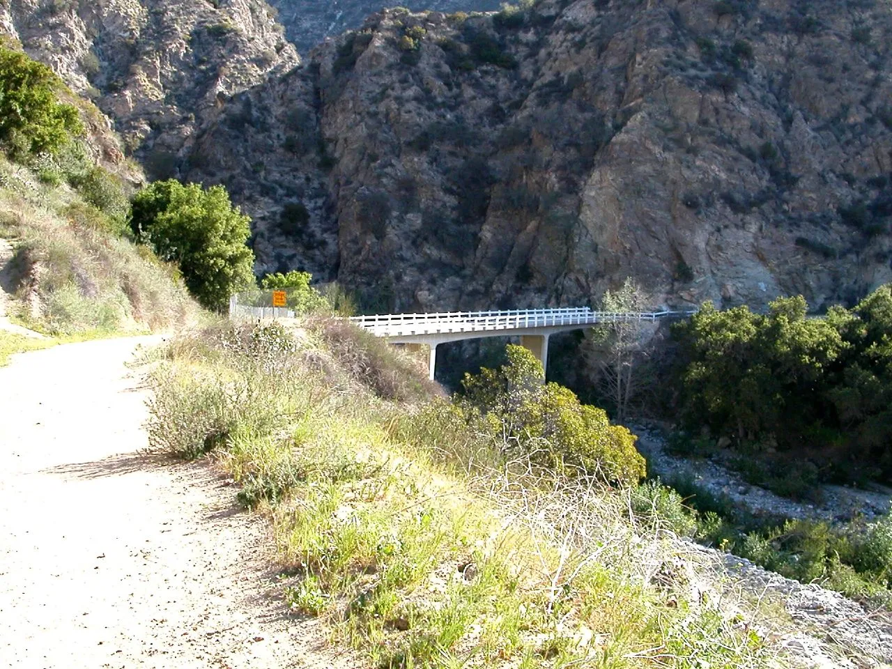
Angeles National Forest · San Gabriel Mountains
Viewpoint in Angeles National Forest (San Gabriel Mountains), about 13 miles northeast of downtown Los Angeles. Typical outing is 5.2 miles with 1,400 ft of climb. Popular with local hikers and Los Angeles hiking Meetup groups.
Photo: USMARINE0311 from California, United States · CC BY-SA 2.0
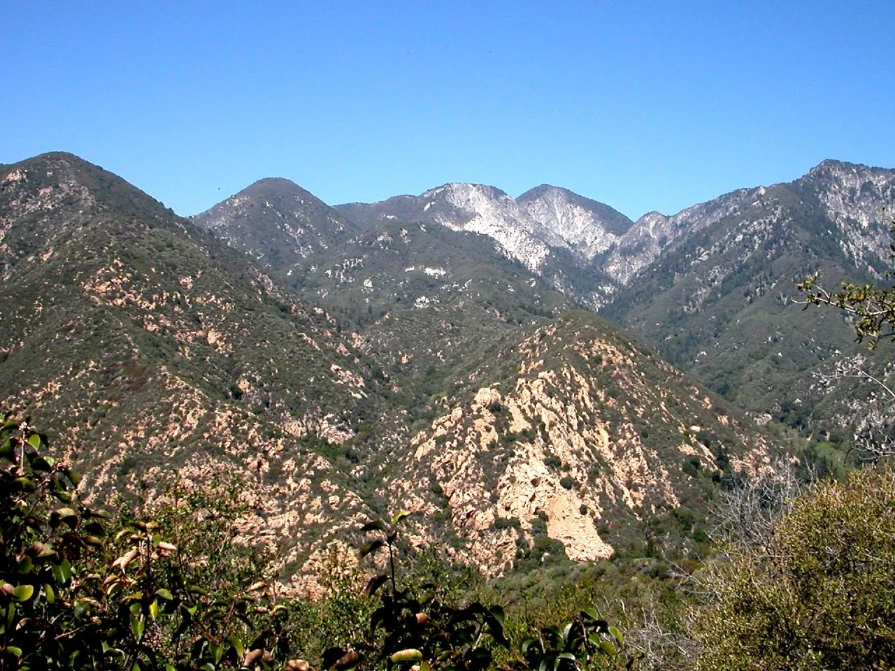
Monrovia Canyon Park · San Gabriel Mountains
Waterfall in Monrovia Canyon Park (San Gabriel Mountains), about 17 miles northeast of downtown Los Angeles. Typical outing is 2.6 miles with 540 ft of climb. Popular with local hikers and Los Angeles hiking Meetup groups.
Photo: USMARINE0311 from USA · CC BY-SA 2.0
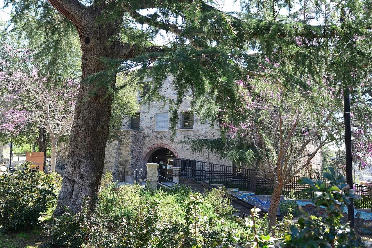
Deukmejian Wilderness Park · San Gabriel Mountains
Nature preserve in Deukmejian Wilderness Park (San Gabriel Mountains), about 13 miles north of downtown Los Angeles. Typical outing is 4.1 miles with 1,150 ft of climb. Popular with local hikers and Los Angeles hiking Meetup groups.
Photo: Joe Mabel · CC BY-SA 4.0
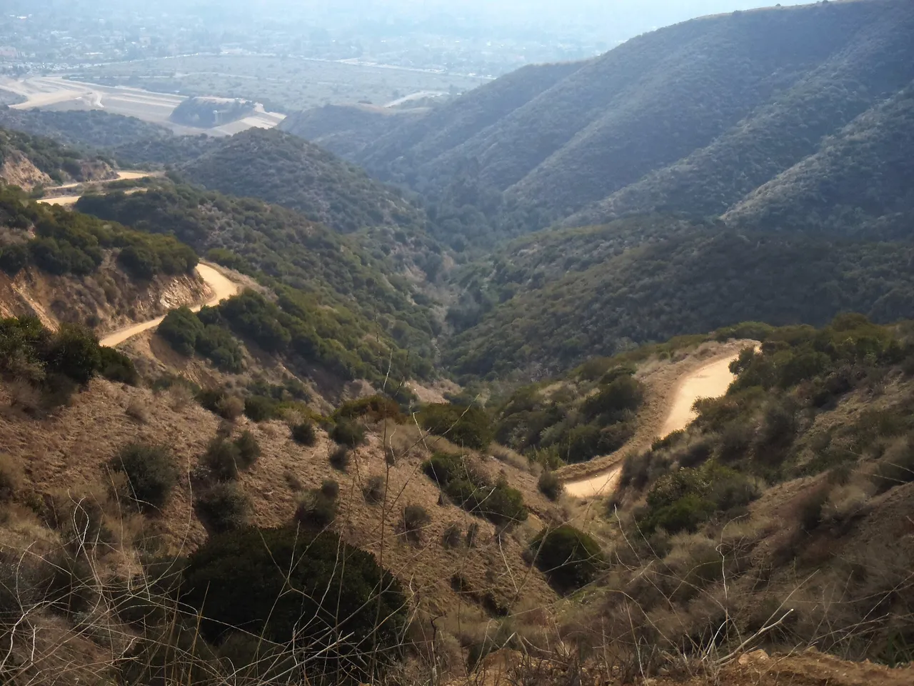
Claremont Hills Wilderness Park · San Gabriel Mountains
Nature preserve in Claremont Hills Wilderness Park (San Gabriel Mountains), about 31 miles east of downtown Los Angeles. Typical outing is 5.0 miles with 880 ft of climb. Popular with local hikers and Los Angeles hiking Meetup groups.
Photo: Brian Altmeyer · CC BY 2.0