Viewpoint
4 photosMontaña de Oro State Park · Central Coast & Big Sur
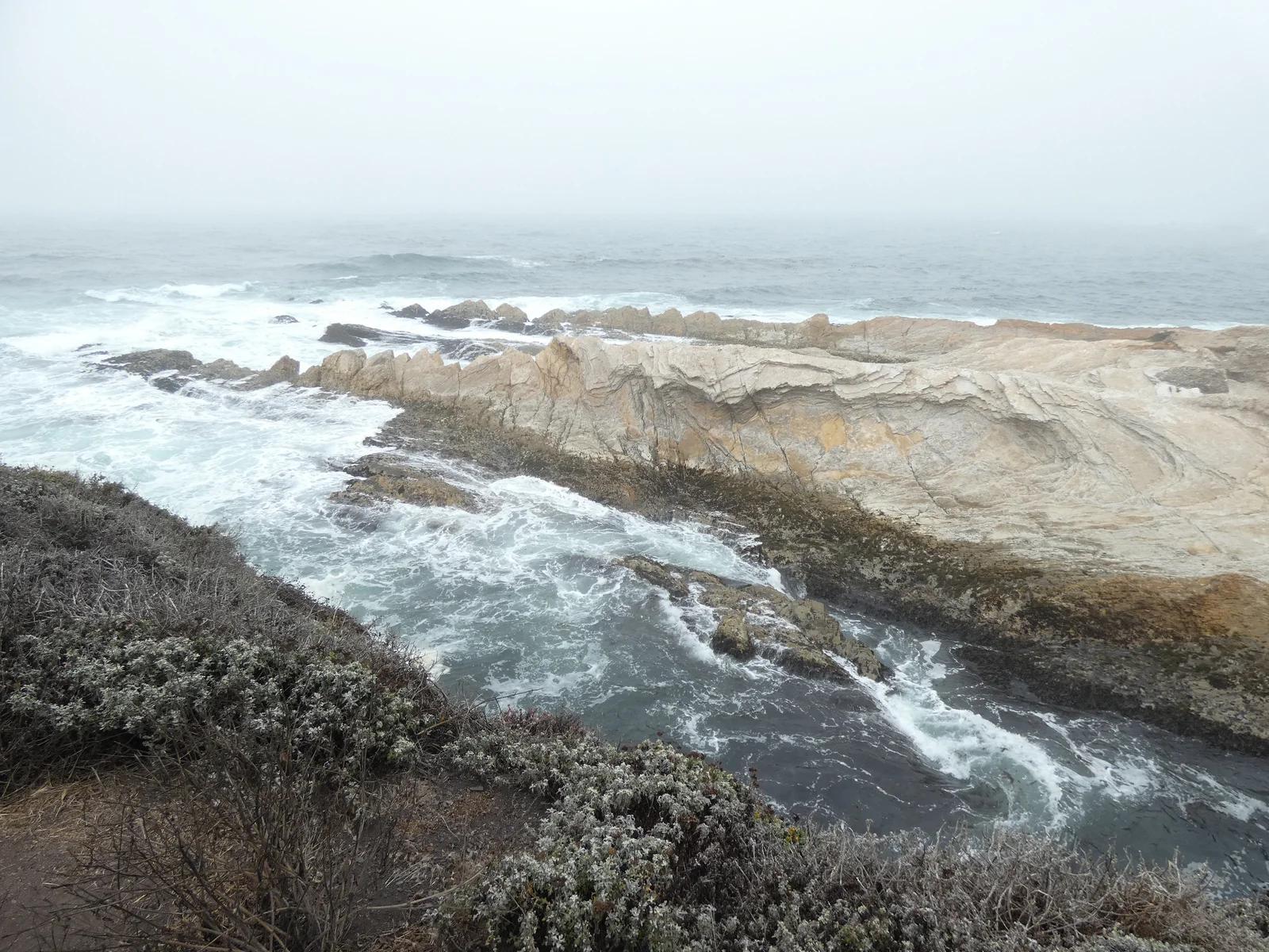
Montaña de Oro Bluff Trail
A flat ocean bluff path hugging jagged rock inlets, arches, tidepools, and blowholes along the rugged San Luis Obispo coast.
- Route
- 3.4 mi
- Climb
- 98 ft
Browse & Discover
Overlooks, natural arches, sea caves, groves and wildlife reserves.
637 of 2,051 places
Drag to pan. Double-click, pinch or scroll to zoom. Keyboard: arrow keys and +/−. Cards below remain available.
Loading map… Browse the spot cards below at any time.
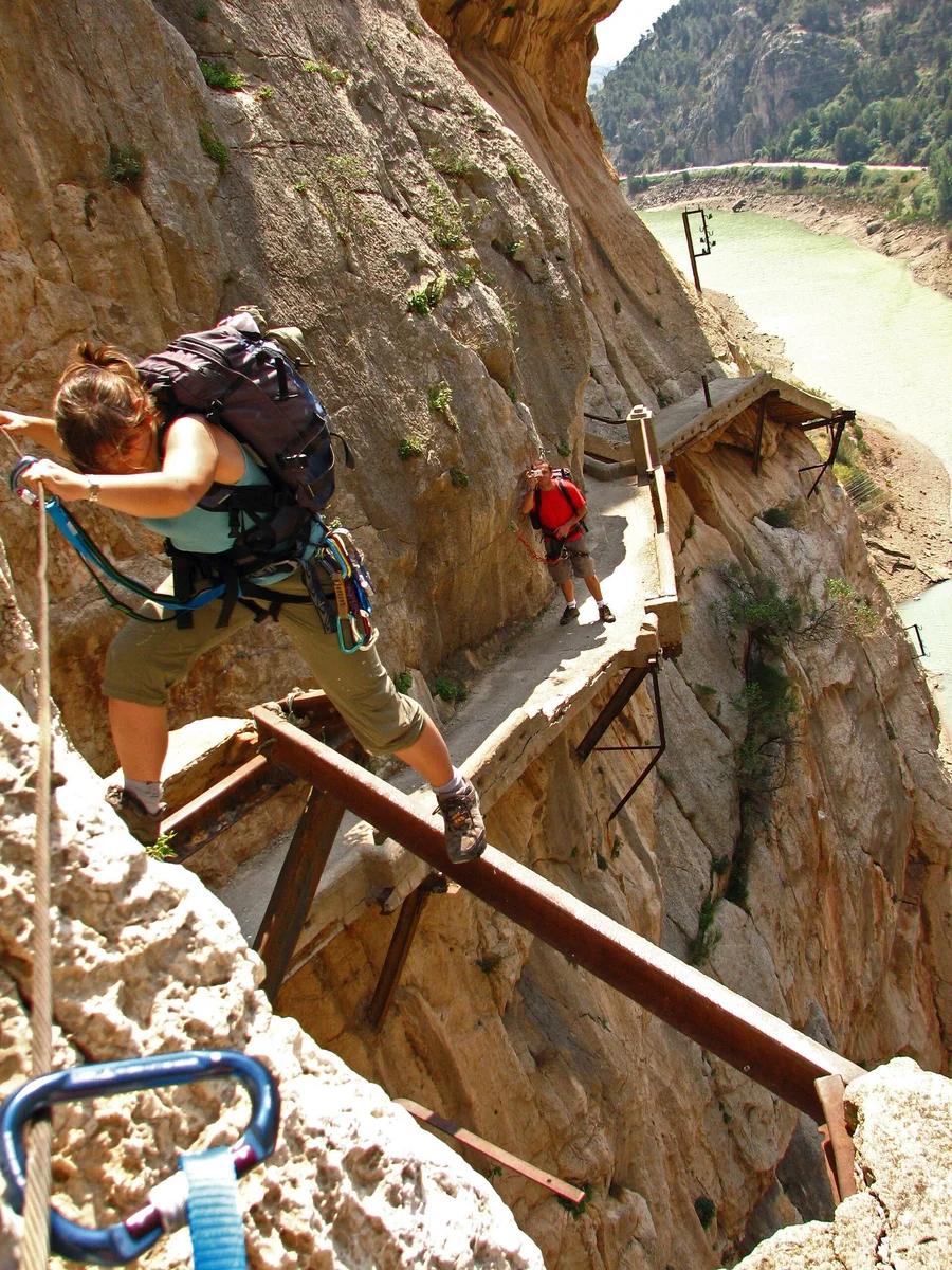
Desfiladero de los Gaitanes Natural Area · Mediterranean & Iberia · Spain
Aerial boardwalk pinned 100 metres above the churning Guadalhorce River through a razor-thin limestone gorge, concluding on a thrilling suspension bridge.
Photo: User Gabirulo on Flickr · CC BY-SA 2.0
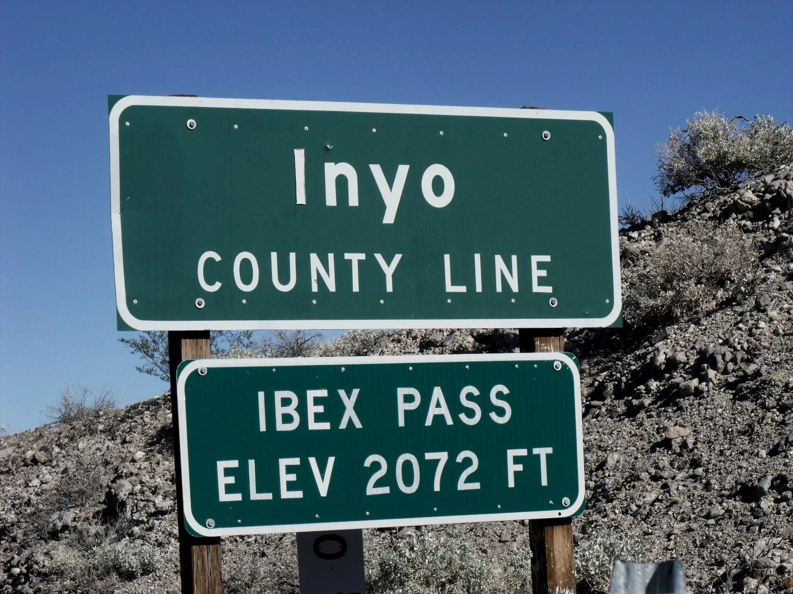
Eastern Sierra
Verified California saddle at 2,072 ft in Eastern Sierra.
Photo: Scottthezombie ( talk ) · CC BY-SA 3.0
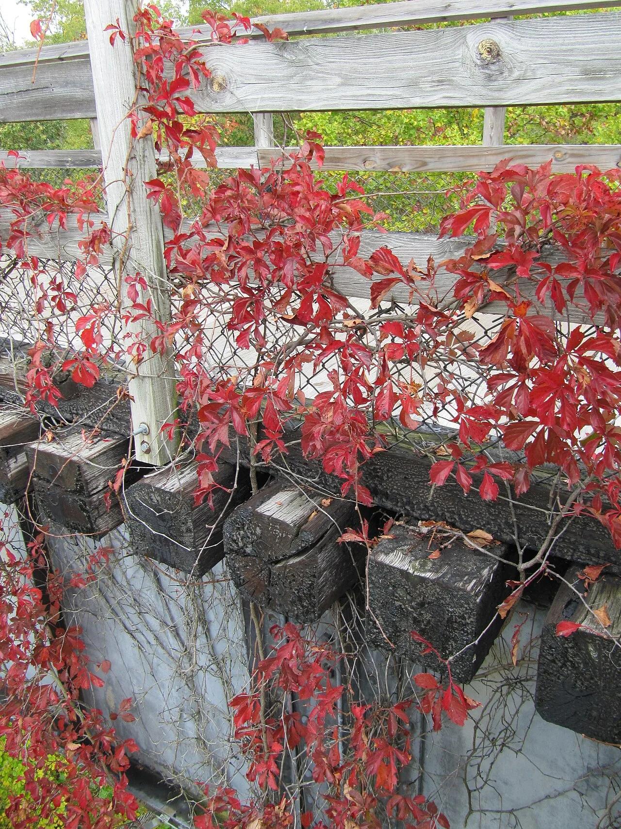
Mount Rogers National Recreation Area · Appalachian & Blue Ridge · Virginia
17-mile downhill rail-trail ride across 30 wooden trestle bridges along rushing Whitetop Laurel Creek from Whitetop Station to Damascus.
Photo: Virginia State Parks staff · CC BY 2.0
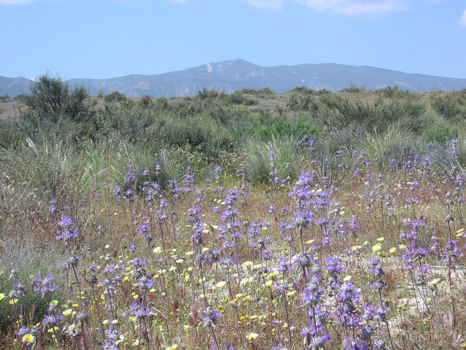
Central Coast
Verified California peak at 5,106 ft in Central Coast.
Photo: Antandrus at English Wikipedia · CC BY-SA 3.0
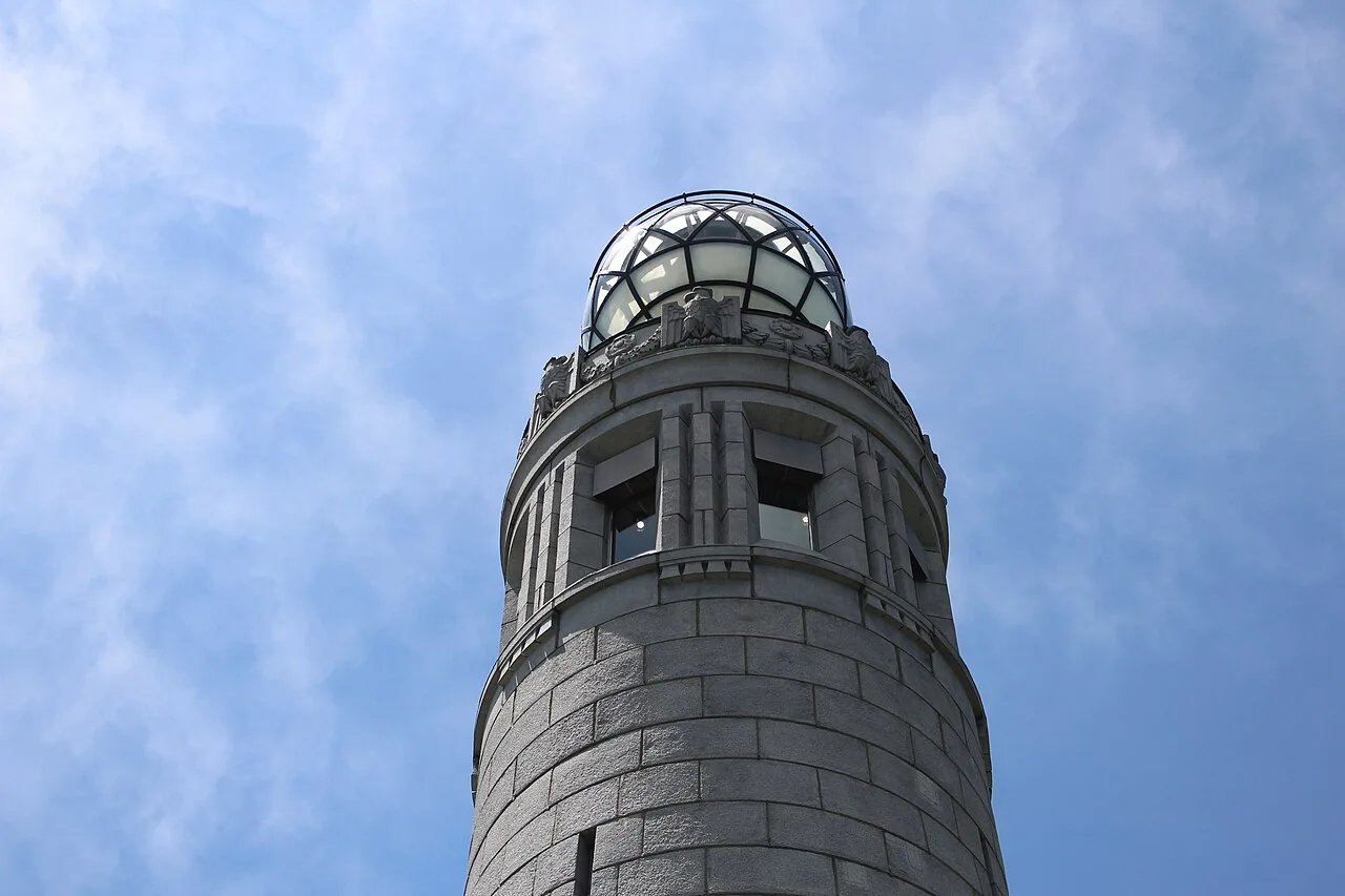
Mount Greylock State Reservation · Northeast & New England · Massachusetts
The highest peak in Massachusetts (3,491 ft), crowned by the 93-foot granite Veterans War Memorial Tower on the Appalachian Trail.
Photo: Vvburen · CC BY-SA 4.0
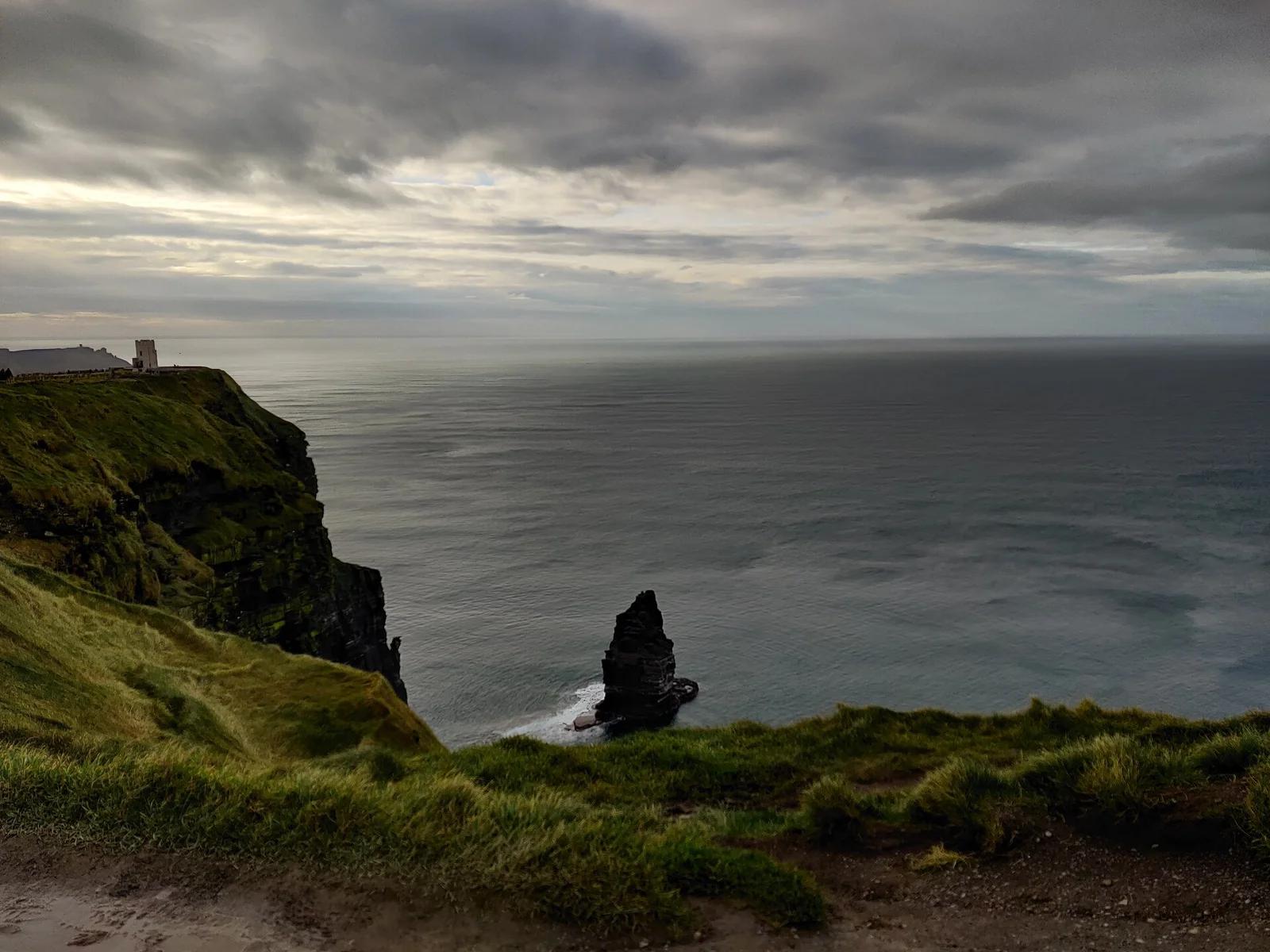
Burren and Cliffs of Moher UNESCO Geopark · UK & Ireland · Ireland
Towering dark shale and sandstone sea ramparts soaring 214 metres straight up from the churning Atlantic Ocean, looking out to the Aran Islands.
Photo: Domi2326 · CC BY-SA 4.0
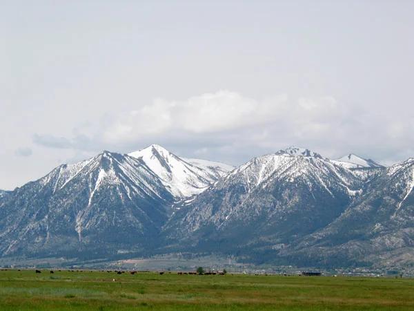
Lake Tahoe & Northern Sierra
Verified California peak at 10,607 ft in Lake Tahoe & Northern Sierra.
Photo: beth woodrum from Kingman, Arizona, USA · CC BY 2.0