Peak
Eldorado National Forest · Lake Tahoe & Northern Sierra
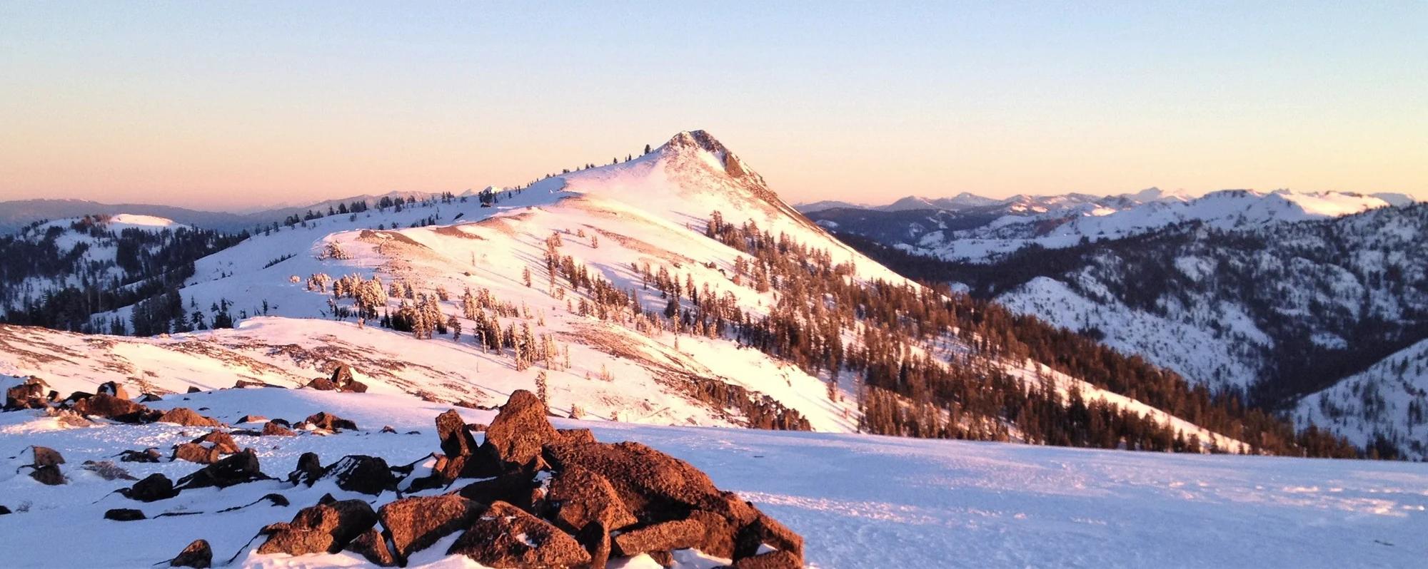
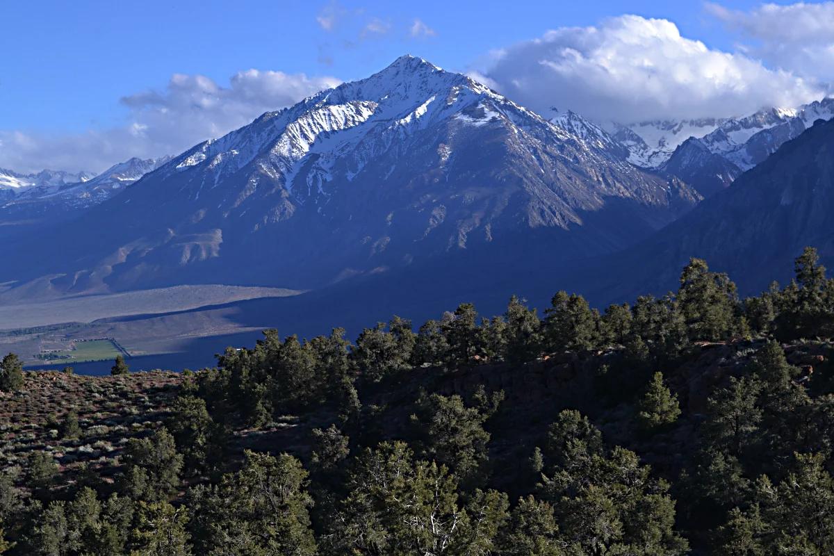
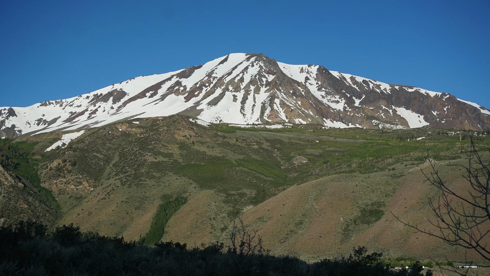
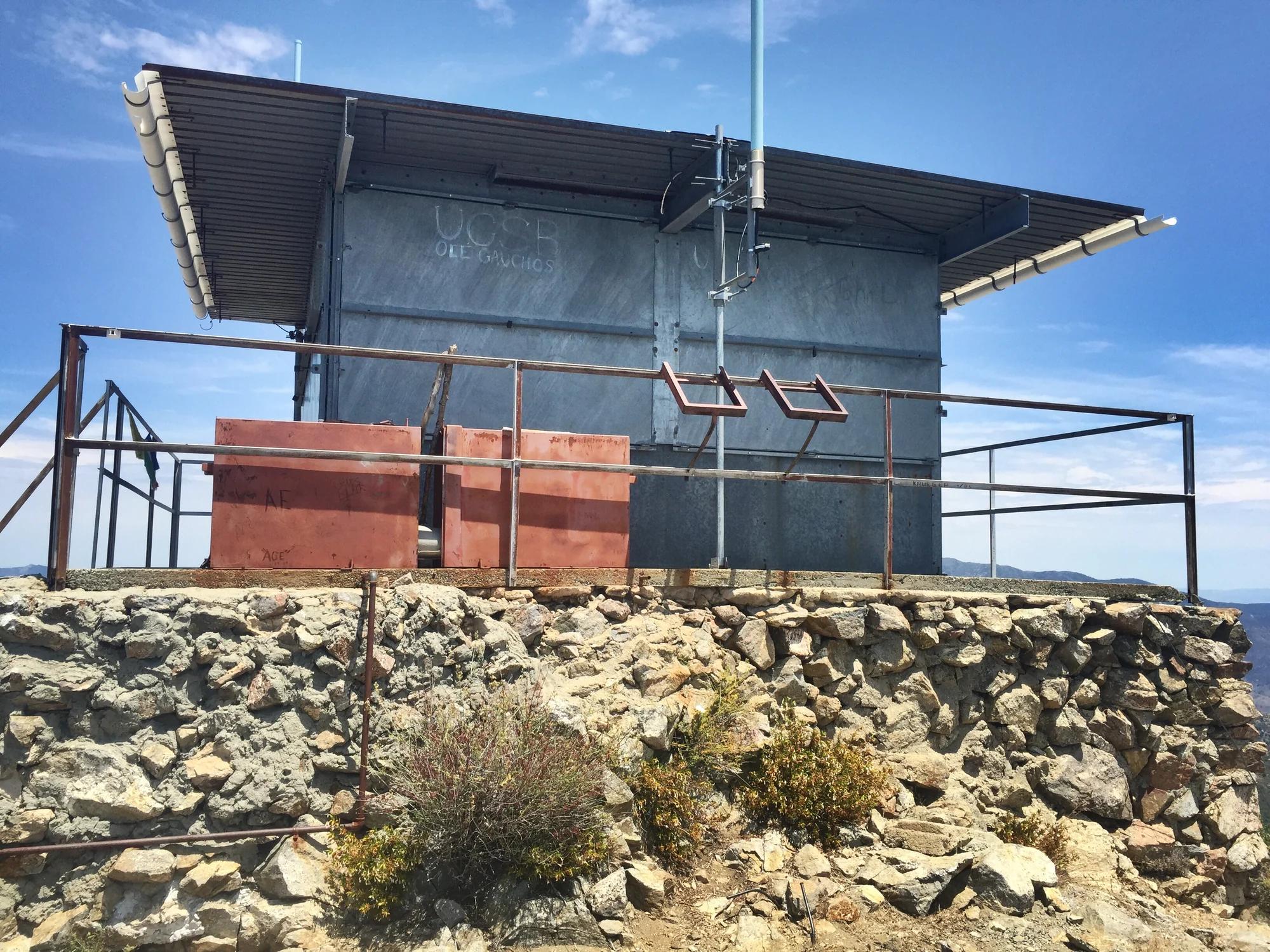
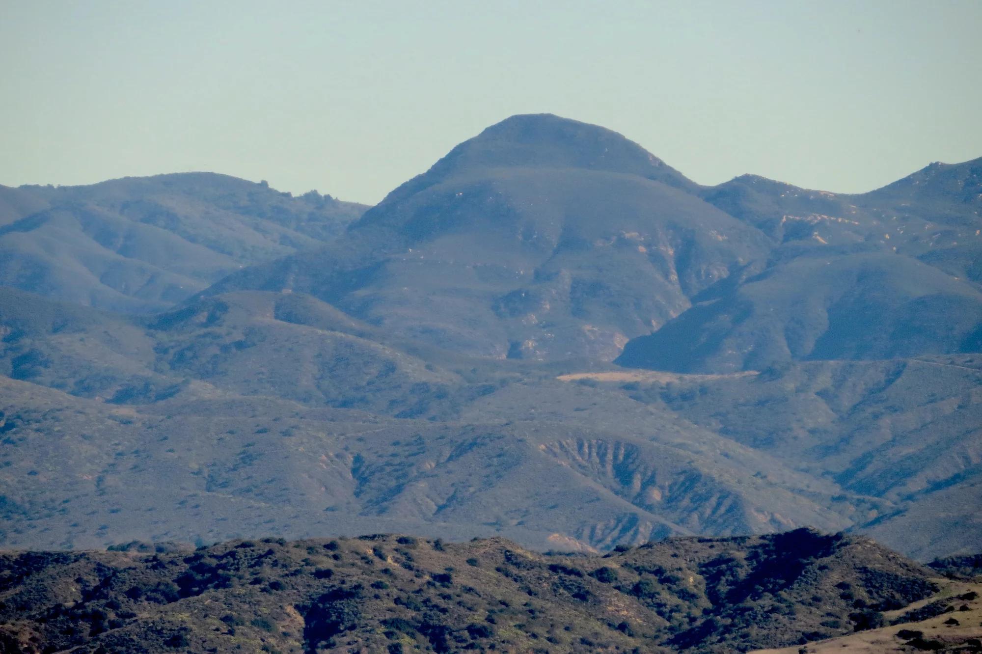
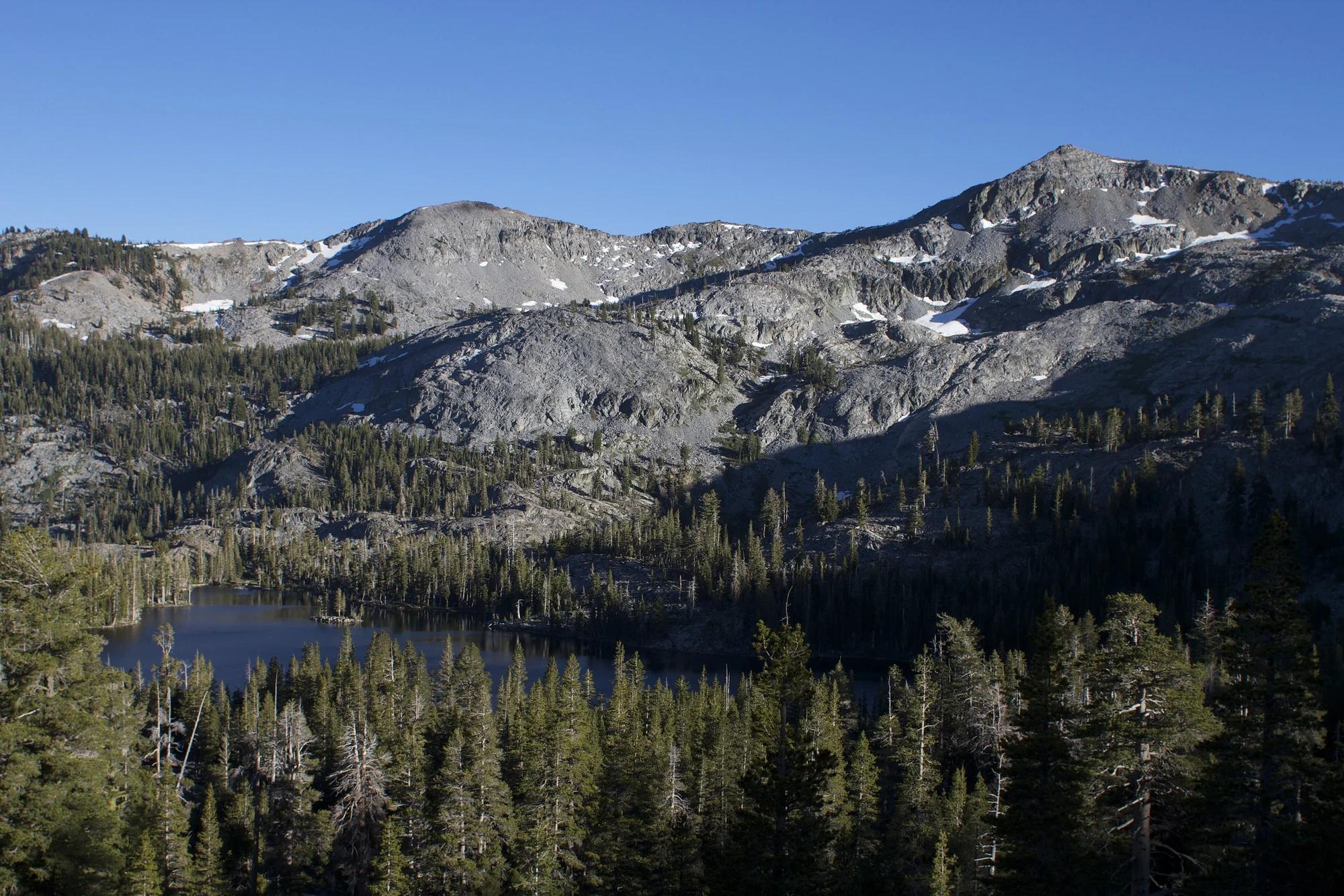
Ralston Peak
Verified California peak at 9,209 ft in Eldorado National Forest (Lake Tahoe & Northern Sierra). Linked to Ralston Peak.
- Route
- 0.6 mi
- Elevation
- 9,209 ft
Browse & Discover
Overlooks, natural arches, sea caves, groves and wildlife reserves.
637 of 2,051 places
Drag to pan. Double-click, pinch or scroll to zoom. Keyboard: arrow keys and +/−. Cards below remain available.
Loading map… Browse the spot cards below at any time.
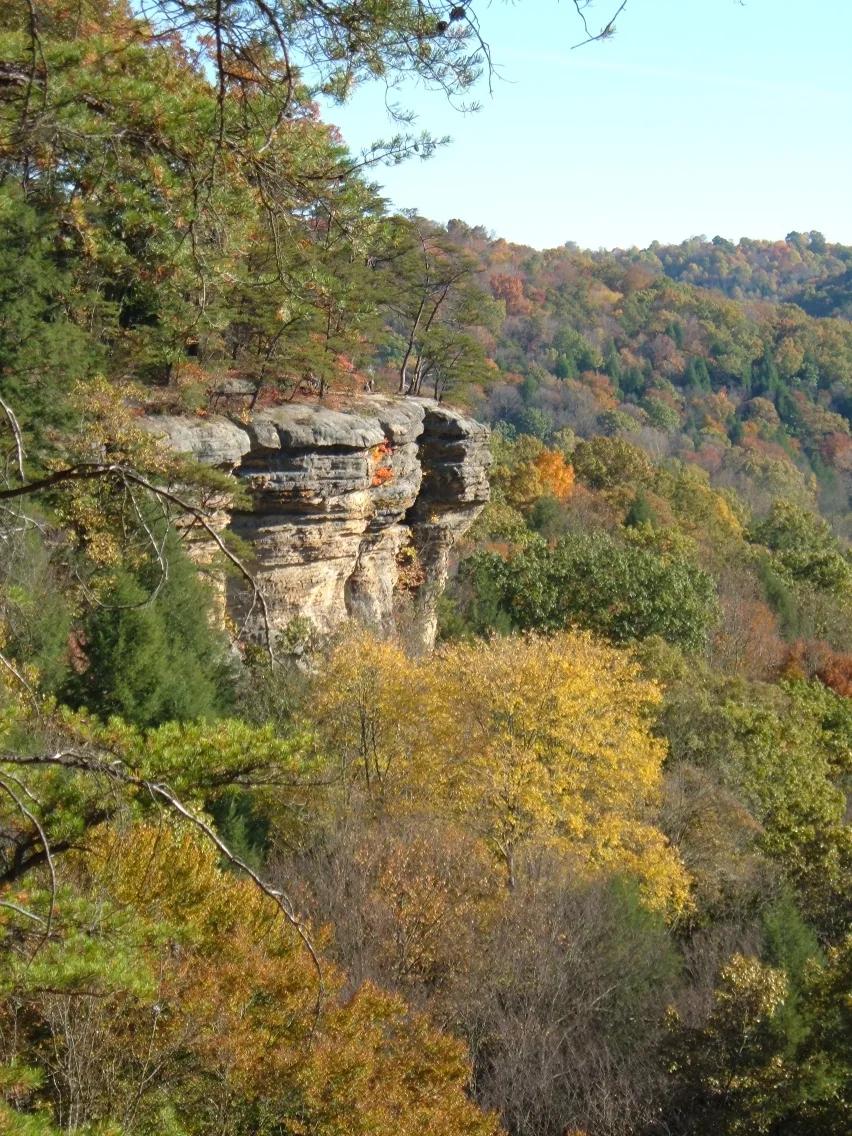
Conkles Hollow State Nature Preserve · Hocking Hills · Ohio
Sheer 200-foot Black Hand sandstone cliffs bounding one of the deepest ravines in Ohio, traversed by an exhilarating cliff-edge rim trail.
Photo: Analogue Kid at English Wikipedia · CC BY 2.5
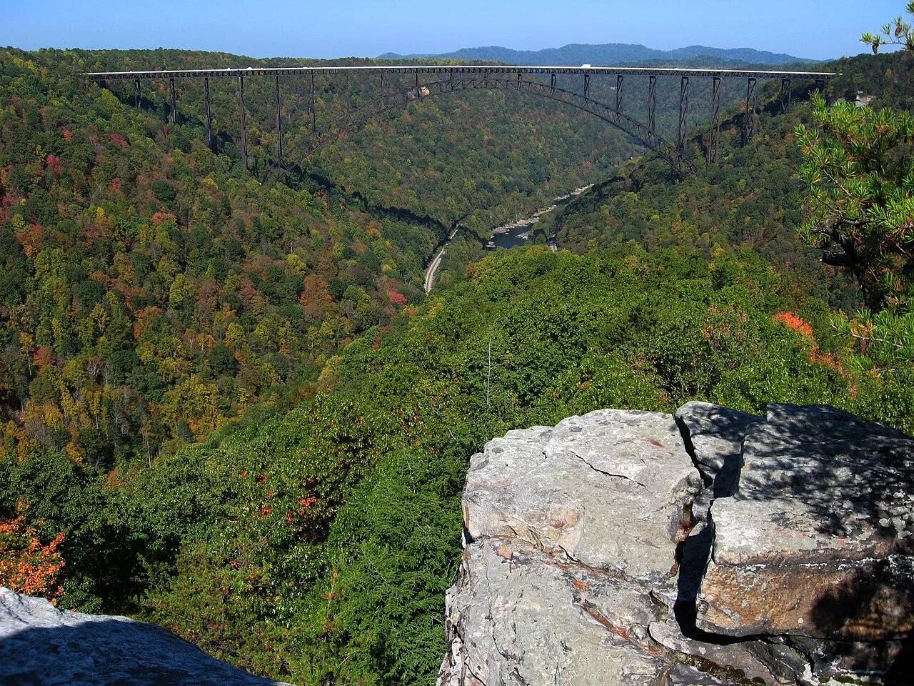
New River Gorge National Park and Preserve · Appalachian & Blue Ridge · West Virginia
Narrow Nuttall sandstone rock finger jutting into the gorge with a dead-center profile view of the 3,030-foot New River Gorge steel arch bridge.
Photo: NPS photo/Dave Bieri · Public domain
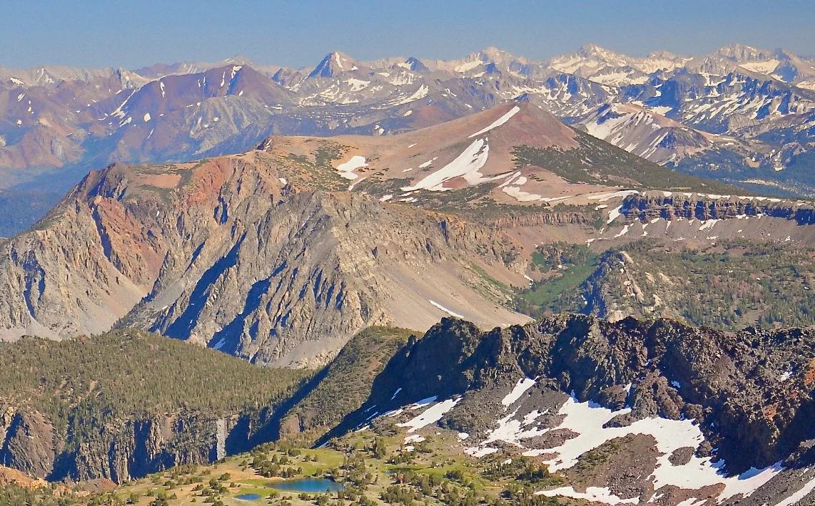
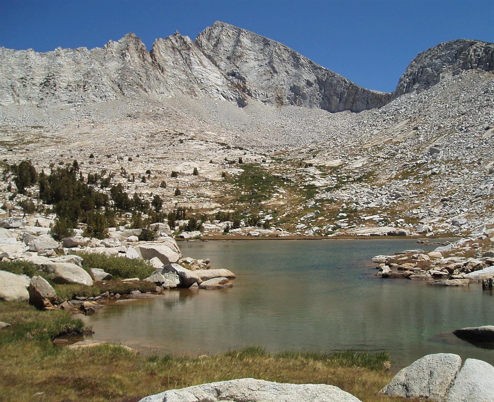
Inyo National Forest · Yosemite & Central Sierra
Verified California peak at 11,555 ft in Inyo National Forest (Yosemite & Central Sierra).
Photo: File:Alger Lakes Ansel Adams Wilderness.jpg : Steve Dunleavy from Lake Tahoe, NV, United States cropping: Hike395 · CC BY 2.0
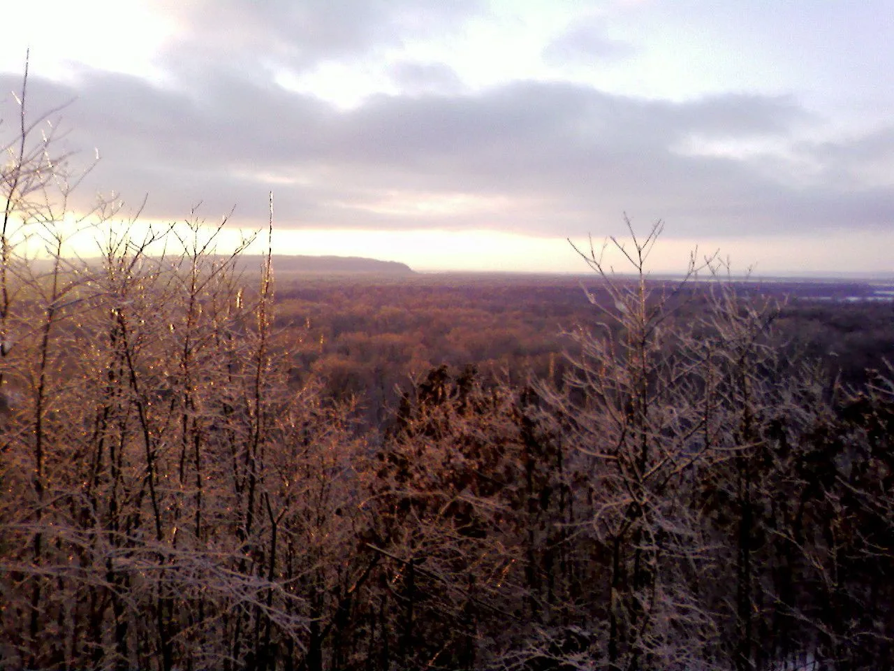
Shawnee National Forest (Murphysboro) · Southern Illinois / Shawnee · Illinois
Adventurous descent through a steep box canyon where ancient creek waters have carved foot-holds directly into slick sandstone beneath 300-foot bluffs.
Photo: randwill · CC BY 2.0
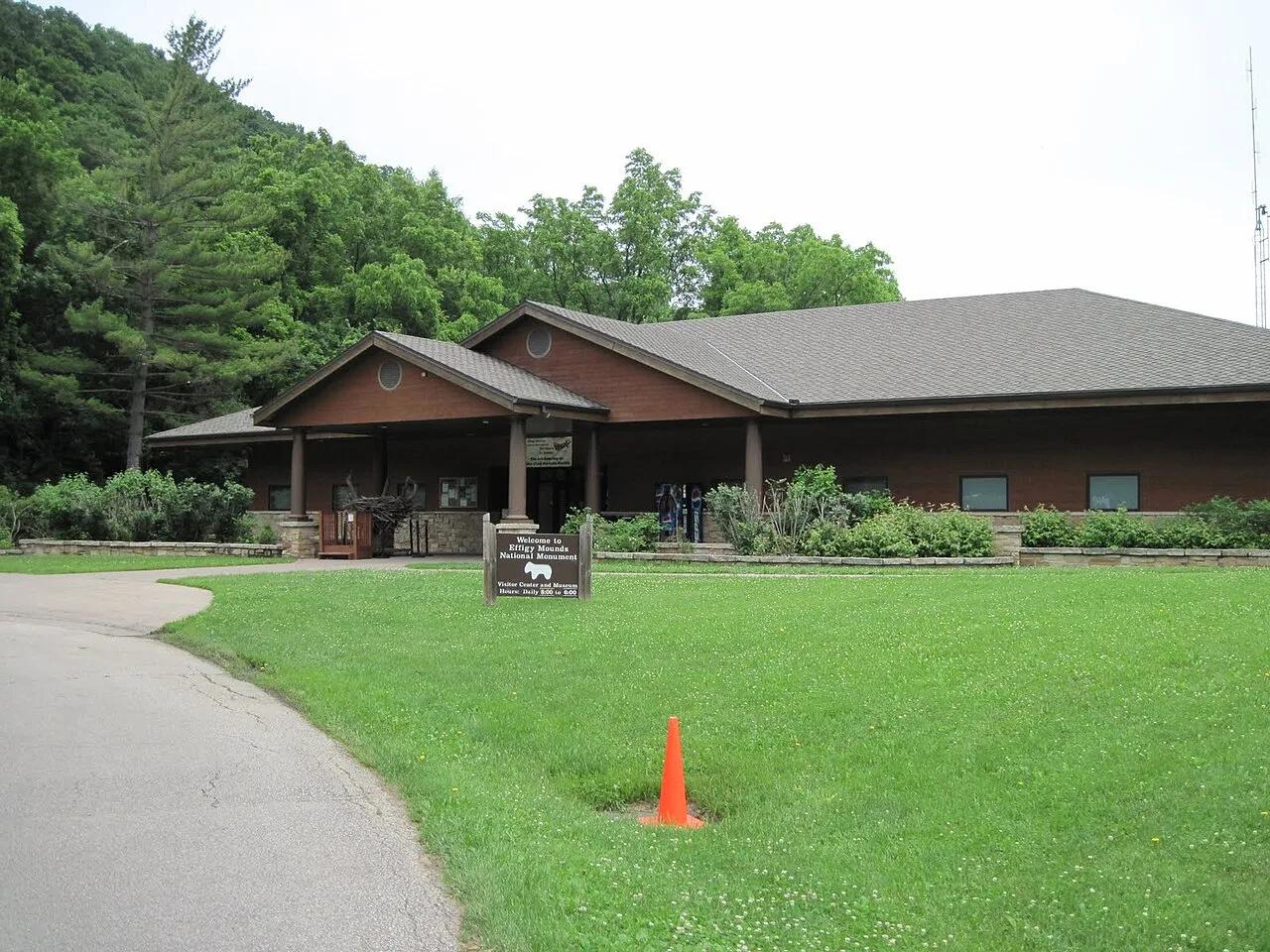
Effigy Mounds National Monument · Upper Mississippi Valley · Iowa
Sacred American Indian effigy earthworks shaped like bears and birds atop forested Mississippi River bluffs overlooking the Yellow River delta.
Photo: SkybirdForever · CC BY-SA 3.0
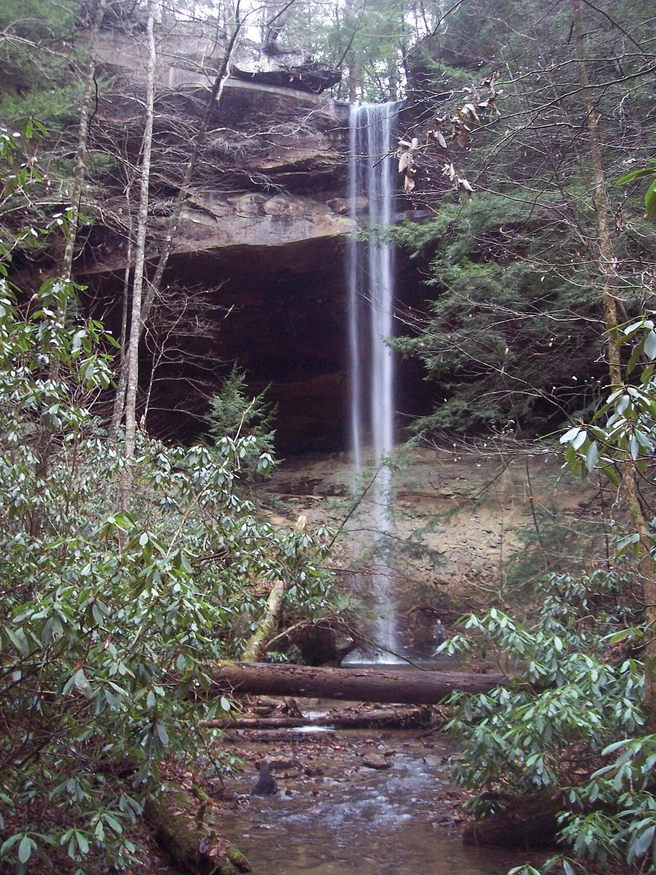
Big South Fork National River and Recreation Area (Whitley City) · Appalachian & Blue Ridge · Kentucky
Kentucky's highest waterfall—a 113-foot plunge framed by a massive sandstone rock shelter you can walk completely behind.
Photo: Mason Brock (Masebrock) · Public domain
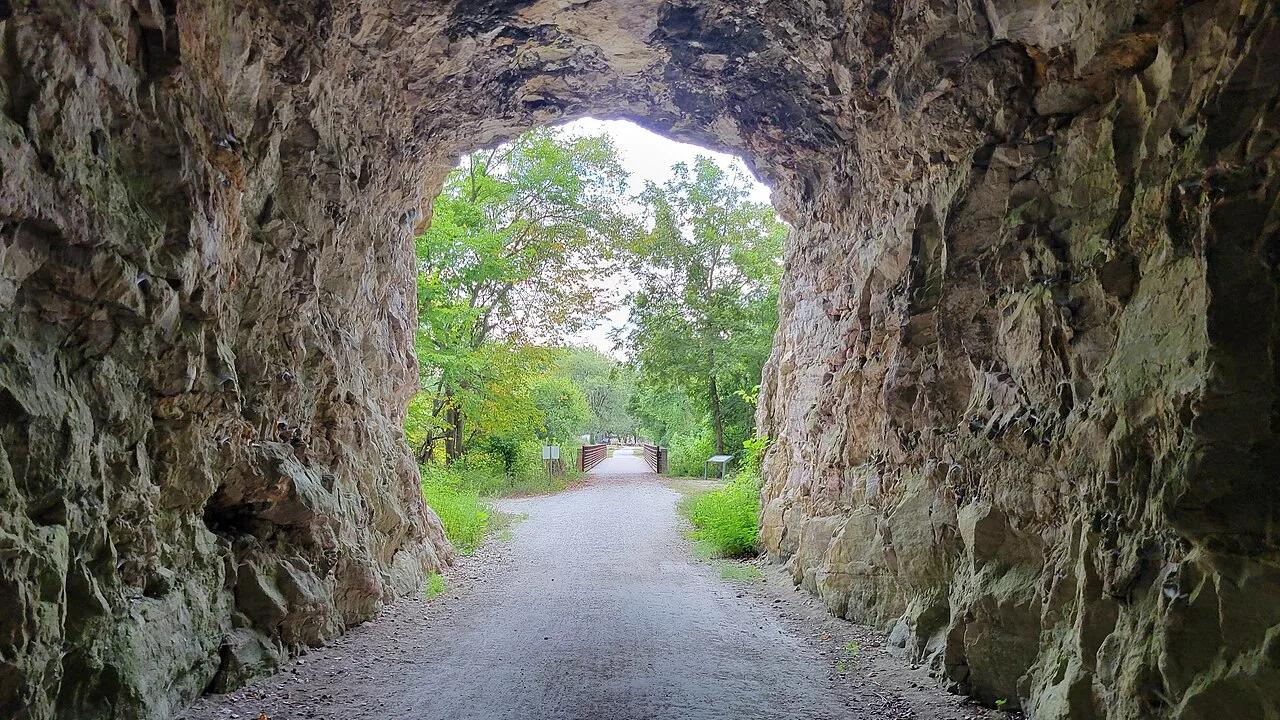
Katy Trail State Park (Rocheport) · Mid-Missouri · Missouri
Iconic rail-trail section hugging soaring 200-foot Burlington limestone bluffs along the Missouri River, passing Lewis and Clark pictographs and the 1893 stone tunnel.
Photo: RuralResurrection · CC BY 4.0
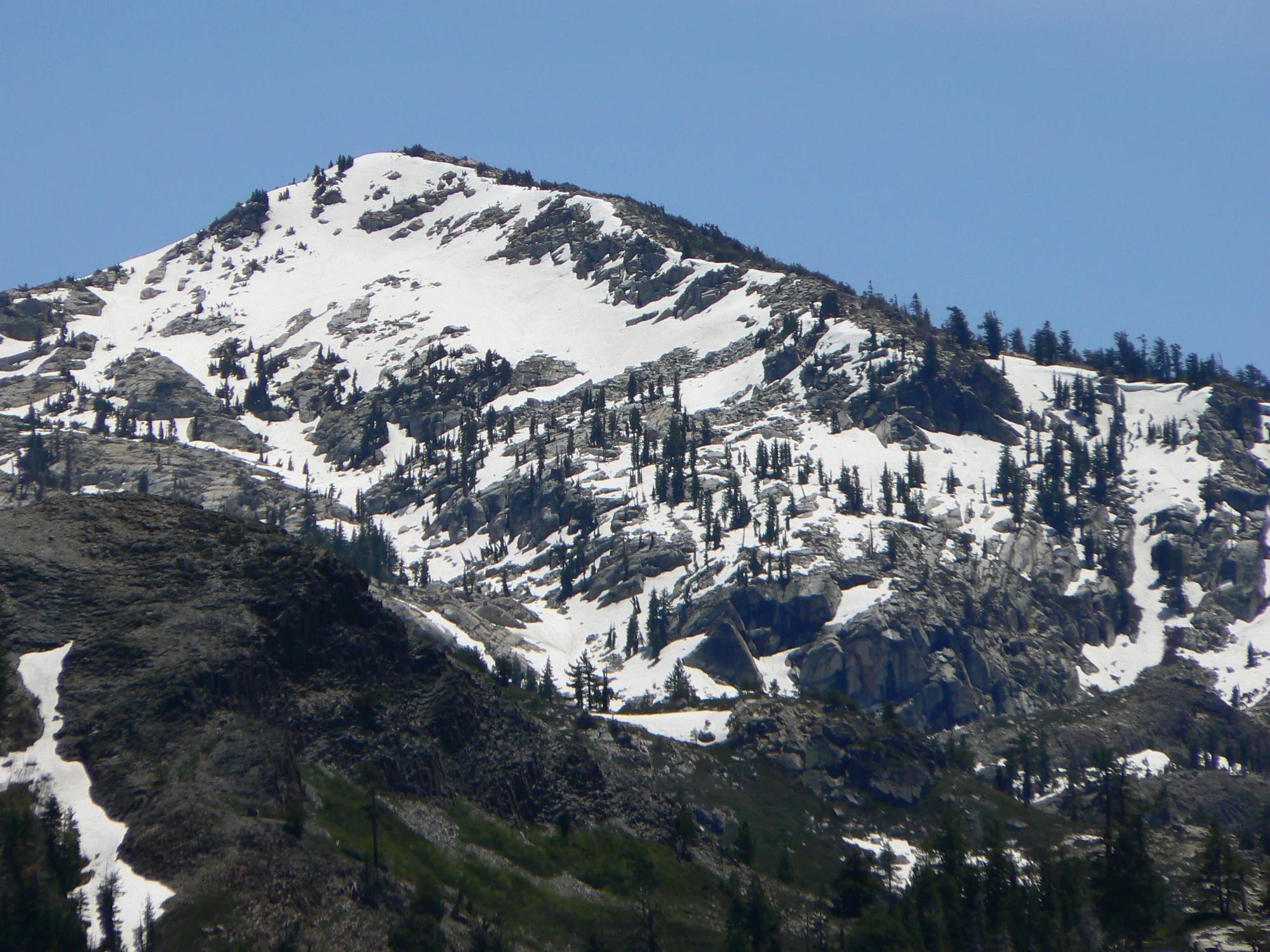
Eldorado National Forest · Lake Tahoe & Northern Sierra
Verified California peak at 8,855 ft in Eldorado National Forest (Lake Tahoe & Northern Sierra).
Photo: Nick Ares from Auburn, CA, United States · CC BY-SA 2.0
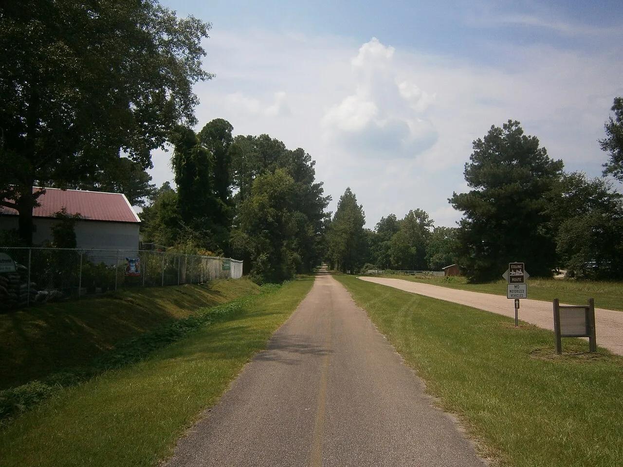
Hattiesburg to Prentiss Gateway · South & Gulf Coast · Mississippi
44-mile paved rails-to-trails cycling highway slicing through rolling longleaf pine ridges, beaver ponds, and historic depot towns.
Photo: Aaron Manning · CC BY 3.0
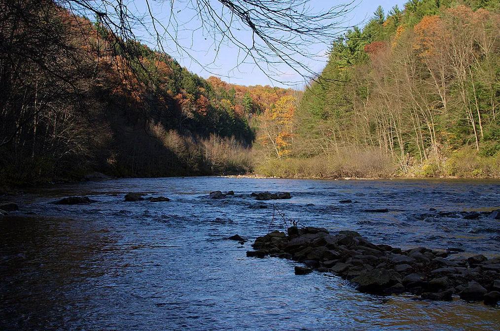
Lehigh Gorge State Park (Poconos) · Northeast & New England · Pennsylvania
26-mile crushed-stone rail trail following the whitewater rapids, canal locks, and waterfalls of the Lehigh River.
Photo: John D. from SE Pennsylvania, USA · CC BY 2.0
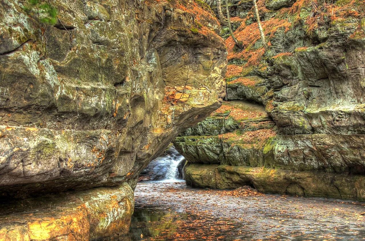
Pewit's Nest State Natural Area · Baraboo Hills · Wisconsin
Intimate 40-foot deep slot canyon carved through purple Precambrian Baraboo quartzite by Skillet Creek, leaving deep glacial potholes and cedar-lined cliffs.
Photo: Archbob · CC BY-SA 4.0
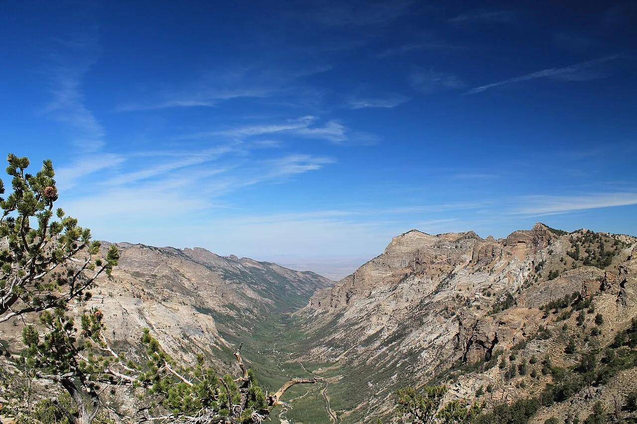
Humboldt-Toiyabe National Forest · Great Basin & Nevada · Nevada
The 'Yosemite of Nevada'—a glacier-carved U-shaped canyon ascending to alpine cirque lakes on the Ruby Crest National Recreation Trail.
Photo: Jeremy Michael · CC BY 2.0