Lost River Reservation · White Mountains · New Hampshire
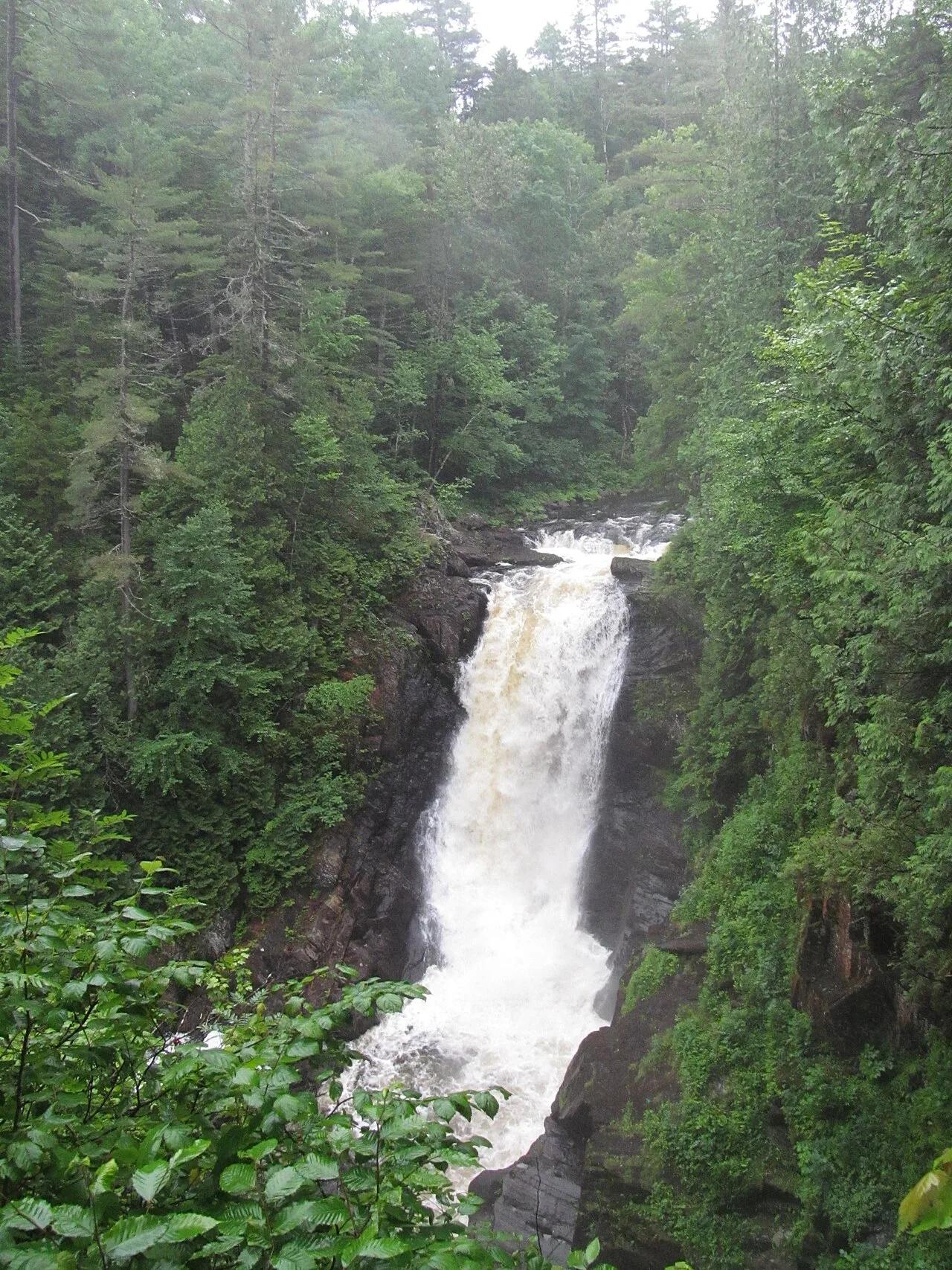
Lost River Gorge & Boulder Caves
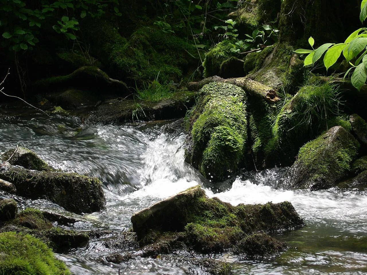
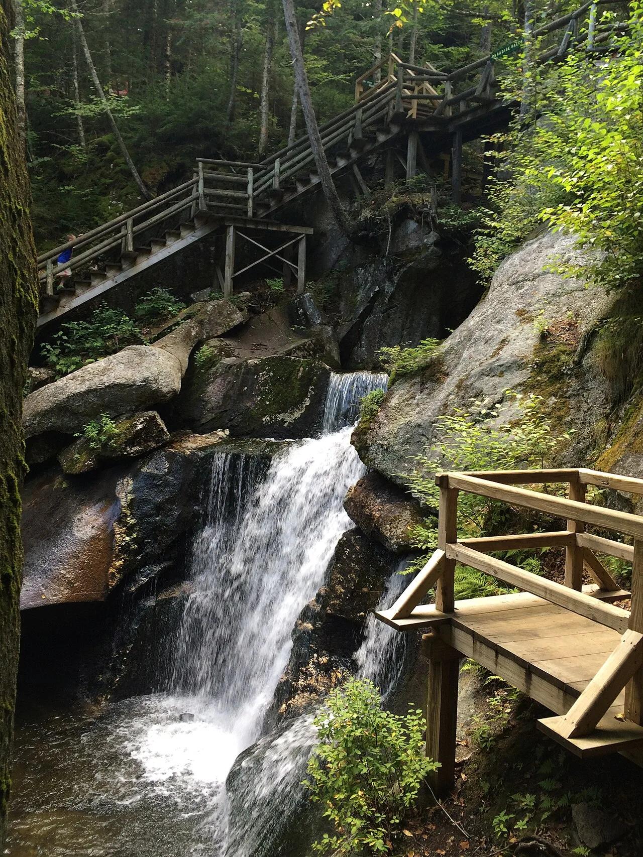
Glacial meltwaters carved deep granite potholes and labyrinthine boulder caves where subterranean waters plunge through Kinsman Notch.
- Route
- 1 mi
- Climb
- 197 ft
Browse & Discover
Overlooks, natural arches, sea caves, groves and wildlife reserves.
723 of 2,051 places
Drag to pan. Double-click, pinch or scroll to zoom. Keyboard: arrow keys and +/−. Cards below remain available.
Loading map… Browse the spot cards below at any time.

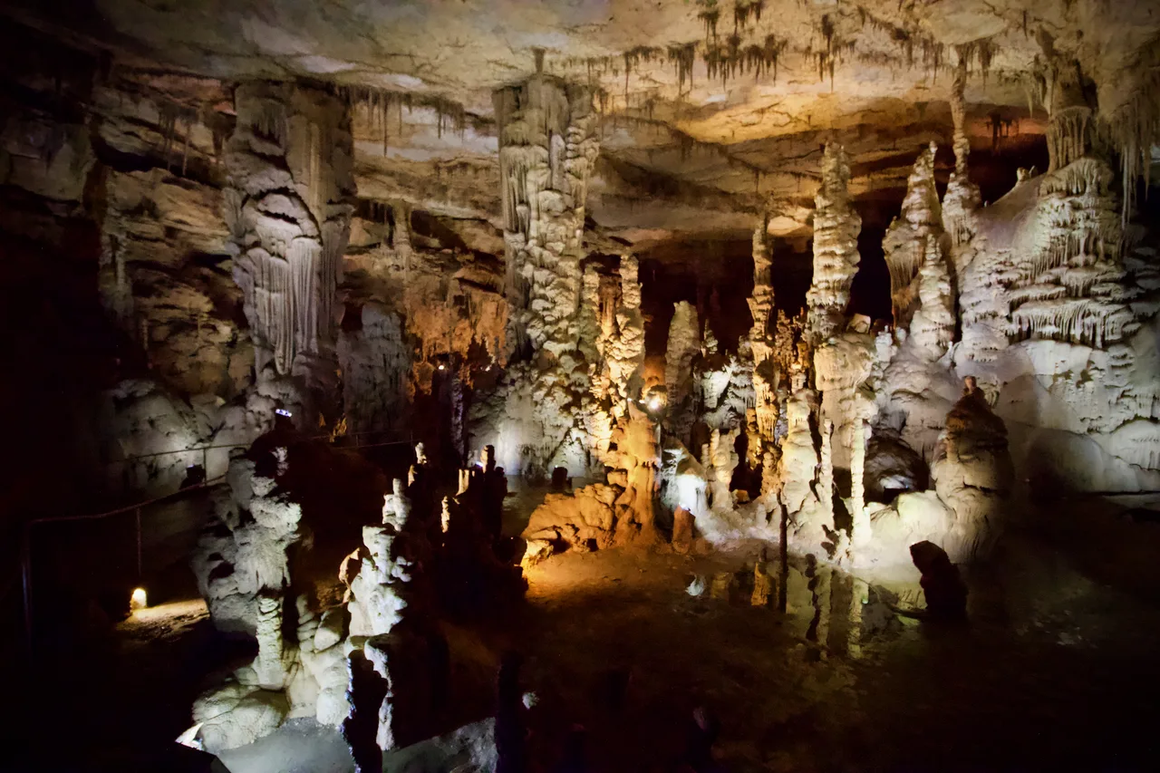
Cathedral Caverns State Park (Woodville) · Appalachian & Blue Ridge · Alabama
Massive 126-foot-wide, 25-foot-high cavern entrance opening into a subterranean limestone canyon housing a 45-foot stalagmite and underground waterfall.
Photo: Diegoandrade · CC BY-SA 4.0

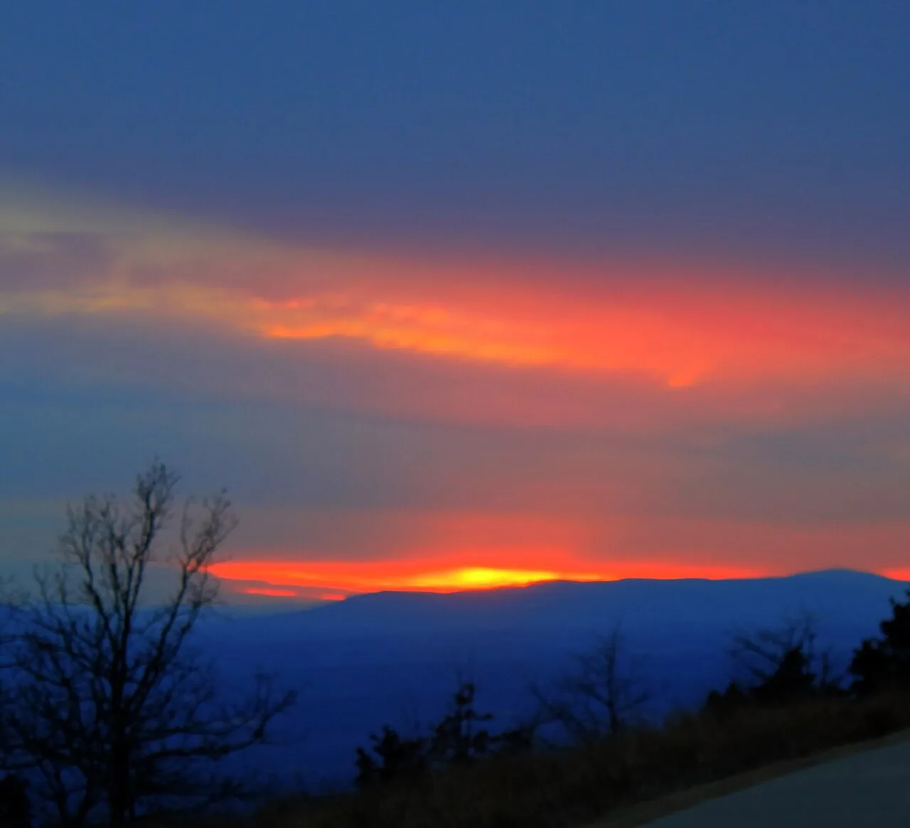
Mount Magazine State Park (Ozark-St. Francis NF) · South & Gulf Coast · Arkansas
Highest point in Arkansas (2,753 ft) crowned by sheer sandstone hang-gliding cliffs overlooking the Petit Jean River Valley.
Photo: Yinan Chen · Public domain

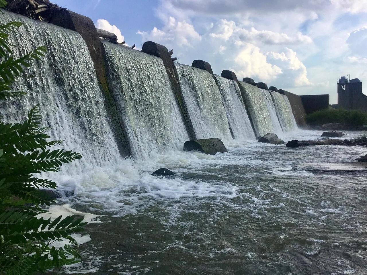
Falls of the Ohio State Park · Ohio River / Clarksville · Indiana
One of the world's largest naturally exposed 390-million-year-old Devonian fossil coral beds, accessible directly on foot across Ohio River limestone ledges.
Photo: Darkstarcrashes · CC BY-SA 4.0

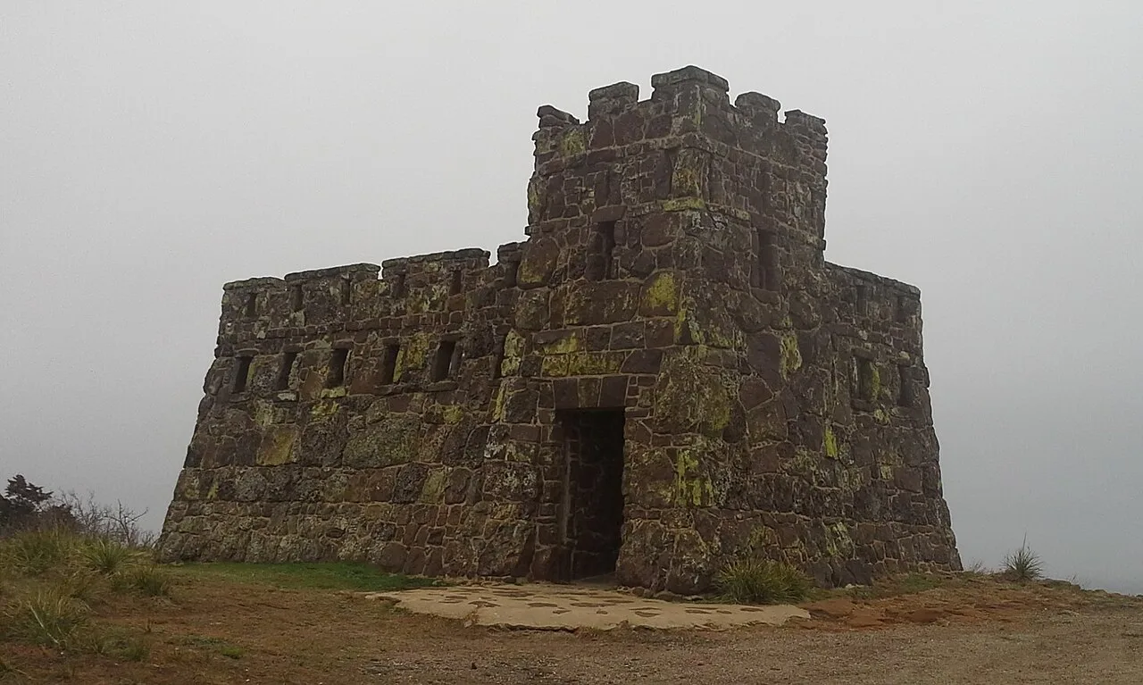
Coronado Heights Park (Lindsborg) · Smoky Hills · Kansas
WPA sandstone castle perched 300 feet above the Smoky Hill River valley where Spanish explorer Coronado looked in vain for the golden Seven Cities of Cíbola.
Photo: Swampyank · CC BY-SA 3.0

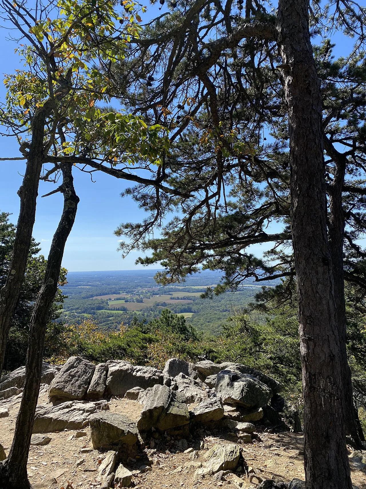
Sugarloaf Mountain Natural Landmark · Piedmont / Frederick County · Maryland
An isolated quartzite monadnock rising 800 feet above the surrounding farmland with sweeping views of the Blue Ridge and Monocacy River.
Photo: TheTurducken · CC BY 2.0

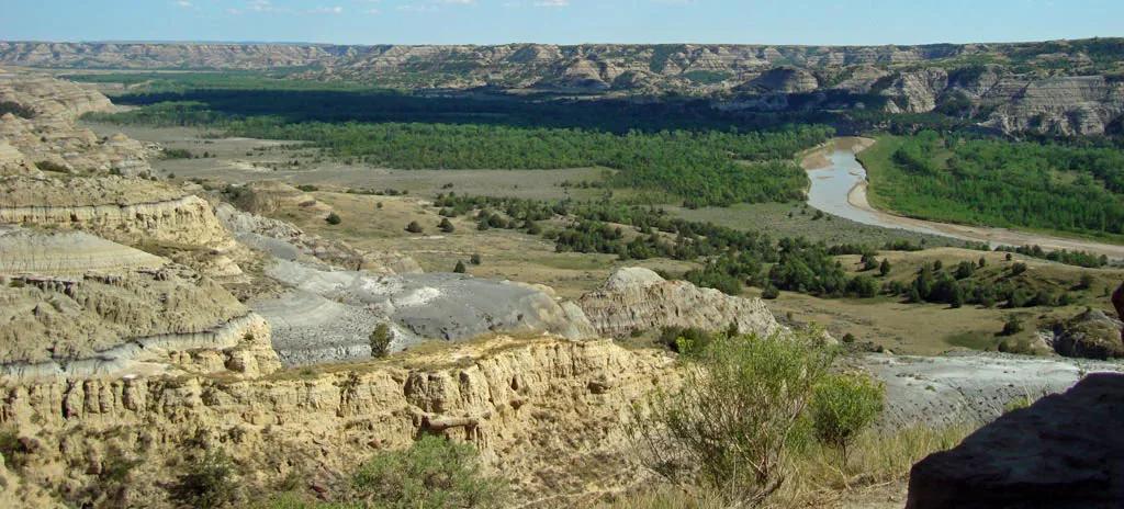
Little Missouri State Park (Killdeer) · Great Plains & Heartland · North Dakota
6,400 acres of rugged badlands hoodoos, bentonite clay domes, and juniper coulees overlooking the winding Little Missouri River.
Photo: National Park Service; uploaded by User:Finetooth · Public domain

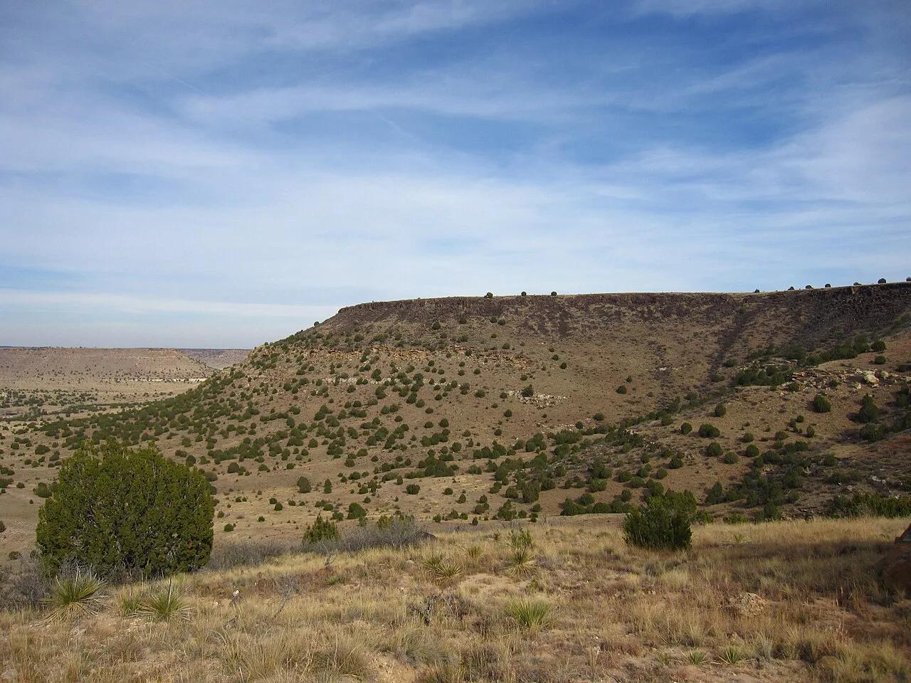
Black Mesa State Park & Nature Preserve (Kenton) · Panhandle · Oklahoma
The highest point in Oklahoma (4,973 feet) atop a dramatic black basalt volcanic lava flow mesa on the tri-state border with Colorado and New Mexico.
Photo: Chris M · CC BY 2.0

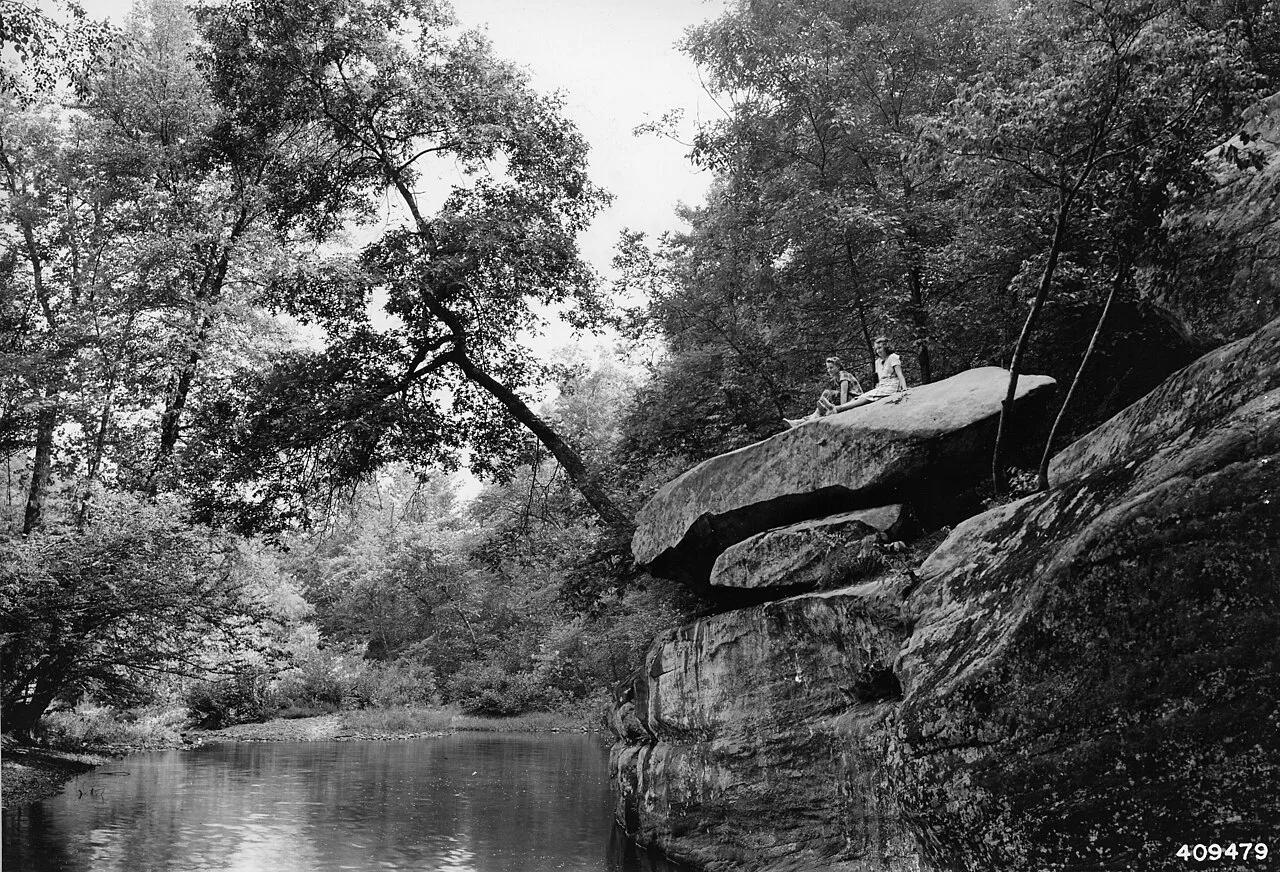
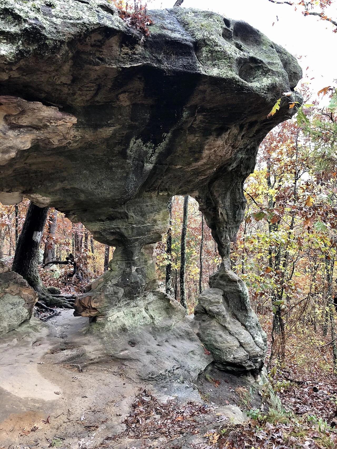
Shawnee National Forest (Ozark) · Southern Illinois / Shawnee · Illinois
Spectacular sandstone canyon featuring clear stream swimming pools, a 125-foot natural stone bridge, and the soaring fin of Devil's Backbone.
Photo: Unknown authorUnknown author or not provided · Public domain

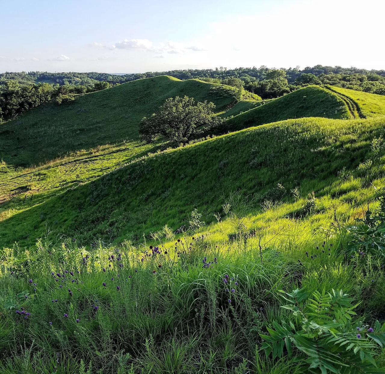
Hitchcock Nature Center (Pottawattamie County) · Loess Hills · Iowa
Knife-edge windblown silt ridges rising 200 feet above the Missouri River floodplain, famous for fall raptor migrations and HawkWatch tower views.
Photo: cassi saari · CC BY-SA 4.0

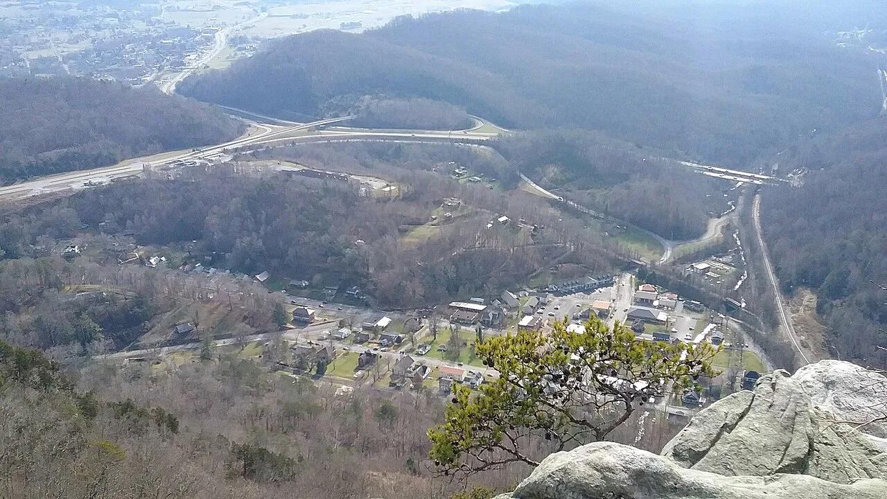
Cumberland Gap National Historical Park · Appalachian & Blue Ridge · Kentucky
2,440-foot limestone cliff overlook above the historic Wilderness Road gap where Kentucky, Virginia, and Tennessee meet.
Photo: Bneu2013 · CC BY-SA 4.0

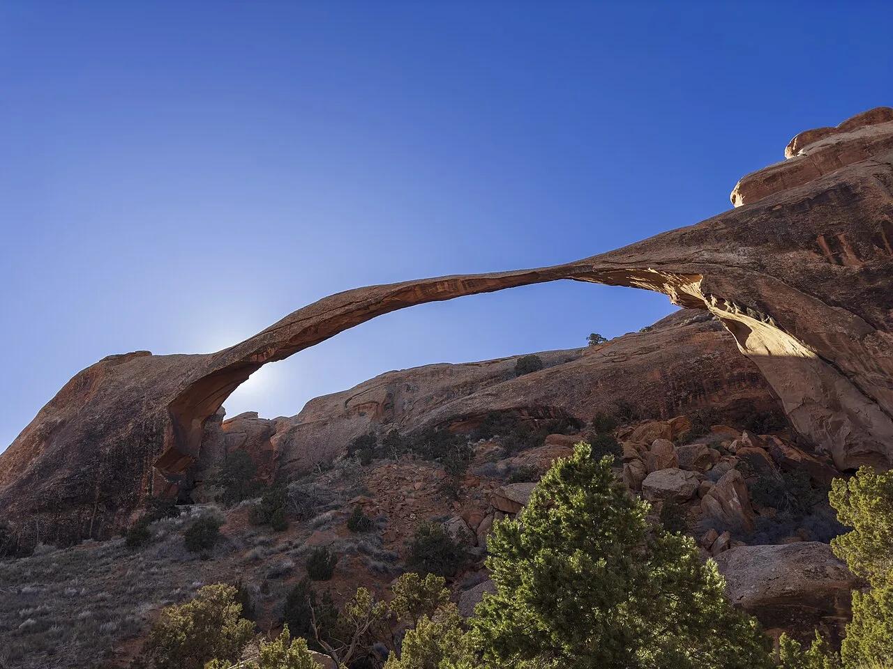
Arches National Park (Moab) · Colorado Plateau · Utah
Slickrock sandstone fins connecting eight natural arches—anchored by 306-foot Landscape Arch, the longest natural rock span in North America.
Photo: GyozaDumpling · CC BY 4.0

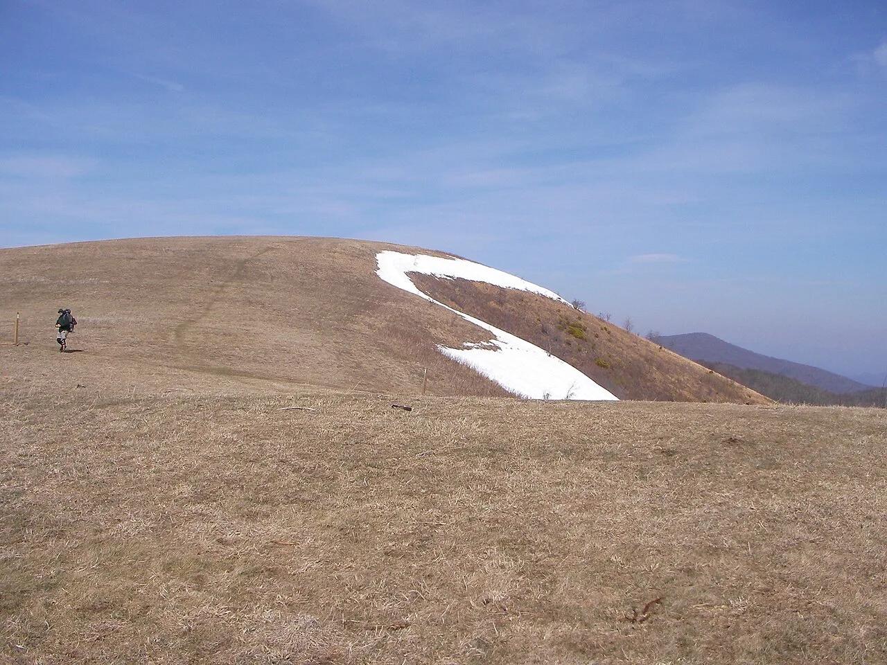
Pisgah National Forest · Appalachian & Blue Ridge · North Carolina
350-acre open mountaintop meadow along the Appalachian Trail offering unobstructed views from Mount Mitchell to the Great Smoky Mountains.
Photo: User:Washedwithblood7 · Public domain

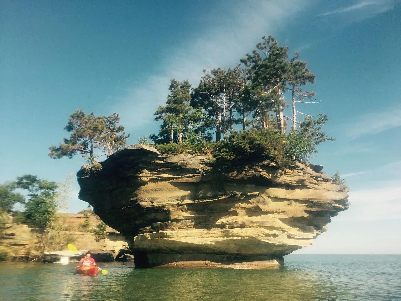
Pointe Aux Barques / Port Austin Waters · The Thumb · Michigan
Spectacular mushroom-shaped sea stack carved by Lake Huron wave action, crowned with 20-foot trees and reachable only by kayak along limestone sea caves.
Photo: thumbwind · CC BY 2.0

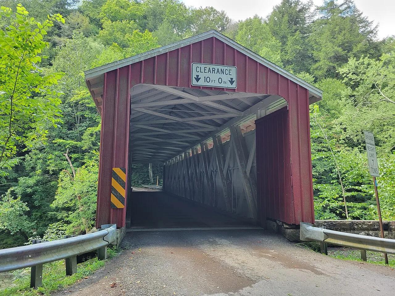
McConnells Mill State Park · Western Pennsylvania · Pennsylvania
A National Natural Landmark gorge featuring 100-foot sandstone cliffs, Class IV-V rapids, Alpha Falls, and an operating 1852 gristmill.
Photo: Simplysites · CC BY 4.0

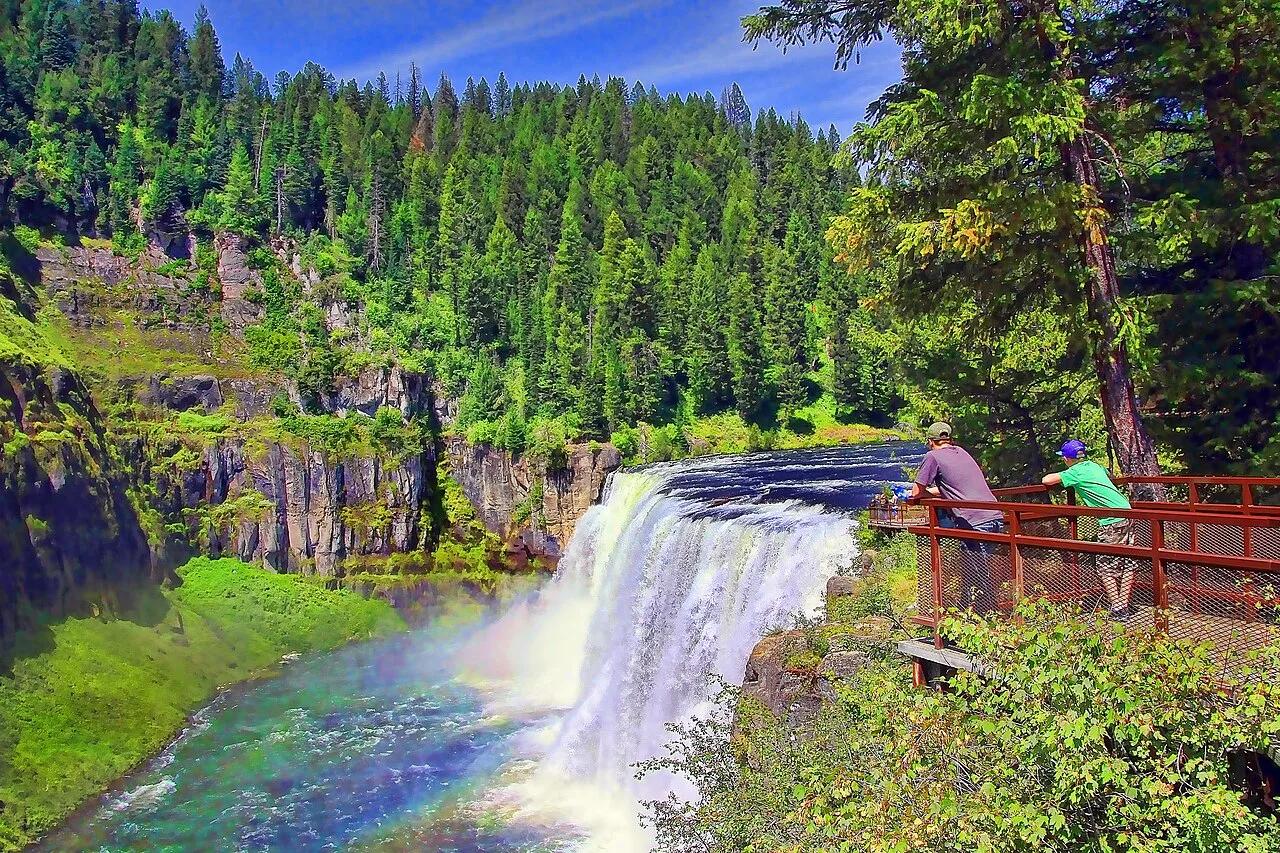
Caribou-Targhee National Forest · Eastern Idaho · Idaho
Last remaining major waterfalls on the Columbia River system undisturbed by damming, crashing over 100 feet of ancient volcanic rock.
Photo: Brenton Cooper from North Ogden, USA · CC BY 2.0

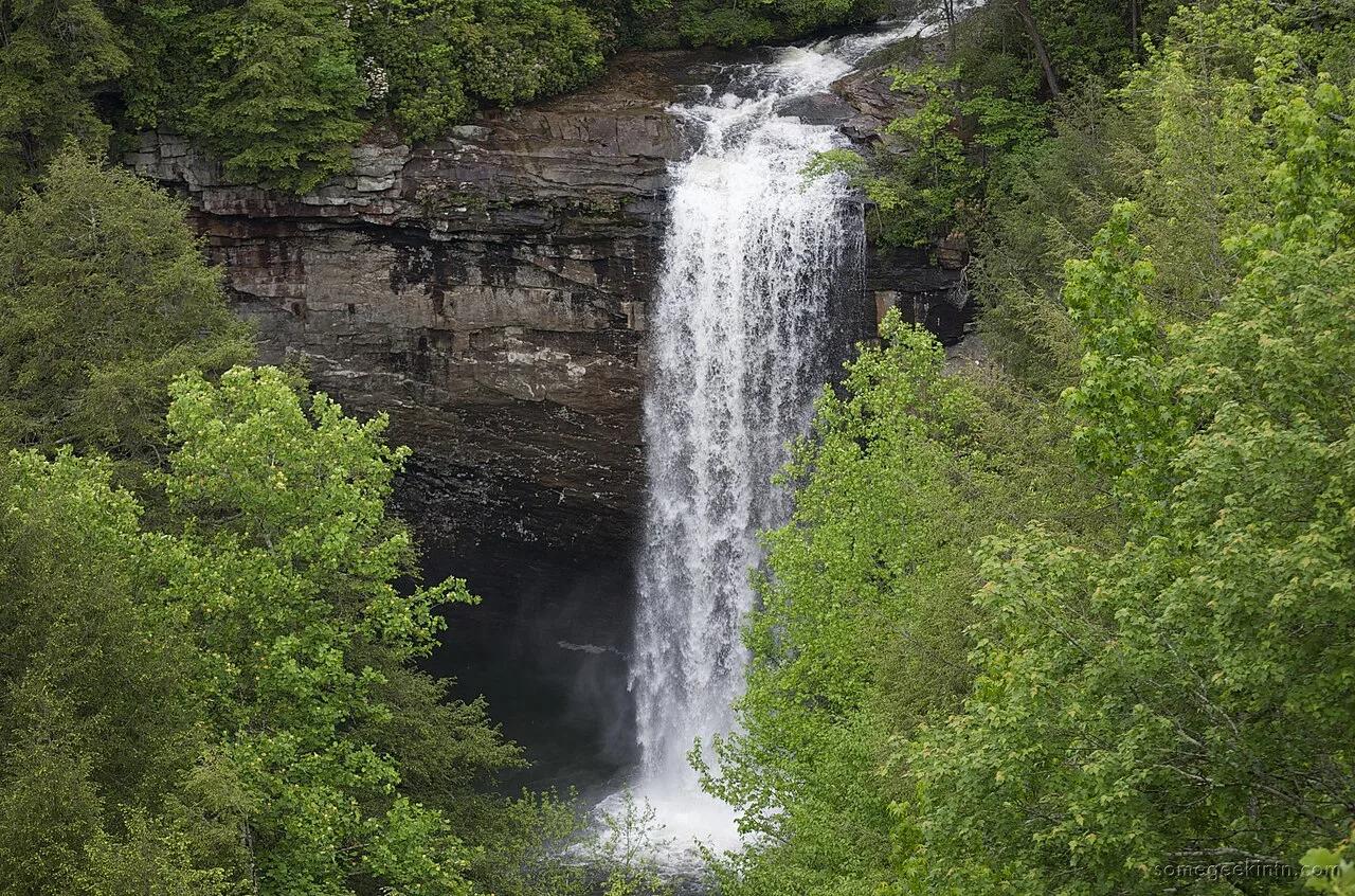
South Cumberland State Park · Appalachian & Blue Ridge · Tennessee
60-foot waterfall plunging into a deep turquoise hemlock-shaded swimming hole crossed by a suspension footbridge along the Fiery Gizzard Trail.
Photo: Casey Fleser (Flickr user somegeekintn) · CC BY 2.0

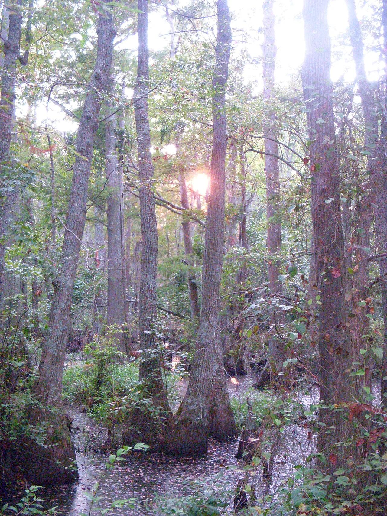
First Landing State Park (Virginia Beach) · Atlantic & Gulf Coasts · Virginia
Spanish-moss-draped bald cypress lagoons, Chesapeake Bay sand beaches, and the 6-mile Cape Henry bike trail at the mouth of the bay.
Photo: Virginia State Parks staff · CC BY 2.0

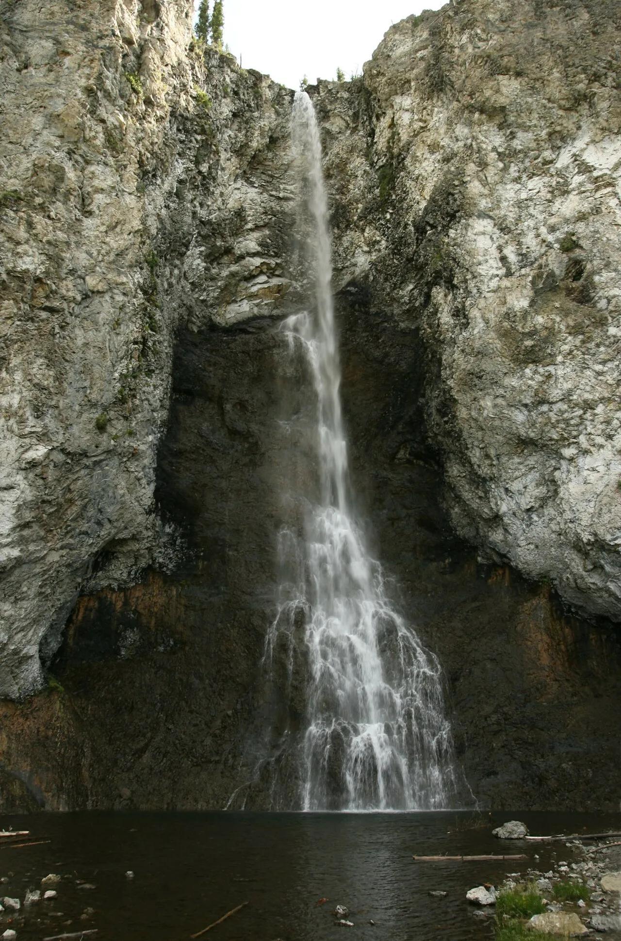
Yellowstone National Park · Yellowstone · Wyoming
Graceful 197-foot waterfall tumbling down steep rhyolite cliffs leading to a bubbling, vibrantly colored thermal geyser.
Photo: Yellowstone National Park from Yellowstone NP, USA · Public domain

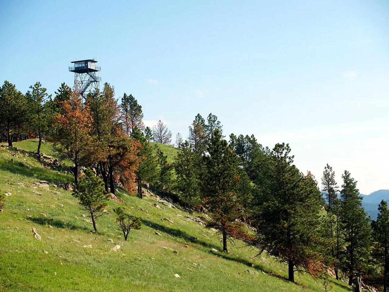
Wind Cave National Park · Southern Black Hills · South Dakota
The highest point in Wind Cave National Park (5,013 feet), crowned by a historic fire lookout tower with panoramic vistas across the mixed-grass prairie and bison range.
Photo: NPS Photo · Public domain

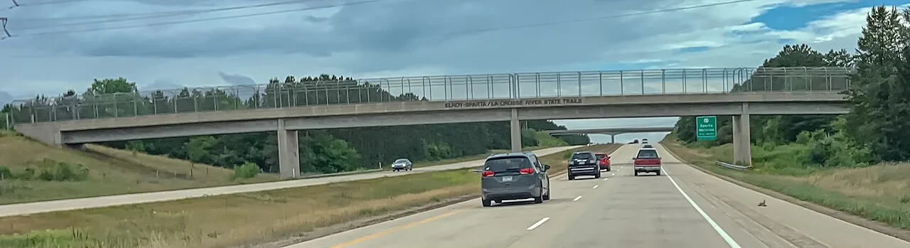
Elroy-Sparta State Trail · Driftless Area · Wisconsin
America's first rails-to-trails conversion, stretching 32 miles through Wisconsin farmland and three historic hand-carved stone tunnels up to 3,810 feet long.
Photo: Wikideas1 · Public domain

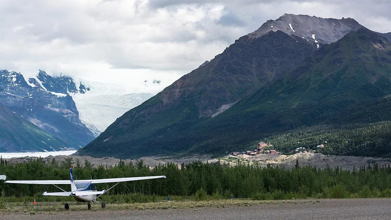
Wrangell-St. Elias National Park and Preserve · Wrangell-St. Elias · Alaska
Incredible wilderness trek from the 14-story historic copper mill directly onto the white ice, blue pools, and moulins of Root Glacier.
Photo: Christoph Strässler from Oberdorf BL, Schweiz · CC BY-SA 2.0

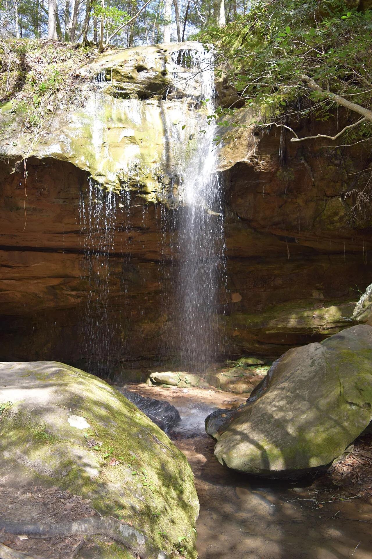
Bankhead National Forest (Land of 1,000 Waterfalls) · Appalachian & Blue Ridge · Alabama
Spring-fed curved sandstone amphitheater waterfall hidden inside the mossy hemlock box canyons of the Sipsey Wilderness.
Photo: Fredlyfish4 · CC BY-SA 4.0

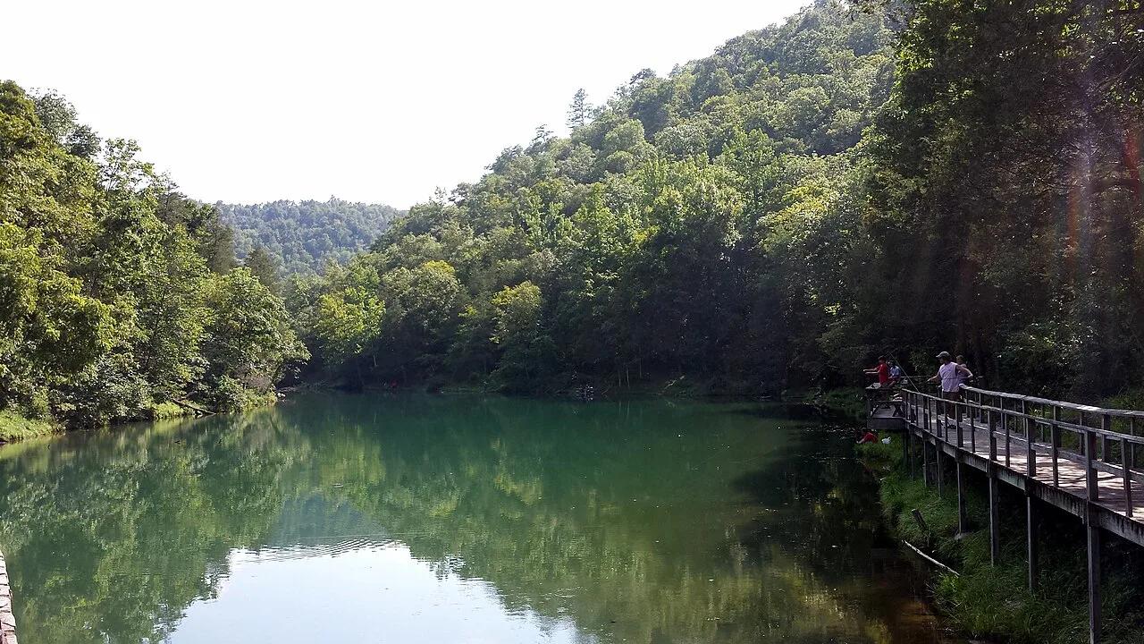
Ozark-St. Francis National Forest (Fifty-Six) · South & Gulf Coast · Arkansas
Turquoise spring emerging from a living limestone cavern and cascading over a historic 1930s CCC stone mill dam into trout-filled Mirror Lake.
Photo: Brandonrush · CC BY-SA 4.0

Spring Mill State Park (Mitchell) · Midwest & Great Lakes · Indiana
Subterranean karst stream rushing out of the monumental limestone mouth of Donaldson Cave through virgin old-growth white oak forest.
Photo: No machine-readable author provided. Rosebud3606 assumed (based on copyright ... · Public domain

Cheyenne Bottoms Wildlife Area (Great Bend) · Central Kansas · Kansas
The largest inland marsh in the contiguous United States (41,000 acres), serving as a globally crucial migration stop for hundreds of thousands of shorebirds.
Photo: Raymond M. Coveney, … · CC BY-SA 3.0