Canyon
Tishomingo State Park · South & Gulf Coast · Mississippi
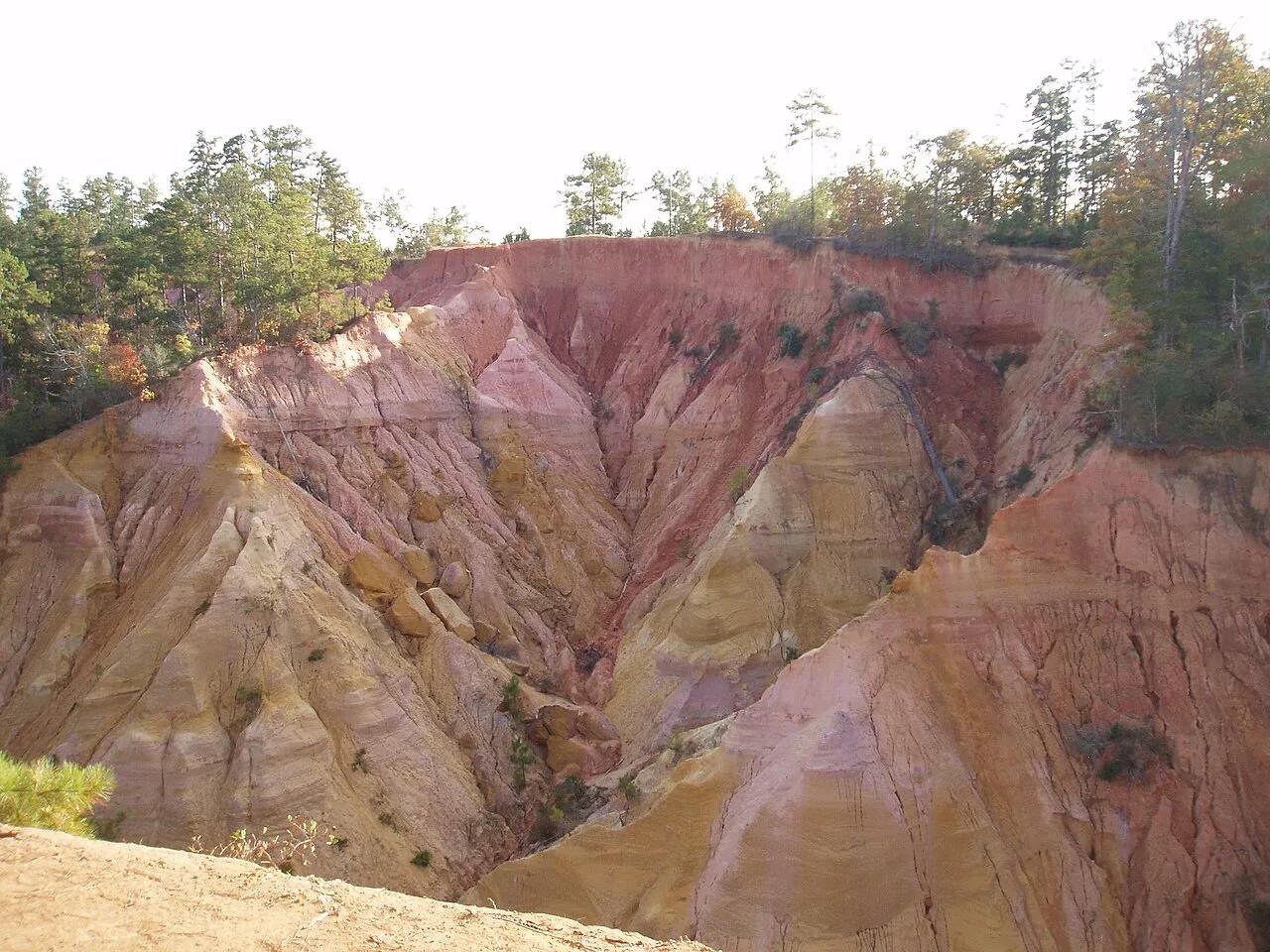
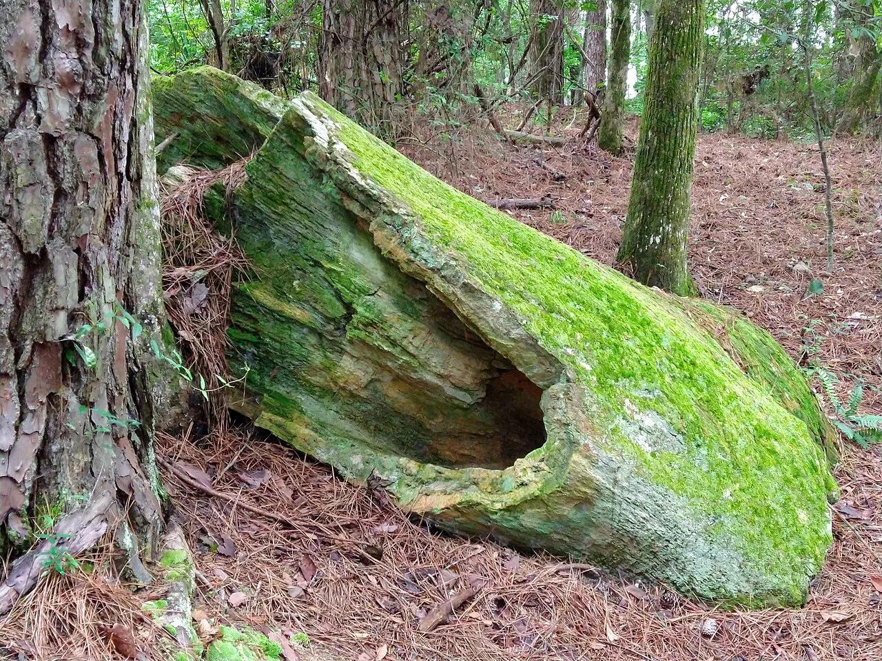
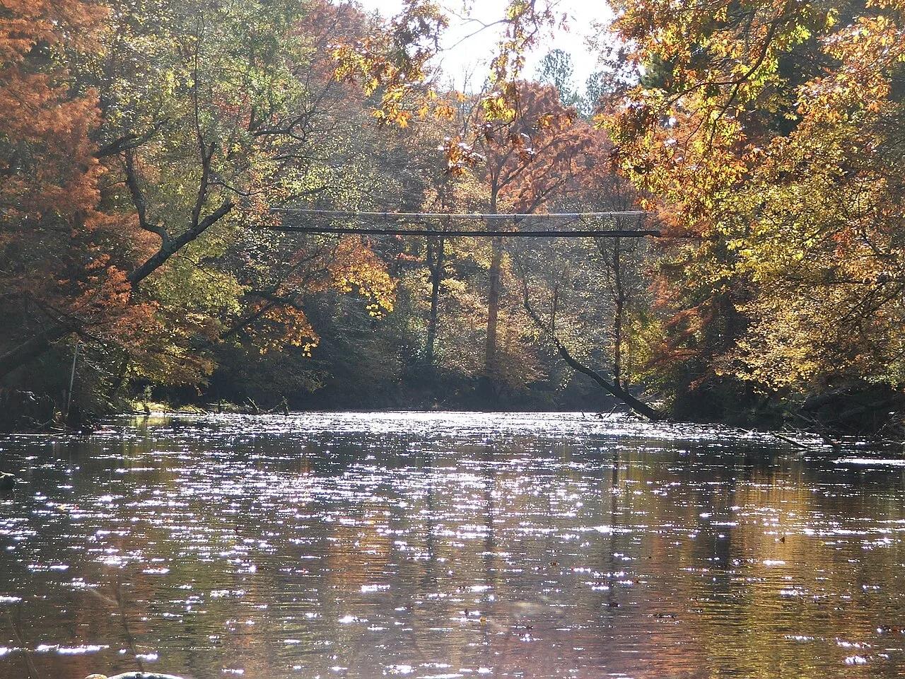
Bear Creek Outcroppings & Swinging Bridge
Appalachian foothills sandstone cliffs, fern-filled crevices, and a historic 1939 CCC swinging bridge over Bear Creek.
- Route
- 3 mi
- Climb
- 279 ft
Browse & Discover
Overlooks, natural arches, sea caves, groves and wildlife reserves.
7 of 2,051 places
Drag to pan. Double-click, pinch or scroll to zoom. Keyboard: arrow keys and +/−. Cards below remain available.
Loading map… Browse the spot cards below at any time.
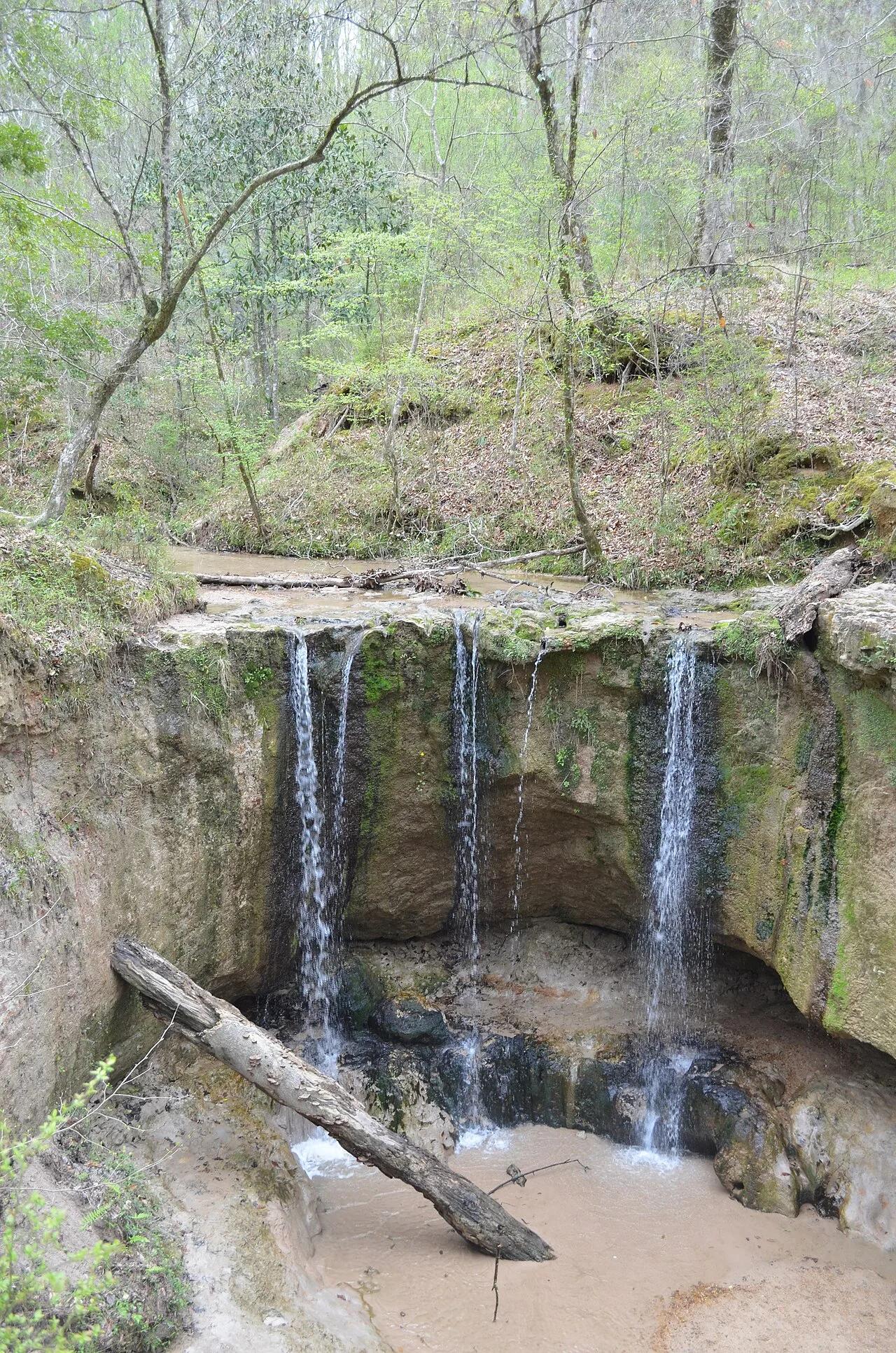
Clark Creek Natural Area (Pond / Woodville) · South & Gulf Coast · Mississippi
Over 50 waterfalls from 10 to 30 feet high tucked inside steep beech-magnolia loess bluff canyons bordering the Mississippi River floodplain.
Photo: Mac H. Alford · CC BY-SA 4.0
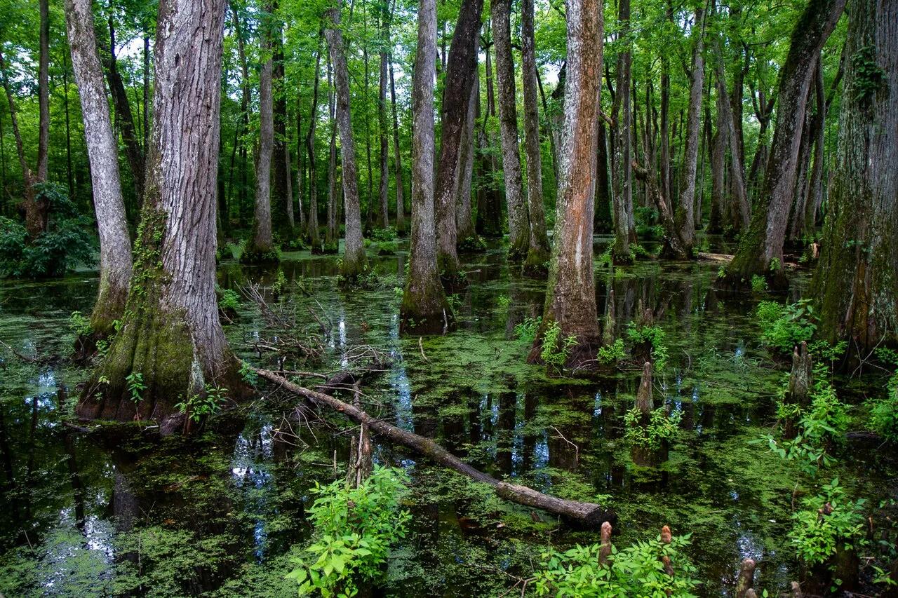
Natchez Trace Parkway (Canton) · South & Gulf Coast · Mississippi
Loop boardwalk curving directly across an old-growth bald cypress and water tupelo slough along the historic 444-mile Natchez Trace bike and scenic corridor.
Photo: Arthur T. LaBar · CC BY 2.0
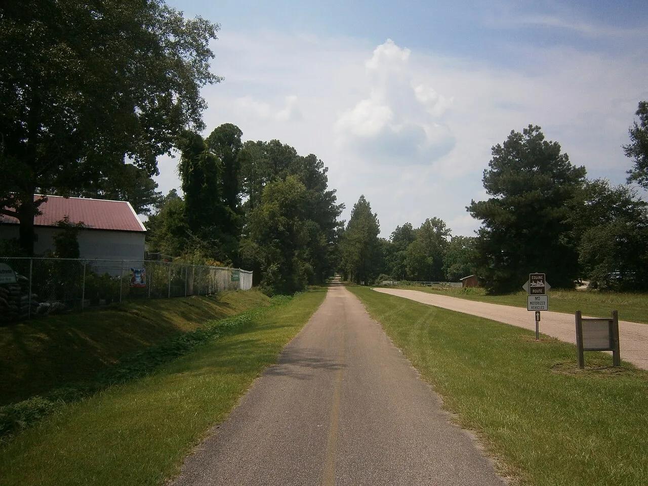
Hattiesburg to Prentiss Gateway · South & Gulf Coast · Mississippi
44-mile paved rails-to-trails cycling highway slicing through rolling longleaf pine ridges, beaver ponds, and historic depot towns.
Photo: Aaron Manning · CC BY 3.0
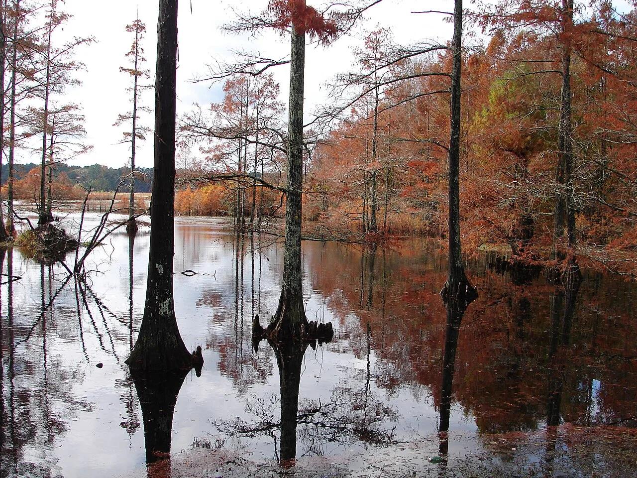
Sam D. Hamilton Noxubee National Wildlife Refuge · South & Gulf Coast · Mississippi
1,200-acre cypress-ringed wildlife refuge lake with overwater boardwalks, osprey platforms, and bottomland hardwood trails.
Photo: U.S. Fish and Wildlife Service Southeast Region · Public domain