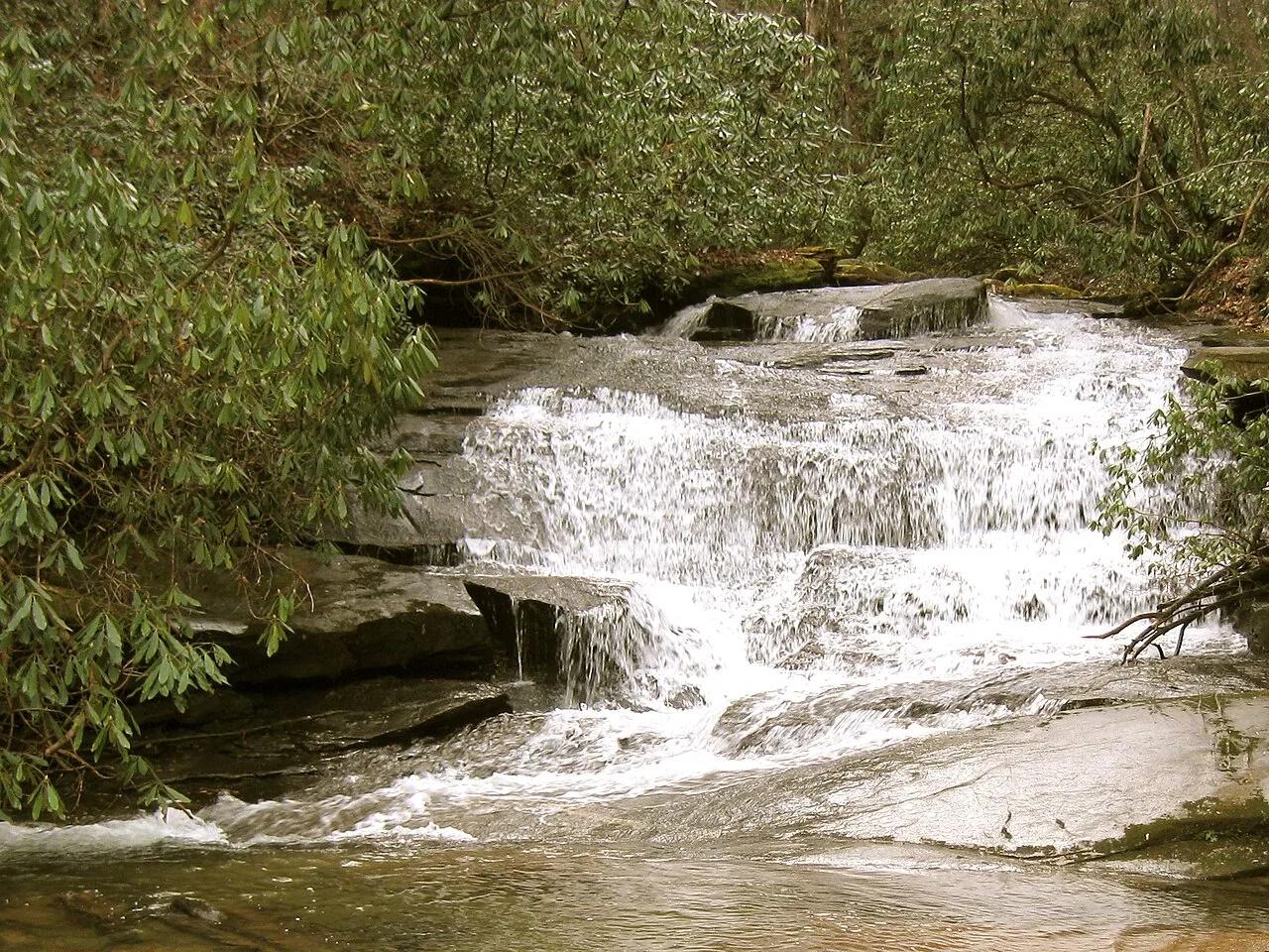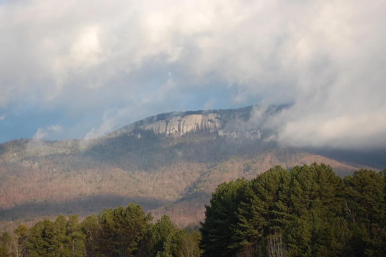
Summit
Table Rock State Park · Appalachian & Blue Ridge · South Carolina
Table Rock Summit Trail
Sheer Blue Ridge granite dome rising 2,000 feet above the Piedmont lakes of Upstate South Carolina.
- Route
- 7.2 mi
- Climb
- 2,001 ft
Browse & Discover
Overlooks, natural arches, sea caves, groves and wildlife reserves.
5 of 2,051 places
Drag to pan. Double-click, pinch or scroll to zoom. Keyboard: arrow keys and +/−. Cards below remain available.
Loading map… Browse the spot cards below at any time.
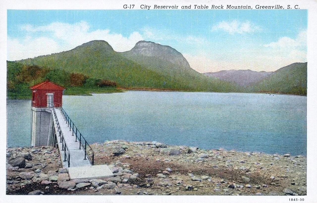
Caesars Head State Park (Mountain Bridge Wilderness) · Appalachian & Blue Ridge · South Carolina
Granite gneiss headland overlooking the Piedmont at 3,266 feet, linked to a cable suspension bridge directly above 420-foot Raven Cliff Falls.
Photo: Asheville Post Card Co. · Public domain
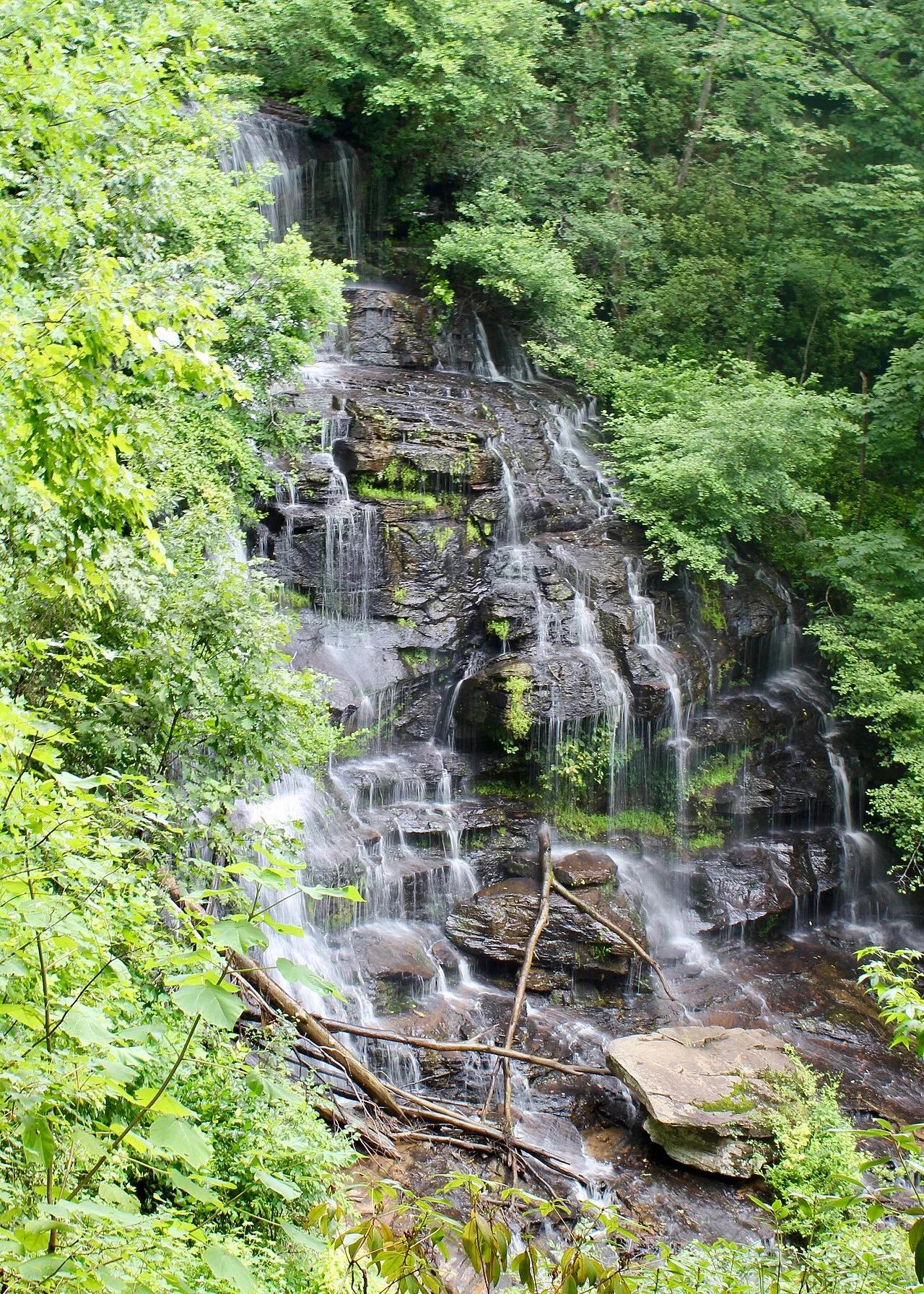
Stumphouse Park / Sumter National Forest (Walhalla) · Appalachian & Blue Ridge · South Carolina
100-foot cascading waterfall over stepped metamorphic ledges paired with an unfinished 1850s hand-chiseled blue-granite railroad tunnel and mountain bike park.
Photo: John Foxe · CC BY-SA 4.0
Foothills Trail / Jocassee Gorges · Appalachian & Blue Ridge · South Carolina
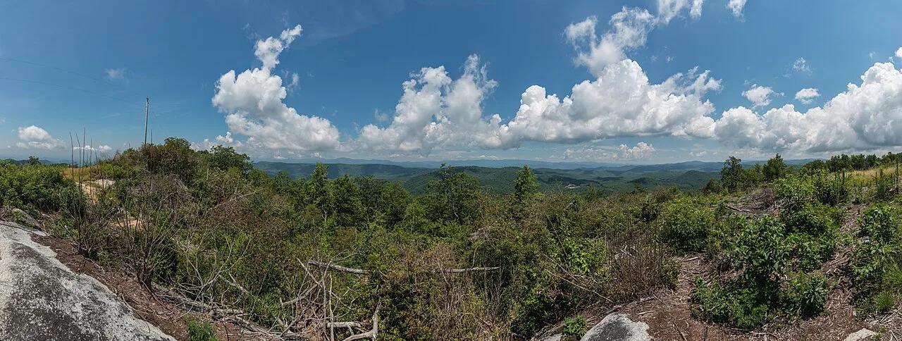
Highest point in South Carolina (3,553 ft) straddling the North Carolina border, anchored by a 360-degree Blue Ridge observation deck on the 77-mile Foothills Trail.
Photo: DXR · CC BY-SA 4.0