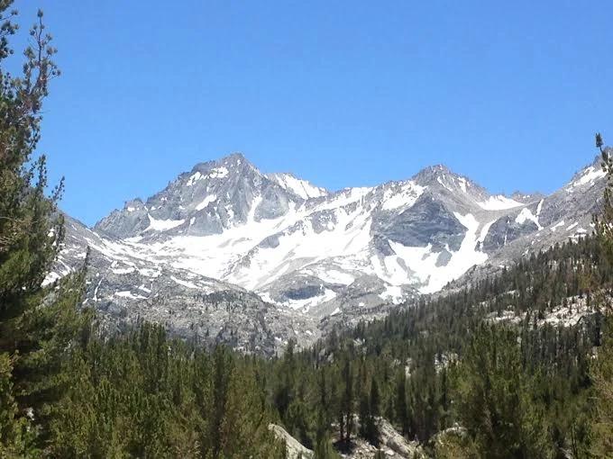
Peak
Inyo National Forest · Yosemite & Central Sierra
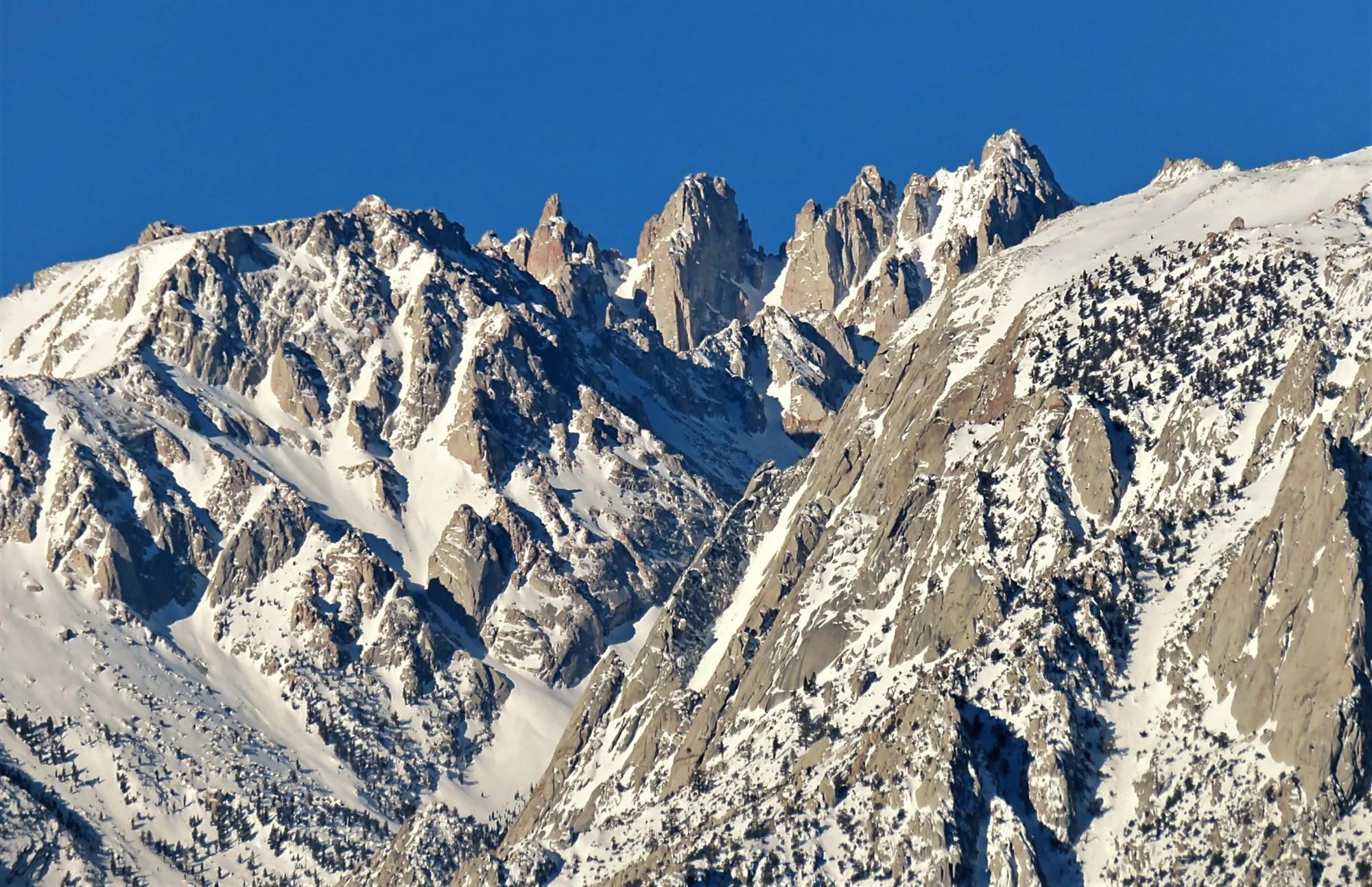
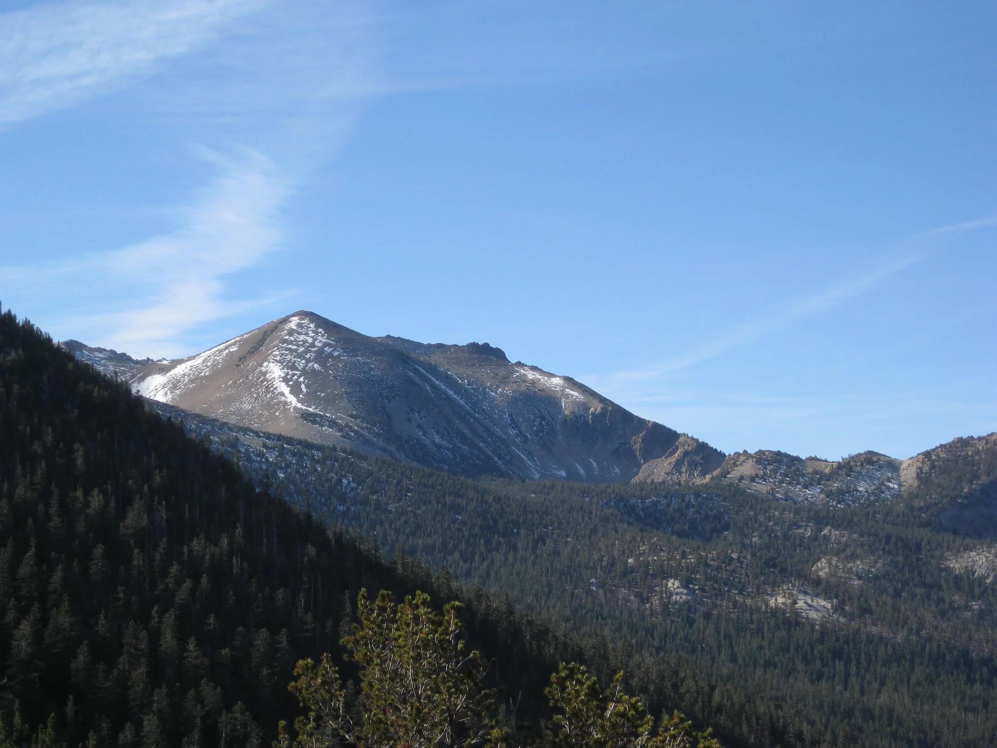
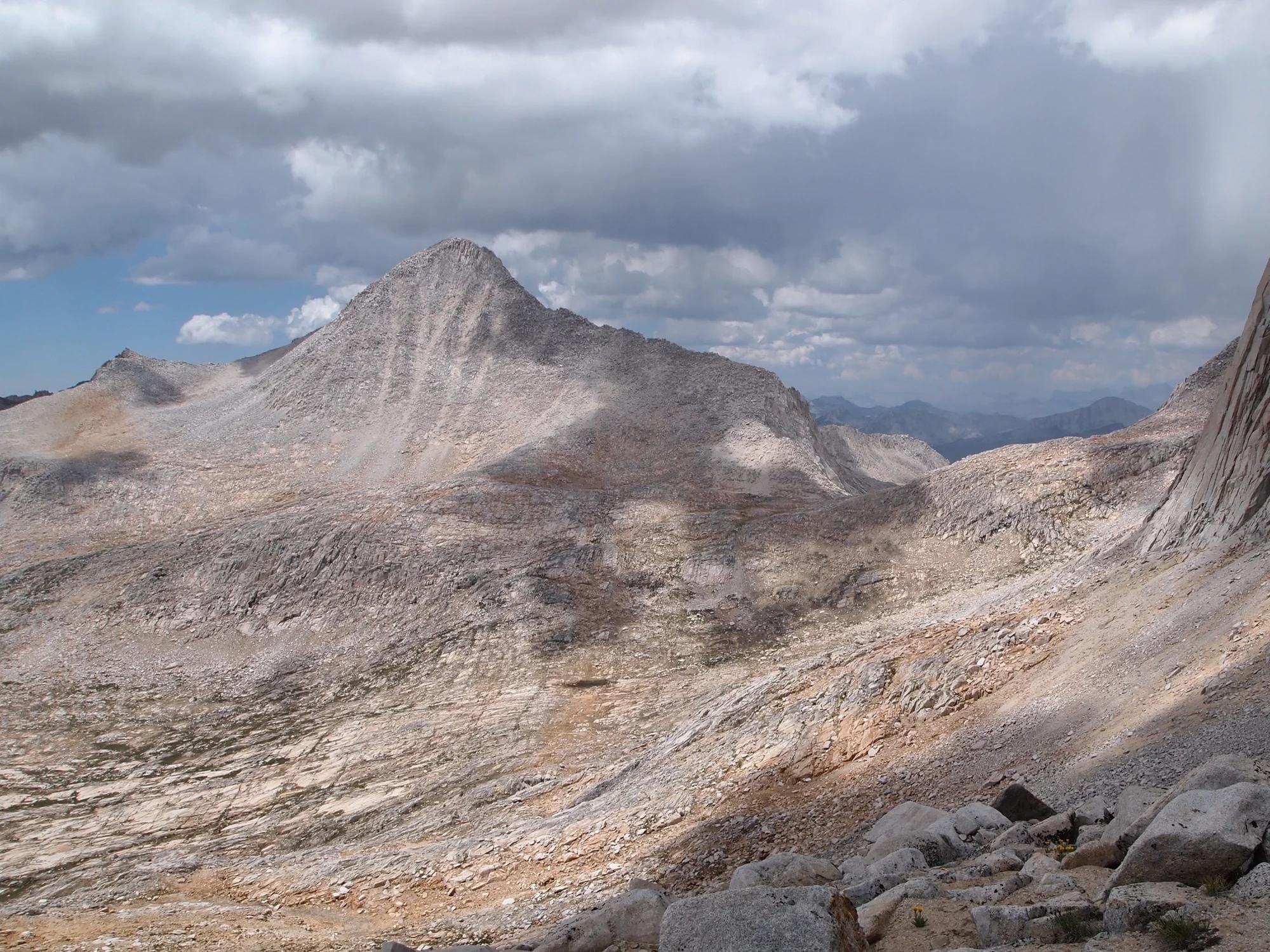
Bear Creek Spire
Verified California peak at 13,734 ft in Inyo National Forest (Yosemite & Central Sierra).
- Route
- 2.9 mi
- Climb
- 361 ft
Browse & Discover
Canyon trails, waterfall walks, ridge traverses and high peaks.
747 of 2,051 places
Drag to pan. Double-click, pinch or scroll to zoom. Keyboard: arrow keys and +/−. Cards below remain available.
Loading map… Browse the spot cards below at any time.
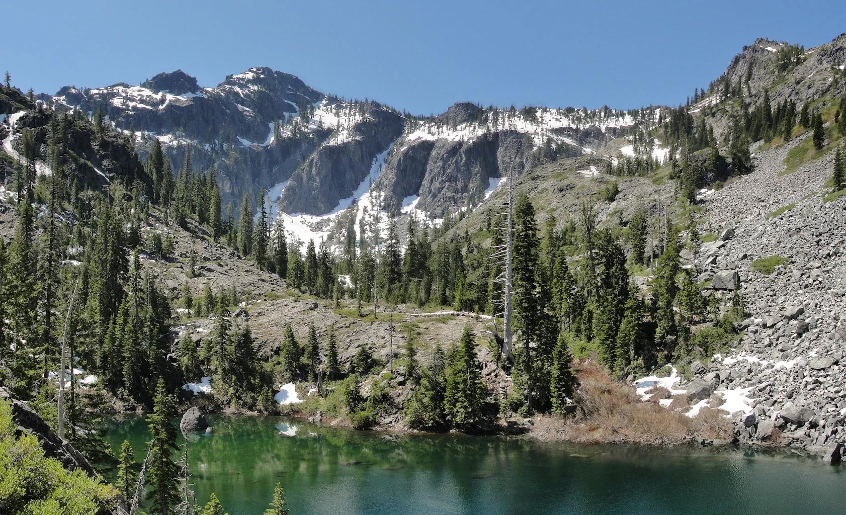
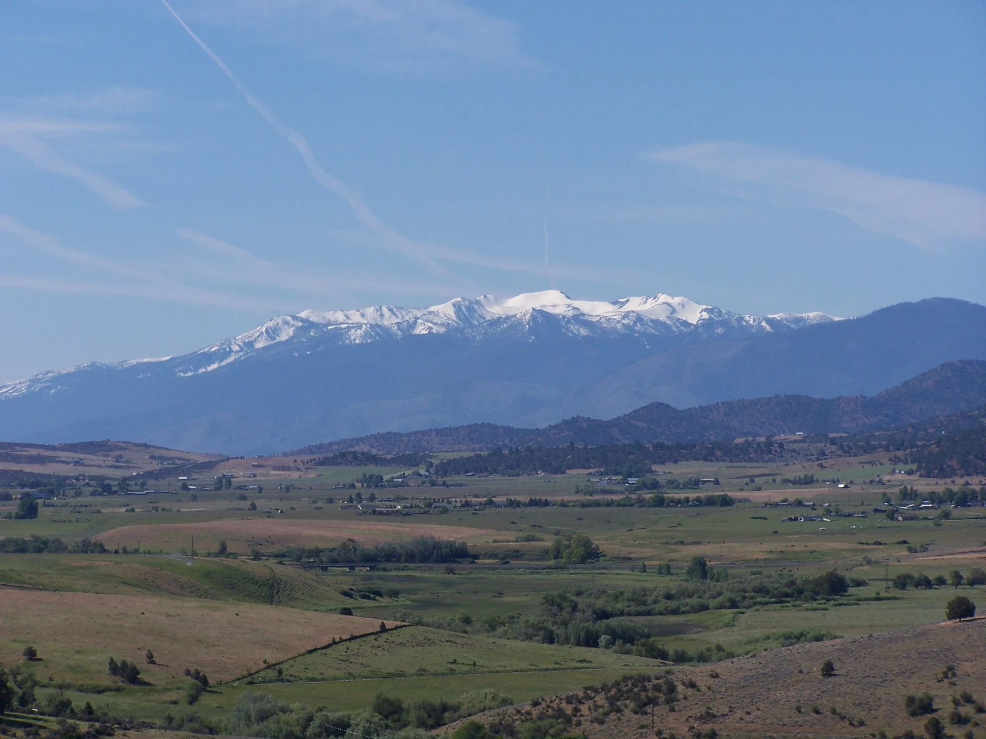
Six Rivers National Forest · Redwood & North Coast
Verified California peak at 6,407 ft in Six Rivers National Forest (Redwood & North Coast).
Photo: Miguel Vieira from Walnut Creek, CA, USA · CC BY 2.0
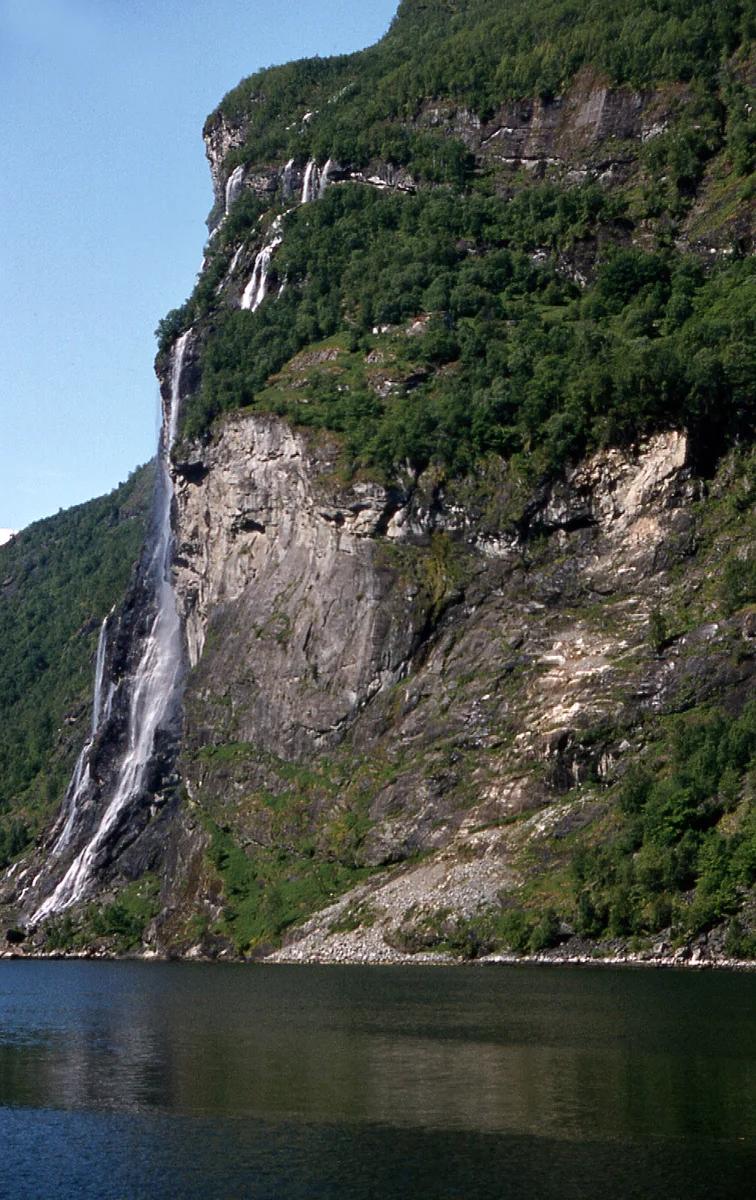
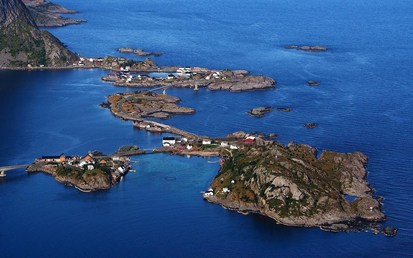
West Norwegian Fjords UNESCO · Nordic & Iceland · Norway
Deep emerald UNESCO fjord walled by vertical rock cliffs where the Seven Sisters, Suitor, and Bridal Veil waterfalls tumble straight into the sea.
Photo: W. Bulach · CC BY-SA 4.0
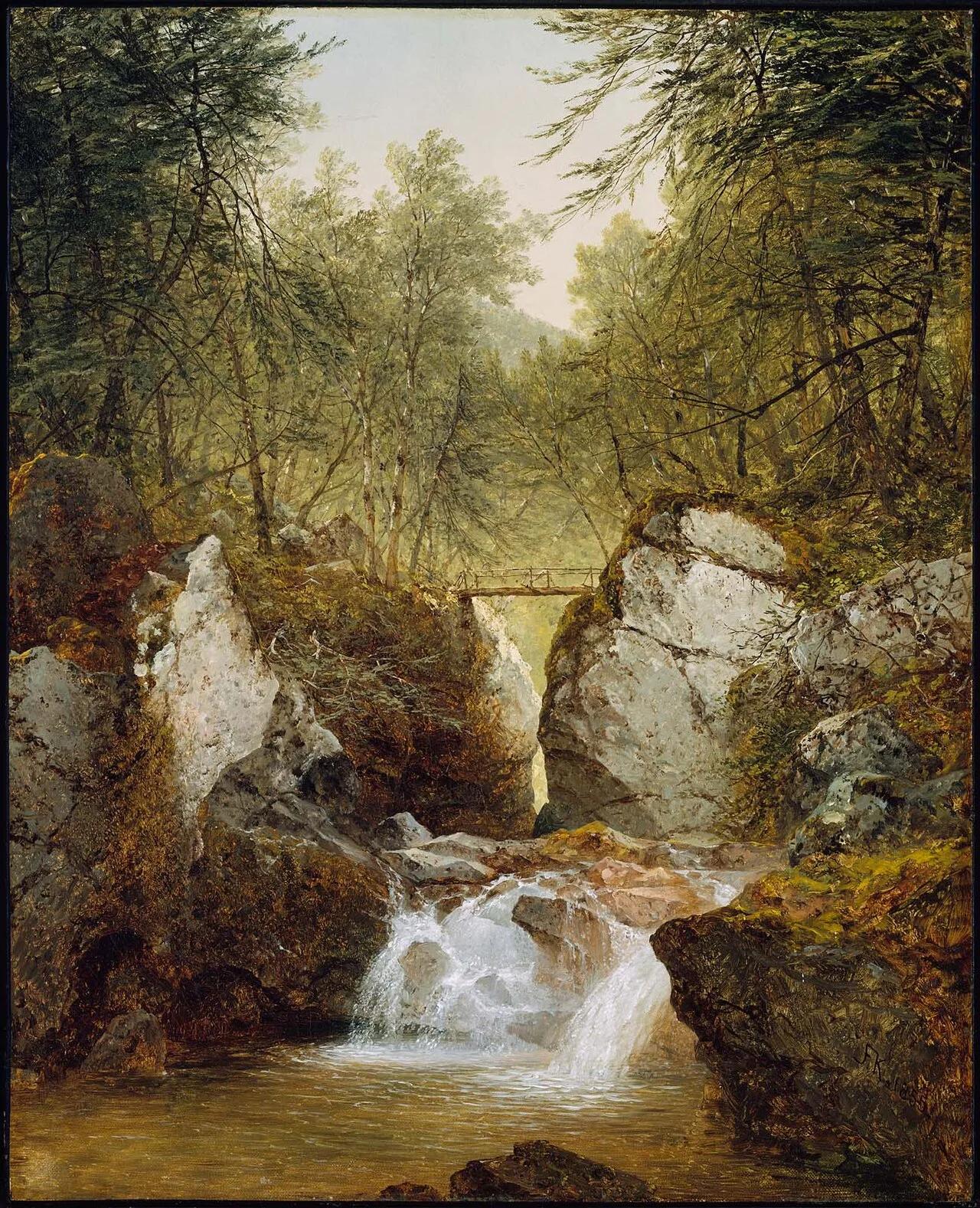
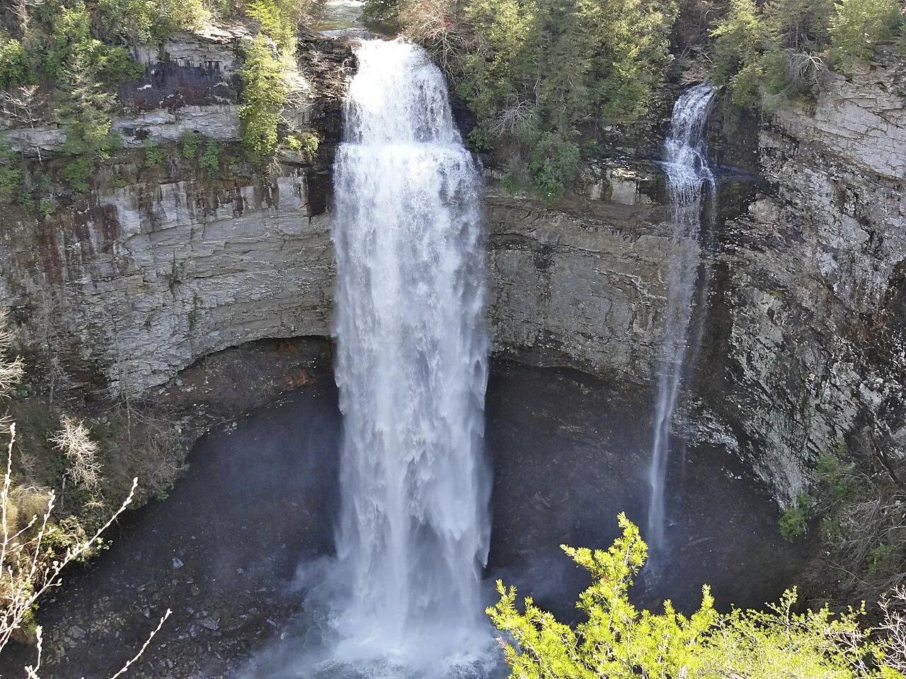
Bash Bish Falls State Park (Taconic Mountains) · Northeast & New England · Massachusetts
80-foot split-boulder twin waterfall crashing into an emerald mountain pool on the Massachusetts/New York border.
Photo: John Frederick Kensett · Public domain
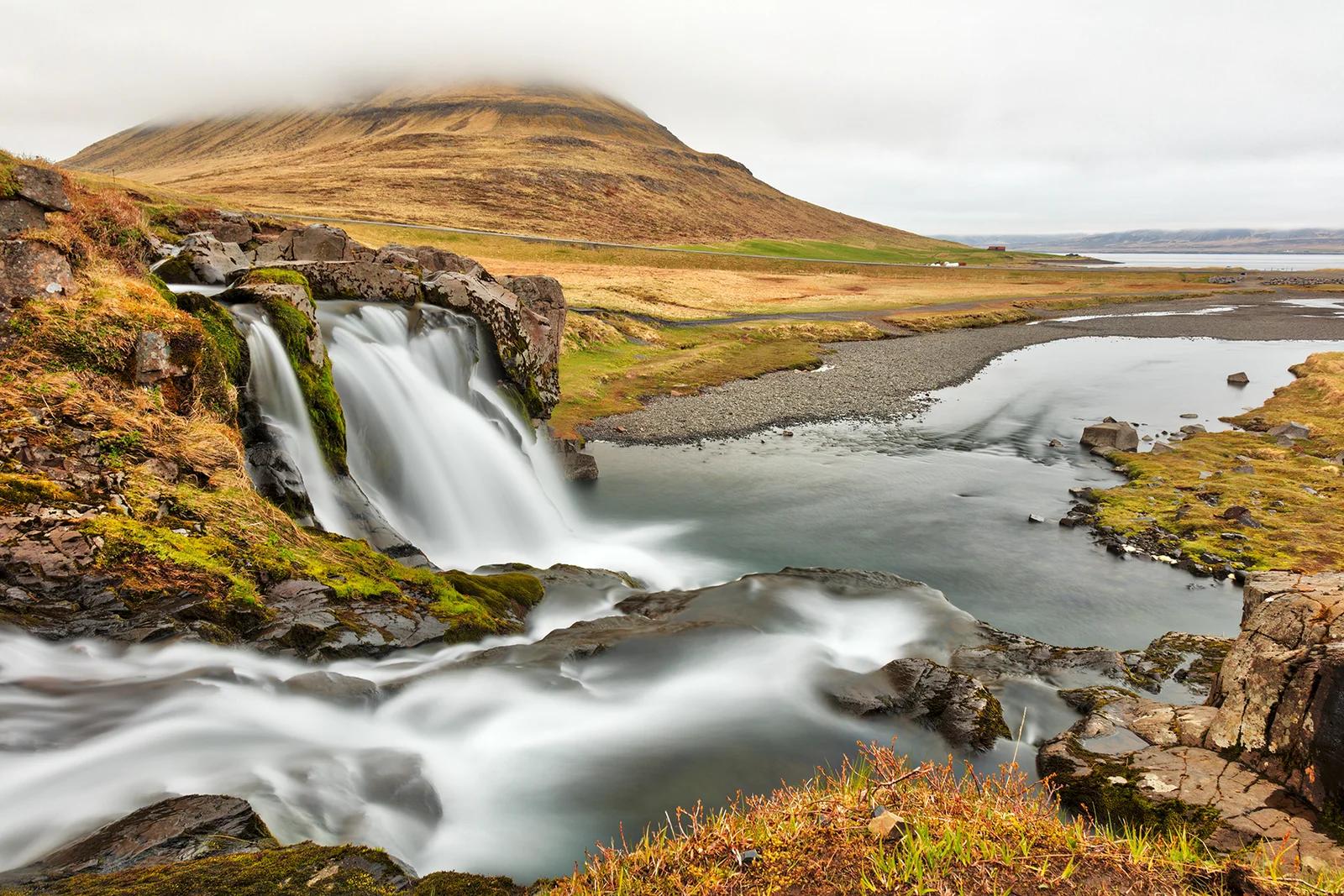
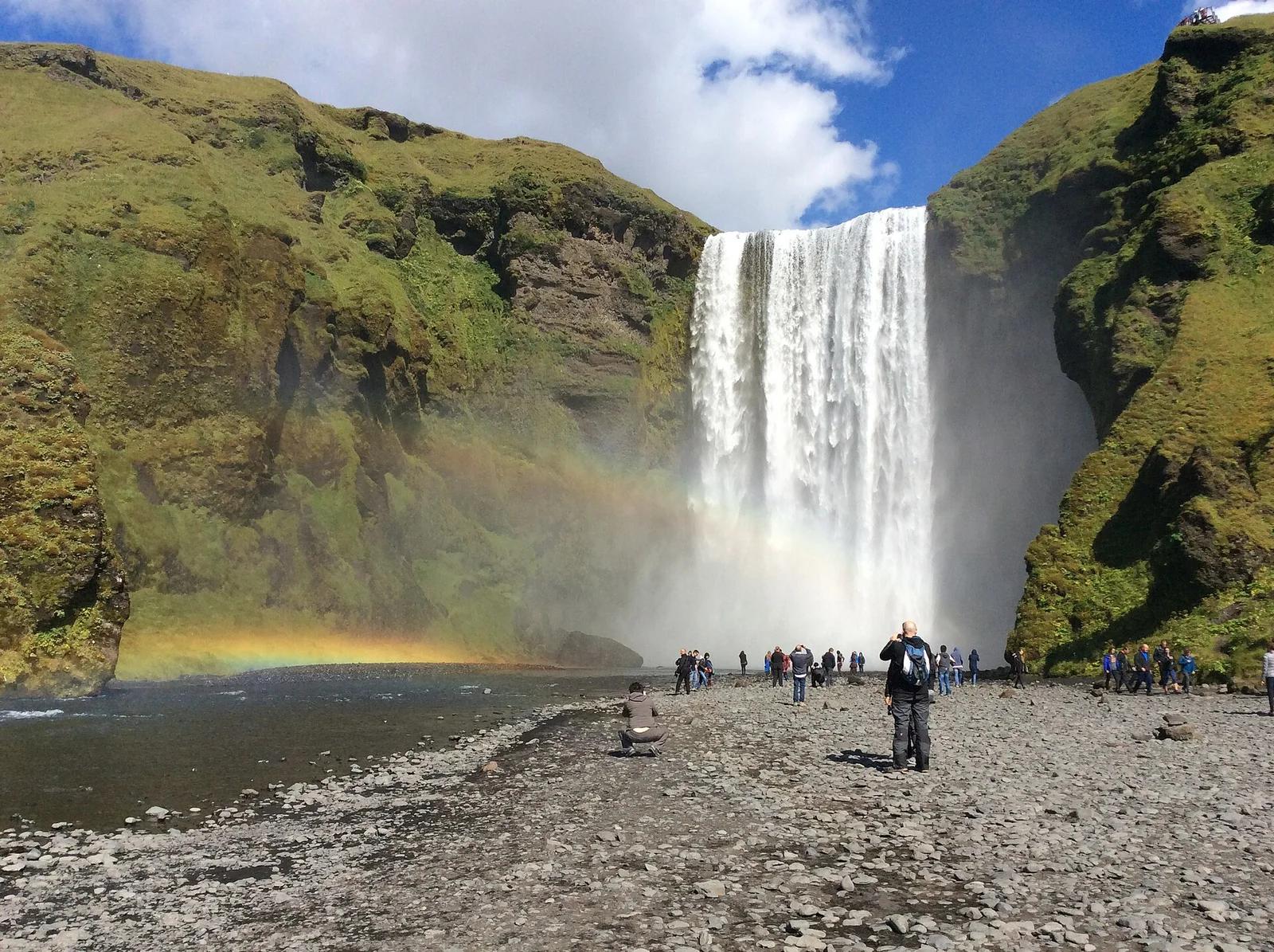
Grundarfjörður Coastal Area · Nordic & Iceland · Iceland
Distinctive freestanding arrowhead peak reflected alongside its tiered roadside waterfalls on the dramatic Snæfellsnes peninsula.
Photo: Nicolas Raymond from Bethesda, Maryland, USA · CC BY 2.0
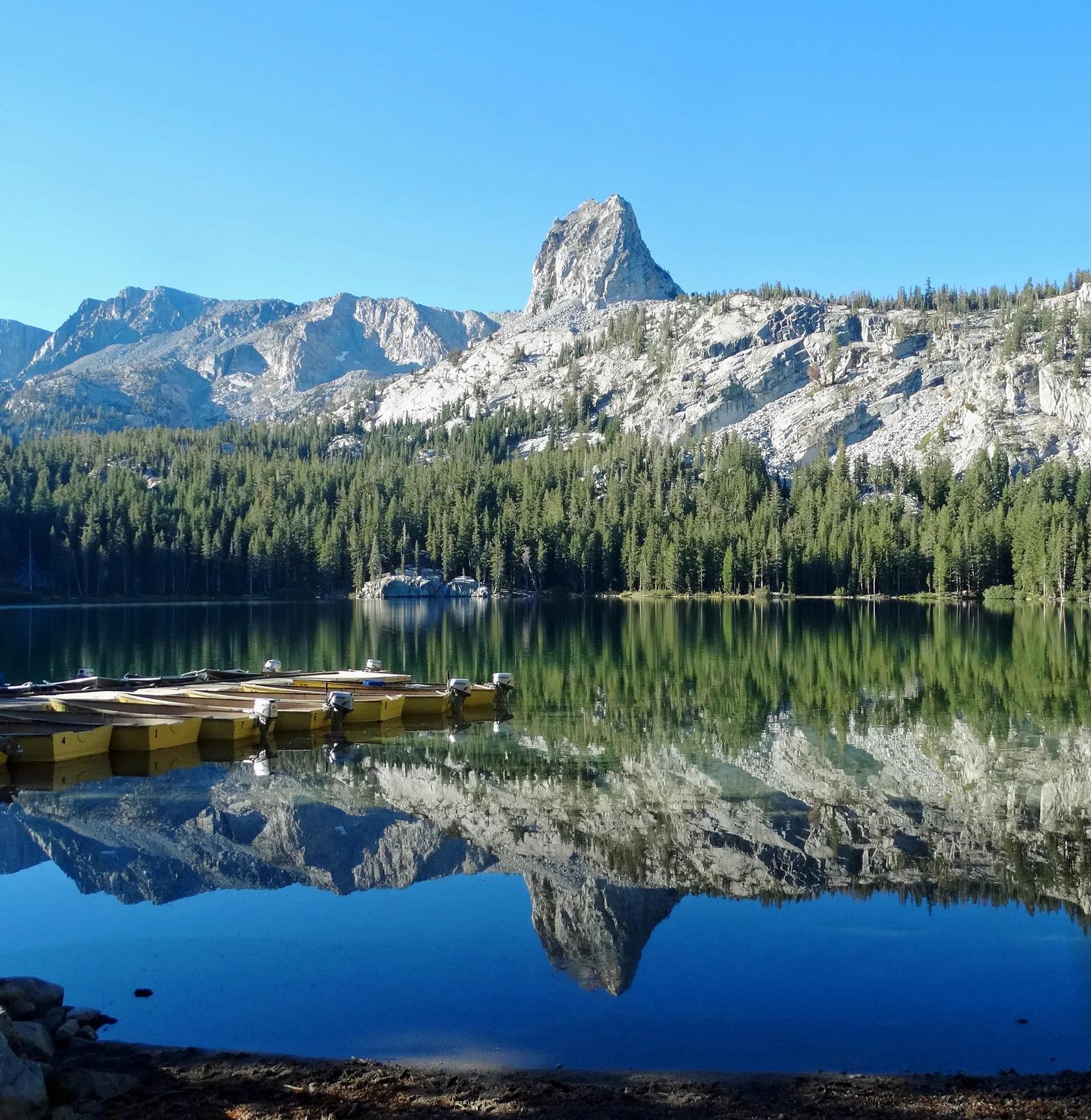
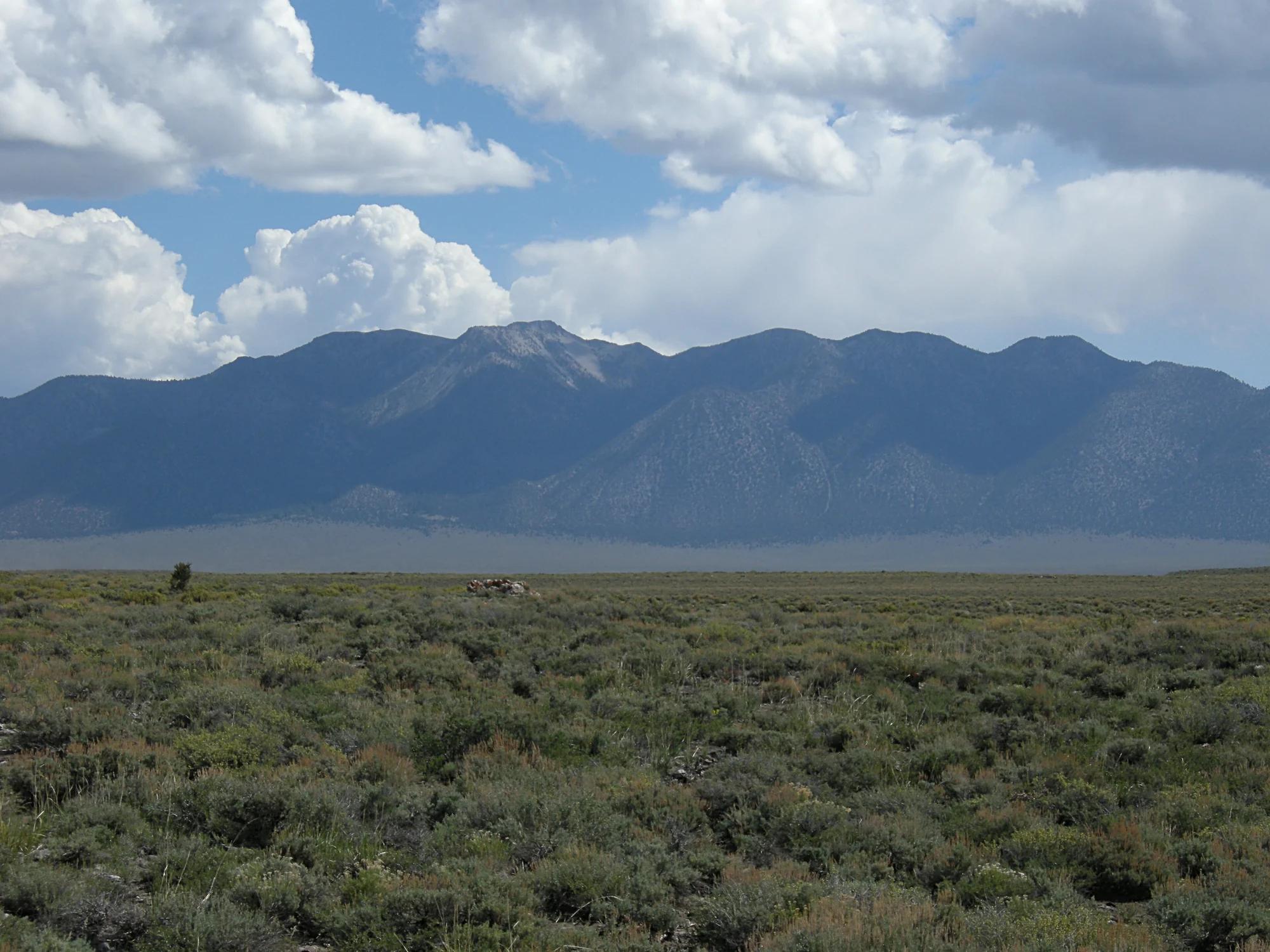
Inyo National Forest · Yosemite & Central Sierra
Verified California peak at 10,305 ft in Inyo National Forest (Yosemite & Central Sierra).
Photo: Don Graham from Redlands, CA, USA - God bless it! · CC BY-SA 2.0
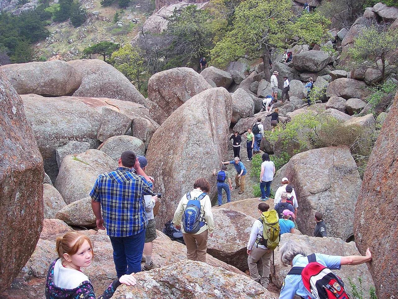
Wichita Mountains Wildlife Refuge (Charon's Garden) · Wichita Mountains · Oklahoma
Bizarre twin granite boulders perched like crab eyes atop a towering rock needle in the wild backcountry of the Charon's Garden Wilderness.
Photo: Photo David Smith U.S. Fish and Wildlife Service Headquarters · Public domain
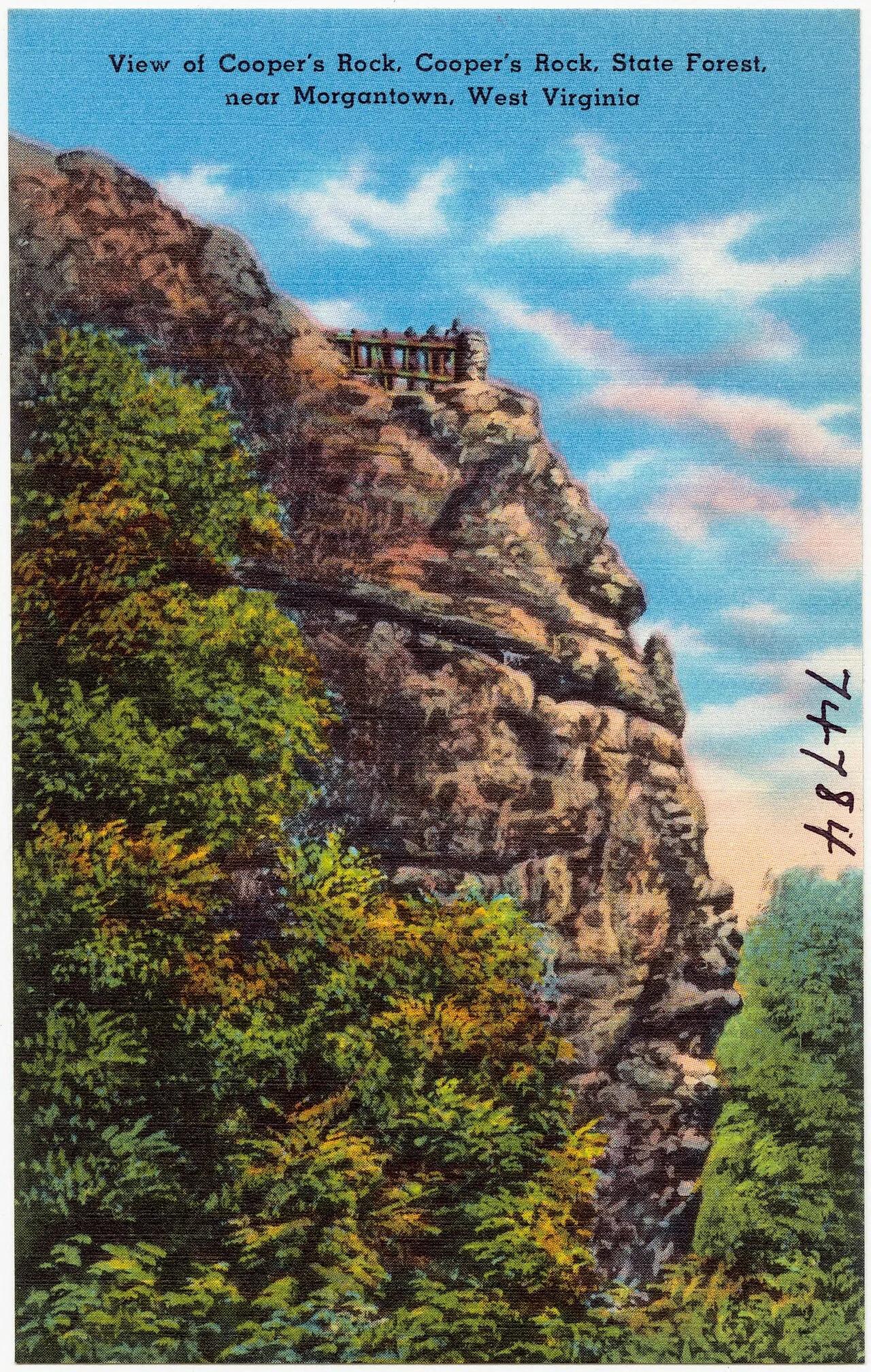
Coopers Rock State Forest · Appalachian & Blue Ridge · West Virginia
Cantilevered Pottsville sandstone cliff overlook perched 1,200 feet above the forested Cheat River Gorge.
Photo: Pub. by Photo Crafters Inc., Morgantown, W. VA. "Tichnor Quality Views," Reg.... · Public domain
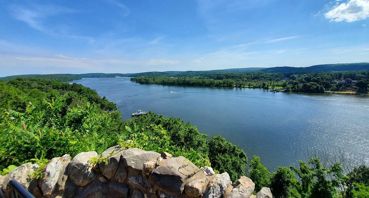
Gillette Castle State Park · Lower Connecticut River Valley · Connecticut
A medieval-style fieldstone castle built atop the Seventh Sister hill commanding panoramic vistas of the tidal Connecticut River.
Photo: It'sOnlyMakeBelieve · CC BY-SA 4.0
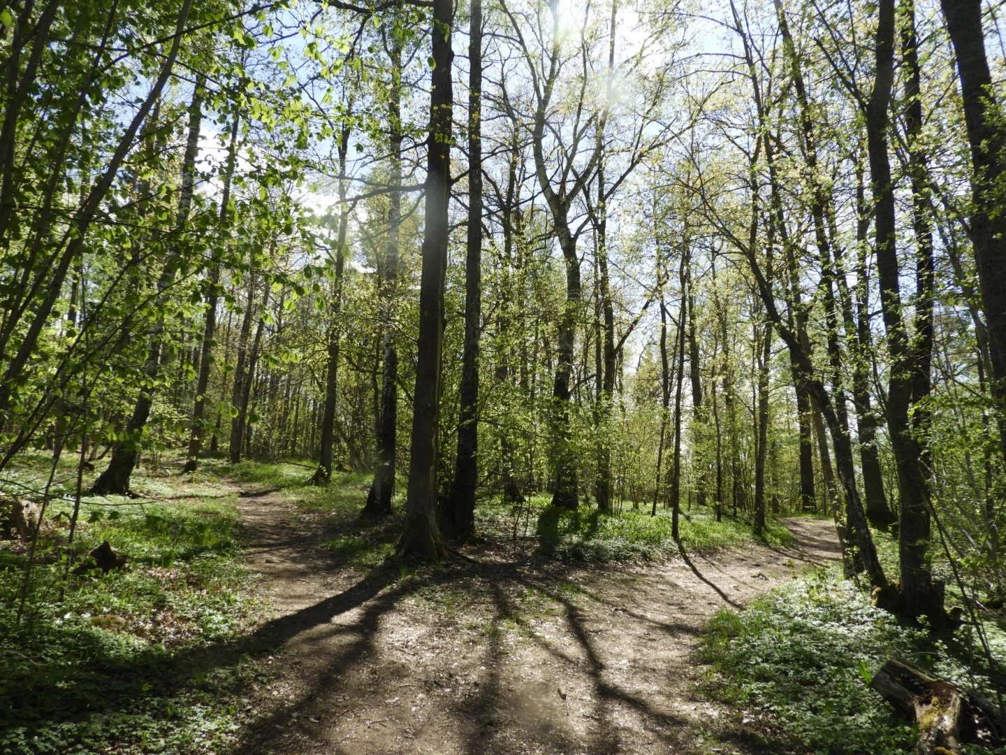
Järvafältets Naturreservat · Nordic & Iceland · Sweden
Globally renowned champion disc golf park woven through manicured meadows, undulating forested ridges, and historic parkland on northern Stockholm's Järvafältet.
Photo: Kjellesarts · CC BY-SA 4.0
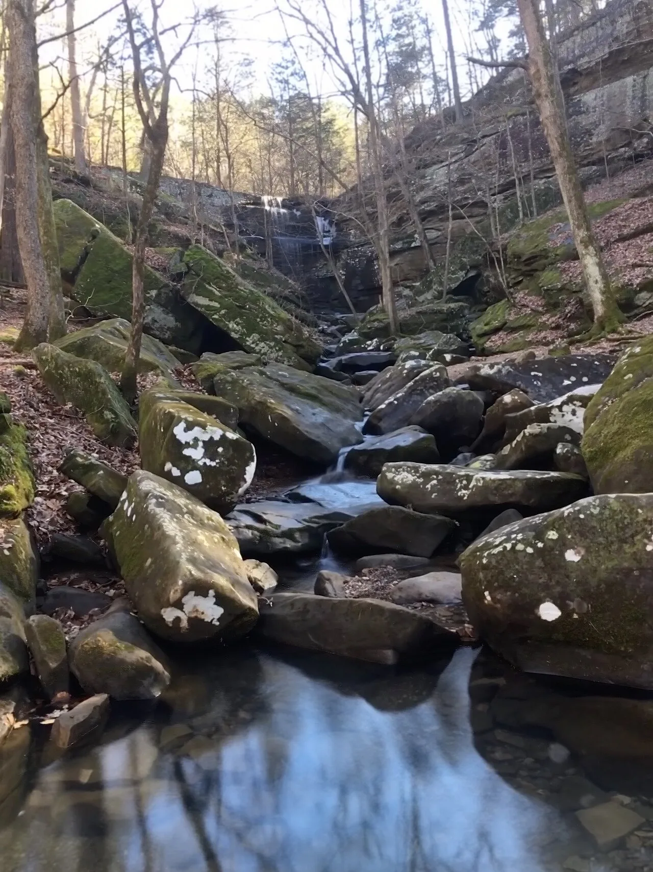
Shawnee National Forest (Burden Falls Wilderness) · Southern Illinois / Shawnee · Illinois
Illinois's largest waterfall complex, dropping over a series of sandstone ledges including an upper 20-foot drop and a thunderous 80-foot gorge plunge.
Photo: Mrostrichman · CC BY-SA 4.0

Backbone State Park (Dundee) · Northeast Iowa · Iowa
Iowa's oldest state park (1919), centering on a dramatic narrow bedrock ridge of Silurian dolomite flanked on three sides by the Maquoketa River loop.
Photo: Kevin Schuchmann · CC BY-SA 3.0
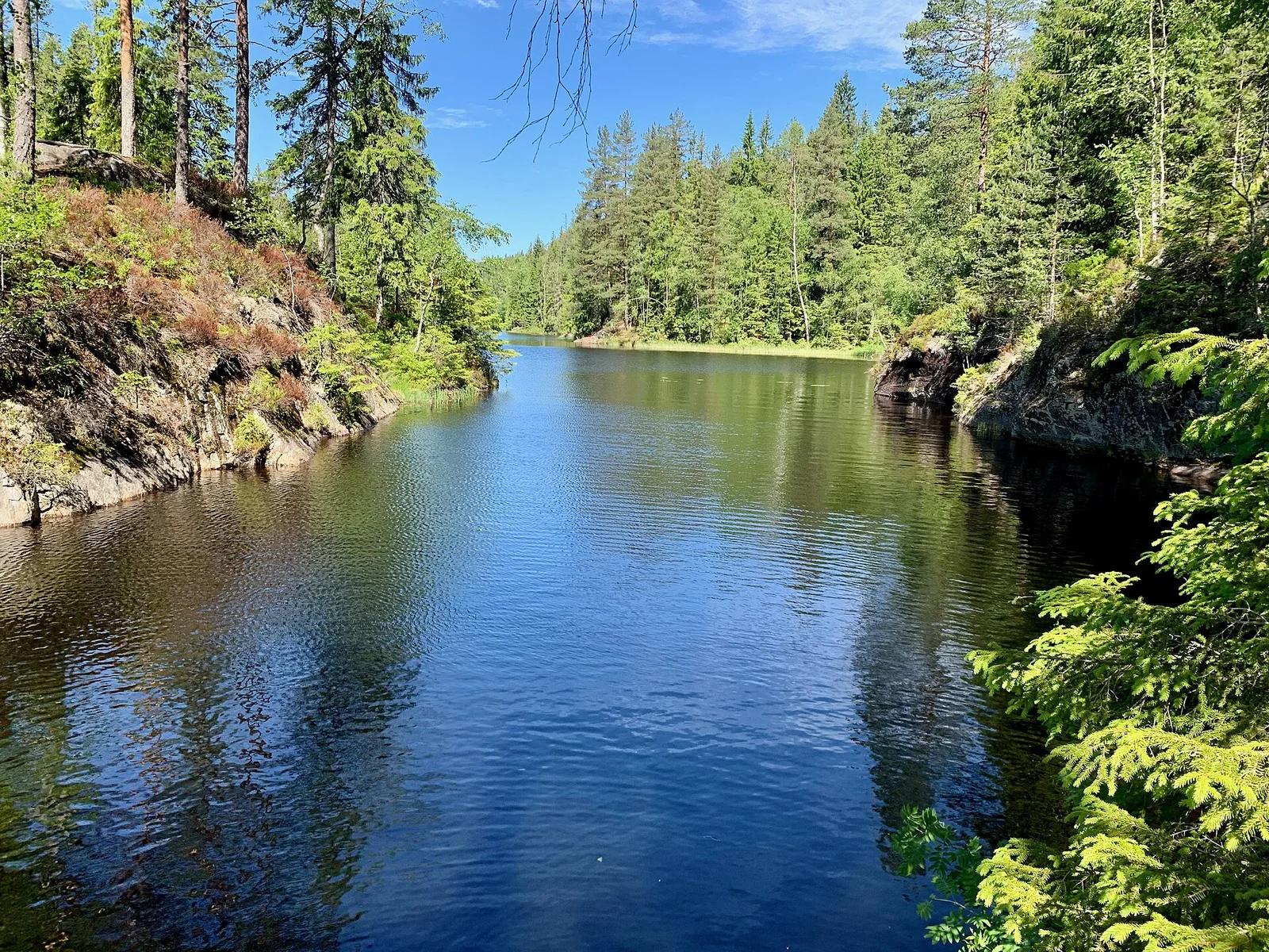
Østmarka Nature Reserve · Nordic & Iceland · Norway
Rated among the top disc golf courses on Earth, carved through majestic Norwegian spruce forests, rolling fairways, and rugged granite outcroppings in Østmarka.
Photo: Kjetil Ree · CC BY-SA 3.0
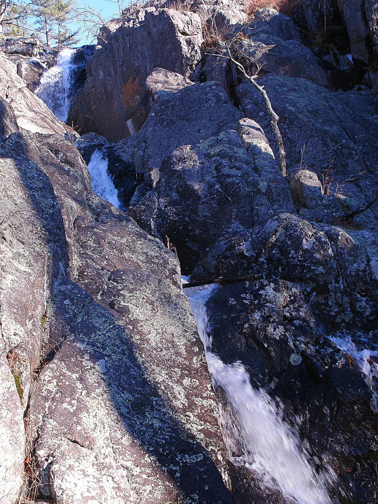
Taum Sauk Mountain State Park · St. Francois Mountains · Missouri
Missouri's highest point (1,772 feet) paired with its tallest wet-weather waterfall, plunging 132 feet over ancient Precambrian volcanic rhyolite ledges.
Photo: Kbh3rd · CC BY-SA 3.0
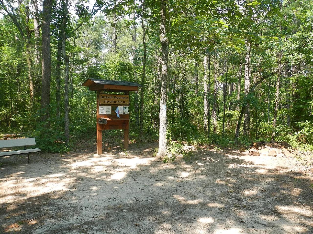
Bienville Parish Rolling Hills (Bryceland) · South & Gulf Coast · Louisiana
Highest natural elevation in Louisiana (535 ft)—a wooded Eocene ferricrete sandstone ridge ablaze with wild native azaleas in spring.
Photo: Fredlyfish4 · CC BY-SA 3.0
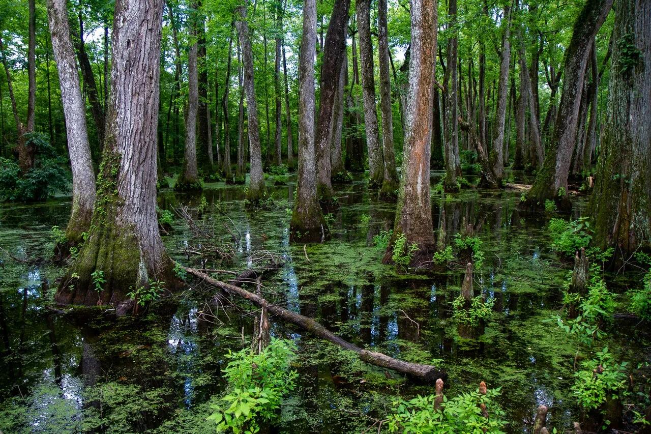
Natchez Trace Parkway (Canton) · South & Gulf Coast · Mississippi
Loop boardwalk curving directly across an old-growth bald cypress and water tupelo slough along the historic 444-mile Natchez Trace bike and scenic corridor.
Photo: Arthur T. LaBar · CC BY 2.0