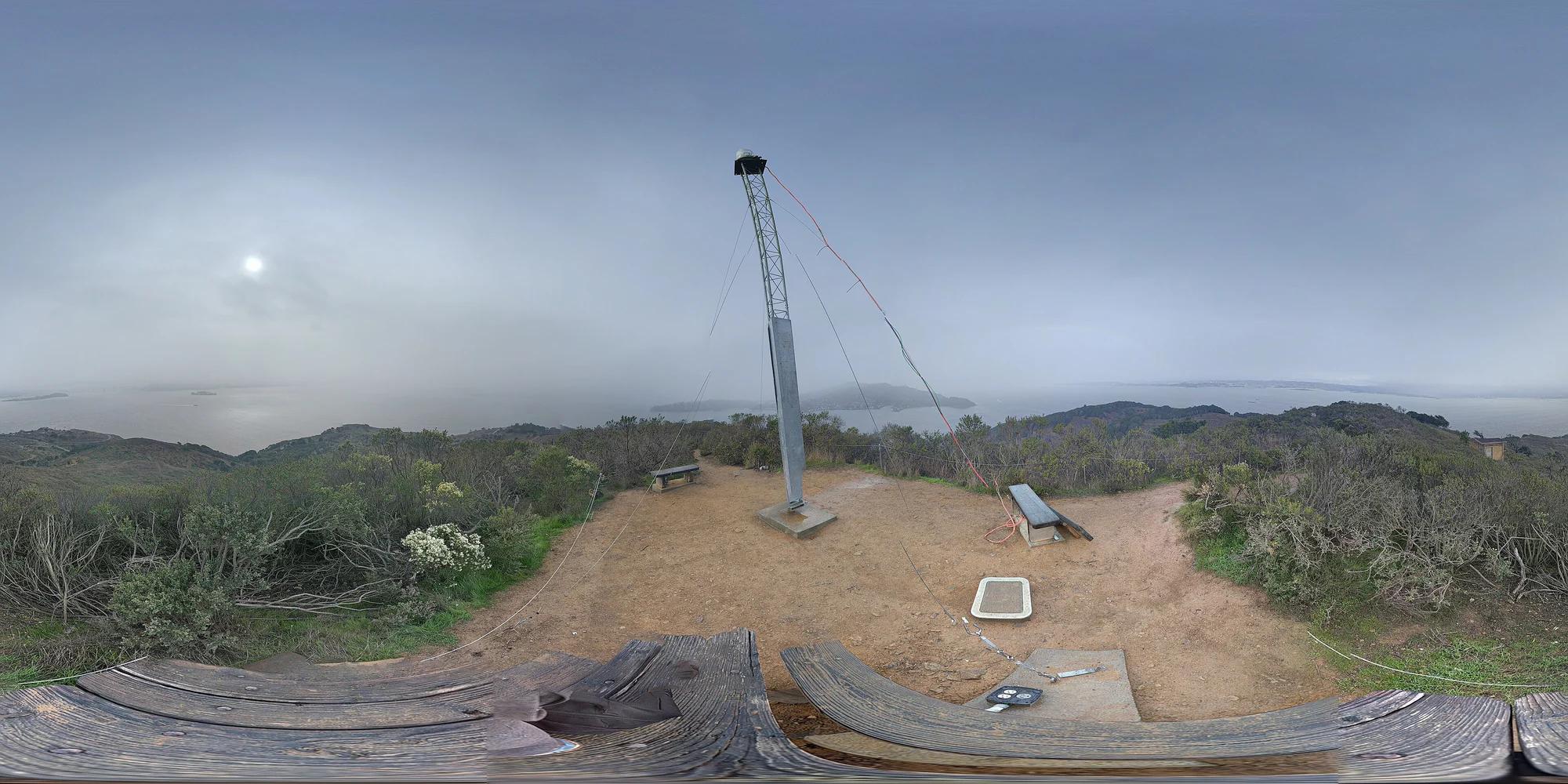
Peak
Golden Gate National Recreation Area · Mount Tamalpais & Marin
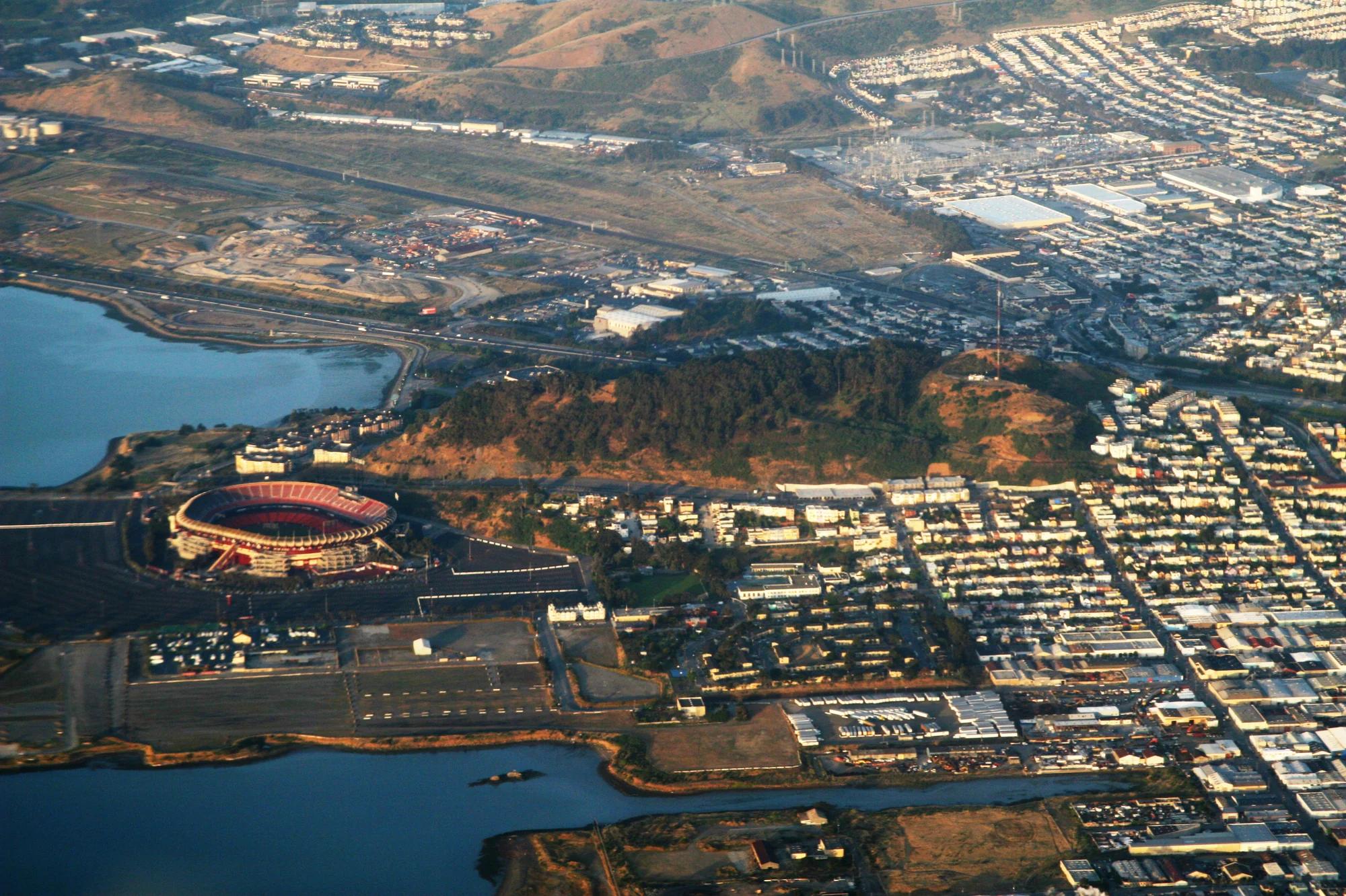
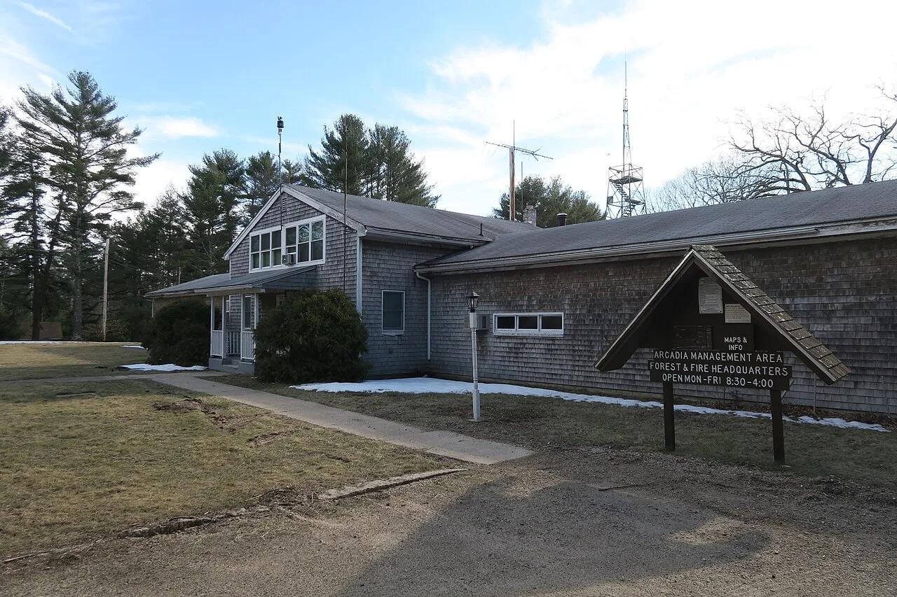
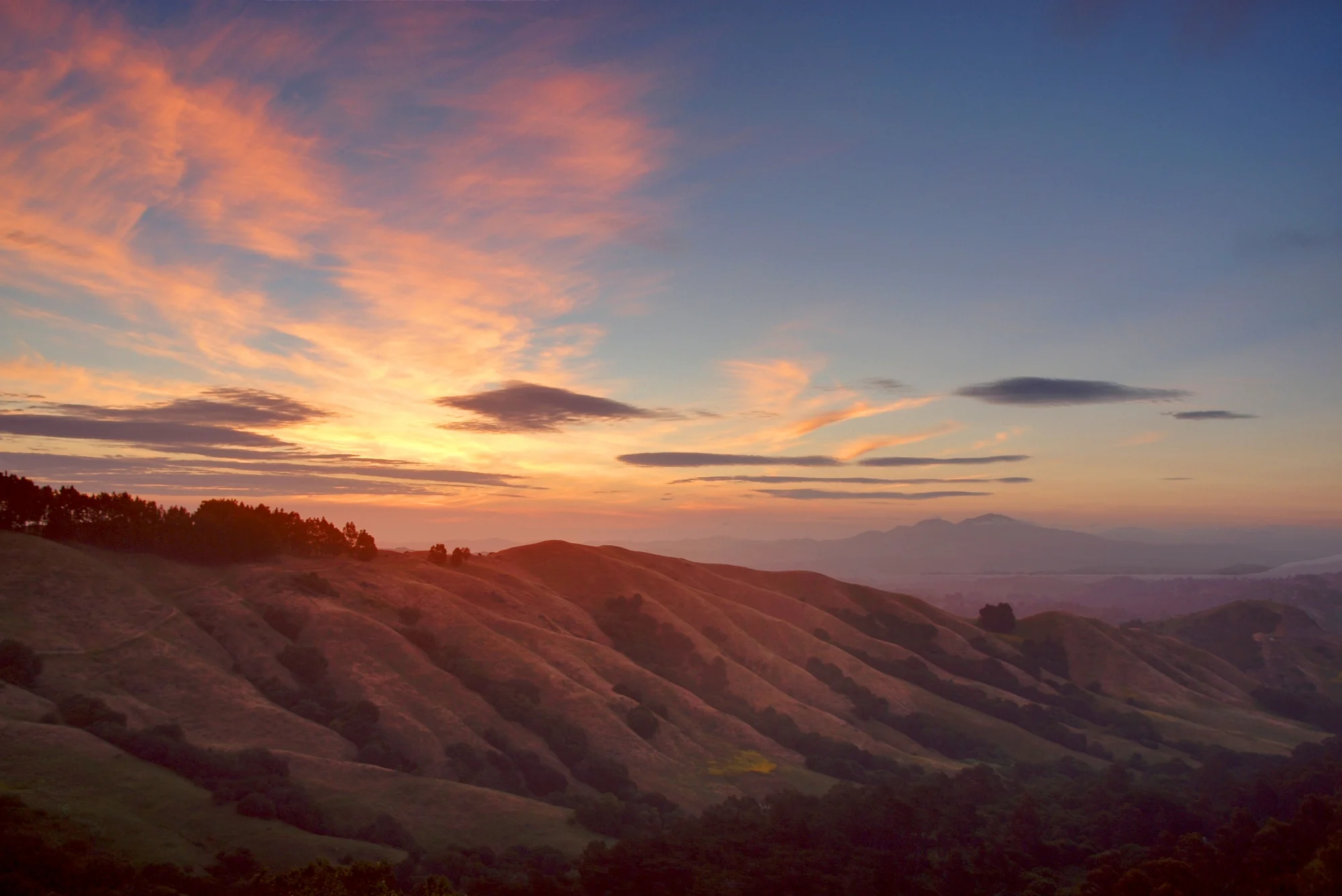
Mount Caroline Livermore
Verified California peak at 787 ft in Golden Gate National Recreation Area (Mount Tamalpais & Marin).
- Route
- 2.9 mi
- Climb
- 361 ft
Browse & Discover
Canyon trails, waterfall walks, ridge traverses and high peaks.
747 of 2,051 places
Drag to pan. Double-click, pinch or scroll to zoom. Keyboard: arrow keys and +/−. Cards below remain available.
Loading map… Browse the spot cards below at any time.
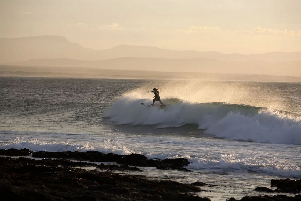
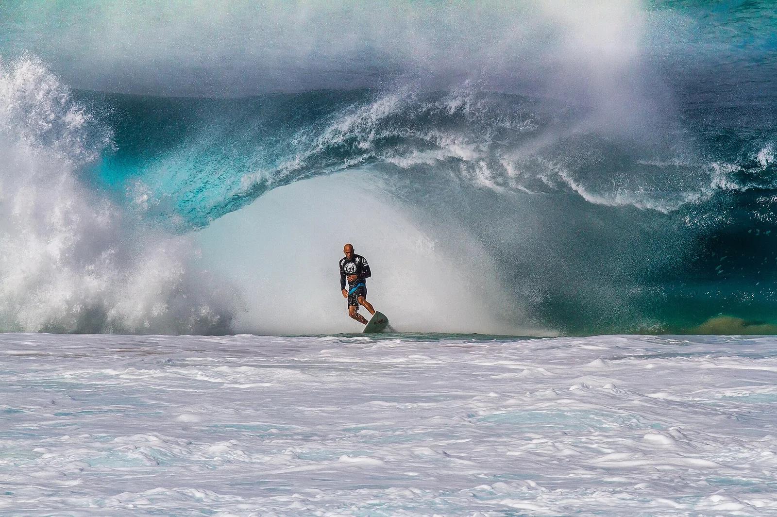
Kabeljous & Jeffreys Bay Coastal Reserve · Africa & Middle East · South Africa
The undisputed premier right-hand point break on Earth, peeling over a kilometre along cobblestone reefs with legendary fast racing barrel sections.
Photo: South African Tourism from South Africa · CC BY 2.0
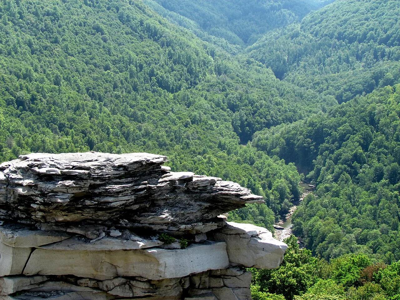
Blackwater Falls State Park · Appalachian & Blue Ridge · West Virginia
Wooden observation deck on a ring of massive sandstone boulders overlooking a 1,000-foot-deep bend of the Blackwater River Gorge.
Photo: bobistraveling · CC BY 2.0
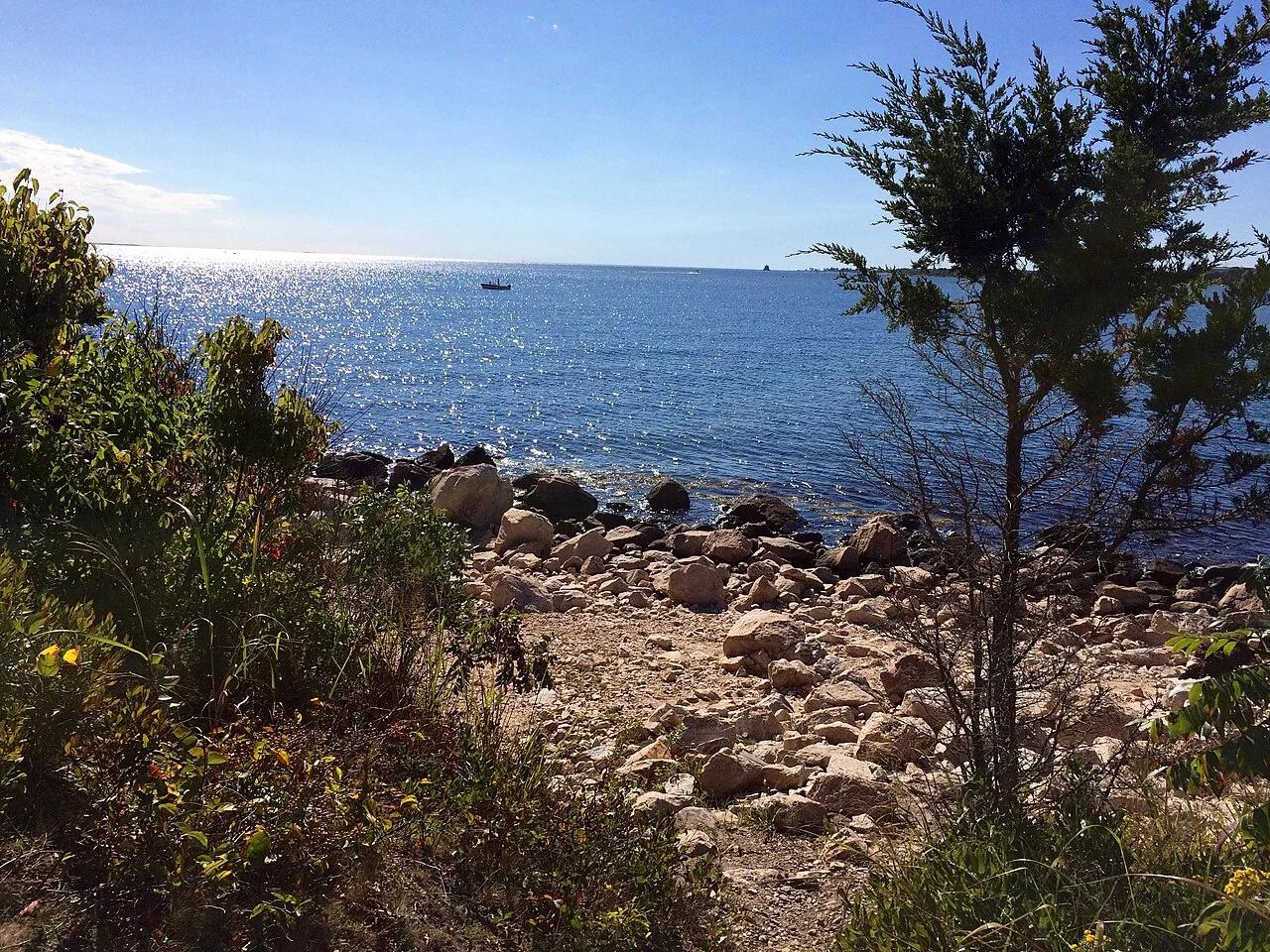
Bluff Point State Park & Coastal Reserve · Long Island Sound Shoreline · Connecticut
An 800-acre coastal headland peninsula on Long Island Sound—the last remaining undeveloped promontory in Connecticut.
Photo: Morrowlong · CC BY-SA 4.0
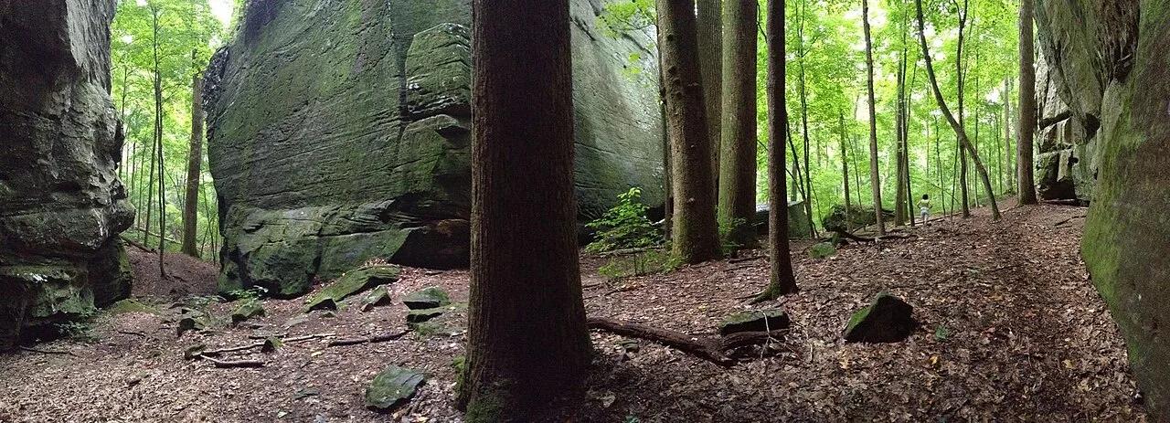
Shawnee National Forest (Karbers Ridge) · Southern Illinois / Shawnee · Illinois
Circular rim trail around a prehistoric stone fort bluff leading down wooden stairs through a narrow crevice into massive sandstone Ox-Lot Cave.
Photo: usfs_Eastern_Region · Public domain
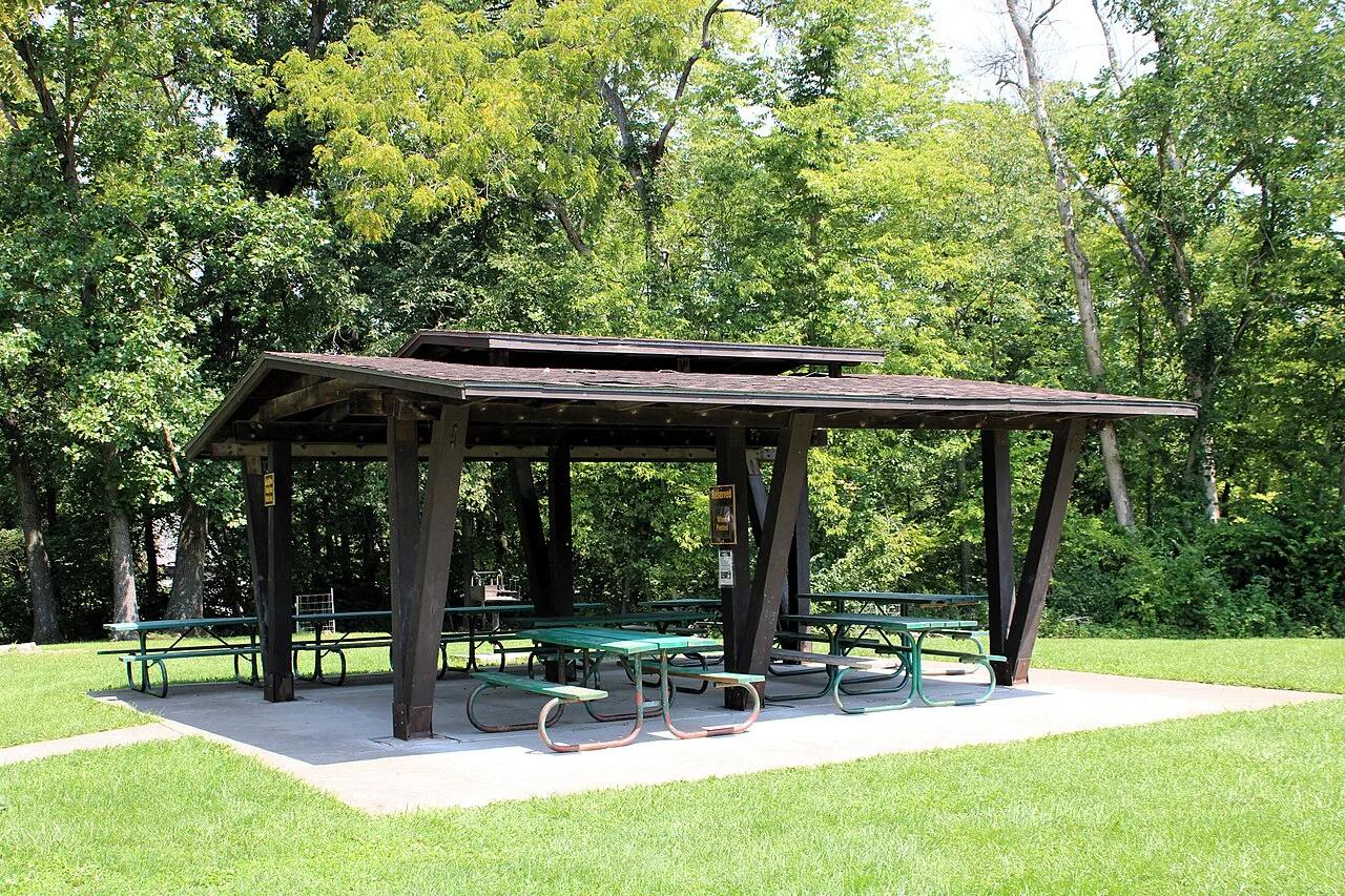
Wildcat Den State Park (Muscatine) · East Central Iowa · Iowa
Sandstone canyons and towering formations like Steamboat Rock and Devil's Punchbowl, anchored by an operational 1848 water-powered grist mill.
Photo: Farragutful · CC BY-SA 4.0
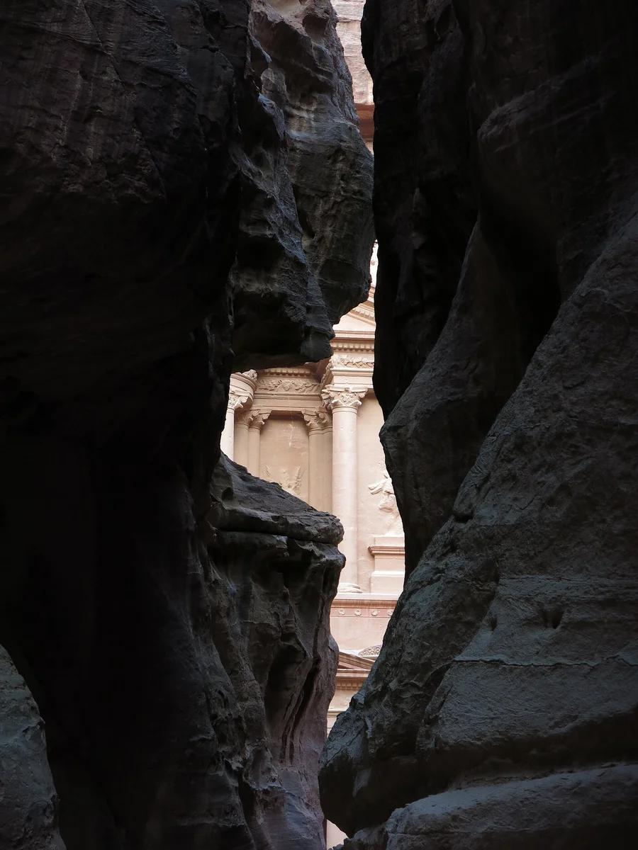
Petra Archaeological Park UNESCO · Africa & Middle East · Jordan
Ancient sandstone gorge splitting high rose-hued cliffs for 1.2 kilometres, dramatically framing the rock-carved Hellenistic facade of the Treasury (Al-Khazneh).
Photo: LiAnna Davis · CC BY-SA 3.0
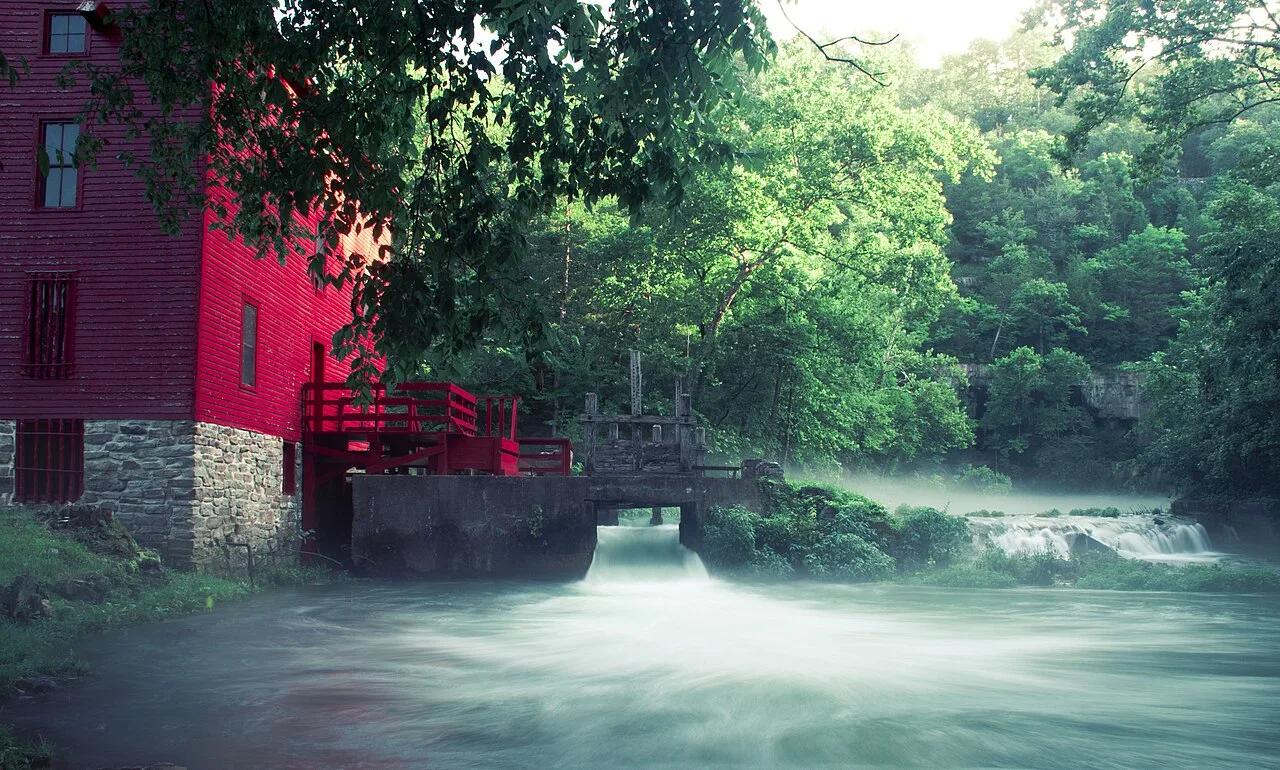
Ozark National Scenic Riverways · Ozarks · Missouri
Picture-postcard 1894 scarlet grist mill perched over an electric-blue subterranean spring basin producing 81 million gallons of 57-degree water daily.
Photo: 28Prozent · CC BY-SA 4.0
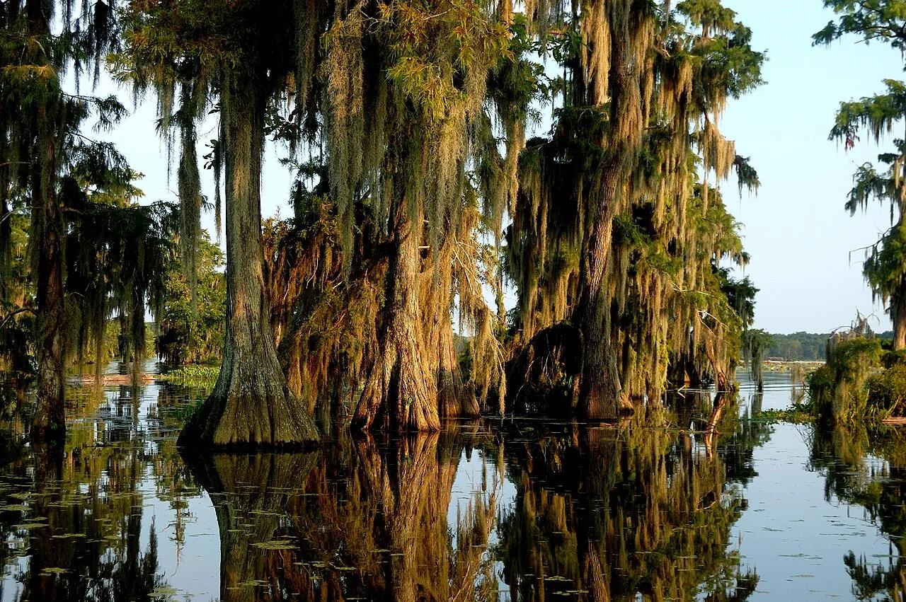
Cypress Island Preserve (Breaux Bridge) · South & Gulf Coast · Louisiana
Ancient mossy tupelo-cypress swamp sanctuary hosting thousands of nesting roseate spoonbills, egrets, and alligators along a placid kayak loop.
Photo: Pierre5018 · CC BY-SA 4.0
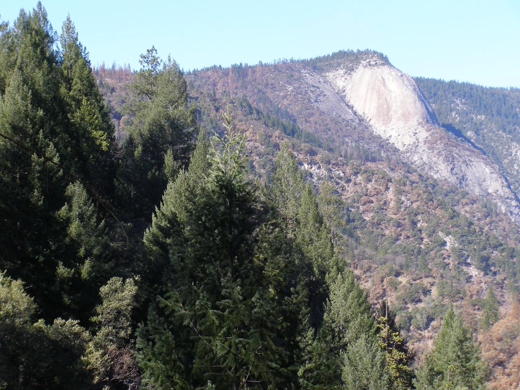
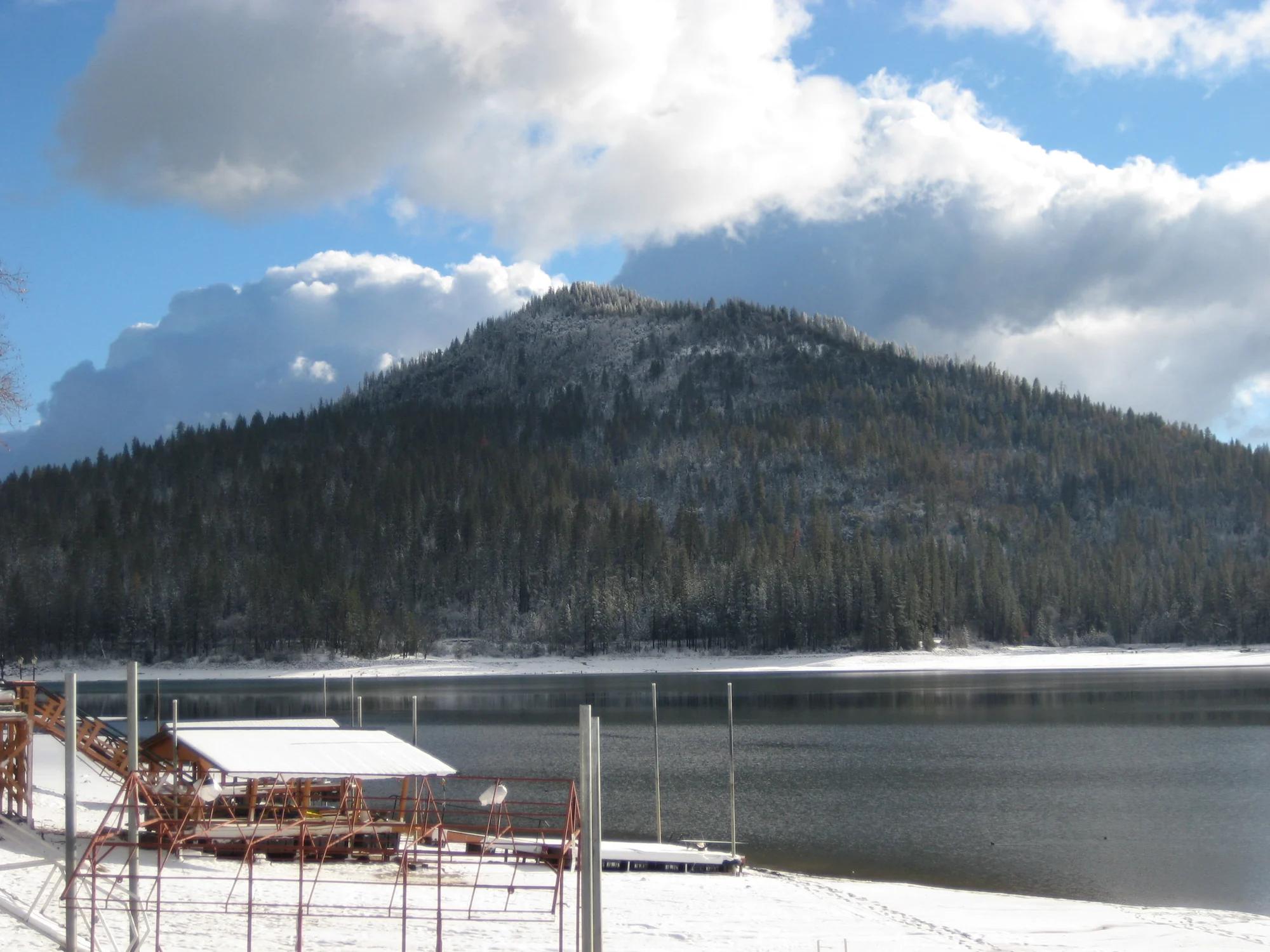
Central Valley & Foothills
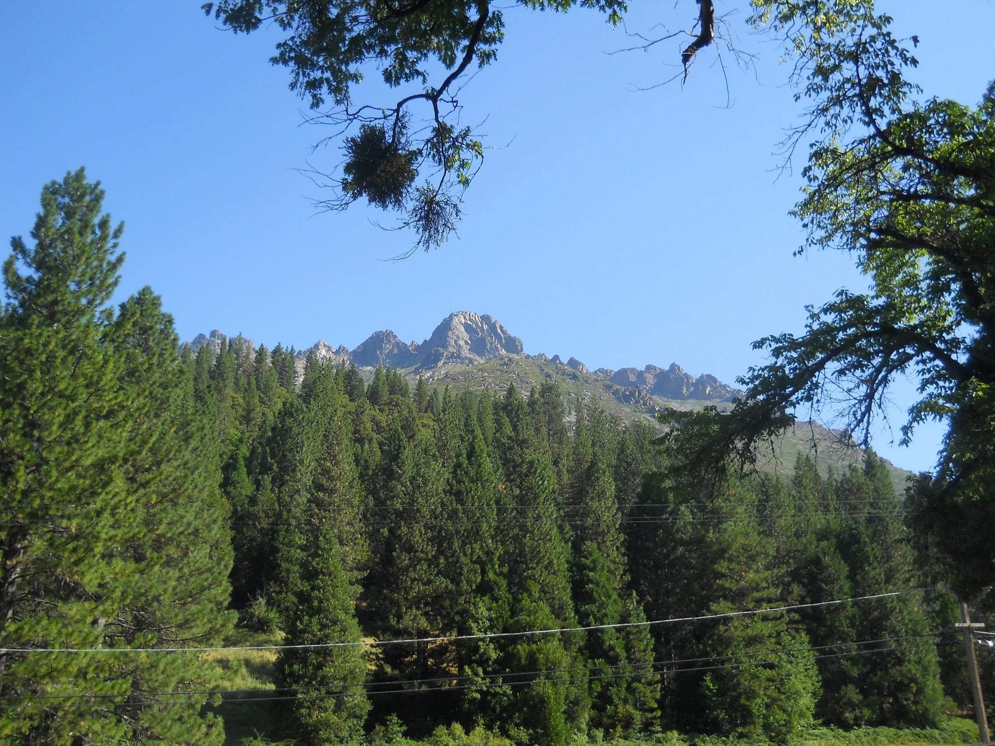
Verified California peak at 3,353 ft in Central Valley & Foothills.
Photo: Derek Wolfgram from San Jose, CA · CC BY 2.0
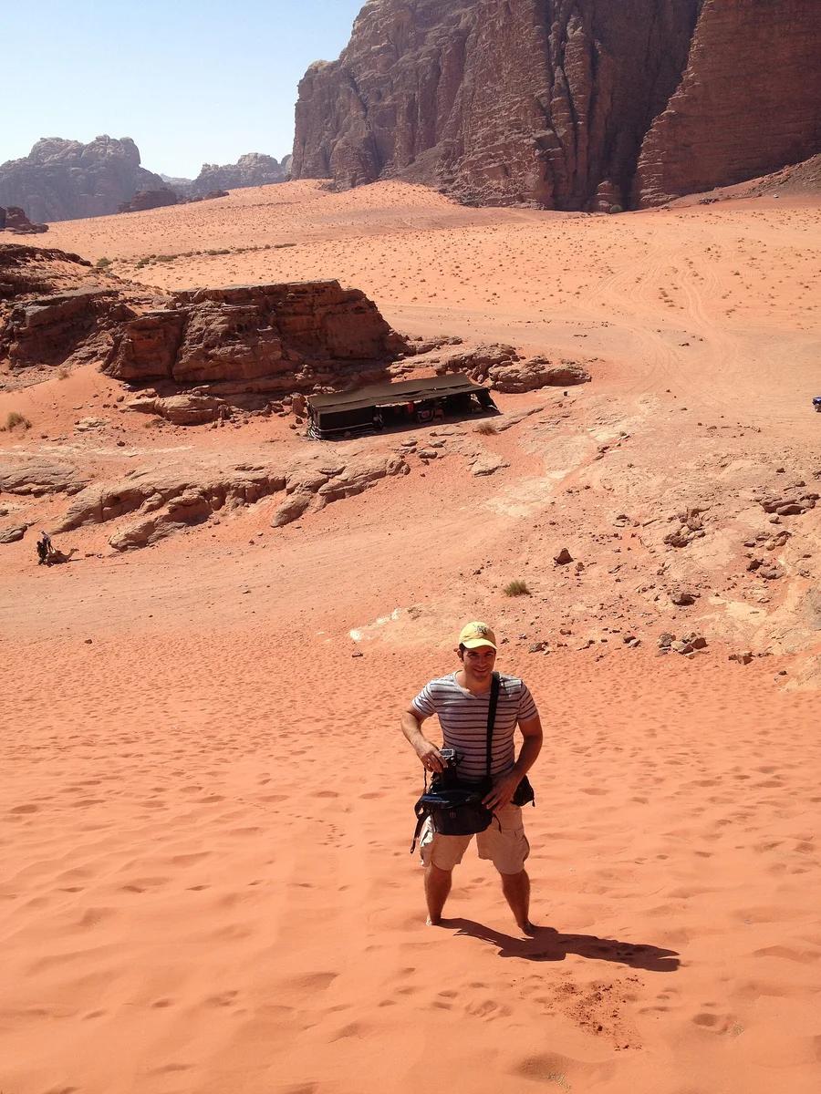
Wadi Rum Protected Area UNESCO · Africa & Middle East · Jordan
The 'Valley of the Moon': vast desert valleys carved between monolithic sandstone mountains, natural rock arches, and dramatic crimson sand dunes.
Photo: Jorge Láscar from Australia · CC BY 2.0
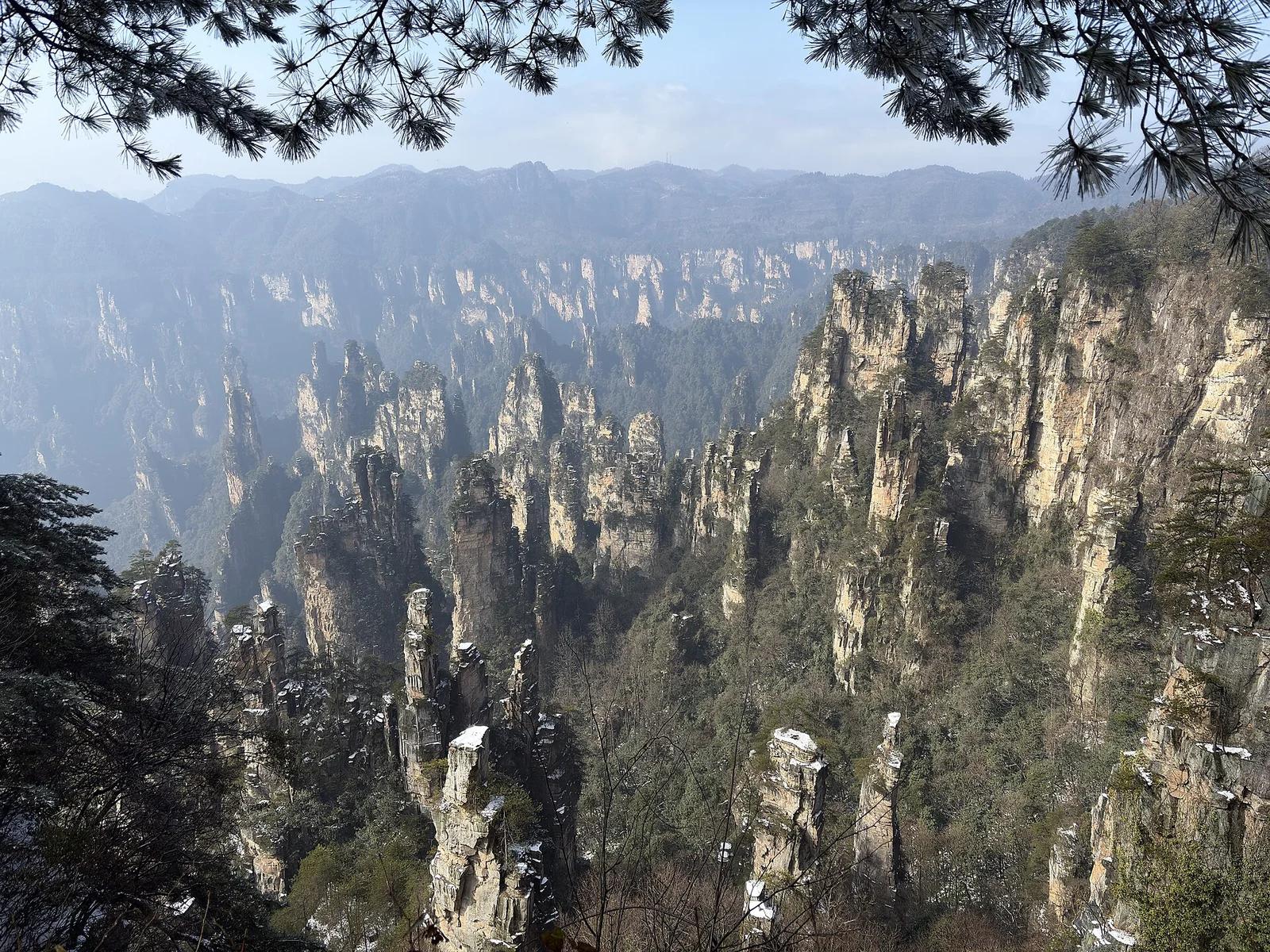
Zhangjiajie National Forest Park / Wulingyuan UNESCO · Japan & East Asia · China
Over three thousand quartz-sandstone karst pillars rising thousands of feet through subtropical mist, inspiring the floating Hallelujah Mountains of Pandora.
Photo: ICOLEF / visualtravelguide.com · CC BY-SA 4.0
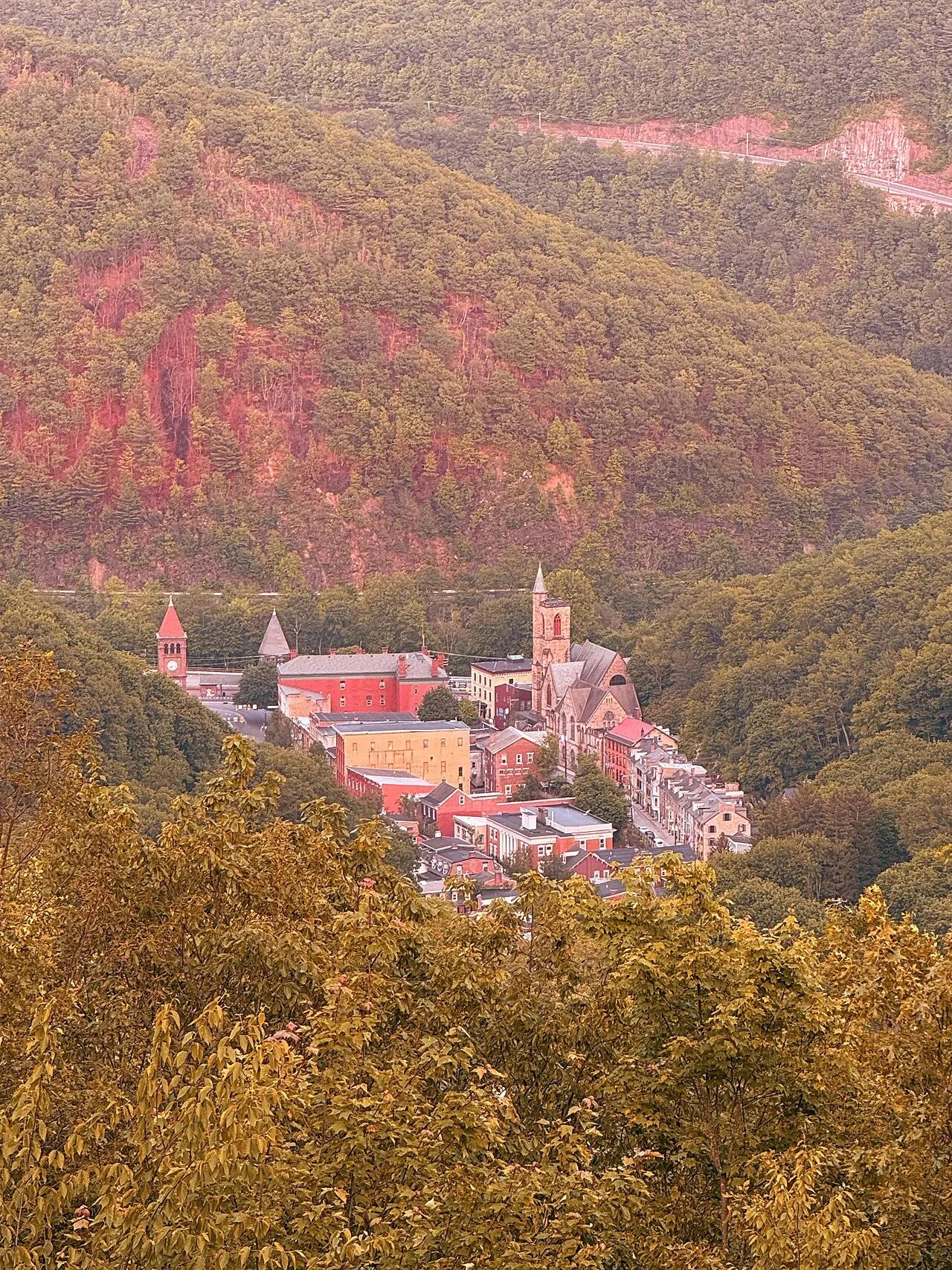
Lehigh Gorge State Park / Jim Thorpe · Poconos · Pennsylvania
Hike along America's historic first gravity railroad track bed cut into steep slate mountainsides above the Mauch Chunk gorge.
Photo: GuyonaBorris · Public domain
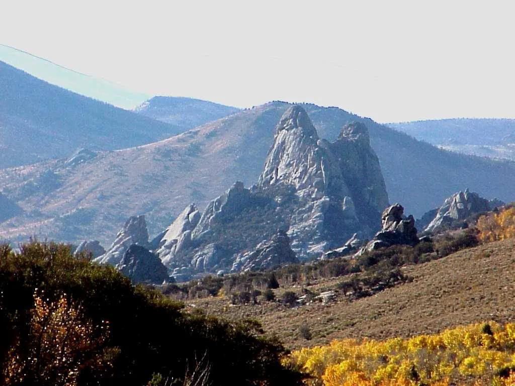
City of Rocks National Reserve · Rocky Mountains · Idaho
Oligocene and Archean granite monoliths up to 600 feet tall where Oregon Trail emigrants carved their names in axle grease.
Photo: Wallace Keck, Park Superintendent, City of Rocks National Reserve. Idaho · Public domain
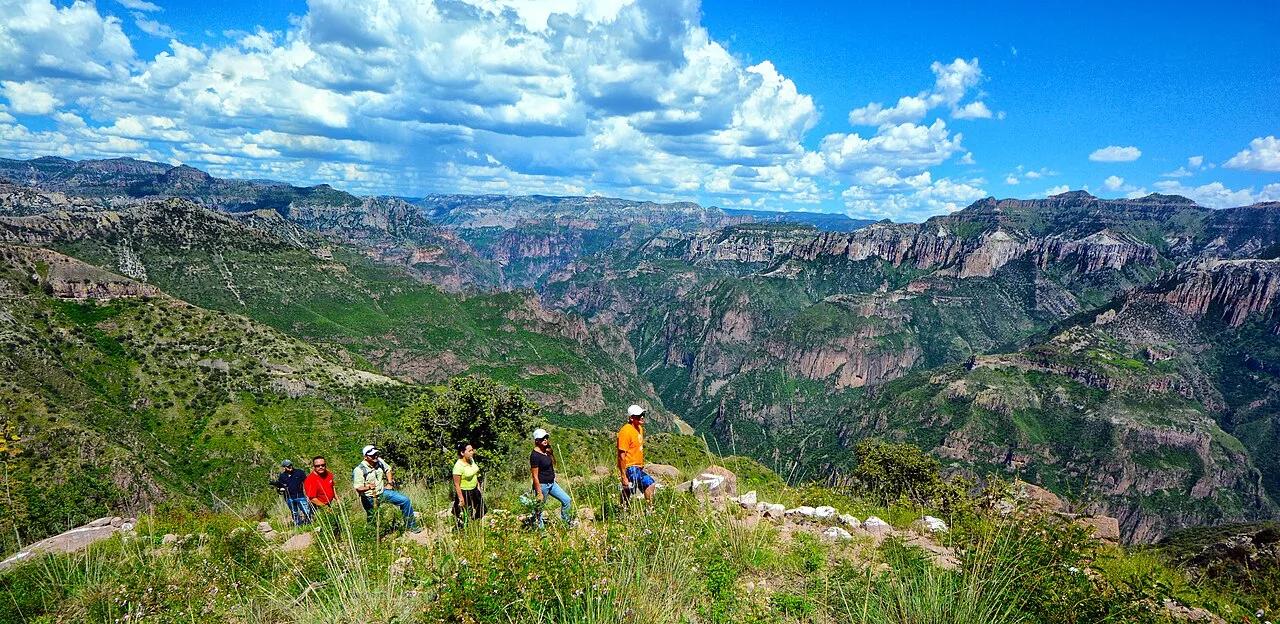
Parque de Aventuras Barrancas del Cobre · Mexico & Central America · Mexico
Network of six Sierra Madre Occidental canyons deeper and wider than the Grand Canyon, with cliffside trails and cable cars.
Photo: Comisión Mexicana de Filmaciones from México D. F., México · CC BY-SA 2.0
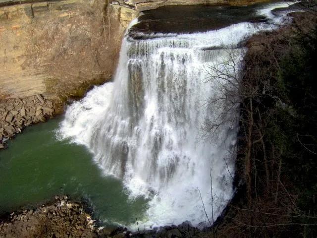
Burgess Falls State Park (Sparta) · Appalachian & Blue Ridge · Tennessee
Four cascading waterfalls along the Falling Water River descending 250 feet through a sheer limestone gorge into Center Hill Lake.
Photo: Brian Stansberry · CC BY 3.0
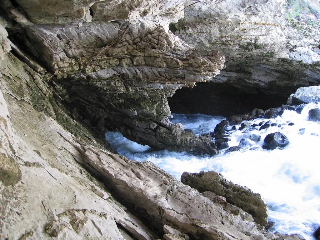
Sinks Canyon State Park (Lander) · Rocky Mountains · Wyoming
Karst canyon where the Middle Fork Popo Agie River vanishes into a Madison Limestone cavern and reappears in a trout-filled pool downstream.
Photo: Brian Harms Brian Harms · CC BY-SA 3.0
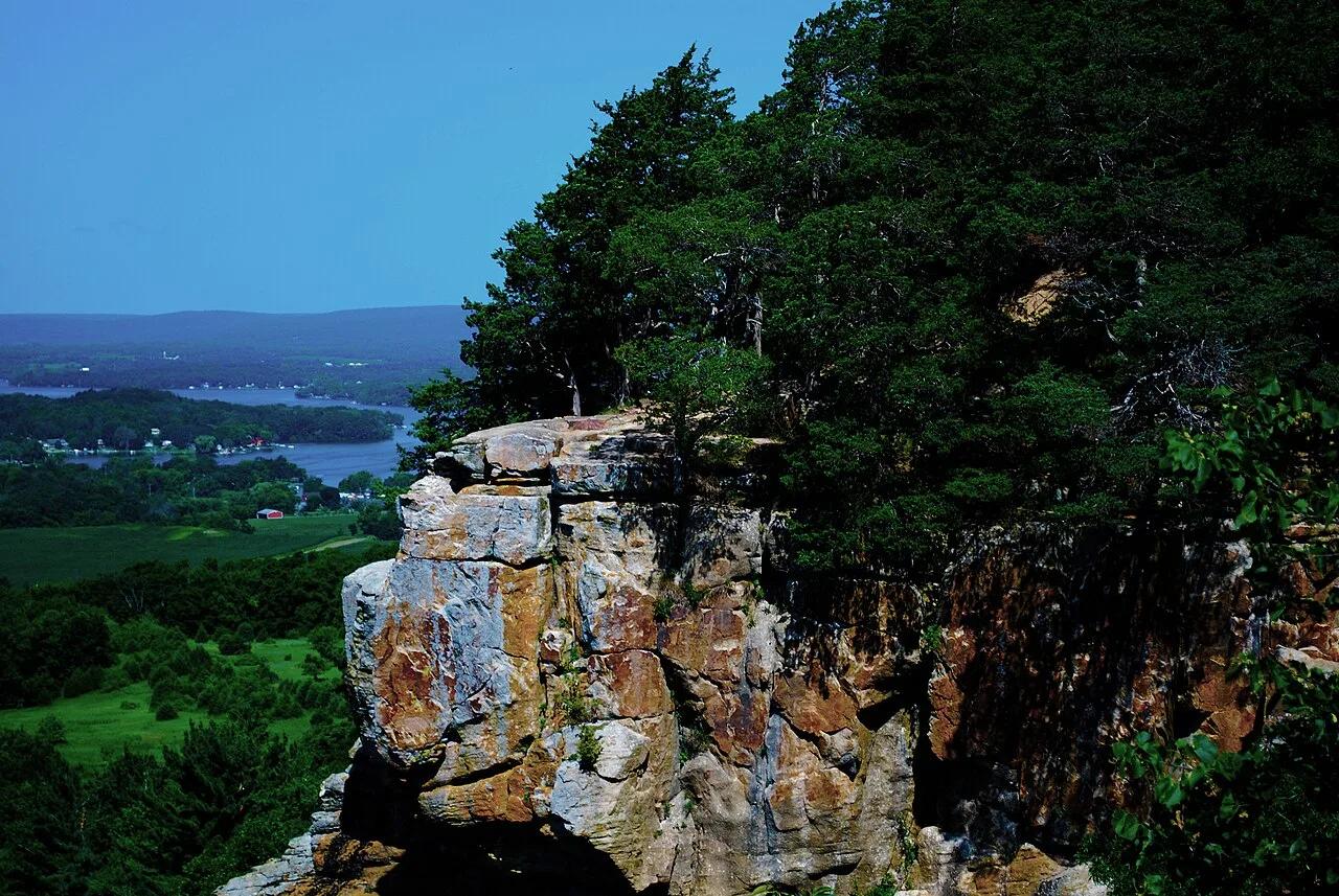
Ice Age National Scenic Trail (Lodi) · Driftless Area · Wisconsin
Prominent 400-foot flat-topped sandstone and dolomite butte crowned by red cedar glades and panoramic 360-degree views of the Wisconsin River valley.
Photo: Wackybadger · CC BY-SA 3.0
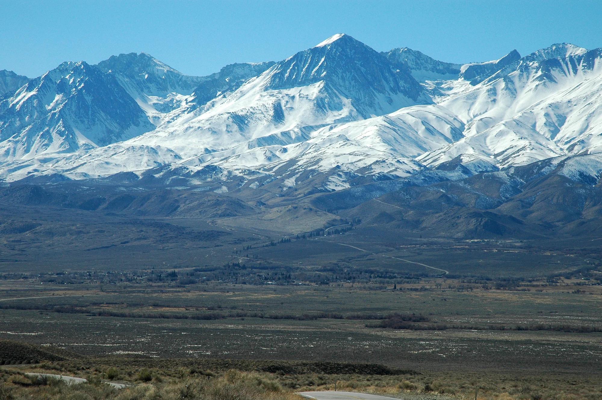
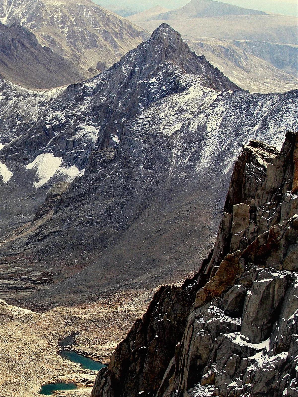
Los Padres National Forest · Central Coast
Verified California peak at 6,814 ft in Los Padres National Forest (Central Coast).
Photo: Clinton Steeds from Los Angeles, USA · CC BY 2.0
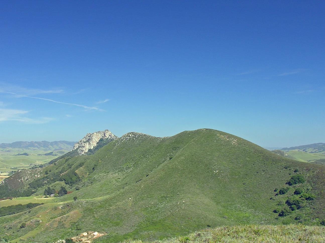
Central Coast
Verified California peak at 902 ft in Central Coast.
Photo: No machine-readable author provided. Kjkolb assumed (based on copyright claims). · CC BY 2.5