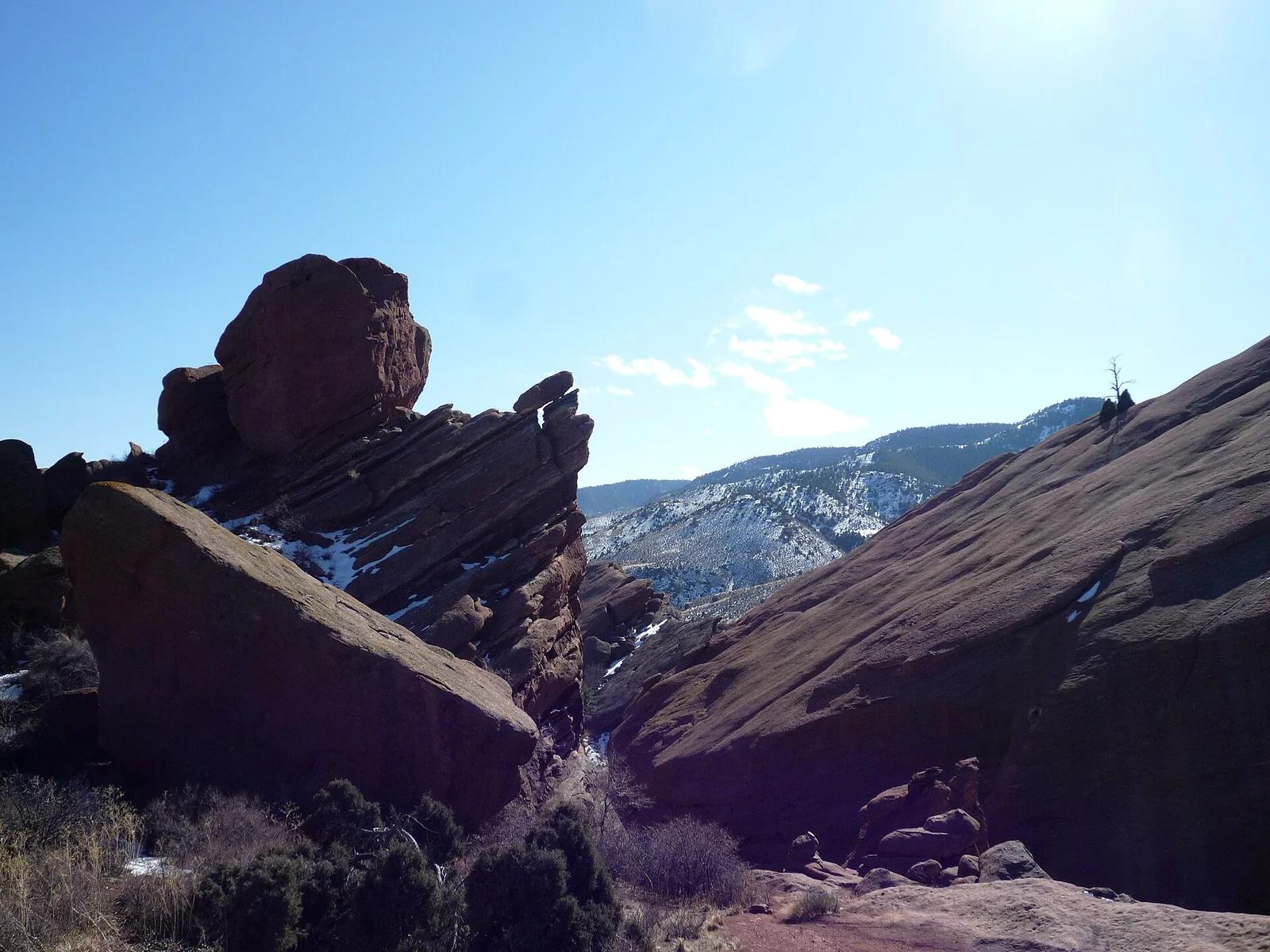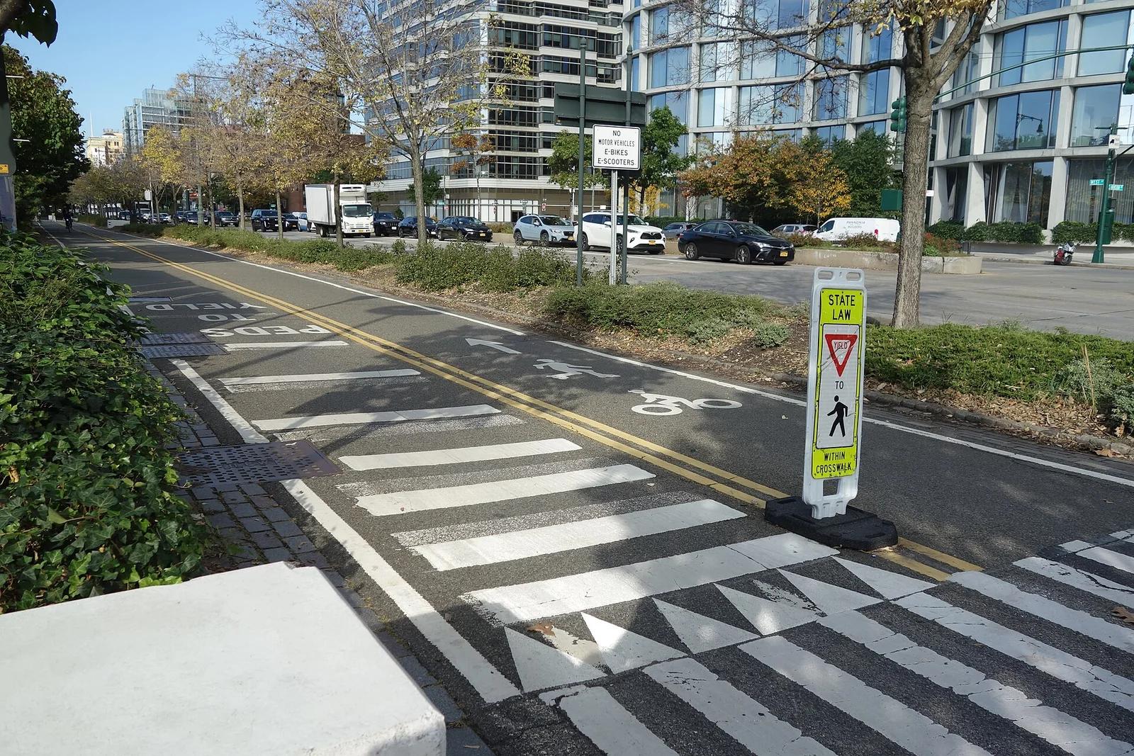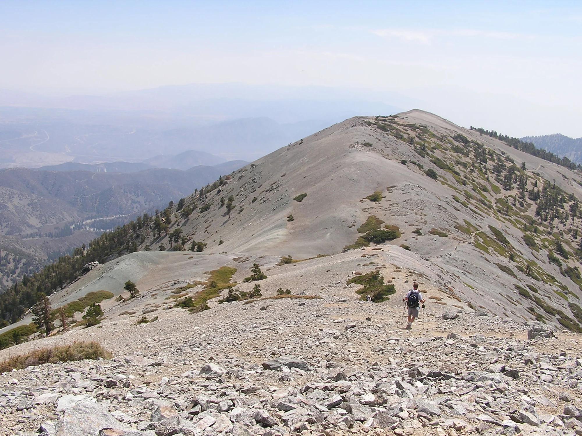
Zilker Metropolitan Park · Texas & Southwest · Texas
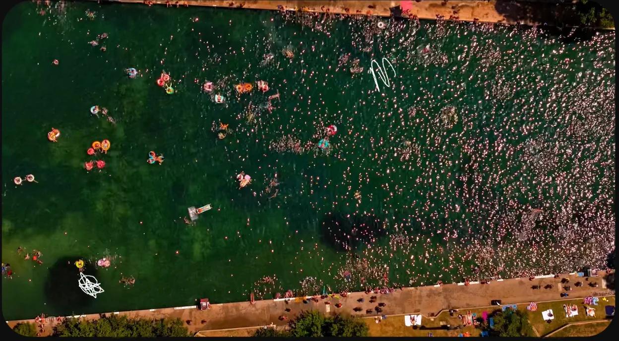
Barton Springs Pool & Zilker Park
Austin's beloved three-acre natural limestone pool fed by underground springs, maintaining a refreshing 68 degrees year-round.
- Route
- 3 mi
- Climb
- 82 ft
Browse & Discover
Canyon trails, waterfall walks, ridge traverses and high peaks.
188 of 2,051 places
Drag to pan. Double-click, pinch or scroll to zoom. Keyboard: arrow keys and +/−. Cards below remain available.
Loading map… Browse the spot cards below at any time.

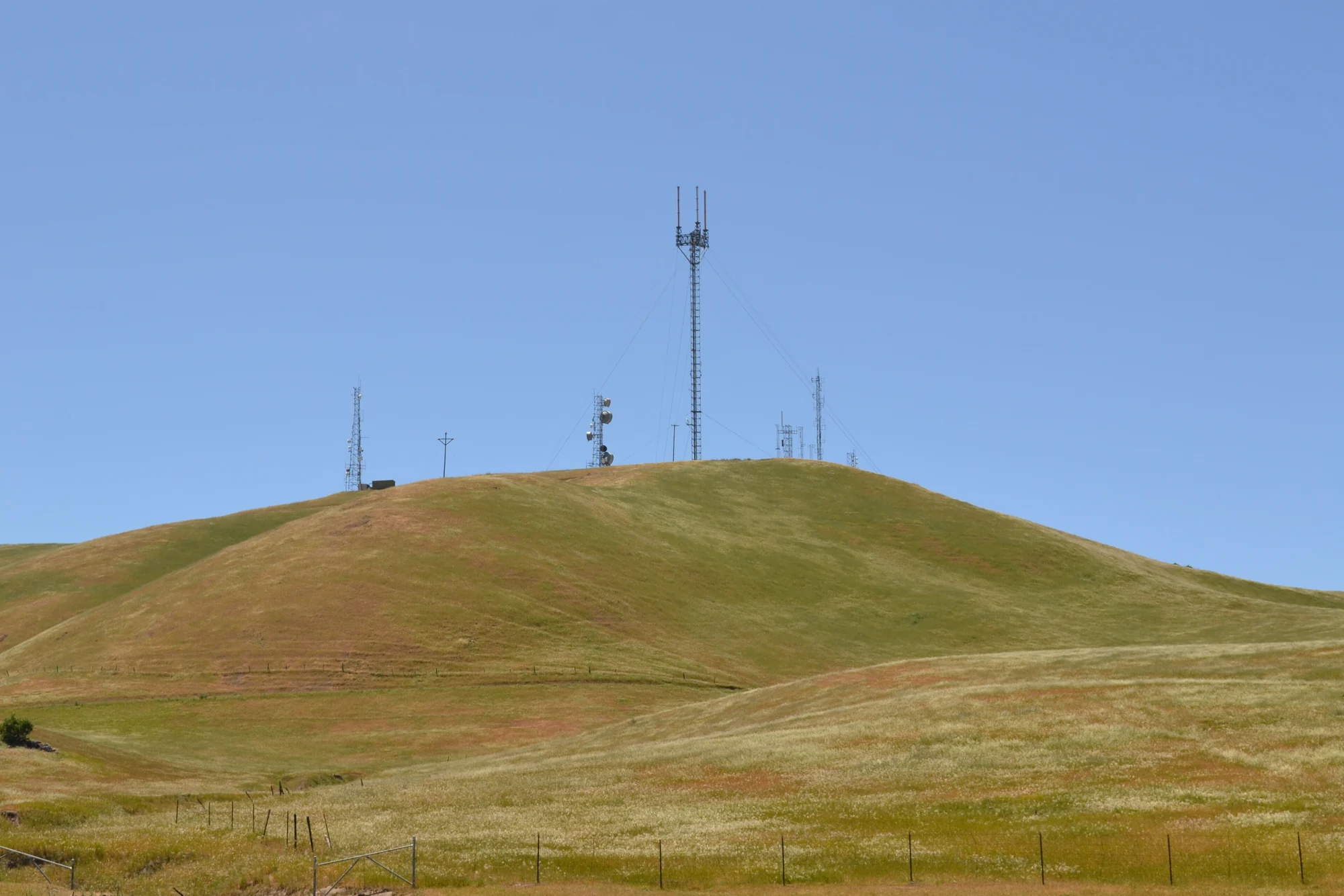
Russian Ridge Open Space Preserve
The highest named summit in San Mateo County, an open grassland top on Russian Ridge with views from the ocean to the Bay.
Justin Dolske from Cupertino, USA · CC BY-SA 2.0. Source & image licence

Eaton Canyon Natural Area
The waterfall at the head of lower Eaton Canyon, reached by a wide wash walk from the Eaton Canyon Nature Center and a final creekside scramble.
[scott.medling or en:user:scott.medling user:scott.medling from California, United States] · CC BY-SA 2.0. Source & image licence

Escondido Canyon Park
A multi-tiered waterfall in Escondido Canyon above Malibu. The maintained trail ends at the base of the mossy lower tier.
Santa Monica Mountains National Recreation Area · Public domain. Source & image licence

Mount Tamalpais Watershed
A winter-and-spring cascade on Cataract Creek just below the Laurel Dell picnic area, reached downhill along the Cataract Trail from Rock Spring.
Richard Wood · CC BY-SA 3.0. Source & image licence

Angeles National Forest
A waterfall of about fifty feet filling the head of a narrow, shaded canyon, a short walk upstream from Millard Campground.
Region 5 Photography · Public domain. Source & image licence

Mission Peak Regional Preserve
The bare grassland summit above Fremont, marked by the Mission Peeker sighting pole and climbed by the Hidden Valley Trail from Stanford Avenue.
Oleg Alexandrov · CC BY-SA 3.0. Source & image licence

Angeles National Forest
The highest summit of the San Gabriel Mountains, reached from Baldy Notch along the exposed Devils Backbone ridge.
Darkest tree · CC BY-SA 4.0. Source & image licence

Mount Tamalpais State Park
The summit of Mount Tamalpais, a short plank-and-rock climb from the East Peak visitor area to the fire lookout above the whole Bay Area.
Chris Koerner from St. Louis, USA · CC BY-SA 2.0. Source & image licence

Santa Monica Mountains National Recreation Area
The highest point in the Santa Monica Mountains, climbed from the Mishe Mokwa trailhead along the Backbone Trail at Circle X Ranch.
Wasquewhat · CC BY-SA 4.0. Source & image licence

Angeles National Forest
A 50-foot single drop into a shallow plunge pool, 1.7 mi up Big Santa Anita Canyon. Shaded the entire way in. The work is all on the walk out.
U.S. Department of Agriculture / USDA USFS · CC BY 2.0. Source & image licence

Angeles National Forest · San Gabriel Mountains
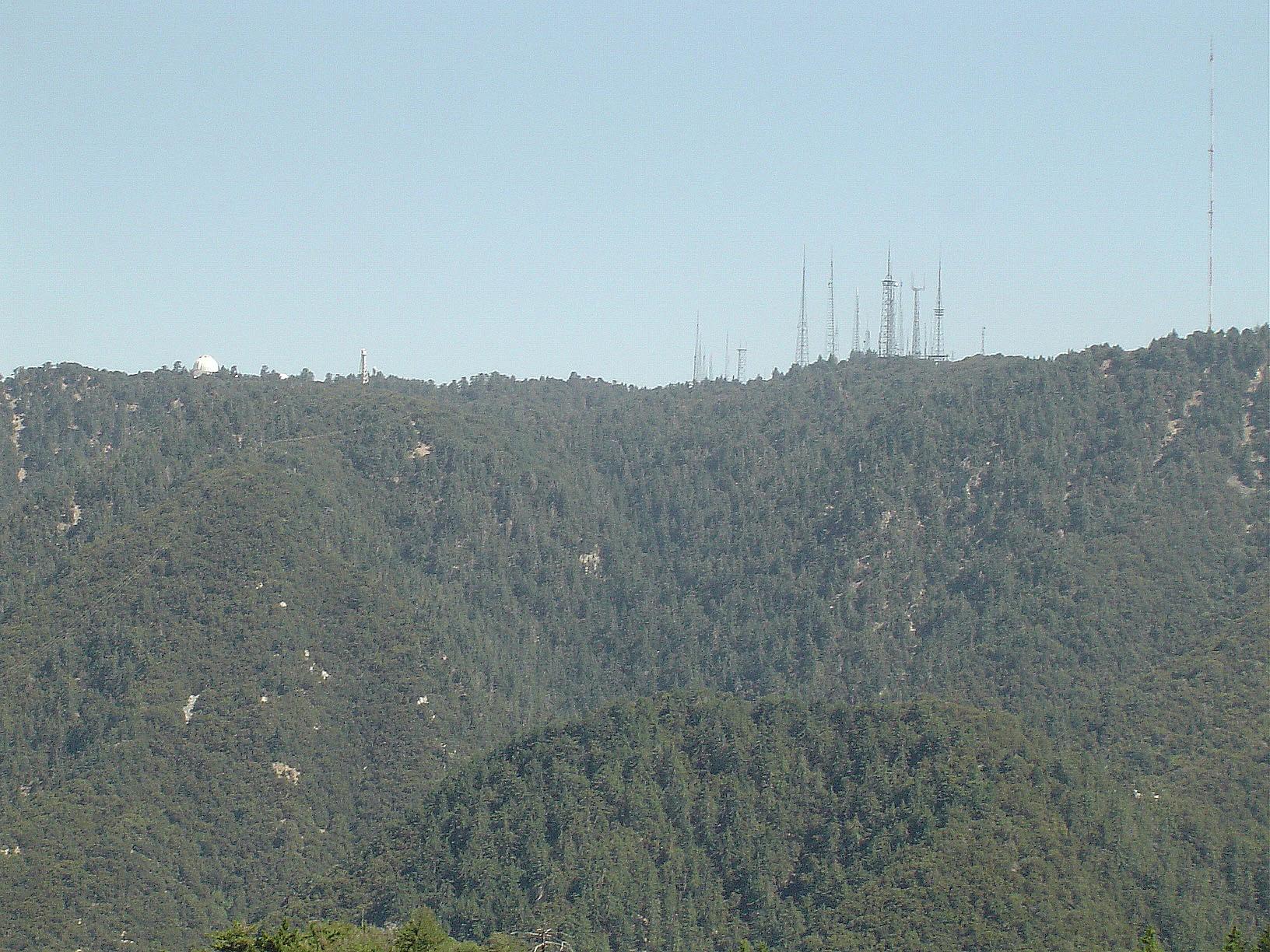
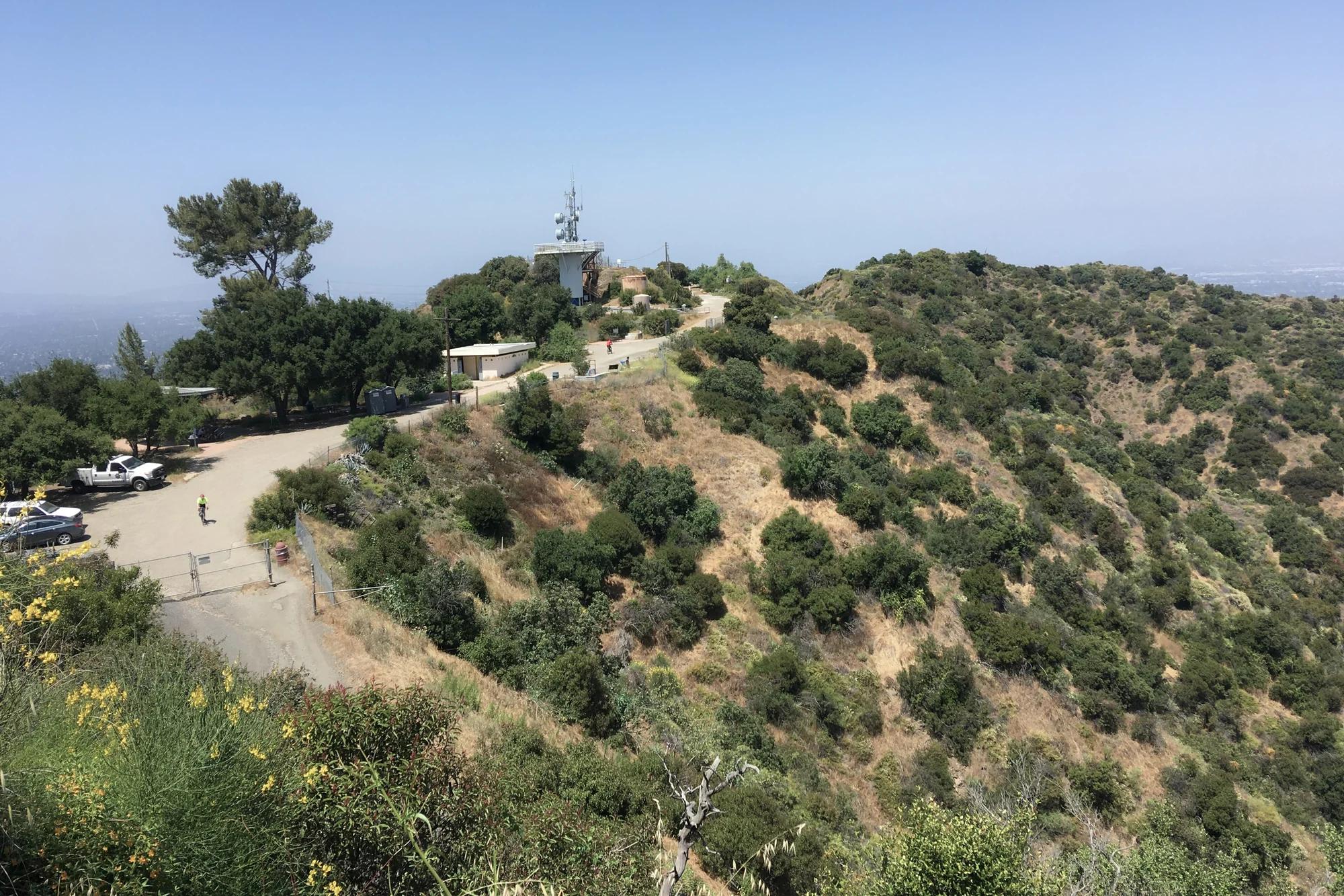
Verified California peak at 5,699 ft in Angeles National Forest (San Gabriel Mountains). Linked to Rim Trail.
Photo: The original uploader was Geographer at English Wikipedia . · CC BY 1.0

Puente Hills Habitat Preservation Authority · Central Valley & Foothills
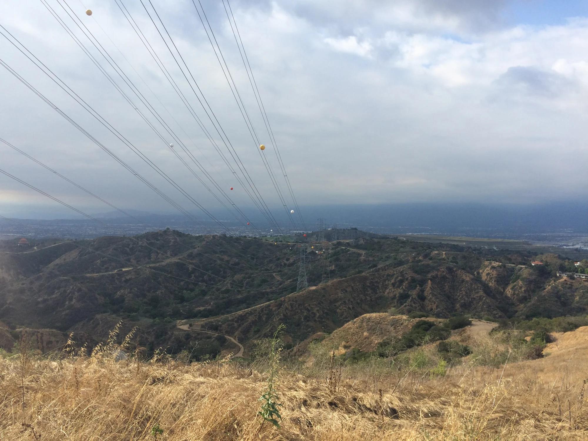
Verified California peak at 1,391 ft in Puente Hills Habitat Preservation Authority (Central Valley & Foothills). Linked to Schabarum-Skyline Trail.
Photo: Sergei Gussev · CC BY 2.0

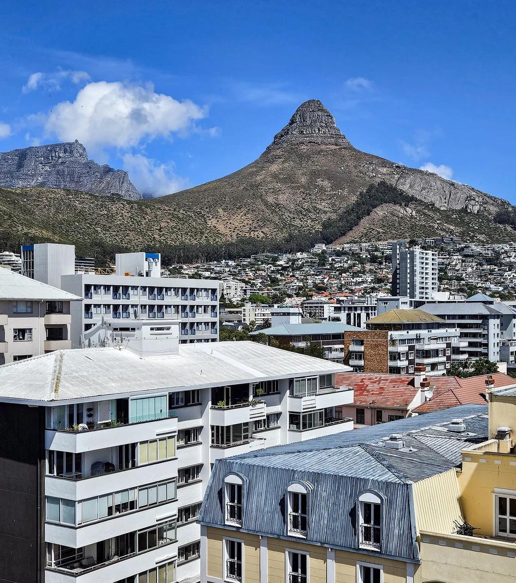
Table Mountain National Park · Africa & Middle East · South Africa
Free-standing sandstone pyramid spiral providing 360-degree vistas of Camps Bay, Table Mountain, and Robben Island, famed for full moon and sunset scrambles.
Photo: Dietmar Rabich · CC BY-SA 4.0

San Diego Coast & Mountains
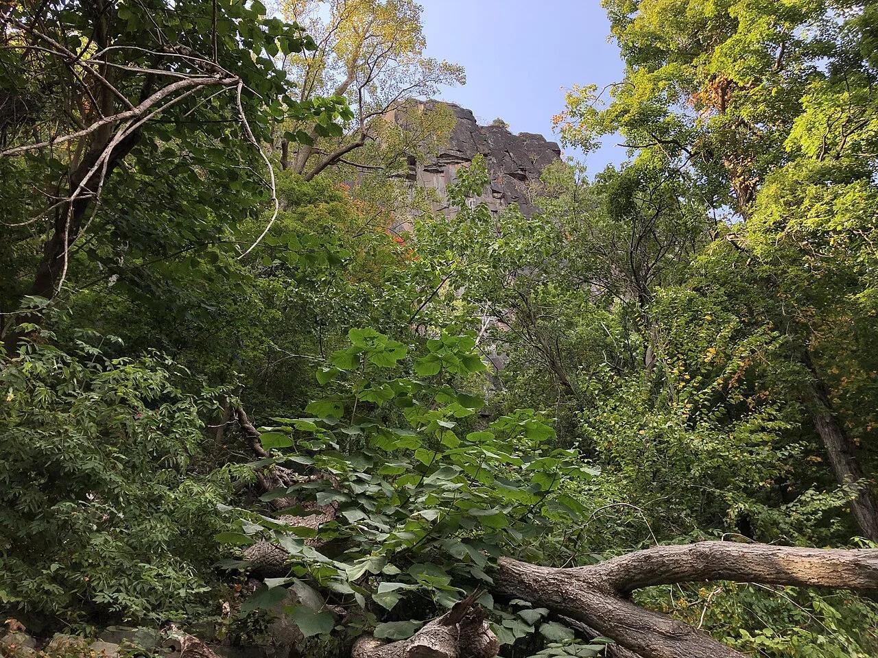
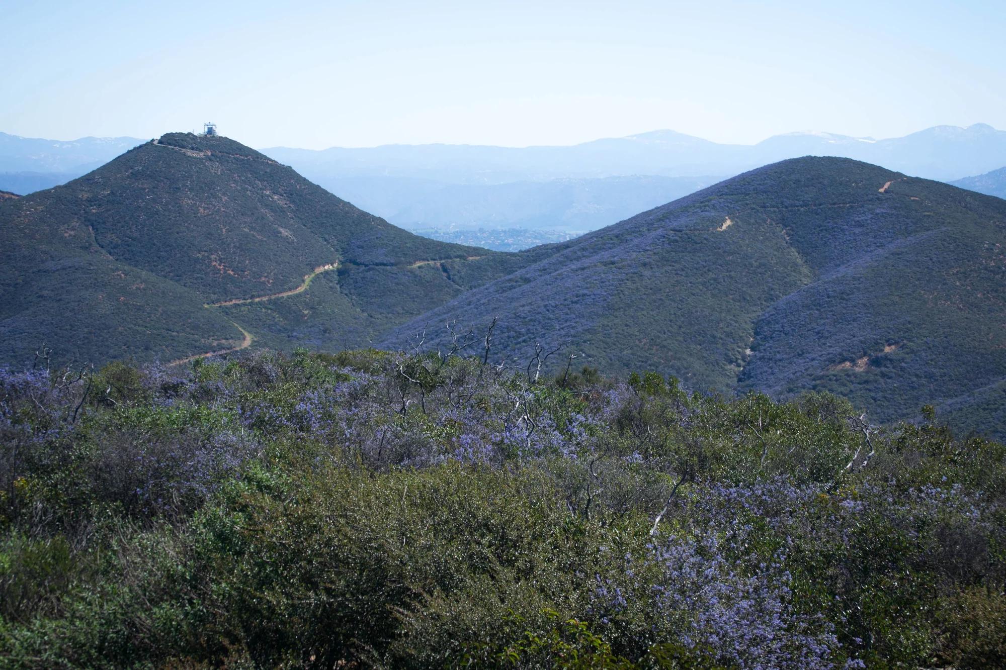
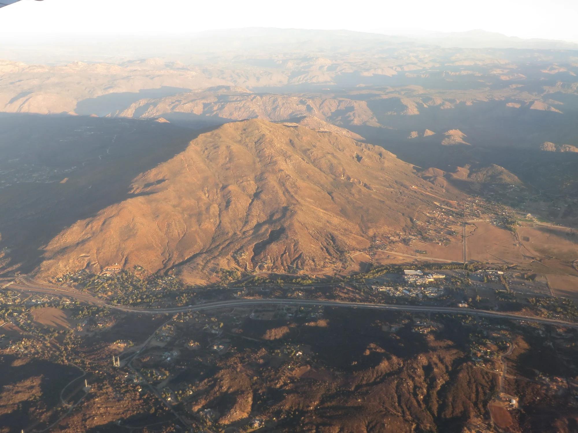
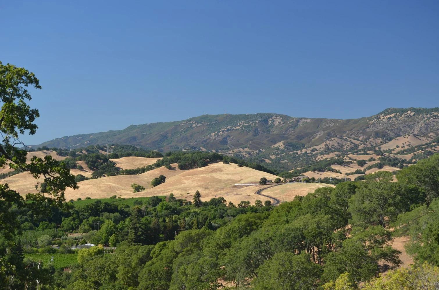
Verified California peak at 4,173 ft in San Diego Coast & Mountains.
Photo: Ken Lund from Reno, Nevada, USA · CC BY-SA 2.0

Angeles National Forest · San Gabriel Mountains
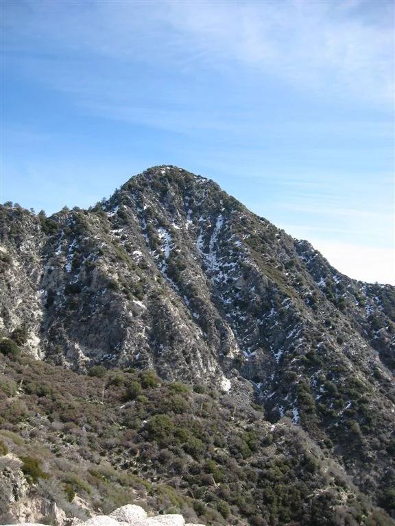
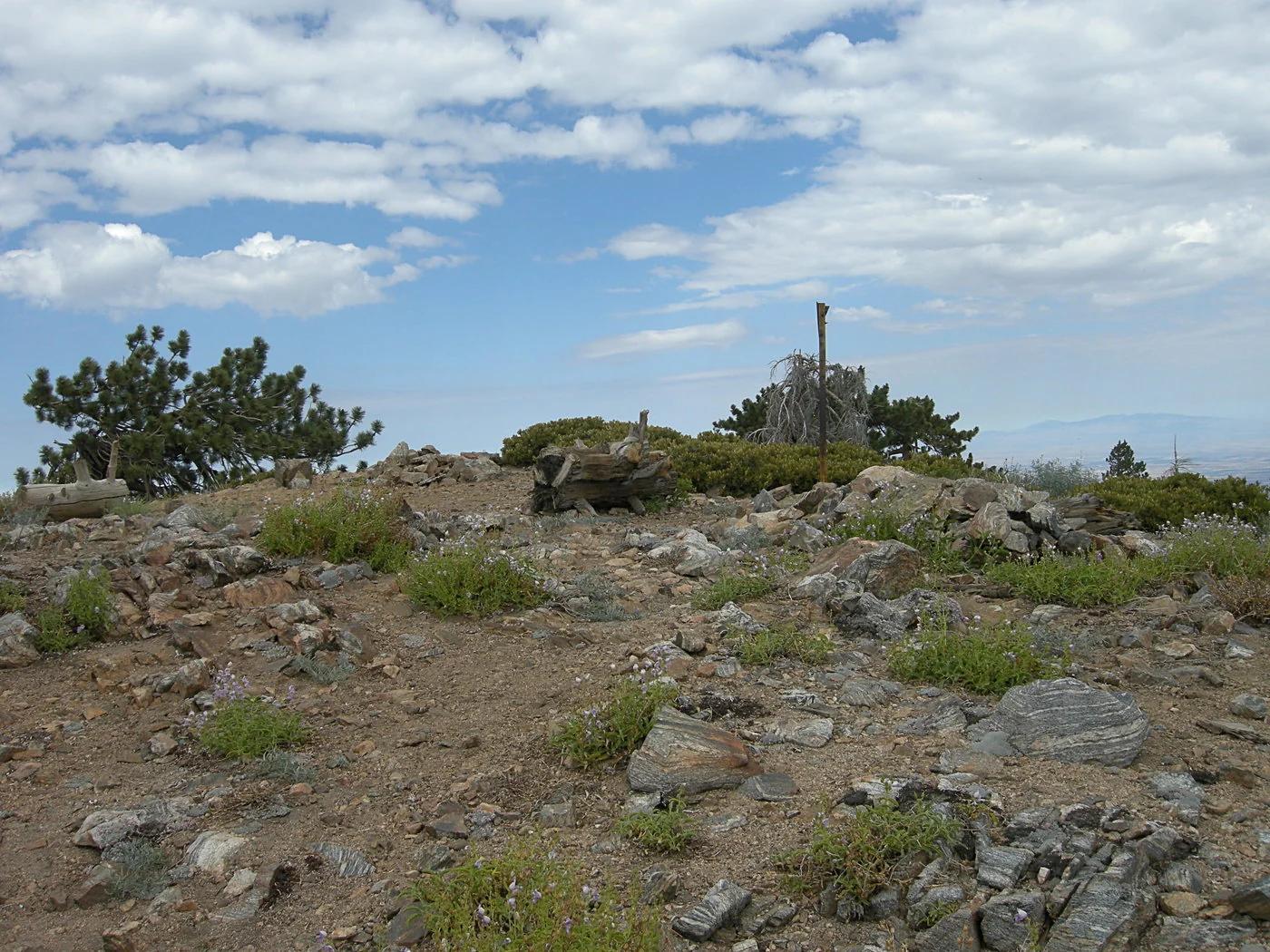
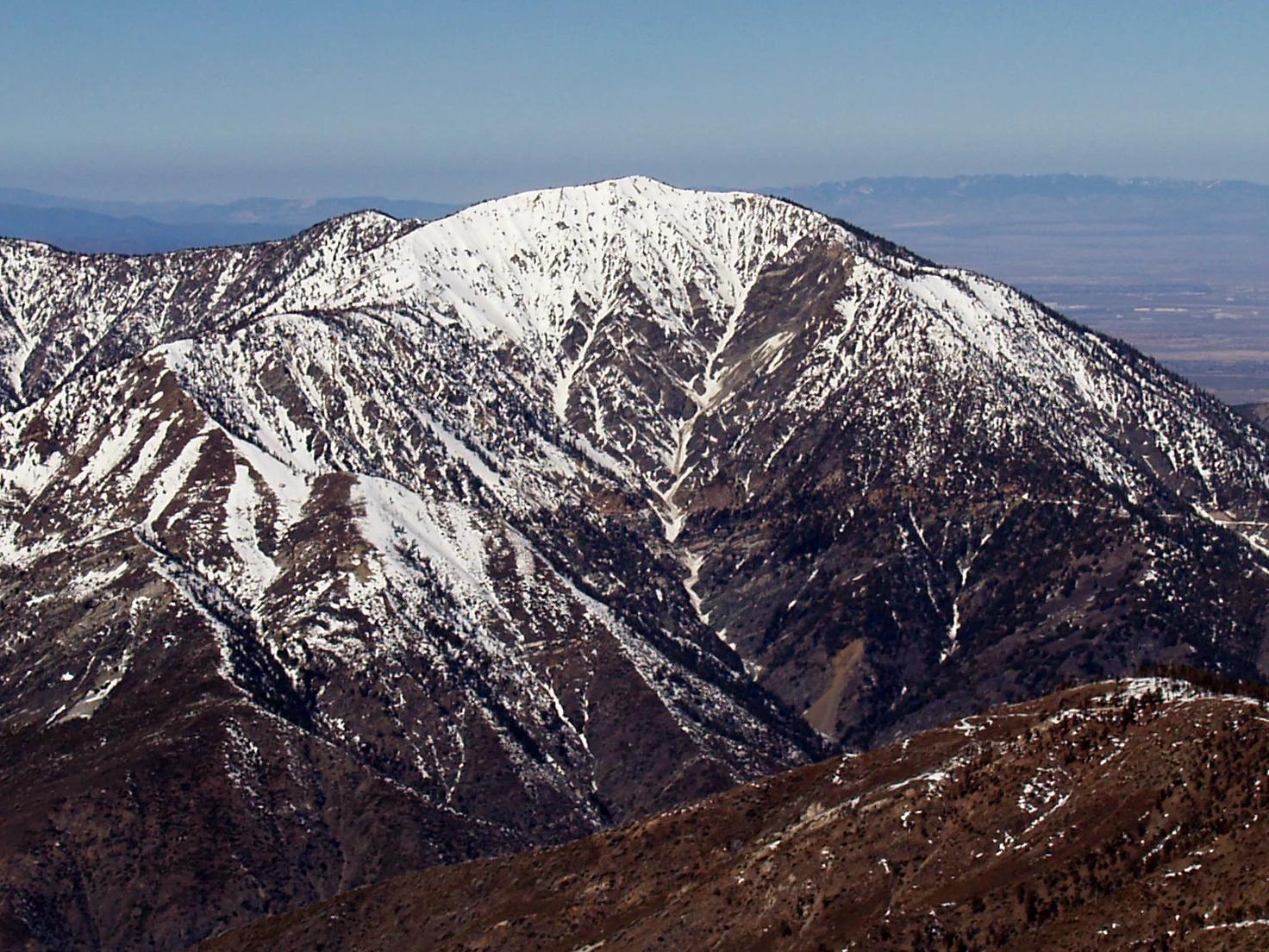
Verified California peak at 9,383 ft in Angeles National Forest (San Gabriel Mountains). Linked to PCT - California Section D.
Photo: The original uploader was Jakerome at English Wikipedia ./ Simonov · CC BY-SA 2.0

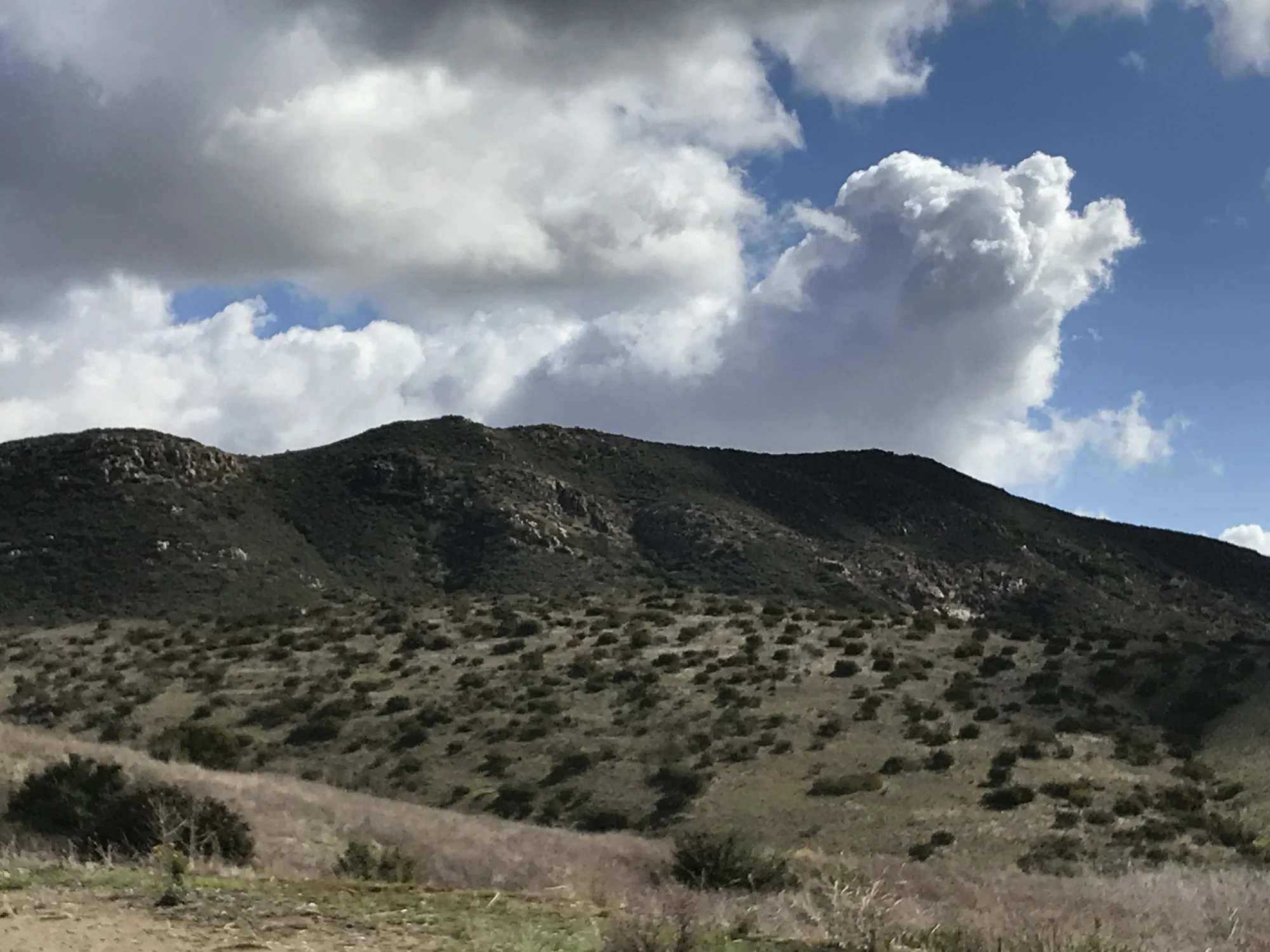
San Diego Coast & Mountains
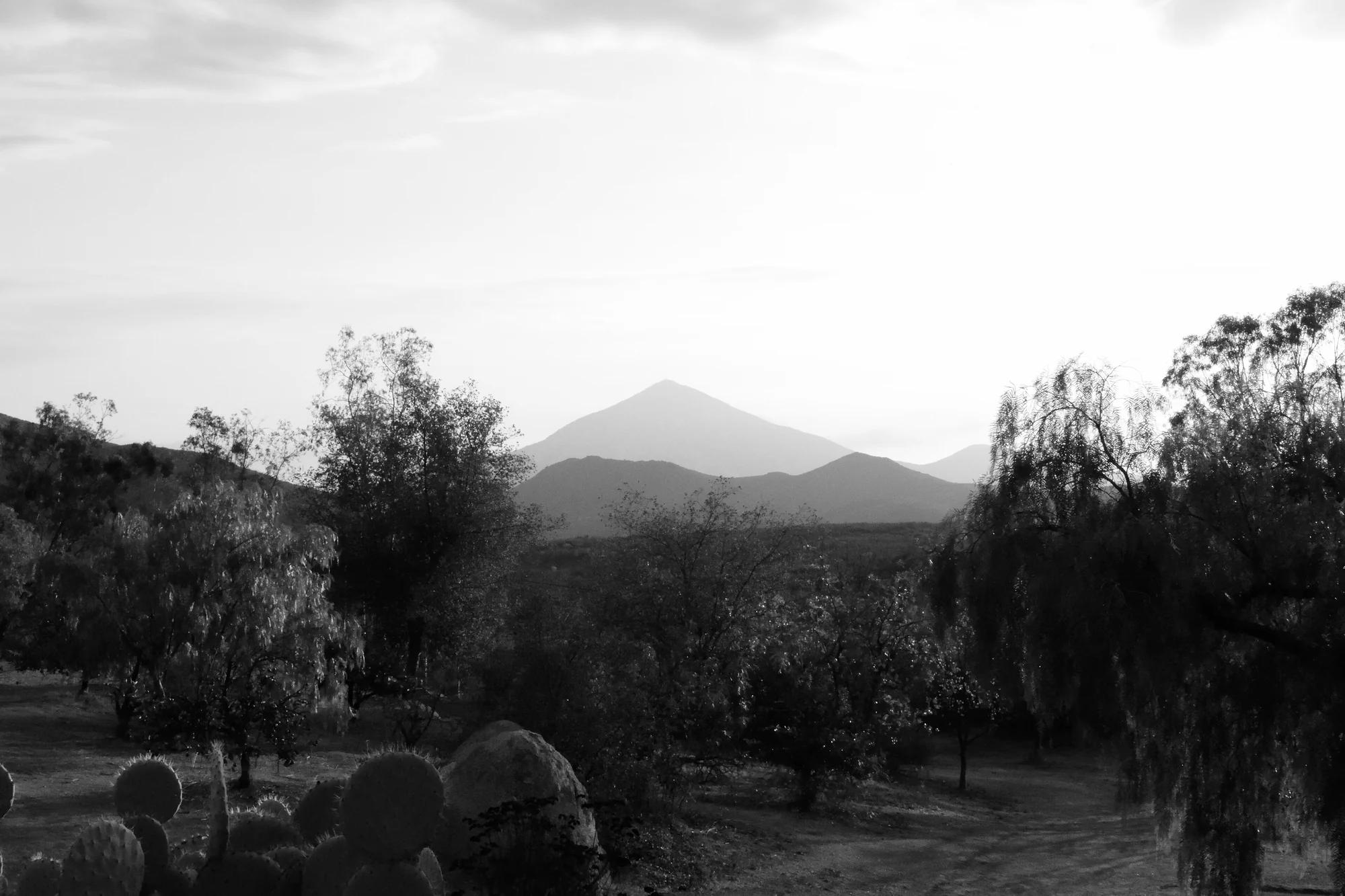
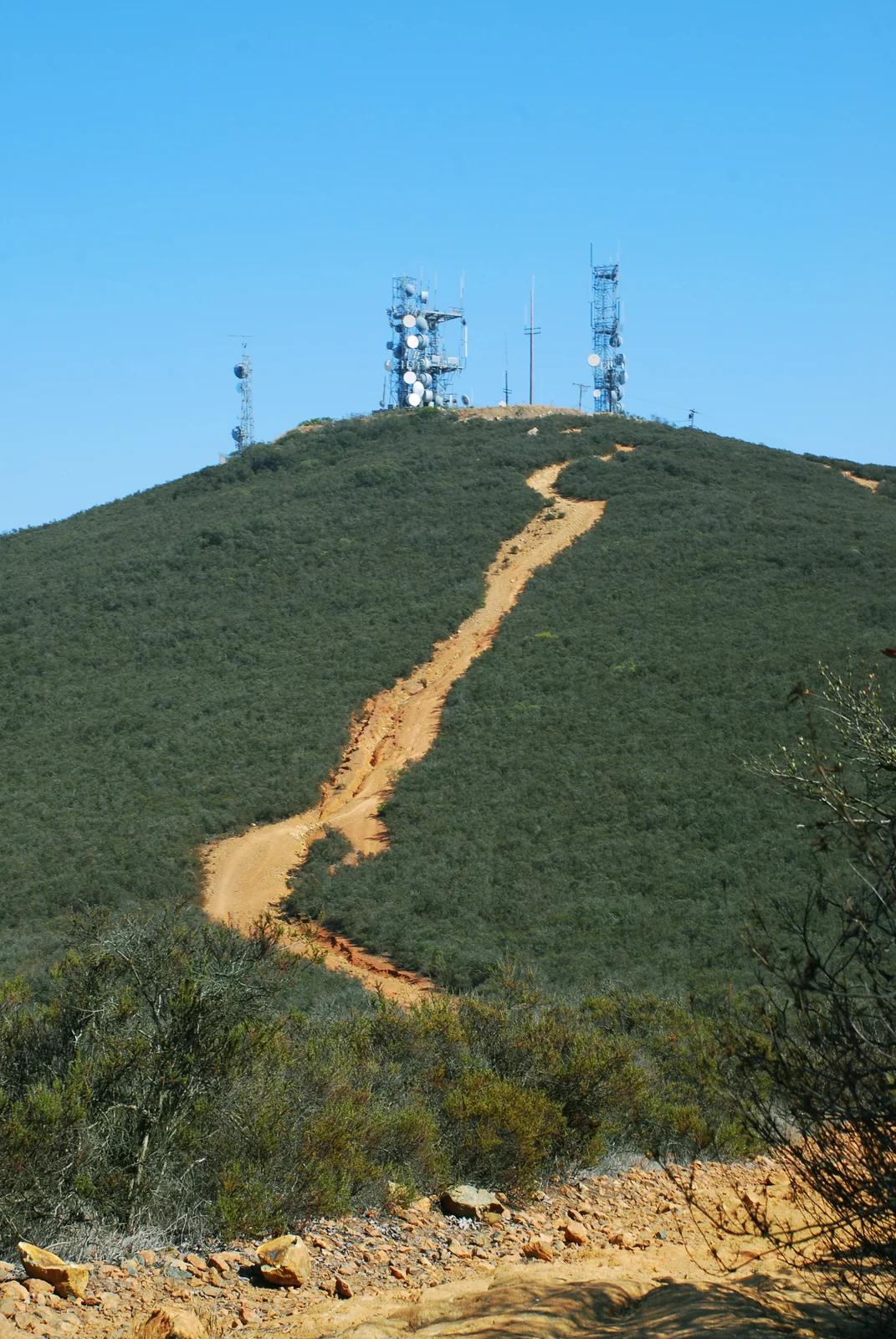
Verified California peak at 1,558 ft in San Diego Coast & Mountains.
Photo: Lisa Brewster from San Francisco, USA · CC BY-SA 2.0

Stawamus Chief Provincial Park · Canadian Rockies & British Columbia · Canada
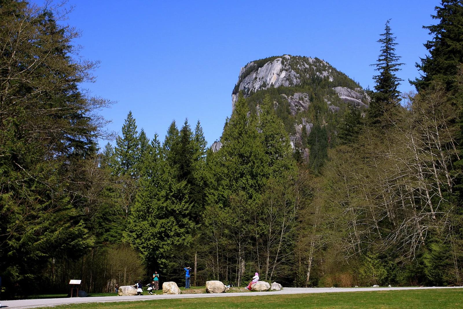
Towering granite monolith rising straight out of Howe Sound fjord, legendary for multi-pitch trad rock climbing and steep ladder-assisted scrambles.
Photo: TravelingOtter from Houston, Texas, USA · CC BY-SA 2.0

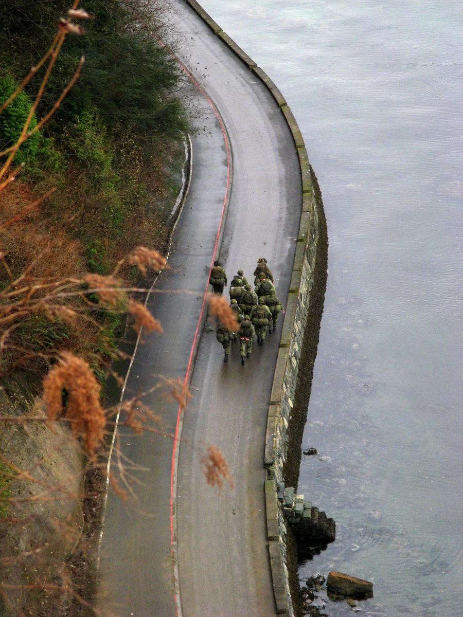
Stanley Park · Canadian Rockies & British Columbia · Canada
The world's longest uninterrupted waterfront path hugging temperate coastal rainforest, Lion's Gate Bridge, and Burrard Inlet.
Photo: No machine-readable author provided. Bobanny assumed (based on copyright claims). · Public domain

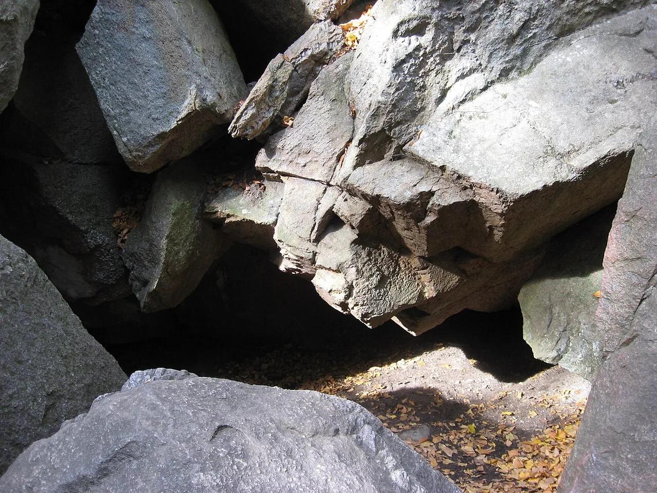
Purgatory Chasm State Reservation · Northeast & New England · Massachusetts
Quarter-mile glacial meltwater fissure sliced 70 feet deep through solid Milford granite, filled with Fat Man's Misery and The Corn Crib boulder caves.
Photo: Dale E. Martin (Martinde) · CC BY-SA 3.0

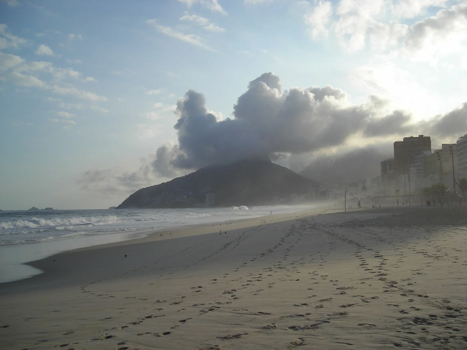
Parque Natural Municipal Penhasco Dois Irmãos · Costa Rica, Brazil & Latin America · Brazil
Iconic twin granite peaks bookending Rio's South Zone, reached via a jungle ridge scramble that unveils supreme views over Ipanema, Leblon, and Corcovado.
Photo: nico normand · CC BY-SA 3.0