Waterfall
Flathead National Forest · Glacier Country · Montana
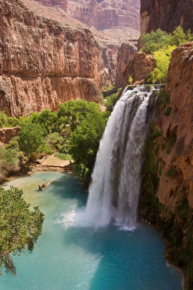
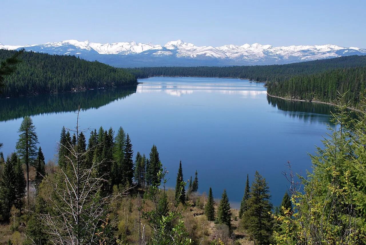
Holland Lake & Holland Falls
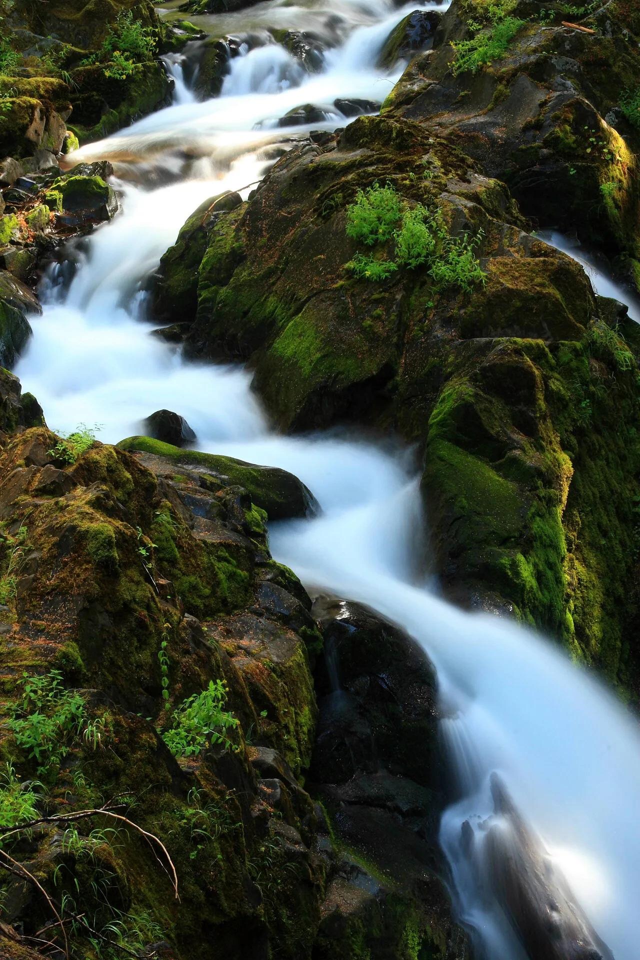
Lakeside forested path climbing to a roaring cascade tumbling down limestone crags of the Swan Range.
- Route
- 3.2 mi
- Climb
- 755 ft
Browse & Discover
Canyon trails, waterfall walks, ridge traverses and high peaks.
1,007 of 2,051 places
Drag to pan. Double-click, pinch or scroll to zoom. Keyboard: arrow keys and +/−. Cards below remain available.
Loading map… Browse the spot cards below at any time.
Flathead National Forest · Glacier Country · Montana
Lakeside forested path climbing to a roaring cascade tumbling down limestone crags of the Swan Range.
Photo: Forest Service Northern Region from Missoula, MT, USA · Public domain
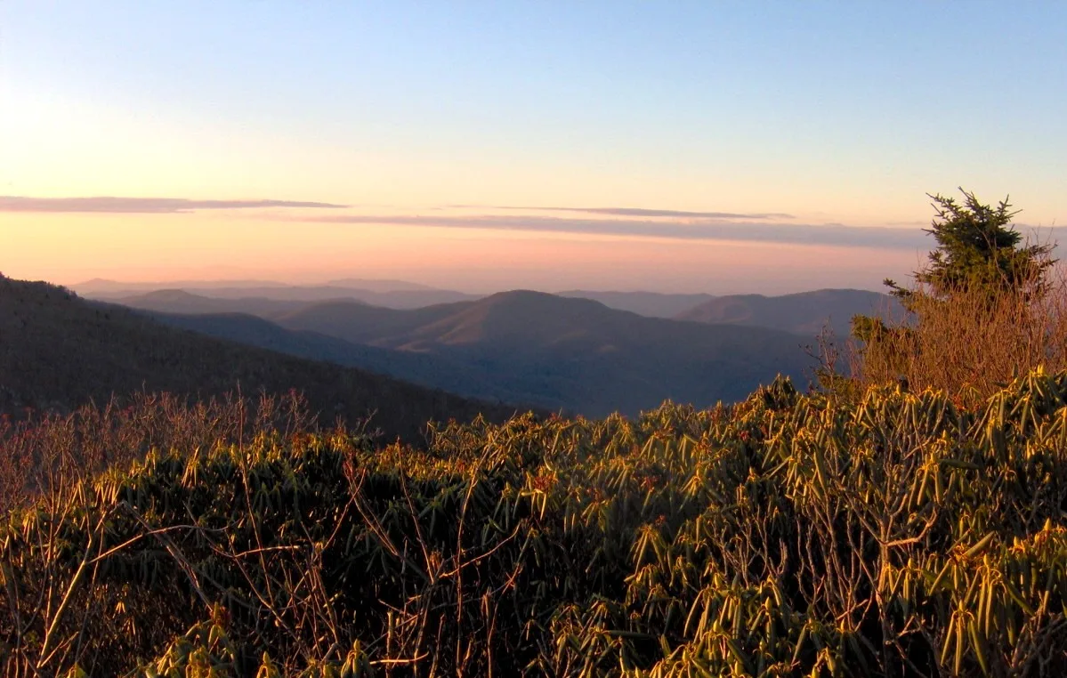
Pisgah & Cherokee National Forests (Carvers Gap) · Appalachian & Blue Ridge · North Carolina
Grassy 5,800-foot southern Appalachian grassy balds ablaze with Catawba rhododendron blooms and 360-degree views of the Black Mountains.
Photo: Brian Stansberry · CC BY 2.5
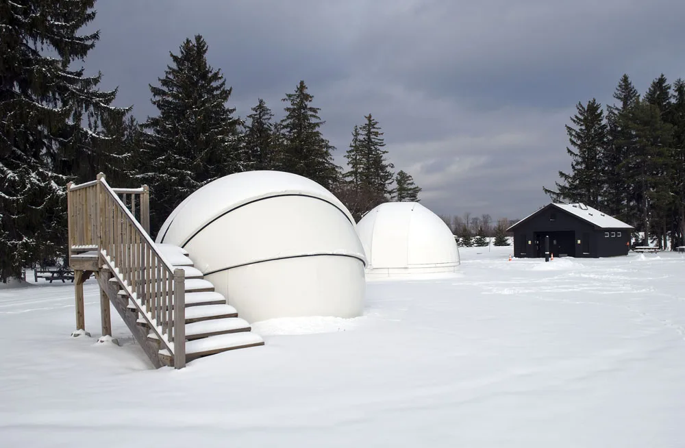
Cherry Springs State Park · PA Wilds / Potter County · Pennsylvania
A Gold-Tier International Dark Sky Park perched atop an isolated 2,300-foot Allegheny plateau where the Milky Way casts shadows.
Photo: Curt Weinhold · CC BY-SA 3.0
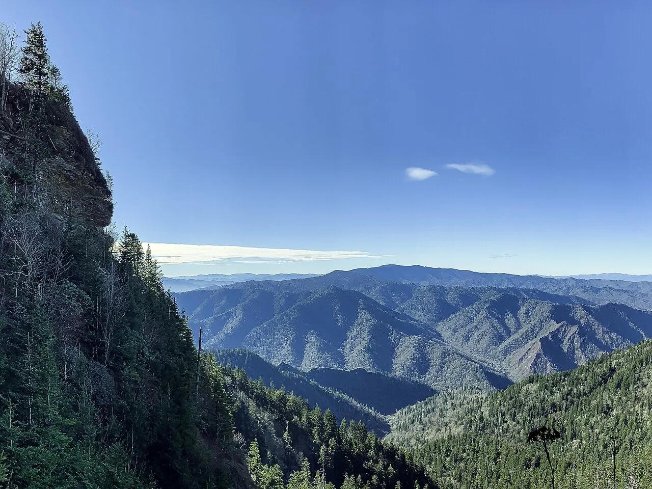
Great Smoky Mountains National Park · Appalachian & Blue Ridge · Tennessee
Walk through Arch Rock tunnel and beneath 80-foot overhanging Alum Cave Bluffs to the 6,593-foot spruce-fir summit of Mount LeConte.
Photo: AppalachianCentrist · CC BY-SA 4.0
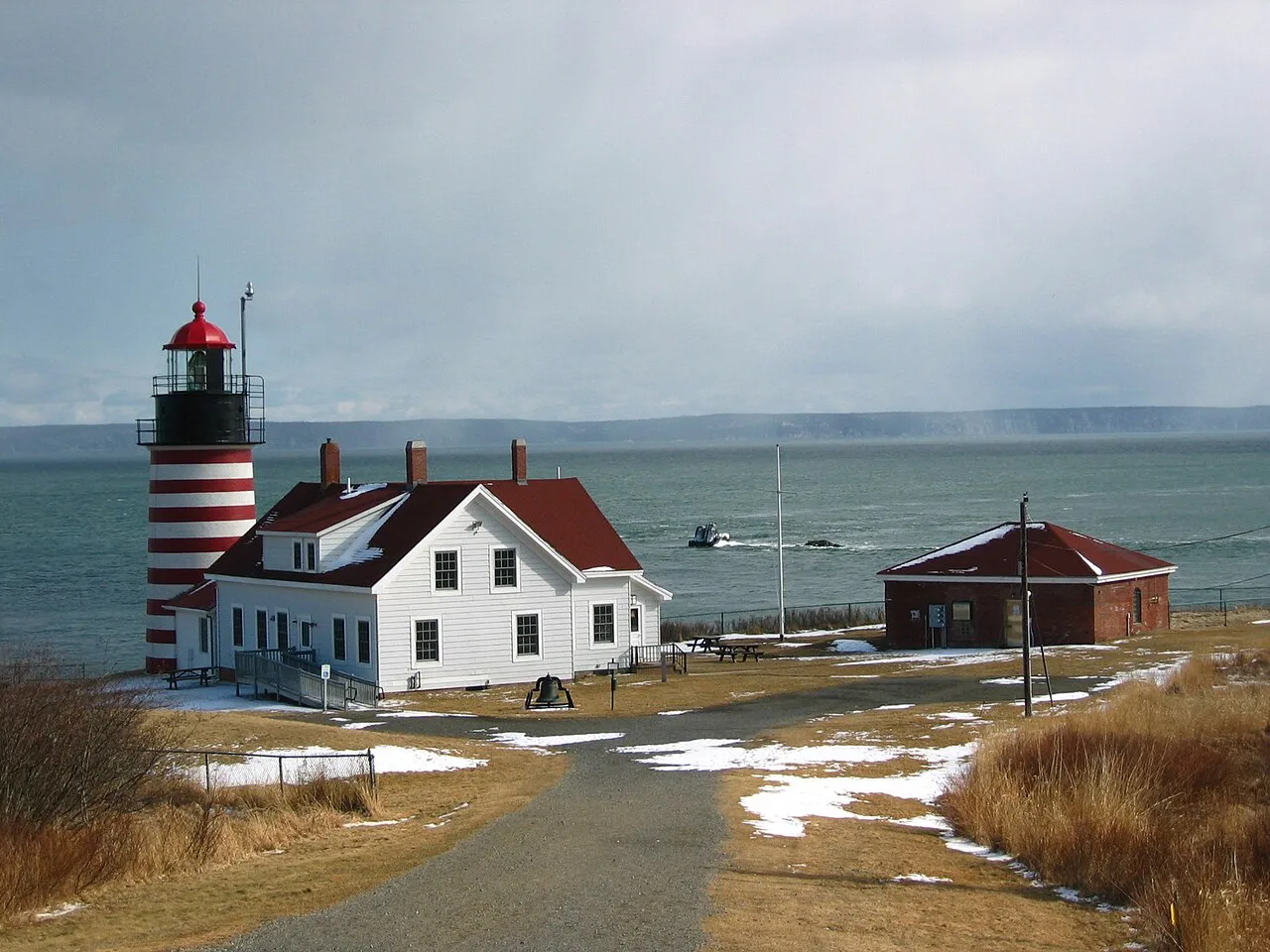
Quoddy Head State Park (Lubec) · Northeast & New England · Maine
Candy-striped lighthouse at the easternmost point of the United States, with basalt cliff trails above the Bay of Fundy tides and a sub-arctic coastal plateau bog.
Photo: M. Trindade Deramo · Public domain
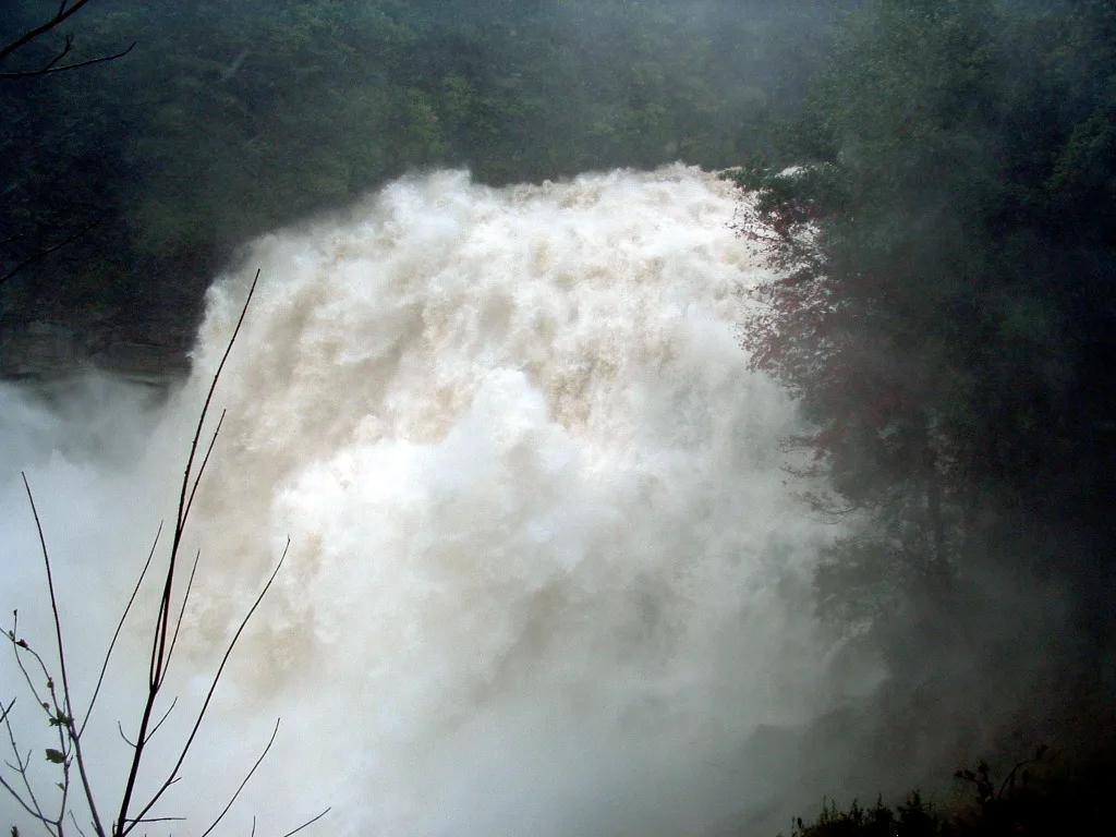
Gorges State Park / Pisgah National Forest · Appalachian & Blue Ridge · North Carolina
150-foot thundering granite cataract throwing permanent rainbow mist across a temperate rainforest gorge, upstream from a natural rock waterslide.
Photo: Wncoutdoors · CC BY-SA 3.0
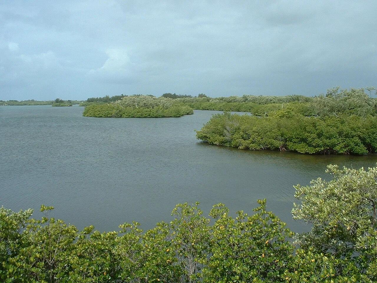
Sebastian Inlet State Park (Melbourne Beach) · Atlantic & Gulf Coasts · Florida
East Coast surfing mecca where Atlantic groundswells refract off the north jetty into powerful First Peak wedges and Indian River Lagoon kayak flats.
Photo: Stephen Lea · CC BY-SA 3.0
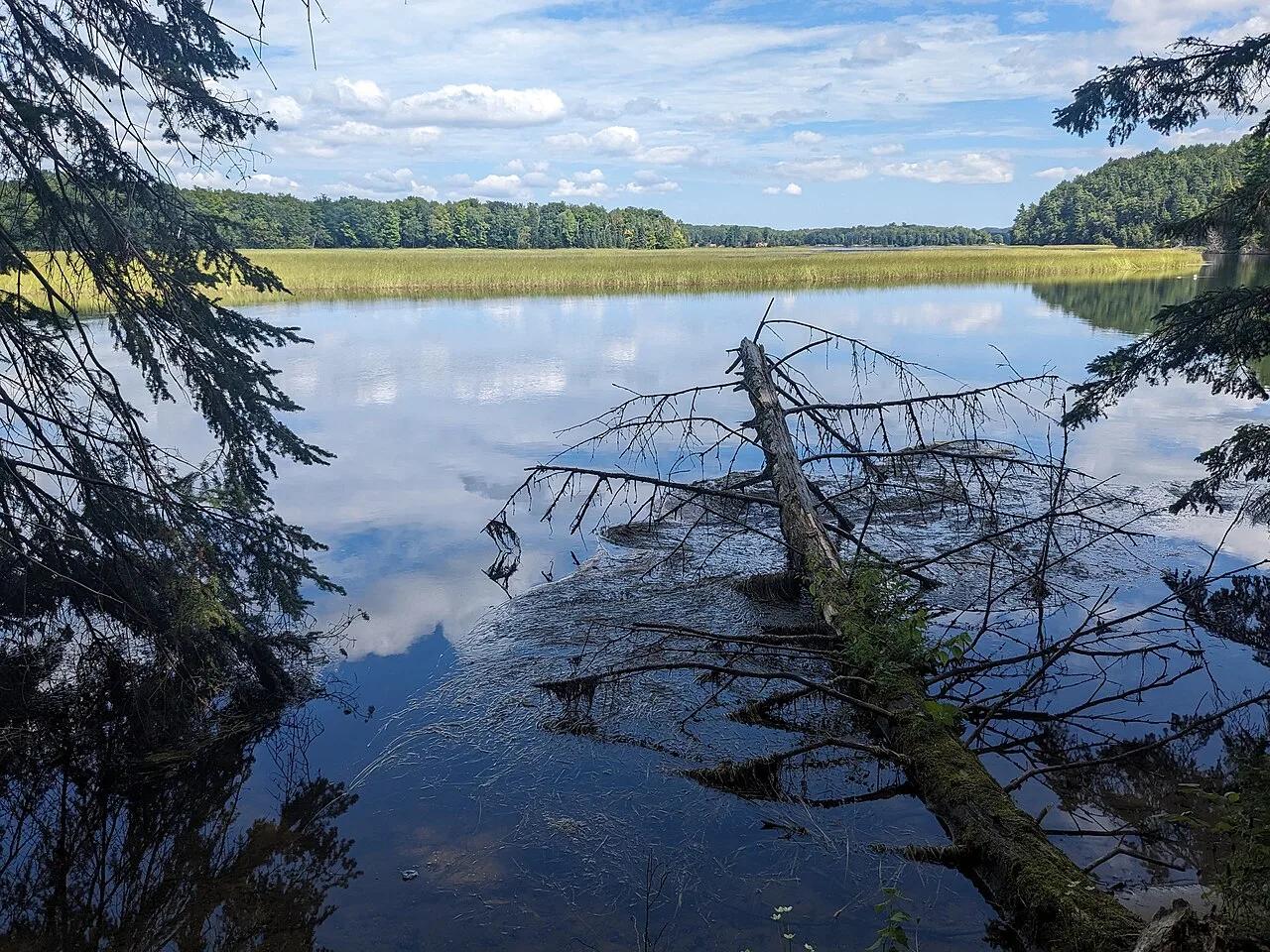
Huron-Manistee National Forests (Oscoda) · Midwest & Great Lakes · Michigan
300-step boardwalk descending 200-foot glacial sand bluffs to natural coldwater springs feeding the Au Sable River canoe corridor.
Photo: Mtn-graphic · CC BY-SA 4.0
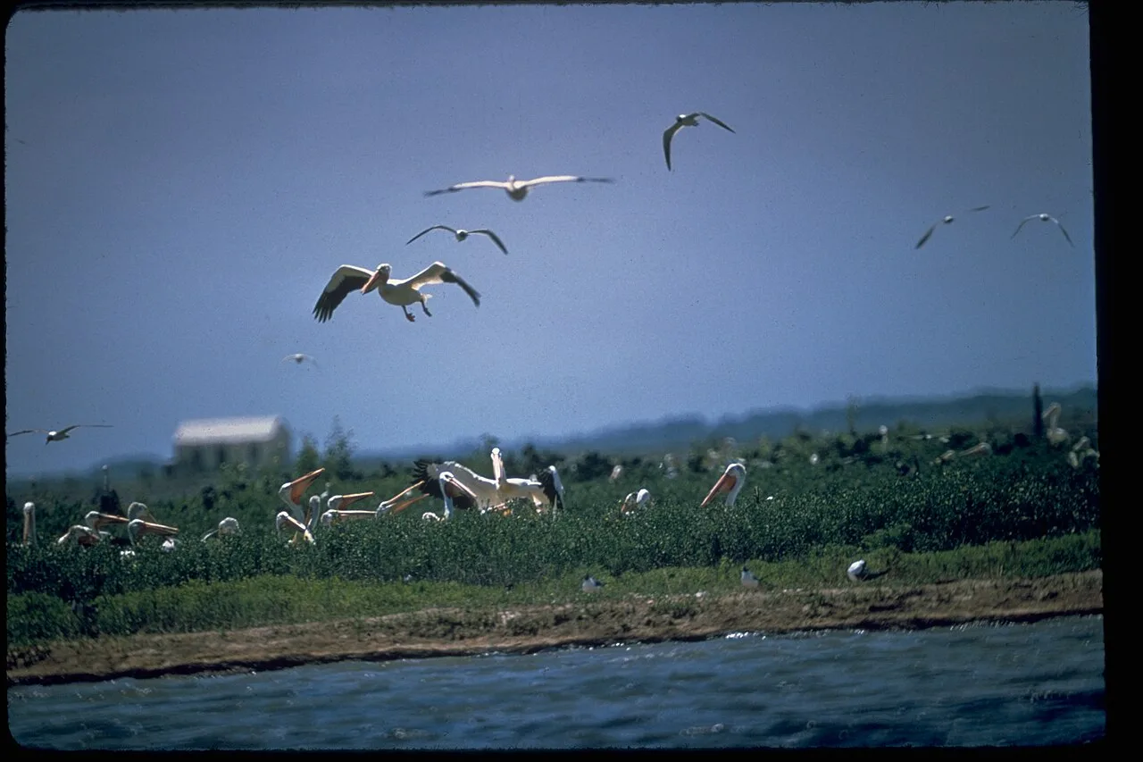
Padre Island National Seashore · Gulf Coast · Texas
The longest undeveloped barrier island in the world, featuring 70 miles of protected Gulf dunes, sea turtle nesting grounds, and shell-strewn sandbars.
Photo: National Park Service Digital Image Archives · Public domain
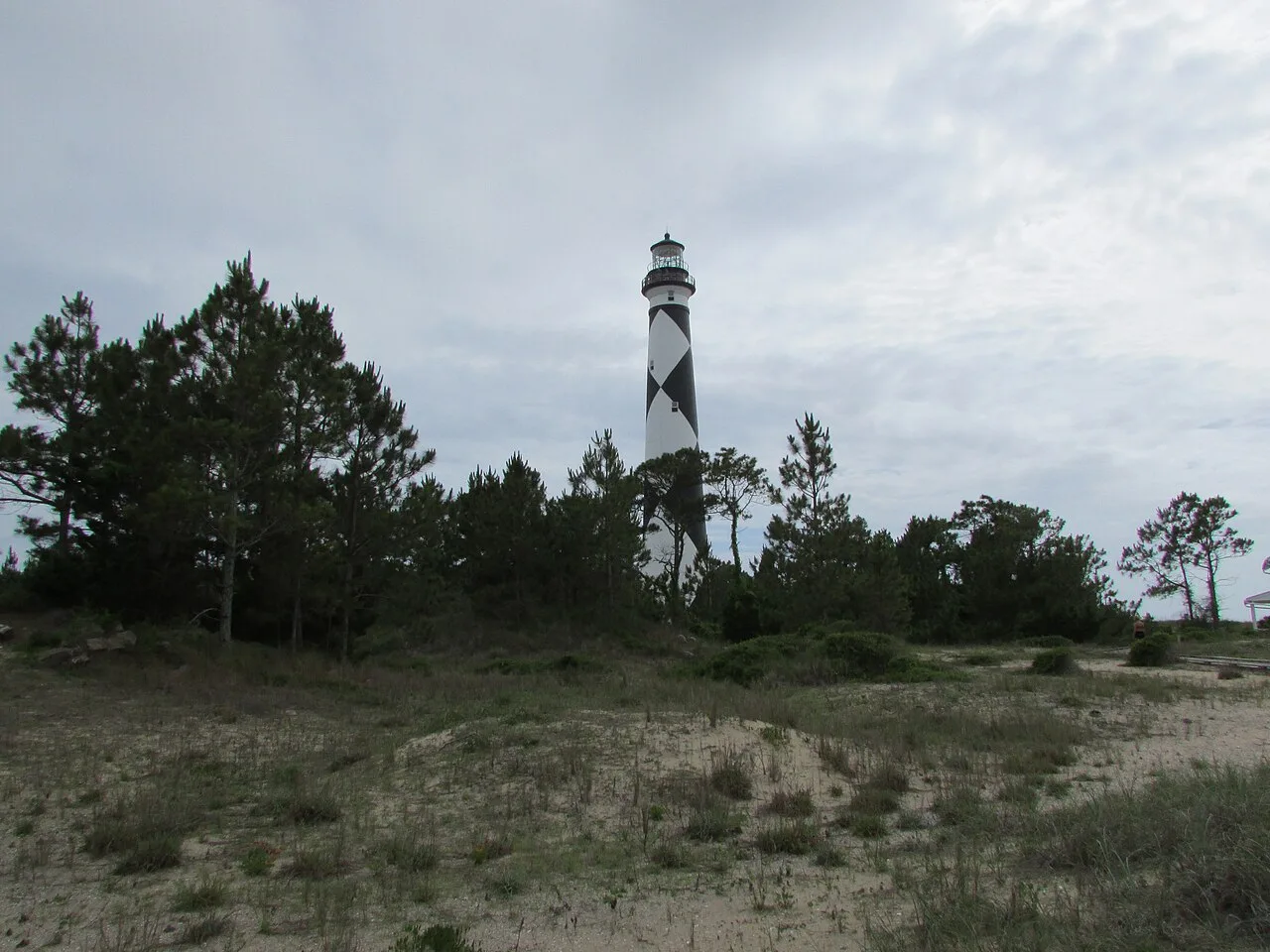
Cape Lookout National Seashore (Outer Banks) · Atlantic & Gulf Coasts · North Carolina
56 miles of undeveloped boat-access barrier island beaches beneath the iconic black-and-white diamond Cape Lookout Lighthouse.
Photo: DrStew82 · CC BY-SA 4.0