Waterfall
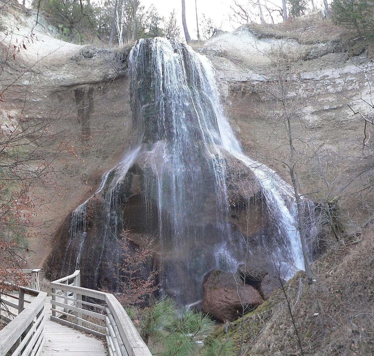
2 photosPetit Jean State Park · South & Gulf Coast · Arkansas
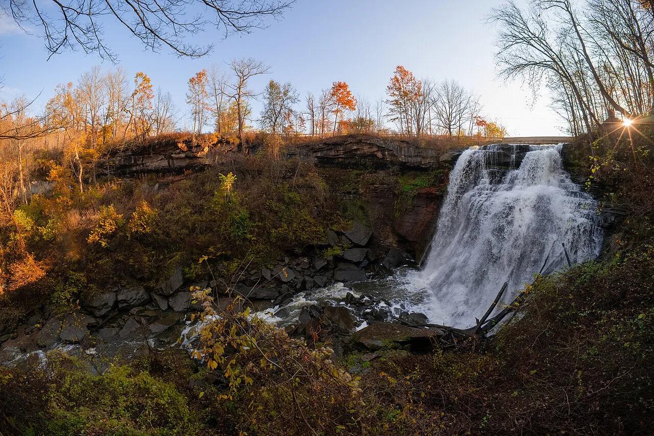
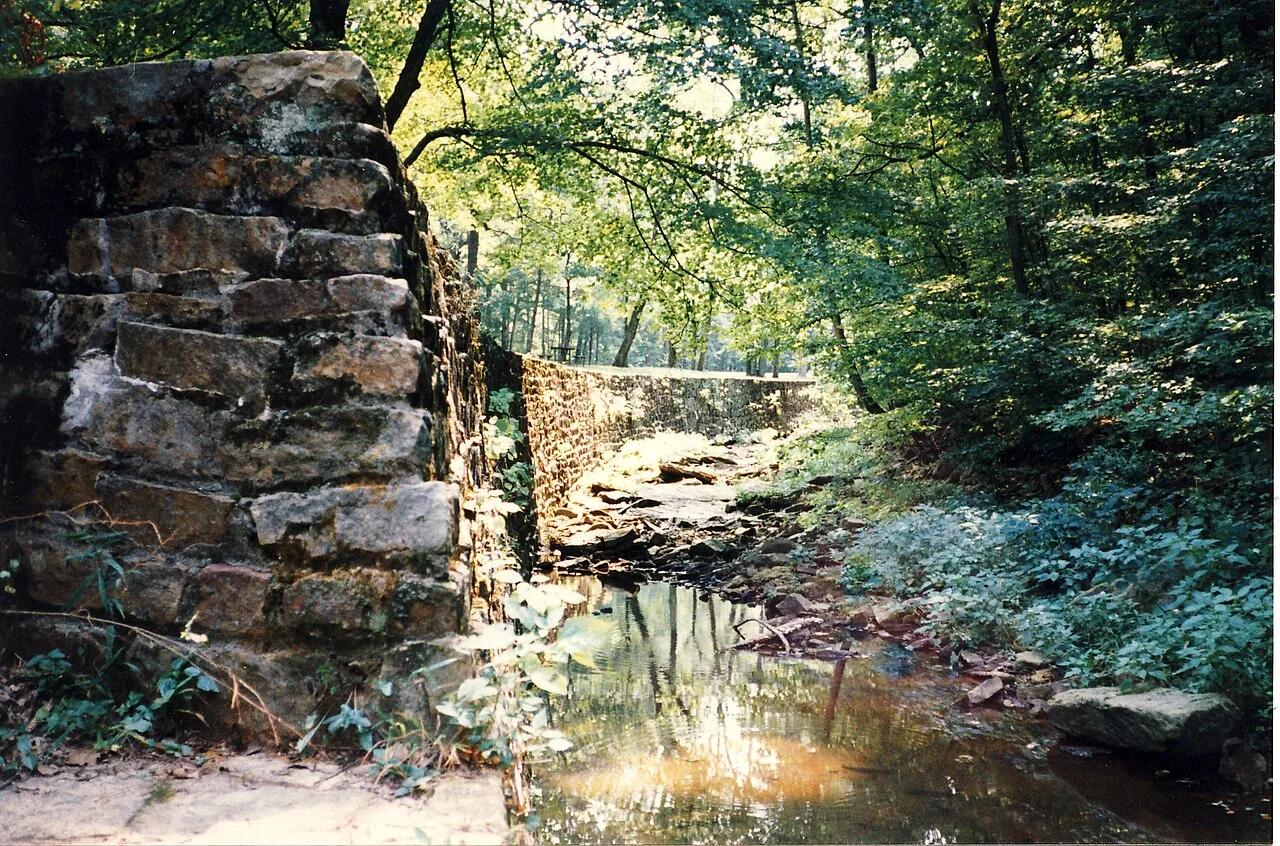
Cedar Falls & Seven Hollows Canyon
95-foot spring-fed waterfall crashing into a sandstone amphitheater below Historic Mather Lodge.
- Route
- 2 mi
- Climb
- 476 ft
Browse & Discover
Filter by activity, state, region, dog policy, or route effort — or use the interactive map below to find waterfalls, trails, beaches, bikeways, skateparks, and campgrounds near any location.
482 of 2,051 places
Drag to pan. Double-click, pinch or scroll to zoom. Keyboard: arrow keys and +/−. Cards below remain available.
Loading map… Browse the spot cards below at any time.
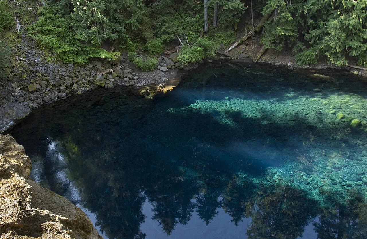
Willamette National Forest · Pacific Northwest · Oregon
Neon topaz-blue spring basin where the underground McKenzie River resurfaces through porous basalt lava fields.
Photo: Bonnie Moreland from Oregon, United States · Public domain
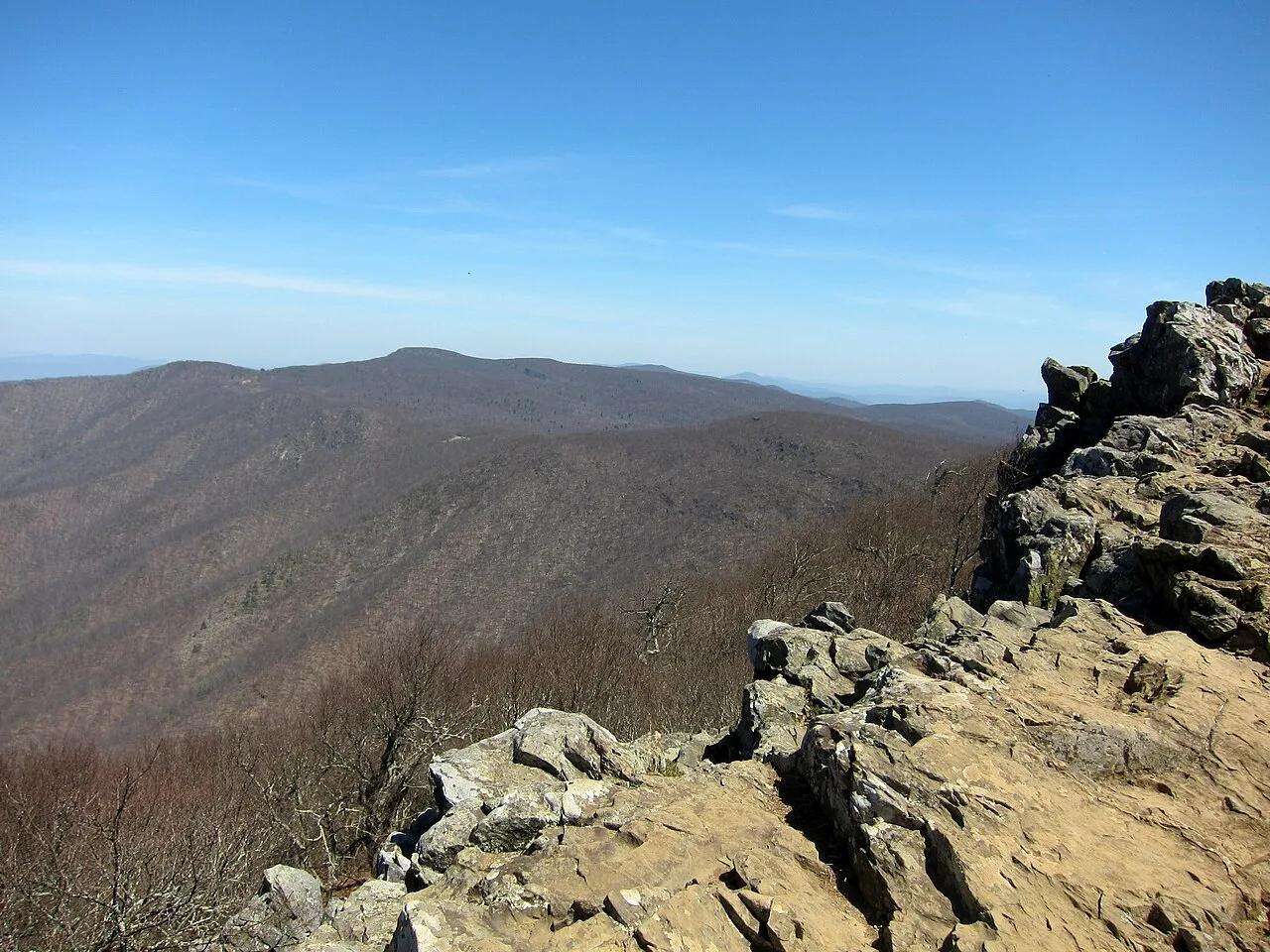
Shenandoah National Park · Appalachian & Blue Ridge · Virginia
Highest peak in Shenandoah National Park (4,050 ft), crowned by Byrds Nest Stone Shelter and rocky talus cliffs harboring the rare Shenandoah salamander.
Photo: AgnosticPreachersKid · CC BY-SA 4.0
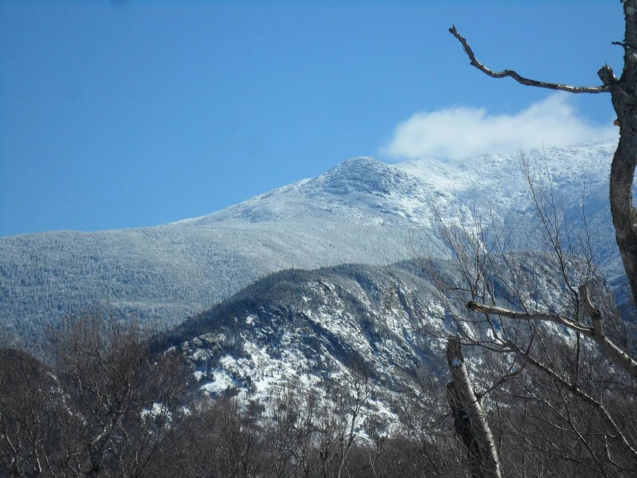
White Mountain National Forest · Northeast & New England · New Hampshire
Knife-edge alpine tundra ridge walk above treeline connecting Little Haystack, Mount Lincoln, and 5,249-foot Mount Lafayette.
Photo: EgorovaSvetlana · CC BY-SA 4.0
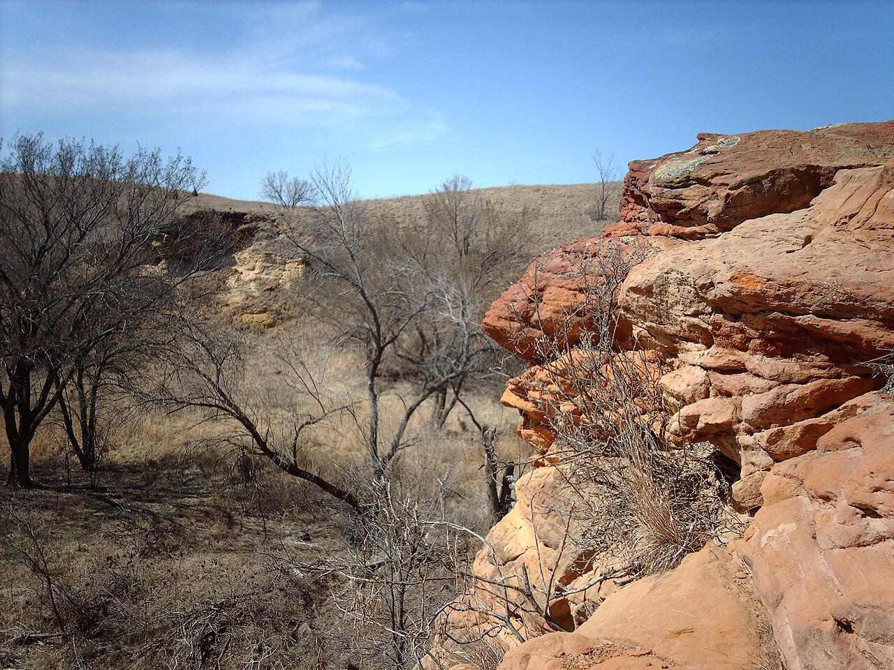
Kanopolis State Park (Smoky Hills) · Great Plains & Heartland · Kansas
Red Dakota Sandstone box canyons, buffalo-trackways, and recess caves open to hikers, trail runners, and mountain bikers.
Photo: Original uploader was Nationalparks at en.wikipedia · CC BY-SA 2.5
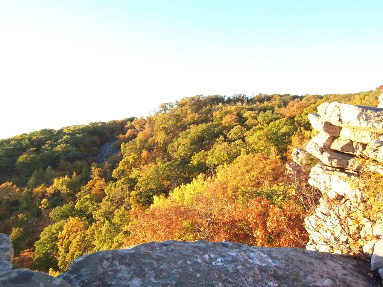
South Mountain State Park / Appalachian Trail · Western Maryland · Maryland
A dramatic 1,700-foot quartzite cliff platform on South Mountain overlooking Greenbrier Lake and the sprawling Cumberland Valley.
Photo: Flickr user: Bob Carney McHenry (Maryland) https://www.flickr.com/people/gotbob/ · CC BY 2.0
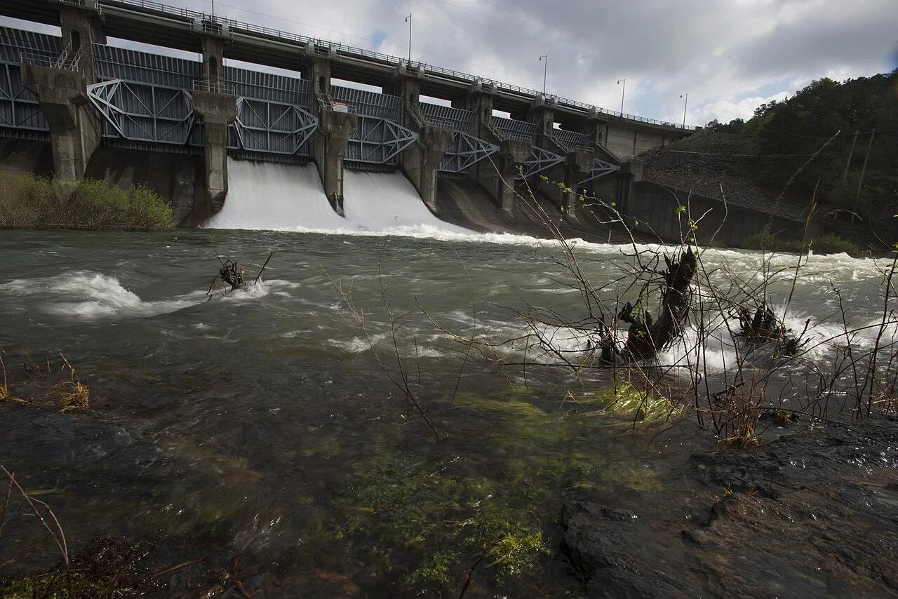
Beavers Bend State Park (Ouachita Mountains) · South & Gulf Coast · Oklahoma
Clear turquoise stair-stepped trout and kayak river winding beneath bald cypress and Ouachita pine ridges.
Photo: U.S. Department of Agriculture Lance Cheung/Photographer/USDA photo by Lance ... · Public domain
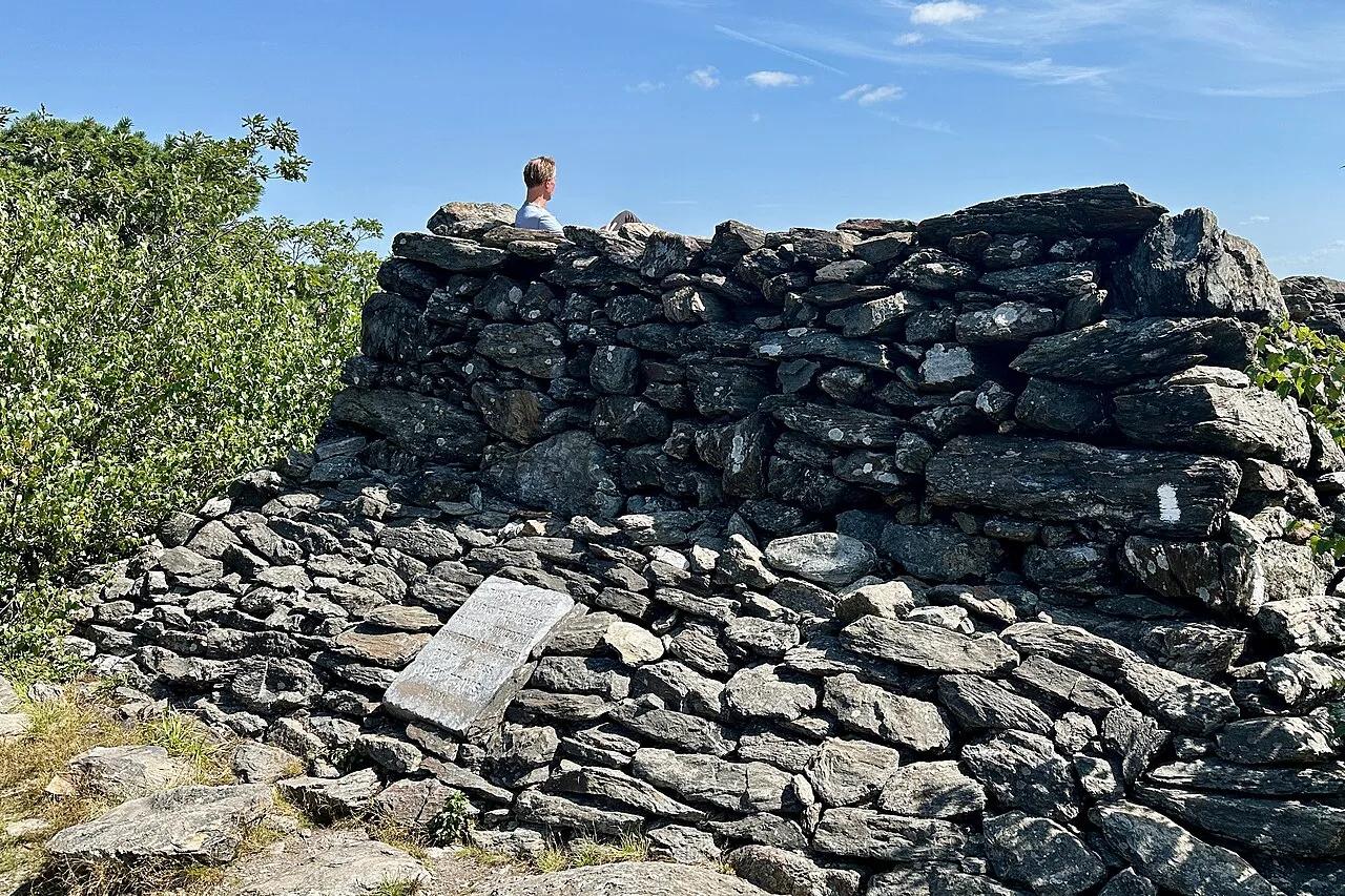
Appalachian Trail / Mount Riga State Park · Litchfield Hills / Northwest CT · Connecticut
Connecticut's highest mountain summit at 2,316 feet topped by a stone pyramid cairn looking out across New York and Massachusetts.
Photo: Zeete · CC BY-SA 4.0