Pawtuckaway State Park · Merrimack Valley · New Hampshire
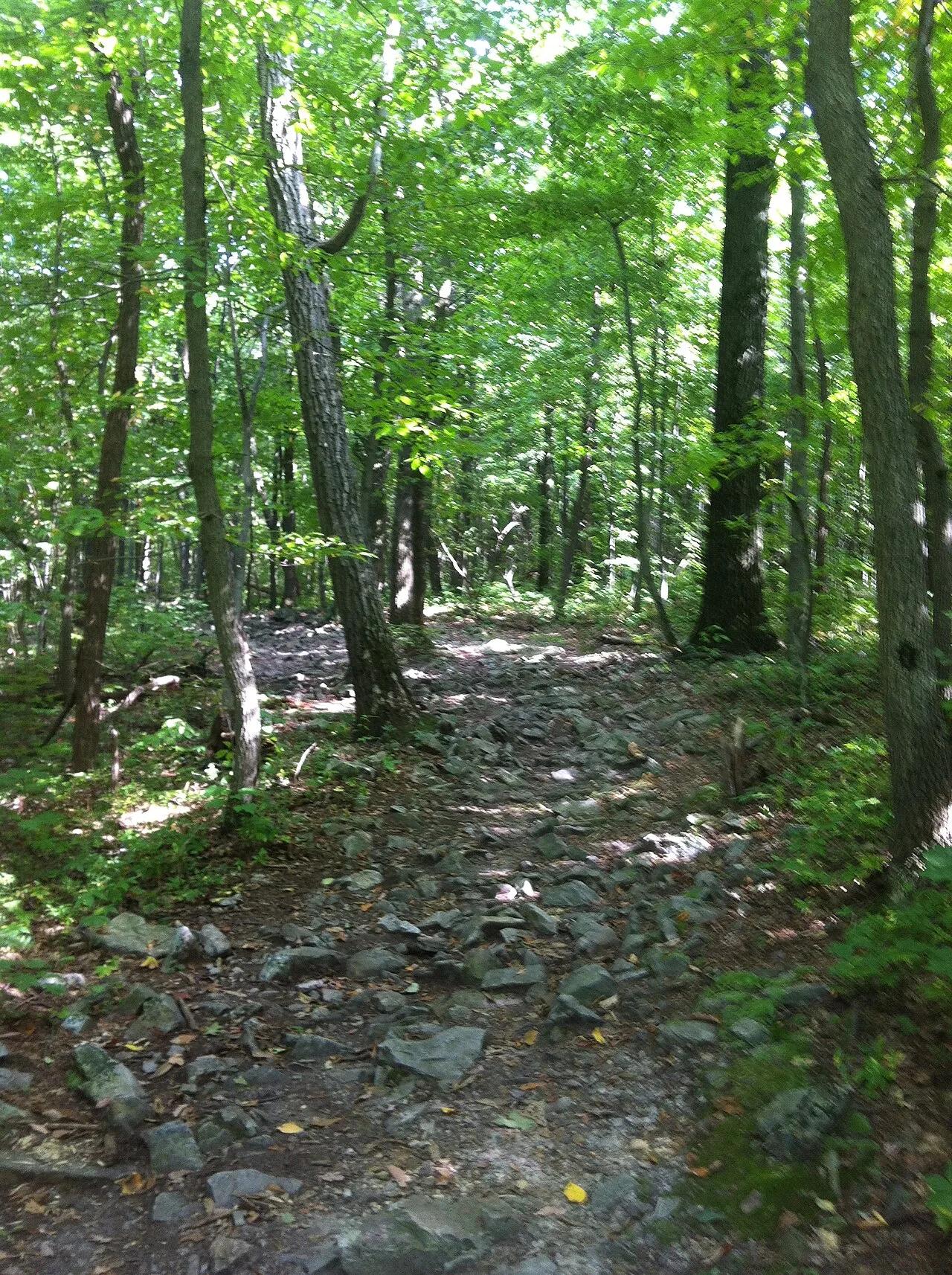
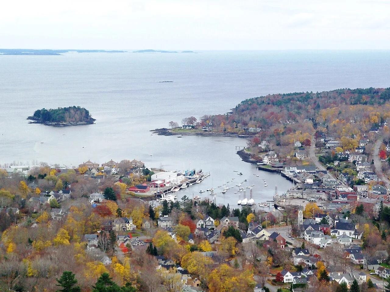
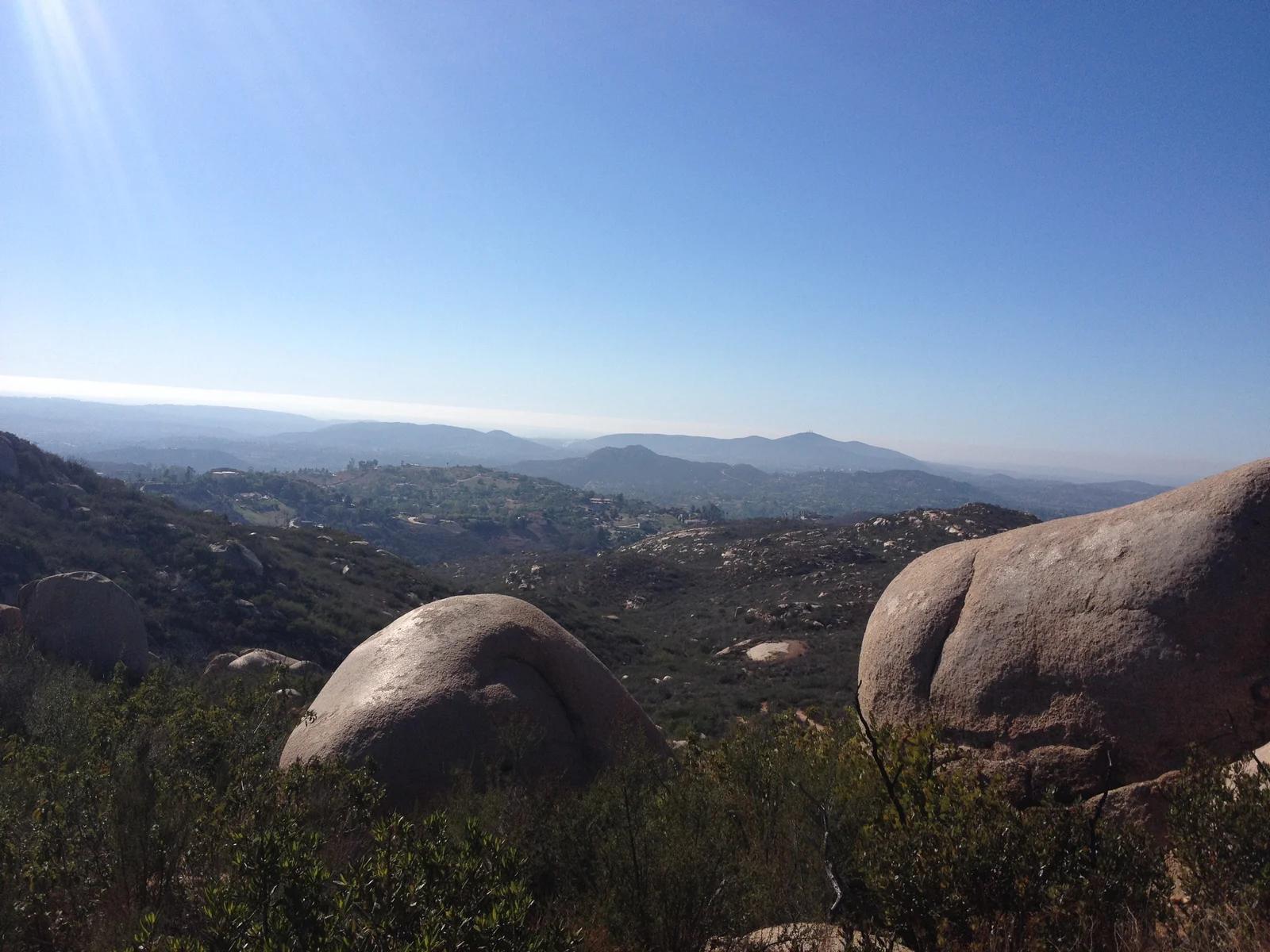
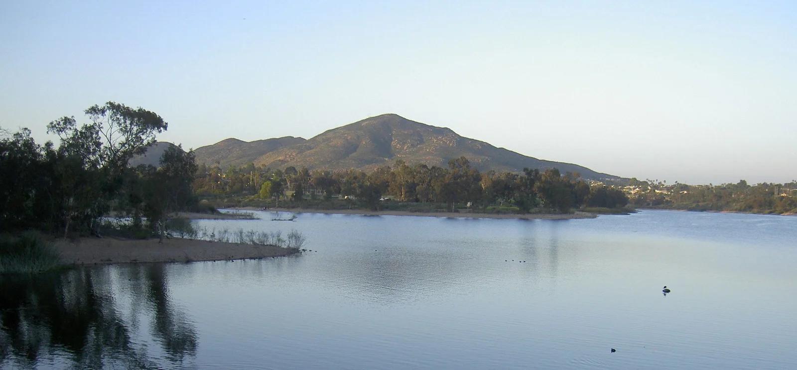
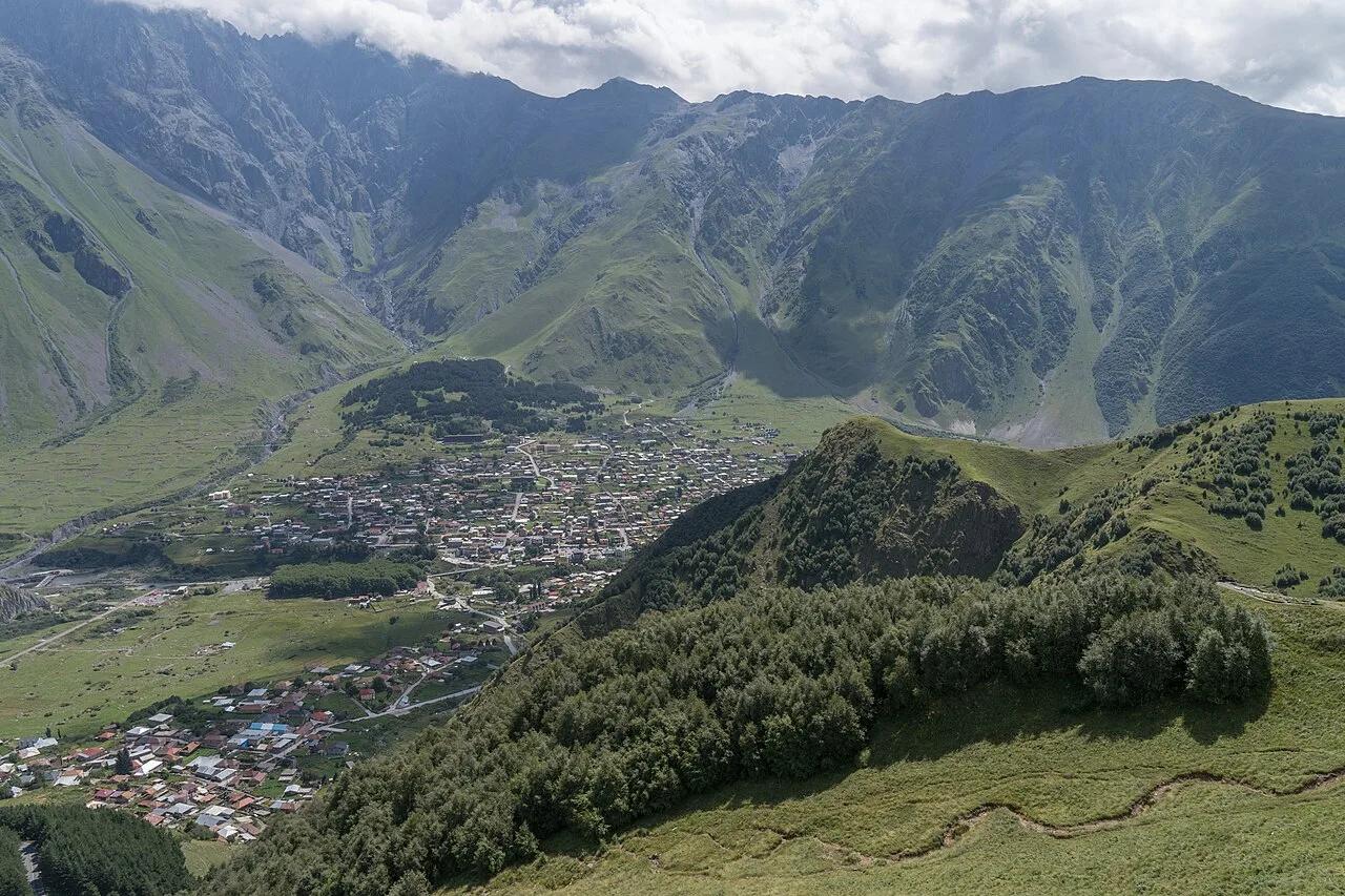
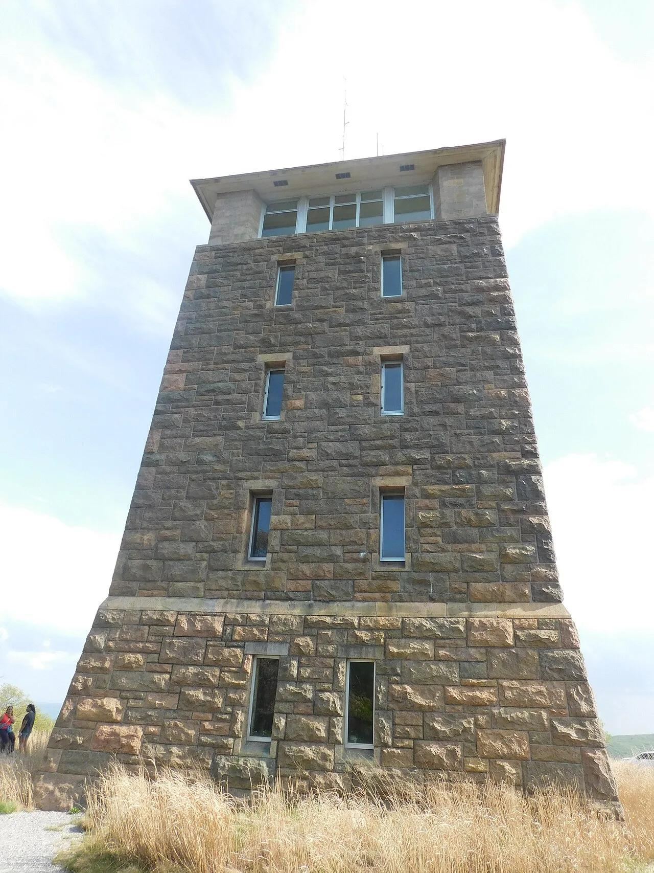
Pawtuckaway Boulder Field & Fire Tower
A massive field of house-sized glacial erratics tucked beneath a volcanic ring dike leads to an active mountaintop fire tower.
- Route
- 4.5 mi
- Climb
- 689 ft
Browse & Discover
Filter by activity, state, region, dog policy, or route effort — or use the interactive map below to find waterfalls, trails, beaches, bikeways, skateparks, and campgrounds near any location.
252 of 2,051 places
Drag to pan. Double-click, pinch or scroll to zoom. Keyboard: arrow keys and +/−. Cards below remain available.
Loading map… Browse the spot cards below at any time.

Mission Peak Regional Preserve
The bare grassland summit above Fremont, marked by the Mission Peeker sighting pole and climbed by the Hidden Valley Trail from Stanford Avenue.
Oleg Alexandrov · CC BY-SA 3.0. Source & image licence

Angeles National Forest
The highest summit of the San Gabriel Mountains, reached from Baldy Notch along the exposed Devils Backbone ridge.
Darkest tree · CC BY-SA 4.0. Source & image licence

Santa Monica Mountains National Recreation Area
The highest point in the Santa Monica Mountains, climbed from the Mishe Mokwa trailhead along the Backbone Trail at Circle X Ranch.
Wasquewhat · CC BY-SA 4.0. Source & image licence

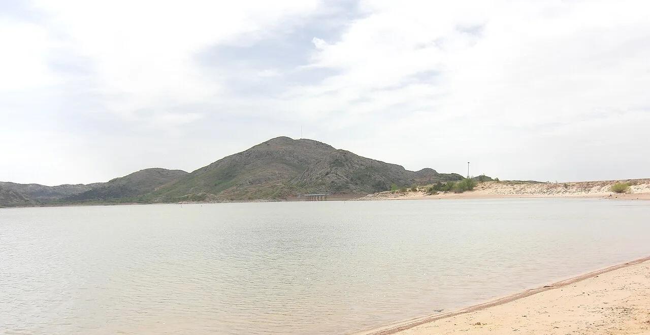
Quartz Mountain State Park (Lone Wolf) · Great Plains & Heartland · Oklahoma
500-million-year-old Cambrian pink granite dome rising above southwestern Oklahoma plains and the sparkling waters of Lake Altus-Lugert.
Photo: Geotechnogeek · CC BY-SA 3.0

Appalachian National Scenic Trail (Hamburg) · Berks County / Blue Mountain · Pennsylvania
One of the most famous vistas on the Pennsylvania Appalachian Trail, jutting over the Lehigh Valley on a dramatic quartzite ledge.
Photo: Relock2 · CC BY-SA 4.0

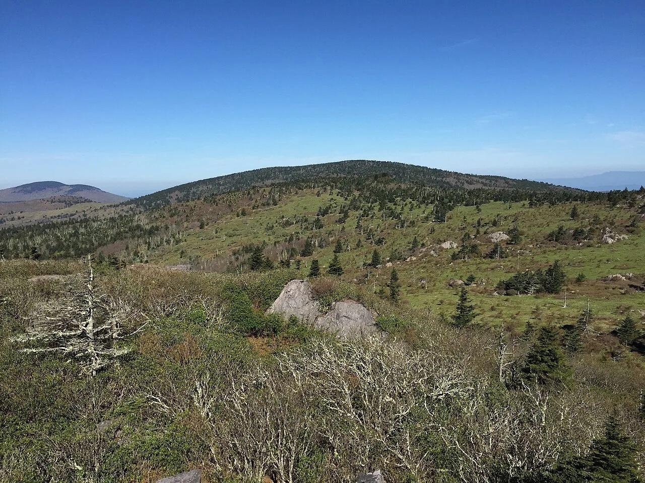
Mount Rogers National Recreation Area · Appalachian & Blue Ridge · Virginia
High-elevation red spruce-Fraser fir sky island and rhyolite boulder balds grazed by wild Grayson Highlands ponies along the Appalachian Trail.
Photo: Famartin · CC BY-SA 4.0

Grayson Highlands State Park / Jefferson NF · Appalachian & Blue Ridge · Virginia
High-elevation granite outcrops and wind-swept subalpine meadows where wild herds of ponies graze along the Appalachian Trail.
Photo: Virginia State Parks · CC BY 2.0

Adirondack High Peaks Wilderness · Adirondacks · New York
A sweeping, 4,098-foot open bedrock peak delivering uninterrupted 360-degree panoramas of Lake Placid and the Adirondack High Peaks.
Photo: stillwellmike · CC BY-SA 2.0

Pisgah & Cherokee National Forests (Carvers Gap) · Appalachian & Blue Ridge · North Carolina
Grassy 5,800-foot southern Appalachian grassy balds ablaze with Catawba rhododendron blooms and 360-degree views of the Black Mountains.
Photo: Brian Stansberry · CC BY 2.5

Kazbegi National Park (Greater Caucasus) · Central Europe · Georgia
14th-century stone mountain sanctuary perched on an alpine ridge beneath the 5,054-meter ice dome of Mount Kazbek (Mkinvartsveri).
Photo: Alexkom000 · CC BY 4.0

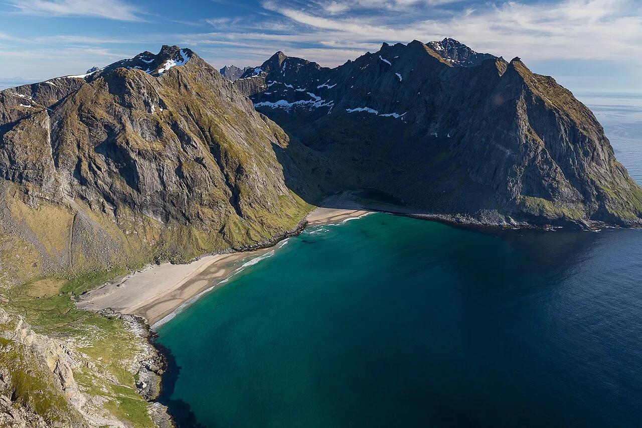
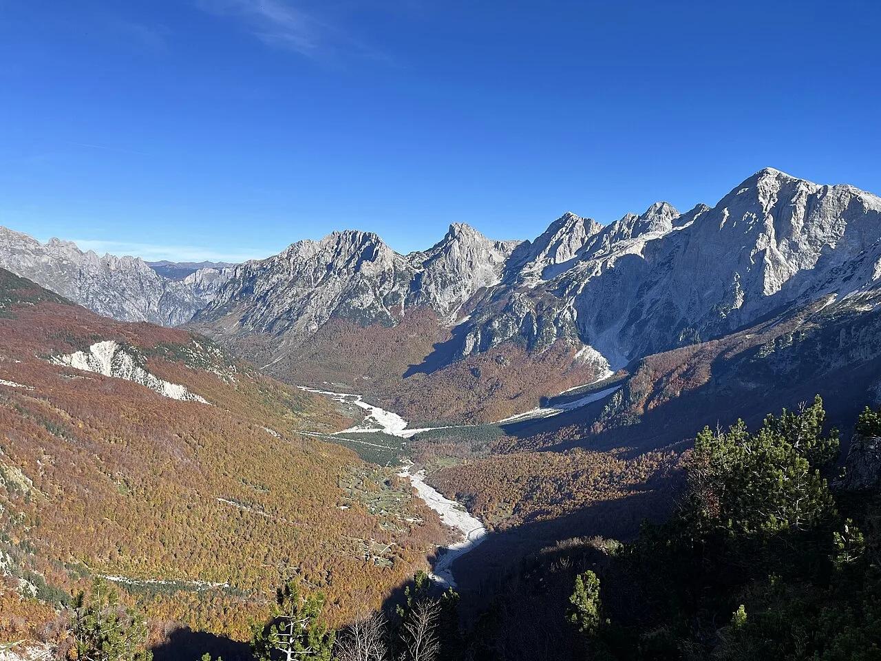
Alpet e Shqipërisë National Park (Peaks of the Balkans) · Mediterranean Europe · Albania
Flagship day crossing of the Albanian Alps (Prokletije) linking the stone-tower villages of Theth and Valbona across a 1,795-meter limestone saddle.
Photo: FifiHeatWave · CC BY-SA 4.0

Okanogan-Wenatchee National Forest / North Cascades · Pacific Northwest · Washington
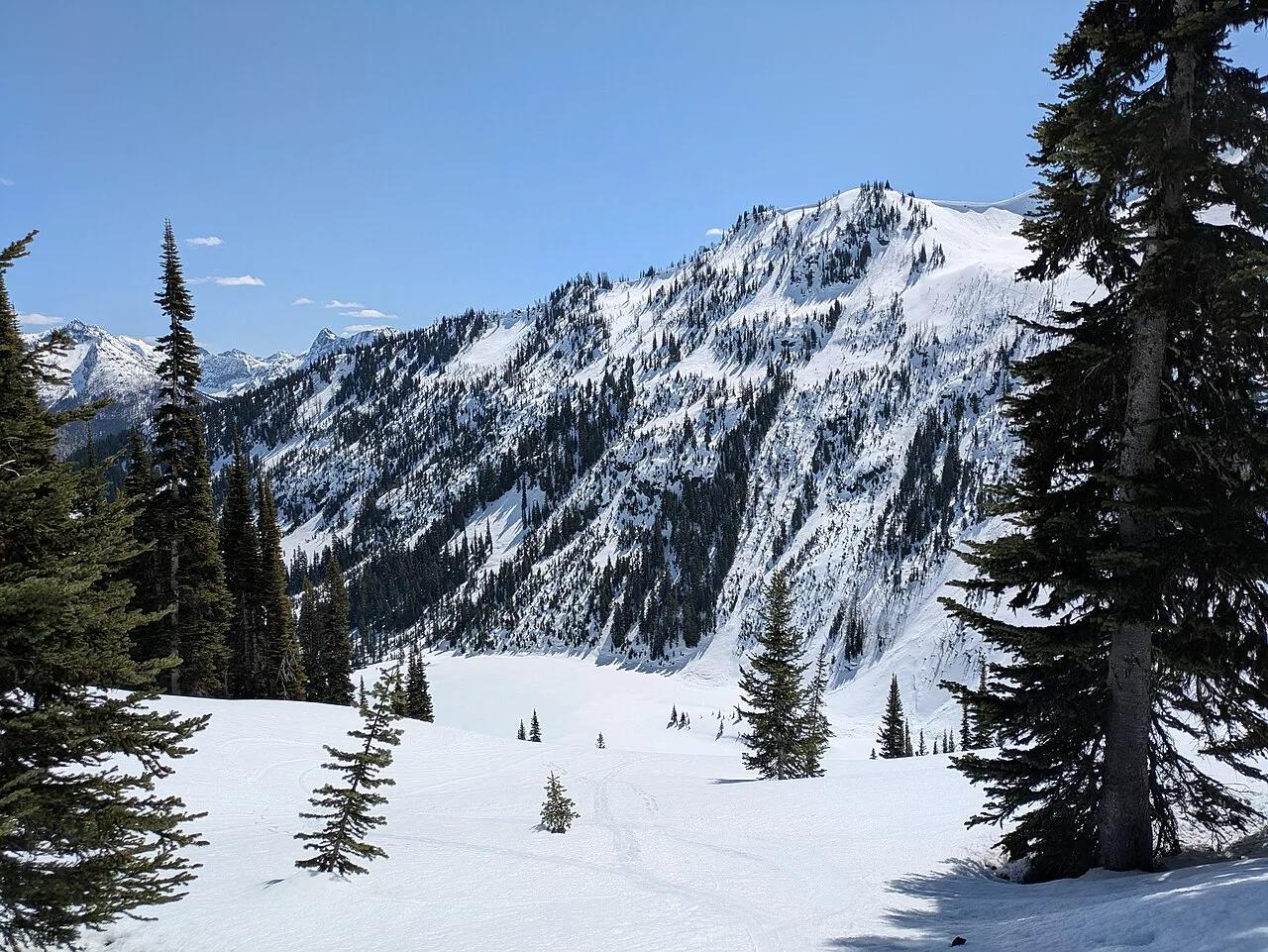
Golden autumn larch needles and glacier-carved horn peaks encircling emerald Lake Ann and Rainy Lake at 6,650 feet.
Photo: Buidhe · CC BY-SA 4.0

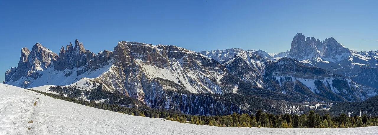
Puez-Odle Nature Park (Dolomites UNESCO) · European Alps · Italy
2,518-meter emerald alpine pasture tilted dramatically toward the jagged diagonal Dolomite blades of the Fermeda and Odle group.
Photo: This Photo was taken by Wolfgang Moroder. Feel free to use my photos, but ple... · CC BY-SA 3.0

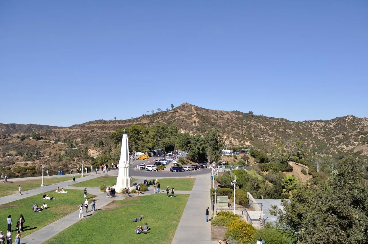
Griffith Park · Santa Monica Mountains
Hilltop in Griffith Park (Santa Monica Mountains), about 7 miles northwest of downtown Los Angeles. Typical outing is 5.0 miles with 1,050 ft of climb. Popular with local hikers and Los Angeles hiking Meetup groups.
Photo: The Fun Chronicles · Public domain

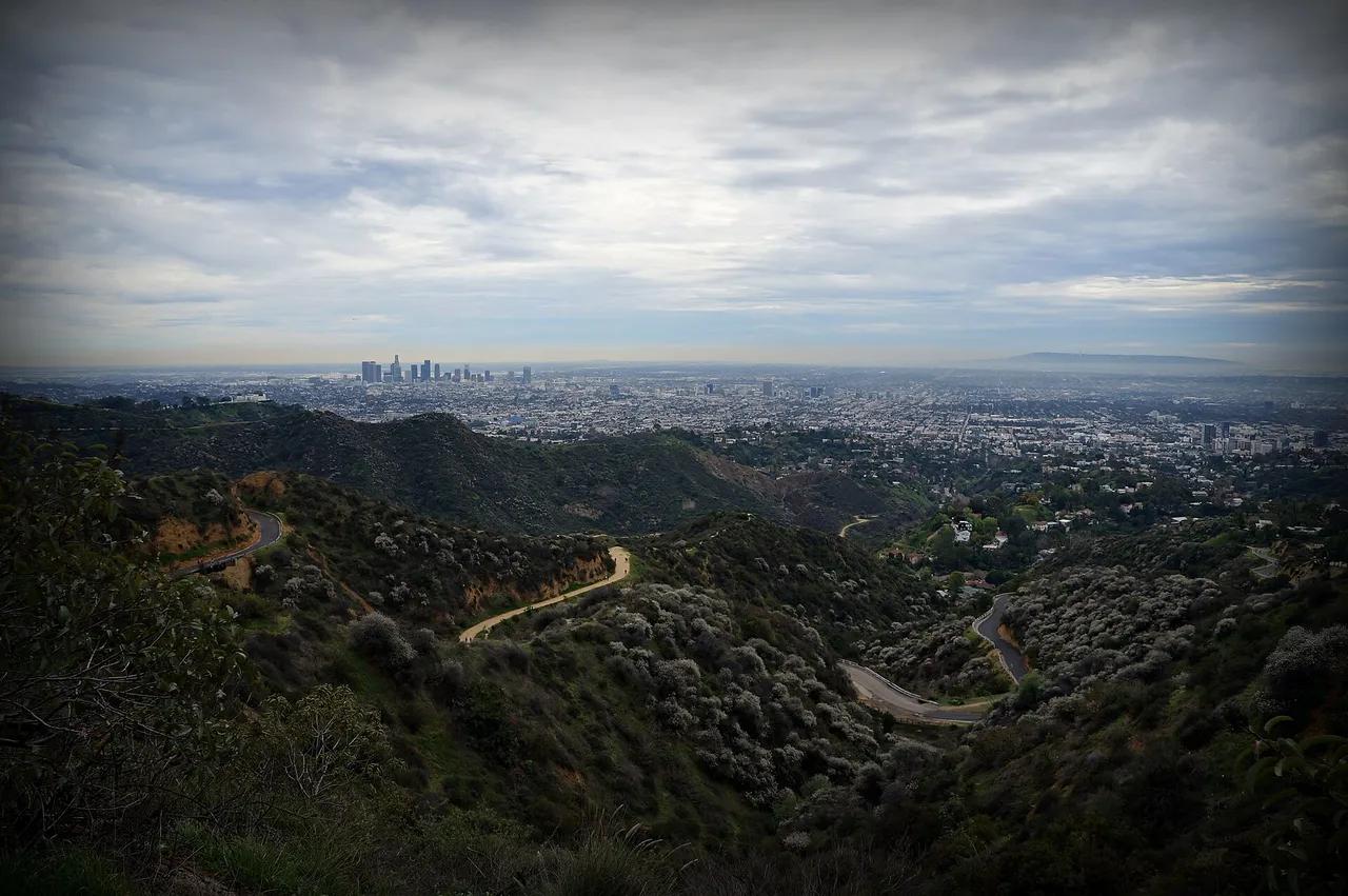
Griffith Park · Santa Monica Mountains
Hilltop in Griffith Park (Santa Monica Mountains), about 7 miles northwest of downtown Los Angeles. Typical outing is 6.0 miles with 1,120 ft of climb. Popular with local hikers and Los Angeles hiking Meetup groups.
Photo: James Gubera · CC BY 2.0

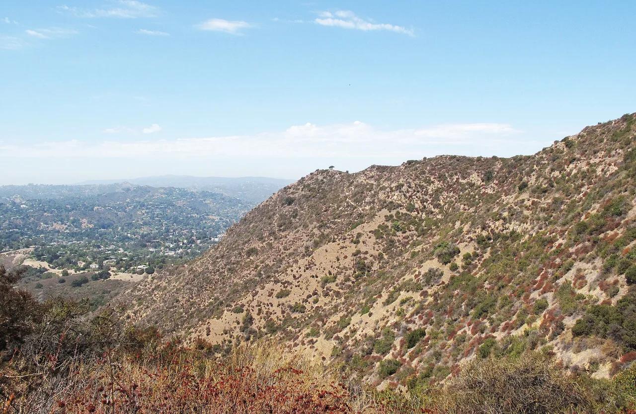
Griffith Park · Santa Monica Mountains
Hilltop in Griffith Park (Santa Monica Mountains), about 8 miles northwest of downtown Los Angeles. Typical outing is 3.0 miles with 870 ft of climb. Popular with local hikers and Los Angeles hiking Meetup groups.
Photo: Downtowngal · CC BY-SA 3.0

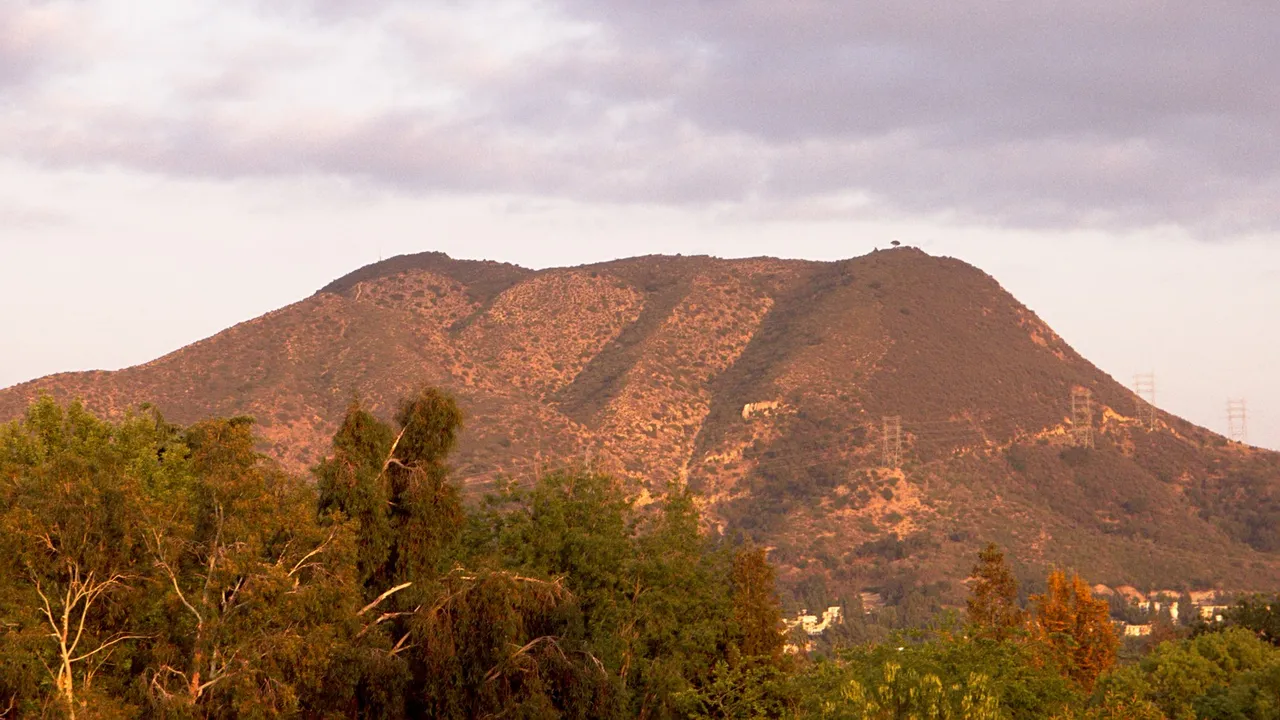
Griffith Park · Santa Monica Mountains
Hilltop in Griffith Park (Santa Monica Mountains), about 7 miles northwest of downtown Los Angeles. Typical outing is 3.6 miles with 1,020 ft of climb. Popular with local hikers and Los Angeles hiking Meetup groups.
Photo: Junkyardsparkle · Public domain

Santa Monica Mountains National Recreation Area · Santa Monica Mountains
Hilltop in Santa Monica Mountains National Recreation Area (Santa Monica Mountains), about 40 miles west of downtown Los Angeles. Typical outing is 6.1 miles with 1,075 ft of climb. Popular with local hikers and Los Angeles hiking Meetup groups.
Photo: Santa Monica Mountains National Recreation Area · Public domain

Rocky Peak Park · Santa Monica Mountains
Hilltop in Rocky Peak Park (Santa Monica Mountains), about 27 miles northwest of downtown Los Angeles. Typical outing is 4.8 miles with 1,180 ft of climb. Popular with local hikers and Los Angeles hiking Meetup groups.
Photo: Junkyardsparkle · Public domain