Peak
Sequoia and Kings Canyon National Parks · Eastern Sierra
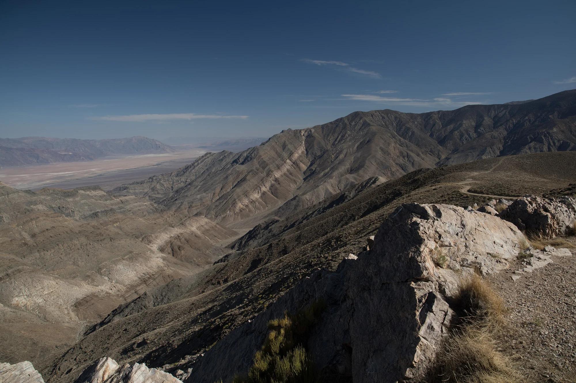
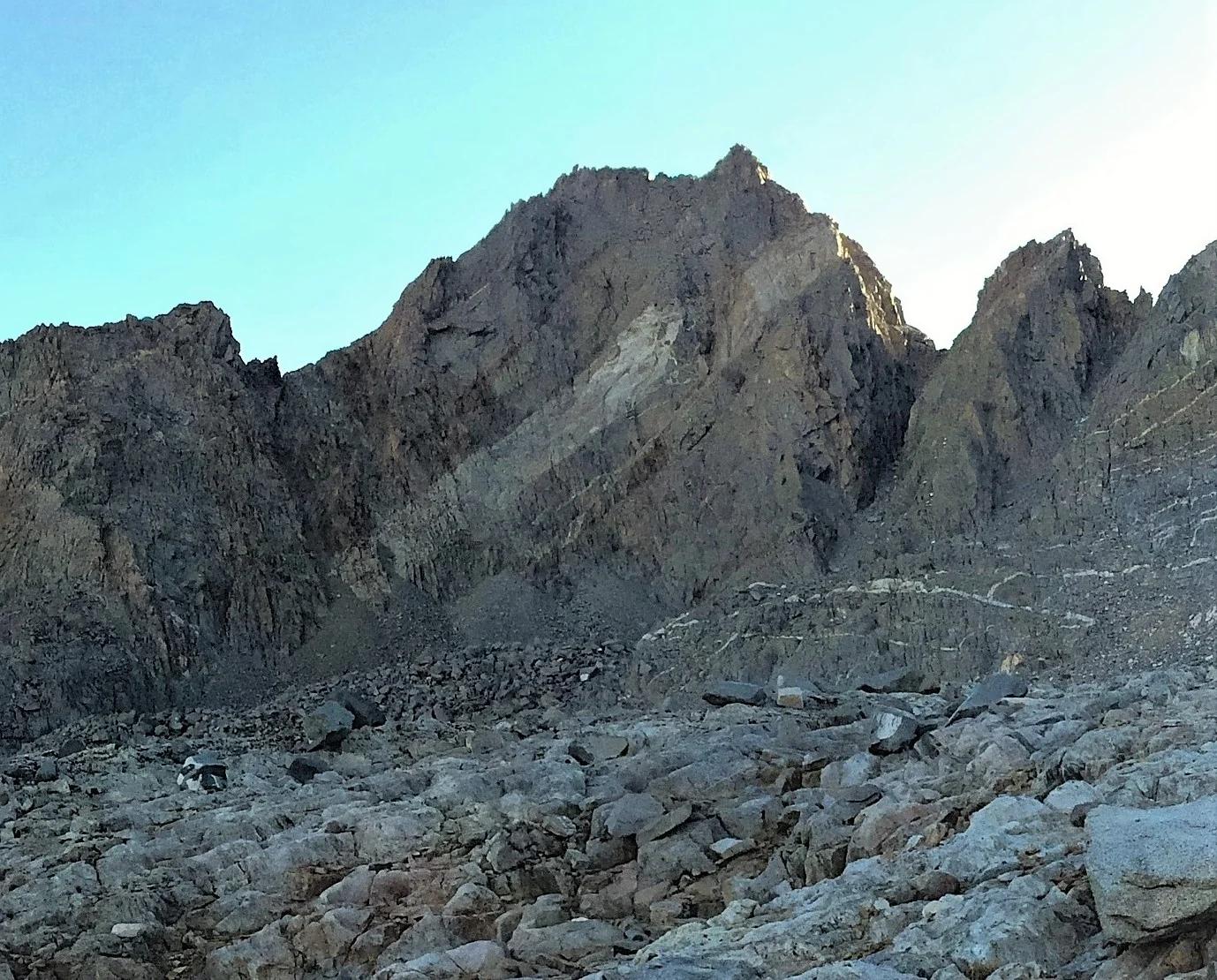
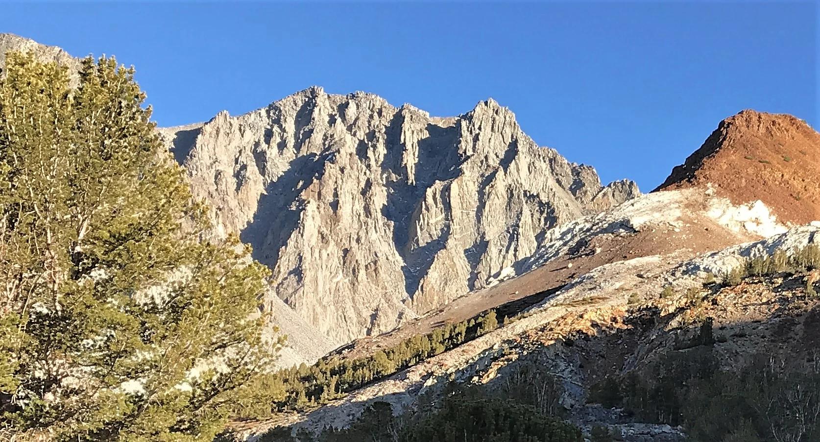
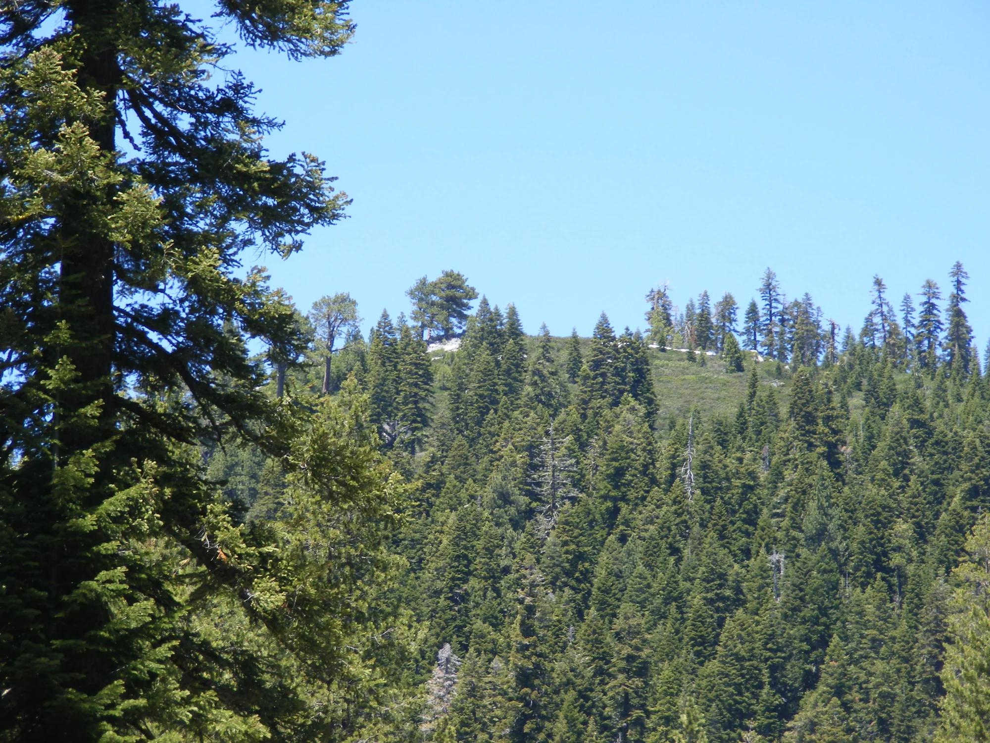
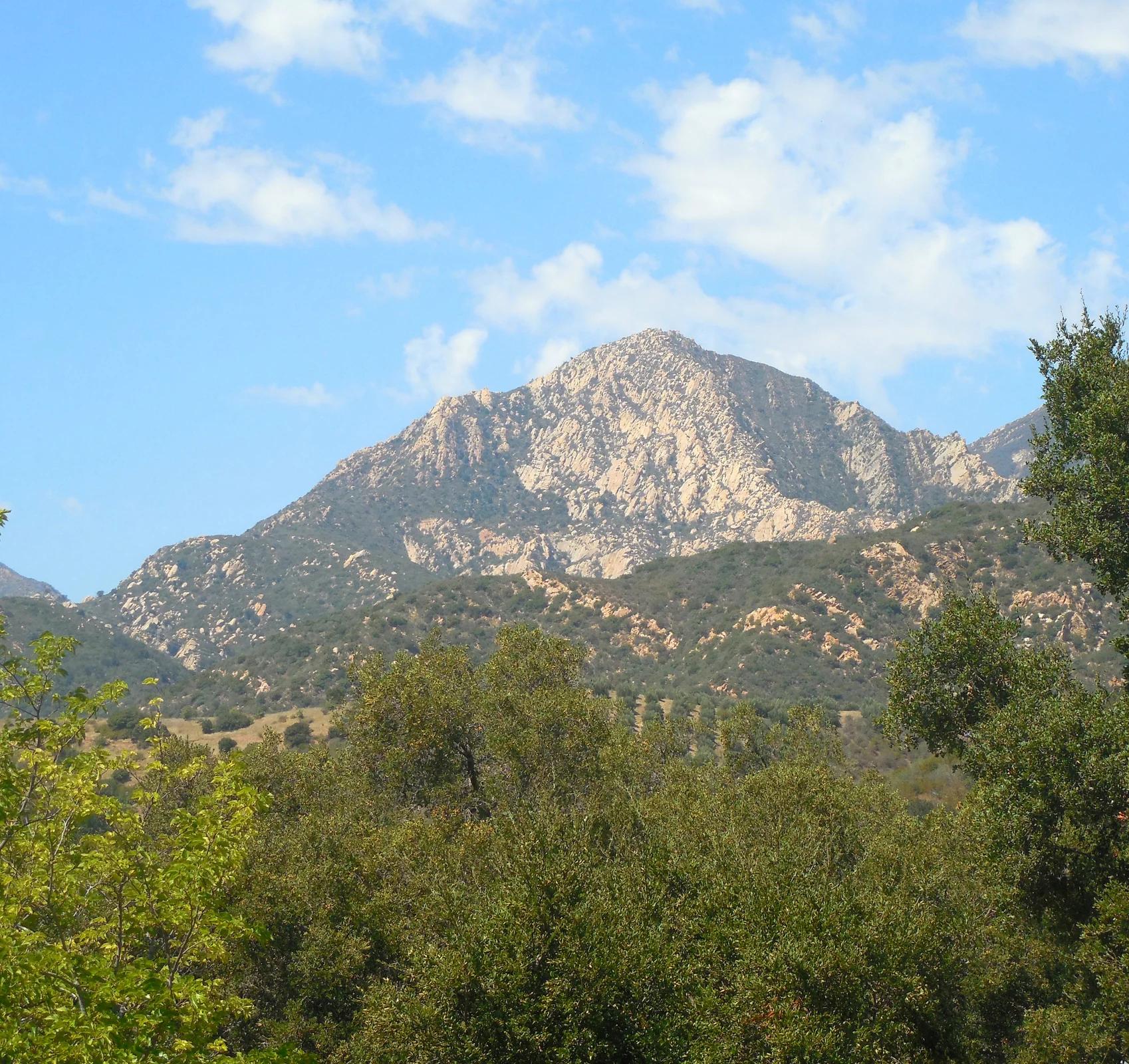
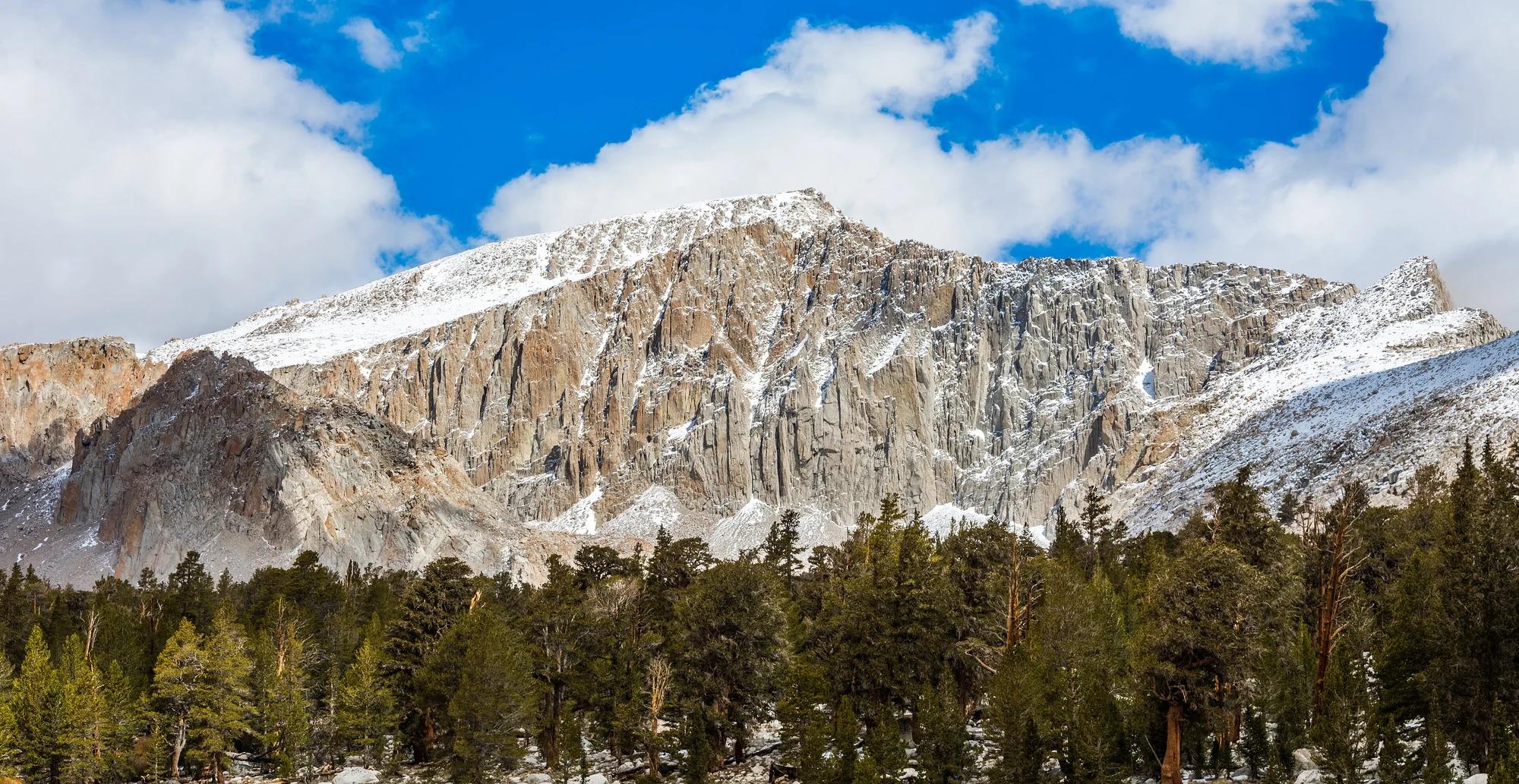
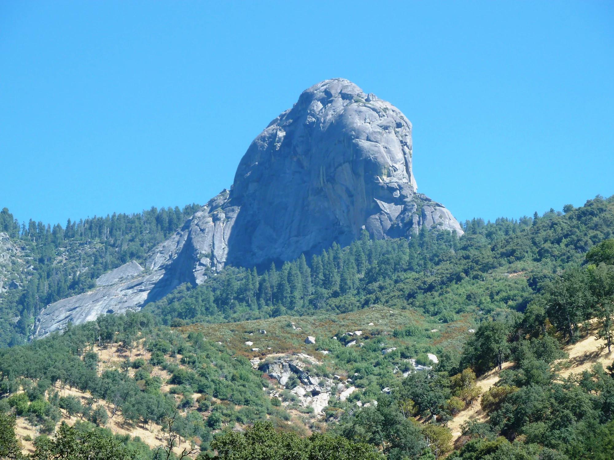
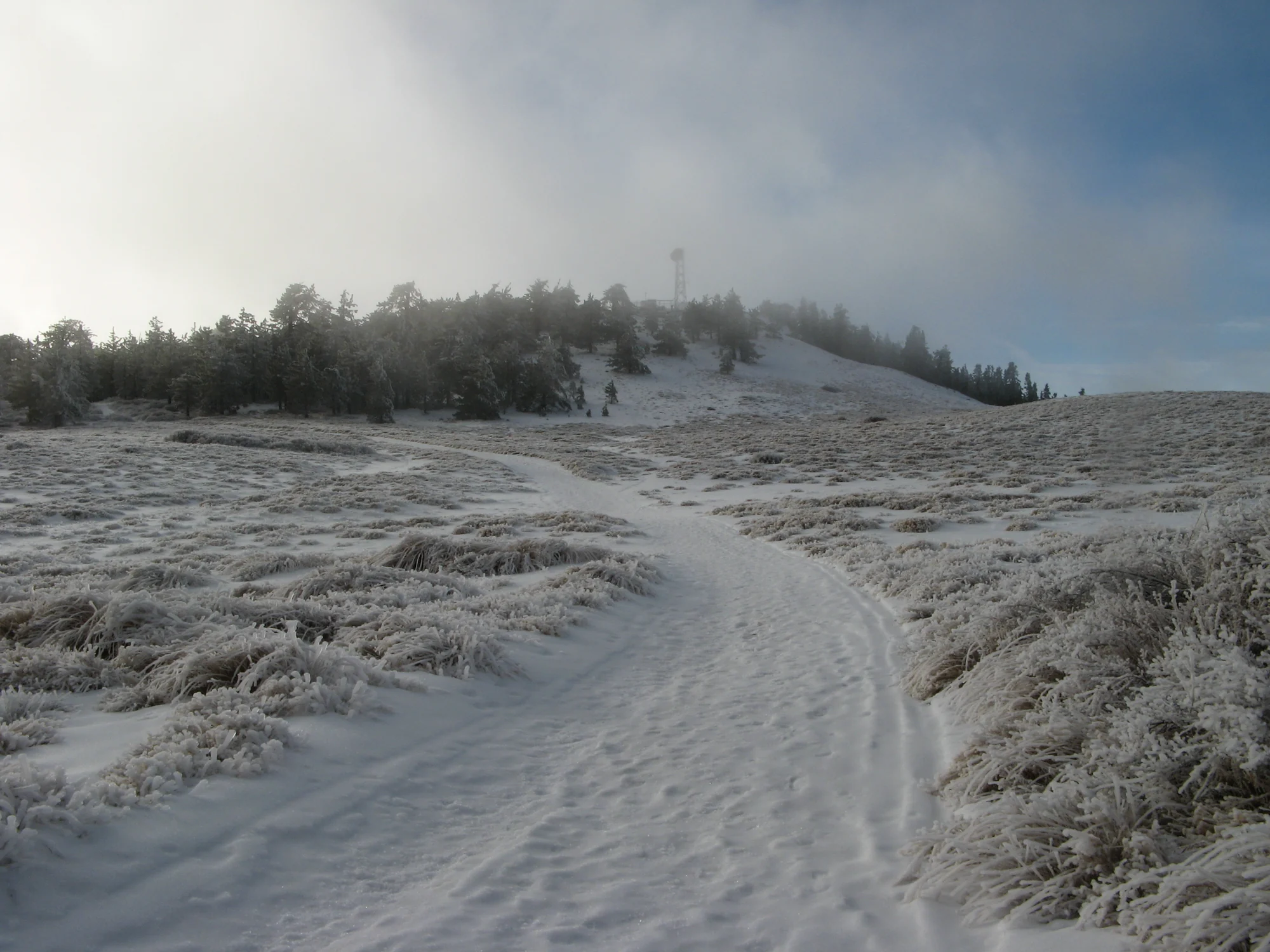
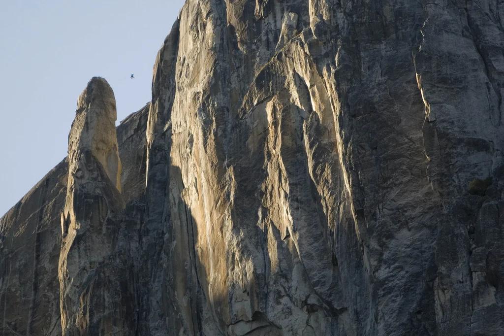
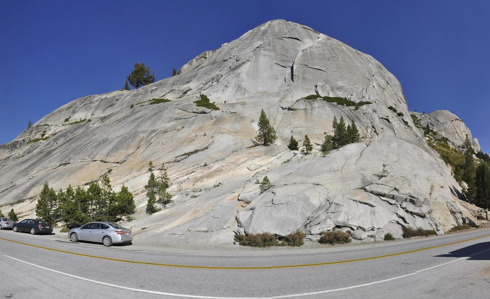
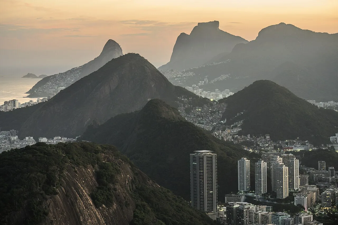
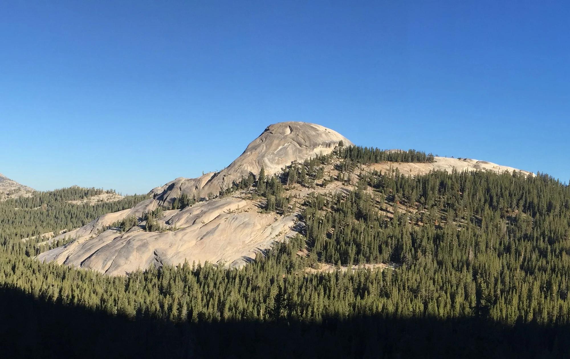
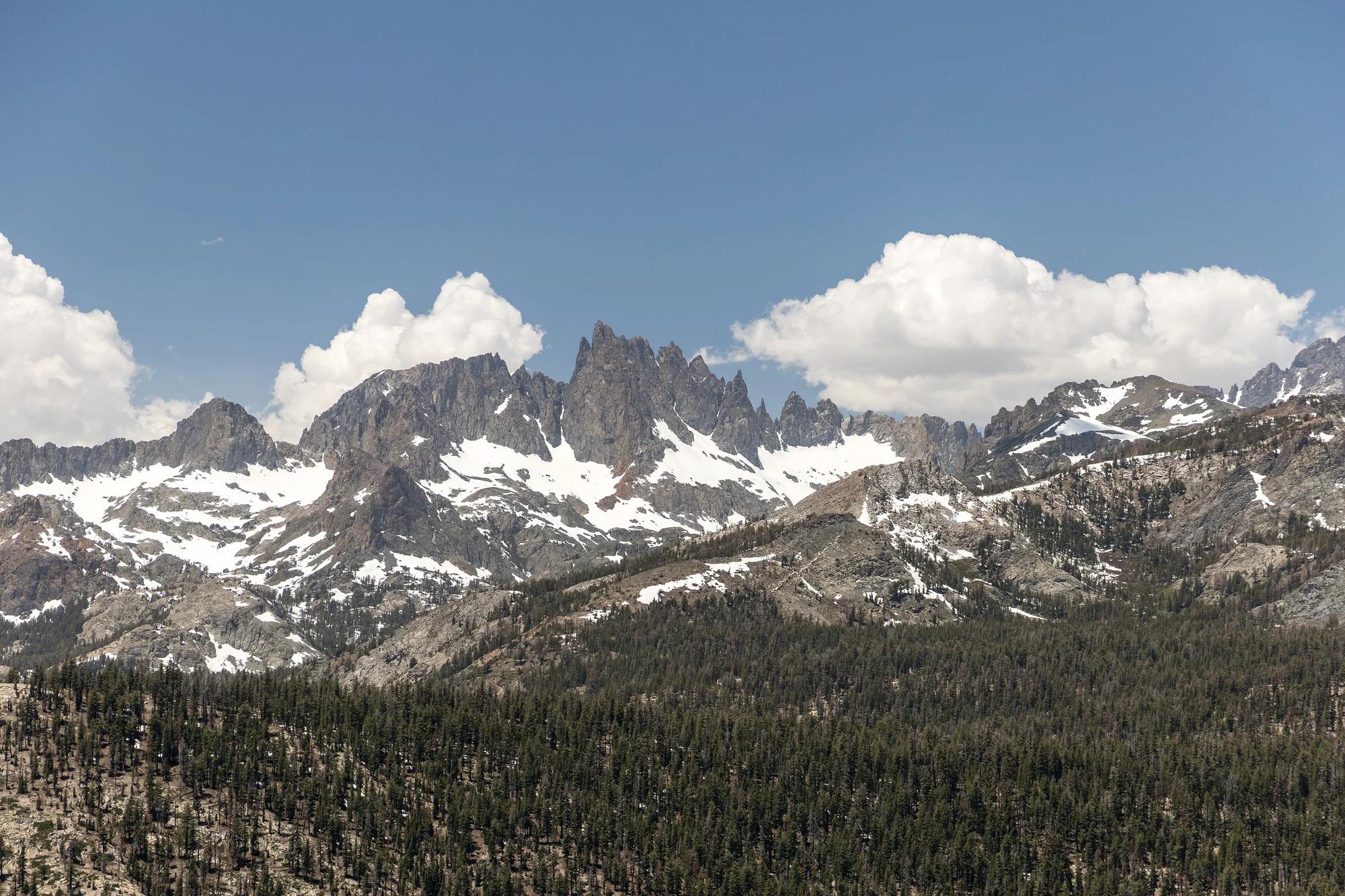
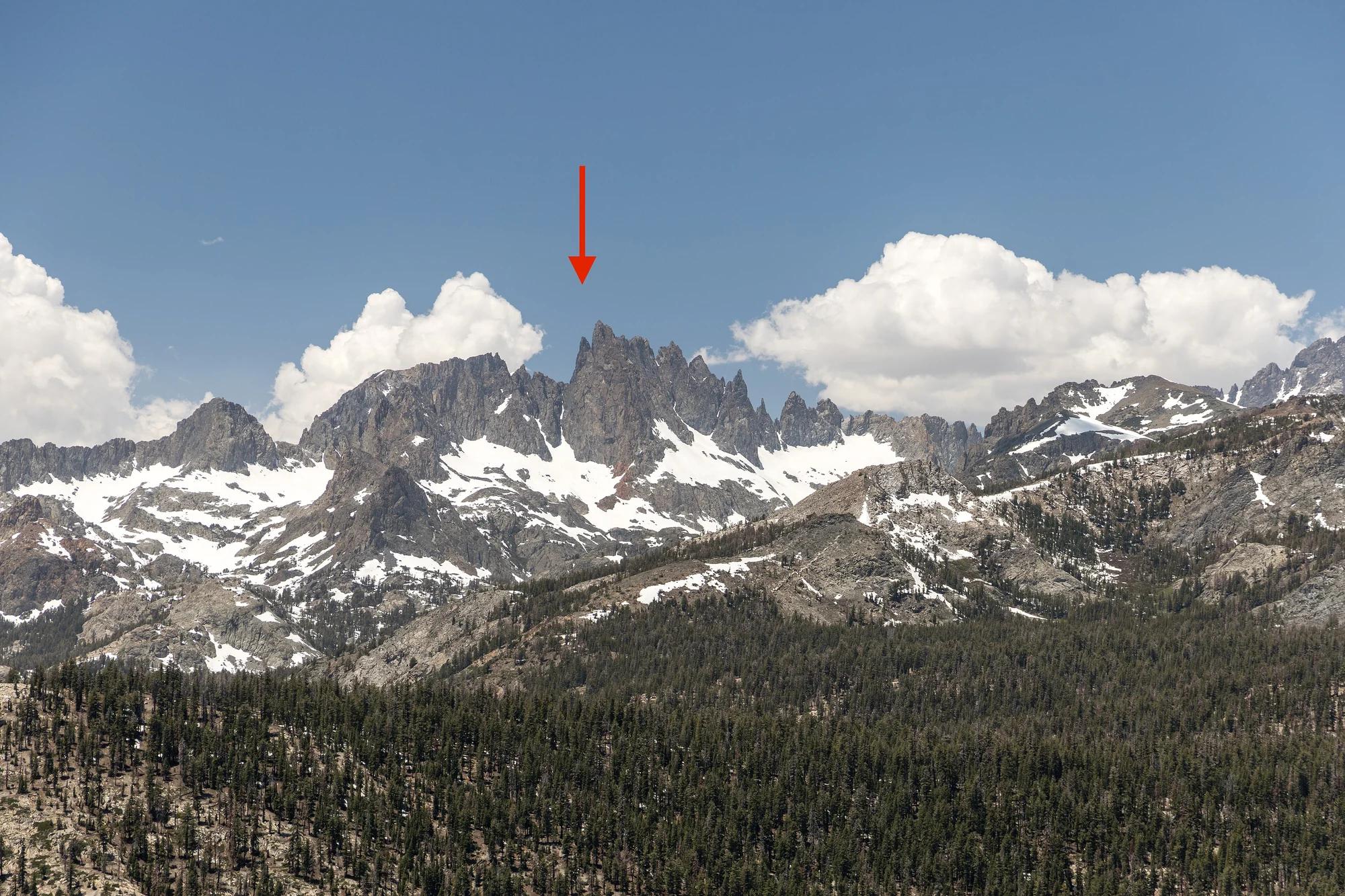
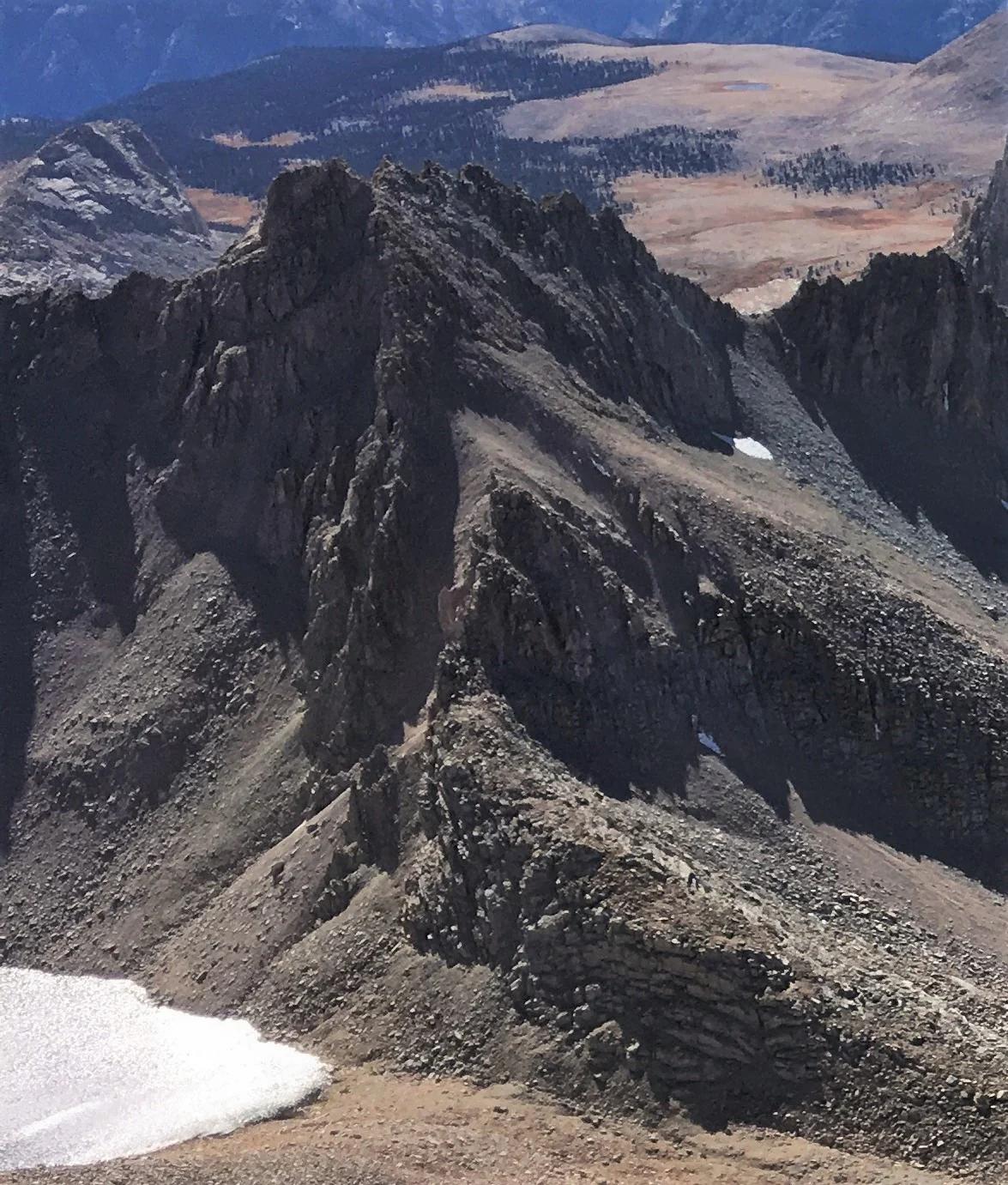
Mount Versteeg
Verified California peak at 13,474 ft in Sequoia and Kings Canyon National Parks (Eastern Sierra).
- Route
- 2.9 mi
- Climb
- 361 ft
Browse & Discover
Filter by activity, state, region, dog policy, or route effort — or use the interactive map below to find waterfalls, trails, beaches, bikeways, skateparks, and campgrounds near any location.
303 of 2,051 places
Drag to pan. Double-click, pinch or scroll to zoom. Keyboard: arrow keys and +/−. Cards below remain available.
Loading map… Browse the spot cards below at any time.

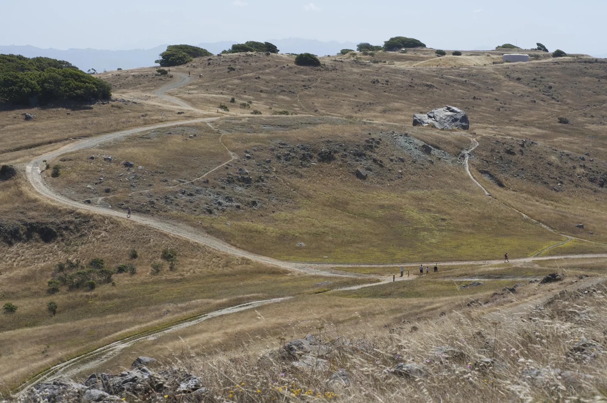
Russian Ridge Open Space Preserve
The highest named summit in San Mateo County, an open grassland top on Russian Ridge with views from the ocean to the Bay.
Justin Dolske from Cupertino, USA · CC BY-SA 2.0. Source & image licence

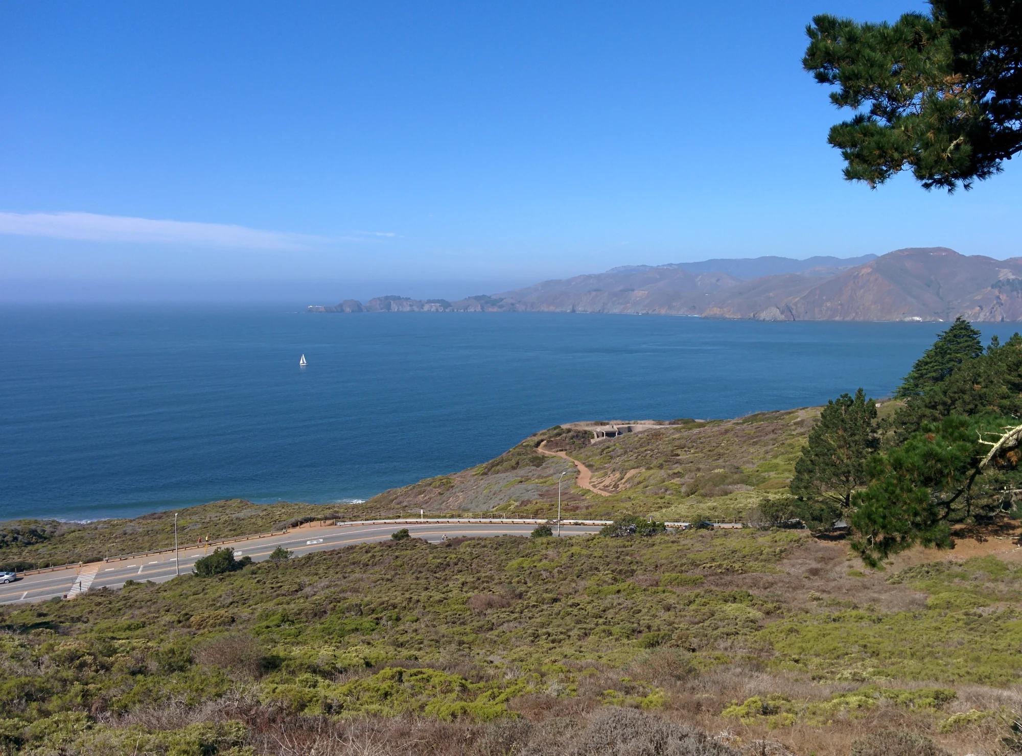
Mount Tamalpais State Park
The summit of Mount Tamalpais, a short plank-and-rock climb from the East Peak visitor area to the fire lookout above the whole Bay Area.
Chris Koerner from St. Louis, USA · CC BY-SA 2.0. Source & image licence

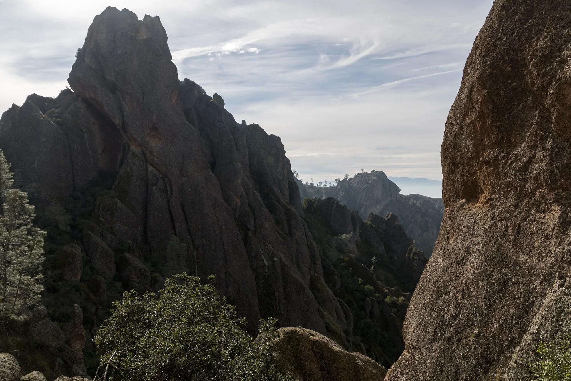
Santa Monica Mountains National Recreation Area
The highest point in the Santa Monica Mountains, climbed from the Mishe Mokwa trailhead along the Backbone Trail at Circle X Ranch.
Wasquewhat · CC BY-SA 4.0. Source & image licence
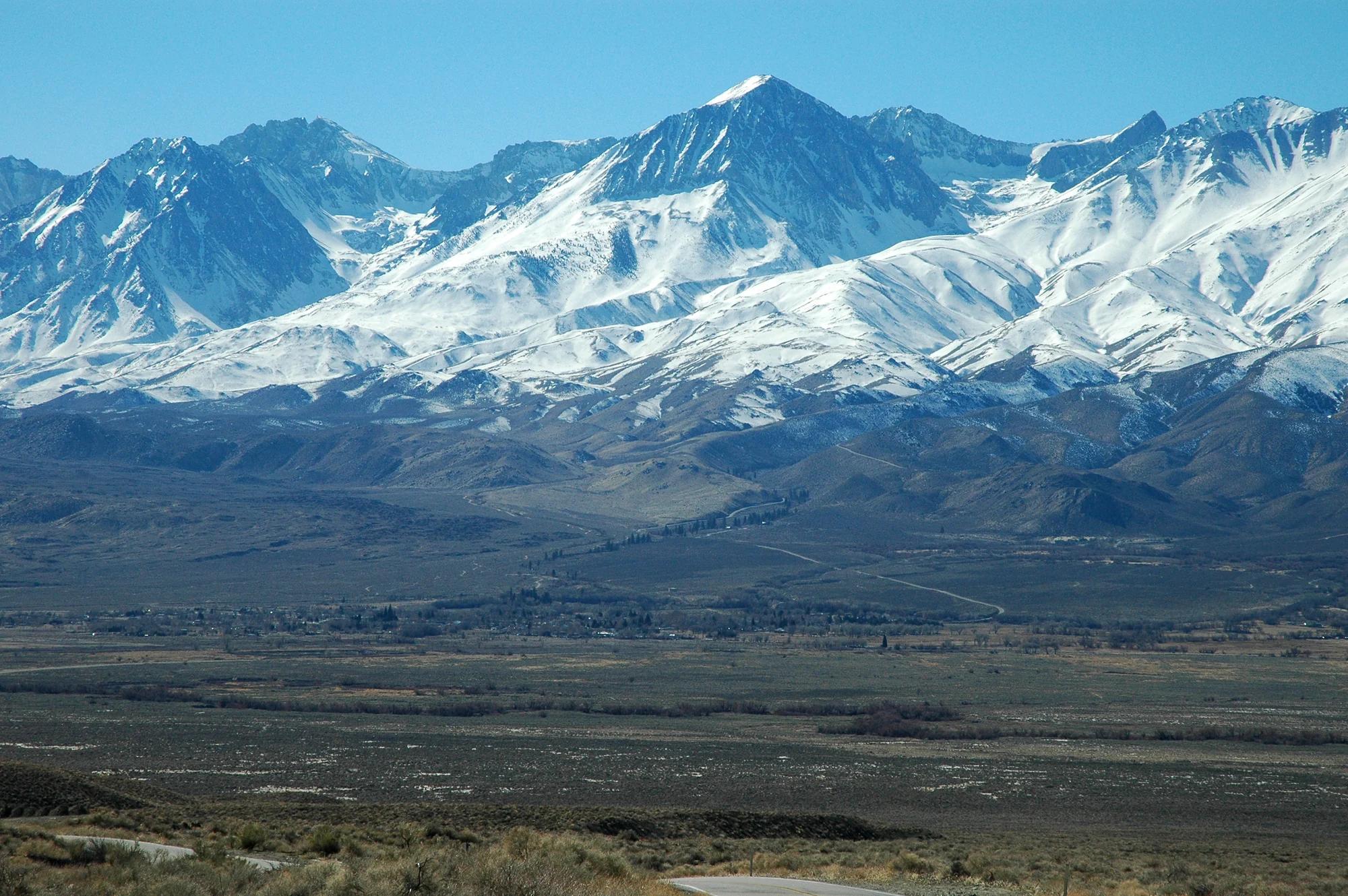
Los Padres National Forest · Central Coast
Verified California peak at 6,814 ft in Los Padres National Forest (Central Coast).
Photo: Clinton Steeds from Los Angeles, USA · CC BY 2.0
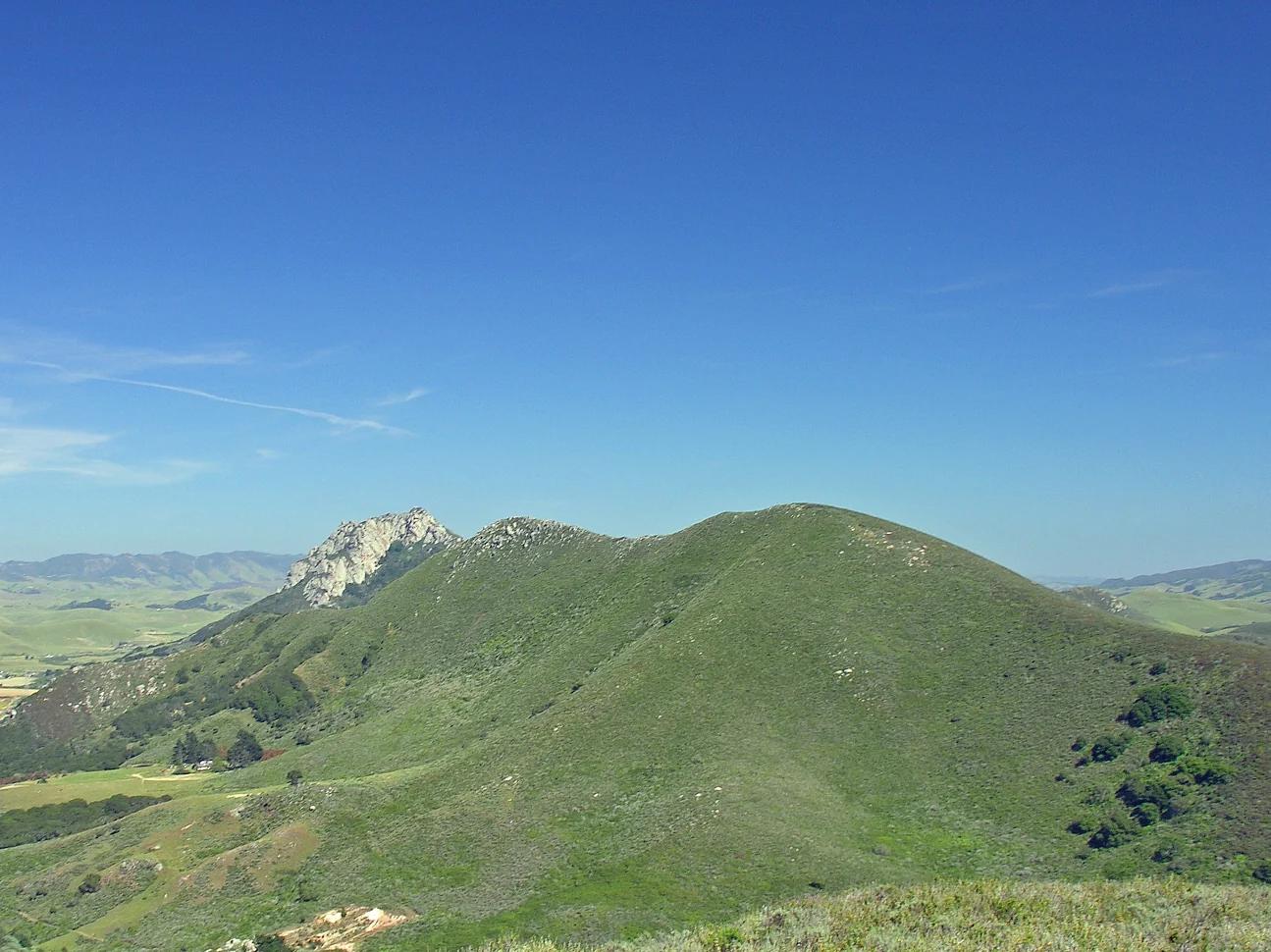
Central Coast
Verified California peak at 902 ft in Central Coast.
Photo: No machine-readable author provided. Kjkolb assumed (based on copyright claims). · CC BY 2.5
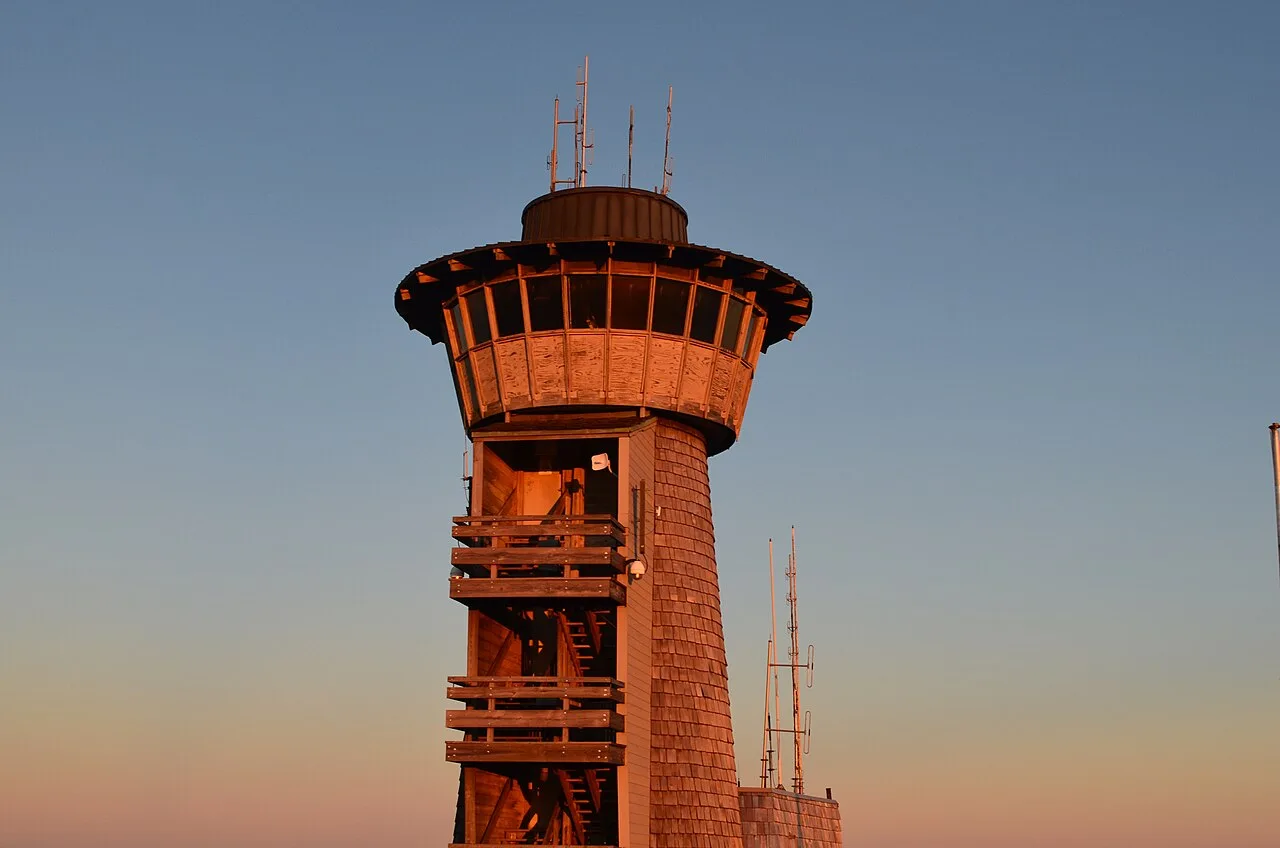
Chattahoochee-Oconee National Forest · Appalachian & Blue Ridge · Georgia
Highest natural point in Georgia (4,784 ft), where a steep stunted-oak and rhododendron trail climbs to a 360-degree four-state observation deck.
Photo: Anthony Rizzo · CC BY-SA 4.0
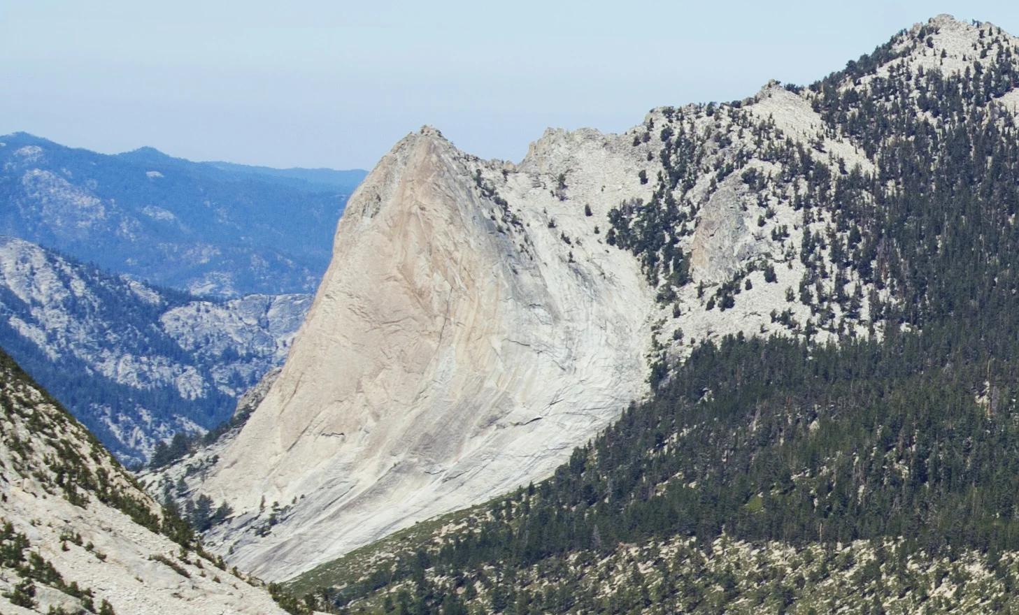
Sequoia and Kings Canyon National Parks · Yosemite & Central Sierra
Verified California peak at 10,664 ft in Sequoia and Kings Canyon National Parks (Yosemite & Central Sierra).
Photo: Original by Will Keightley (feverblue), cropped by user:Droll · CC BY-SA 2.0
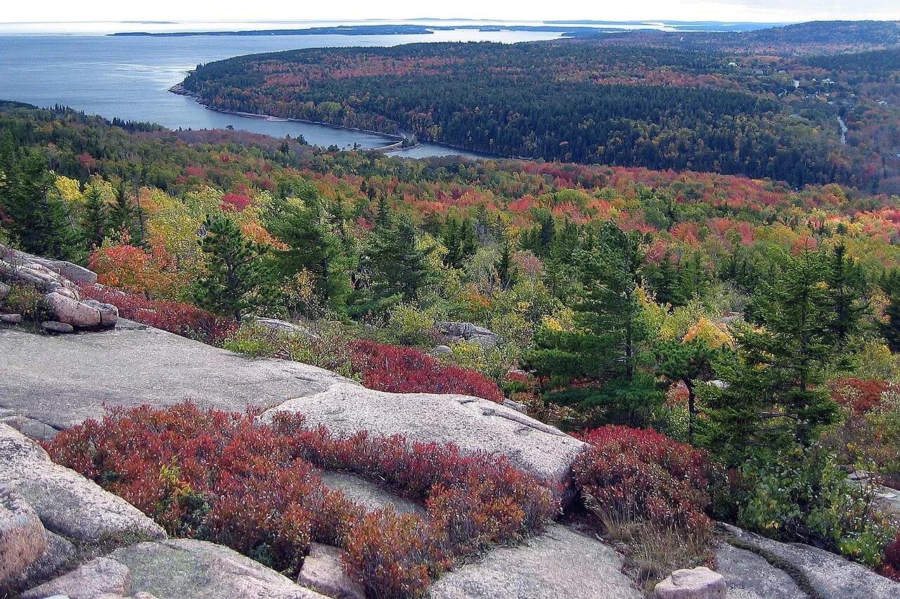
Acadia National Park · Downeast Maine · Maine
Granite ledges and prehistoric sea-caves carved during post-glacial rebound overlooking Sand Beach and the open Atlantic.
Photo: National Park Service / uncredited derivative work: User:Maps and stuff (crop... · Public domain
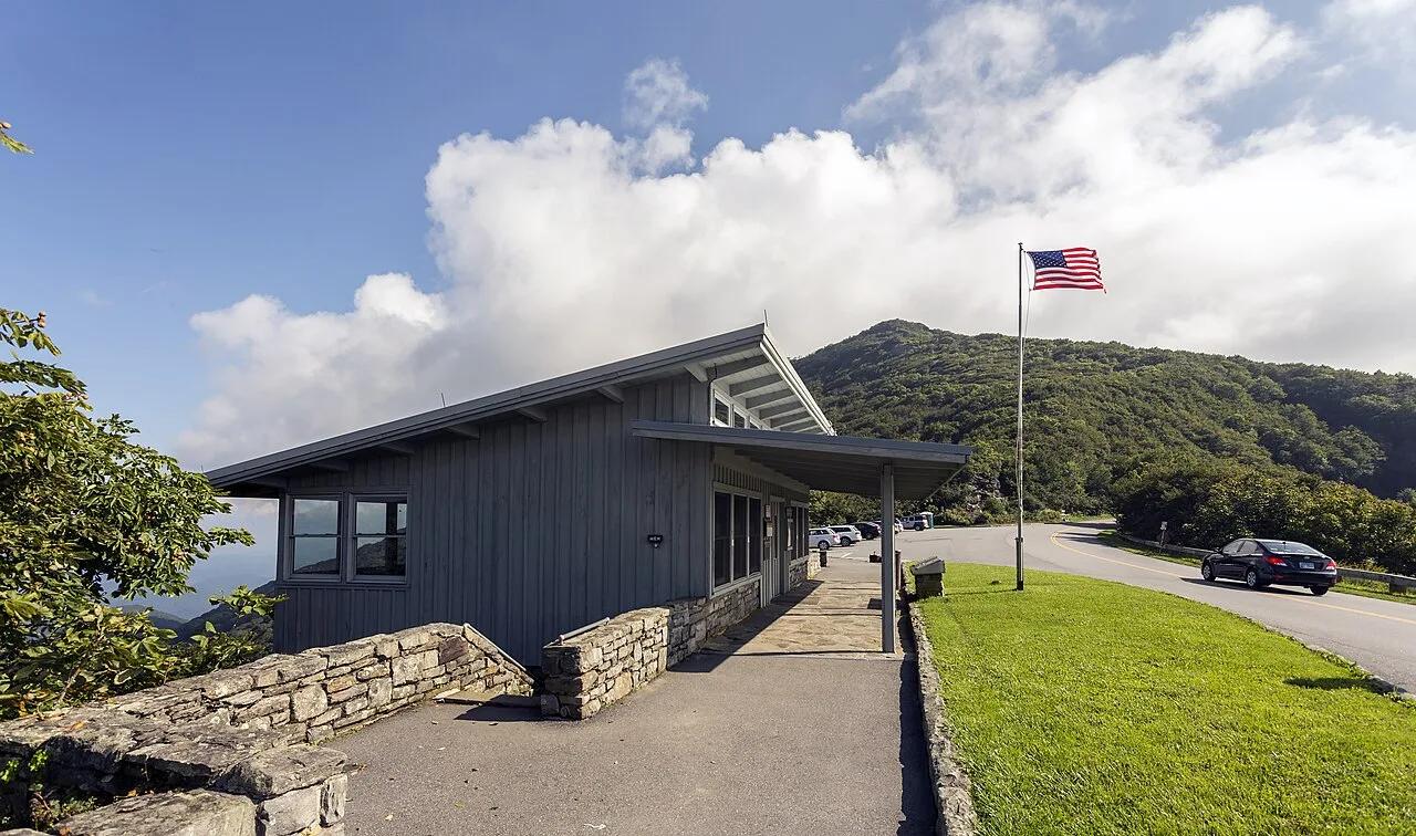
Blue Ridge Parkway (Milepost 364.1) · Appalachian & Blue Ridge · North Carolina
High-elevation crooked beech forest and purple Catawba rhododendron balds rising to a 360-degree stone observation platform at 5,892 feet.
Photo: Acroterion · CC BY-SA 4.0
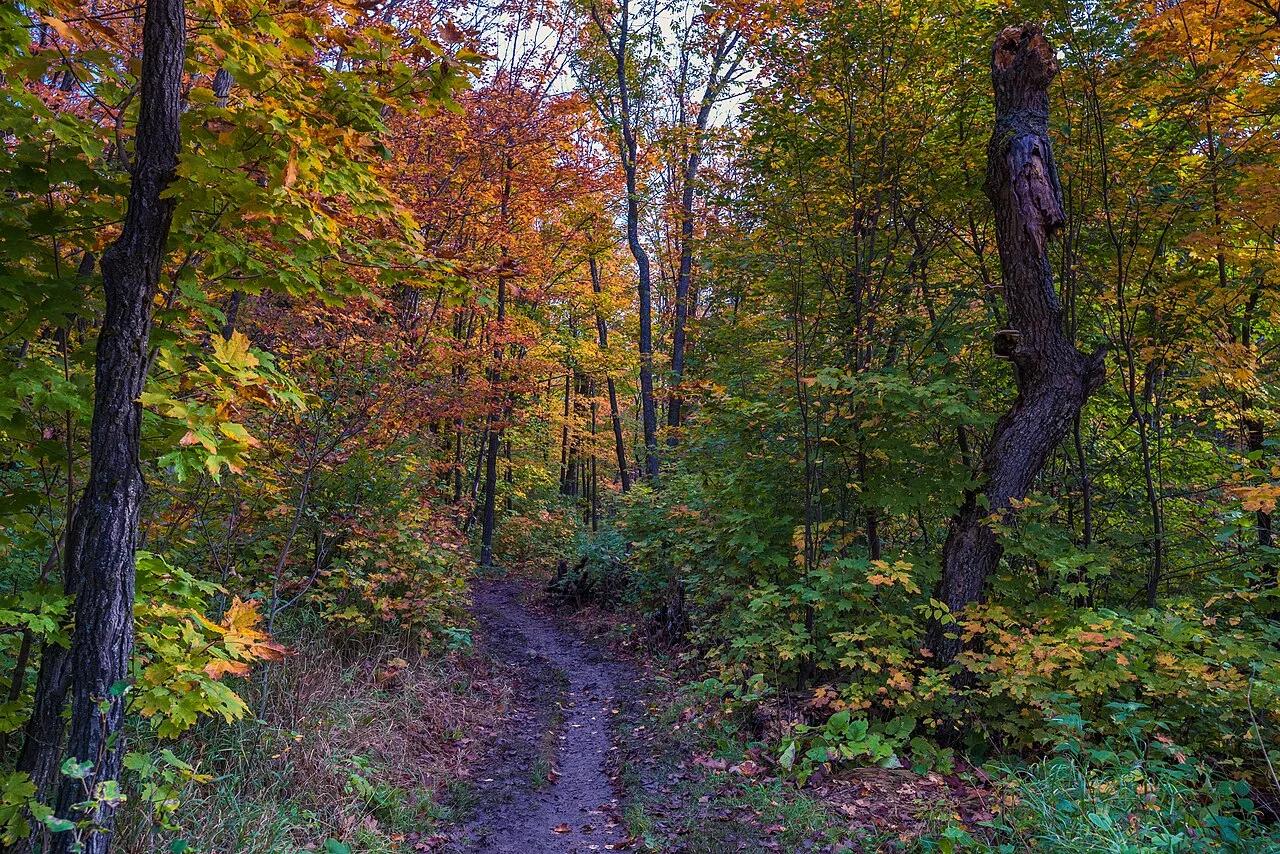
Superior National Forest (Superior Hiking Trail) · North Shore · Minnesota
Beloved 2-mile circuit atop an ancient volcanic gabbro knob delivering 360-degree vistas of Lake Superior, Oberg Lake, and vivid boreal fall foliage.
Photo: Tony Webster from Minneapolis, Minnesota, United States · CC BY-SA 2.0
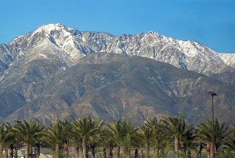
Angeles National Forest · San Gabriel Mountains
Verified California peak at 8,842 ft in Angeles National Forest (San Gabriel Mountains).
Photo: Cliff Hutson ; later cropping and color editing by Daniel Case . · CC BY 2.0
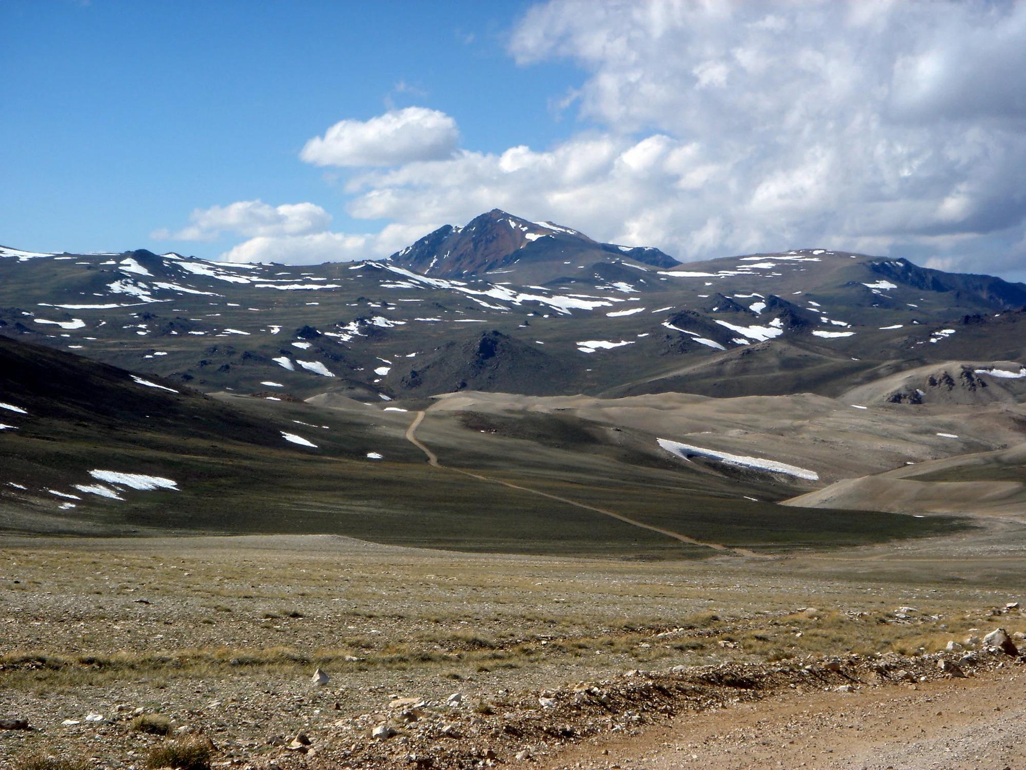
Eastern Sierra
Verified California peak at 14,252 ft in Eastern Sierra.
Photo: JonathanLamb ( talk · contribs ) · CC BY 3.0