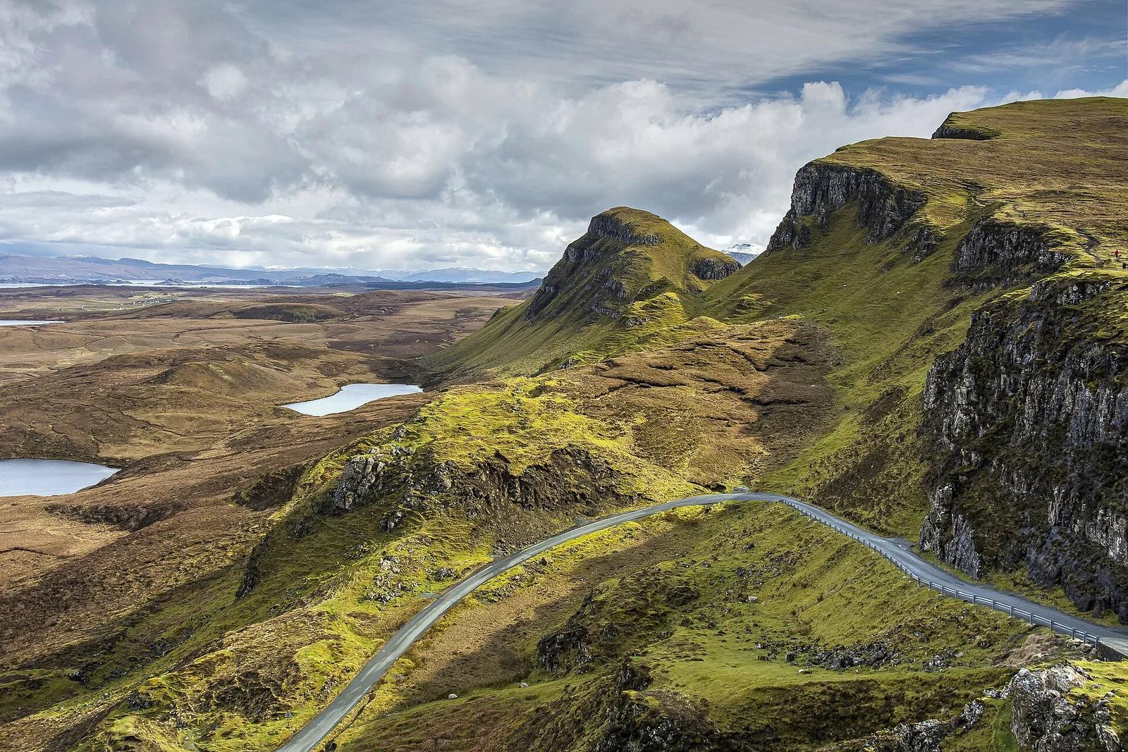
Trotternish Ridge, Isle of Skye · UK & Ireland · United Kingdom
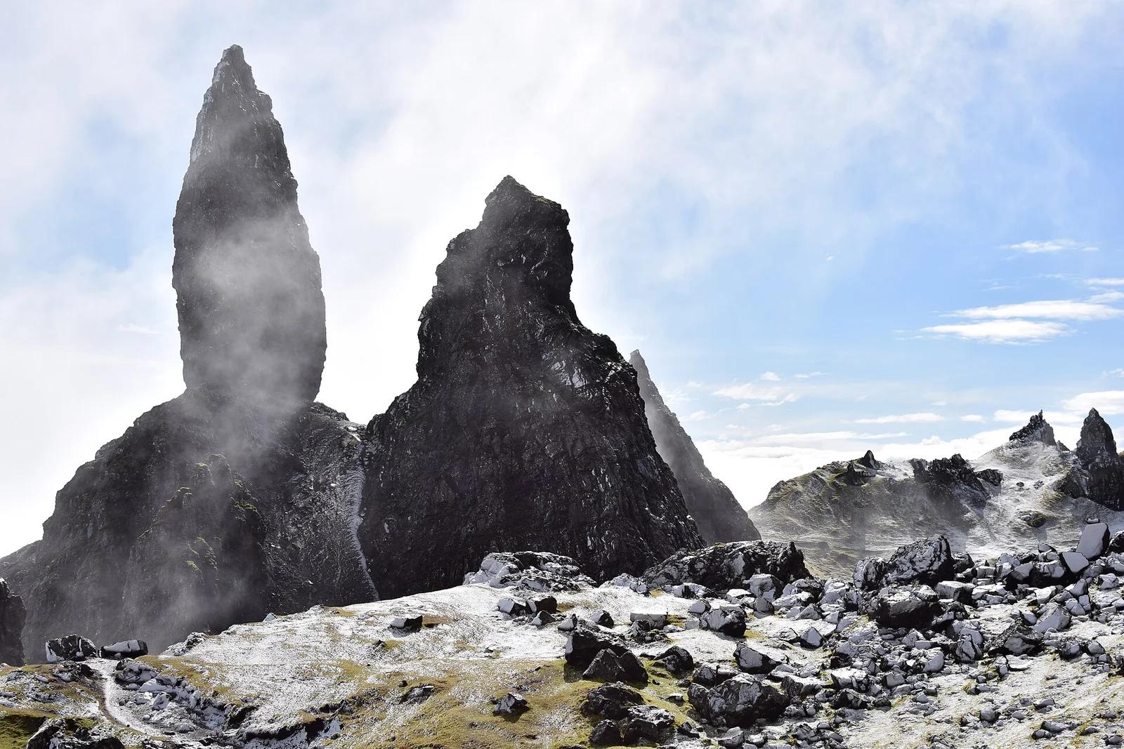
The Quiraing
Otherworldly landscape of cliffs, hidden plateaus ('The Table'), and spires ('The Needle') created by Britain's largest continuing landslip.
- Elevation
- 1,781 ft
Browse & Discover
Filter by activity, state, region, dog policy, or route effort — or use the interactive map below to find waterfalls, trails, beaches, bikeways, skateparks, and campgrounds near any location.
13 of 2,051 places
Drag to pan. Double-click, pinch or scroll to zoom. Keyboard: arrow keys and +/−. Cards below remain available.
Loading map… Browse the spot cards below at any time.

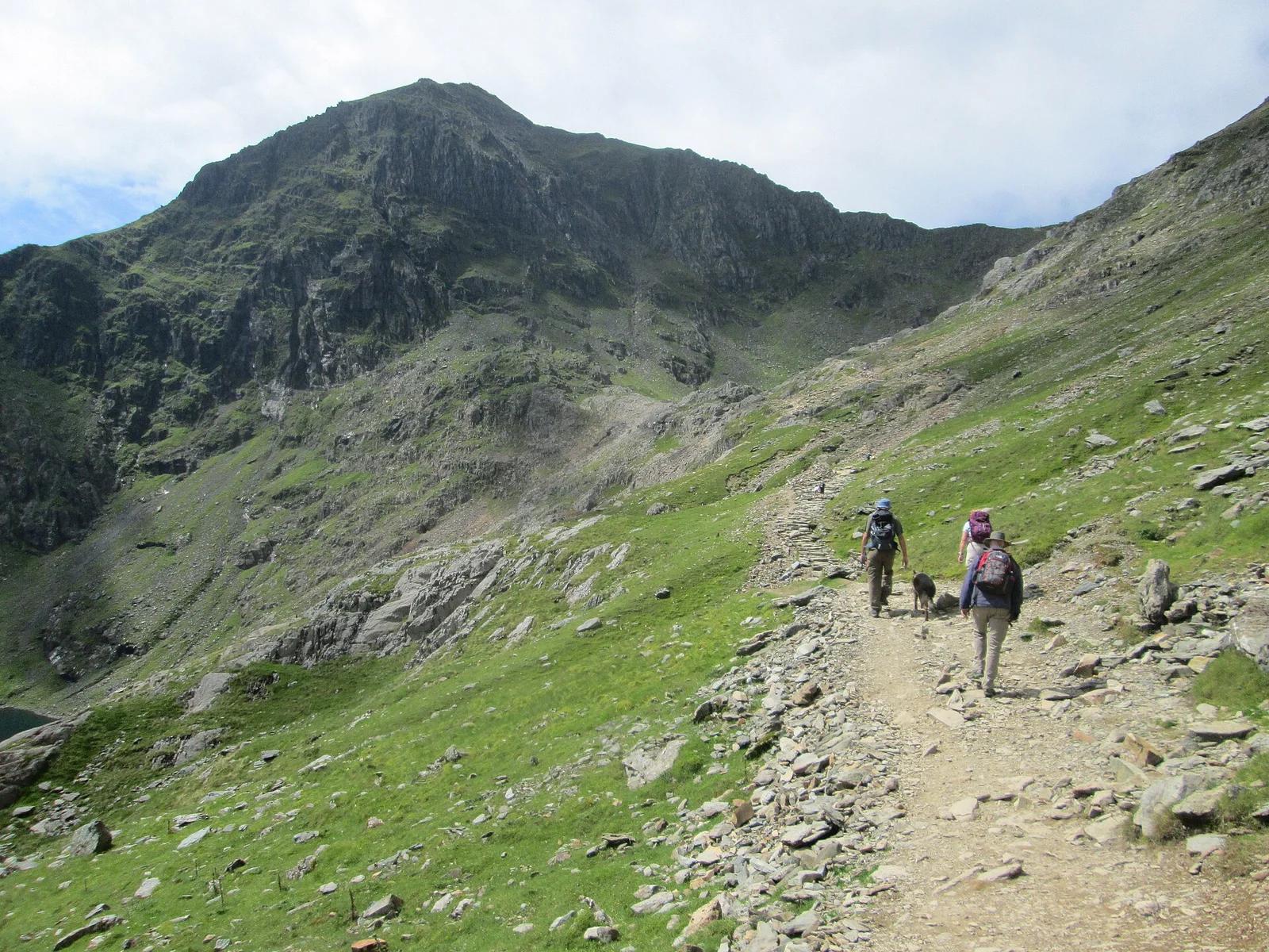
Eryri / Snowdonia National Park · UK & Ireland · United Kingdom
The crown of Wales and highest point in Eryri, ascending rugged rock ledges past Glaslyn and Llyn Llydaw with views toward the knife-edge of Crib Goch.
Photo: Peter S · CC BY-SA 2.0

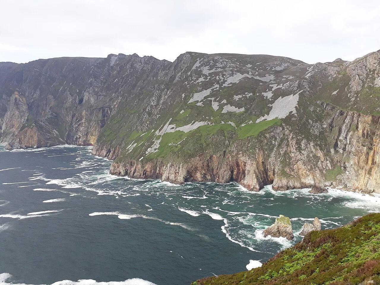
Burren and Cliffs of Moher UNESCO Geopark · UK & Ireland · Ireland
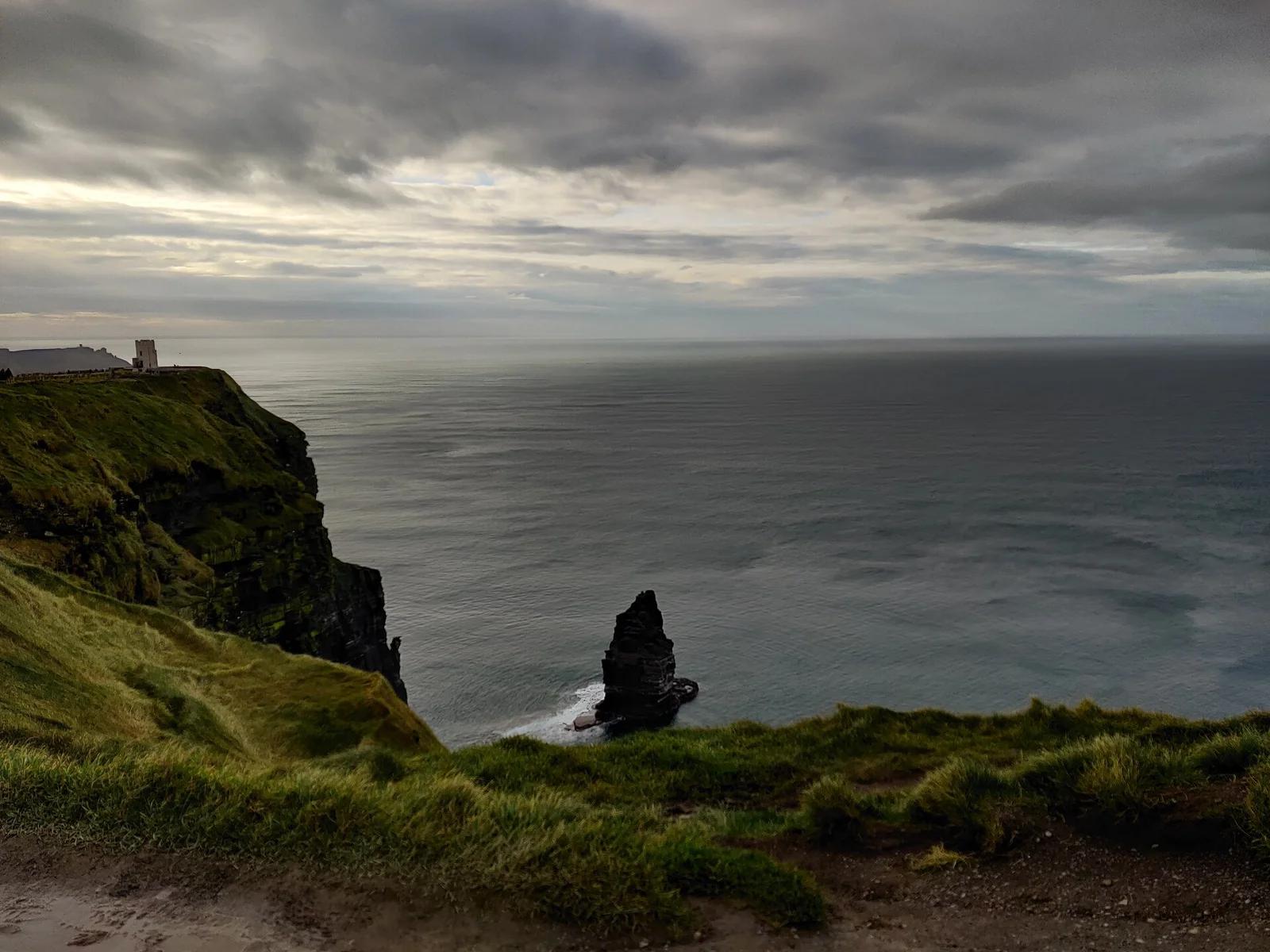
Towering dark shale and sandstone sea ramparts soaring 214 metres straight up from the churning Atlantic Ocean, looking out to the Aran Islands.
Photo: Domi2326 · CC BY-SA 4.0

Isle of Skye · UK & Ireland · United Kingdom
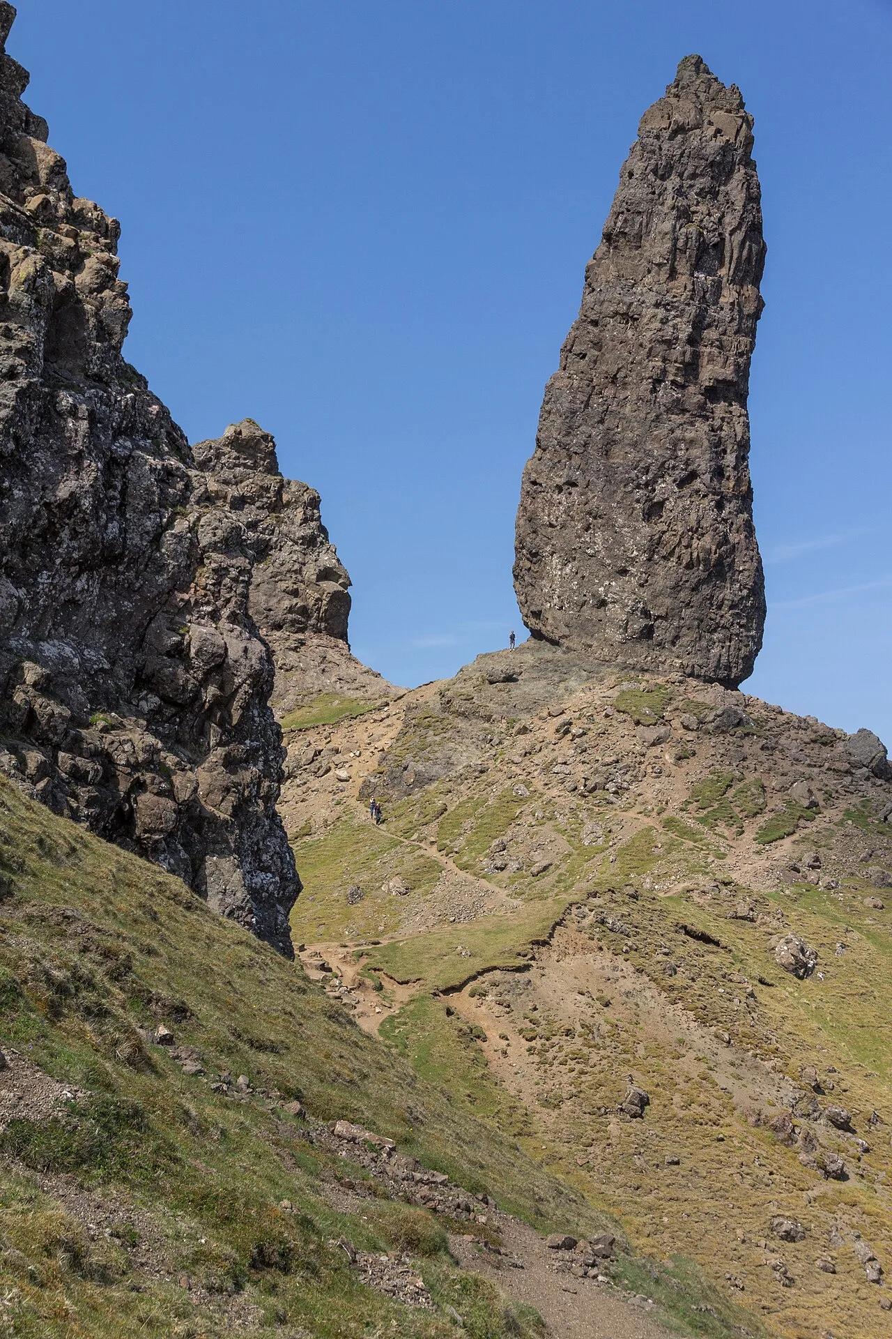
55-meter jagged basalt pinnacle standing sentinel on the ancient landslip amphitheater of the Trotternish Peninsula above the Sound of Raasay.
Photo: JoachimKohlerBremen · CC BY-SA 4.0

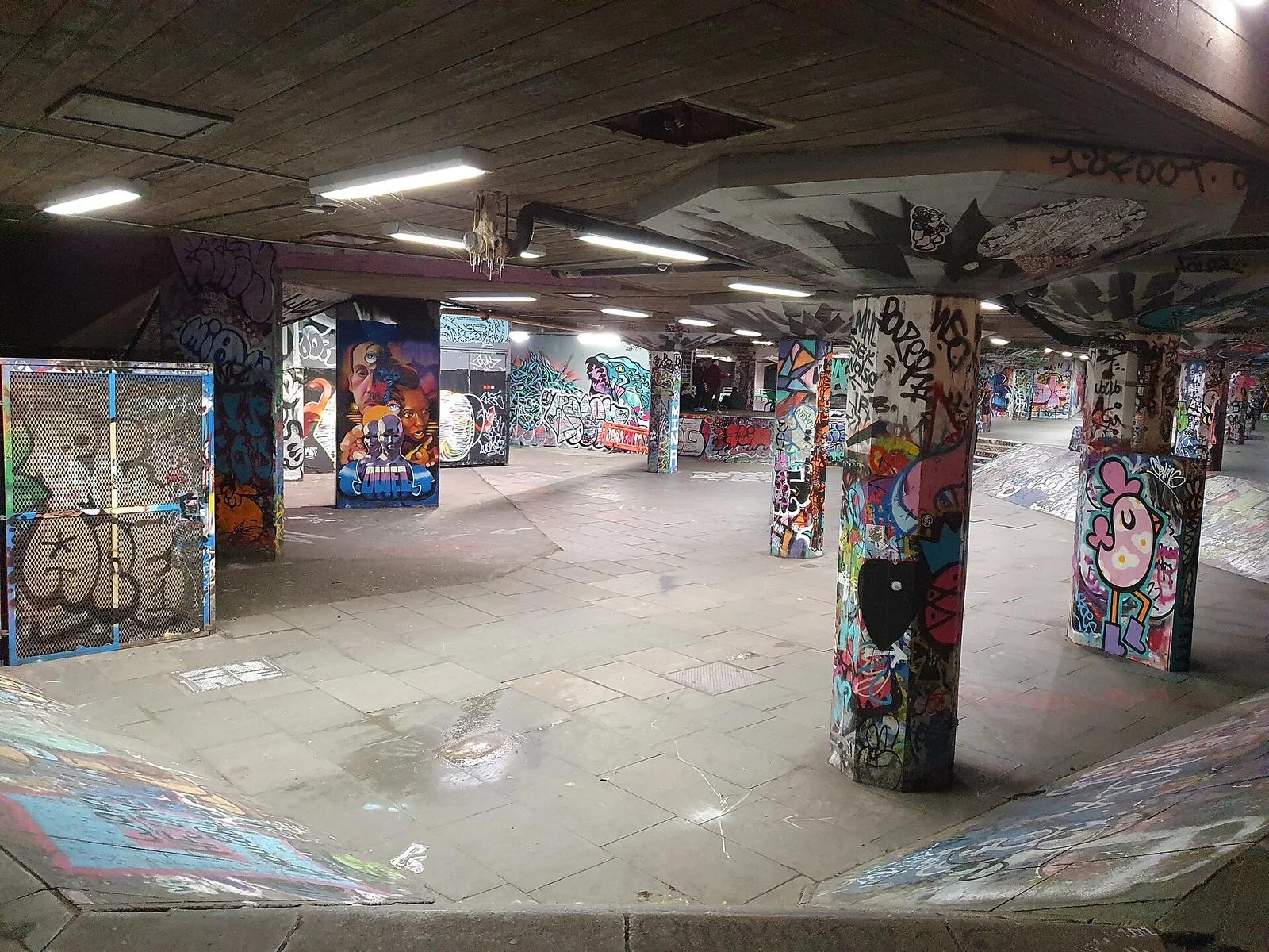
Southbank Centre Queen Elizabeth Hall · UK & Ireland · United Kingdom
The world's oldest continuously skated urban street spot, tucked under the brutalist concrete overhangs of the Southbank Centre beside the River Thames.
Photo: Gazamp · CC BY-SA 4.0

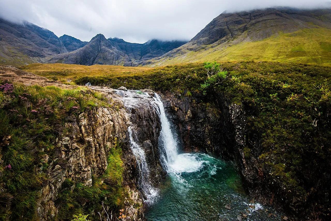
Glen Brittle (Black Cuillin Mountains) · UK & Ireland · United Kingdom
Crystal-clear blue and green cold-water waterfalls and natural rock pools fed by the River Brittle beneath the jagged Black Cuillin.
Photo: Wojtek Szkutnik · CC BY 3.0