Cheaha State Park / Talladega National Forest · South & Gulf Coast · Alabama
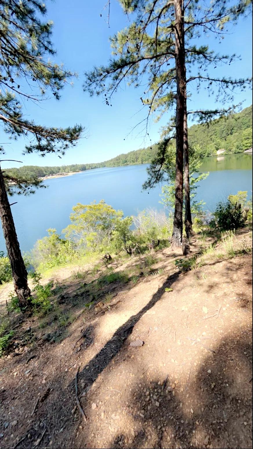
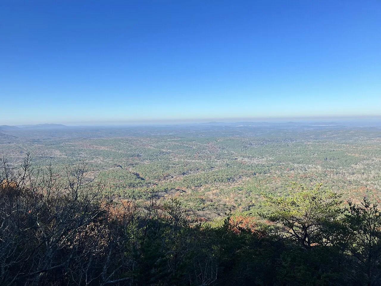
Mount Cheaha & Pulpit Rock Overlook
The highest point in Alabama—quartzite cliff ledges looking out across the unbroken Talladega National Forest.
- Route
- 1.4 mi
- Climb
- 213 ft
Browse & Discover
Filter by activity, state, region, dog policy, or route effort — or use the interactive map below to find waterfalls, trails, beaches, bikeways, skateparks, and campgrounds near any location.
6 of 2,051 places
Drag to pan. Double-click, pinch or scroll to zoom. Keyboard: arrow keys and +/−. Cards below remain available.
Loading map… Browse the spot cards below at any time.

Oak Mountain State Park (Pelham) · Appalachian & Blue Ridge · Alabama
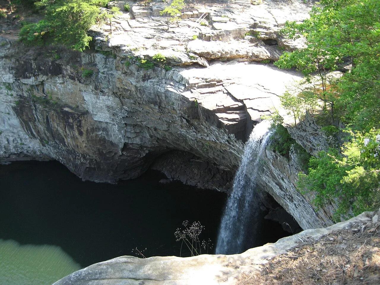
Spring-fed 65-foot sandstone waterfall and high Double Oak Mountain cliff overlook in Alabama's largest state park, paired with IMBA Red Trail singletrack.
Photo: Ghyoungb01 · Public domain

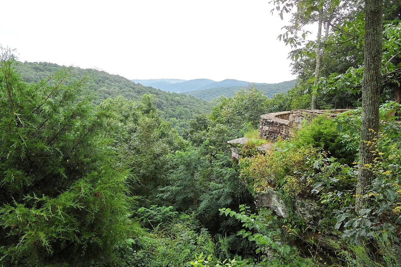
Monte Sano State Park (Huntsville) · Appalachian & Blue Ridge · Alabama
Towering limestone passageways, natural rock arches, and sunken karst caverns on the forested plateau overlooking Huntsville.
Photo: AquilaMMXI · CC BY-SA 4.0

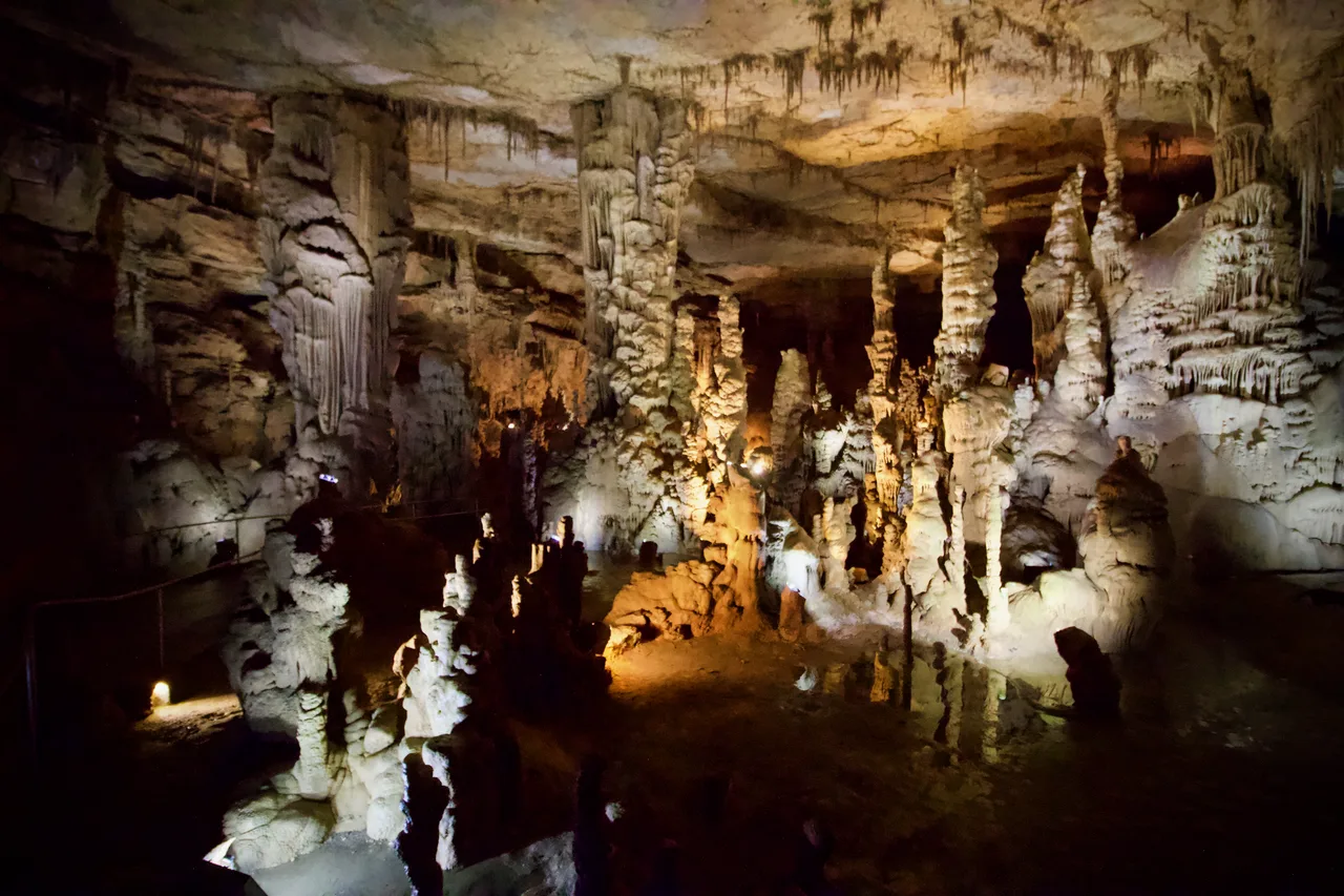
Cathedral Caverns State Park (Woodville) · Appalachian & Blue Ridge · Alabama
Massive 126-foot-wide, 25-foot-high cavern entrance opening into a subterranean limestone canyon housing a 45-foot stalagmite and underground waterfall.
Photo: Diegoandrade · CC BY-SA 4.0

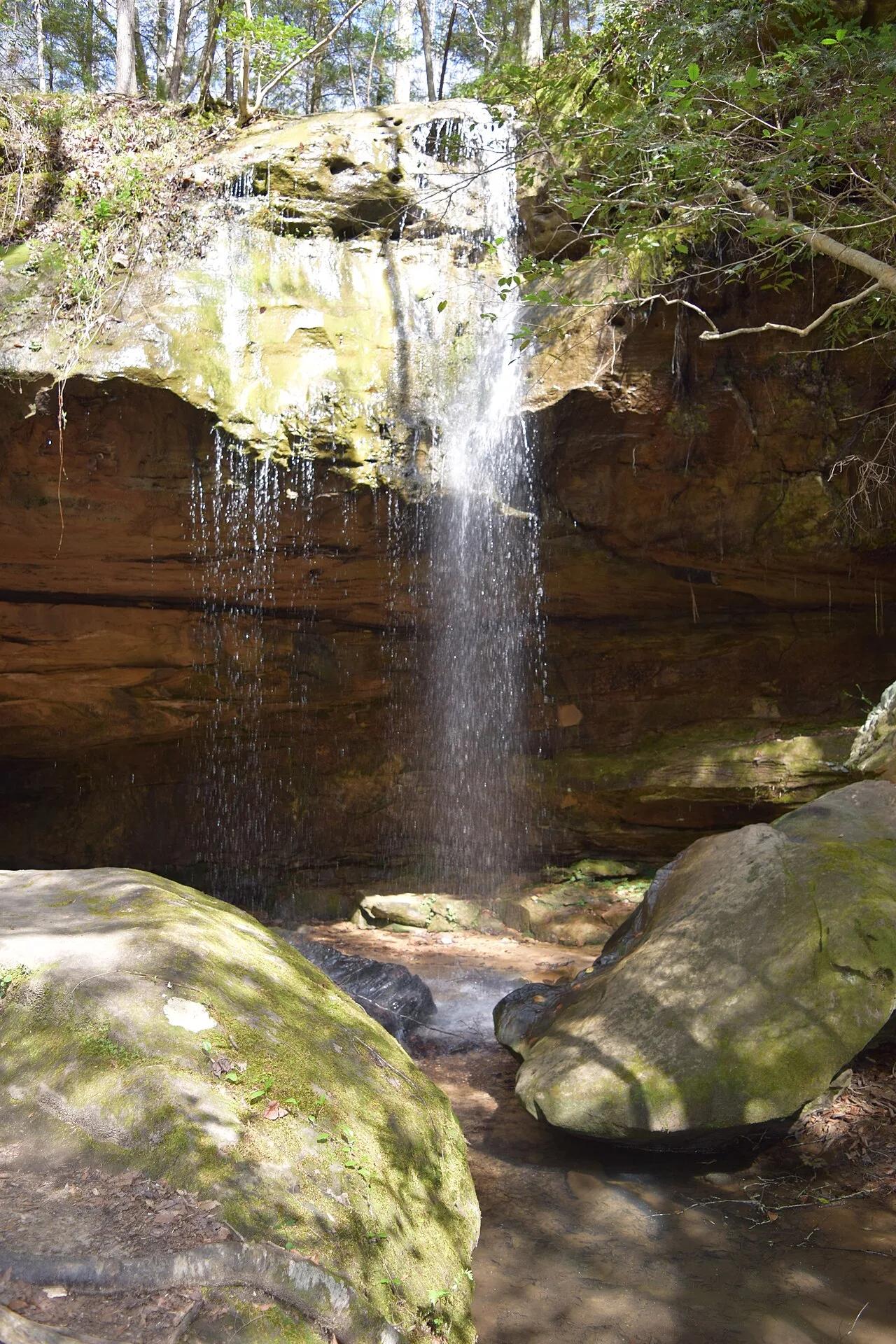
Bankhead National Forest (Land of 1,000 Waterfalls) · Appalachian & Blue Ridge · Alabama
Spring-fed curved sandstone amphitheater waterfall hidden inside the mossy hemlock box canyons of the Sipsey Wilderness.
Photo: Fredlyfish4 · CC BY-SA 4.0