Willamette National Forest · Pacific Northwest · Oregon
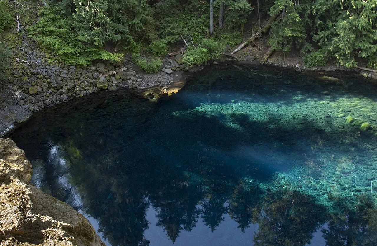
Tamolitch Blue Pool (McKenzie River)
Neon topaz-blue spring basin where the underground McKenzie River resurfaces through porous basalt lava fields.
- Route
- 4.2 mi
- Climb
- 312 ft
Browse & Discover
Filter by activity, state, region, dog policy, or route effort — or use the interactive map below to find waterfalls, trails, beaches, bikeways, skateparks, and campgrounds near any location.
284 of 2,051 places
Drag to pan. Double-click, pinch or scroll to zoom. Keyboard: arrow keys and +/−. Cards below remain available.
Loading map… Browse the spot cards below at any time.

Willamette National Forest · Pacific Northwest · Oregon
Neon topaz-blue spring basin where the underground McKenzie River resurfaces through porous basalt lava fields.
Photo: Bonnie Moreland from Oregon, United States · Public domain

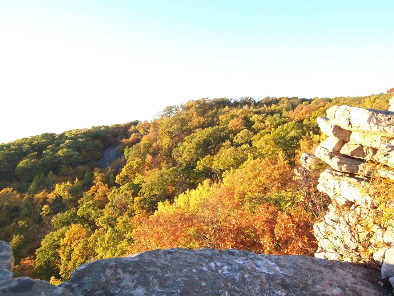
South Mountain State Park / Appalachian Trail · Western Maryland · Maryland
A dramatic 1,700-foot quartzite cliff platform on South Mountain overlooking Greenbrier Lake and the sprawling Cumberland Valley.
Photo: Flickr user: Bob Carney McHenry (Maryland) https://www.flickr.com/people/gotbob/ · CC BY 2.0

Appalachian Trail / Mount Riga State Park · Litchfield Hills / Northwest CT · Connecticut
Connecticut's highest mountain summit at 2,316 feet topped by a stone pyramid cairn looking out across New York and Massachusetts.
Photo: Zeete · CC BY-SA 4.0

Pyrénées National Park (UNESCO World Heritage) · Mediterranean Europe · France
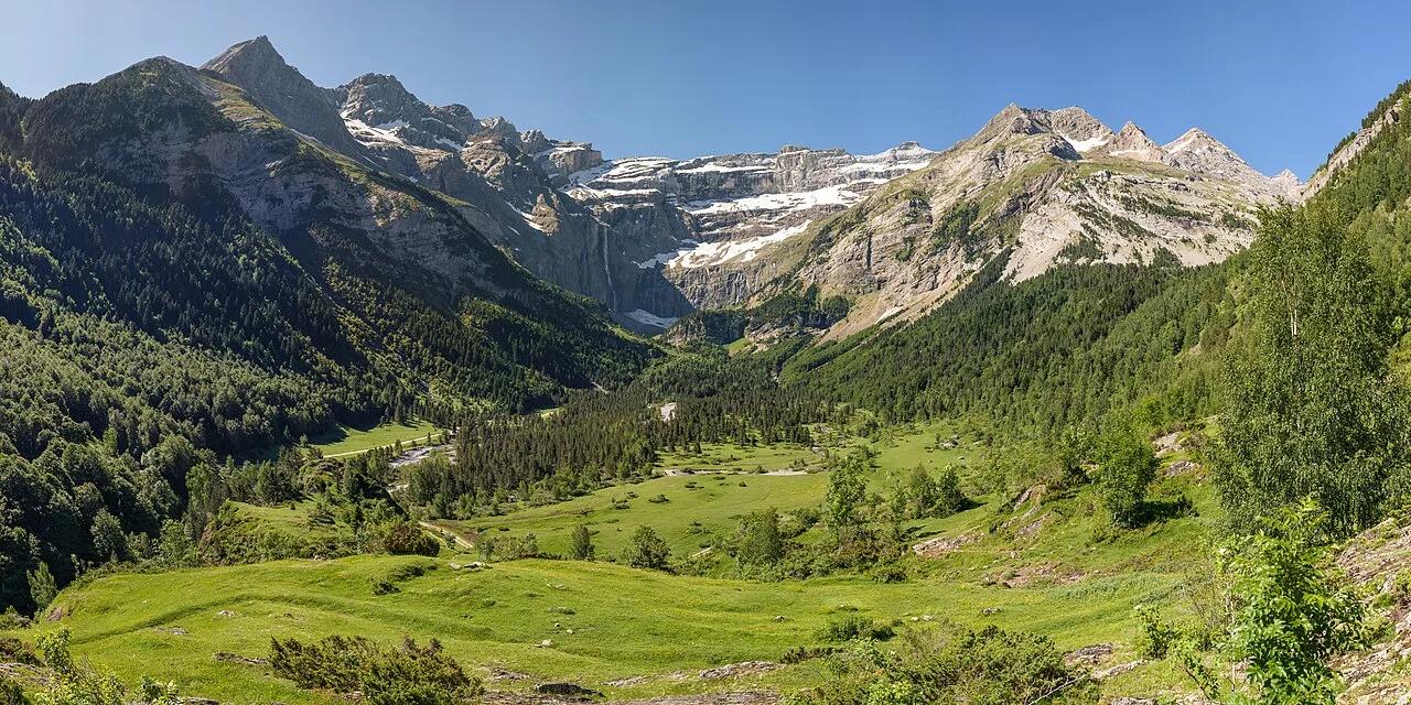
Monumental 1,500-meter limestone amphitheater crowned by the 422-meter Grande Cascade, highest waterfall in mainland France.
Photo: Benh LIEU SONG · CC BY-SA 2.0

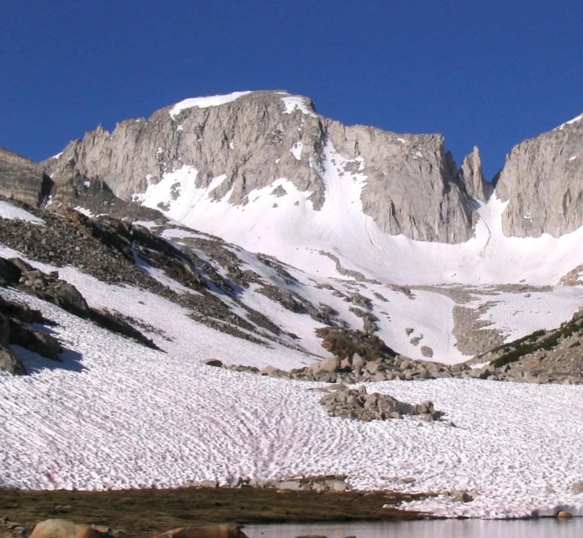
Shasta-Trinity National Forest · Shasta & Trinity
Verified California peak at 8,944 ft in Shasta-Trinity National Forest (Shasta & Trinity).
Photo: Jeffrey Pang from Jersey City, NJ, USA · CC BY 2.0

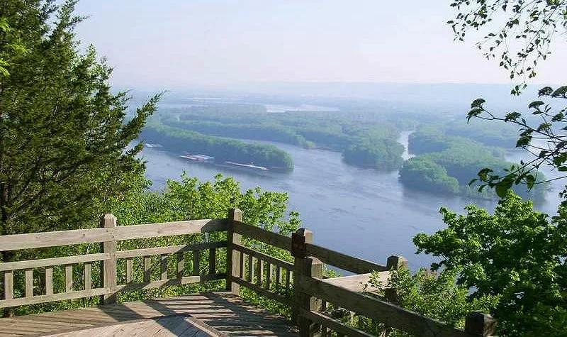
Pikes Peak State Park (McGregor) · Driftless Area · Iowa
Soaring 500-foot dolomite bluff delivering magnificent panoramas of the Wisconsin and Mississippi River confluence, paired with Bridal Veil Falls boardwalk.
Photo: McGhiever · CC BY-SA 3.0

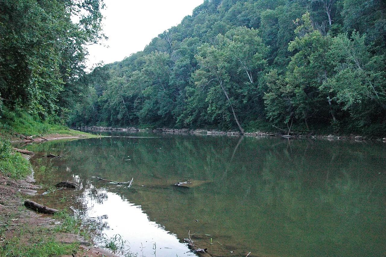
Mammoth Cave National Park · Appalachian & Blue Ridge · Kentucky
300-foot-deep collapsed karst sinkhole where an underground river surfaces briefly between limestone cliffs before vanishing back into the earth.
Photo: James St. John · CC BY 2.0

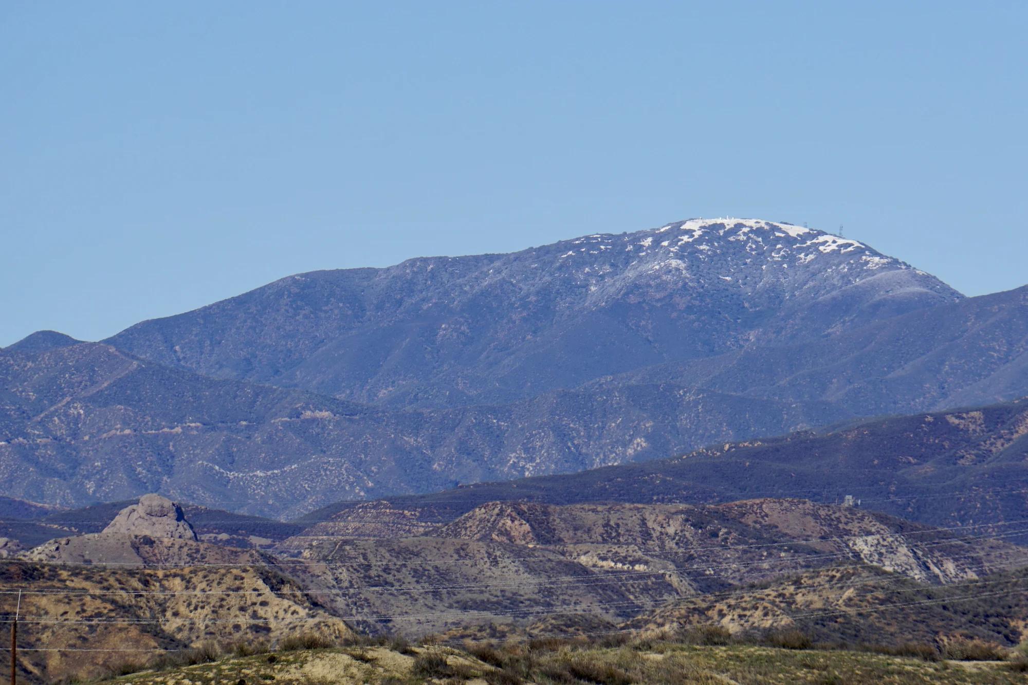
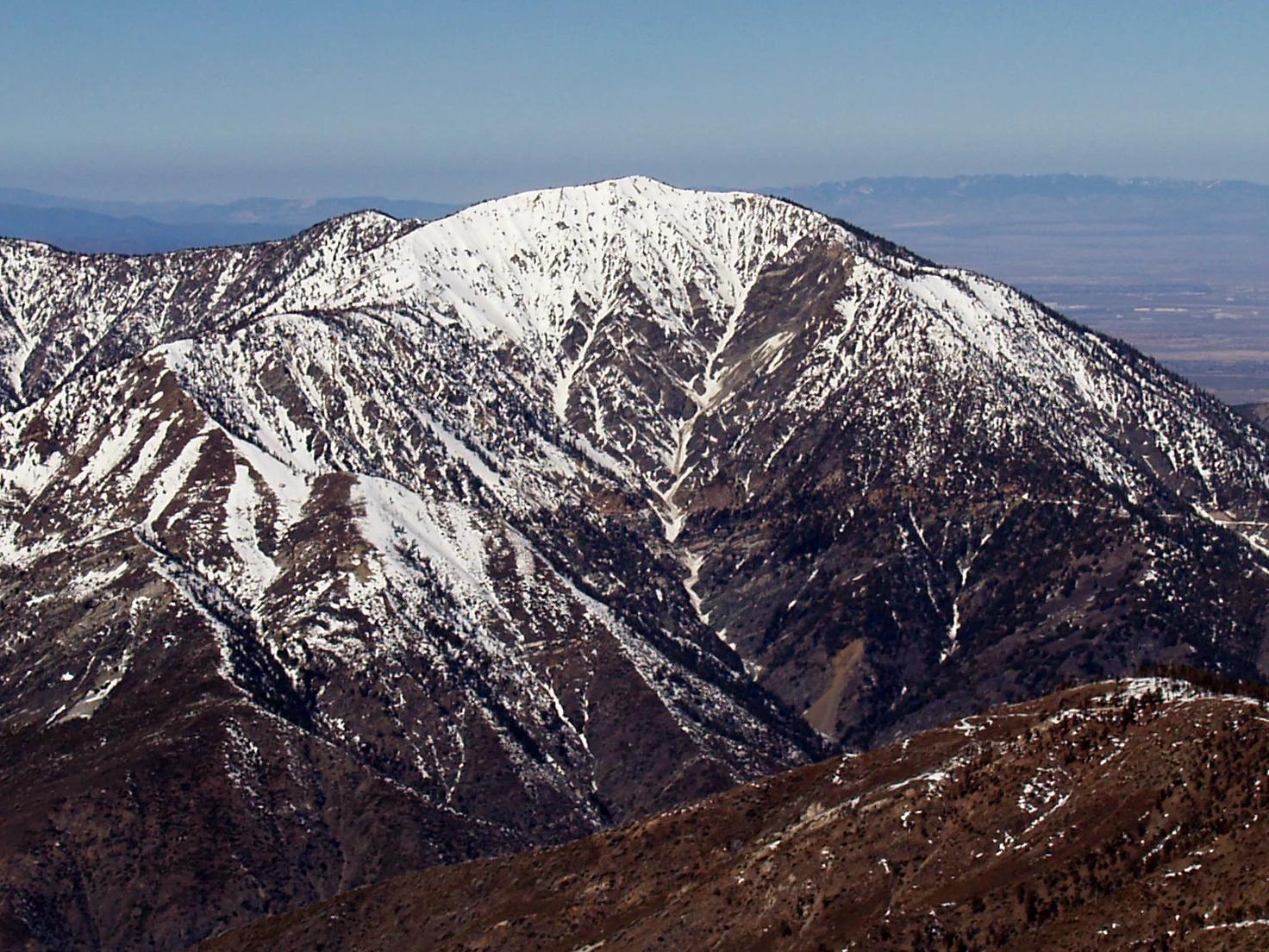
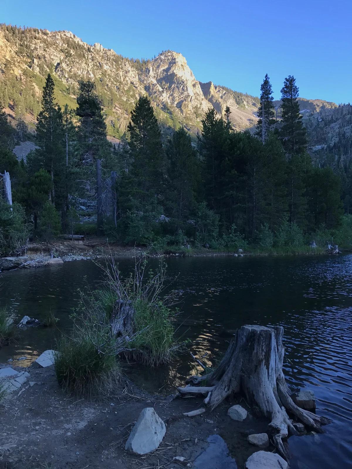
Angeles National Forest · San Gabriel Mountains
Verified California peak at 9,383 ft in Angeles National Forest (San Gabriel Mountains). Linked to PCT - California Section D.
Photo: The original uploader was Jakerome at English Wikipedia ./ Simonov · CC BY-SA 2.0

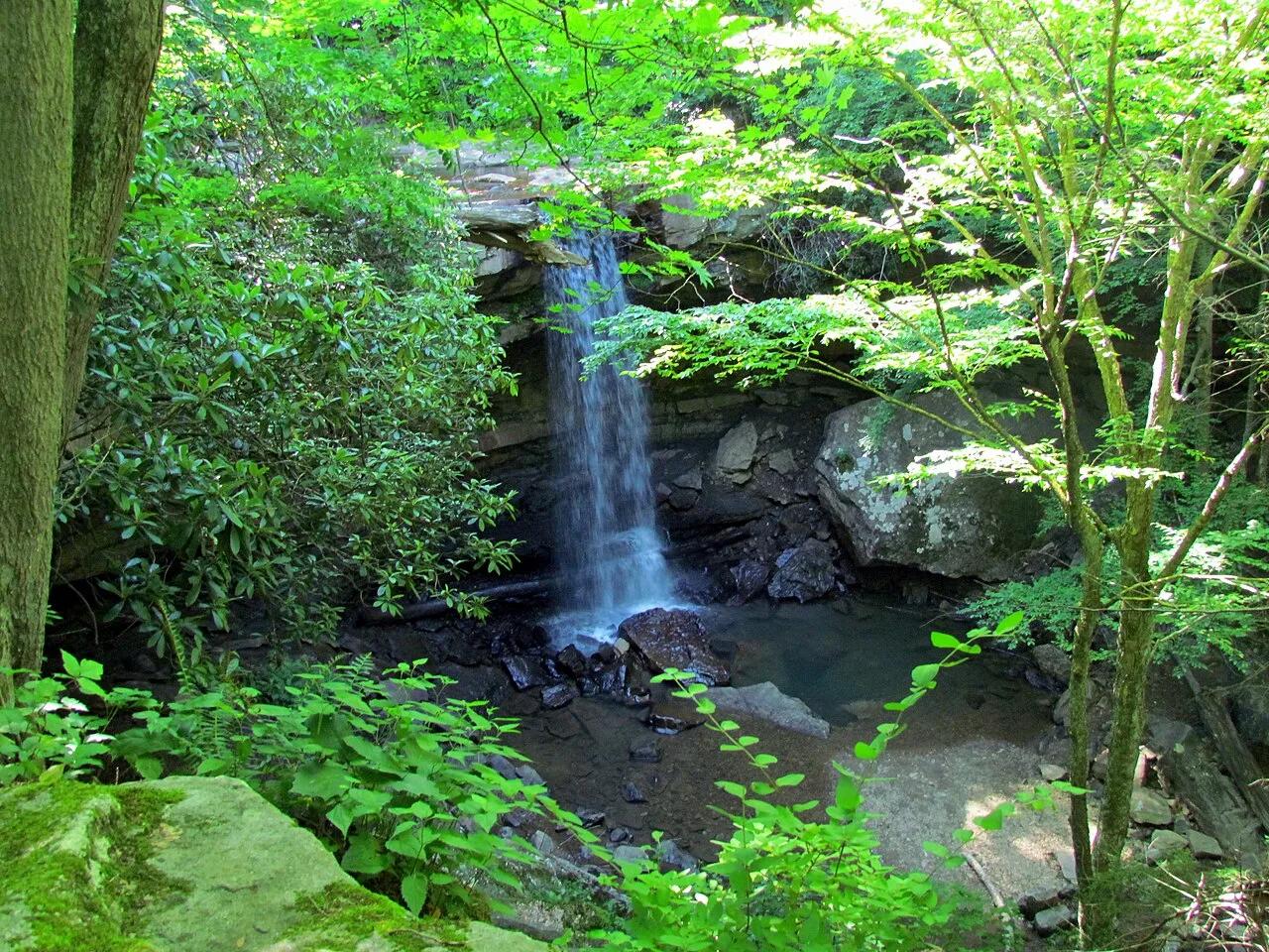
Ohiopyle State Park (Laurel Highlands) · Northeast & New England · Pennsylvania
30-foot bridal-veil waterfall you can walk behind, alongside Youghiogheny River whitewater and the Great Allegheny Passage bike trail.
Photo: bobistraveling · CC BY 2.0

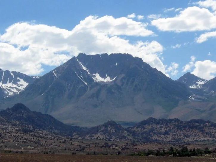
Six Rivers National Forest · Redwood & North Coast
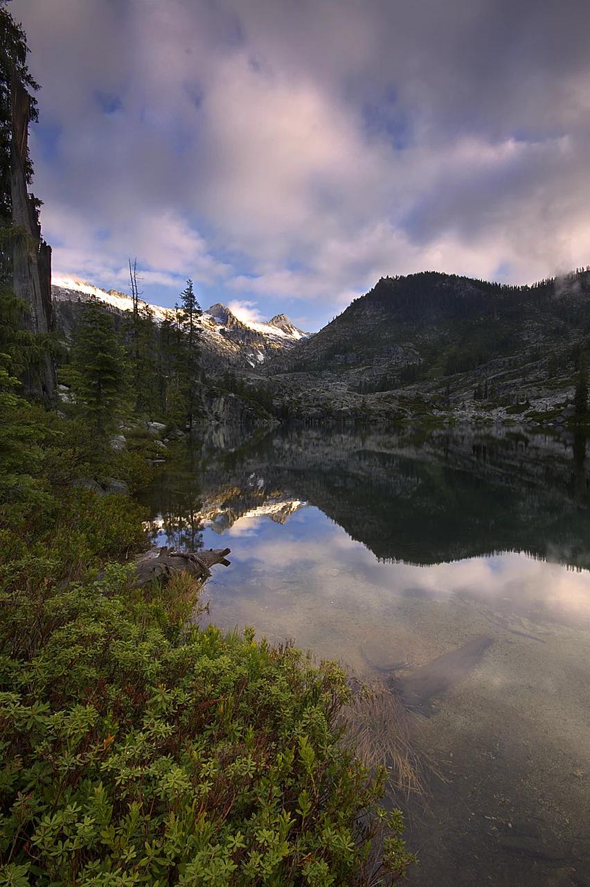
Verified California peak at 6,407 ft in Six Rivers National Forest (Redwood & North Coast).
Photo: Miguel Vieira from Walnut Creek, CA, USA · CC BY 2.0