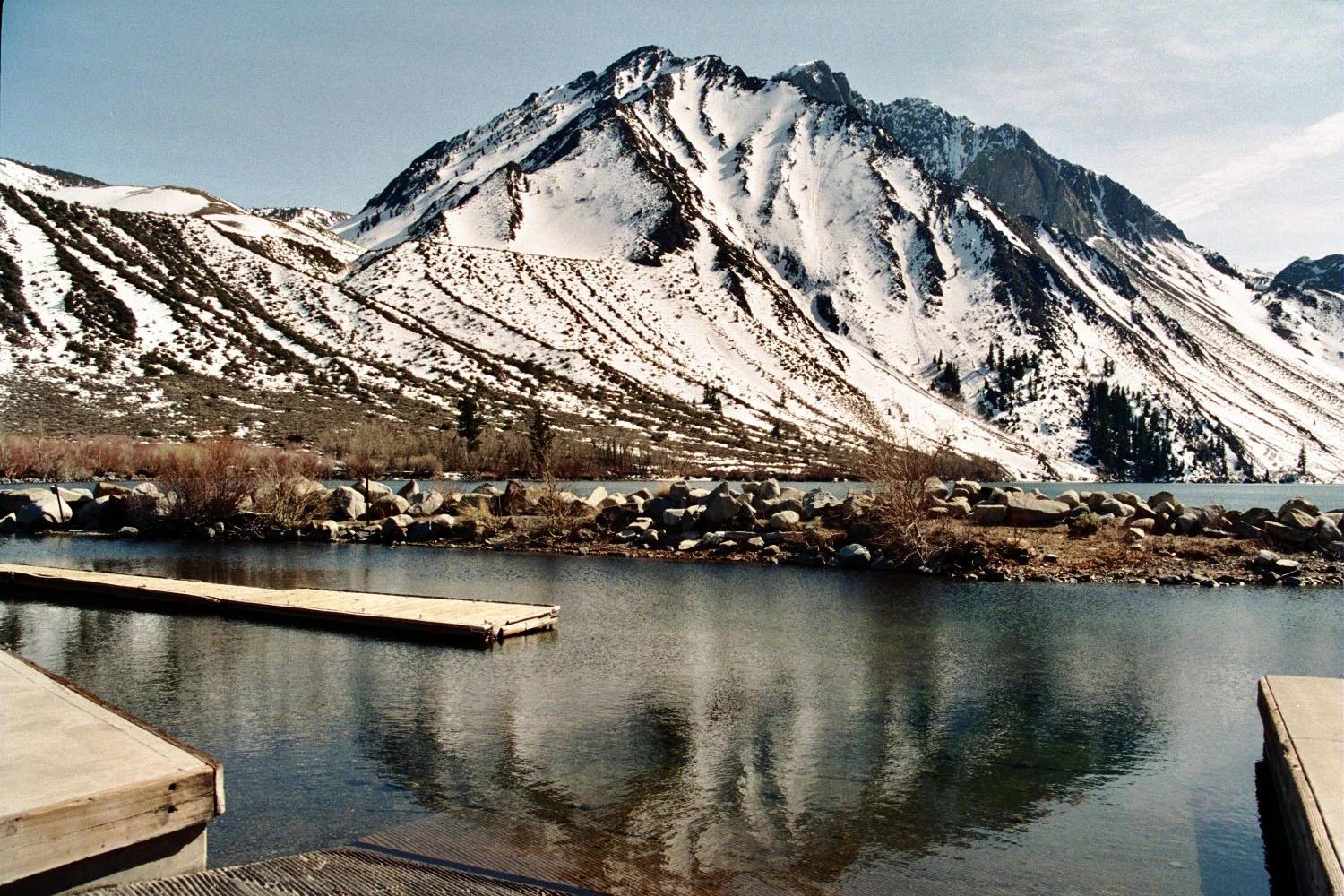
Peak
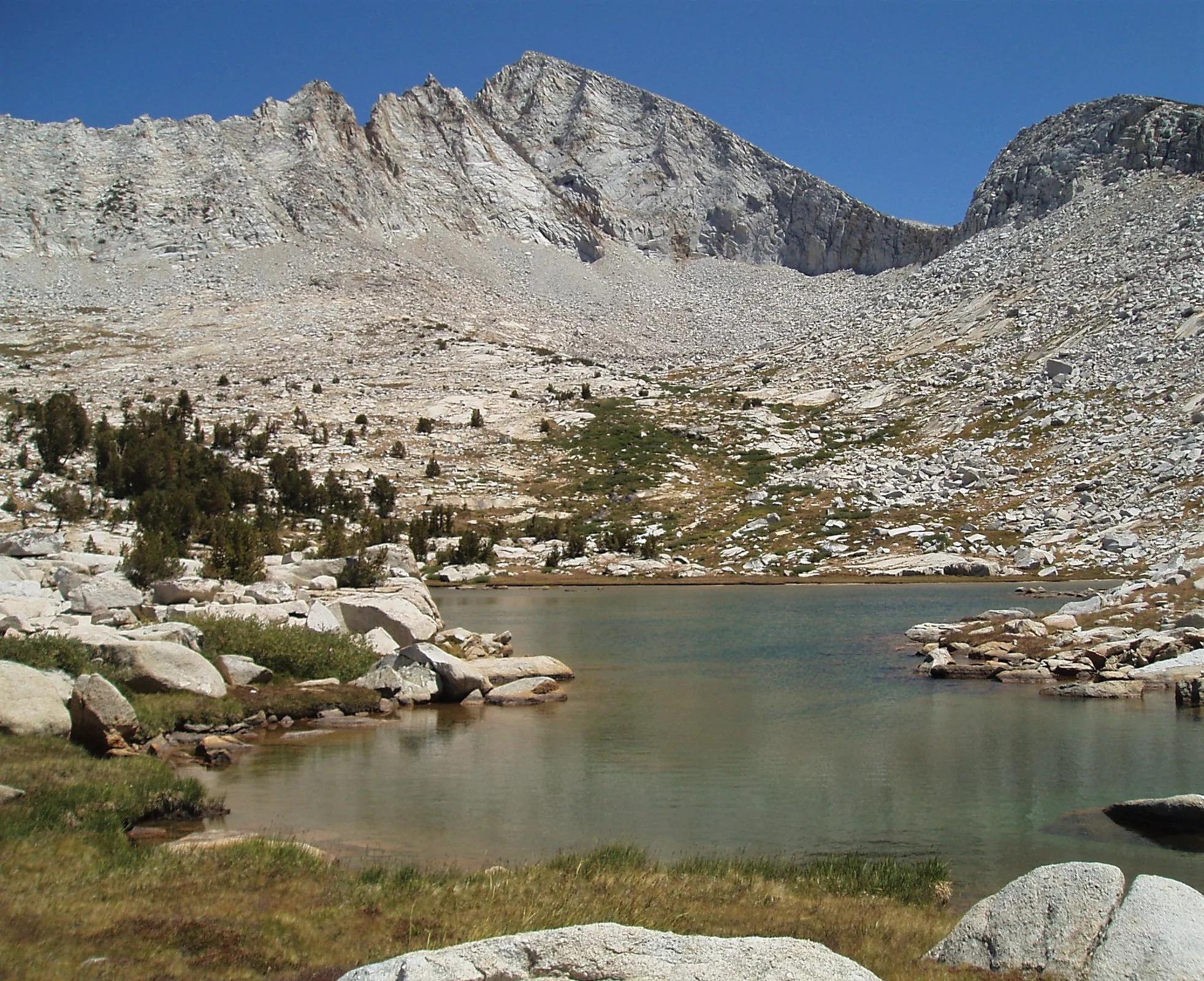
Inyo National Forest · Yosemite & Central Sierra
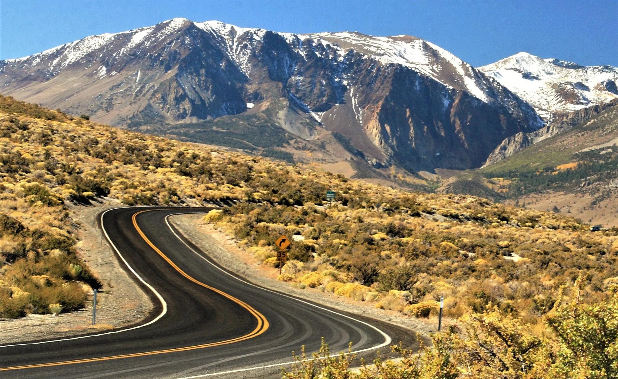
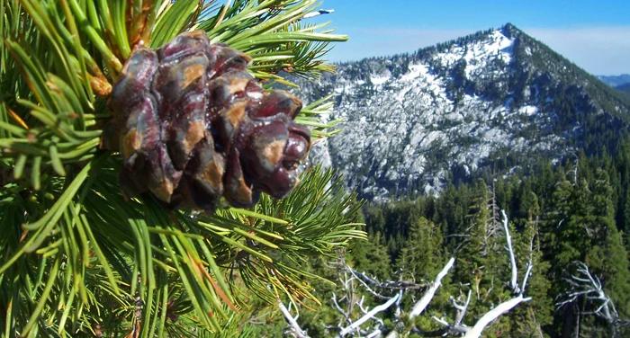
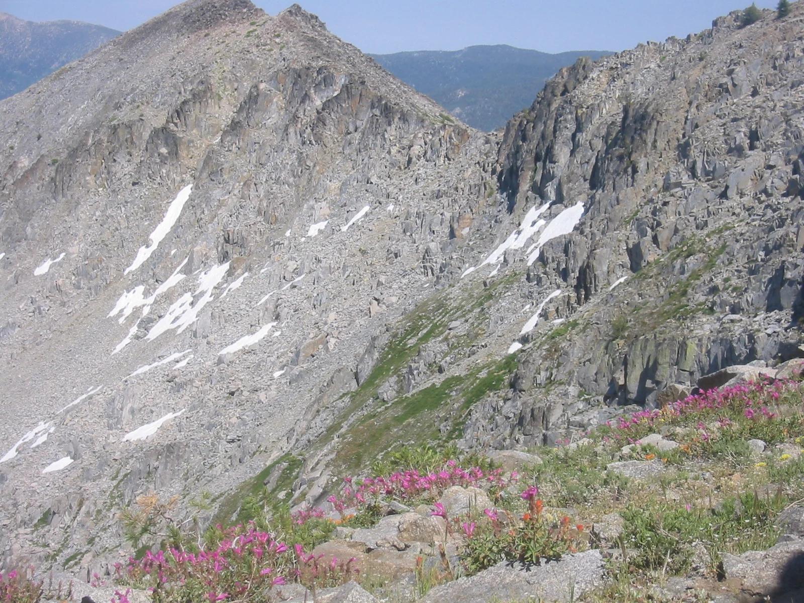
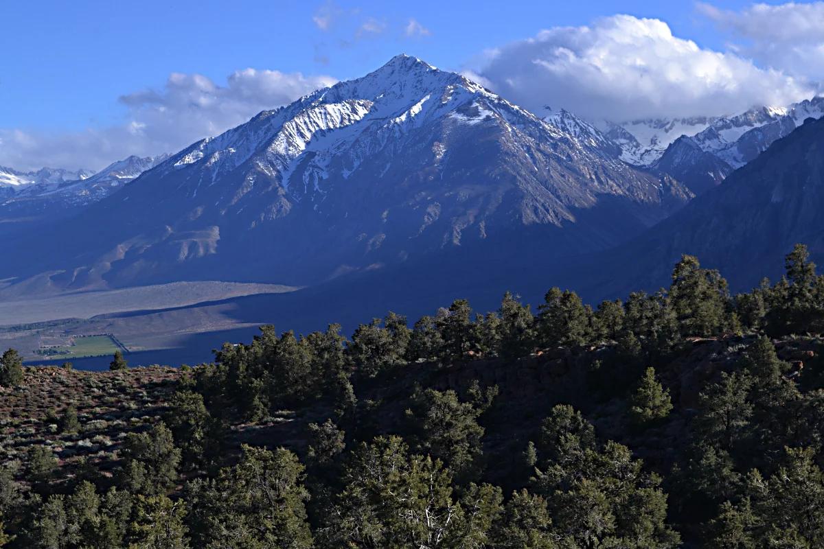
Mount Morrison
Verified California peak at 12,241 ft in Inyo National Forest (Yosemite & Central Sierra).
- Route
- 2.9 mi
- Climb
- 361 ft
Browse & Discover
Filter by activity, state, region, dog policy, or route effort — or use the interactive map below to find waterfalls, trails, beaches, bikeways, skateparks, and campgrounds near any location.
847 of 2,051 places
Drag to pan. Double-click, pinch or scroll to zoom. Keyboard: arrow keys and +/−. Cards below remain available.
Loading map… Browse the spot cards below at any time.
Inyo National Forest · Yosemite & Central Sierra
Verified California peak at 12,241 ft in Inyo National Forest (Yosemite & Central Sierra).
Photo: The original uploader was Geographer at English Wikipedia . · CC BY 1.0
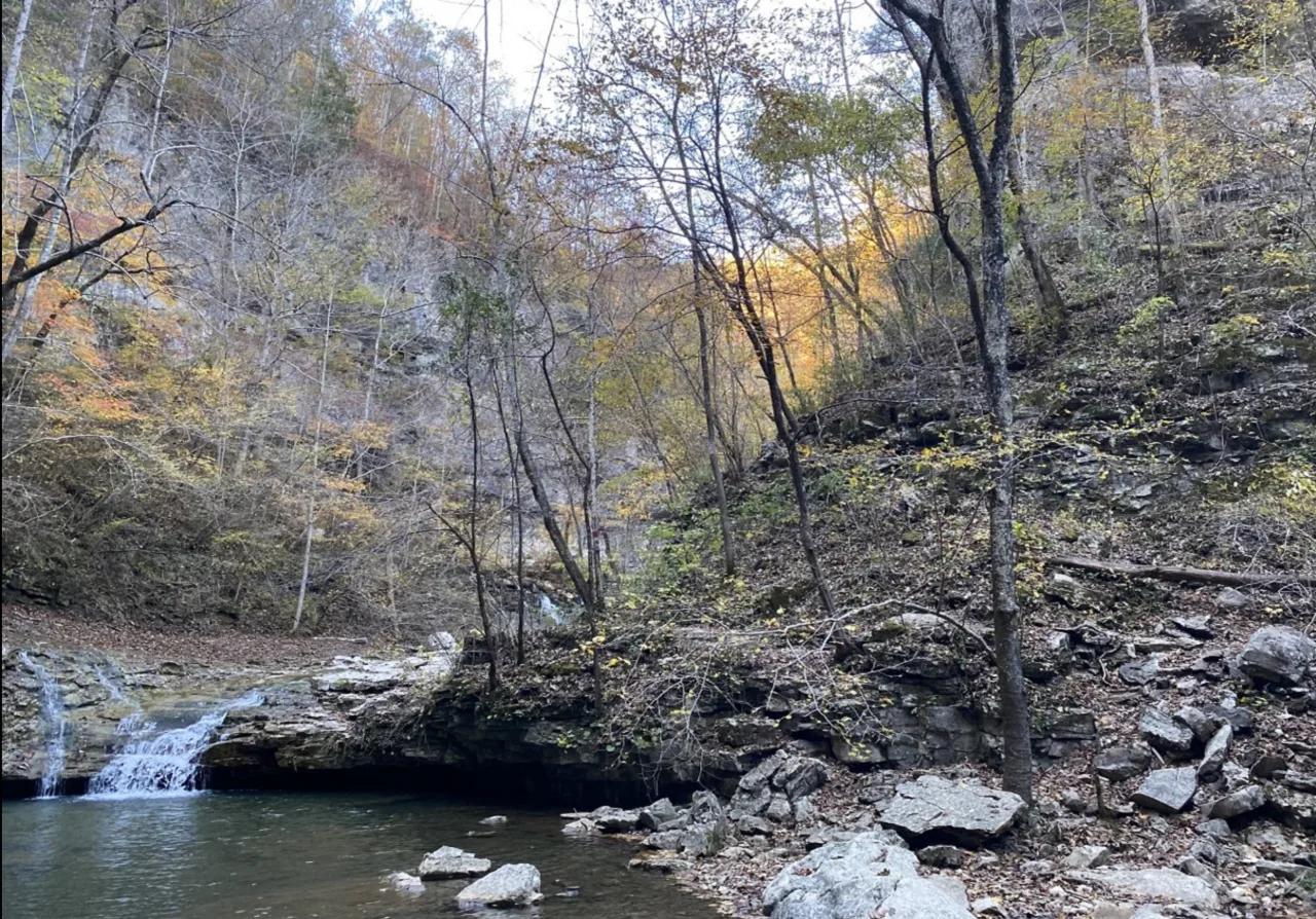
Walls of Jericho Forever Wild Tract (Estillfork) · Appalachian & Blue Ridge · Alabama
200-foot bowl-shaped limestone canyon carved by Hurricane Creek, featuring natural travertine swimming holes and a roaring cave waterfall.
Photo: Dan Chapman/USFWS · Public domain
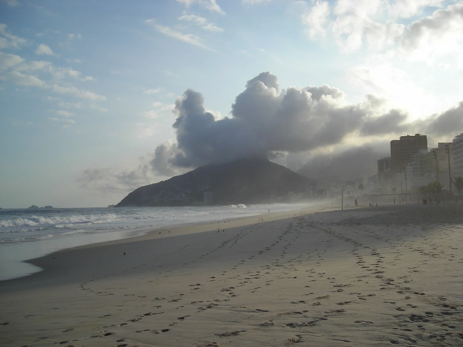
Parque Natural Municipal Penhasco Dois Irmãos · Costa Rica, Brazil & Latin America · Brazil
Iconic twin granite peaks bookending Rio's South Zone, reached via a jungle ridge scramble that unveils supreme views over Ipanema, Leblon, and Corcovado.
Photo: nico normand · CC BY-SA 3.0
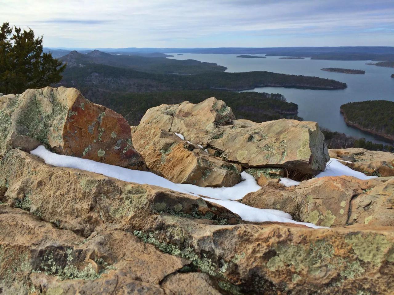
Pinnacle Mountain State Park (Little Rock) · South & Gulf Coast · Arkansas
Steep Jackfork Sandstone boulder cone rising 1,011 feet directly above the Arkansas River and Lake Maumelle, accompanied by Monument Trails mountain biking.
Photo: Jason Ronza · CC BY-SA 4.0

Copacabana Coastal Zone · Costa Rica, Brazil & Latin America · Brazil
Four kilometres of sweeping golden Atlantic sands bordered by Roberto Burle Marx's black-and-white wave mosaic calçadão, alive with beach volleyball and ocean running.
Photo: Marinelson Almeida - Traveling by Brazil · CC BY 2.0
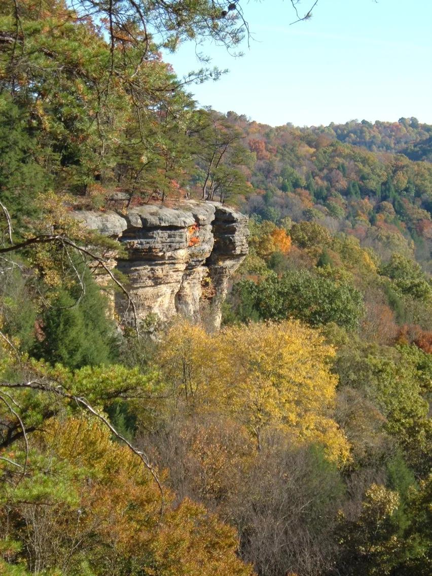
Conkles Hollow State Nature Preserve · Hocking Hills · Ohio
Sheer 200-foot Black Hand sandstone cliffs bounding one of the deepest ravines in Ohio, traversed by an exhilarating cliff-edge rim trail.
Photo: Analogue Kid at English Wikipedia · CC BY 2.5
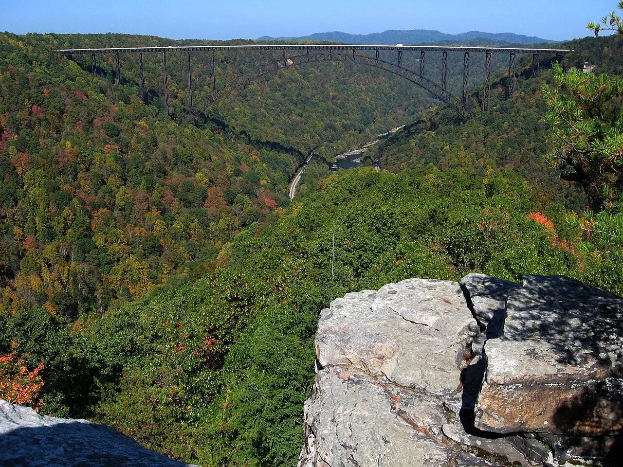
New River Gorge National Park and Preserve · Appalachian & Blue Ridge · West Virginia
Narrow Nuttall sandstone rock finger jutting into the gorge with a dead-center profile view of the 3,030-foot New River Gorge steel arch bridge.
Photo: NPS photo/Dave Bieri · Public domain
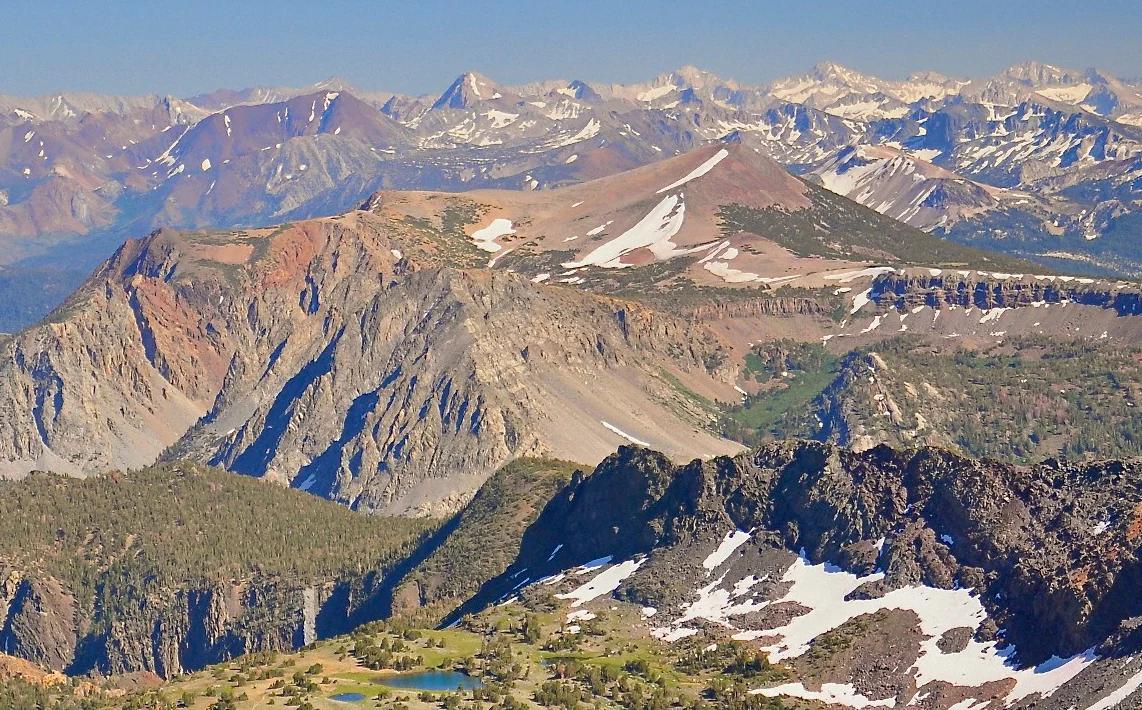
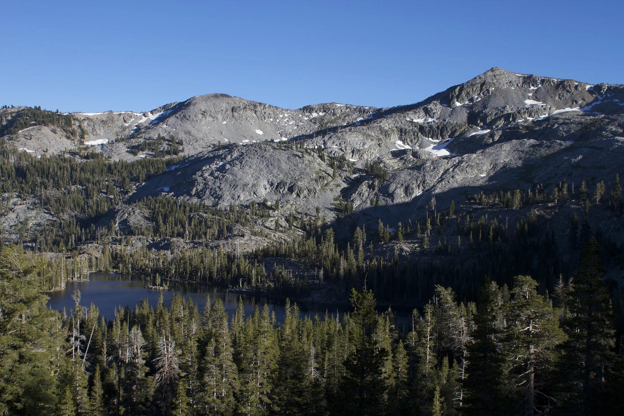
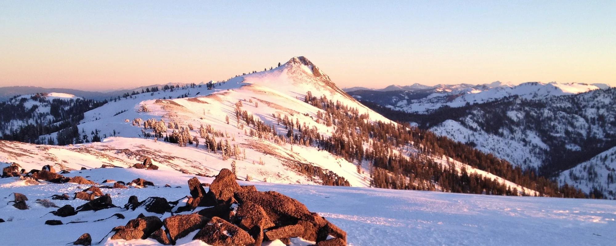
Inyo National Forest · Yosemite & Central Sierra
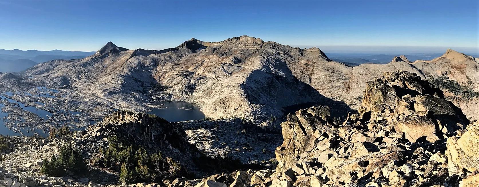
Verified California peak at 11,555 ft in Inyo National Forest (Yosemite & Central Sierra).
Photo: File:Alger Lakes Ansel Adams Wilderness.jpg : Steve Dunleavy from Lake Tahoe, NV, United States cropping: Hike395 · CC BY 2.0
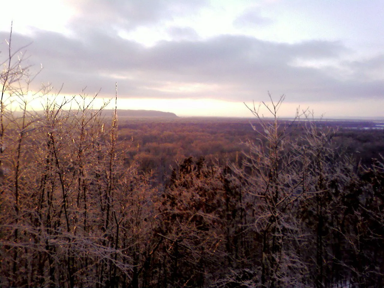
Shawnee National Forest (Murphysboro) · Southern Illinois / Shawnee · Illinois
Adventurous descent through a steep box canyon where ancient creek waters have carved foot-holds directly into slick sandstone beneath 300-foot bluffs.
Photo: randwill · CC BY 2.0
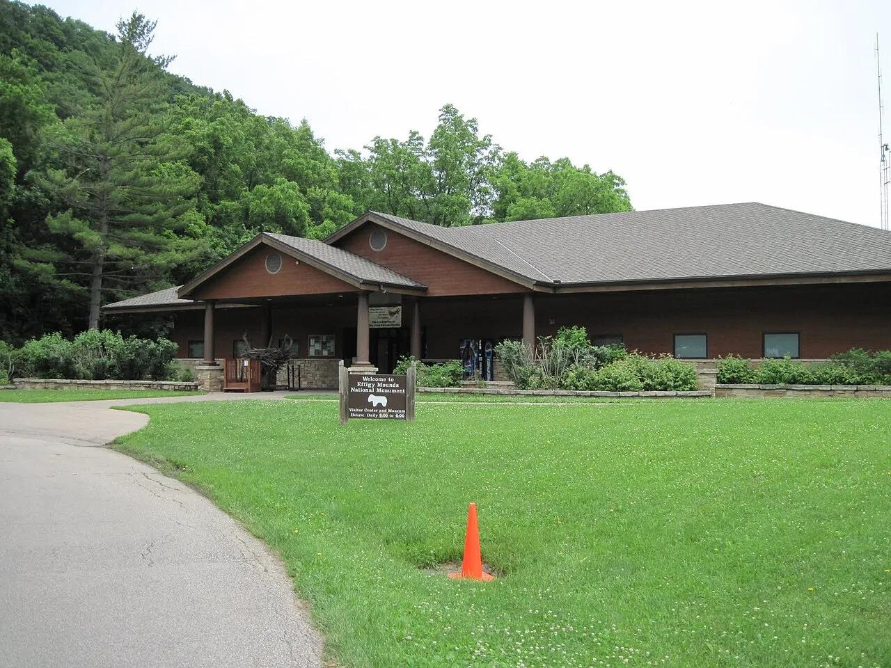
Effigy Mounds National Monument · Upper Mississippi Valley · Iowa
Sacred American Indian effigy earthworks shaped like bears and birds atop forested Mississippi River bluffs overlooking the Yellow River delta.
Photo: SkybirdForever · CC BY-SA 3.0
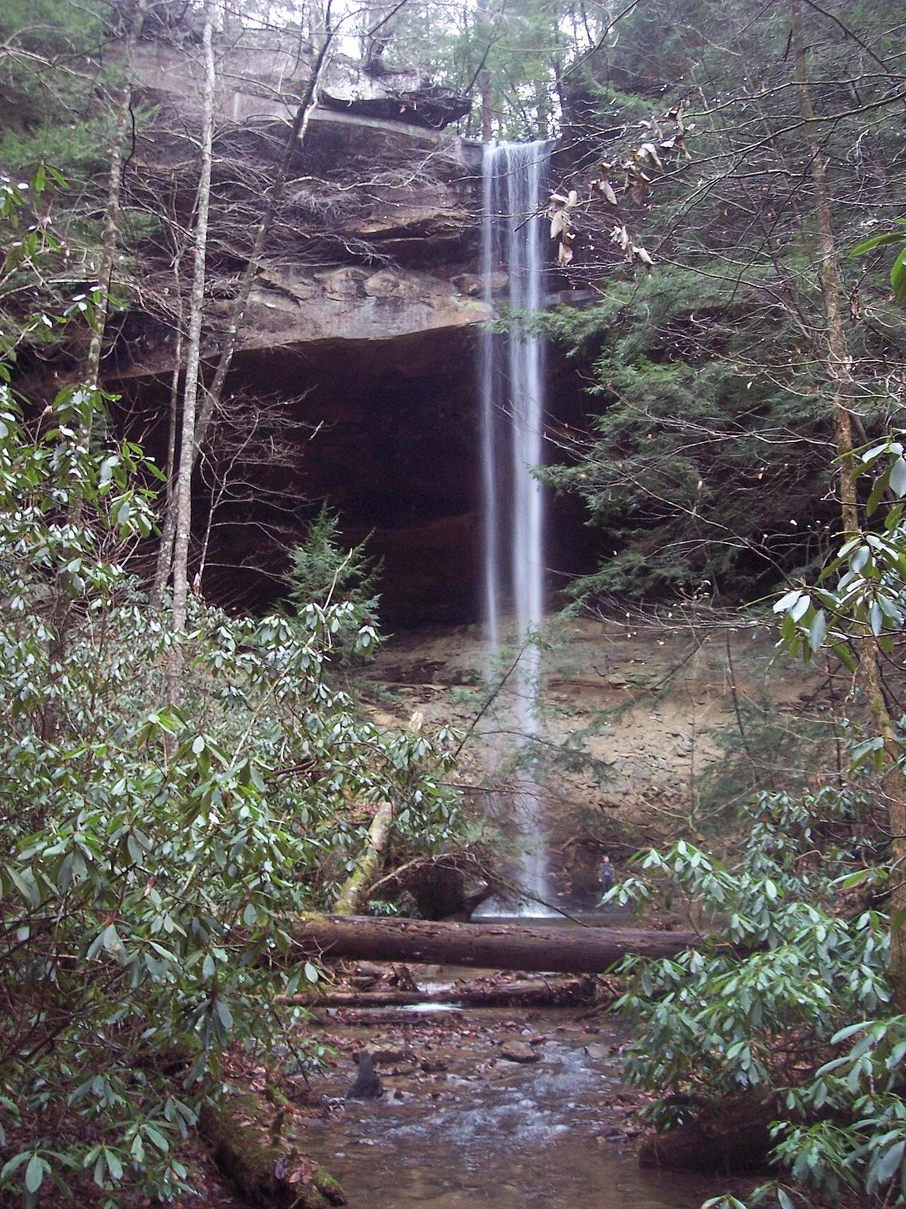
Big South Fork National River and Recreation Area (Whitley City) · Appalachian & Blue Ridge · Kentucky
Kentucky's highest waterfall—a 113-foot plunge framed by a massive sandstone rock shelter you can walk completely behind.
Photo: Mason Brock (Masebrock) · Public domain
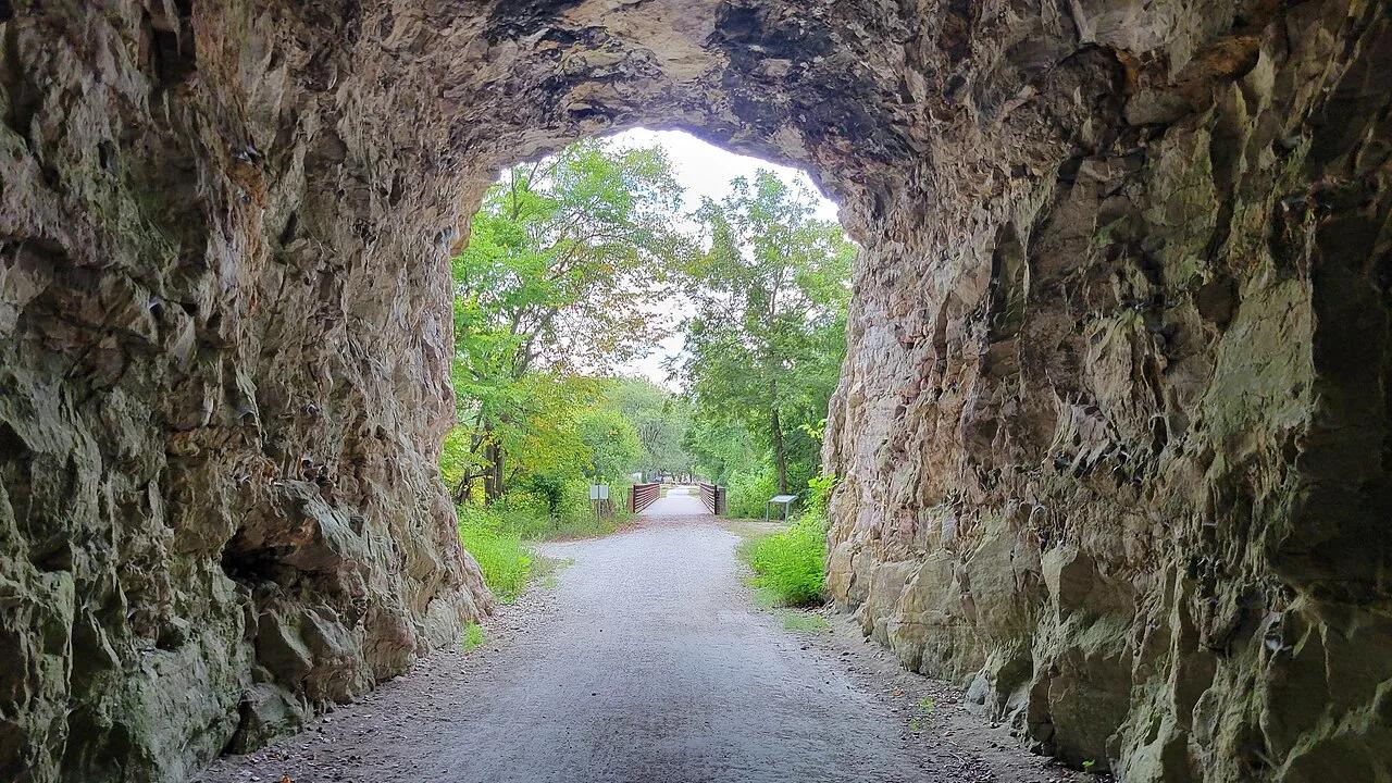
Katy Trail State Park (Rocheport) · Mid-Missouri · Missouri
Iconic rail-trail section hugging soaring 200-foot Burlington limestone bluffs along the Missouri River, passing Lewis and Clark pictographs and the 1893 stone tunnel.
Photo: RuralResurrection · CC BY 4.0
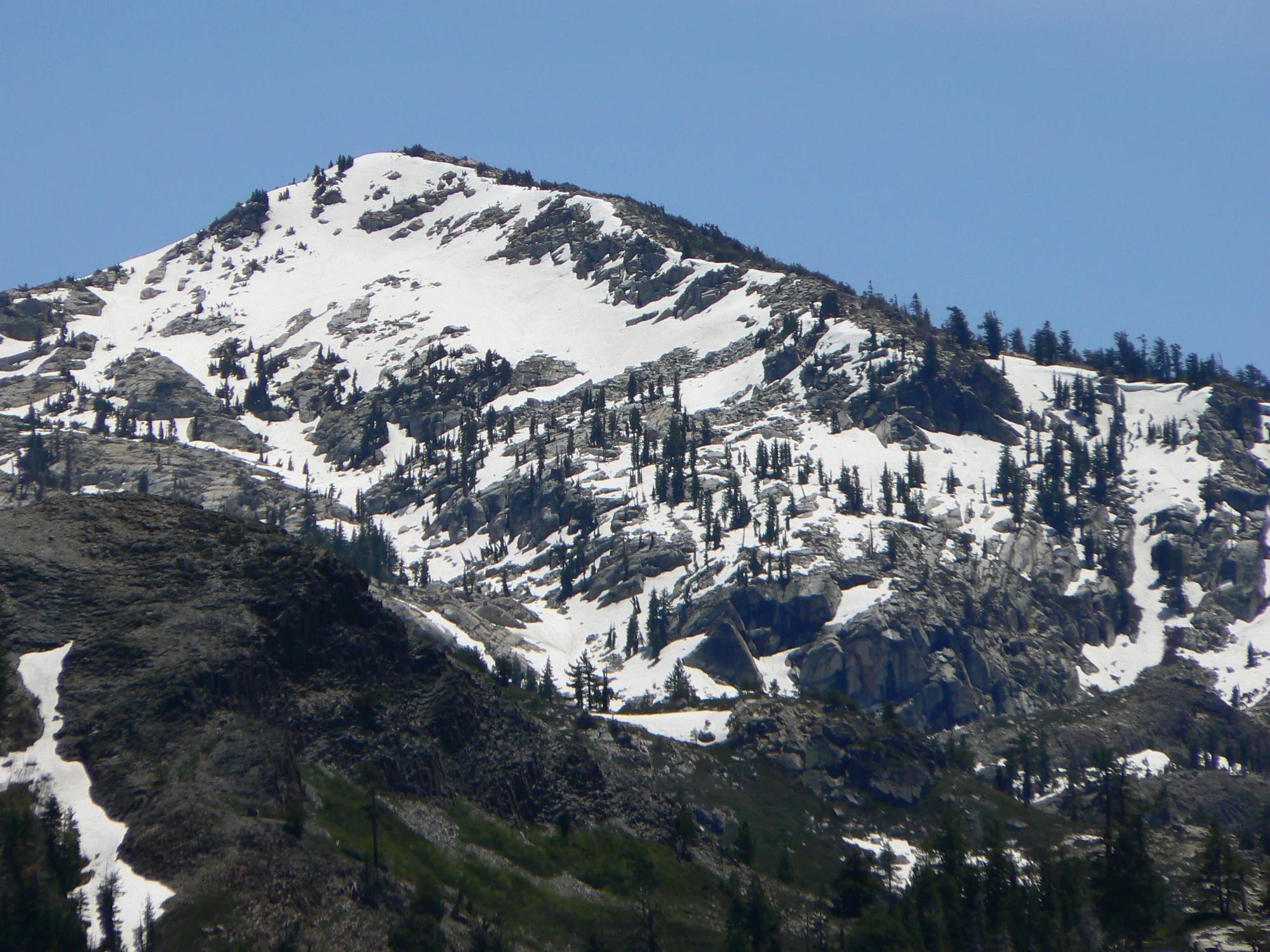
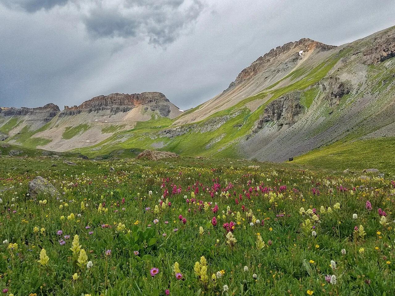
Eldorado National Forest · Lake Tahoe & Northern Sierra
Verified California peak at 8,855 ft in Eldorado National Forest (Lake Tahoe & Northern Sierra).
Photo: Nick Ares from Auburn, CA, United States · CC BY-SA 2.0
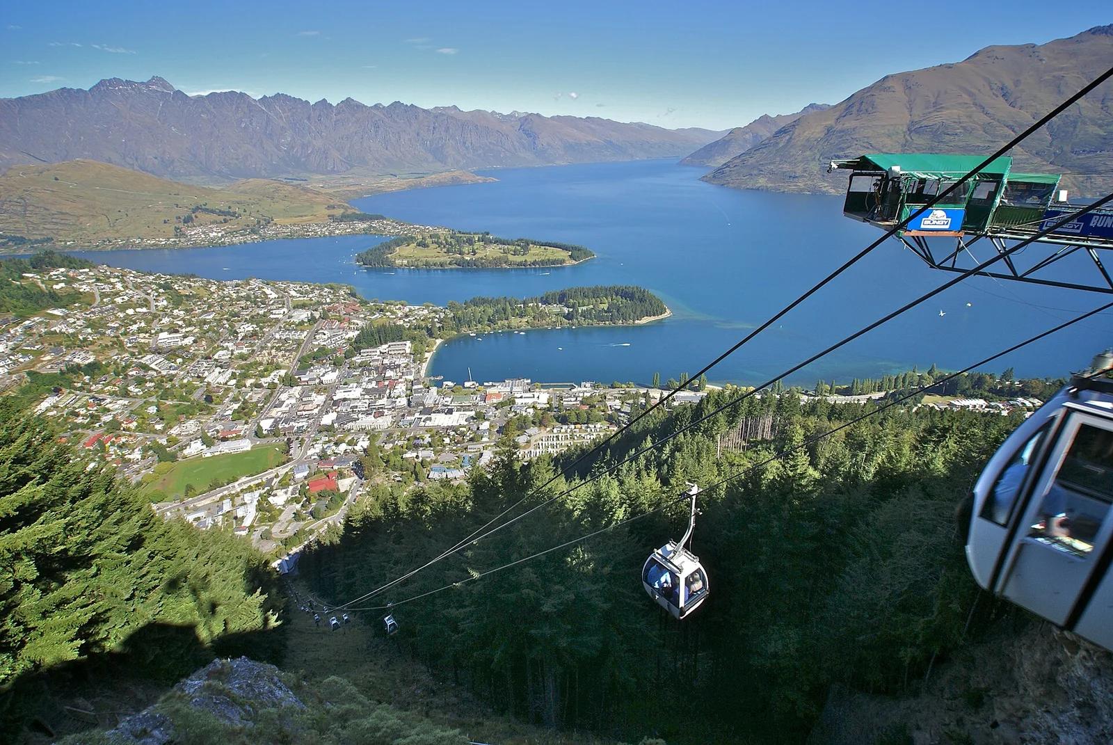
Bob's Peak / Ben Lomond Reserve · New Zealand
Southern Hemisphere downhill mountain bike mecca accessed via Skyline Gondola, featuring over 30 kilometres of world-class flow trails dropping 450 vertical metres.
Photo: Matthias Klappenbach · CC BY 2.0
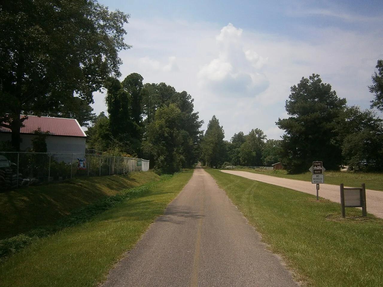
Hattiesburg to Prentiss Gateway · South & Gulf Coast · Mississippi
44-mile paved rails-to-trails cycling highway slicing through rolling longleaf pine ridges, beaver ponds, and historic depot towns.
Photo: Aaron Manning · CC BY 3.0