Canyon
Starved Rock State Park · Midwest & Great Lakes · Illinois
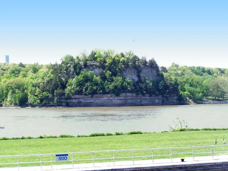
Starved Rock & French Canyon
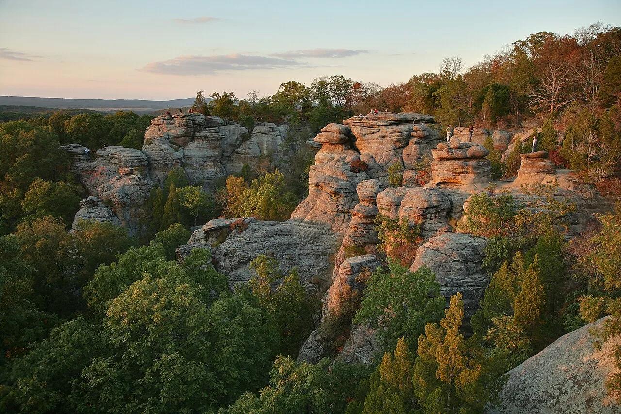
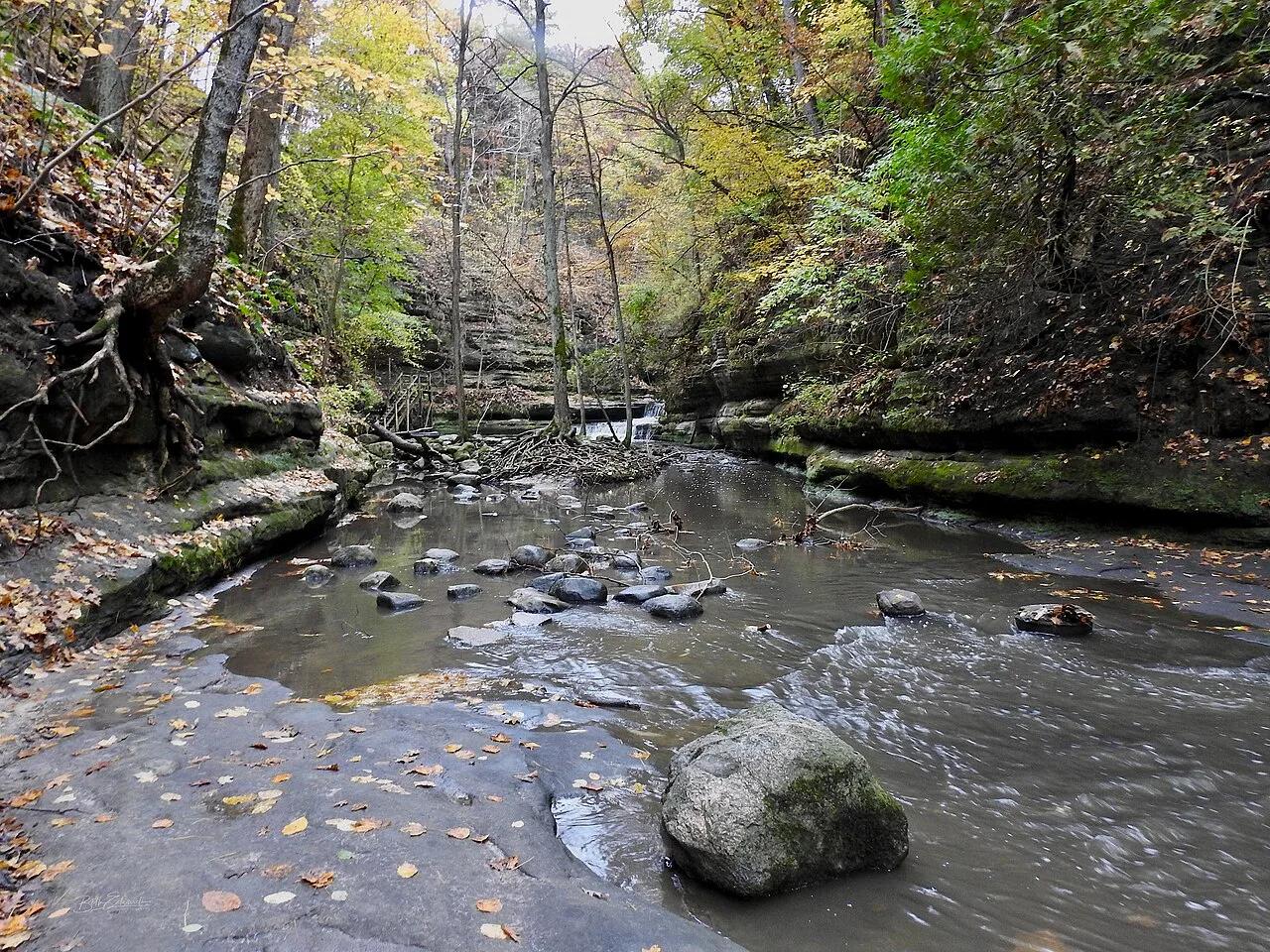
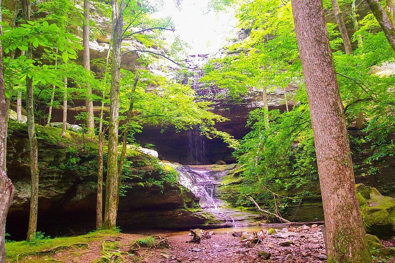
Eighteen St. Peter sandstone canyons and seasonal waterfalls carved along the south bluff of the Illinois River.
- Route
- 4.3 mi
- Climb
- 459 ft
Browse & Discover
Filter by activity, state, region, dog policy, or route effort — or use the interactive map below to find waterfalls, trails, beaches, bikeways, skateparks, and campgrounds near any location.
14 of 2,051 places
Drag to pan. Double-click, pinch or scroll to zoom. Keyboard: arrow keys and +/−. Cards below remain available.
Loading map… Browse the spot cards below at any time.
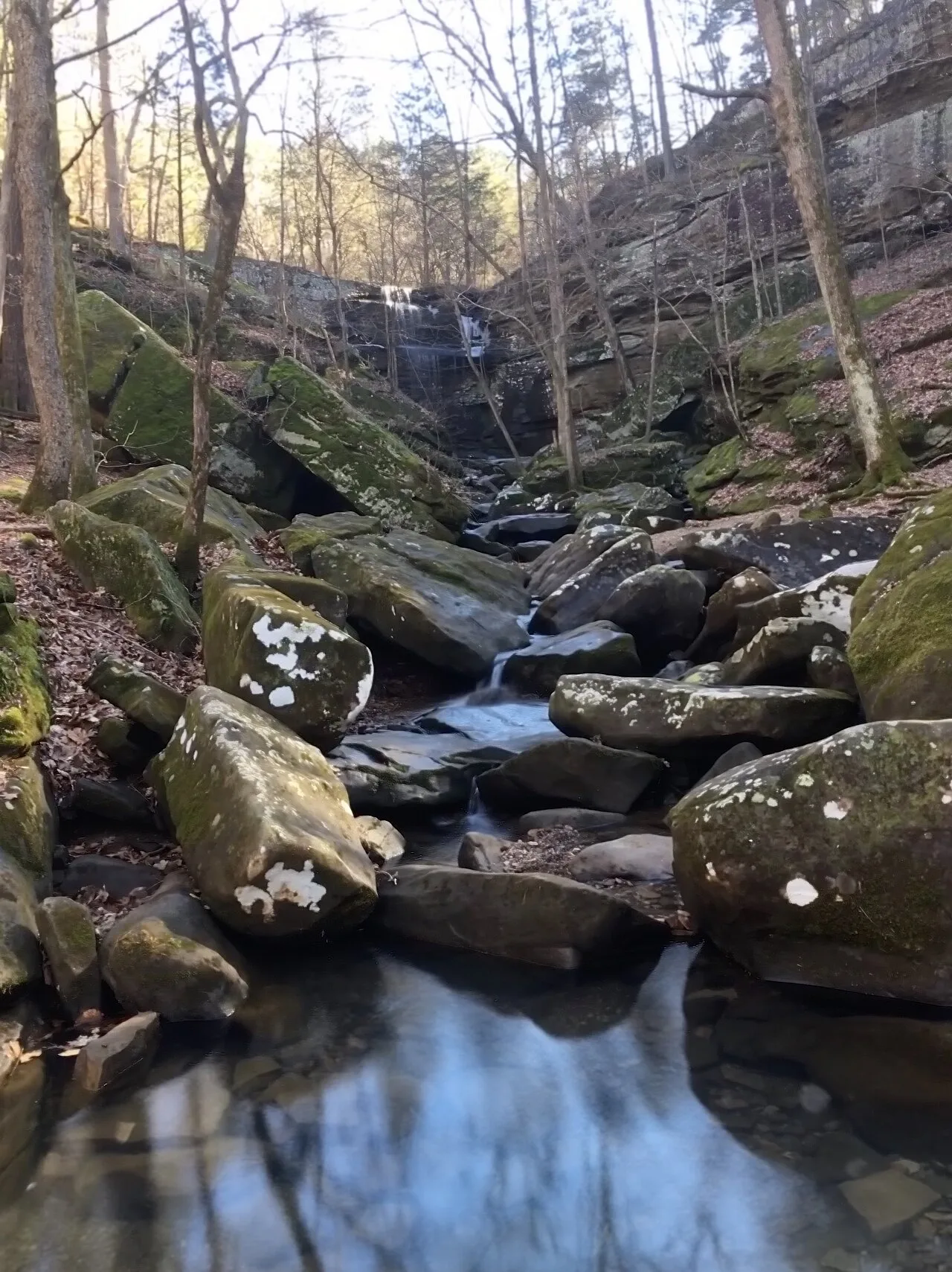
Shawnee National Forest (Burden Falls Wilderness) · Southern Illinois / Shawnee · Illinois
Illinois's largest waterfall complex, dropping over a series of sandstone ledges including an upper 20-foot drop and a thunderous 80-foot gorge plunge.
Photo: Mrostrichman · CC BY-SA 4.0
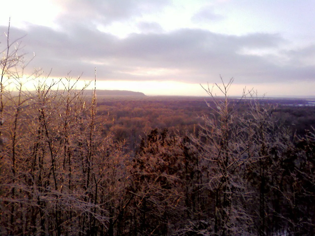
Shawnee National Forest (Murphysboro) · Southern Illinois / Shawnee · Illinois
Adventurous descent through a steep box canyon where ancient creek waters have carved foot-holds directly into slick sandstone beneath 300-foot bluffs.
Photo: randwill · CC BY 2.0
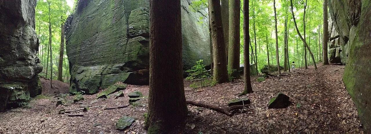
Shawnee National Forest (Karbers Ridge) · Southern Illinois / Shawnee · Illinois
Circular rim trail around a prehistoric stone fort bluff leading down wooden stairs through a narrow crevice into massive sandstone Ox-Lot Cave.
Photo: usfs_Eastern_Region · Public domain
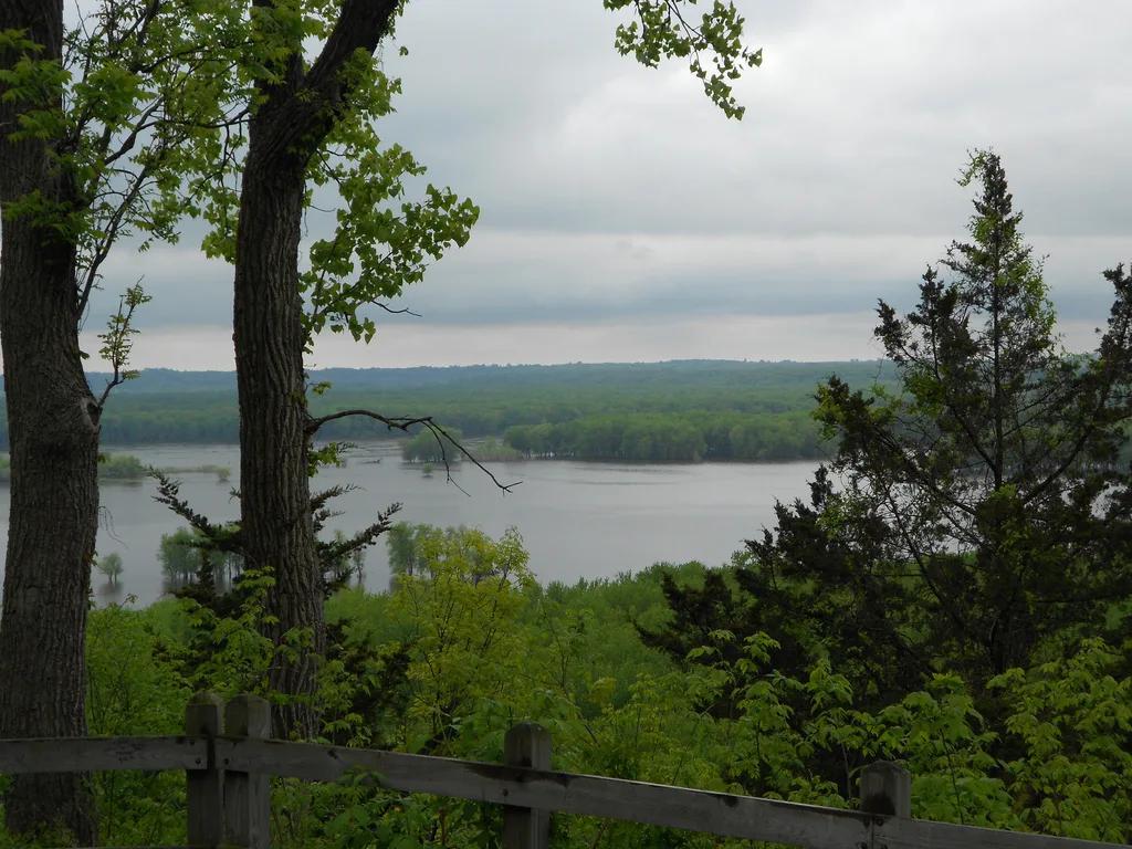
Mississippi Palisades State Park · Upper Mississippi Valley · Illinois
Towering dolomite sea-palisades overlooking the Mississippi and Apple River confluence, framed by eroded pillars Sentinel Rock and Twin Sisters.
Photo: moistpics3 · CC BY 2.0
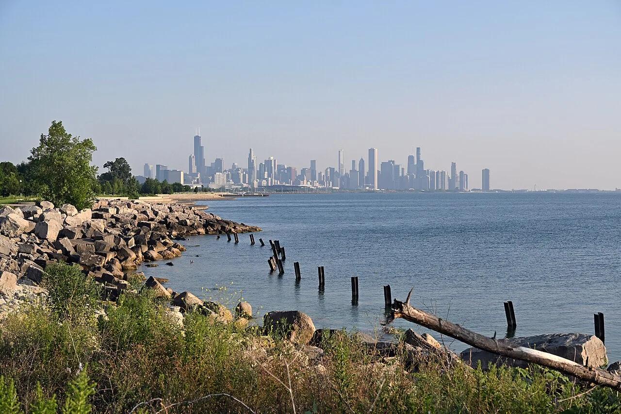
Burnham Park / Chicago Park District · Chicago Metro · Illinois
World-famous paved multi-use waterfront greenway stretching along Lake Michigan with skyline views from Northerly Island to historic Promontory Point.
Photo: DimiTalen · Public domain
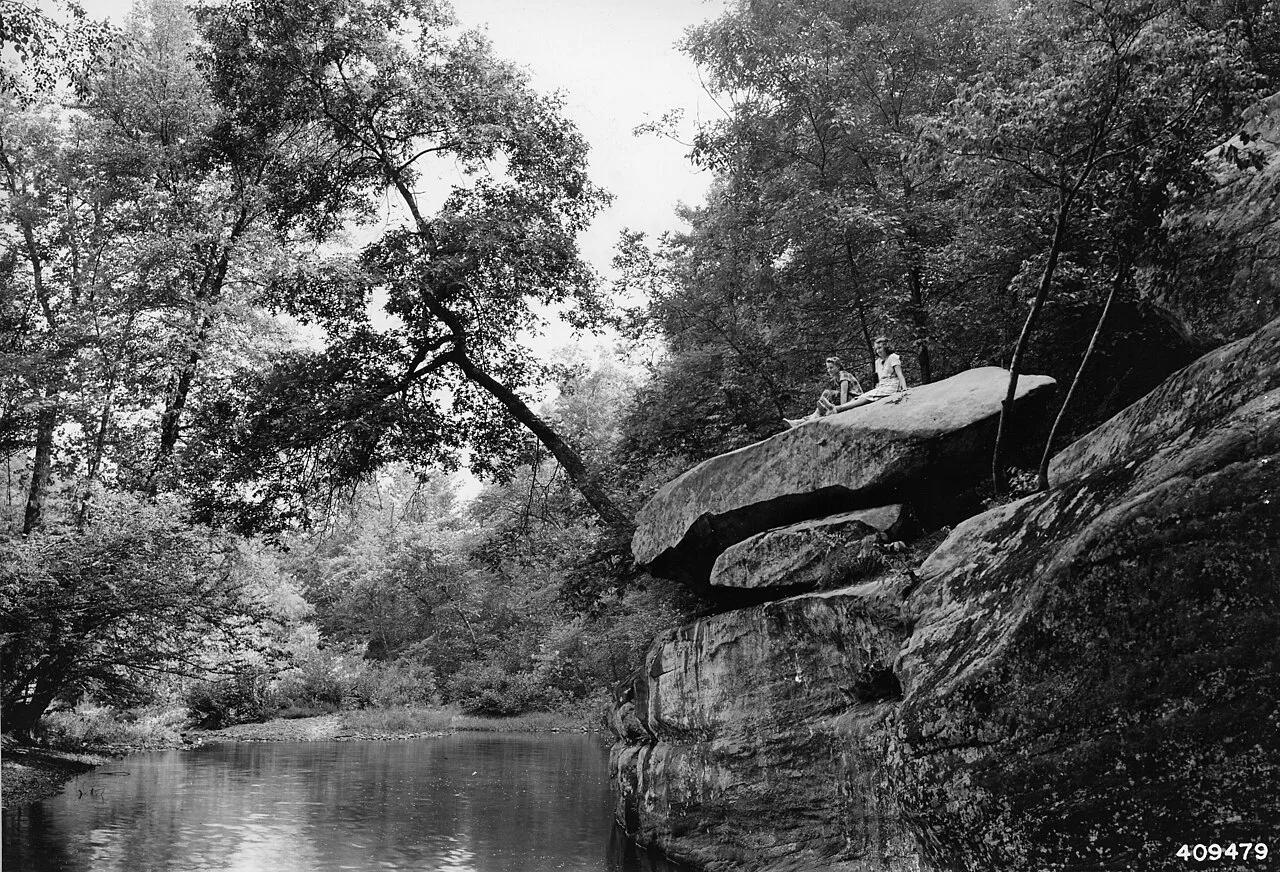
Shawnee National Forest (Ozark) · Southern Illinois / Shawnee · Illinois
Spectacular sandstone canyon featuring clear stream swimming pools, a 125-foot natural stone bridge, and the soaring fin of Devil's Backbone.
Photo: Unknown authorUnknown author or not provided · Public domain
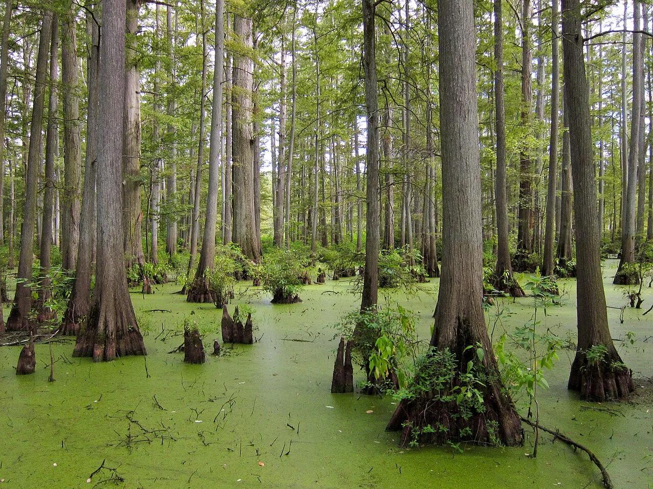
Cache River State Natural Area (Belknap) · Midwest & Great Lakes · Illinois
Floating boardwalk into a 1,000-year-old Tupelo and Bald Cypress wetland sanctuary at the northernmost edge of the Gulf Coastal Plain.
Photo: Miguel.v · CC BY-SA 3.0