Peak
3 photosZion National Park · Utah & Mighty 5 · Utah
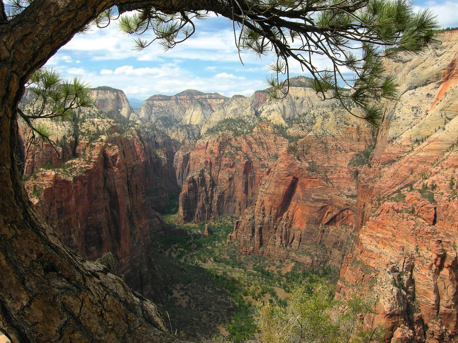
Angels Landing
A sheer sandstone fin rising 1,488 feet above the Virgin River with an iconic chained ridge traverse.
- Route
- 5.4 mi
- Climb
- 1,486 ft
Browse & Discover
Filter by activity, state, region, dog policy, or route effort — or use the interactive map below to find waterfalls, trails, beaches, bikeways, skateparks, and campgrounds near any location.
400 of 2,051 places
Drag to pan. Double-click, pinch or scroll to zoom. Keyboard: arrow keys and +/−. Cards below remain available.
Loading map… Browse the spot cards below at any time.

Russian Ridge Open Space Preserve
The highest named summit in San Mateo County, an open grassland top on Russian Ridge with views from the ocean to the Bay.
Justin Dolske from Cupertino, USA · CC BY-SA 2.0. Source & image licence

Mission Peak Regional Preserve
The bare grassland summit above Fremont, marked by the Mission Peeker sighting pole and climbed by the Hidden Valley Trail from Stanford Avenue.
Oleg Alexandrov · CC BY-SA 3.0. Source & image licence

Angeles National Forest
The highest summit of the San Gabriel Mountains, reached from Baldy Notch along the exposed Devils Backbone ridge.
Darkest tree · CC BY-SA 4.0. Source & image licence

Mount Tamalpais State Park
The summit of Mount Tamalpais, a short plank-and-rock climb from the East Peak visitor area to the fire lookout above the whole Bay Area.
Chris Koerner from St. Louis, USA · CC BY-SA 2.0. Source & image licence
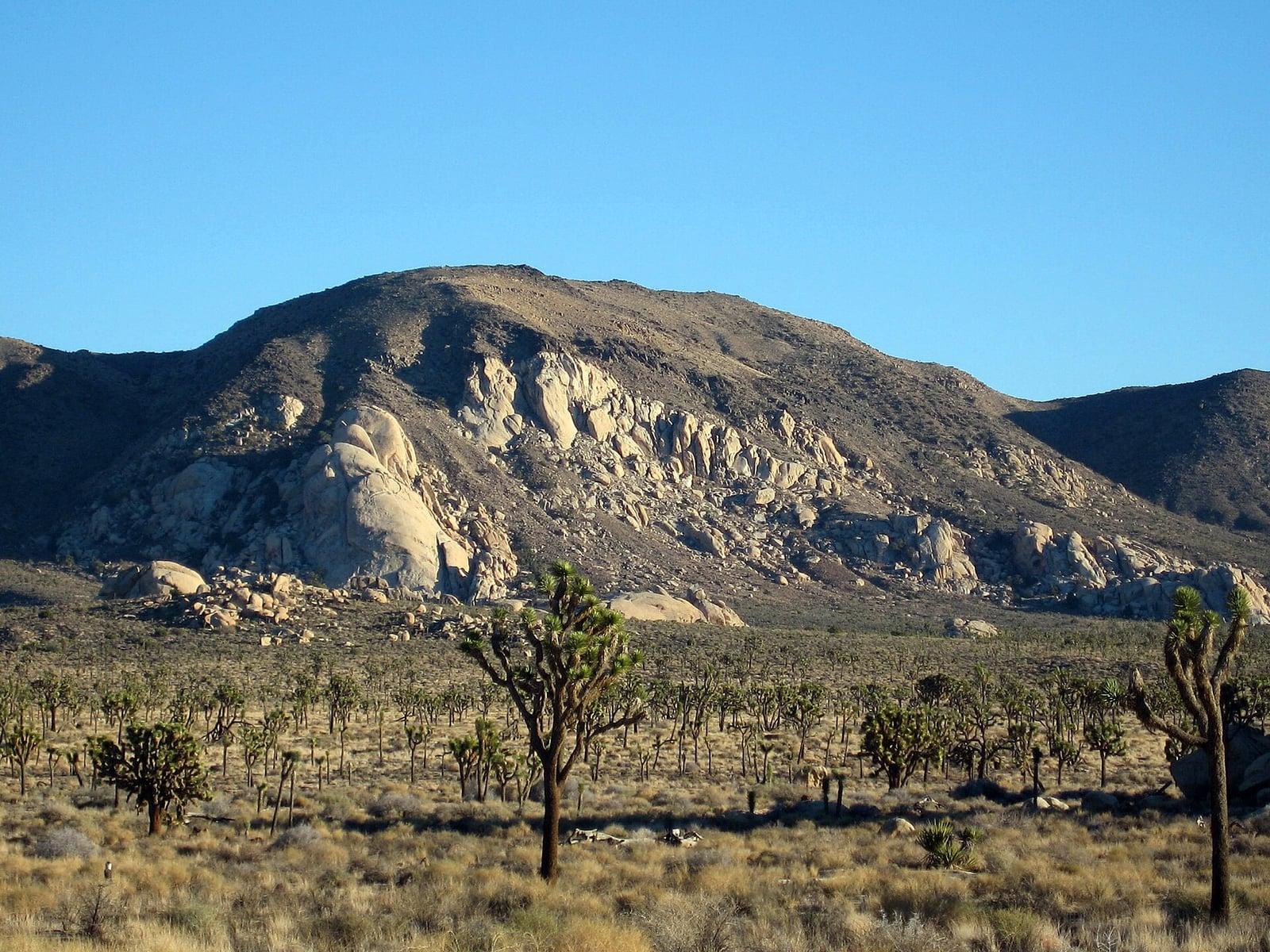
Joshua Tree National Park
A signed summit trail in Joshua Tree National Park, climbing from Park Boulevard to Ryan Mountain.
Robb Hannawacker / National Park Service · Public domain. Source & image licence

Santa Monica Mountains National Recreation Area
The highest point in the Santa Monica Mountains, climbed from the Mishe Mokwa trailhead along the Backbone Trail at Circle X Ranch.
Wasquewhat · CC BY-SA 4.0. Source & image licence
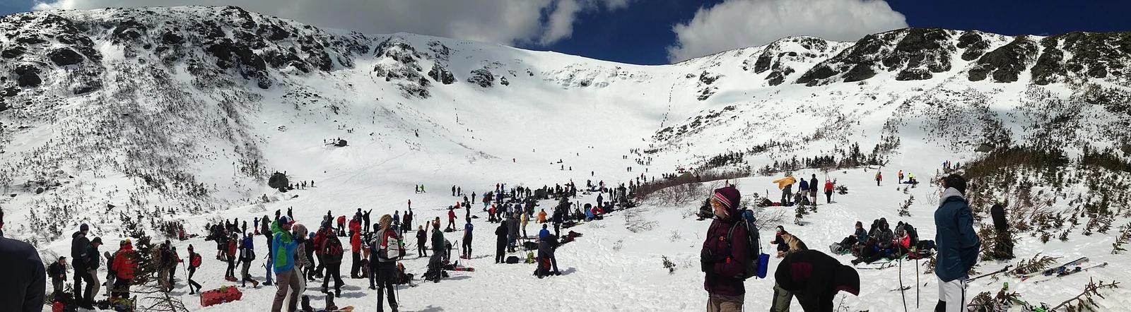
White Mountain National Forest · New England & Adirondacks · New Hampshire
Climbs through the legendary glacial cirque of Tuckerman Ravine to the wind-battered 6,288-foot summit of Mount Washington.
Photo: jjvoll · CC BY-SA 3.0
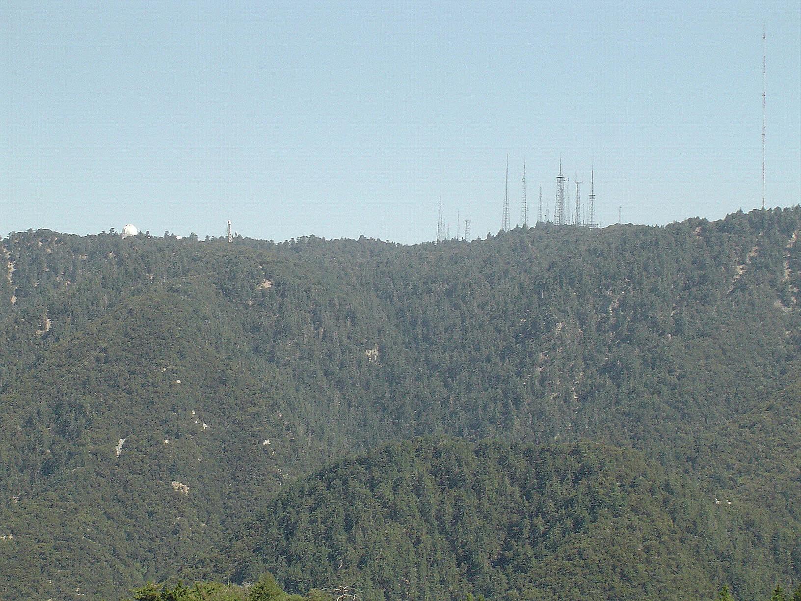
Angeles National Forest · San Gabriel Mountains
Verified California peak at 5,699 ft in Angeles National Forest (San Gabriel Mountains). Linked to Rim Trail.
Photo: The original uploader was Geographer at English Wikipedia . · CC BY 1.0
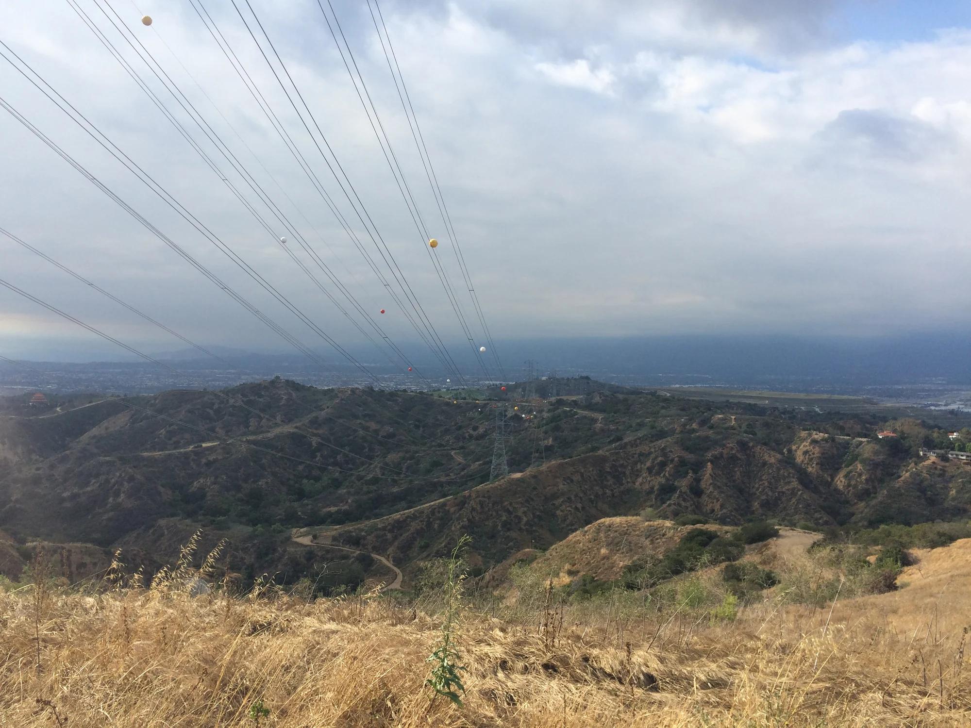
Puente Hills Habitat Preservation Authority · Central Valley & Foothills
Verified California peak at 1,391 ft in Puente Hills Habitat Preservation Authority (Central Valley & Foothills). Linked to Schabarum-Skyline Trail.
Photo: Sergei Gussev · CC BY 2.0
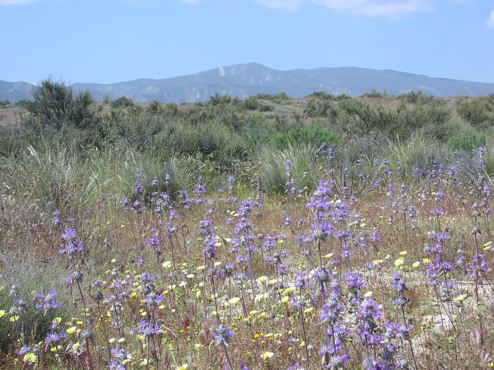
Central Coast
Verified California peak at 5,106 ft in Central Coast.
Photo: Antandrus at English Wikipedia · CC BY-SA 3.0
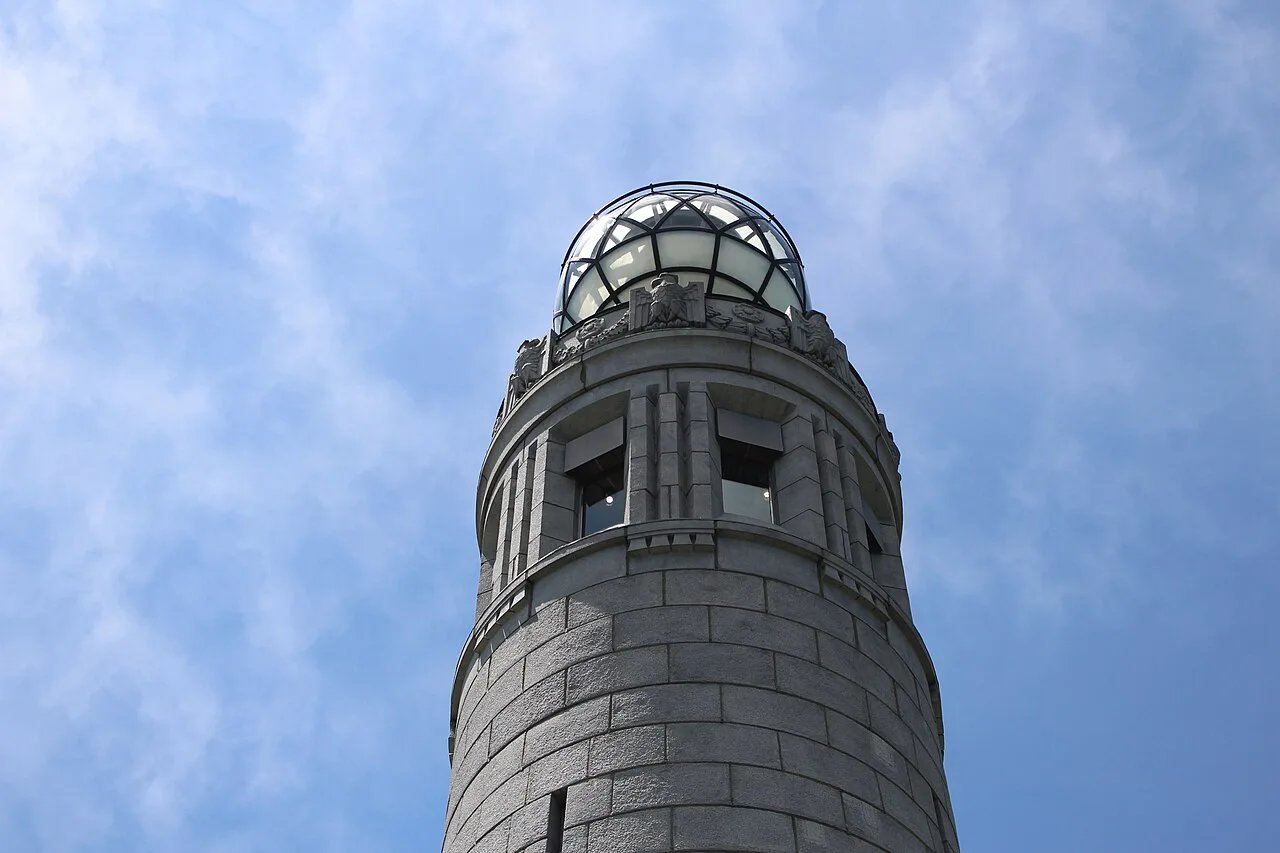
Mount Greylock State Reservation · Northeast & New England · Massachusetts
The highest peak in Massachusetts (3,491 ft), crowned by the 93-foot granite Veterans War Memorial Tower on the Appalachian Trail.
Photo: Vvburen · CC BY-SA 4.0