Viewpoint
3 photosYosemite National Park · Yosemite & Central Sierra
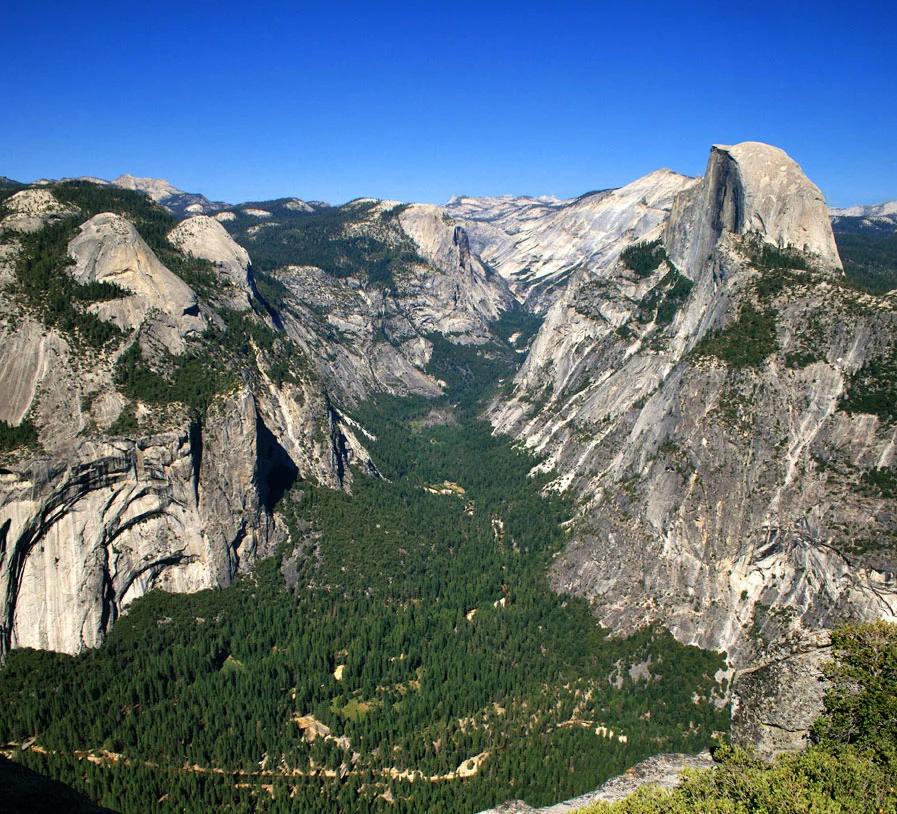
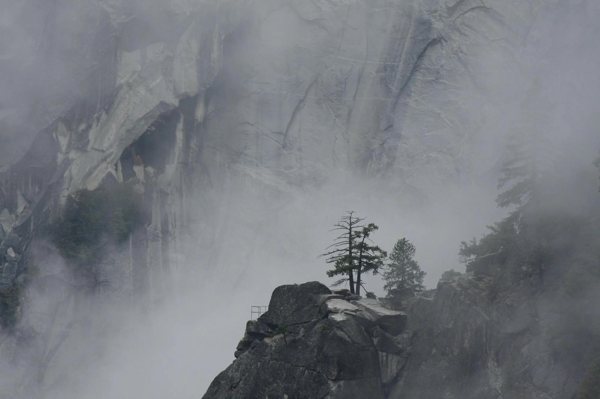
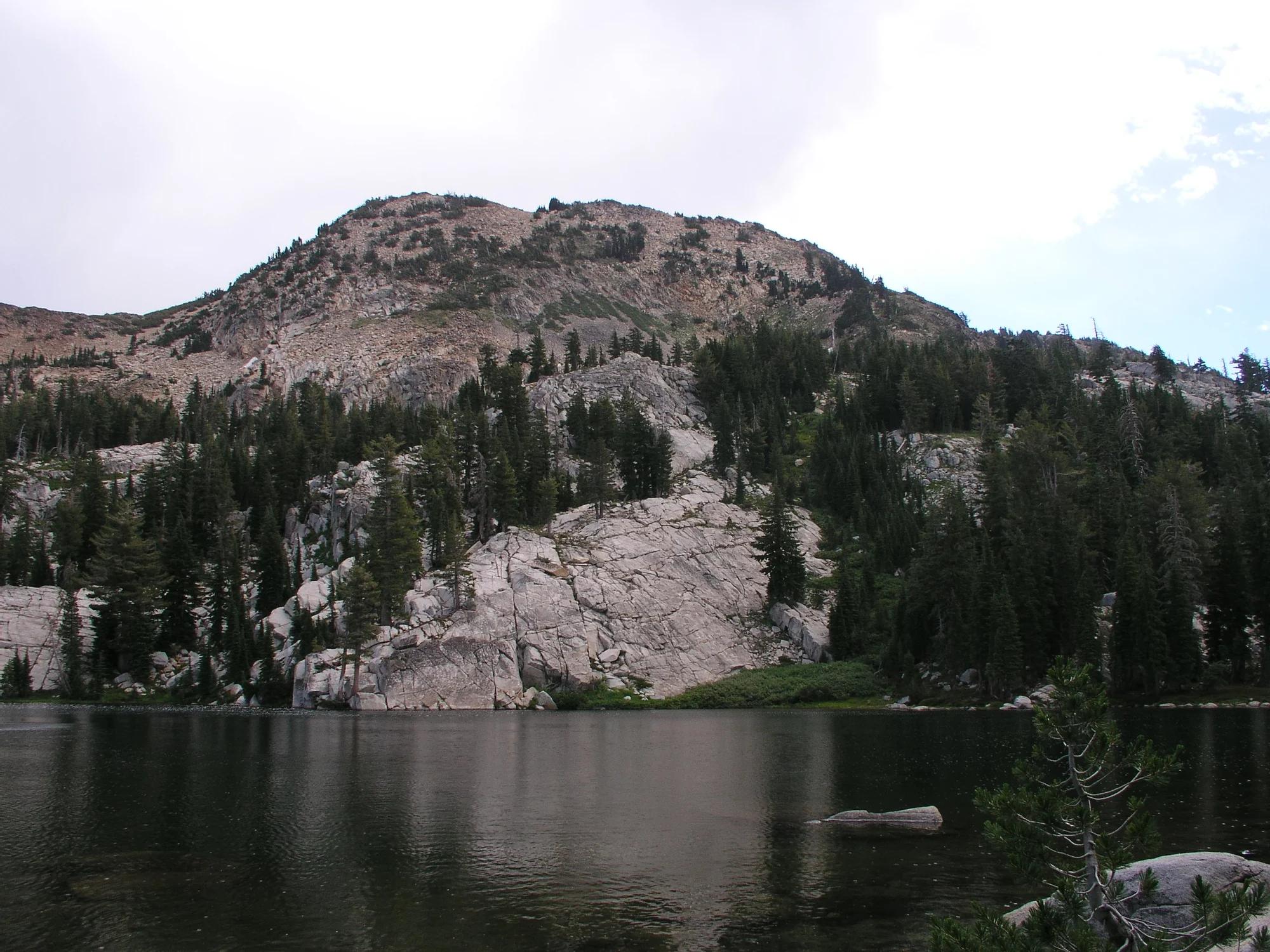
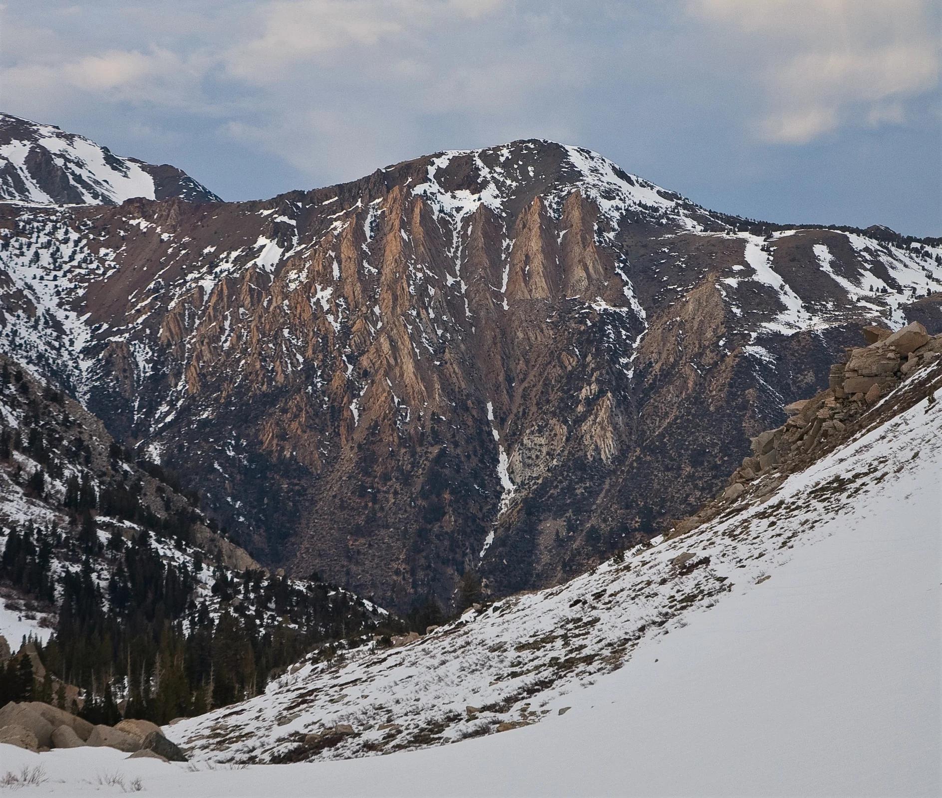
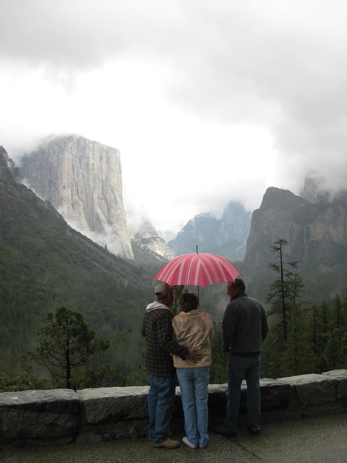
Tunnel View
Verified California viewpoint at 4,406 ft in Yosemite National Park (Yosemite & Central Sierra). Linked to Pohono Trail.
- Route
- 12.5 mi
- Elevation
- 4,406 ft
Browse & Discover
Filter by activity, state, region, dog policy, or route effort — or use the interactive map below to find waterfalls, trails, beaches, bikeways, skateparks, and campgrounds near any location.
295 of 2,051 places
Drag to pan. Double-click, pinch or scroll to zoom. Keyboard: arrow keys and +/−. Cards below remain available.
Loading map… Browse the spot cards below at any time.
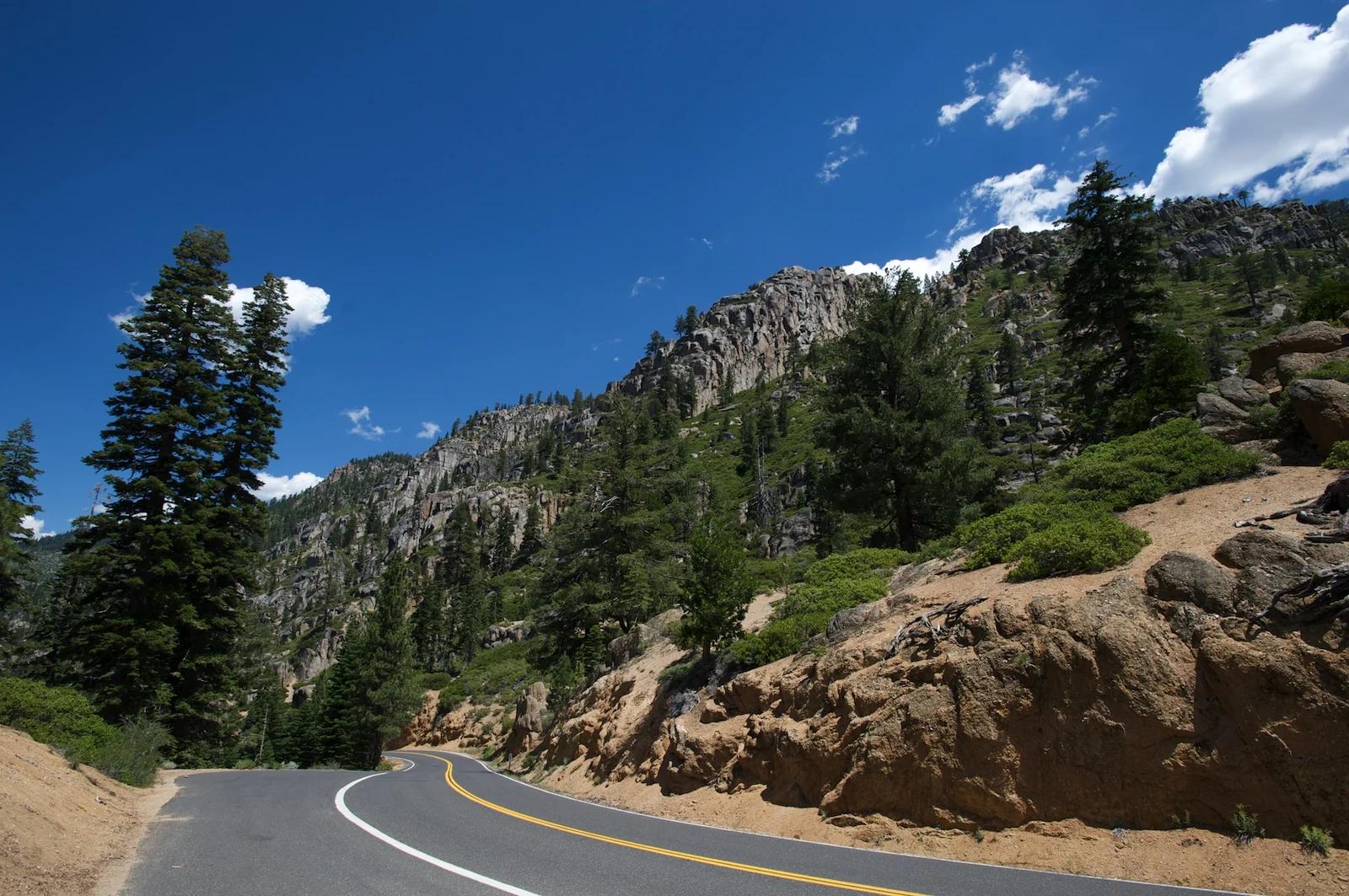
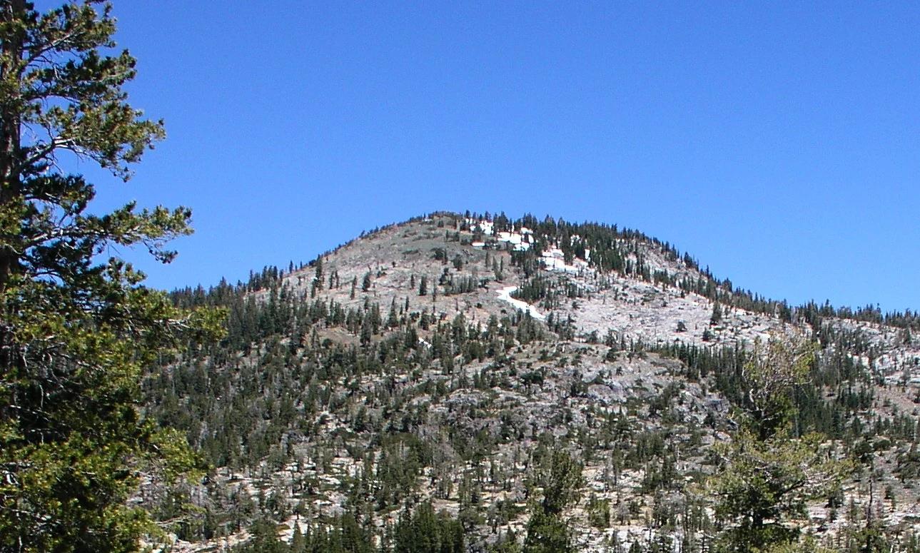
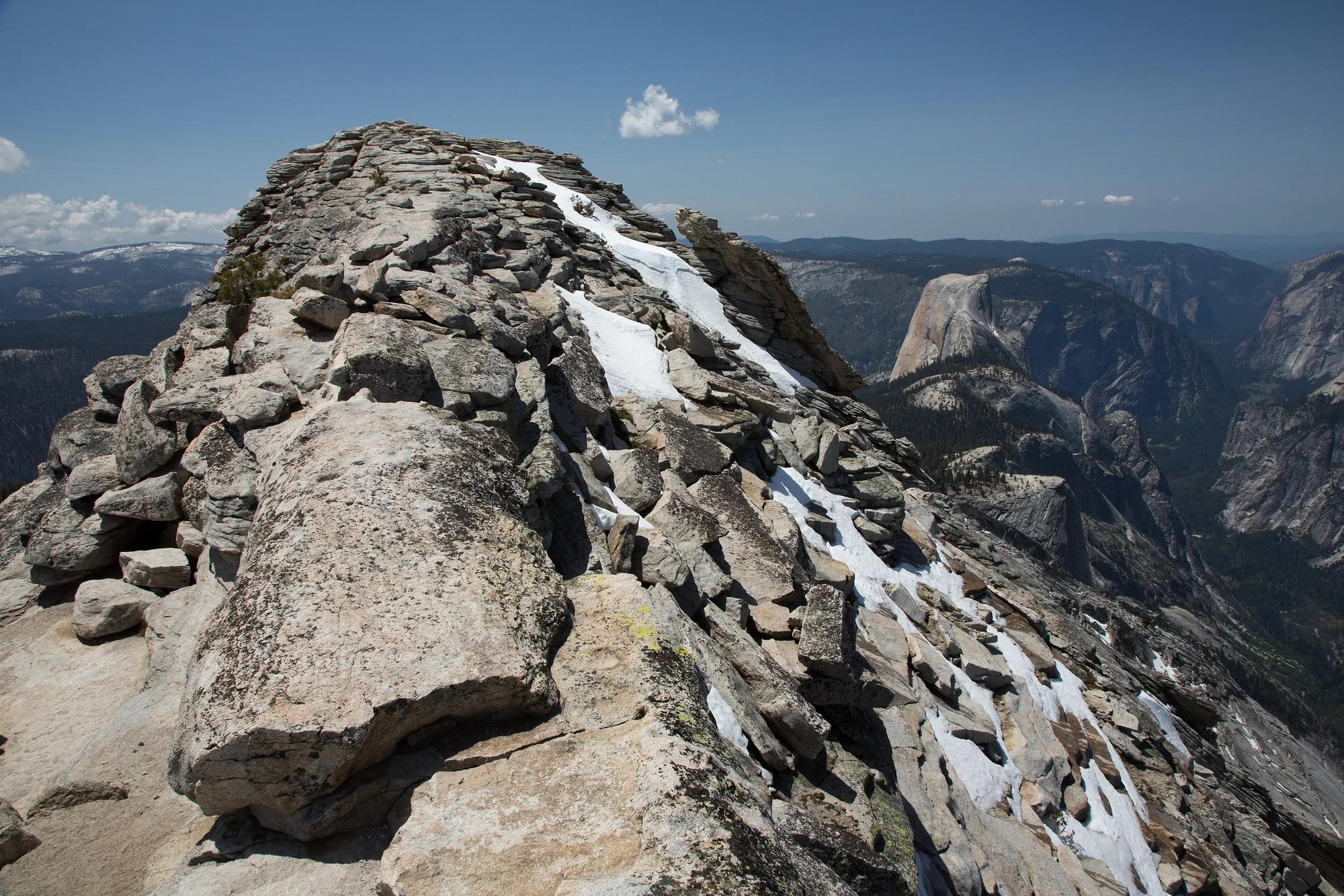
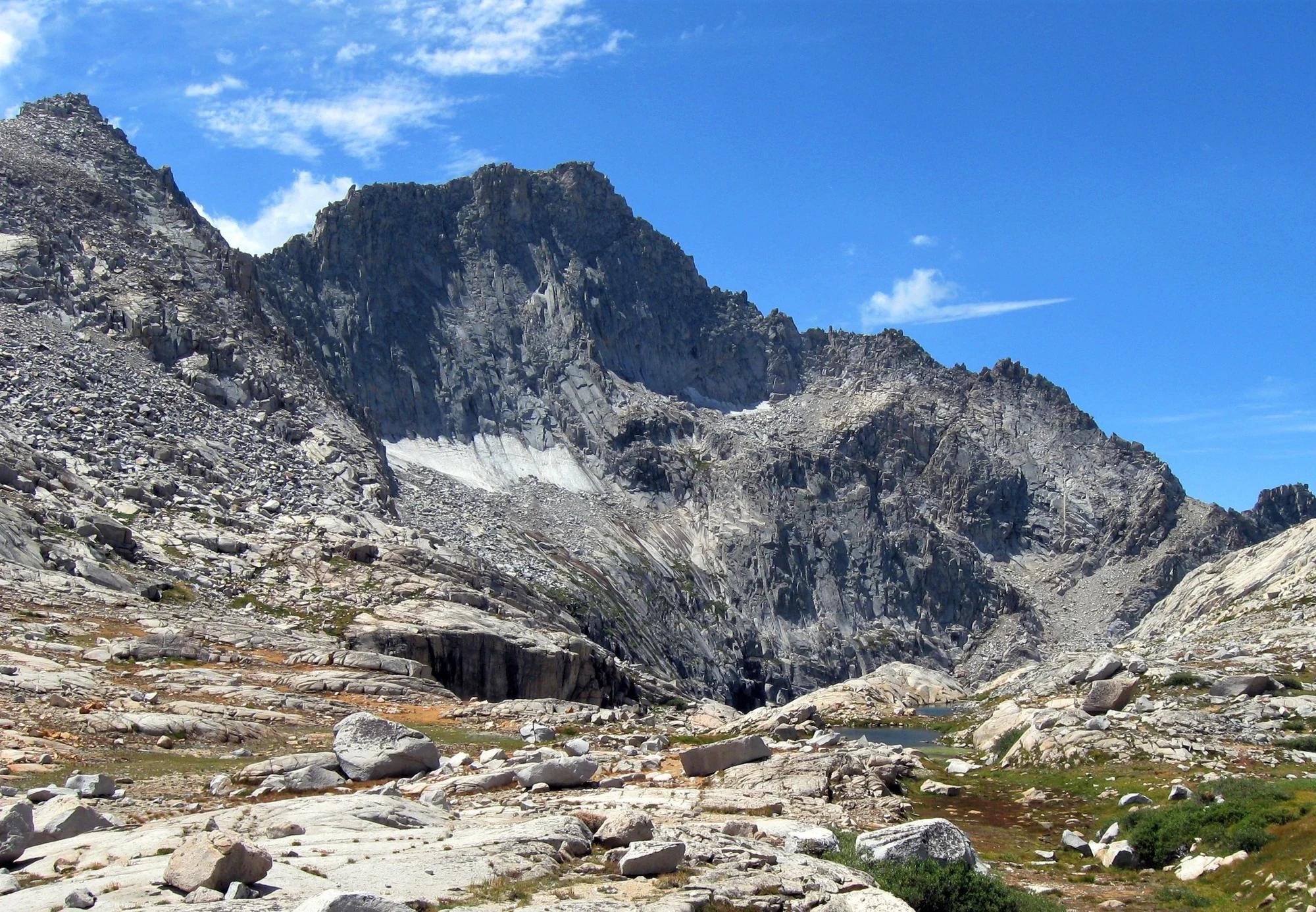
Humboldt-Toiyabe National Forest · Lake Tahoe & Northern Sierra
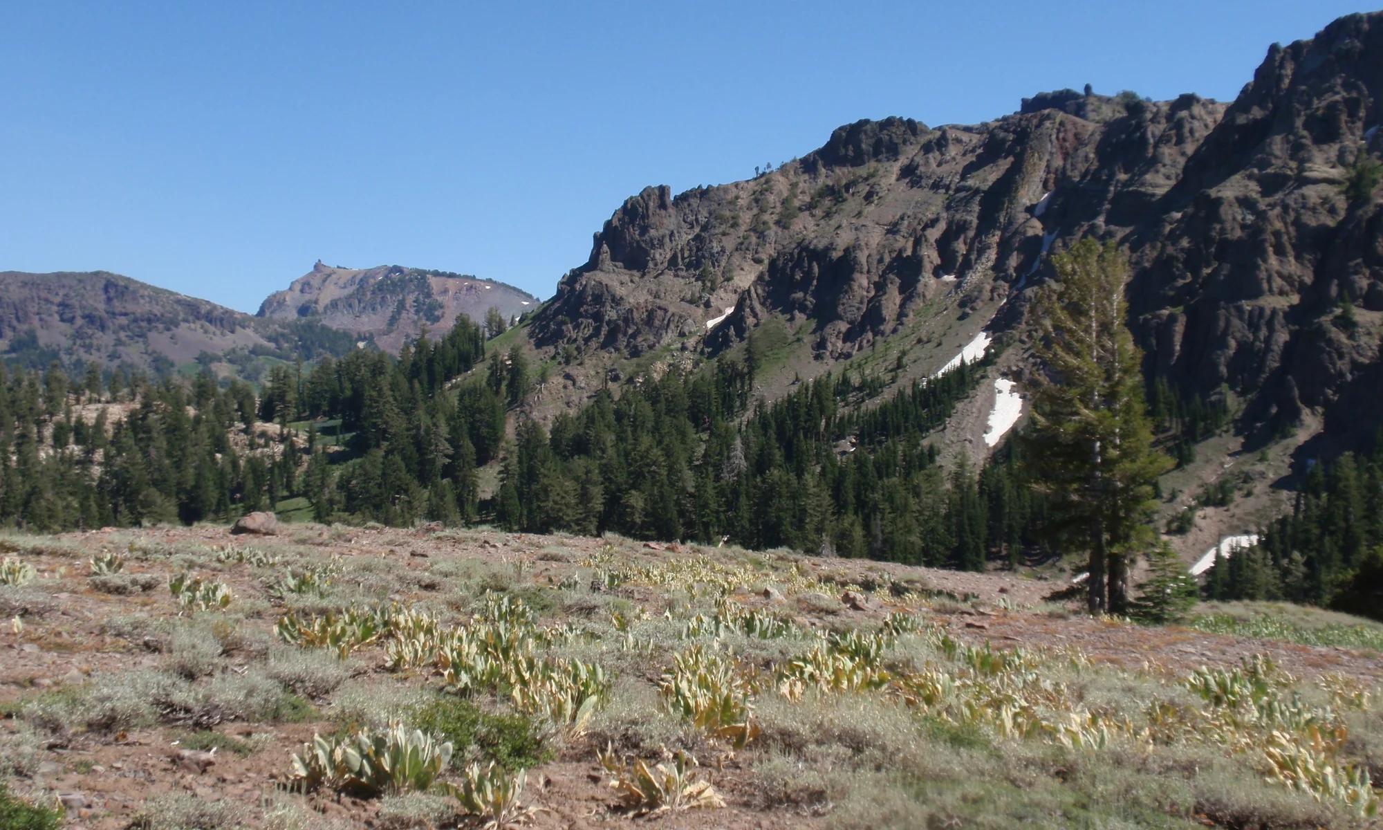
Verified California saddle at 9,643 ft in Humboldt-Toiyabe National Forest (Lake Tahoe & Northern Sierra). Linked to Pct: Sonora Pass - Dorothy Lk.
Photo: Eric in SF · CC BY-SA 3.0
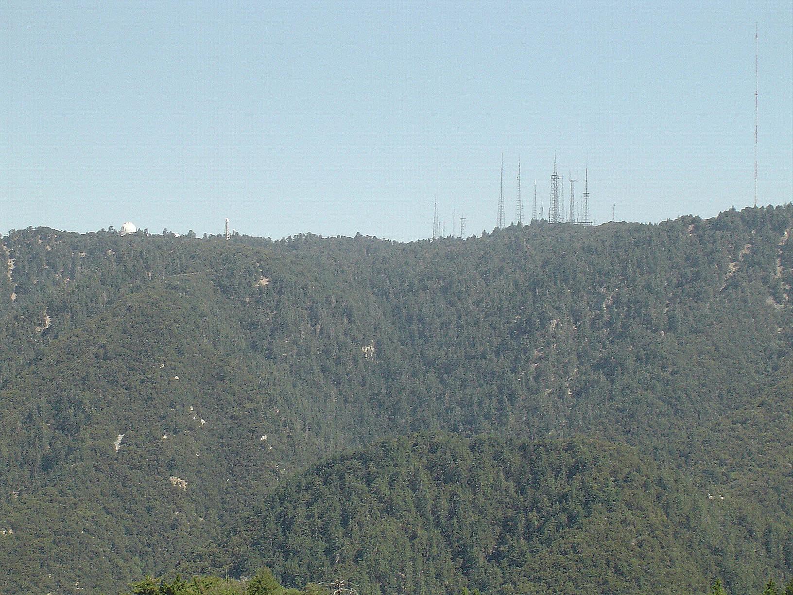
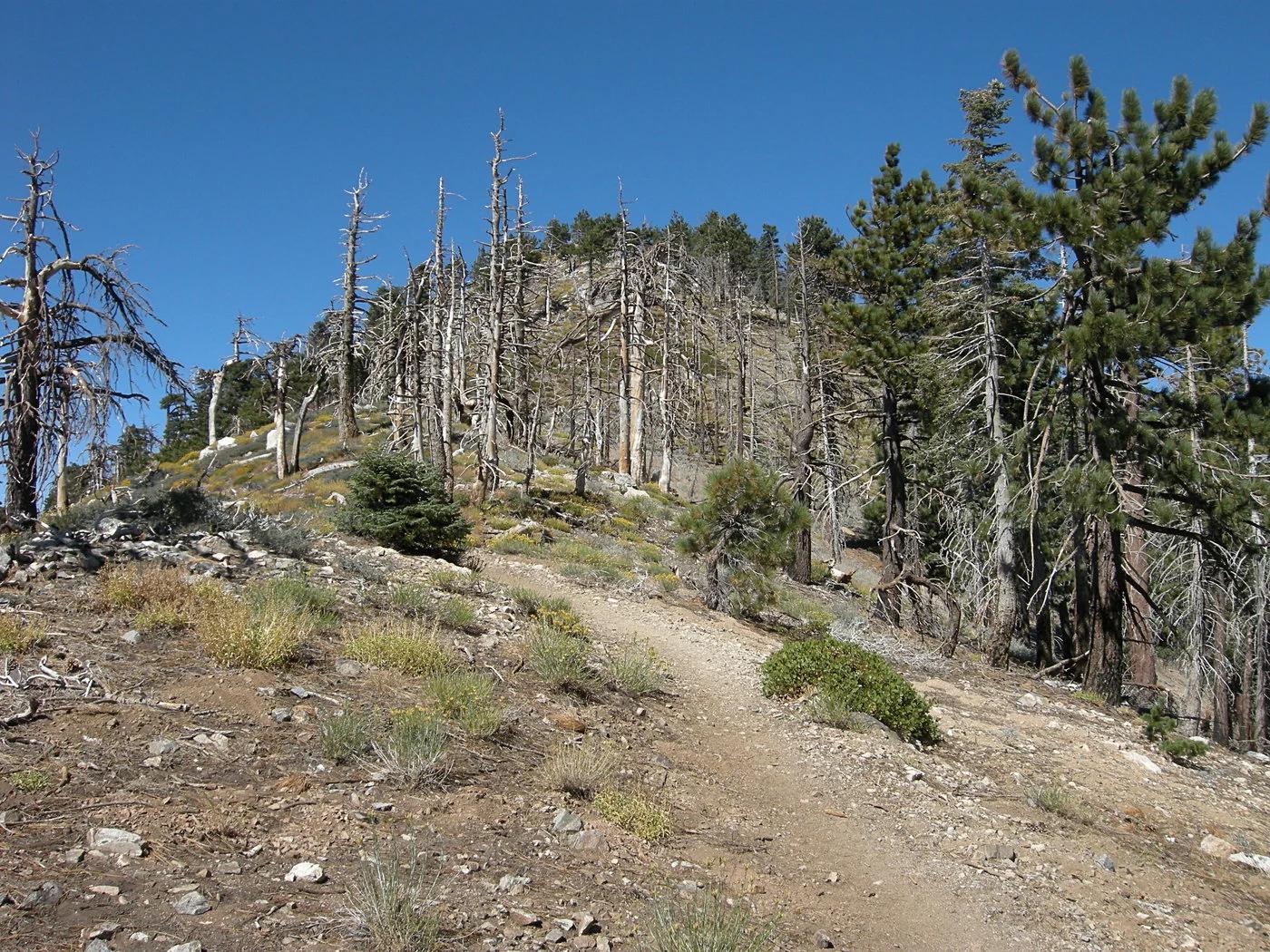
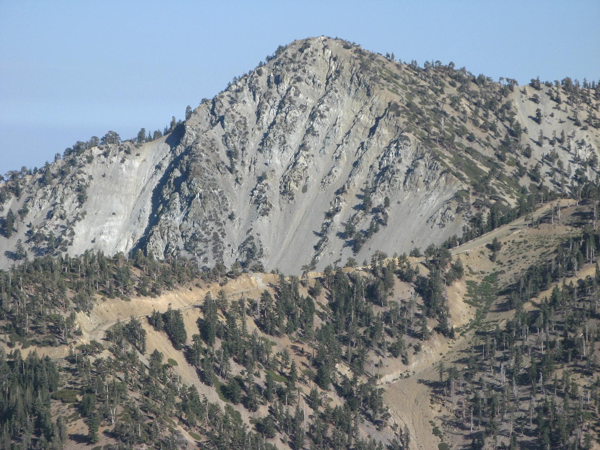
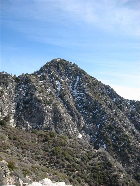
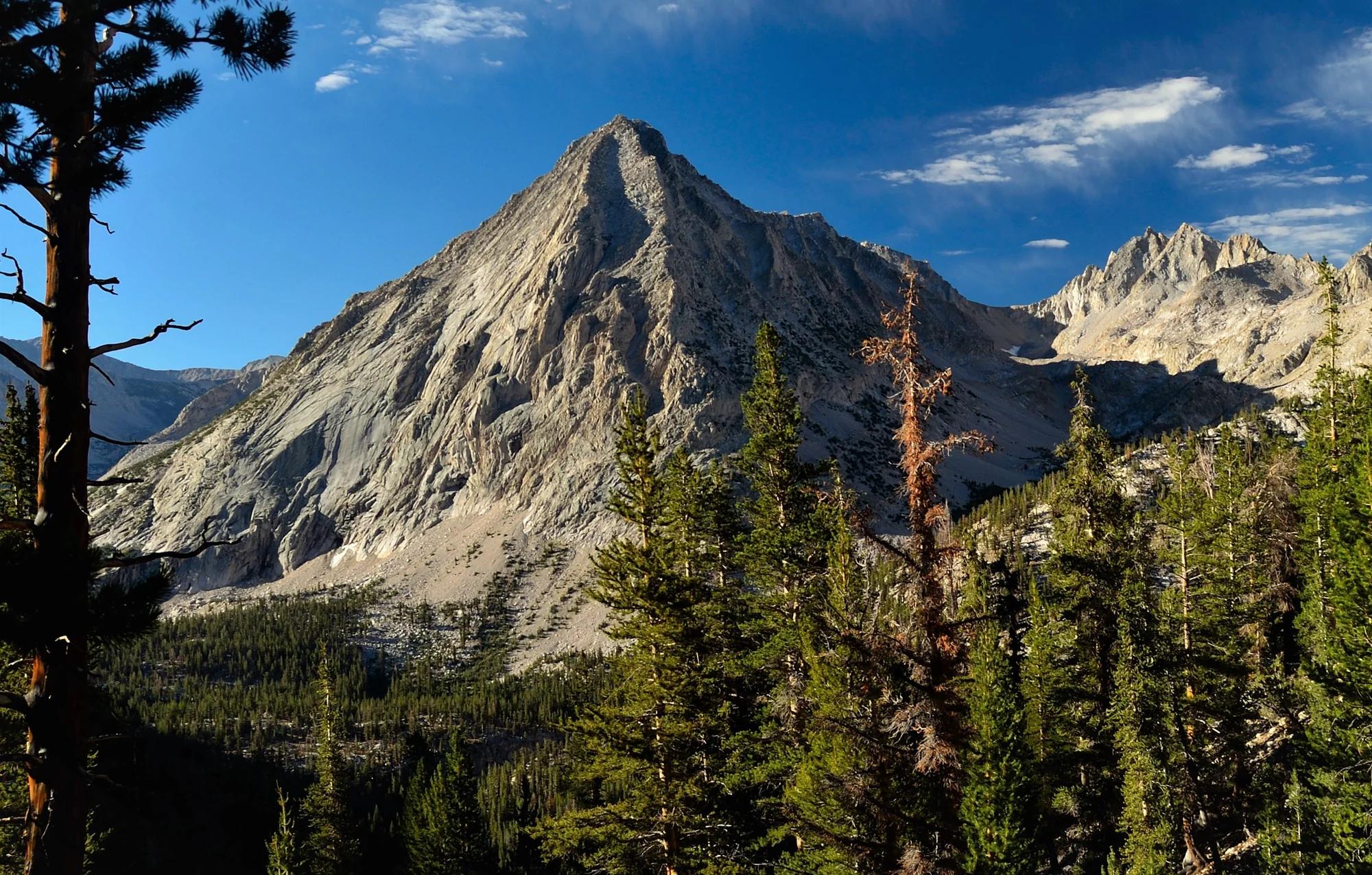
Angeles National Forest · San Gabriel Mountains
Verified California peak at 5,699 ft in Angeles National Forest (San Gabriel Mountains). Linked to Rim Trail.
Photo: The original uploader was Geographer at English Wikipedia . · CC BY 1.0
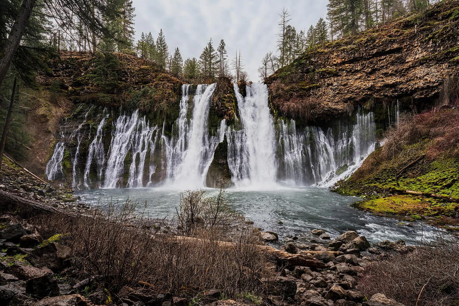
McArthur-Burney Falls Memorial State Park · Shasta Cascade
The 'Eighth Wonder of the World' (Teddy Roosevelt): a spectacular 129-foot spring-fed waterfall surrounded by pine campgrounds and picnic areas.
Photo: JonMallard10 · CC BY 4.0
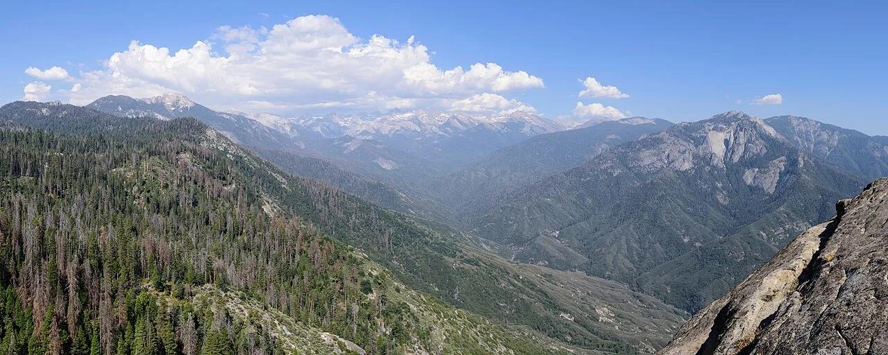
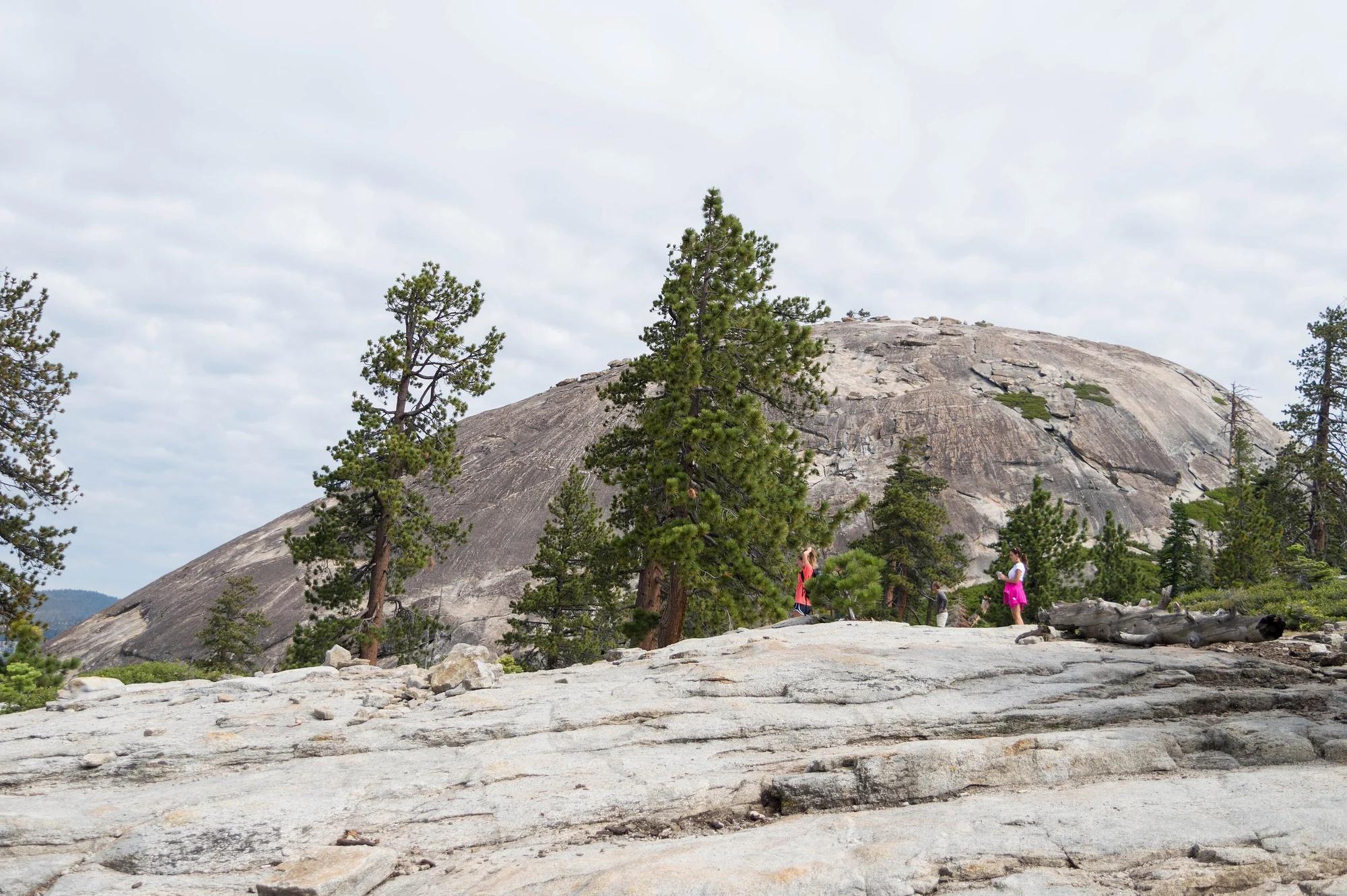
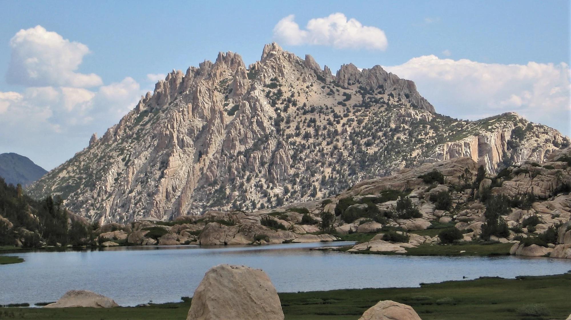
Sequoia National Park · Southern Sierra
350 stone-carved steps ascending a monolithic granite fin above the Kaweah River gorge, paired with giant sequoia groves around General Sherman.
Photo: King of Hearts · CC BY-SA 4.0