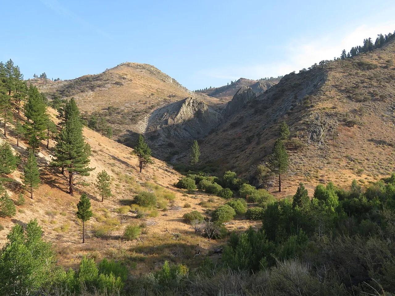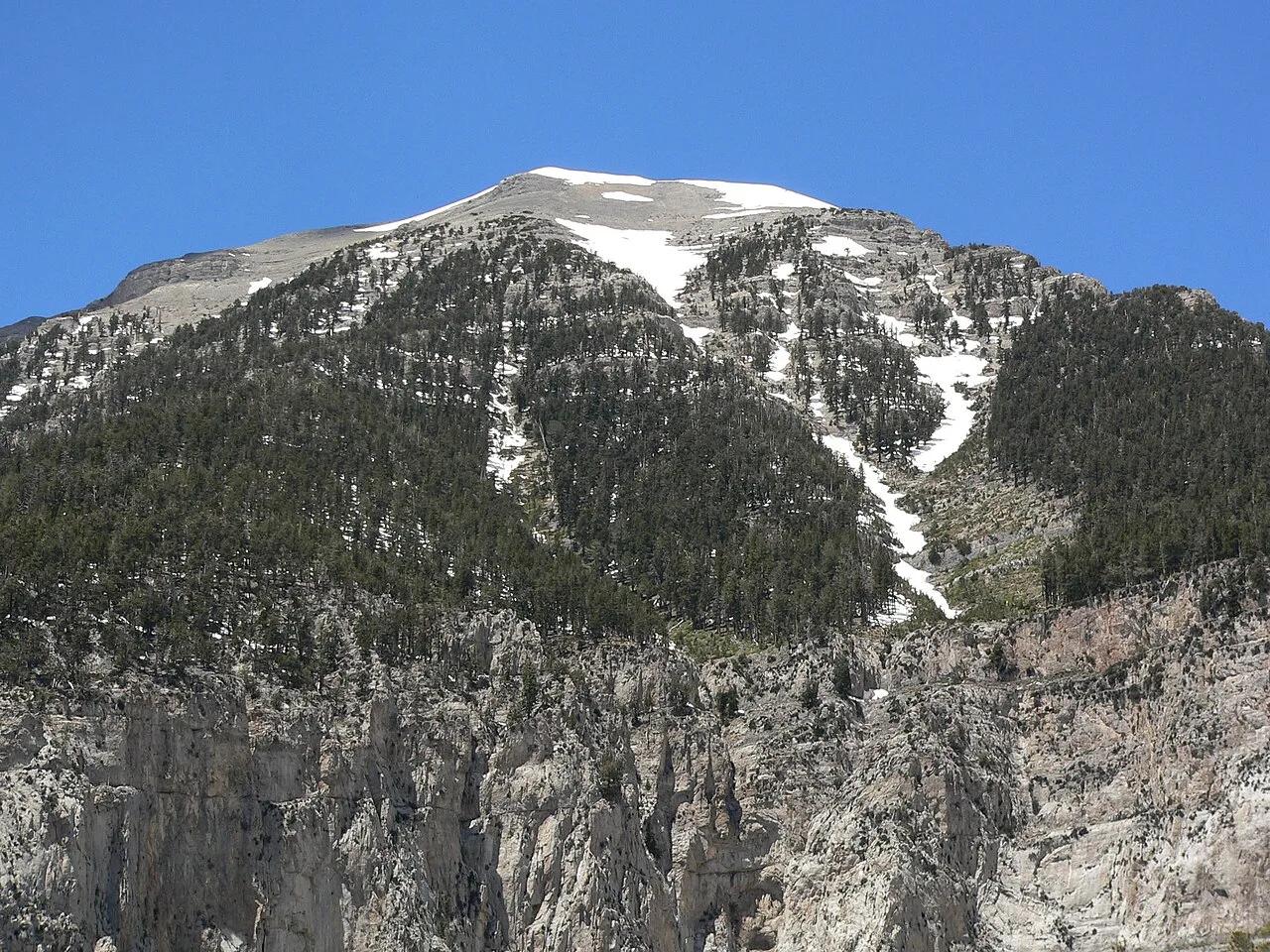
Humboldt-Toiyabe National Forest · Spring Mountains · Nevada
Mount Charleston Mary Jane Falls
Seasonal snowmelt waterfall tumbling down limestone headwalls into a cool cavern within the Spring Mountains sky island.
- Route
- 3.2 mi
- Climb
- 1,099 ft
Browse & Discover
Filter by activity, state, region, dog policy, or route effort — or use the interactive map below to find waterfalls, trails, beaches, bikeways, skateparks, and campgrounds near any location.
822 of 2,051 places
Drag to pan. Double-click, pinch or scroll to zoom. Keyboard: arrow keys and +/−. Cards below remain available.
Loading map… Browse the spot cards below at any time.

Cathedral Caverns State Park (Woodville) · Appalachian & Blue Ridge · Alabama
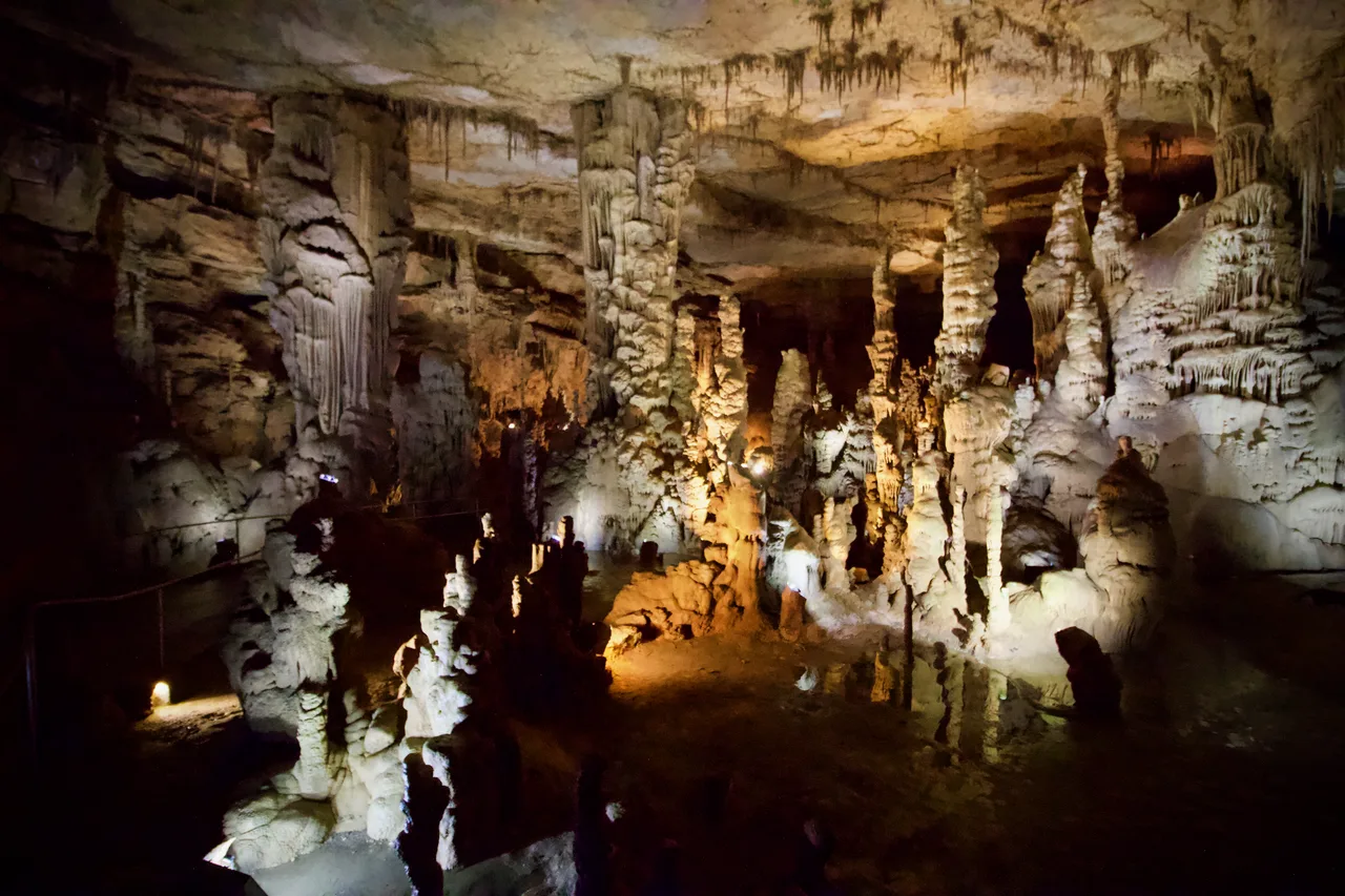
Massive 126-foot-wide, 25-foot-high cavern entrance opening into a subterranean limestone canyon housing a 45-foot stalagmite and underground waterfall.
Photo: Diegoandrade · CC BY-SA 4.0

Mount Magazine State Park (Ozark-St. Francis NF) · South & Gulf Coast · Arkansas
Highest point in Arkansas (2,753 ft) crowned by sheer sandstone hang-gliding cliffs overlooking the Petit Jean River Valley.
Photo: Yinan Chen · Public domain

Falls of the Ohio State Park · Ohio River / Clarksville · Indiana
One of the world's largest naturally exposed 390-million-year-old Devonian fossil coral beds, accessible directly on foot across Ohio River limestone ledges.
Photo: Darkstarcrashes · CC BY-SA 4.0

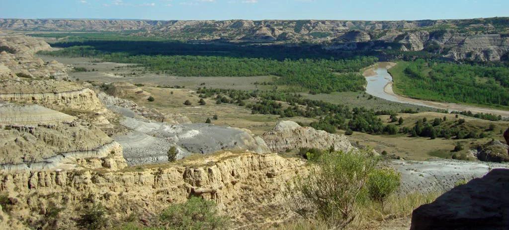
Little Missouri State Park (Killdeer) · Great Plains & Heartland · North Dakota
6,400 acres of rugged badlands hoodoos, bentonite clay domes, and juniper coulees overlooking the winding Little Missouri River.
Photo: National Park Service; uploaded by User:Finetooth · Public domain

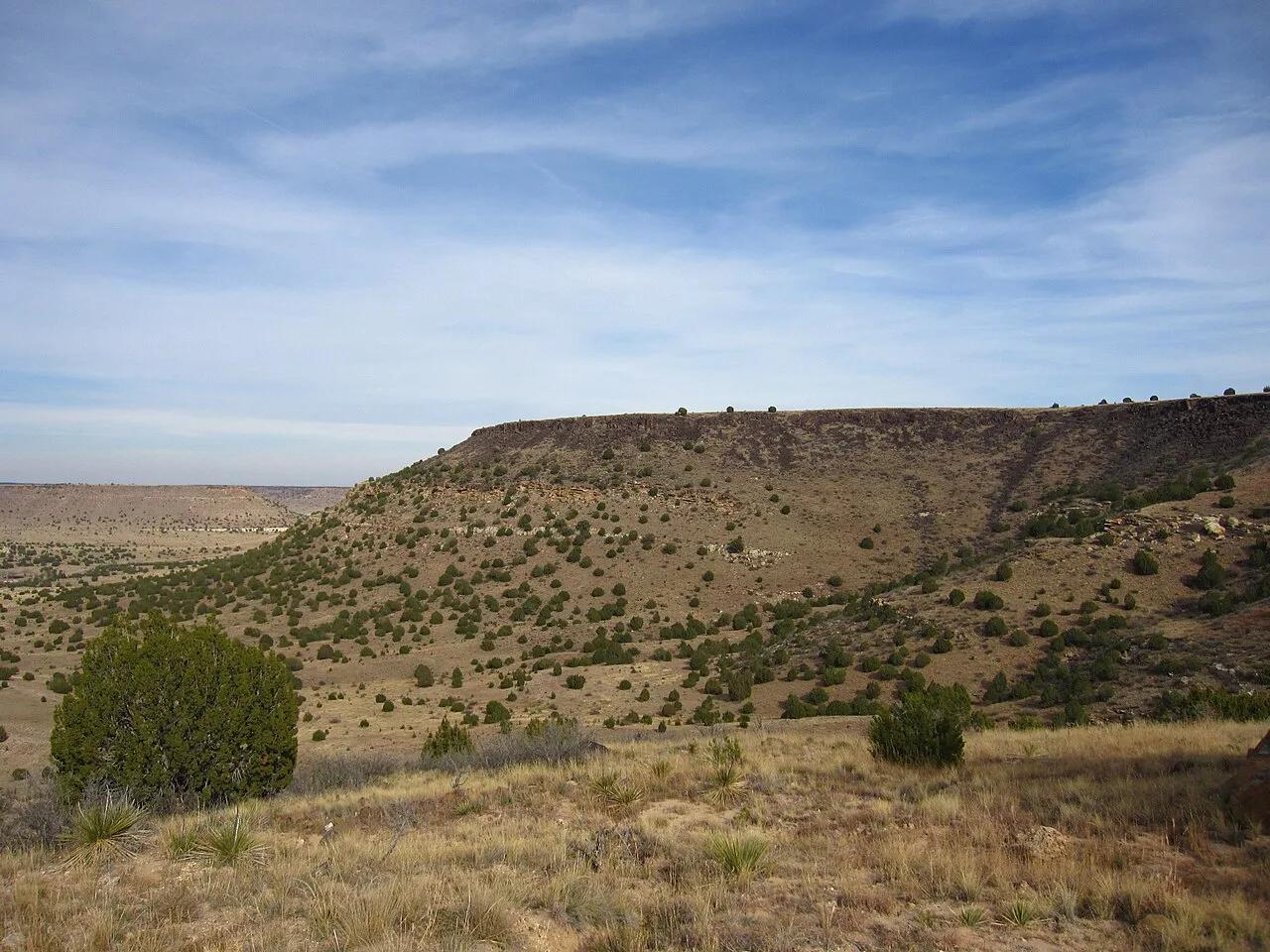
Black Mesa State Park & Nature Preserve (Kenton) · Panhandle · Oklahoma
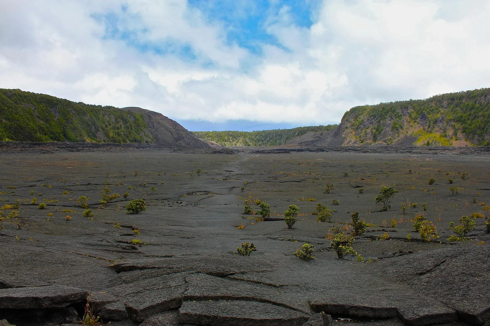
The highest point in Oklahoma (4,973 feet) atop a dramatic black basalt volcanic lava flow mesa on the tri-state border with Colorado and New Mexico.
Photo: Chris M · CC BY 2.0

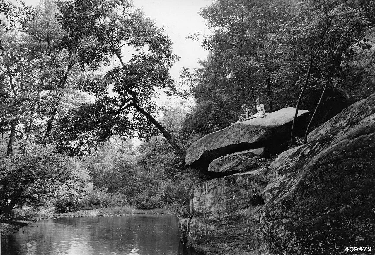
Shawnee National Forest (Ozark) · Southern Illinois / Shawnee · Illinois
Spectacular sandstone canyon featuring clear stream swimming pools, a 125-foot natural stone bridge, and the soaring fin of Devil's Backbone.
Photo: Unknown authorUnknown author or not provided · Public domain

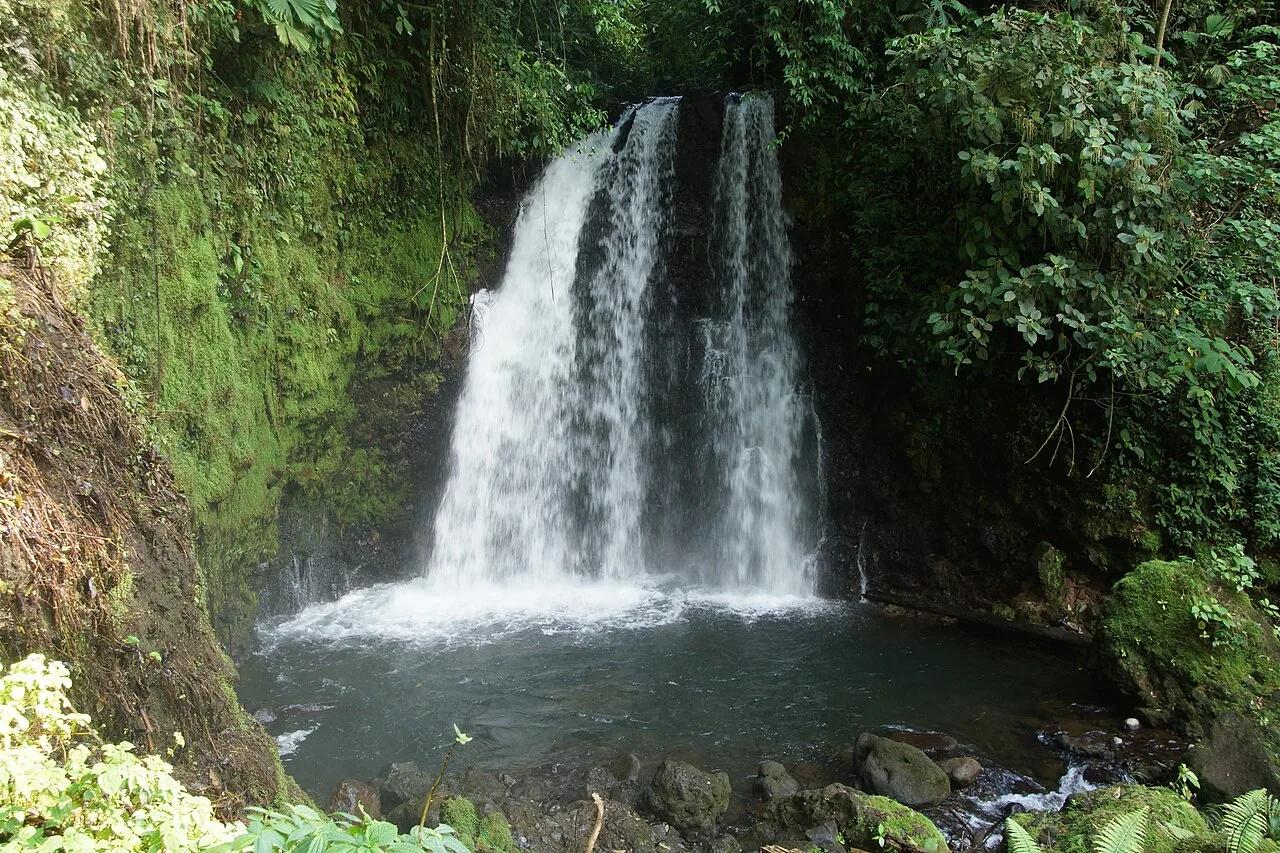
Tenorio Volcano National Park · Mexico & Central America · Costa Rica
Cloud-forest waterfall plunging into a neon sky-blue lagoon where two volcanic mineral rivers mix at the Teñideros.
Photo: rob Stoeltje from loenen, netherlands · CC BY 2.0

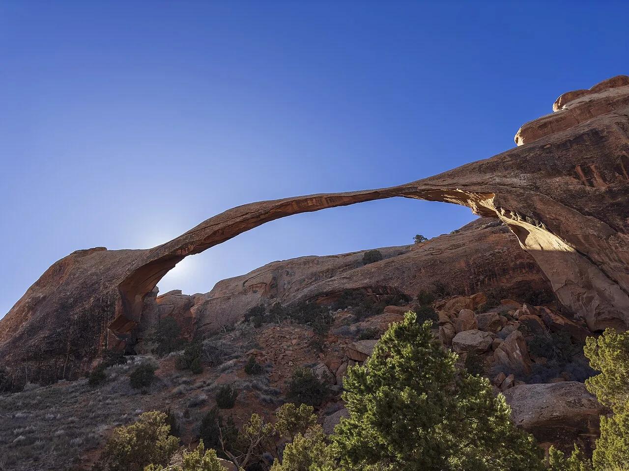
Arches National Park (Moab) · Colorado Plateau · Utah
Slickrock sandstone fins connecting eight natural arches—anchored by 306-foot Landscape Arch, the longest natural rock span in North America.
Photo: GyozaDumpling · CC BY 4.0

Milo McIver State Park · Pacific Northwest · Oregon
The revered venue for the Beaver State Fling, boasting 36 championship holes rolling along the banks of the Clackamas River.
Photo: David Burn from Austin, TX, USA · CC BY-SA 2.0

Pisgah National Forest · Appalachian & Blue Ridge · North Carolina
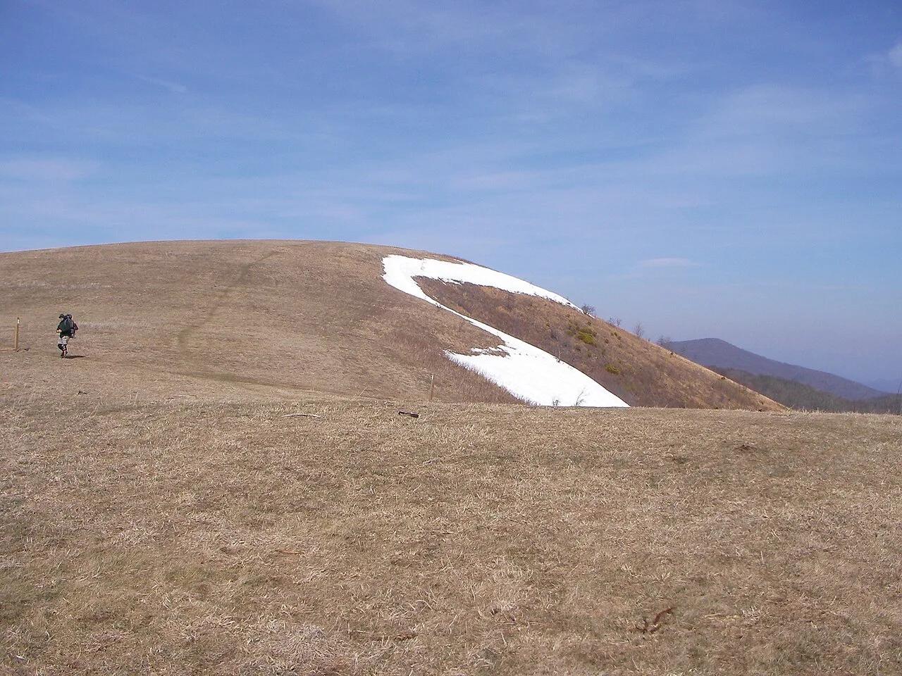
350-acre open mountaintop meadow along the Appalachian Trail offering unobstructed views from Mount Mitchell to the Great Smoky Mountains.
Photo: User:Washedwithblood7 · Public domain

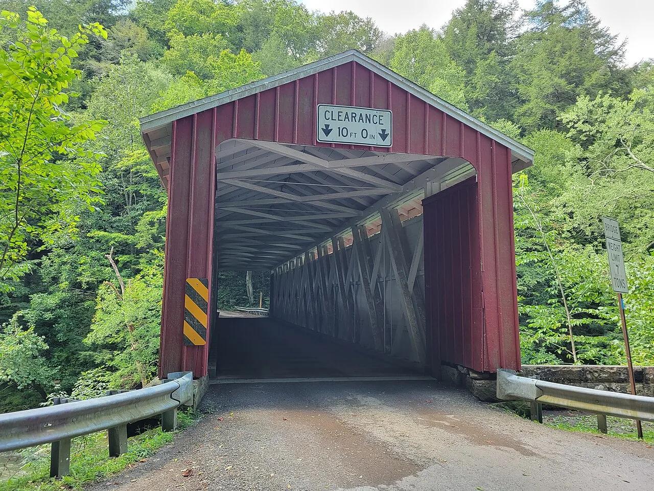
McConnells Mill State Park · Western Pennsylvania · Pennsylvania
A National Natural Landmark gorge featuring 100-foot sandstone cliffs, Class IV-V rapids, Alpha Falls, and an operating 1852 gristmill.
Photo: Simplysites · CC BY 4.0

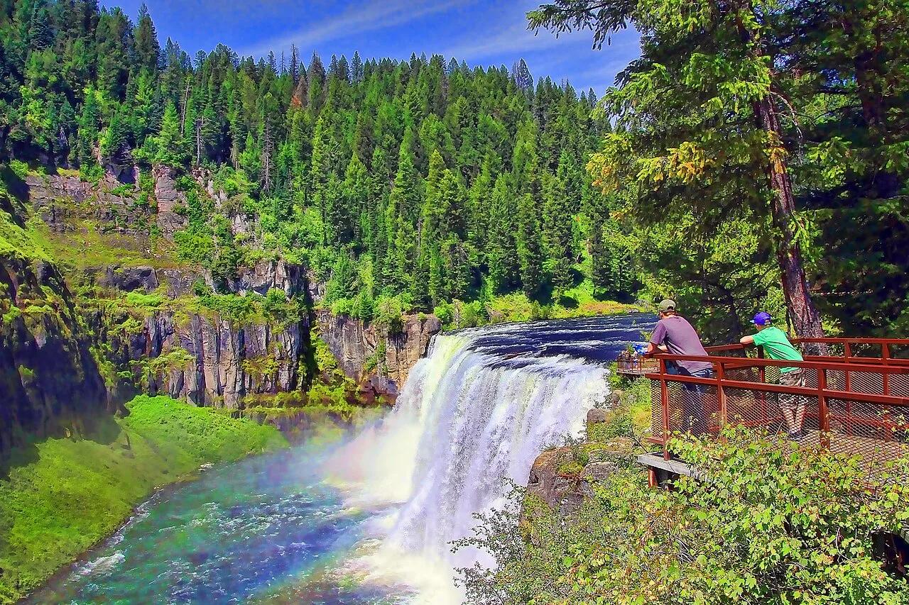
Caribou-Targhee National Forest · Eastern Idaho · Idaho
Last remaining major waterfalls on the Columbia River system undisturbed by damming, crashing over 100 feet of ancient volcanic rock.
Photo: Brenton Cooper from North Ogden, USA · CC BY 2.0

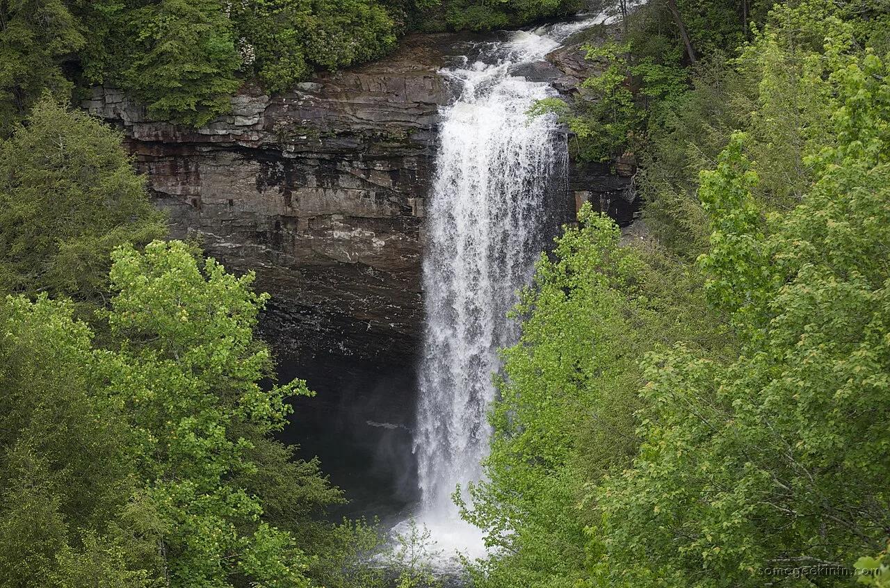
South Cumberland State Park · Appalachian & Blue Ridge · Tennessee
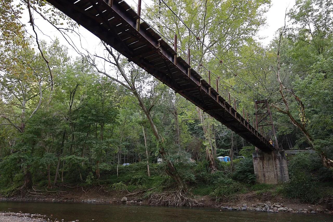
60-foot waterfall plunging into a deep turquoise hemlock-shaded swimming hole crossed by a suspension footbridge along the Fiery Gizzard Trail.
Photo: Casey Fleser (Flickr user somegeekintn) · CC BY 2.0

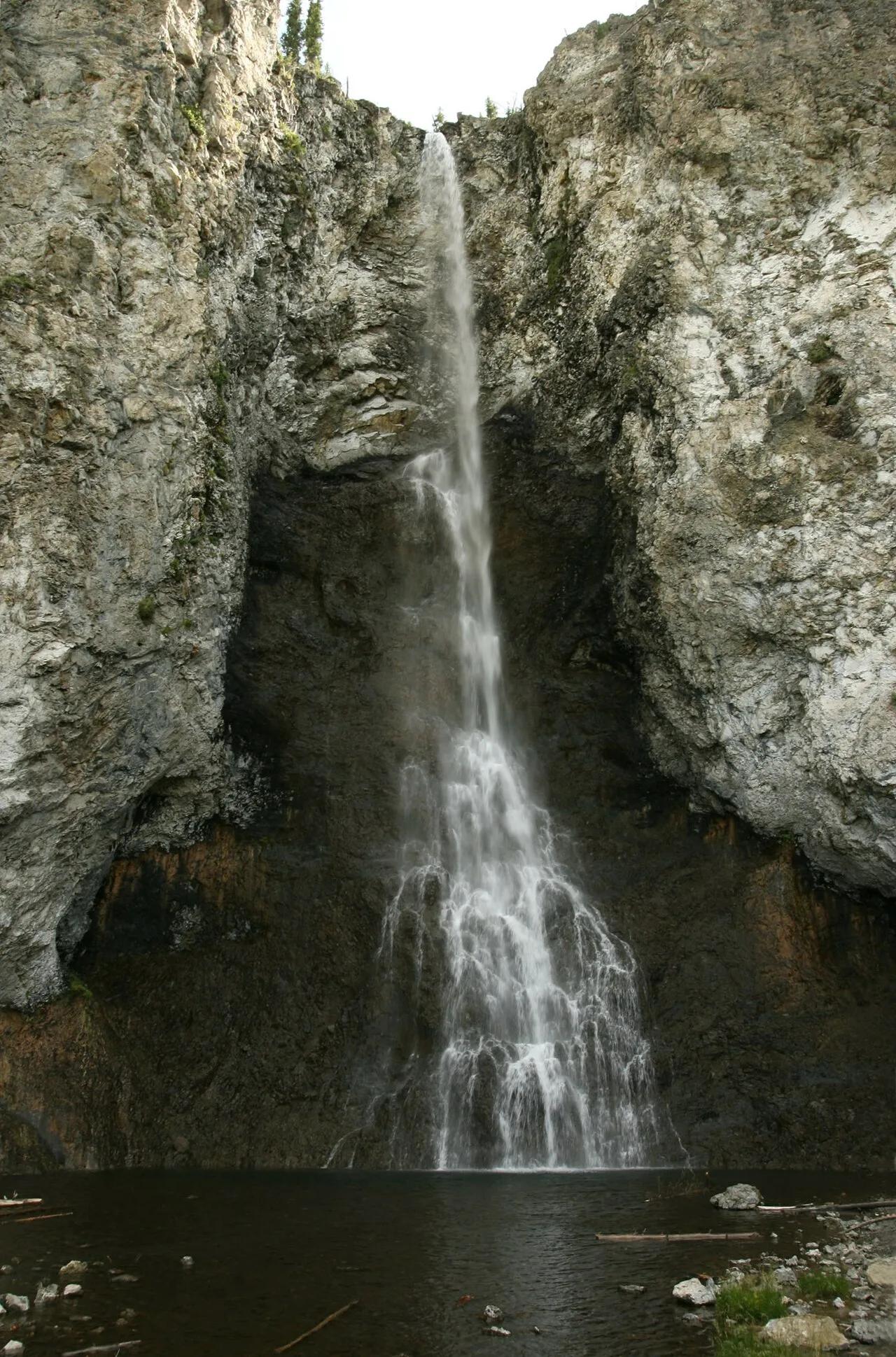
Yellowstone National Park · Yellowstone · Wyoming
Graceful 197-foot waterfall tumbling down steep rhyolite cliffs leading to a bubbling, vibrantly colored thermal geyser.
Photo: Yellowstone National Park from Yellowstone NP, USA · Public domain

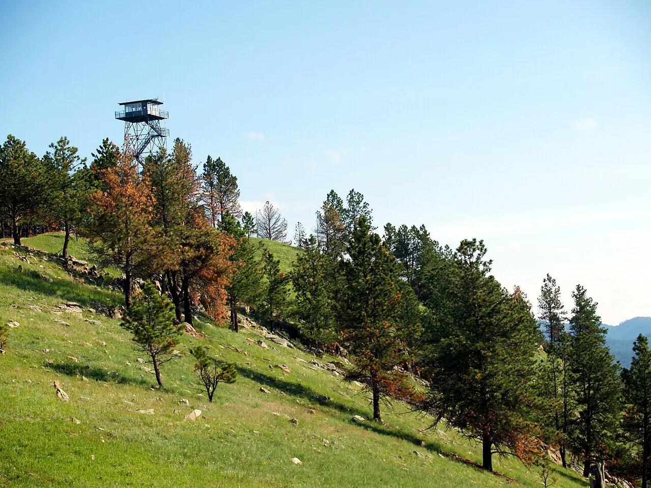
Wind Cave National Park · Southern Black Hills · South Dakota
The highest point in Wind Cave National Park (5,013 feet), crowned by a historic fire lookout tower with panoramic vistas across the mixed-grass prairie and bison range.
Photo: NPS Photo · Public domain

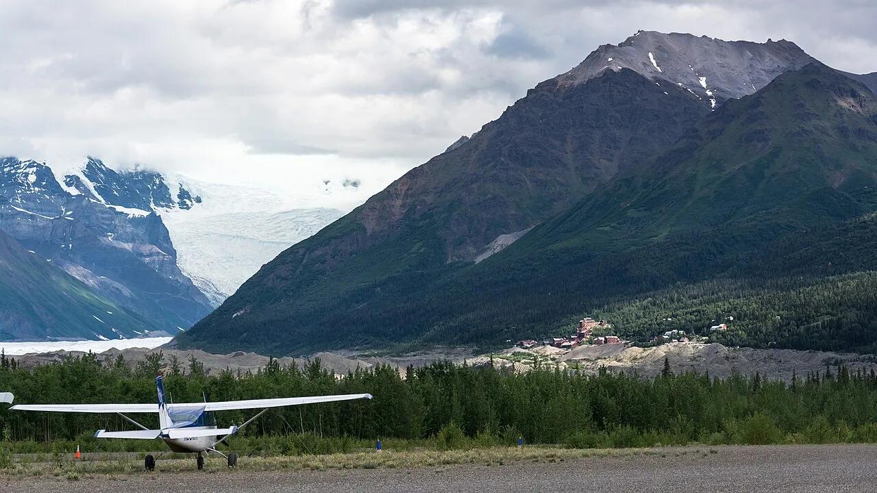
Wrangell-St. Elias National Park and Preserve · Wrangell-St. Elias · Alaska
Incredible wilderness trek from the 14-story historic copper mill directly onto the white ice, blue pools, and moulins of Root Glacier.
Photo: Christoph Strässler from Oberdorf BL, Schweiz · CC BY-SA 2.0

Odiorne Point State Park · Seacoast Region · New Hampshire
The longest undeveloped stretch of coast in New Hampshire features rocky intertidal shelves, prehistoric sunken forests, and salt marshes.
Photo: gailf548 from New York State, USA · CC BY 2.0

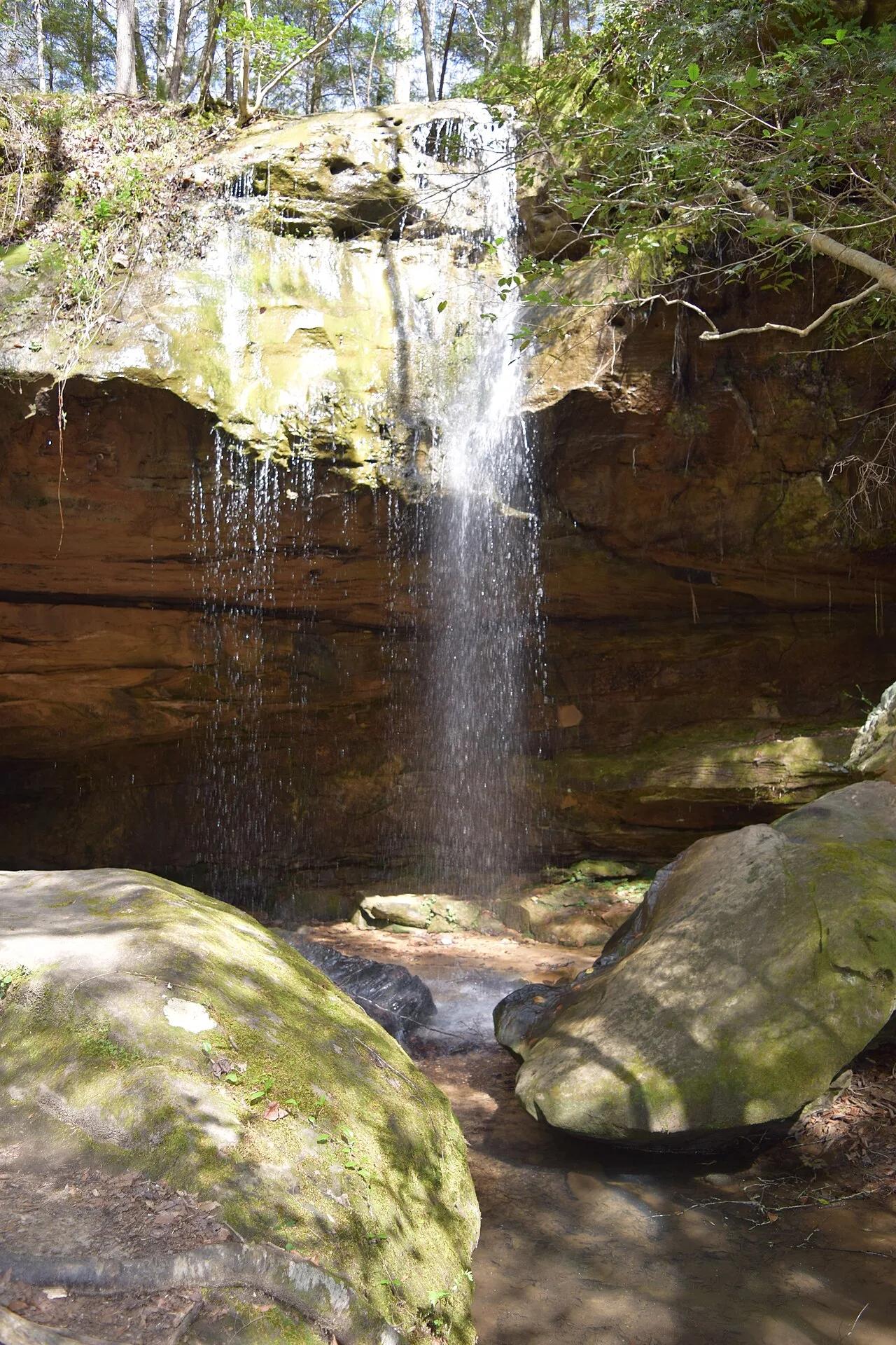
Bankhead National Forest (Land of 1,000 Waterfalls) · Appalachian & Blue Ridge · Alabama
Spring-fed curved sandstone amphitheater waterfall hidden inside the mossy hemlock box canyons of the Sipsey Wilderness.
Photo: Fredlyfish4 · CC BY-SA 4.0

Ozark-St. Francis National Forest (Fifty-Six) · South & Gulf Coast · Arkansas
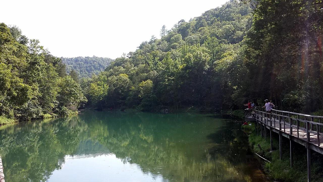
Turquoise spring emerging from a living limestone cavern and cascading over a historic 1930s CCC stone mill dam into trout-filled Mirror Lake.
Photo: Brandonrush · CC BY-SA 4.0

Spring Mill State Park (Mitchell) · Midwest & Great Lakes · Indiana
Subterranean karst stream rushing out of the monumental limestone mouth of Donaldson Cave through virgin old-growth white oak forest.
Photo: No machine-readable author provided. Rosebud3606 assumed (based on copyright ... · Public domain

Ouachita National Forest (Talihina) · Ouachita Mountains · Oklahoma
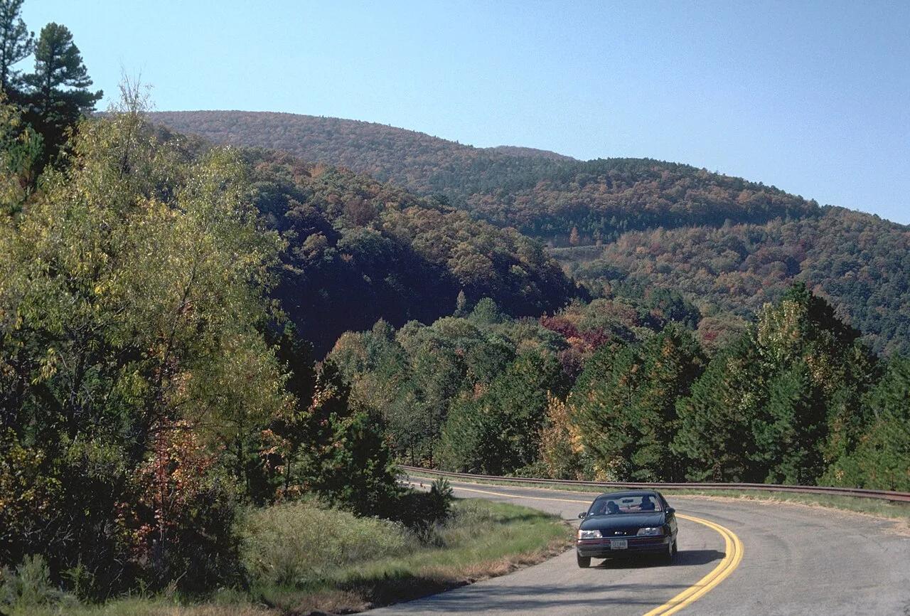
Panoramic ridgecrest spine of the ancient Ouachita Mountains along the Talimena National Scenic Byway, commanding vistas across emerald oak-pine valleys.
Photo: Unknown authorUnknown author or not provided · Public domain

Greenbrier River Trail State Park · Appalachian & Blue Ridge · West Virginia
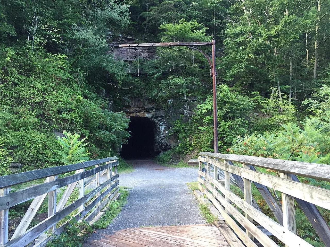
78-mile crushed-limestone rail-trail hugging the free-flowing Greenbrier River through two mountain tunnels and 35 bridges.
Photo: Brian M. Powell · CC BY-SA 4.0