Glacier National Park · Yellowstone, Tetons & Northern Rockies · Montana
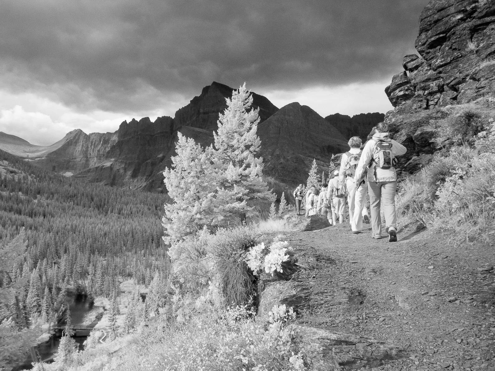
Grinnell Glacier Trail
Ascends the Many Glacier Valley past emerald lakes to the terminus moraine and floating icebergs of Upper Grinnell Lake.
- Route
- 10.6 mi
- Climb
- 1,640 ft
Browse & Discover
Filter by activity, state, region, dog policy, or route effort — or use the interactive map below to find waterfalls, trails, beaches, bikeways, skateparks, and campgrounds near any location.
729 of 2,051 places
Drag to pan. Double-click, pinch or scroll to zoom. Keyboard: arrow keys and +/−. Cards below remain available.
Loading map… Browse the spot cards below at any time.

Glacier National Park · Yellowstone, Tetons & Northern Rockies · Montana
Ascends the Many Glacier Valley past emerald lakes to the terminus moraine and floating icebergs of Upper Grinnell Lake.
Photo: Greg Willis from Denver, CO, usa · CC BY-SA 2.0

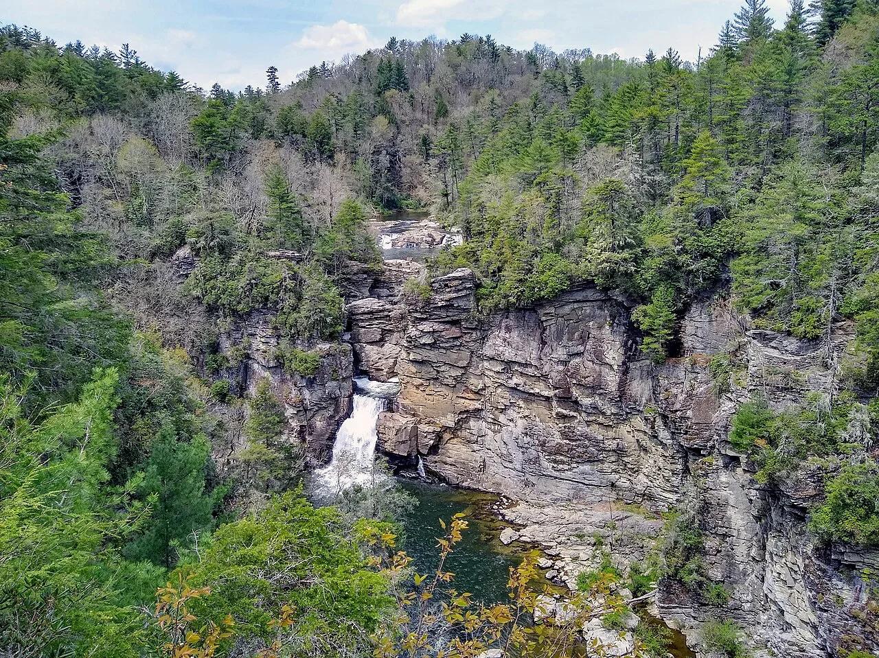
Blue Ridge Parkway / Pisgah National Forest · Appalachian & Blue Ridge · North Carolina
Three-tiered waterfall roaring into the 2,000-foot-deep Linville Gorge—the 'Grand Canyon of the Southern Appalachians.'
Photo: P. Hughes · CC BY-SA 4.0

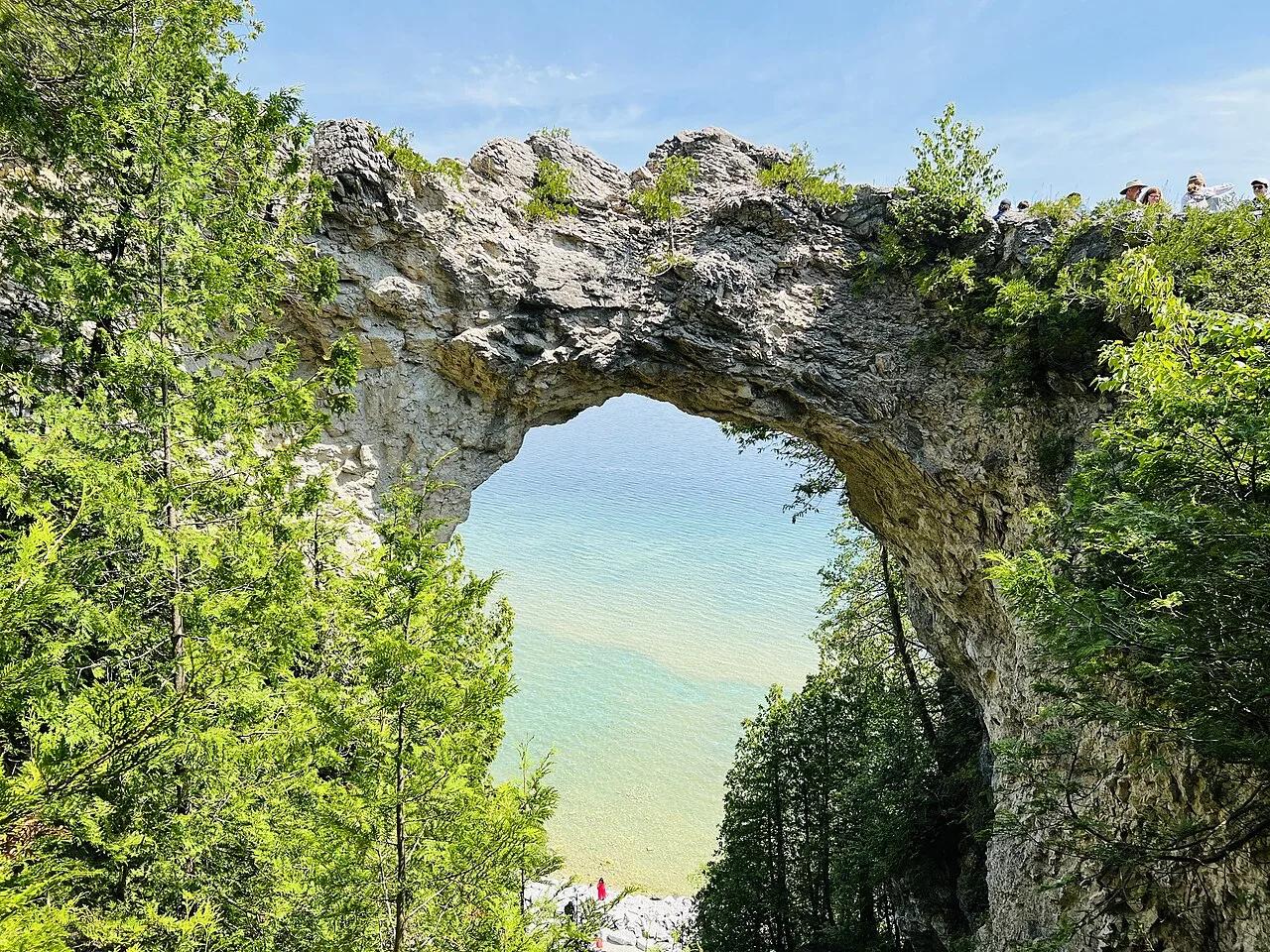
Mackinac Island State Park · Midwest & Great Lakes · Michigan
Car-free 8.2-mile shoreline bicycle highway circling Lake Huron limestone bluffs and the 146-foot natural breccia span of Arch Rock.
Photo: Rupashibangla · Public domain

Presque Isle State Park (Lake Erie) · Midwest & Great Lakes · Pennsylvania
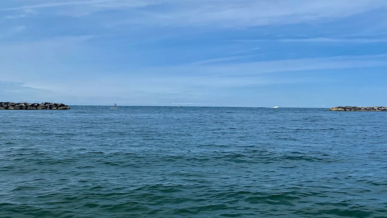
13.5-mile paved coastal peninsula loop connecting sandy Lake Erie surf beaches, lagoons, and historic lighthouses.
Photo: Andre Carrotflower · CC BY-SA 4.0

Idaho Panhandle National Forests · Rocky Mountains · Idaho
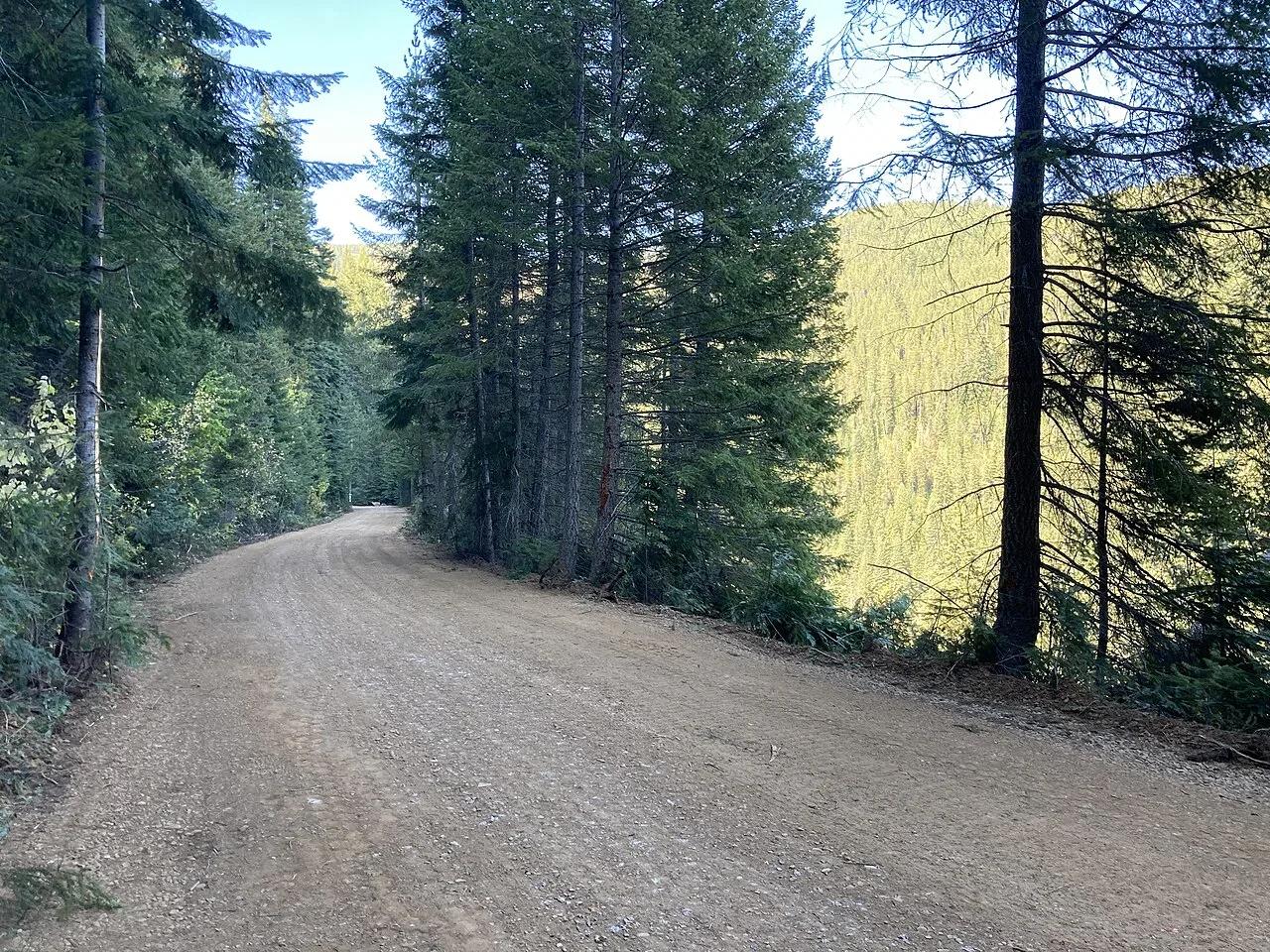
15-mile rail-to-trail mountain bike ride through 10 dark railroad tunnels—including the 1.66-mile Taft Tunnel—and 7 sky-high steel trestles.
Photo: Forest Service - Northern Region · Public domain

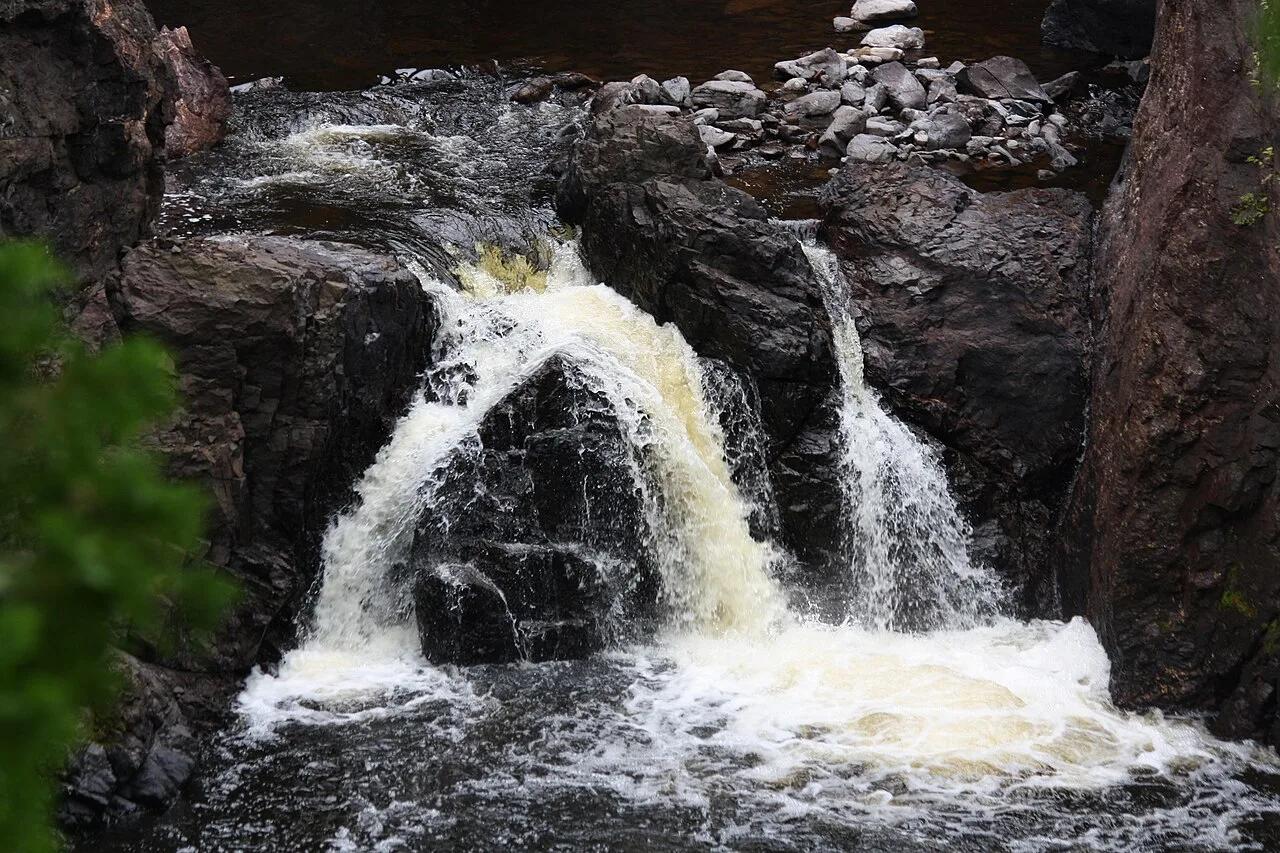
Tettegouche State Park · North Shore · Minnesota
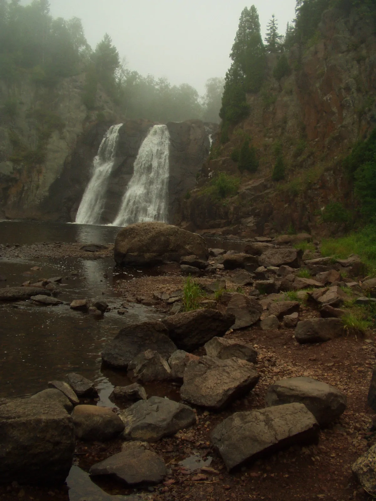
The highest waterfall entirely within Minnesota at 60 feet, roaring through a jagged basalt canyon crossed by an iconic suspension bridge.
Photo: Rufus Sarsaparilla at English Wikipedia · Public domain

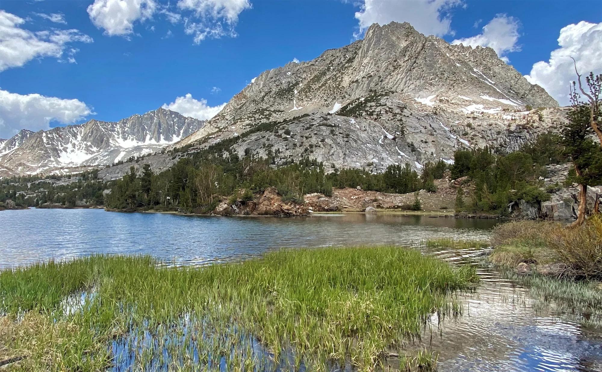
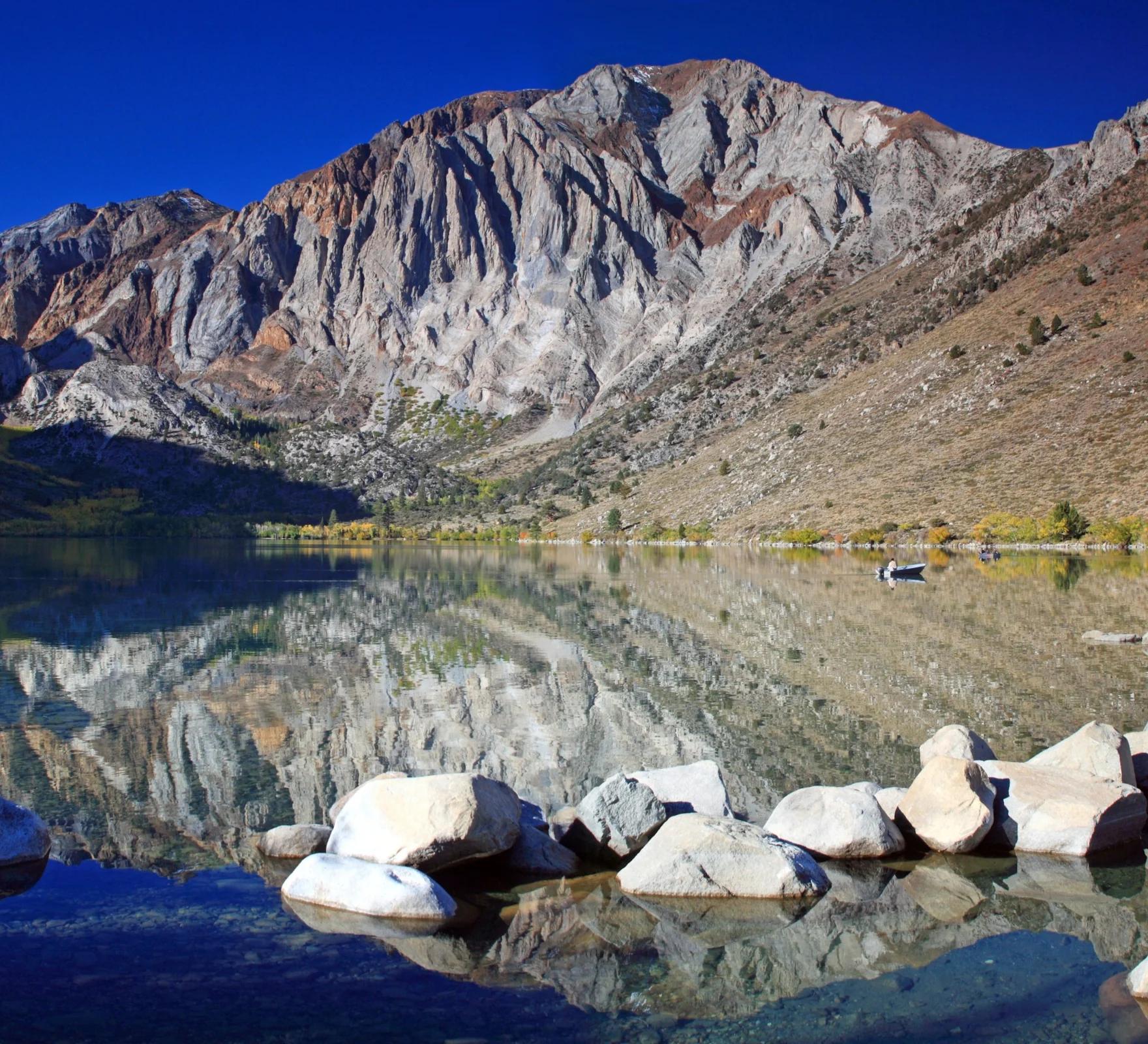
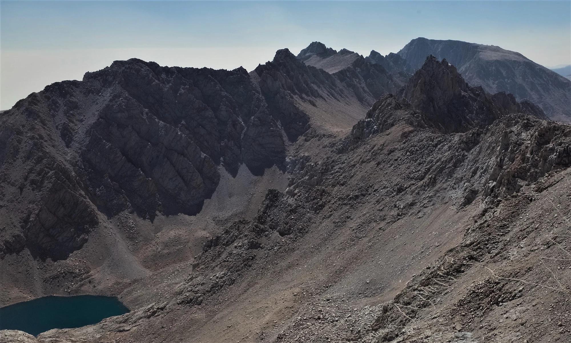
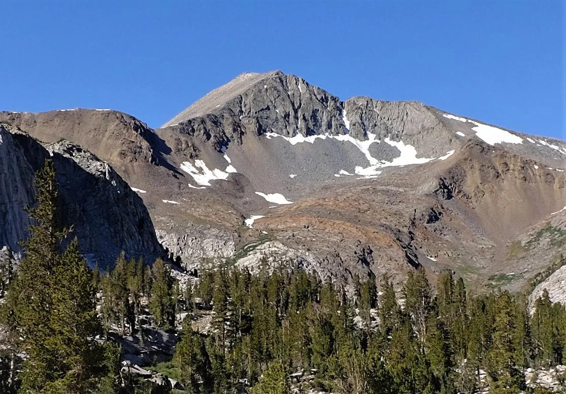
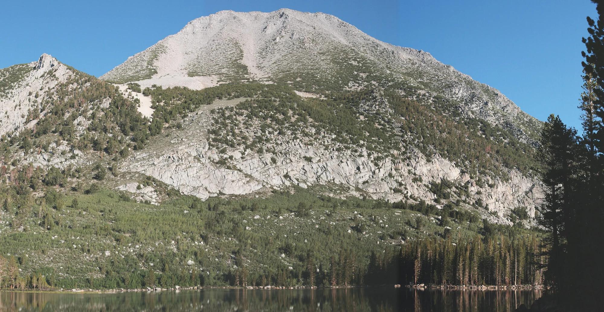
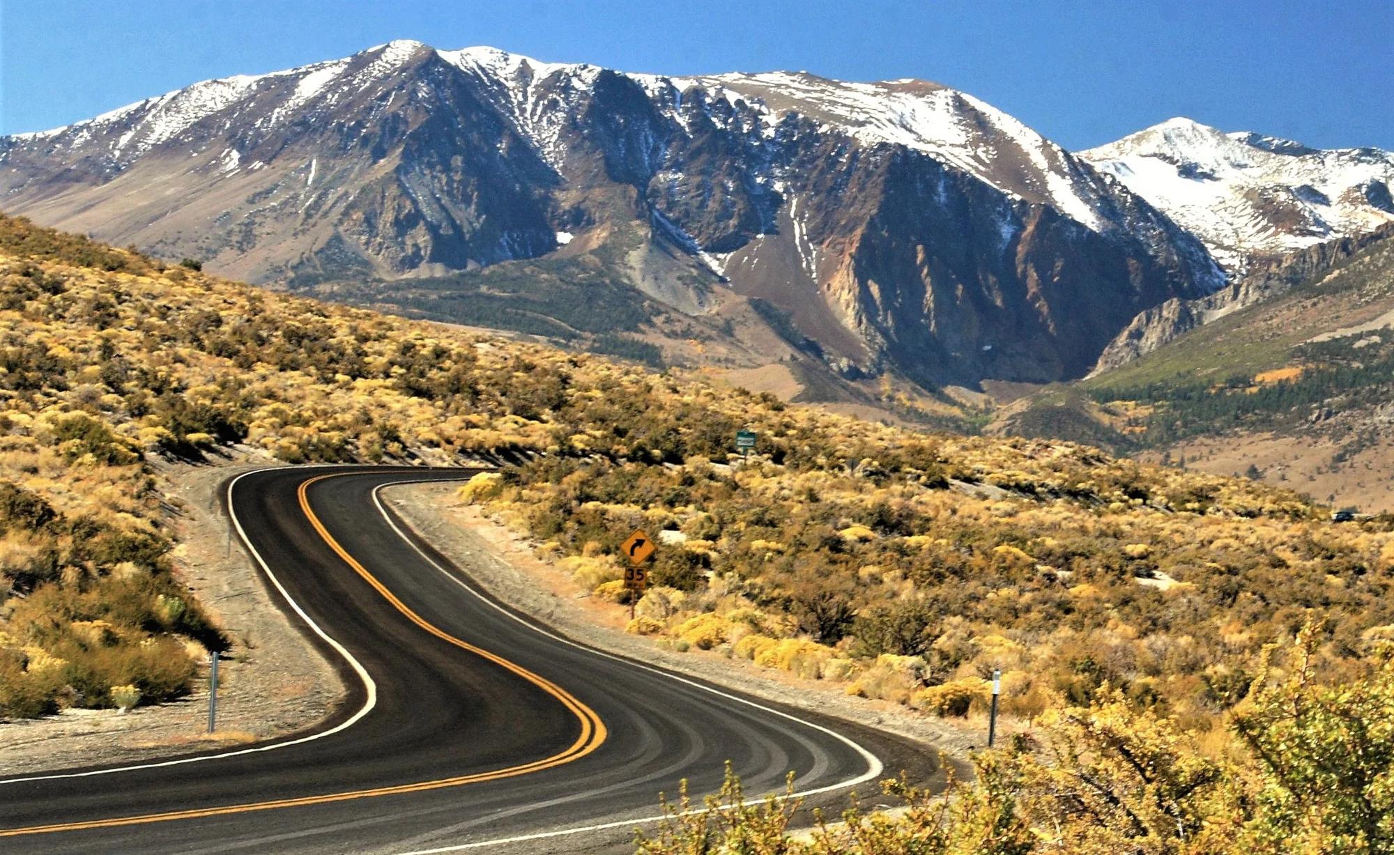
Inyo National Forest · Yosemite & Central Sierra
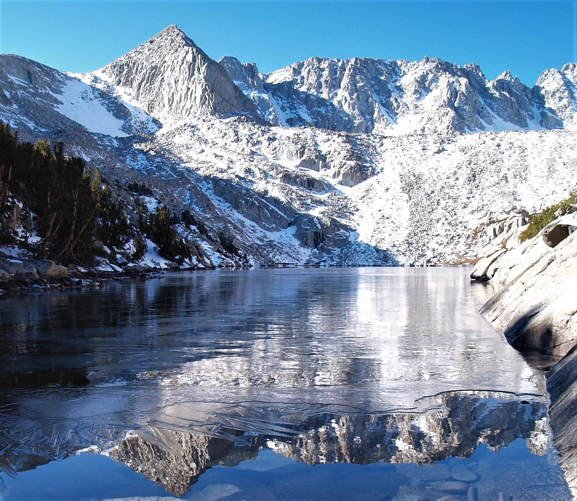
Verified California peak at 11,824 ft in Inyo National Forest (Yosemite & Central Sierra).
Photo: Frank Kovalchek from Anchorage, Alaska, USA · CC BY 2.0

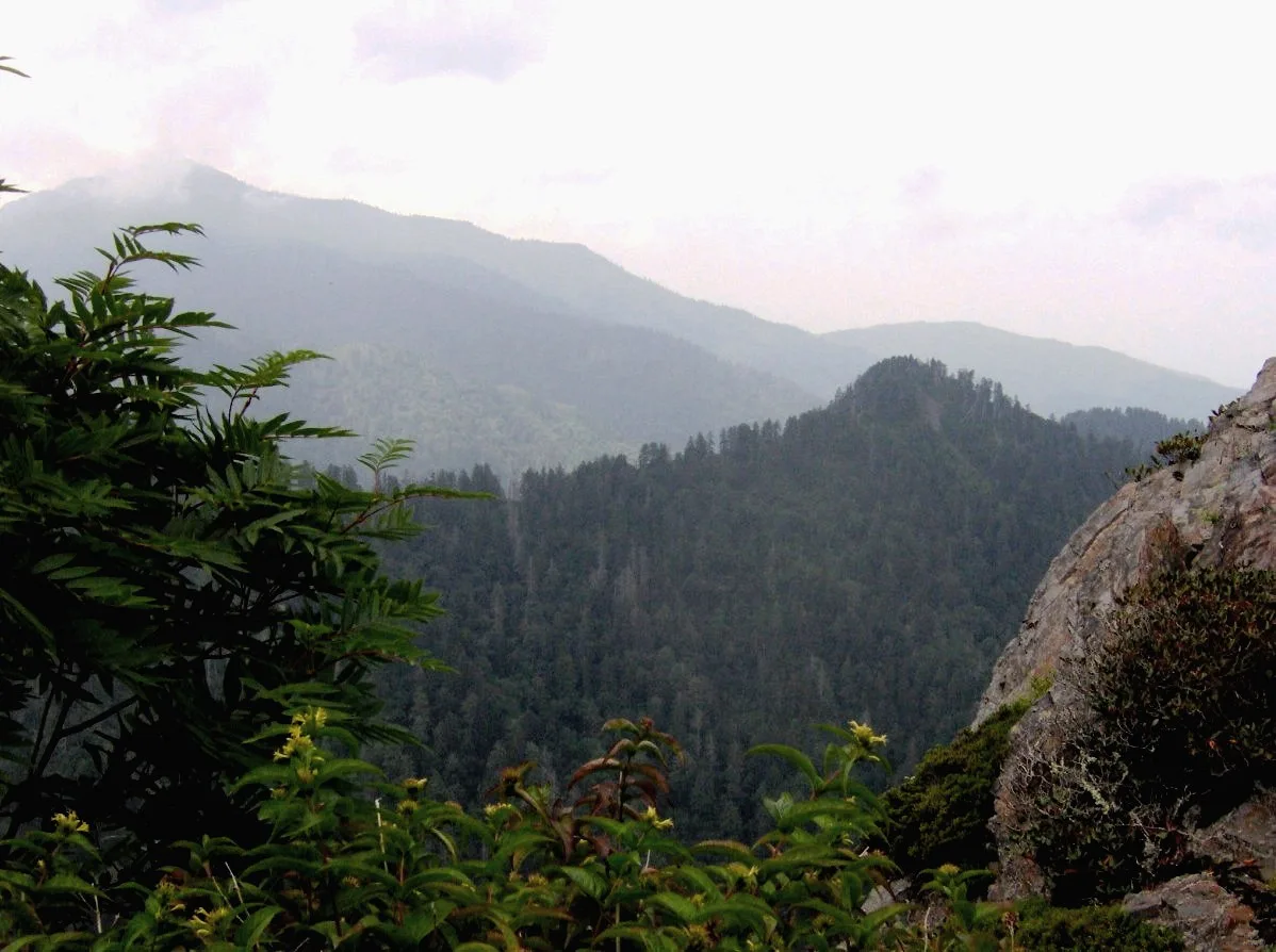
Great Smoky Mountains National Park · Appalachian & Blue Ridge · Tennessee
Dramatic Anakeesta slate crag exposed by the 1925 logging fire and 1929 cloudburst, jutting out over the North Carolina/Tennessee divide.
Photo: Brian Stansberry · CC BY 2.5

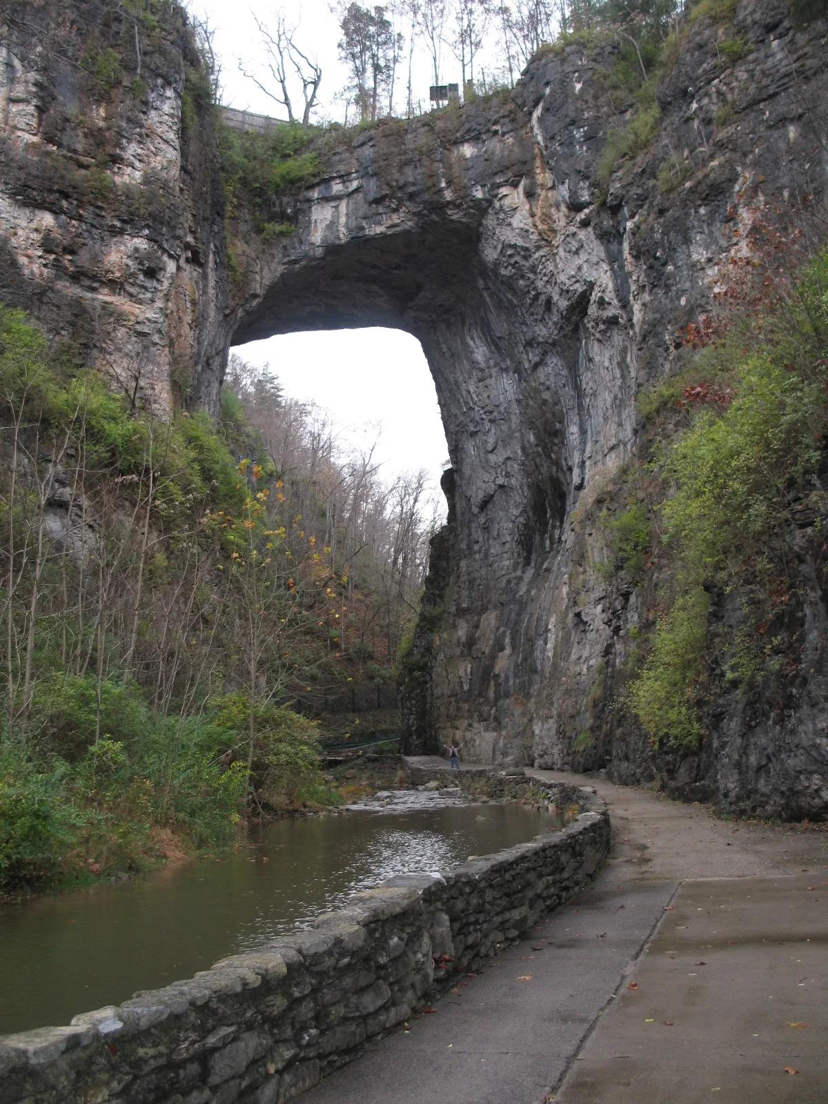
Natural Bridge State Park · Appalachian & Blue Ridge · Virginia
215-foot-high natural Ordovician limestone bridge carved by Cedar Creek in the Shenandoah Valley.
Photo: Originally uploaded by Bill (Transferred by rohith_goura) · CC BY 2.5

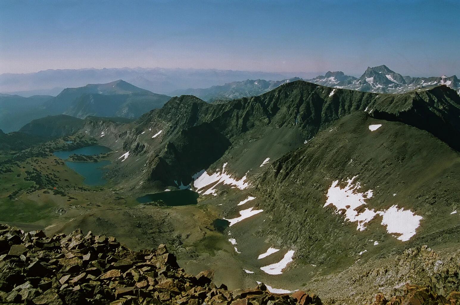
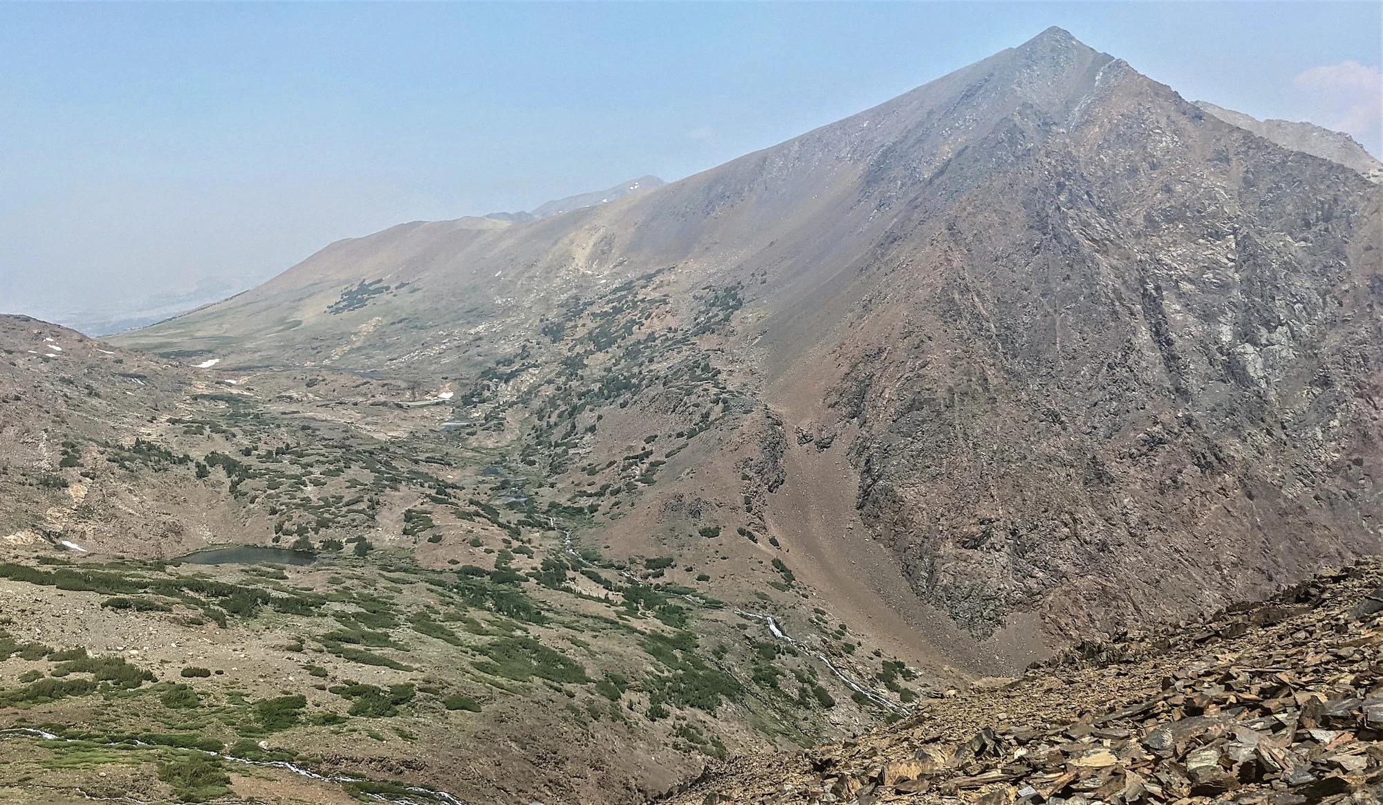
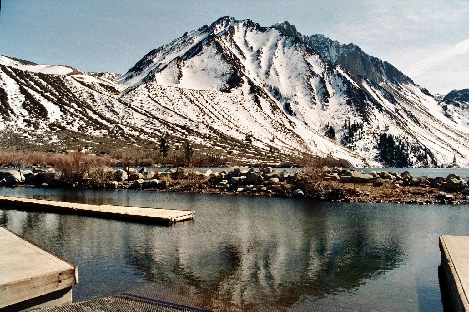
Inyo National Forest · Yosemite & Central Sierra
Verified California peak at 13,458 ft in Inyo National Forest (Yosemite & Central Sierra).
Photo: Jonathan Fox from Carson City, United States · CC BY-SA 2.0

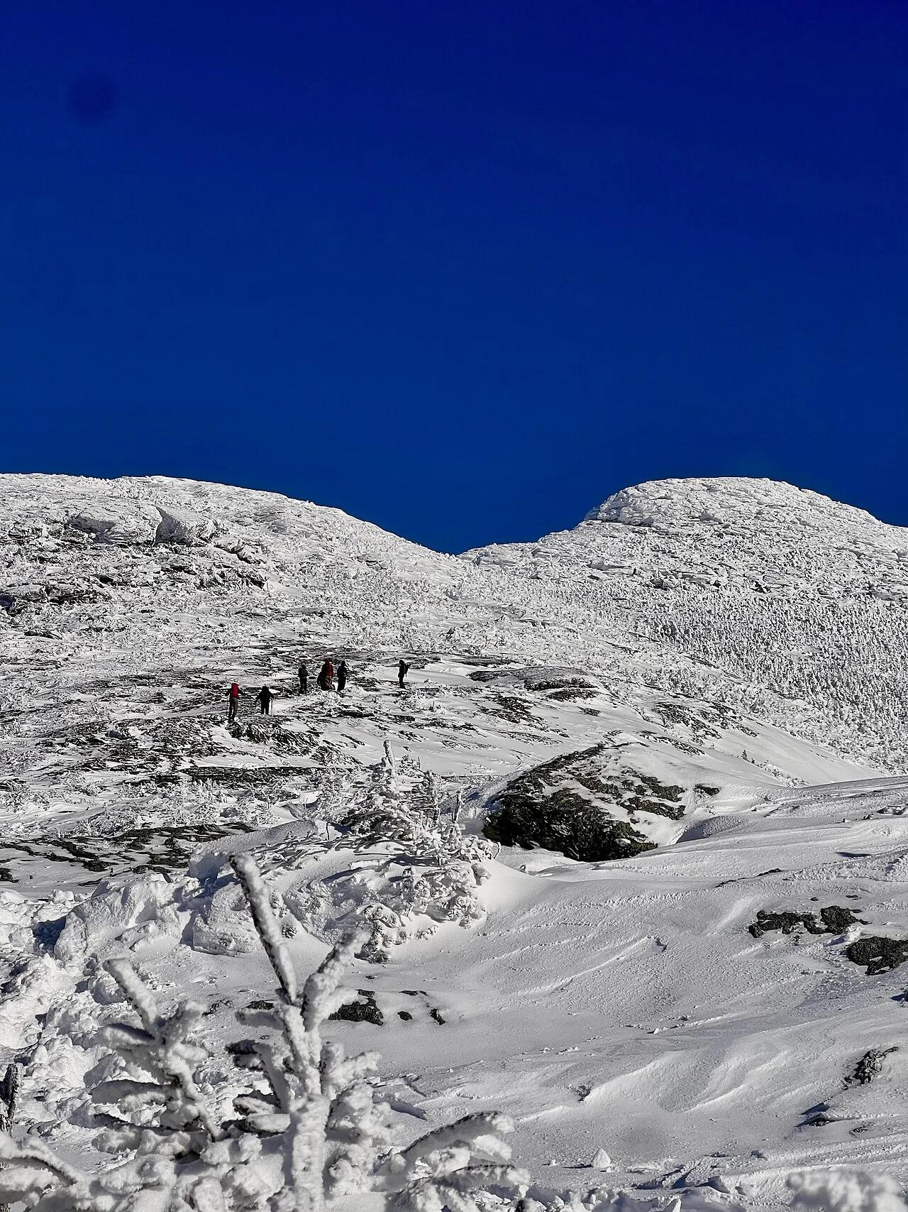
Inyo National Forest · Yosemite & Central Sierra
Verified California peak at 13,734 ft in Inyo National Forest (Yosemite & Central Sierra).
Photo: Gregory Bryson from San Diego, CA, USA · CC BY 2.0

Inyo National Forest · Yosemite & Central Sierra
Verified California peak at 12,241 ft in Inyo National Forest (Yosemite & Central Sierra).
Photo: The original uploader was Geographer at English Wikipedia . · CC BY 1.0

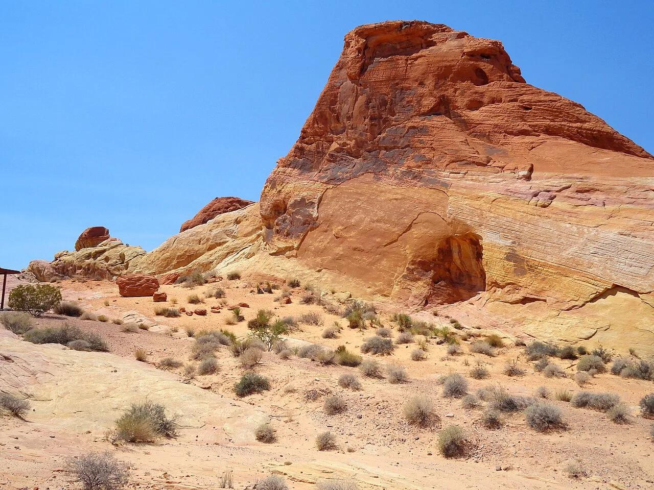
Valley of Fire State Park · Great Basin & Nevada · Nevada
Contrast of cream, pink, and crimson Aztec Sandstone domes leading through a cool narrow slot canyon in the Mojave Desert.
Photo: Fabio Achilli from Milano, Italy · CC BY 2.0

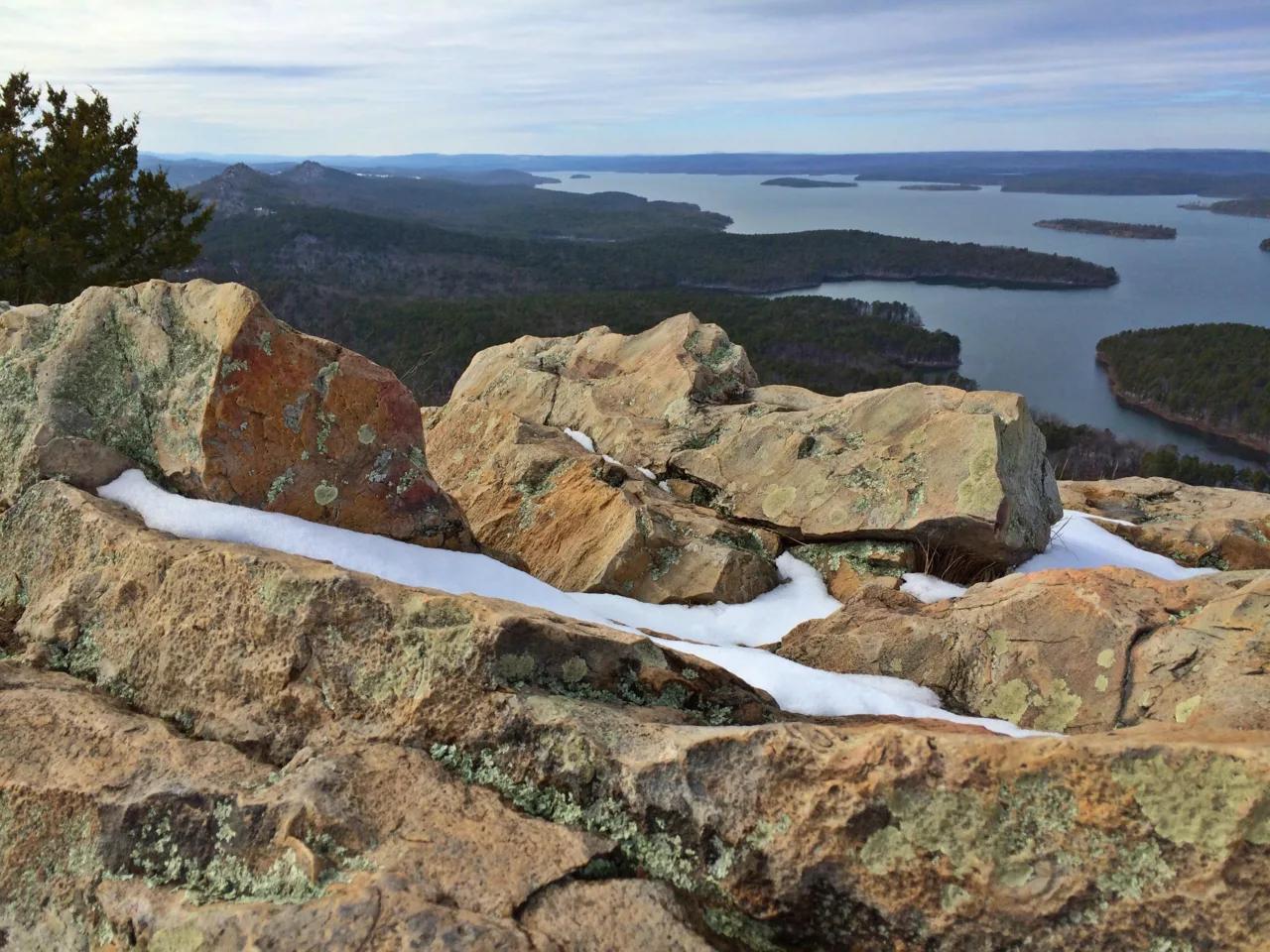
Pinnacle Mountain State Park (Little Rock) · South & Gulf Coast · Arkansas
Steep Jackfork Sandstone boulder cone rising 1,011 feet directly above the Arkansas River and Lake Maumelle, accompanied by Monument Trails mountain biking.
Photo: Jason Ronza · CC BY-SA 4.0

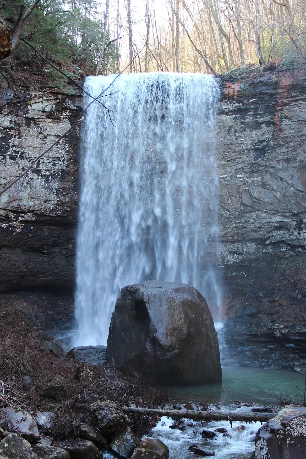
Cloudland Canyon State Park (Lookout Mountain) · Appalachian & Blue Ridge · Georgia
600-step steel staircase descending into a 1,000-foot sandstone gorge on the western edge of Lookout Mountain to twin plunging waterfalls.
Photo: Thomsonmg2000 · Public domain

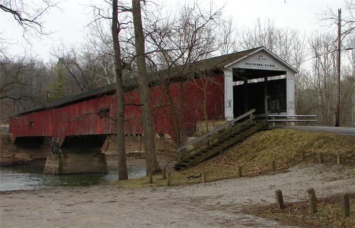
Shades State Park / Pine Hills Nature Preserve · West Central Indiana · Indiana
Deep sandstone ravines along Sugar Creek featuring Devil's Punchbowl waterfall basin and the dramatic 100-foot knife-edge ridge of Turkey Backbone.
Photo: AlHart · Public domain

Indian Cave State Park (Shubert) · Southeast Nebraska · Nebraska
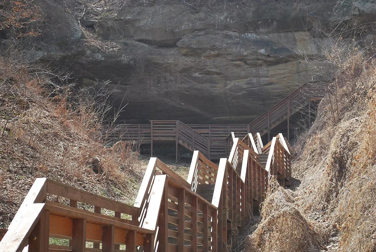
Massive sandstone cavern bearing prehistoric Native American petroglyphs nestled along 200-foot hardwood bluffs overlooking the Missouri River.
Photo: DickClarkMises · Public domain

Theodore Roosevelt National Park (North Unit) · Badlands · North Dakota
Historic 1930s Civilian Conservation Corps stone pavilion perched high on a cliff edge looking straight over the serpentine bends of the Little Missouri River.
Photo: Acroterion · CC BY-SA 4.0