Peak
Cleveland National Forest · Central Valley & Foothills
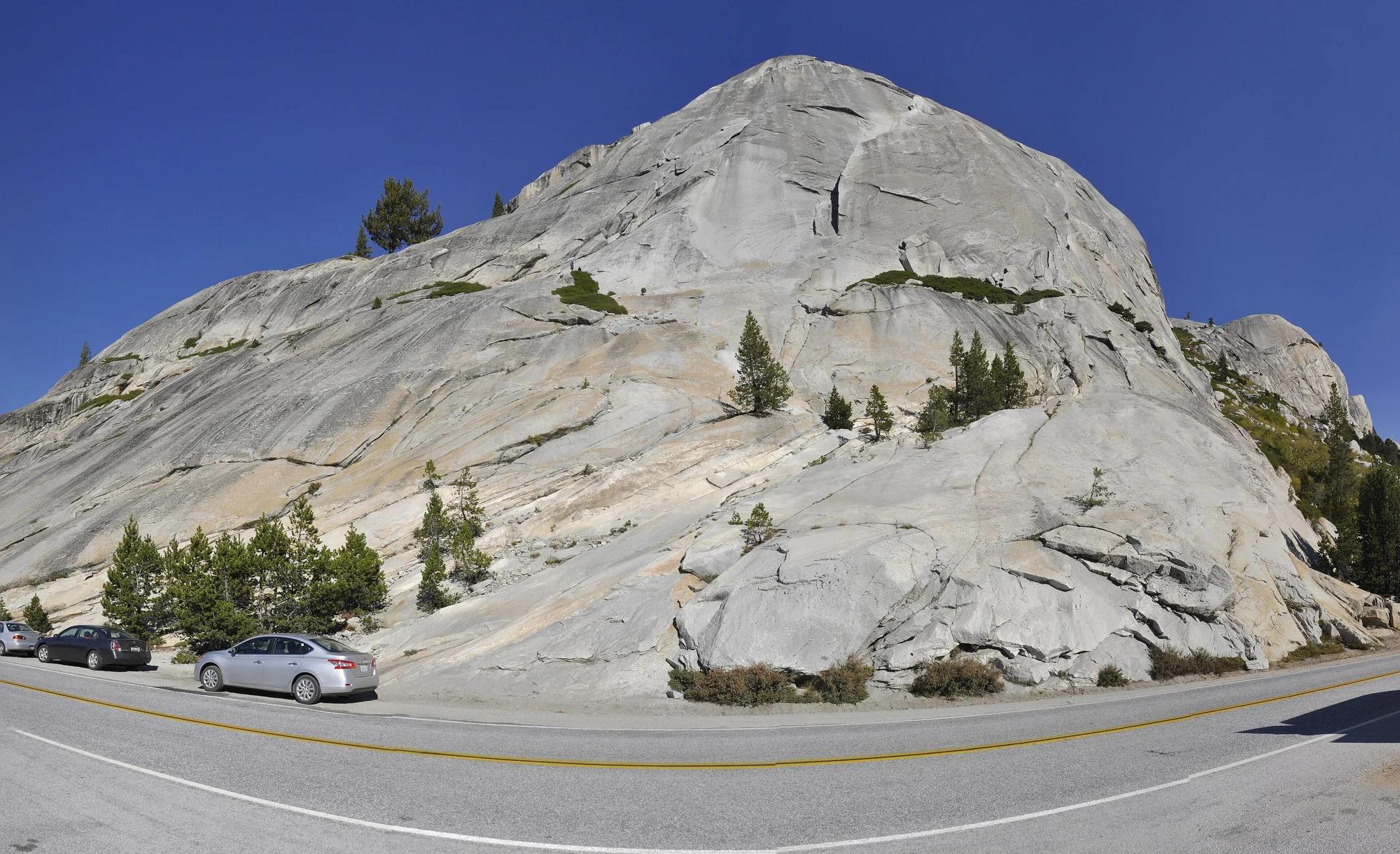
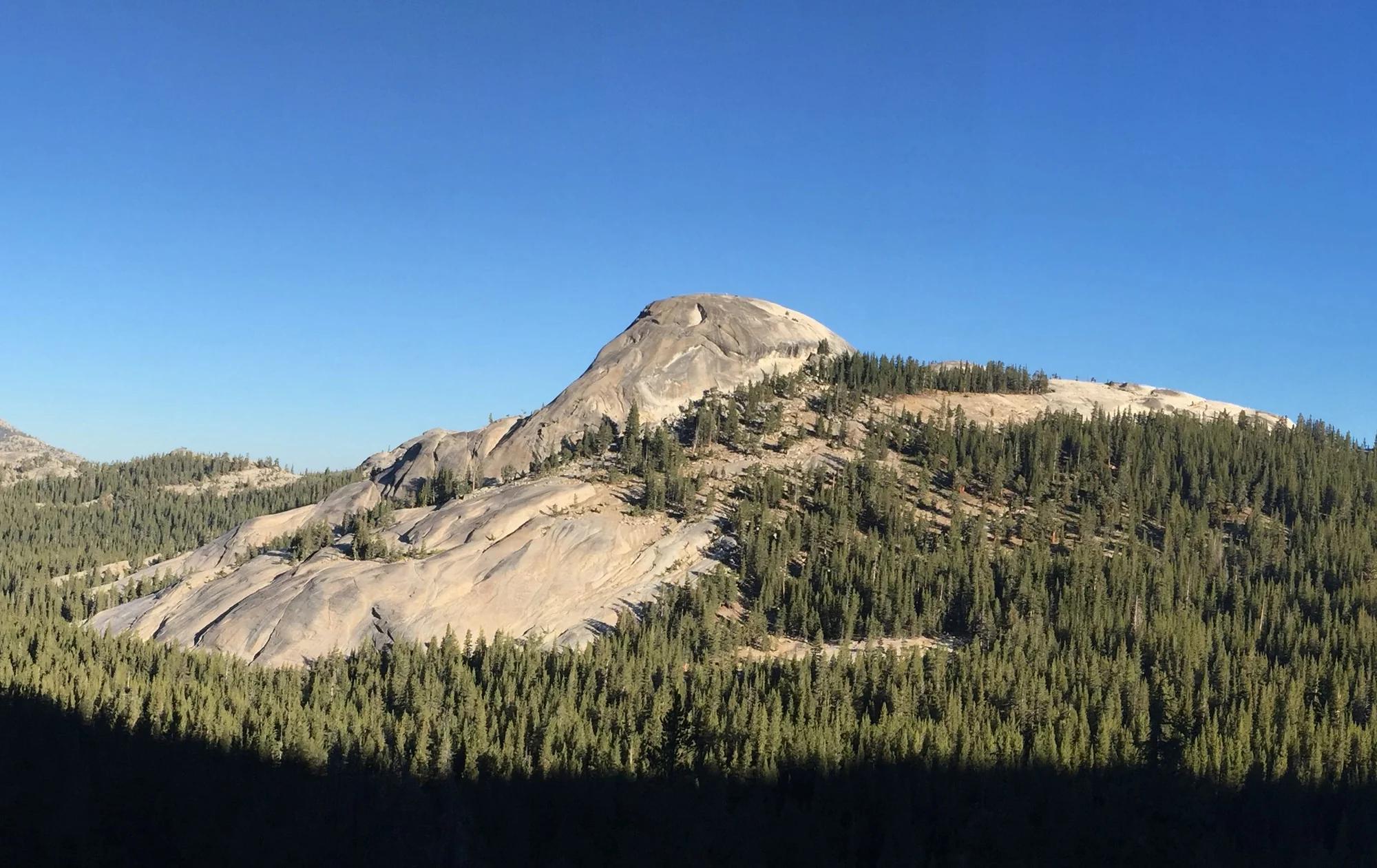
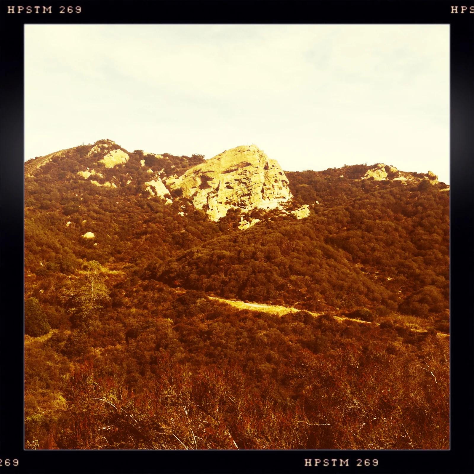
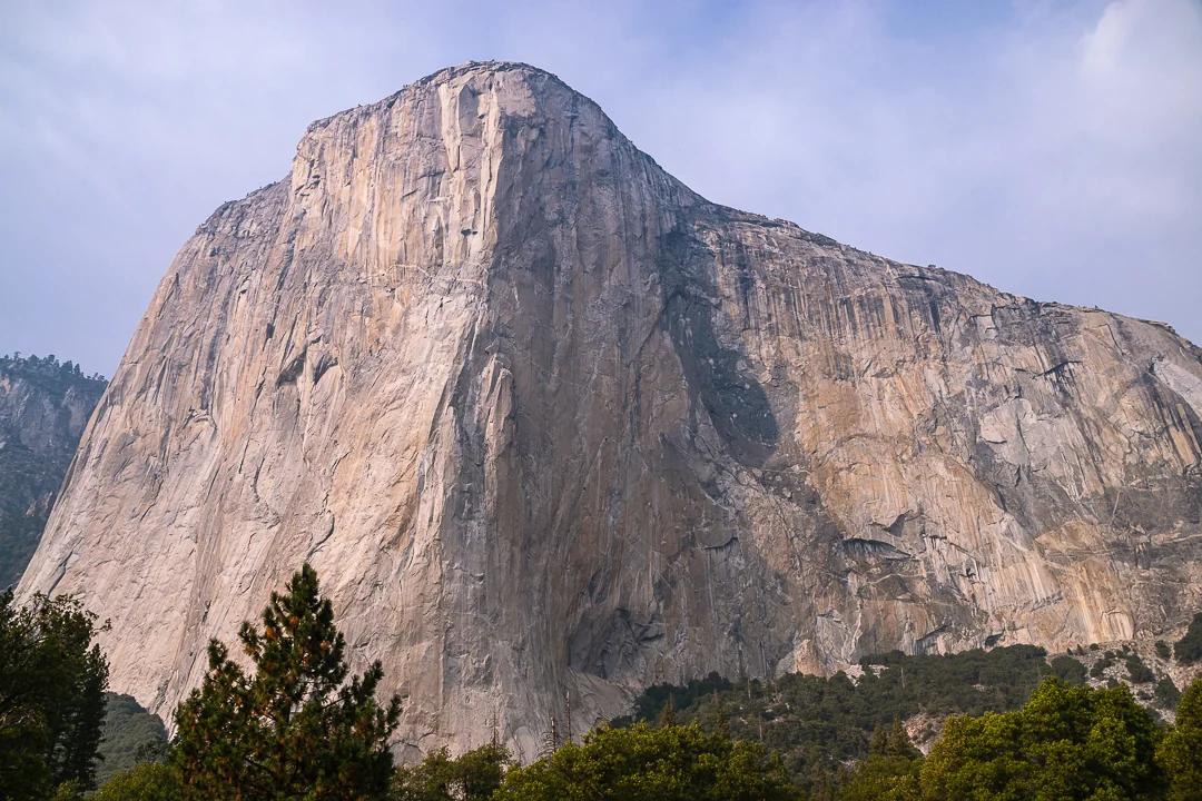
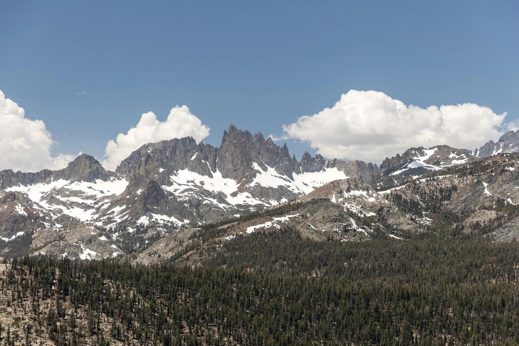
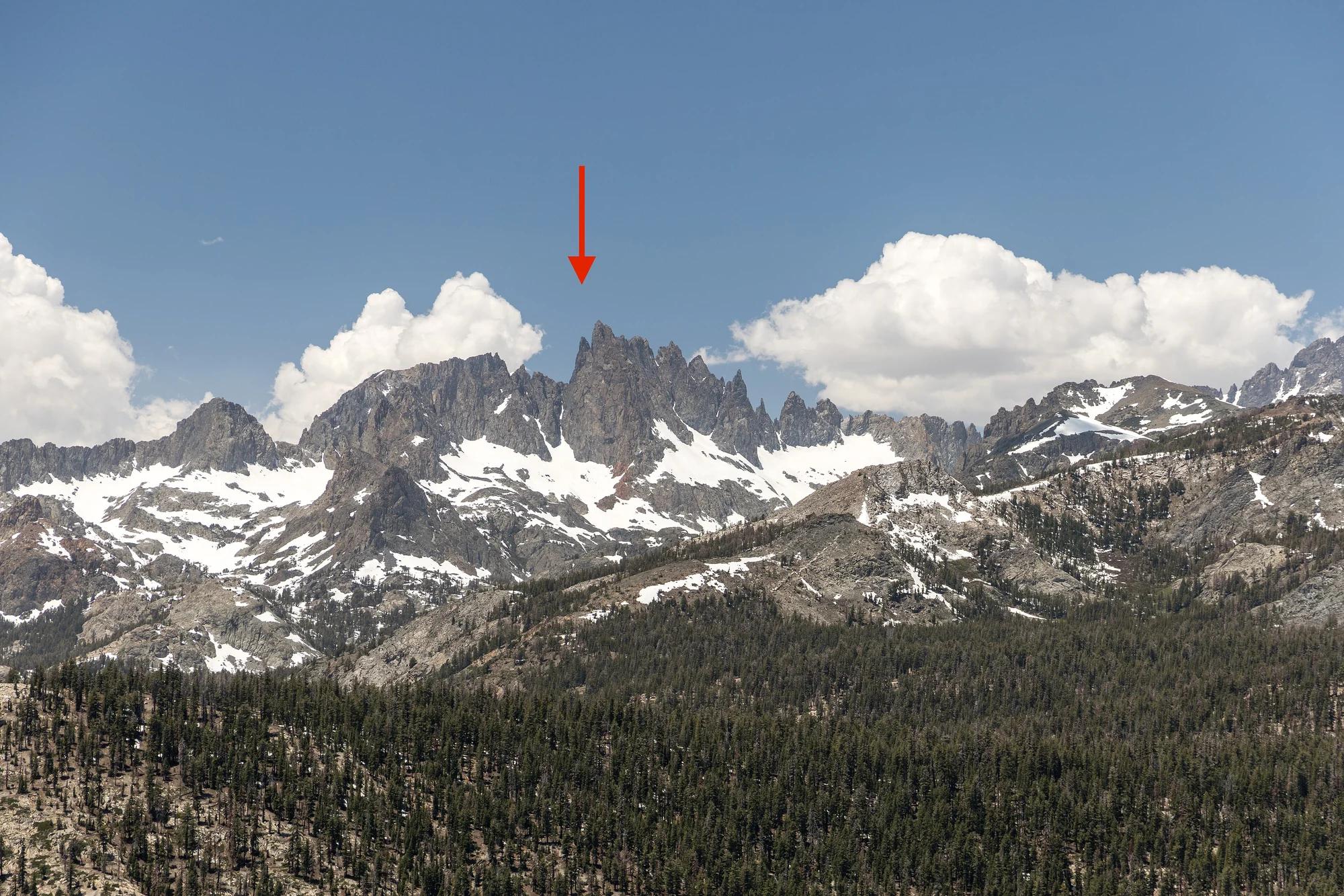
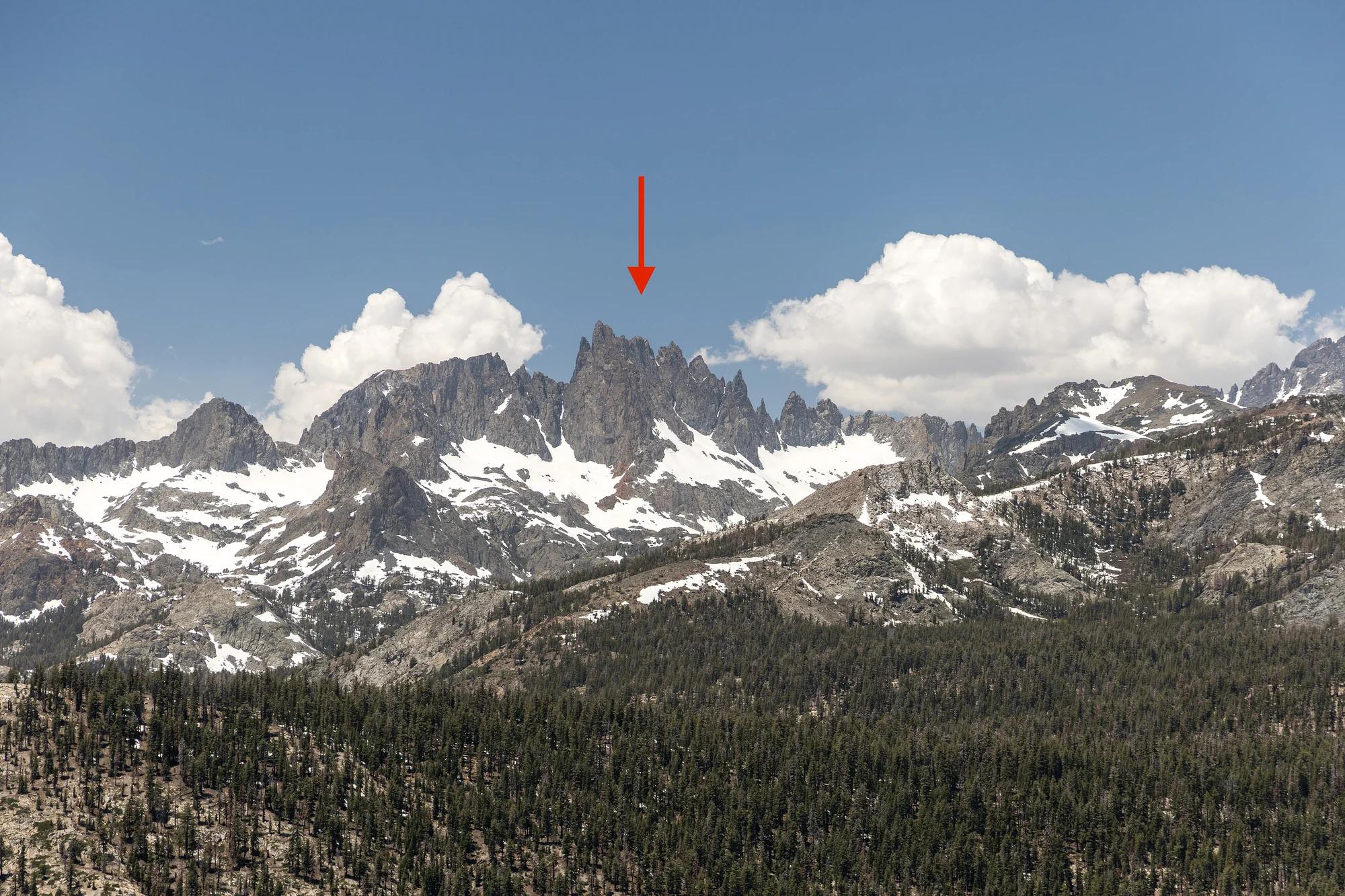
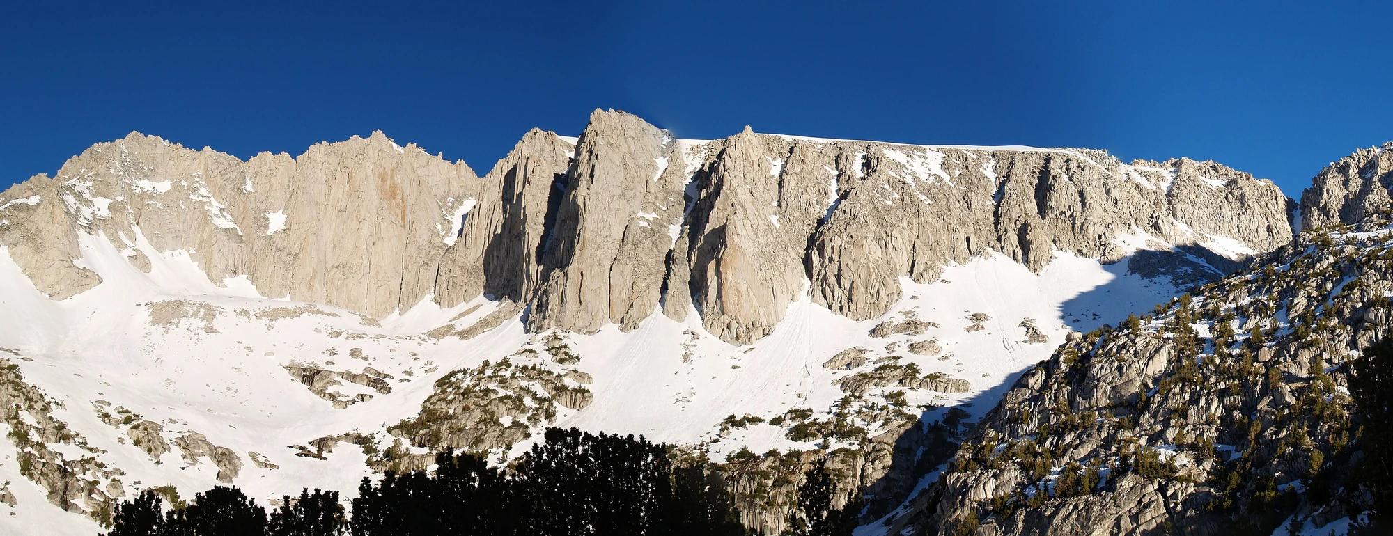
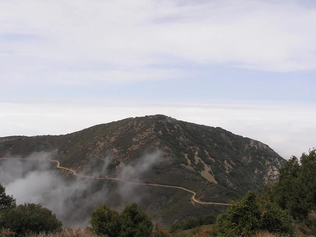
Modjeska Peak
Verified California peak at 5,495 ft in Cleveland National Forest (Central Valley & Foothills). Linked to Joplin.
- Route
- 10.9 mi
- Elevation
- 5,495 ft
Browse & Discover
Filter by activity, state, region, dog policy, or route effort — or use the interactive map below to find waterfalls, trails, beaches, bikeways, skateparks, and campgrounds near any location.
400 of 2,051 places
Drag to pan. Double-click, pinch or scroll to zoom. Keyboard: arrow keys and +/−. Cards below remain available.
Loading map… Browse the spot cards below at any time.

Russian Ridge Open Space Preserve
The highest named summit in San Mateo County, an open grassland top on Russian Ridge with views from the ocean to the Bay.
Justin Dolske from Cupertino, USA · CC BY-SA 2.0. Source & image licence

Mission Peak Regional Preserve
The bare grassland summit above Fremont, marked by the Mission Peeker sighting pole and climbed by the Hidden Valley Trail from Stanford Avenue.
Oleg Alexandrov · CC BY-SA 3.0. Source & image licence

Angeles National Forest
The highest summit of the San Gabriel Mountains, reached from Baldy Notch along the exposed Devils Backbone ridge.
Darkest tree · CC BY-SA 4.0. Source & image licence

Mount Tamalpais State Park
The summit of Mount Tamalpais, a short plank-and-rock climb from the East Peak visitor area to the fire lookout above the whole Bay Area.
Chris Koerner from St. Louis, USA · CC BY-SA 2.0. Source & image licence
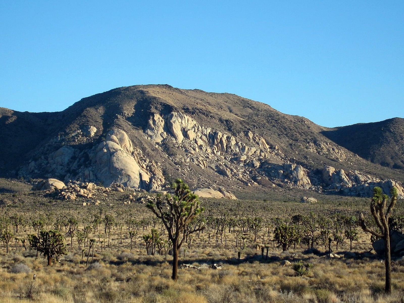
Joshua Tree National Park
A signed summit trail in Joshua Tree National Park, climbing from Park Boulevard to Ryan Mountain.
Robb Hannawacker / National Park Service · Public domain. Source & image licence

Santa Monica Mountains National Recreation Area
The highest point in the Santa Monica Mountains, climbed from the Mishe Mokwa trailhead along the Backbone Trail at Circle X Ranch.
Wasquewhat · CC BY-SA 4.0. Source & image licence
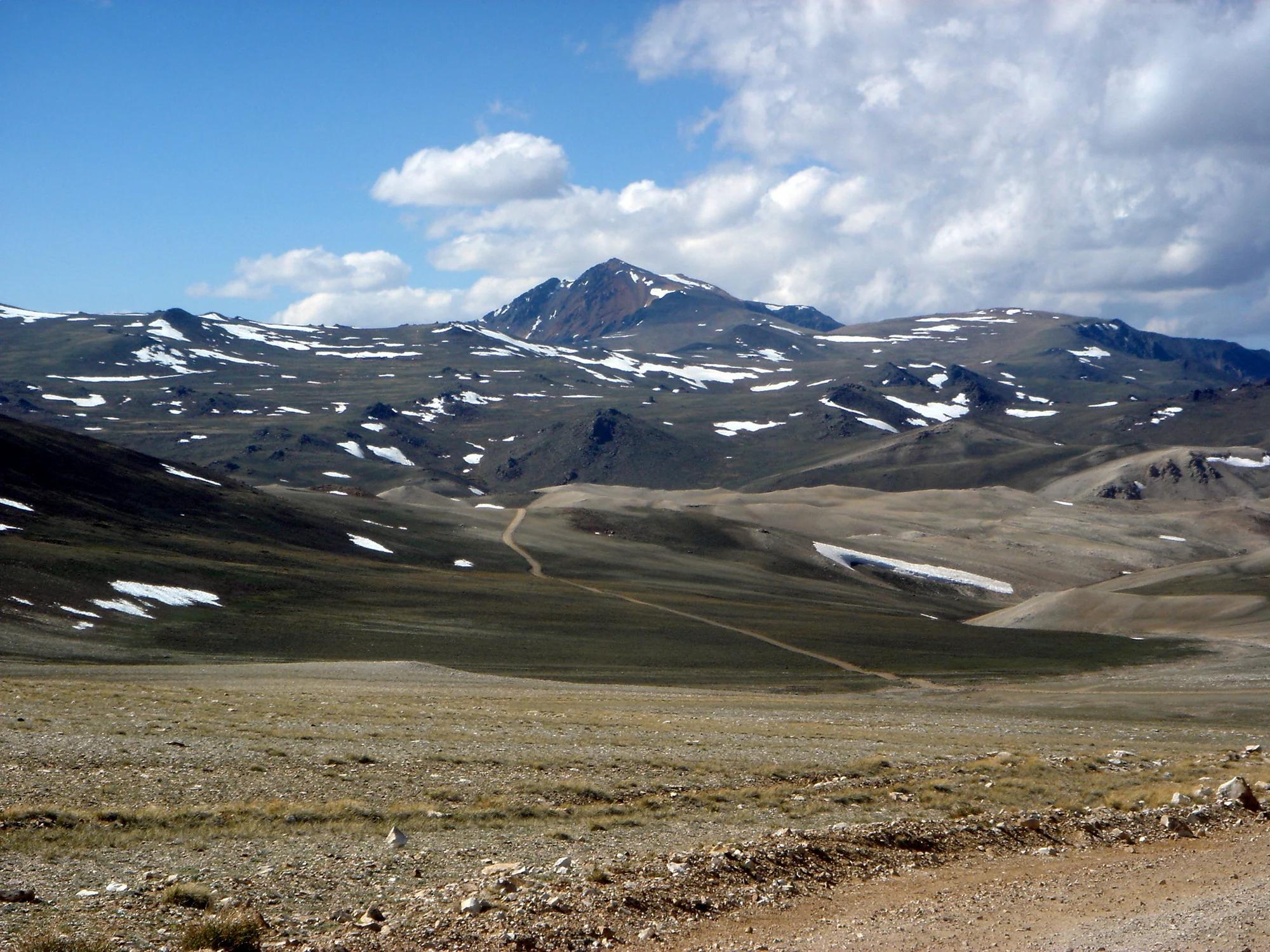
Eastern Sierra
Verified California peak at 14,252 ft in Eastern Sierra.
Photo: JonathanLamb ( talk · contribs ) · CC BY 3.0
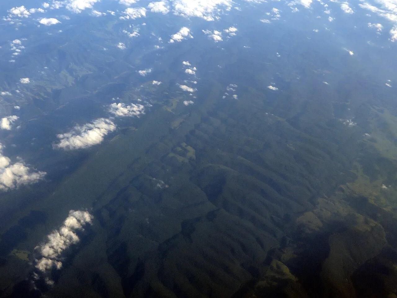
Spruce Knob-Seneca Rocks National Recreation Area · Appalachian & Blue Ridge · West Virginia
Highest point in West Virginia (4,863 ft), crowned by a stone observation tower, quartzite boulder fields, and wind-sculpted red spruce groves.
Photo: Ken Lund from Reno, Nevada, USA · CC BY-SA 2.0
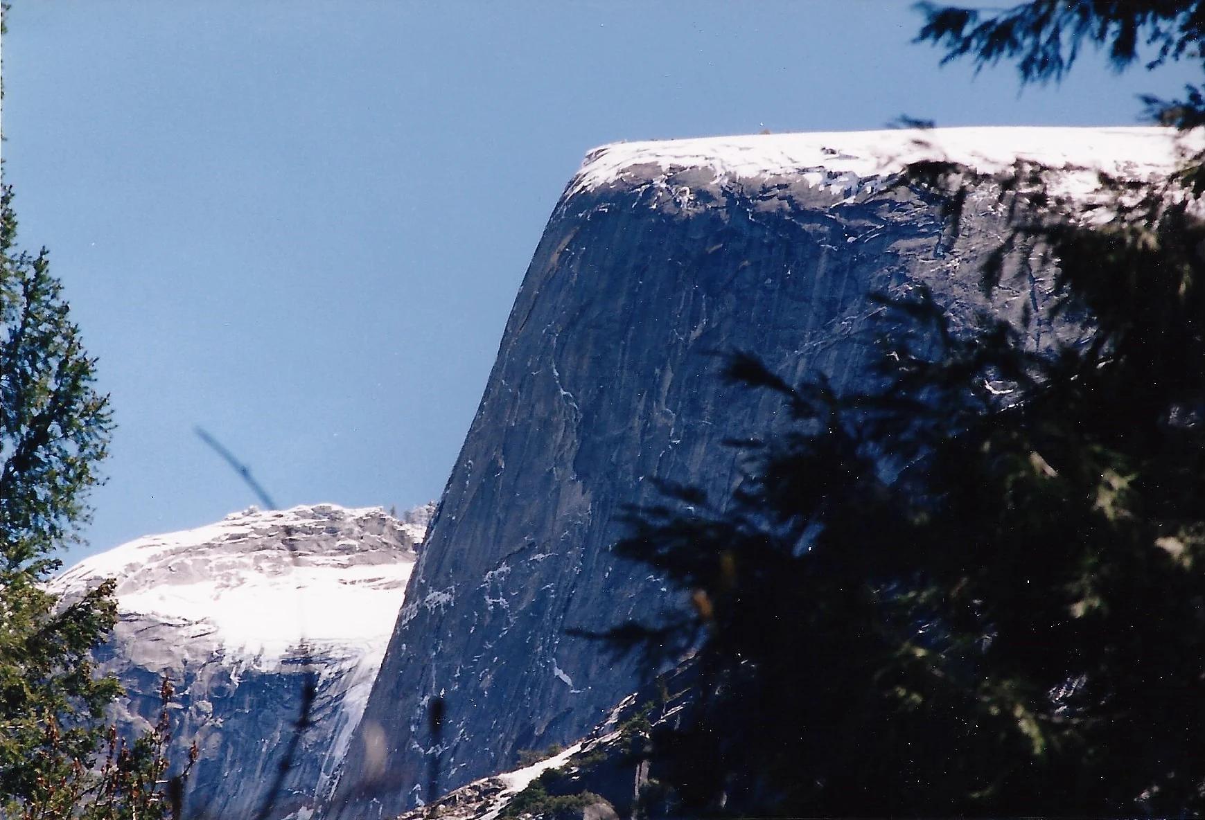
Yosemite National Park · Yosemite & Central Sierra
Verified California peak at 8,169 ft in Yosemite National Park (Yosemite & Central Sierra).
Photo: Glenn Scofield Williams from Portland, Oregon, USA · CC BY 2.0
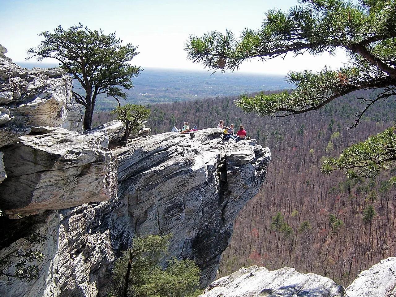
Hanging Rock State Park (Sauratown Mountains) · Appalachian & Blue Ridge · North Carolina
Isolated quartzite monadnock cliffs rising above the Piedmont with five spring-fed mountain waterfalls including Lower Cascades and Tory's Den.
Photo: Jacalyn Engler from Greensboro, United States · CC BY-SA 2.0
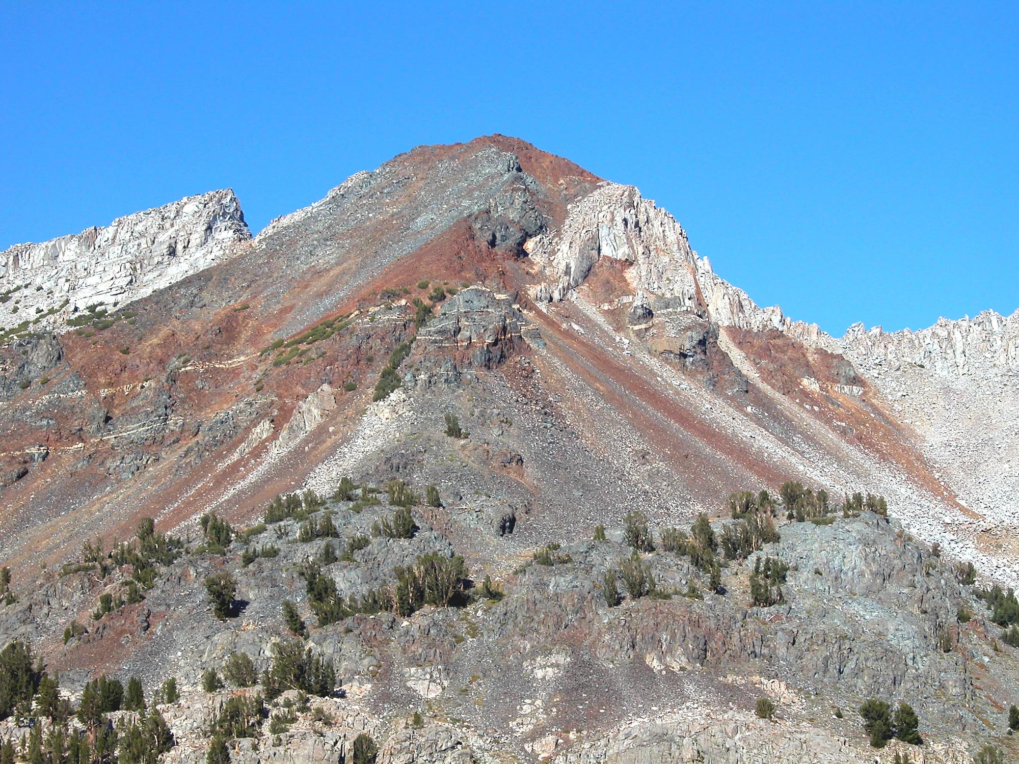
Inyo National Forest · Yosemite & Central Sierra
Verified California peak at 11,759 ft in Inyo National Forest (Yosemite & Central Sierra).
Photo: Feist, Michael - FunnyFence - catchthefuture · CC BY-SA 2.0
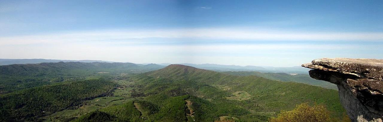
Jefferson National Forest (Catawba) · Appalachian & Blue Ridge · Virginia
35-foot vertical spire of Tuscarora quartzite jutting from the knife-edge crest of Cove Mountain along Virginia's Triple Crown.
Photo: Something Original (talk) · CC BY-SA 3.0
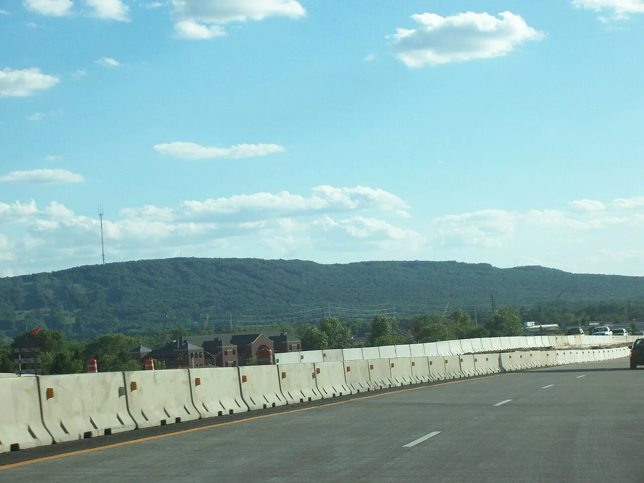
Rib Mountain State Park · Central Wisconsin · Wisconsin
Ancient 1.7-billion-year-old quartzite monadnock rising 800 feet above the Wisconsin River plains, offering 30-mile vistas from its historic observation tower.
Photo: User:Royalbroil · CC BY-SA 2.5
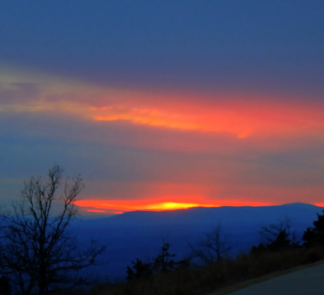
Mount Magazine State Park (Ozark-St. Francis NF) · South & Gulf Coast · Arkansas
Highest point in Arkansas (2,753 ft) crowned by sheer sandstone hang-gliding cliffs overlooking the Petit Jean River Valley.
Photo: Yinan Chen · Public domain
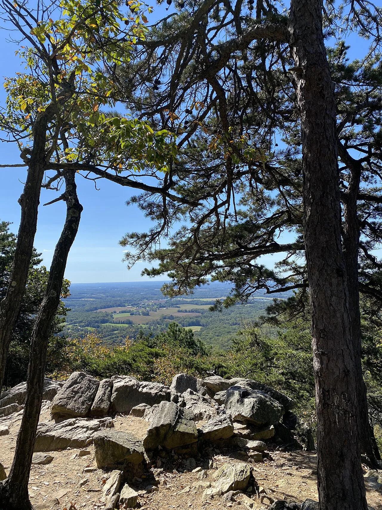
Sugarloaf Mountain Natural Landmark · Piedmont / Frederick County · Maryland
An isolated quartzite monadnock rising 800 feet above the surrounding farmland with sweeping views of the Blue Ridge and Monocacy River.
Photo: TheTurducken · CC BY 2.0
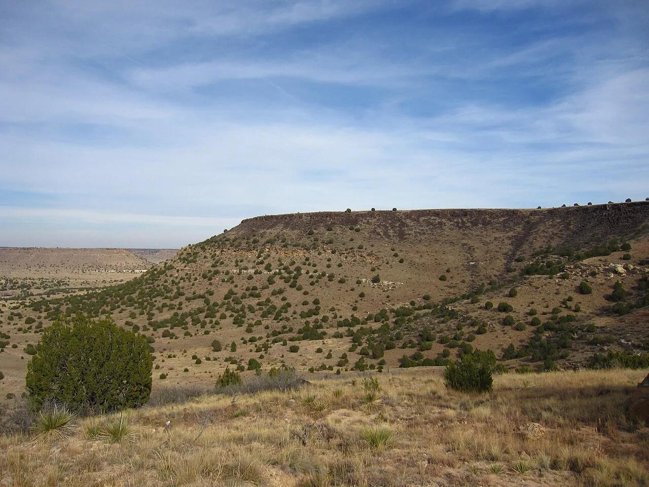
Black Mesa State Park & Nature Preserve (Kenton) · Panhandle · Oklahoma
The highest point in Oklahoma (4,973 feet) atop a dramatic black basalt volcanic lava flow mesa on the tri-state border with Colorado and New Mexico.
Photo: Chris M · CC BY 2.0
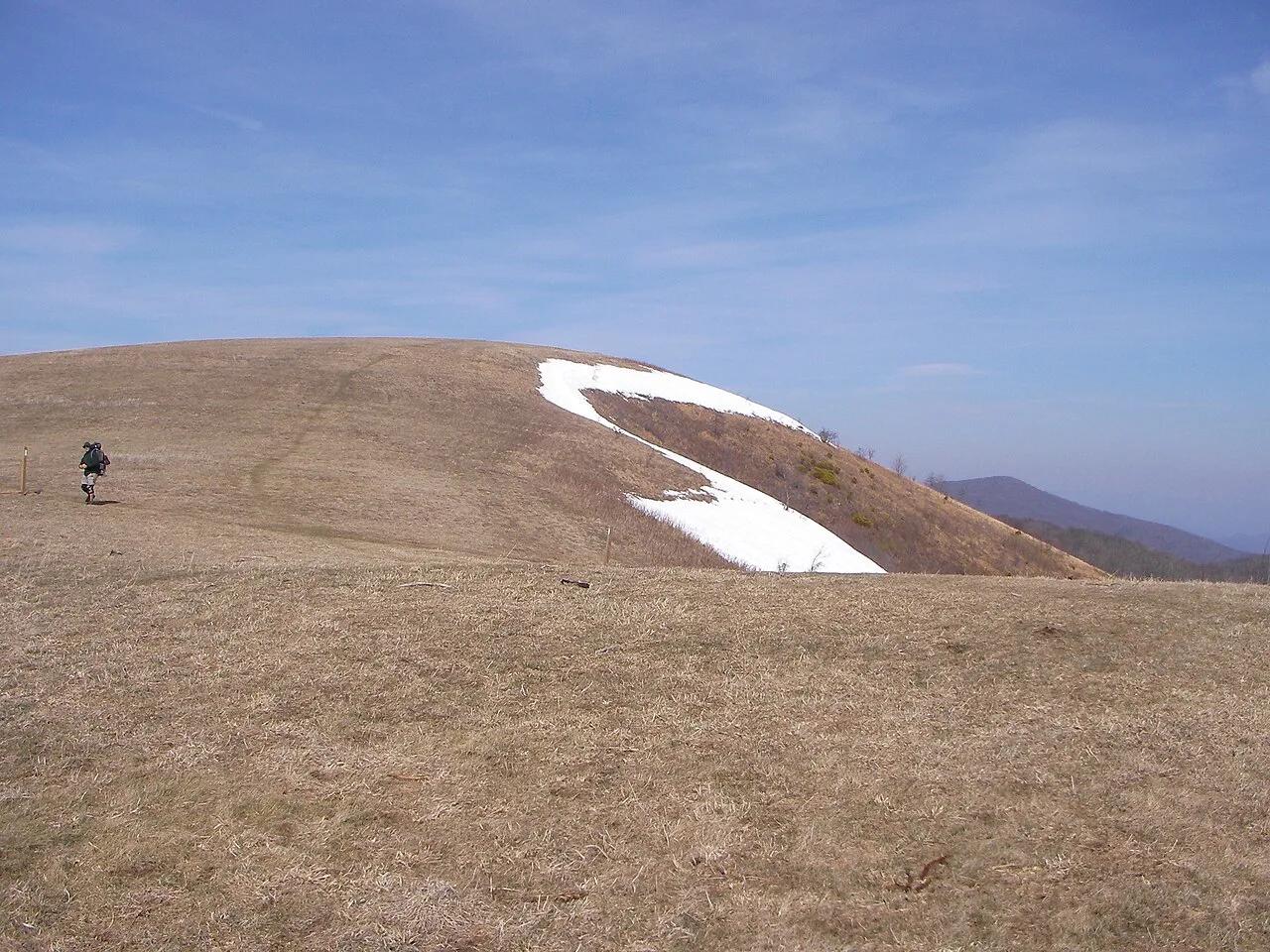
Pisgah National Forest · Appalachian & Blue Ridge · North Carolina
350-acre open mountaintop meadow along the Appalachian Trail offering unobstructed views from Mount Mitchell to the Great Smoky Mountains.
Photo: User:Washedwithblood7 · Public domain