Peak
3 photosAngeles National Forest · San Gabriel Mountains
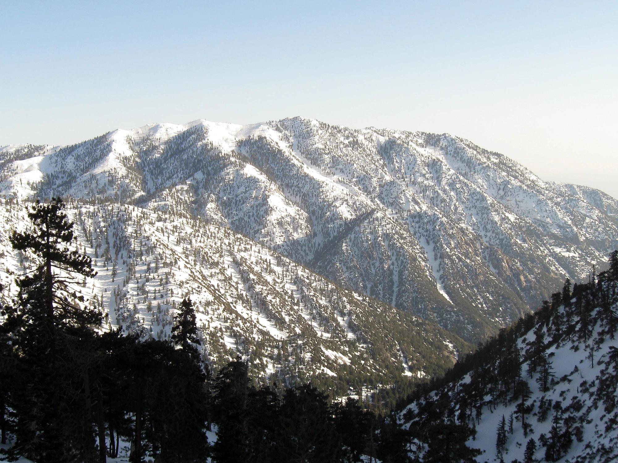
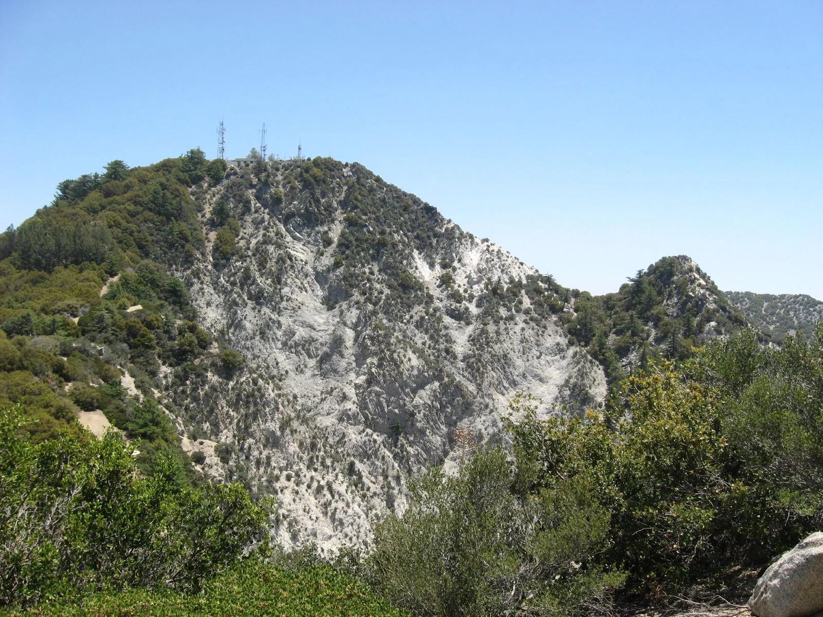
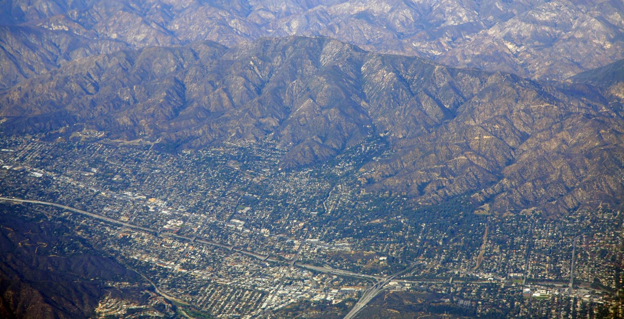
Mount Lukens
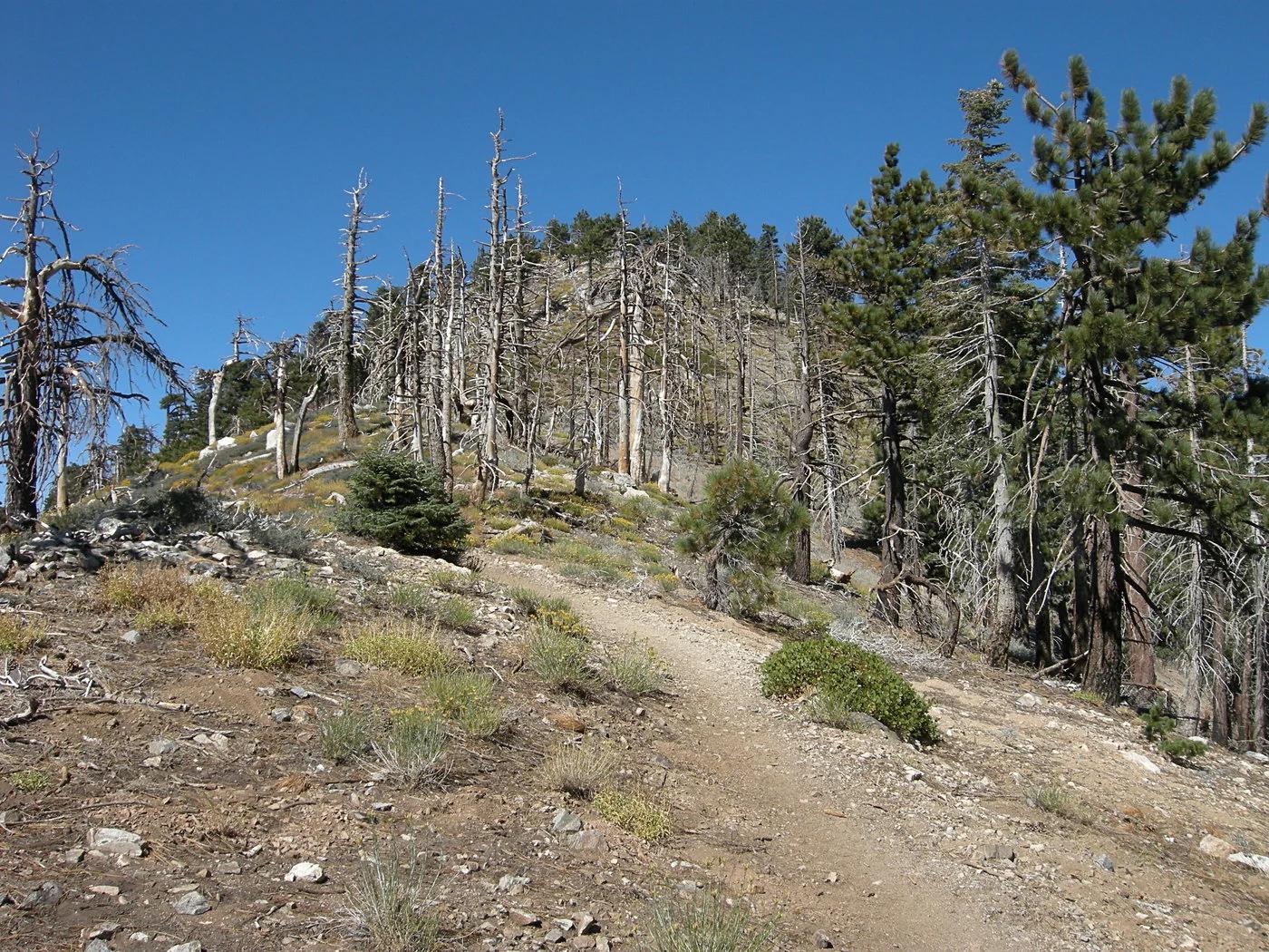
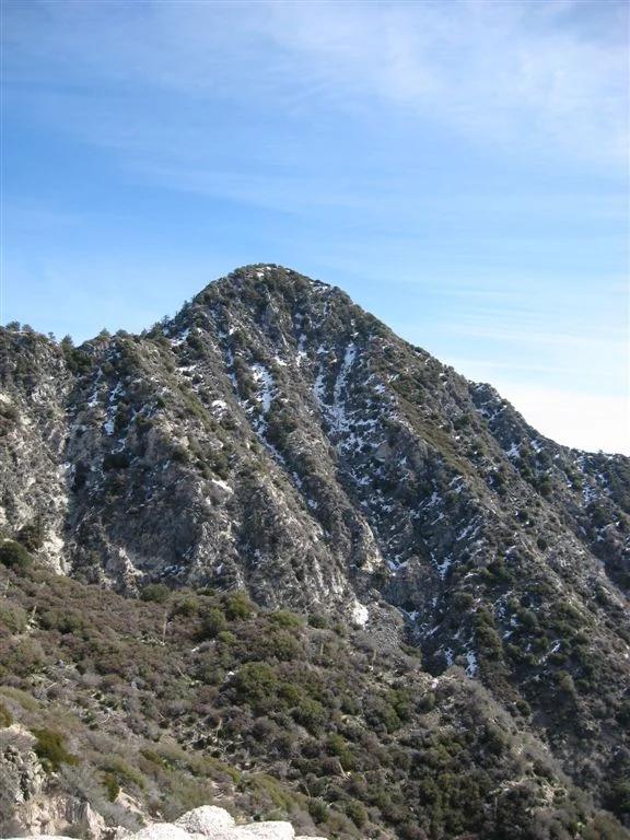
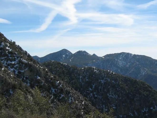
Verified California peak at 5,074 ft in Angeles National Forest (San Gabriel Mountains). Linked to Stone Canyon Trail.
- Route
- 3.6 mi
- Elevation
- 5,074 ft
Browse & Discover
Filter by activity, state, region, dog policy, or route effort — or use the interactive map below to find waterfalls, trails, beaches, bikeways, skateparks, and campgrounds near any location.
15 of 2,051 places
Drag to pan. Double-click, pinch or scroll to zoom. Keyboard: arrow keys and +/−. Cards below remain available.
Loading map… Browse the spot cards below at any time.

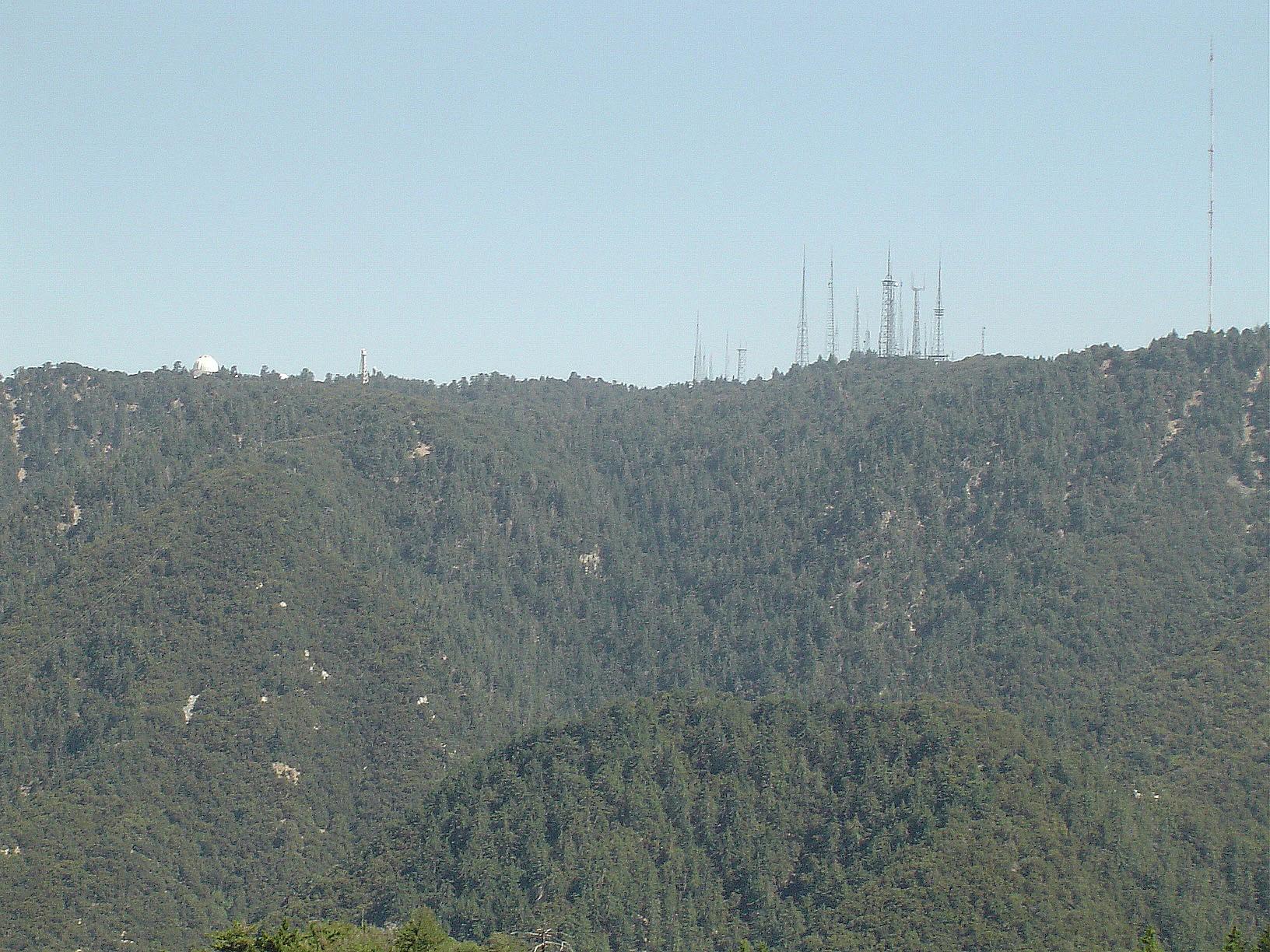
Angeles National Forest
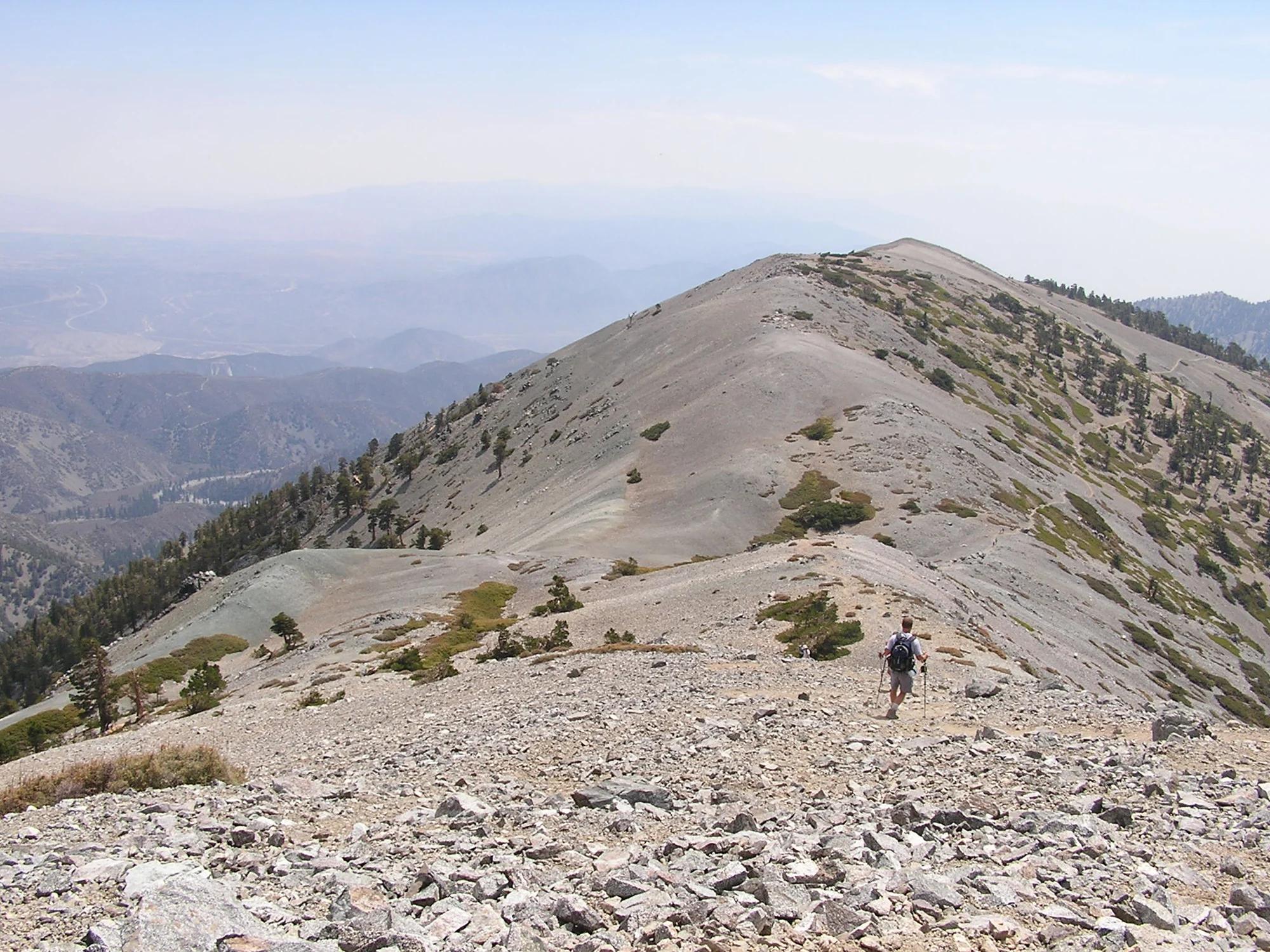
The highest summit of the San Gabriel Mountains, reached from Baldy Notch along the exposed Devils Backbone ridge.
Darkest tree · CC BY-SA 4.0. Source & image licence
Angeles National Forest · San Gabriel Mountains
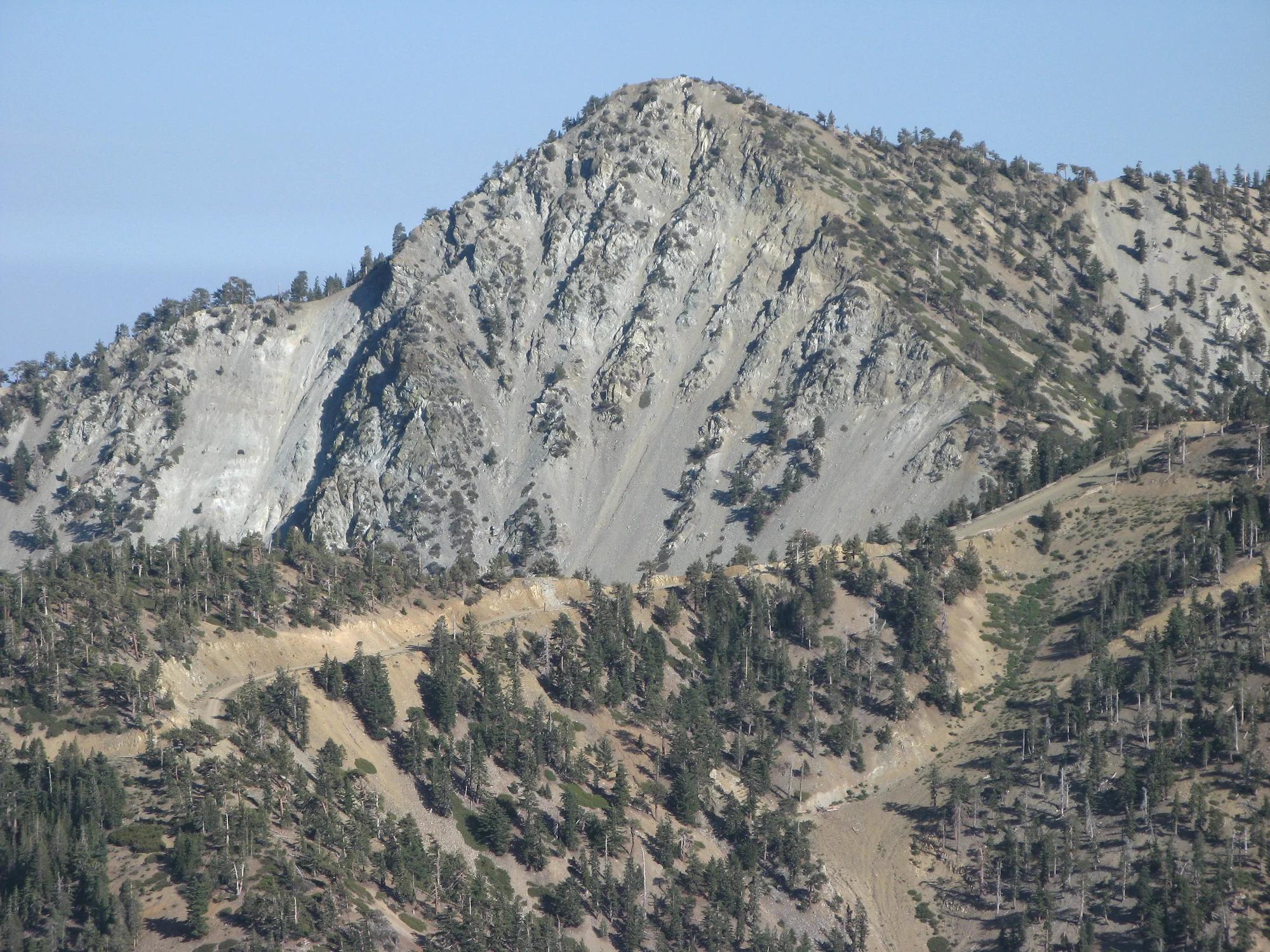
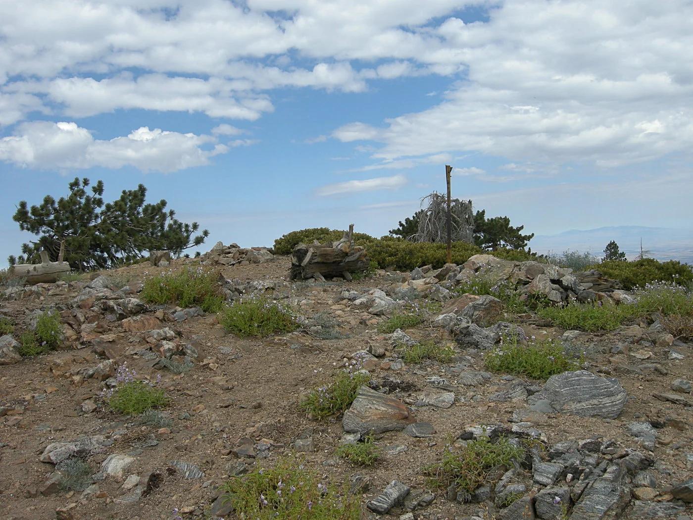
Verified California peak at 5,699 ft in Angeles National Forest (San Gabriel Mountains). Linked to Rim Trail.
Photo: The original uploader was Geographer at English Wikipedia . · CC BY 1.0
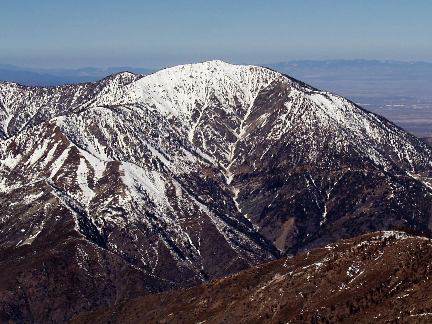
Angeles National Forest · San Gabriel Mountains
Verified California peak at 9,383 ft in Angeles National Forest (San Gabriel Mountains). Linked to PCT - California Section D.
Photo: The original uploader was Jakerome at English Wikipedia ./ Simonov · CC BY-SA 2.0
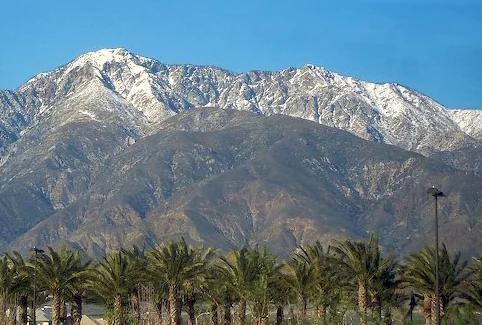
Angeles National Forest · San Gabriel Mountains
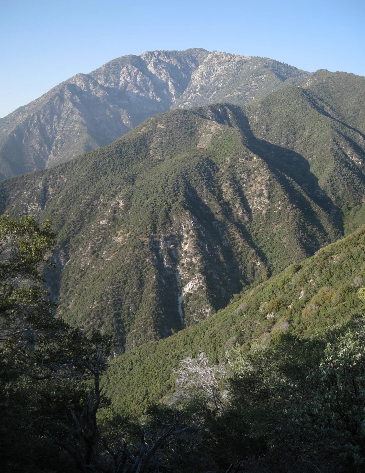
Verified California peak at 8,842 ft in Angeles National Forest (San Gabriel Mountains).
Photo: Cliff Hutson ; later cropping and color editing by Daniel Case . · CC BY 2.0