Canyon
Maquoketa Caves State Park · Midwest & Great Lakes · Iowa
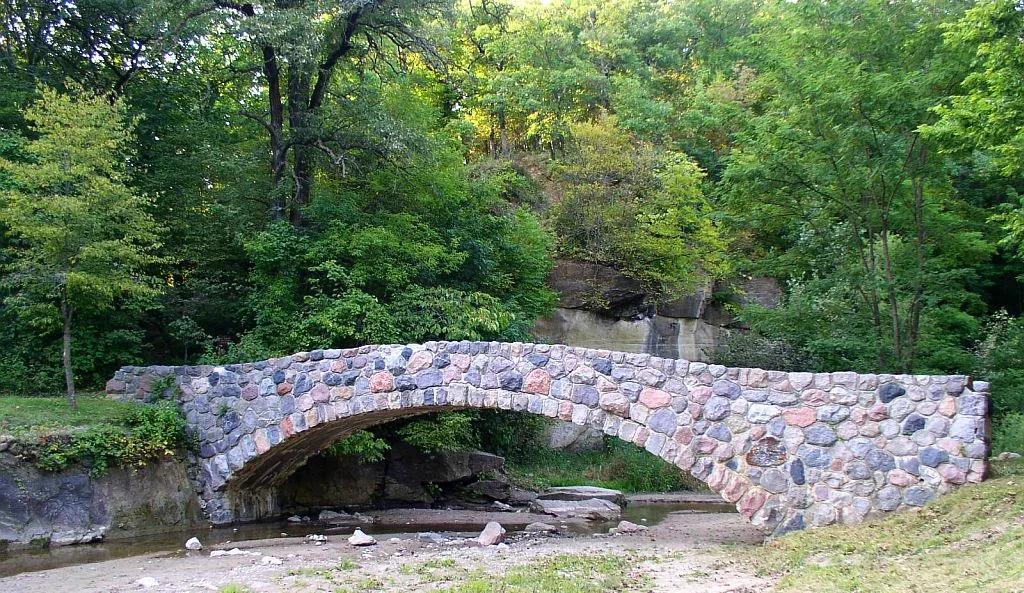
Maquoketa Caves & Natural Bridge
Thirteen limestone karst caves, a 50-foot natural rock bridge, and 17-ton Balanced Rock linked by a wooded ravine trail.
- Route
- 6 mi
- Climb
- 492 ft
Browse & Discover
Filter by activity, state, region, dog policy, or route effort — or use the interactive map below to find waterfalls, trails, beaches, bikeways, skateparks, and campgrounds near any location.
6 of 2,051 places
Drag to pan. Double-click, pinch or scroll to zoom. Keyboard: arrow keys and +/−. Cards below remain available.
Loading map… Browse the spot cards below at any time.
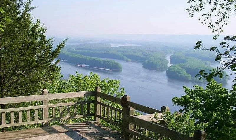
Pikes Peak State Park (McGregor) · Driftless Area · Iowa
Soaring 500-foot dolomite bluff delivering magnificent panoramas of the Wisconsin and Mississippi River confluence, paired with Bridal Veil Falls boardwalk.
Photo: McGhiever · CC BY-SA 3.0

Backbone State Park (Dundee) · Northeast Iowa · Iowa
Iowa's oldest state park (1919), centering on a dramatic narrow bedrock ridge of Silurian dolomite flanked on three sides by the Maquoketa River loop.
Photo: Kevin Schuchmann · CC BY-SA 3.0
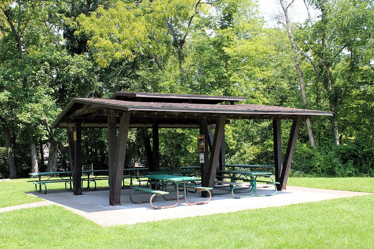
Wildcat Den State Park (Muscatine) · East Central Iowa · Iowa
Sandstone canyons and towering formations like Steamboat Rock and Devil's Punchbowl, anchored by an operational 1848 water-powered grist mill.
Photo: Farragutful · CC BY-SA 4.0
Preparation Canyon State Park (Moorhead) · Great Plains & Heartland · Iowa
Knife-edge windblown glacial silt ridges rising 200 feet above the Missouri River Valley—a landform rare outside China's Yellow River plateau.
Photo: Unknown authorUnknown author or not provided · Public domain