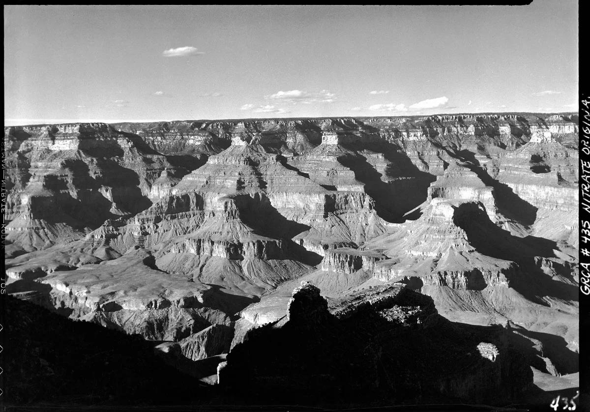
Grand Canyon National Park · Grand Canyon & Arizona · Arizona
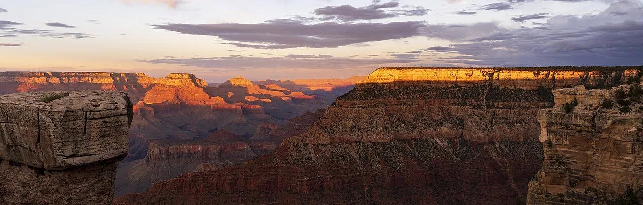
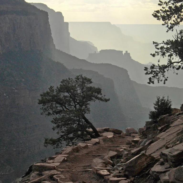
Bright Angel Trail
The premier corridor trail carving from South Rim village through 4,380 vertical feet of layered geology to the Colorado River.
- Route
- 6 mi
- Climb
- 2,110 ft
Browse & Discover
Ocean-bluff campgrounds, desert boulders and redwood picnic groves.
14 of 2,051 places
Drag to pan. Double-click, pinch or scroll to zoom. Keyboard: arrow keys and +/−. Cards below remain available.
Loading map… Browse the spot cards below at any time.

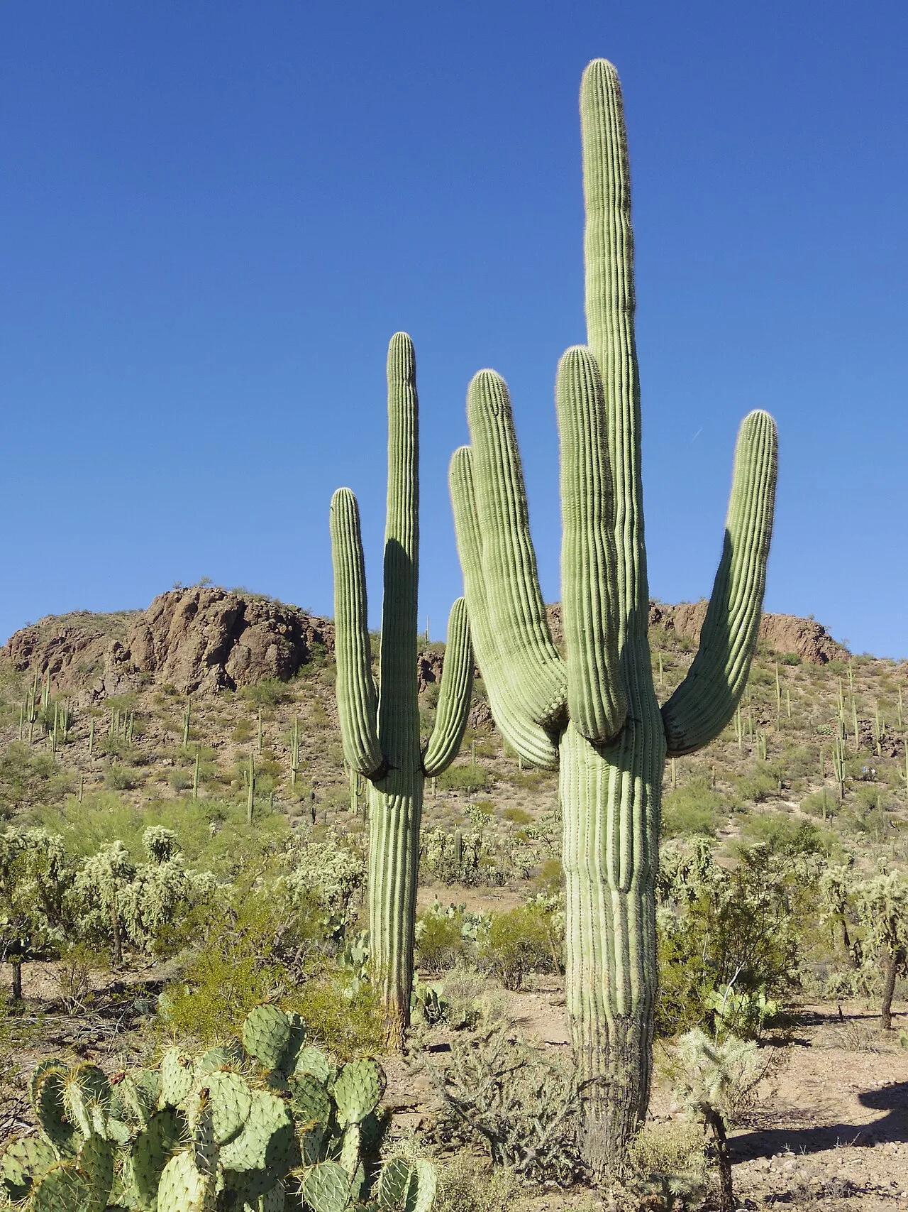
Saguaro National Park (Tucson Mountain District) · American Southwest · Arizona
Highest summit in the Tucson Mountains surrounded by dense forests of giant multi-armed saguaro cacti and prehistoric petroglyphs.
Photo: WClarke · CC BY-SA 3.0

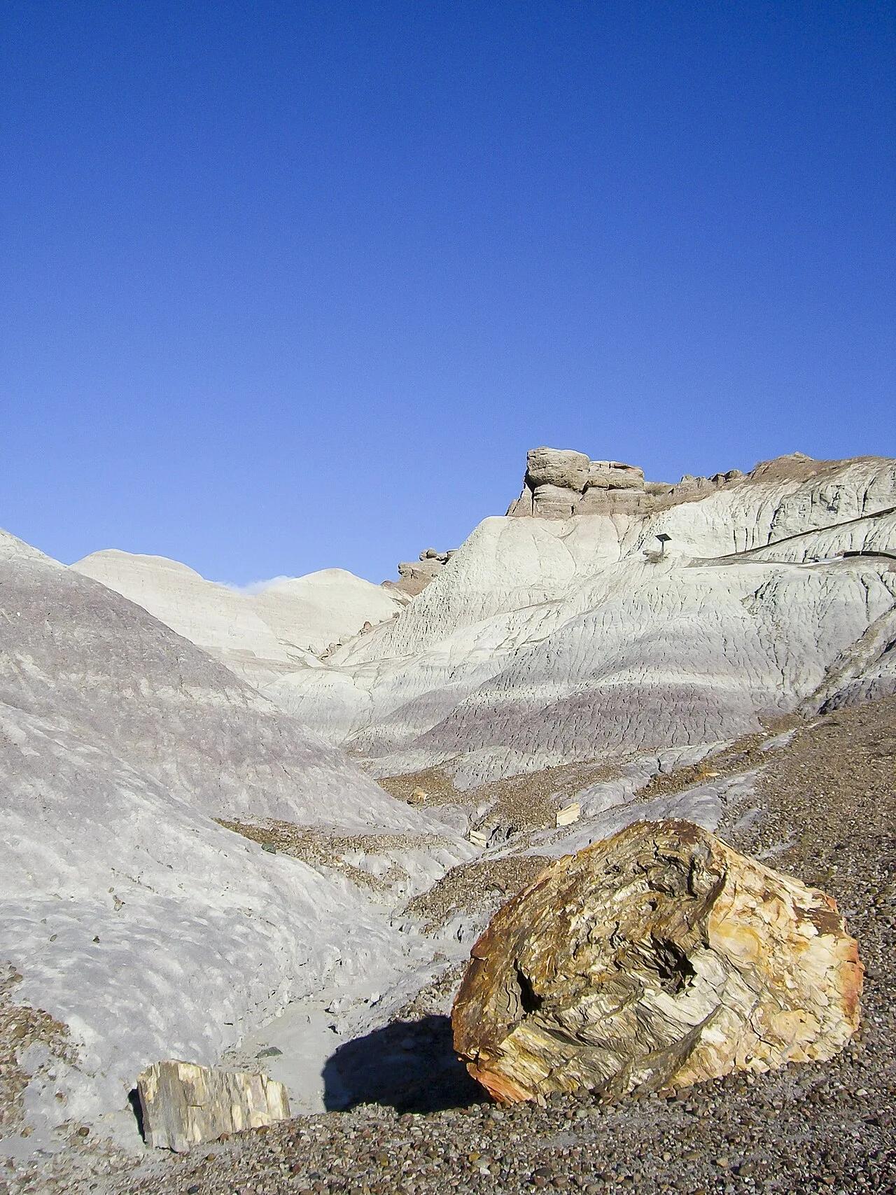
Petrified Forest National Park · American Southwest · Arizona
Paved pathway descending along a razorback spine into amethyst, blue, and lavender Triassic bentonite badlands studded with 225-million-year-old petrified logs.
Photo: Diego Delso · CC BY-SA 4.0

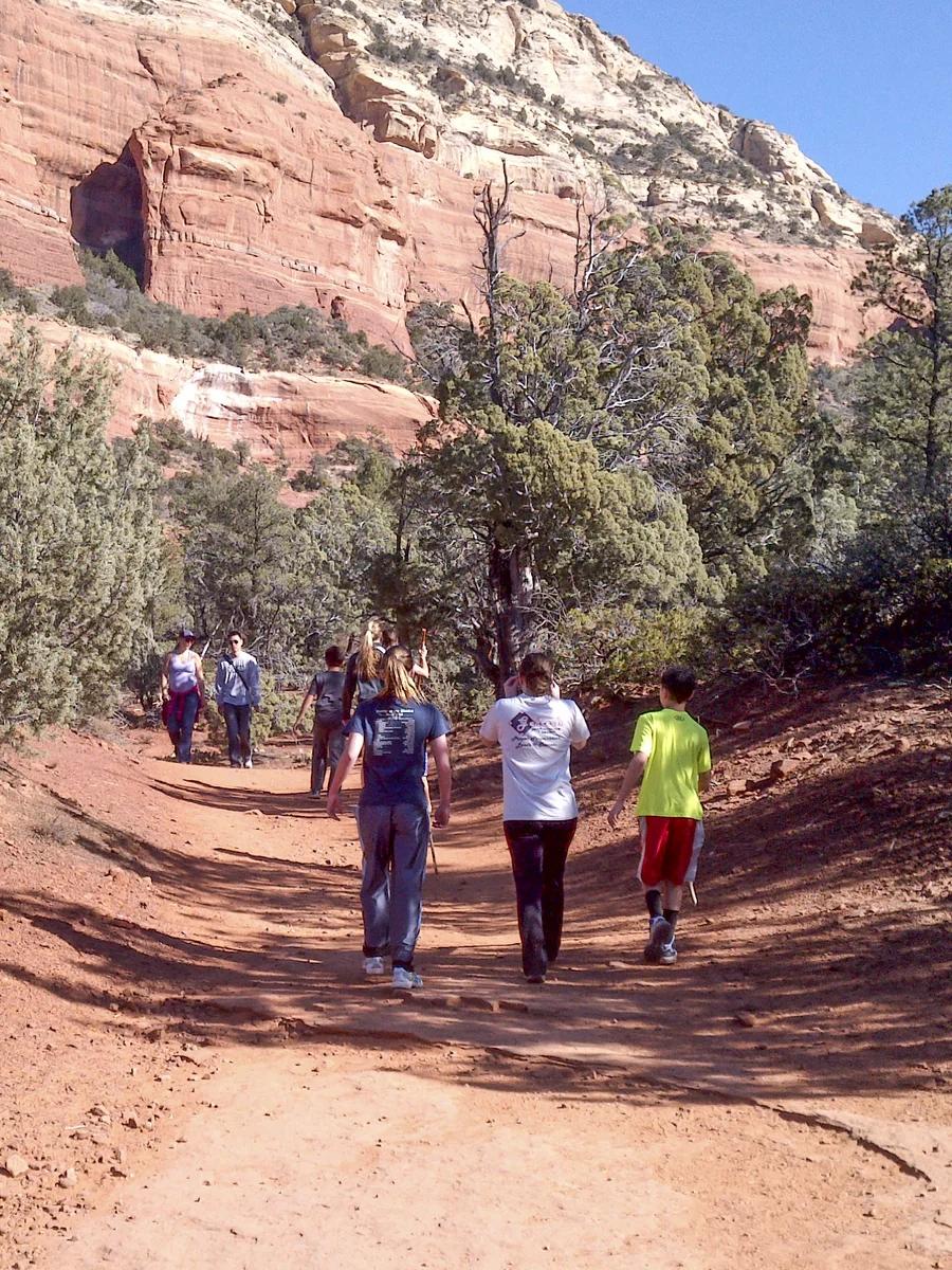
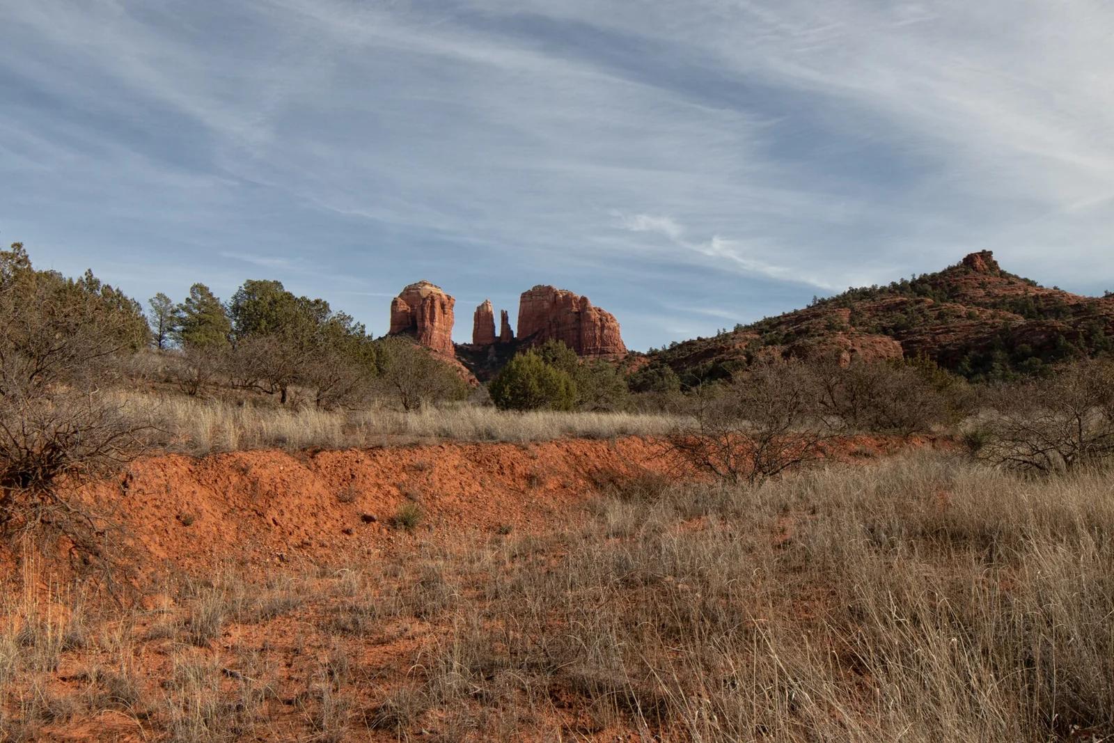
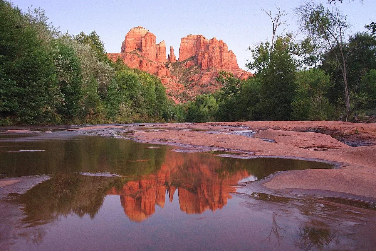
Coconino National Forest (Sedona) · Grand Canyon & Northern Arizona · Arizona
Steep red Schnebly Hill sandstone ledges and short rock-chimney scramble to a dramatic saddle framed by crimson spires.
Photo: Adam Baker from Houston / Moscow / Toulouse (travel a lot) · CC BY 2.0

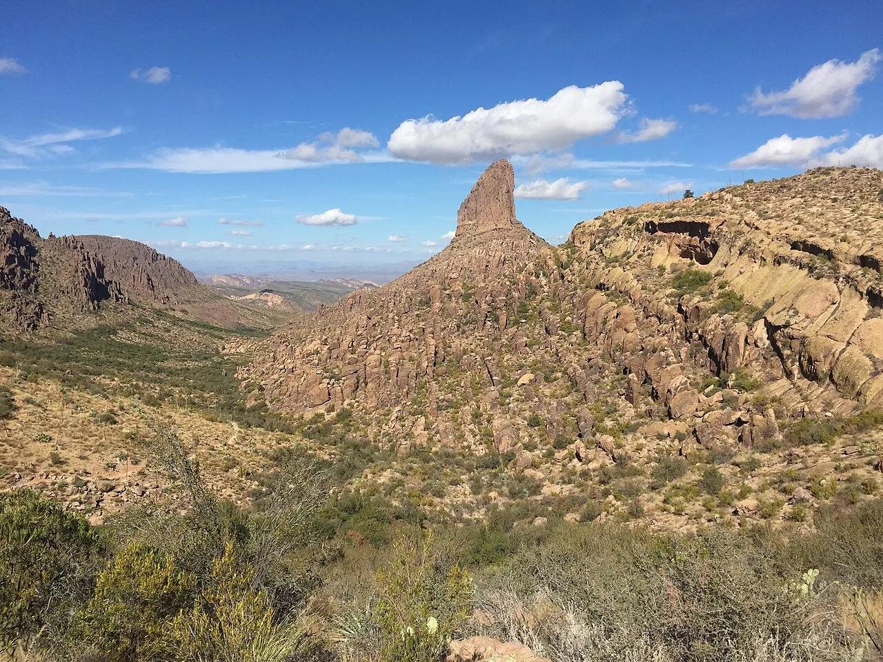
Tonto National Forest (Superstition Wilderness) · Southwest & Sonoran Desert · Arizona
Sonoran saguaro canyon climbing to a breezy volcanic tuff saddle directly facing the 4,555-foot spire of Weavers Needle.
Photo: Andrew Z. Colvin · CC BY-SA 4.0