Hiking trail
4 photosAcadia National Park · New England & Adirondacks · Maine
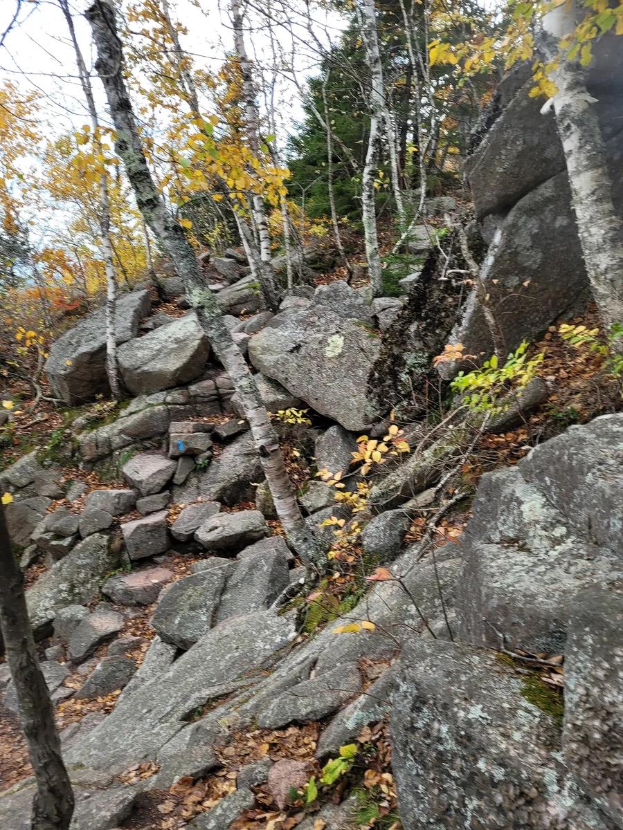
Precipice Trail
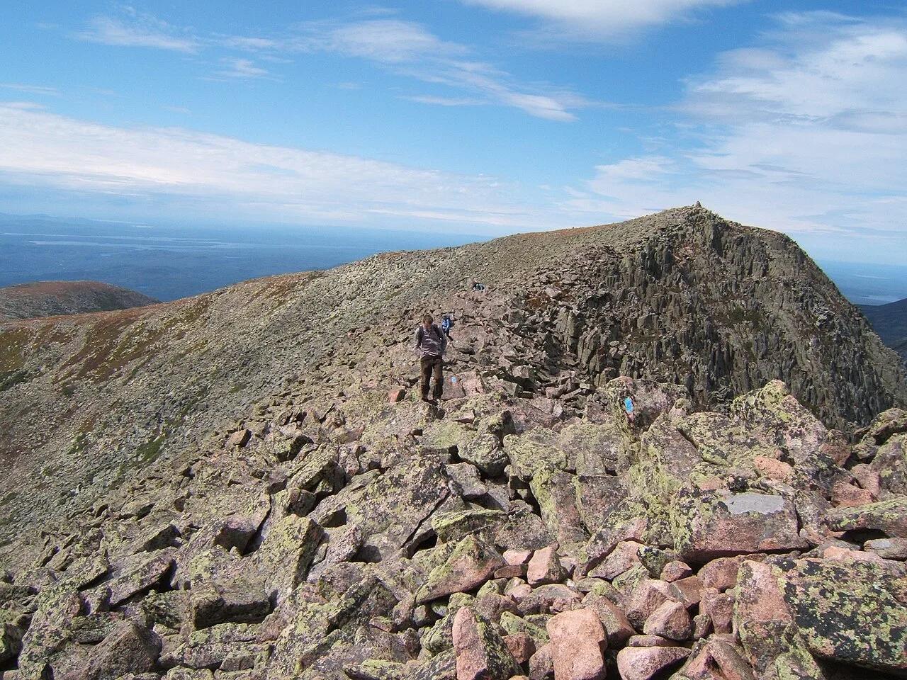
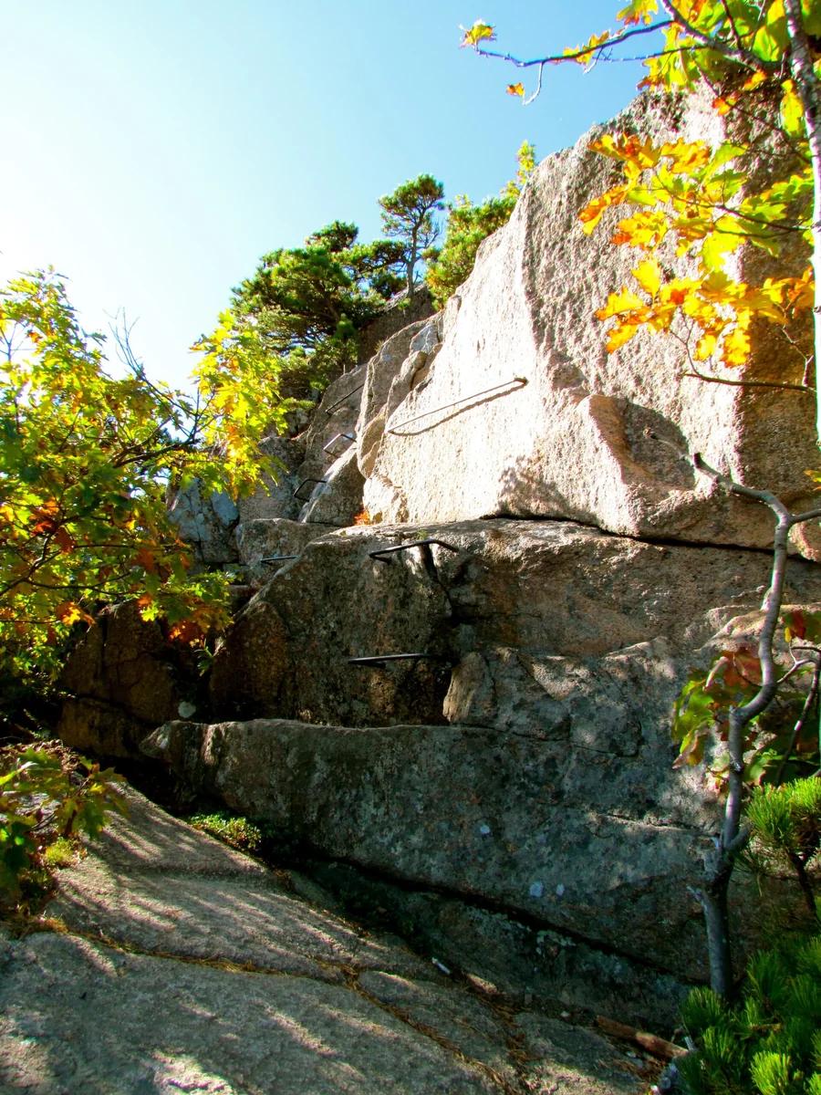
Acadia's most thrilling and rugged iron-rung route, scaling the vertical granite cliff face of Champlain Mountain.
- Route
- 3.2 mi
- Climb
- 1,050 ft
Browse & Discover
Ocean-bluff campgrounds, desert boulders and redwood picnic groves.
13 of 2,051 places
Drag to pan. Double-click, pinch or scroll to zoom. Keyboard: arrow keys and +/−. Cards below remain available.
Loading map… Browse the spot cards below at any time.

Acadia National Park · New England & Adirondacks · Maine
Traces pink granite coastal headlands from Sand Beach past the booming sea-surge of Thunder Hole to Otter Cliff.
Photo: w:User:Michael180 (User:ThePlaz on Commons) · CC BY-SA 2.5
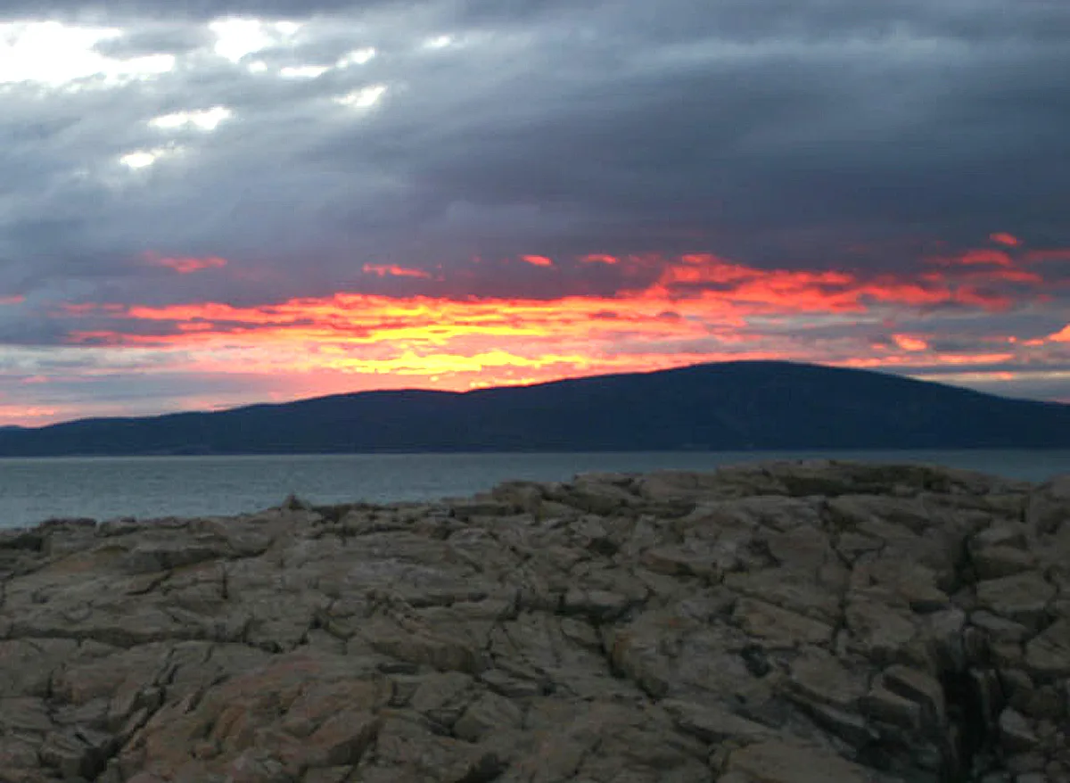
Acadia National Park · Downeast Maine · Maine
Ascend bare pink granite ridges with sweeping views over Frenchman Bay and the Porcupine Islands to the highest peak on the Atlantic coast.
Photo: The original uploader was NightThree at English Wikipedia. · CC BY 2.0
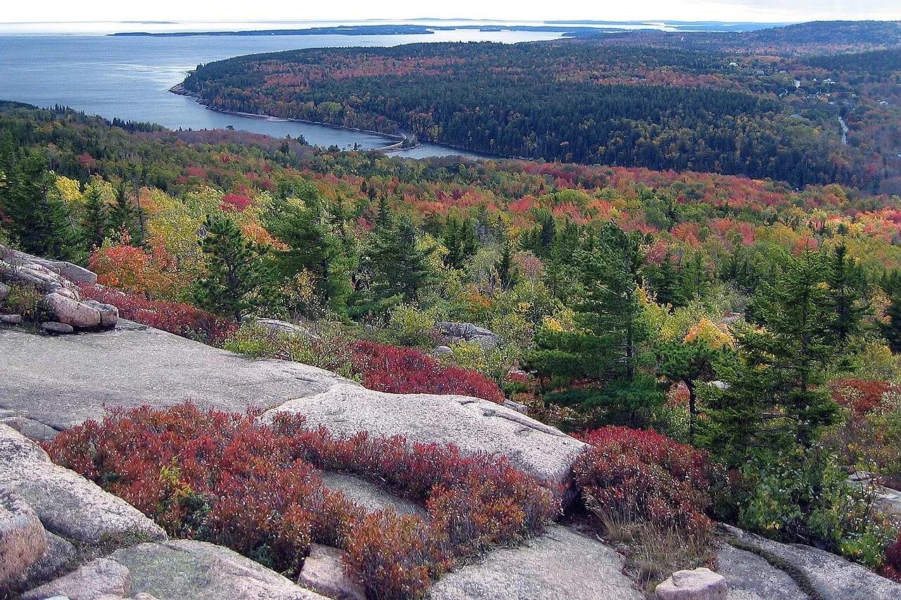
Acadia National Park · Downeast Maine · Maine
Granite ledges and prehistoric sea-caves carved during post-glacial rebound overlooking Sand Beach and the open Atlantic.
Photo: National Park Service / uncredited derivative work: User:Maps and stuff (crop... · Public domain
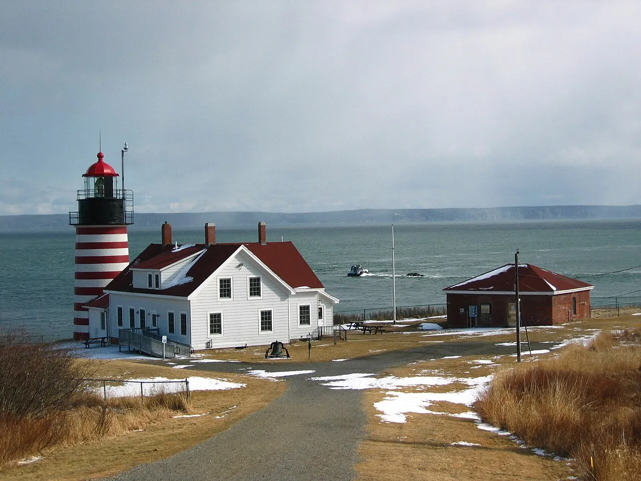
Quoddy Head State Park (Lubec) · Northeast & New England · Maine
Candy-striped lighthouse at the easternmost point of the United States, with basalt cliff trails above the Bay of Fundy tides and a sub-arctic coastal plateau bog.
Photo: M. Trindade Deramo · Public domain
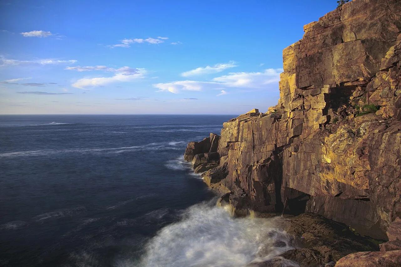
Acadia National Park (Mount Desert Island) · Northeast & New England · Maine
Spruce-fir coastal forest campground linked by footpath to the pink granite sea cliffs of Otter Point and Gorham Mountain.
Photo: National Park Service / Matthew Lambert (Acadia Youth Technology Team) deriva... · Public domain