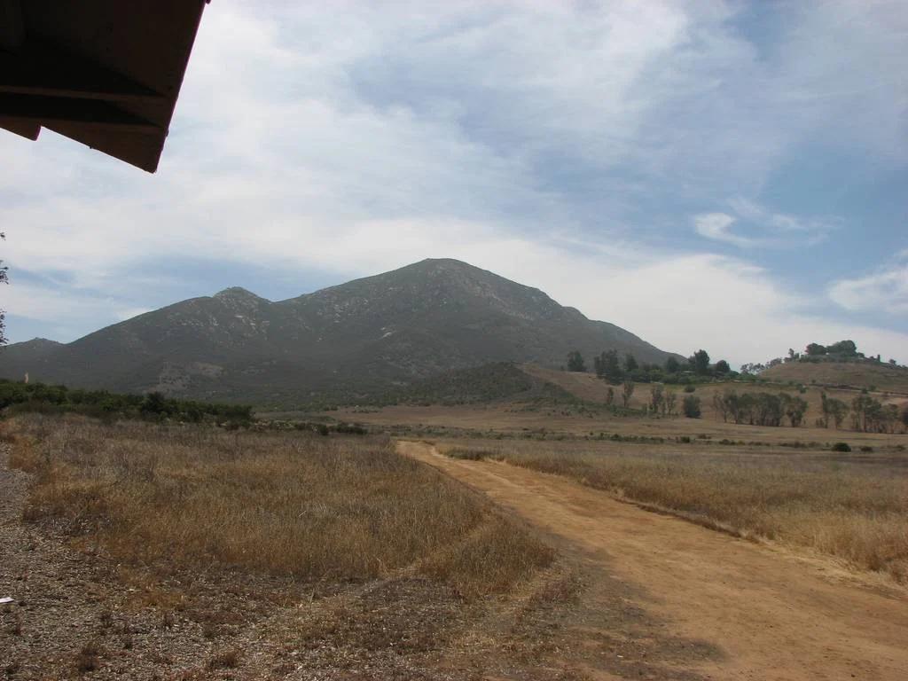
Peak
San Diego Coast & Mountains
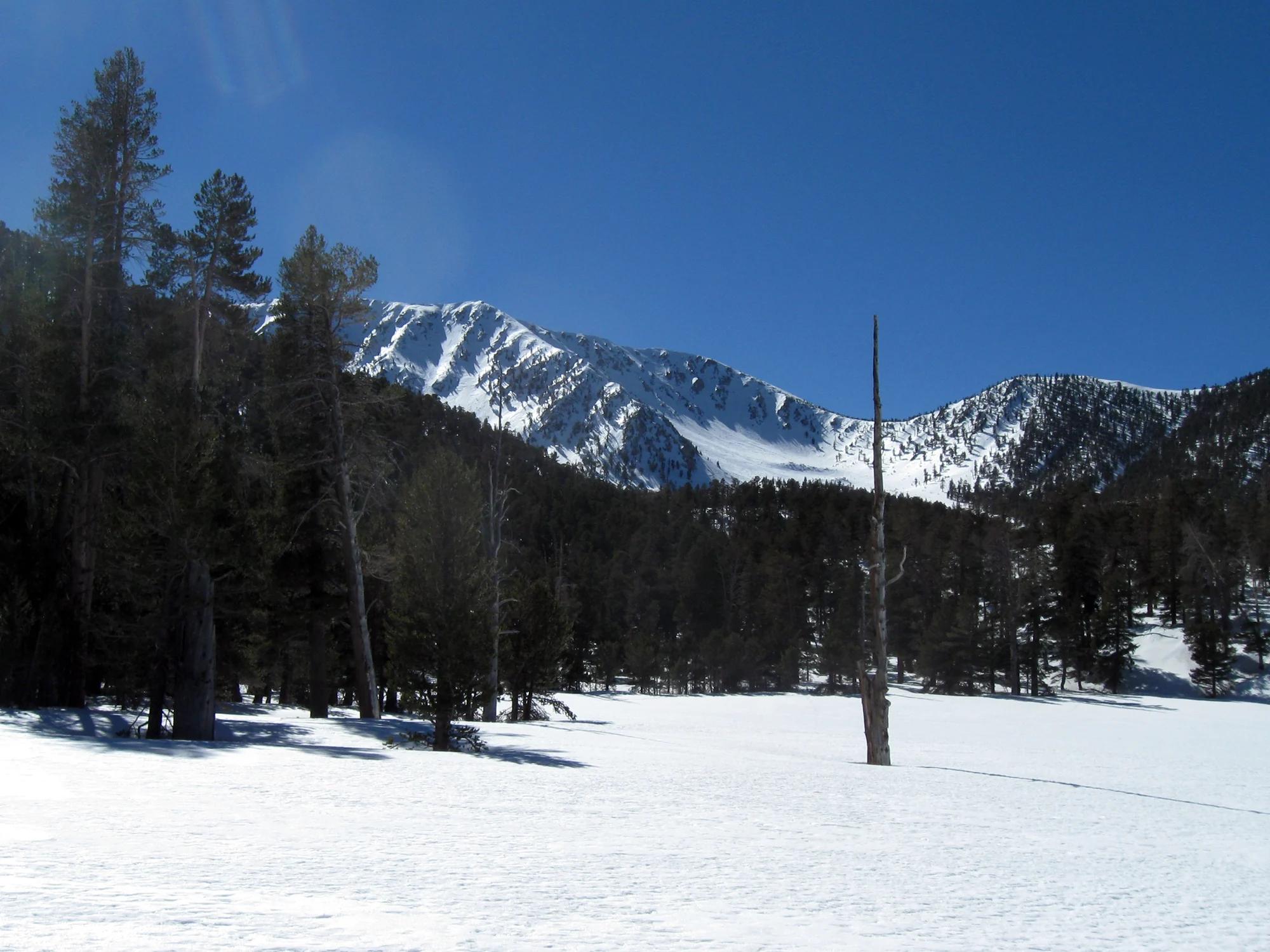
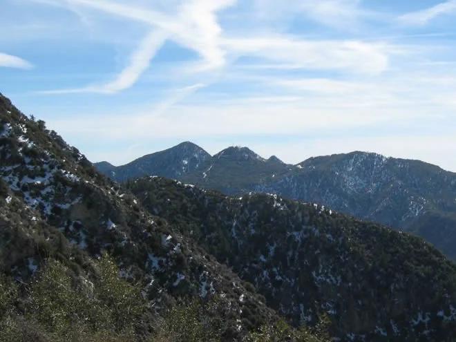
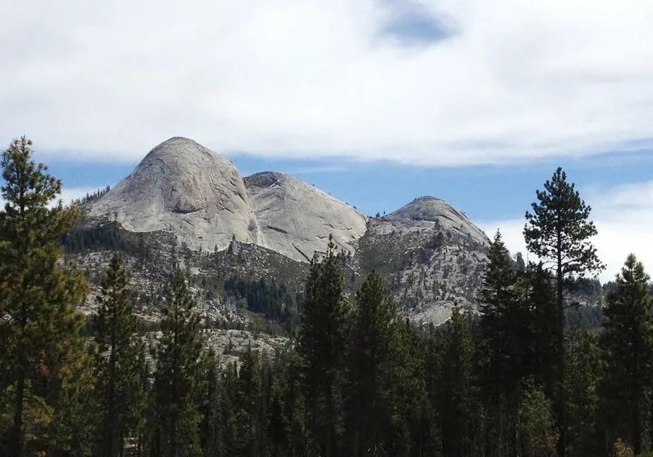
Iron Mountain
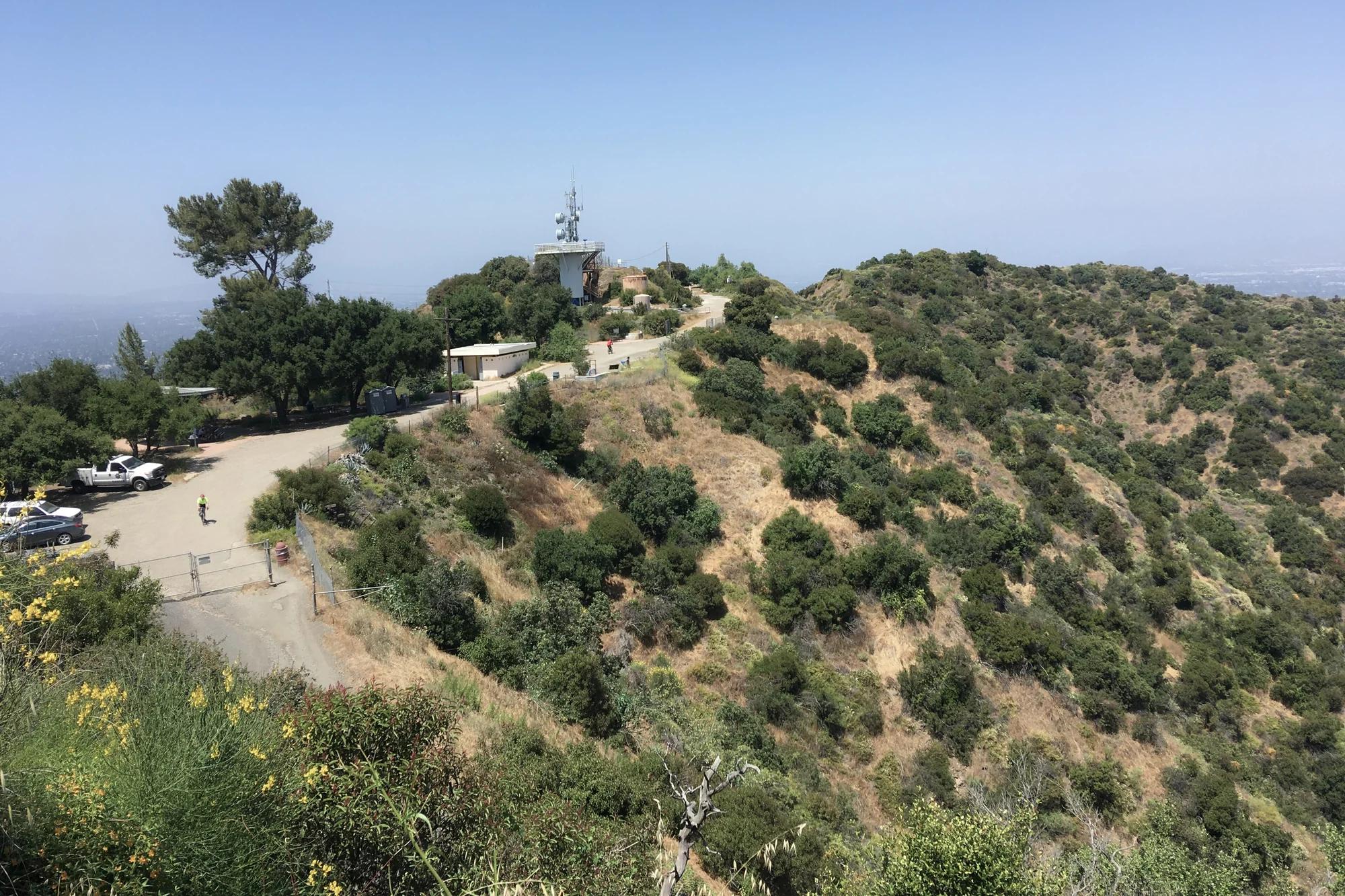
Verified California peak at 2,684 ft in San Diego Coast & Mountains.
- Route
- 2.9 mi
- Climb
- 361 ft
Browse & Discover
Overlooks, natural arches, sea caves, groves and wildlife reserves.
919 of 2,051 places
Drag to pan. Double-click, pinch or scroll to zoom. Keyboard: arrow keys and +/−. Cards below remain available.
Loading map… Browse the spot cards below at any time.

Joshua Tree National Park
A granite arch in the White Tank monzogranite, reached by a short sandy trail from the Twin Tanks parking area.
John D. from Pasadena, USA · CC BY 2.0. Source & image licence

Joshua Tree National Park
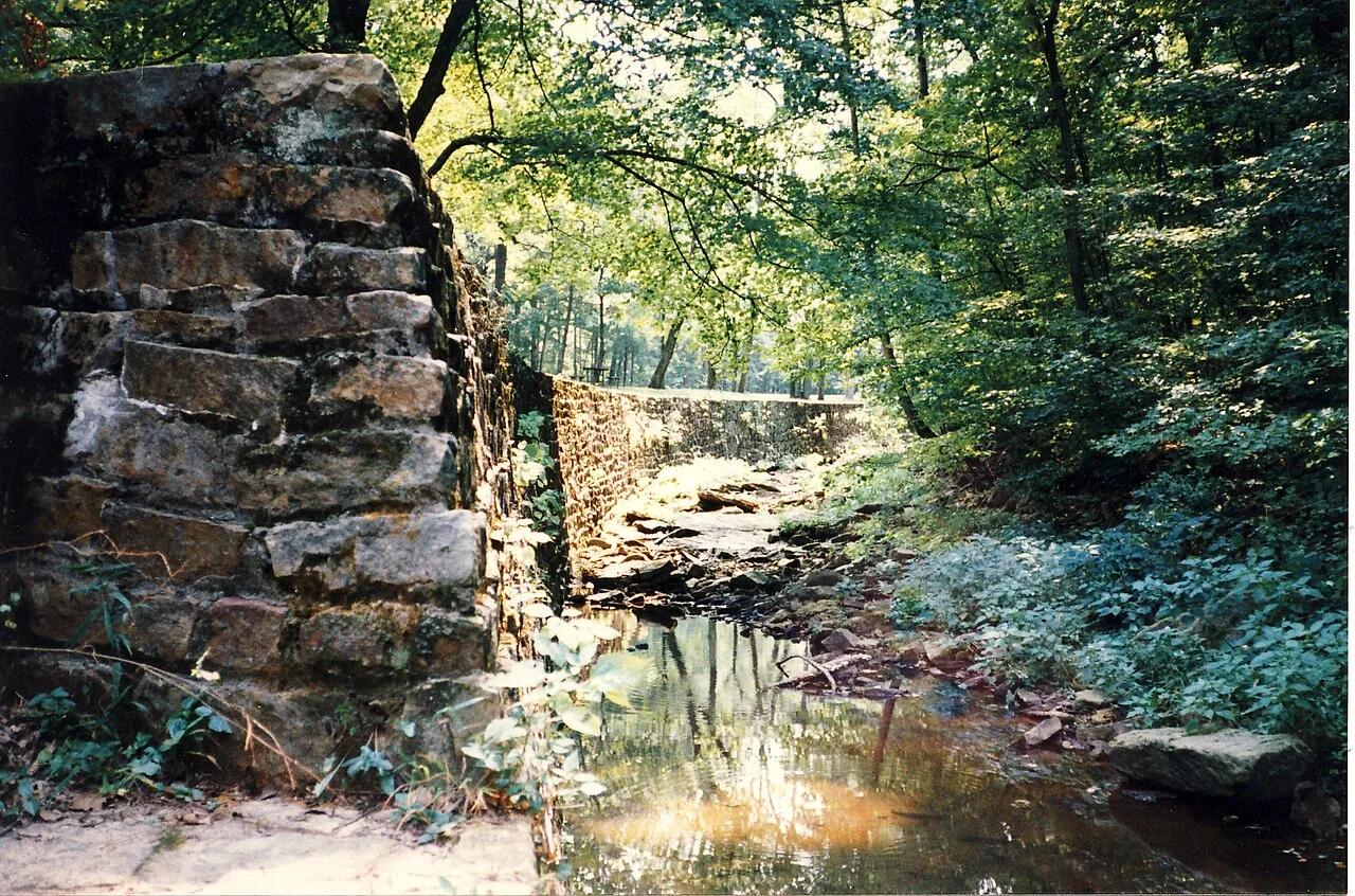
A short desert trail to the historic Barker Dam water-storage structure in Joshua Tree National Park.
Hannah Schwalbe / NPS · Public domain. Source & image licence

Russian Ridge Open Space Preserve
The highest named summit in San Mateo County, an open grassland top on Russian Ridge with views from the ocean to the Bay.
Justin Dolske from Cupertino, USA · CC BY-SA 2.0. Source & image licence

Eaton Canyon Natural Area
The waterfall at the head of lower Eaton Canyon, reached by a wide wash walk from the Eaton Canyon Nature Center and a final creekside scramble.
[scott.medling or en:user:scott.medling user:scott.medling from California, United States] · CC BY-SA 2.0. Source & image licence

Escondido Canyon Park
A multi-tiered waterfall in Escondido Canyon above Malibu. The maintained trail ends at the base of the mossy lower tier.
Santa Monica Mountains National Recreation Area · Public domain. Source & image licence

Mount Tamalpais Watershed
A winter-and-spring cascade on Cataract Creek just below the Laurel Dell picnic area, reached downhill along the Cataract Trail from Rock Spring.
Richard Wood · CC BY-SA 3.0. Source & image licence

Joshua Tree National Park
One of the best-preserved stamp mills in Joshua Tree National Park, at the site of the Lost Horse gold mine.
Joseph from Cabin On The Road, USA · CC BY-SA 2.0. Source & image licence

Angeles National Forest
A waterfall of about fifty feet filling the head of a narrow, shaded canyon, a short walk upstream from Millard Campground.
Region 5 Photography · Public domain. Source & image licence

Mount Tamalpais State Park
The summit of Mount Tamalpais, a short plank-and-rock climb from the East Peak visitor area to the fire lookout above the whole Bay Area.
Chris Koerner from St. Louis, USA · CC BY-SA 2.0. Source & image licence

Inyo National Forest
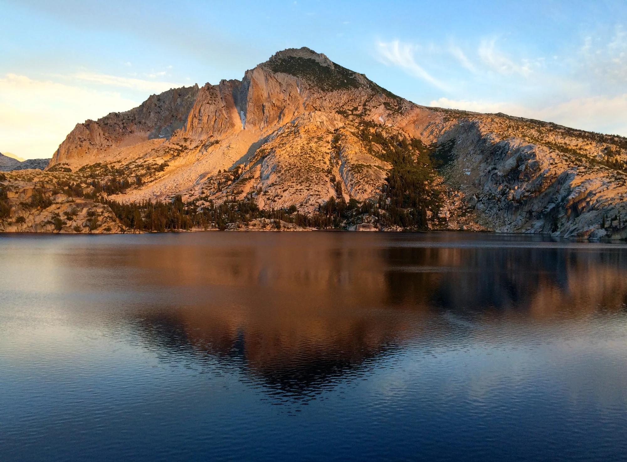
A quiet lake in the Ansel Adams Wilderness beneath Parker Peak, reached through sage and an aspen-lined creek canyon off the June Lake Loop.
Mark Gunn from Novato, California, USA · CC BY 2.0. Source & image licence

Pfeiffer Big Sur State Park
A 60-foot waterfall on Pfeiffer-Redwood Creek, reached through the redwoods of Pfeiffer Big Sur State Park on a trail twice rebuilt — after the 2008 Basin Complex Fire and again after 2023 storm damage.
Joe Mabel · CC BY-SA 4.0. Source & image licence

Santa Monica Mountains National Recreation Area
The highest point in the Santa Monica Mountains, climbed from the Mishe Mokwa trailhead along the Backbone Trail at Circle X Ranch.
Wasquewhat · CC BY-SA 4.0. Source & image licence

Angeles National Forest
A 50-foot single drop into a shallow plunge pool, 1.7 mi up Big Santa Anita Canyon. Shaded the entire way in. The work is all on the walk out.
U.S. Department of Agriculture / USDA USFS · CC BY 2.0. Source & image licence

Santa Monica Mountains National Recreation Area
The ruins of the Roberts family ranch house at the end of the canyon-floor trail in Solstice Canyon, beside a small seasonal waterfall.
George Heras / Santa Monica Mountains National Recreation Area · Public domain. Source & image licence

Pfeiffer Big Sur State Park
An overlook above the Big Sur River valley, looking north over the redwoods toward Point Sur and the Pacific.
King of Hearts · CC BY-SA 3.0. Source & image licence
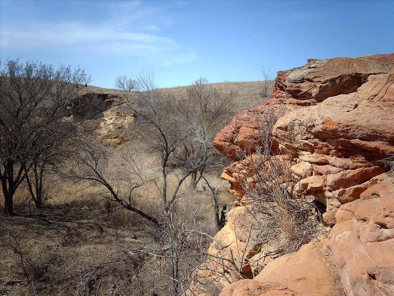
Kanopolis State Park (Smoky Hills) · Great Plains & Heartland · Kansas
Red Dakota Sandstone box canyons, buffalo-trackways, and recess caves open to hikers, trail runners, and mountain bikers.
Photo: Original uploader was Nationalparks at en.wikipedia · CC BY-SA 2.5
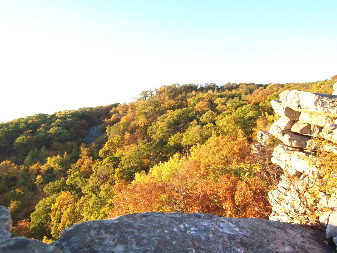
South Mountain State Park / Appalachian Trail · Western Maryland · Maryland
A dramatic 1,700-foot quartzite cliff platform on South Mountain overlooking Greenbrier Lake and the sprawling Cumberland Valley.
Photo: Flickr user: Bob Carney McHenry (Maryland) https://www.flickr.com/people/gotbob/ · CC BY 2.0
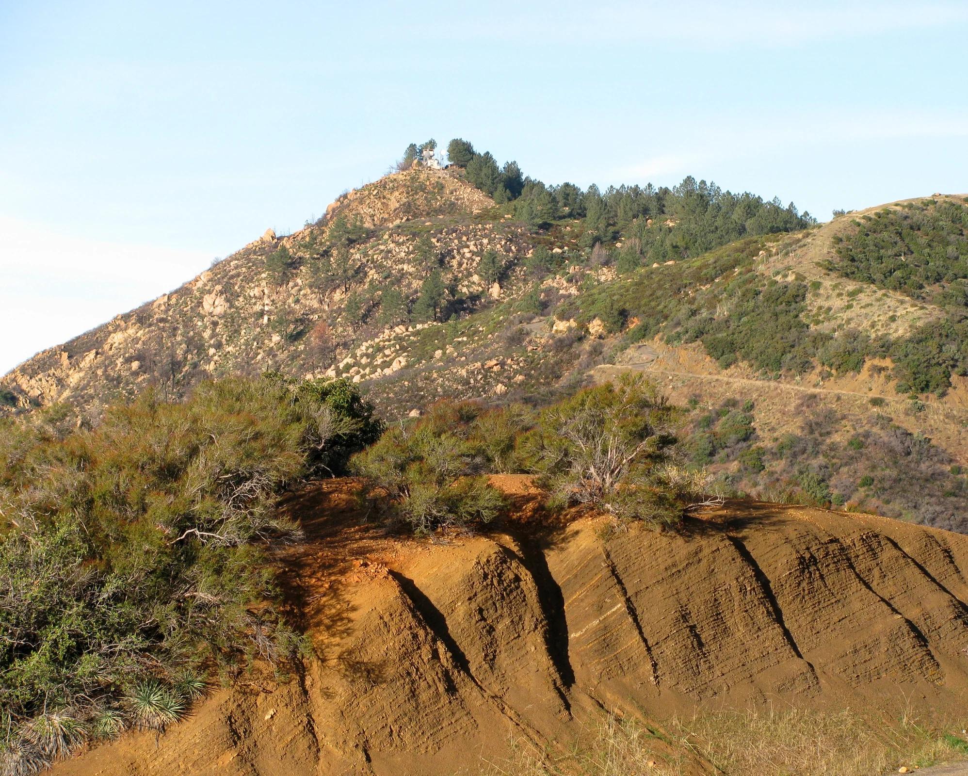
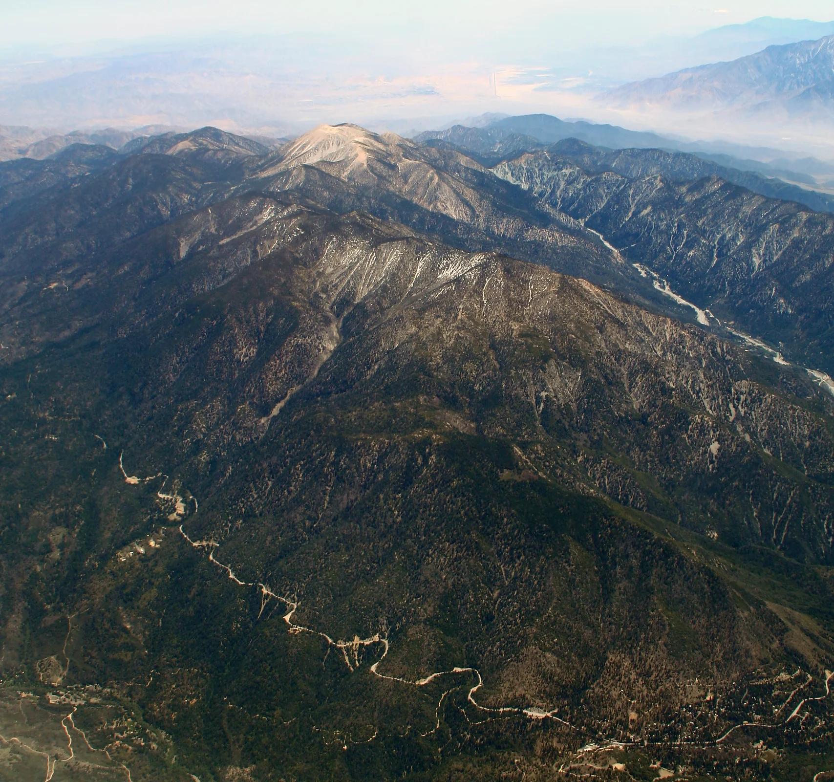
Central Coast
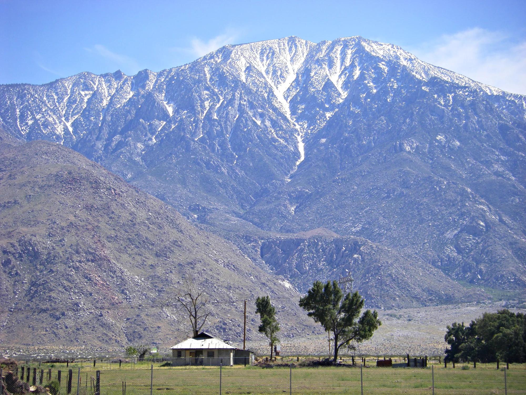
Verified California peak at 3,986 ft in Central Coast.
Photo: Antandrus at English Wikipedia · CC BY-SA 3.0
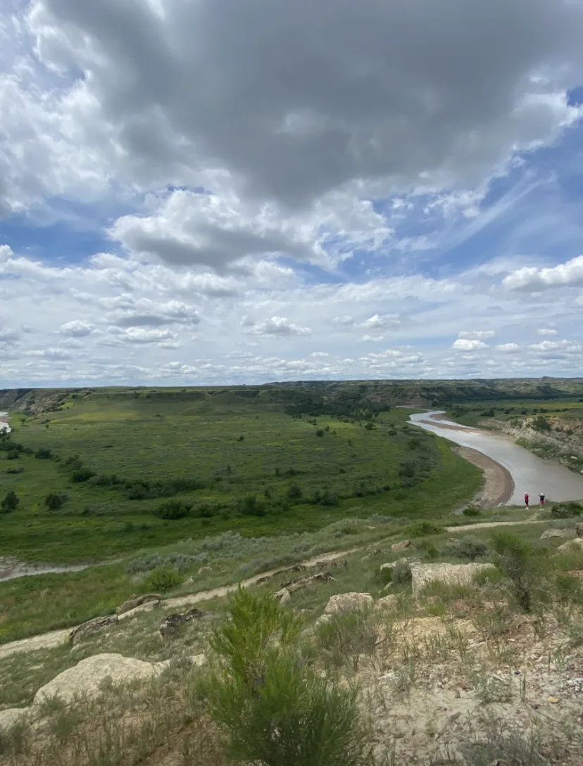
Theodore Roosevelt National Park (South Unit) · Badlands · North Dakota
Wind-sculpted sand and clay ridge overlooking an immense oxbow meander of the Little Missouri River, renowned as the premier sunset vista in the park.
Photo: Cedar Tree · CC BY-SA 4.0
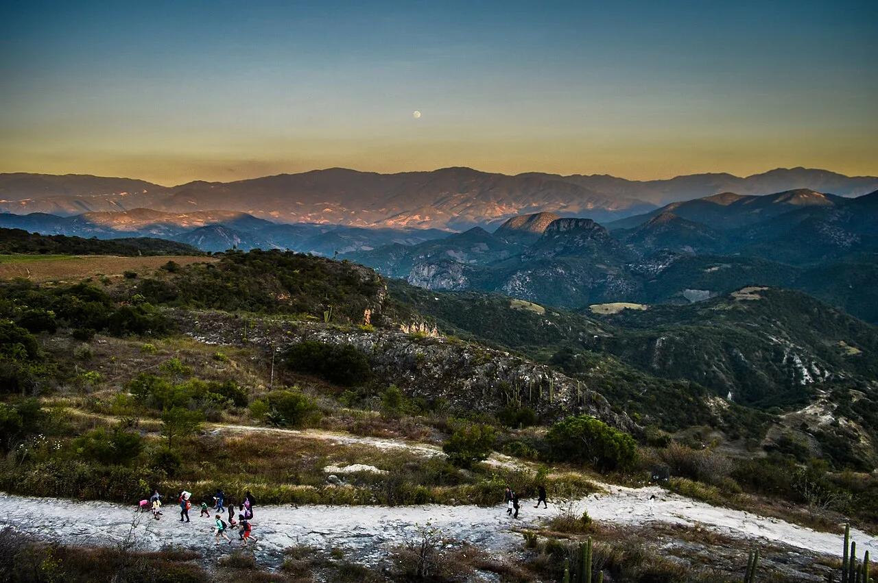
San Lorenzo Albarradas (Sierra Mixe) · Mexico & Central America · Mexico
Calcified travertine cliff formations resembling frozen white waterfalls, crowned with natural mineral infinity pools.
Photo: Nataly Gómez Gómez · CC BY-SA 4.0
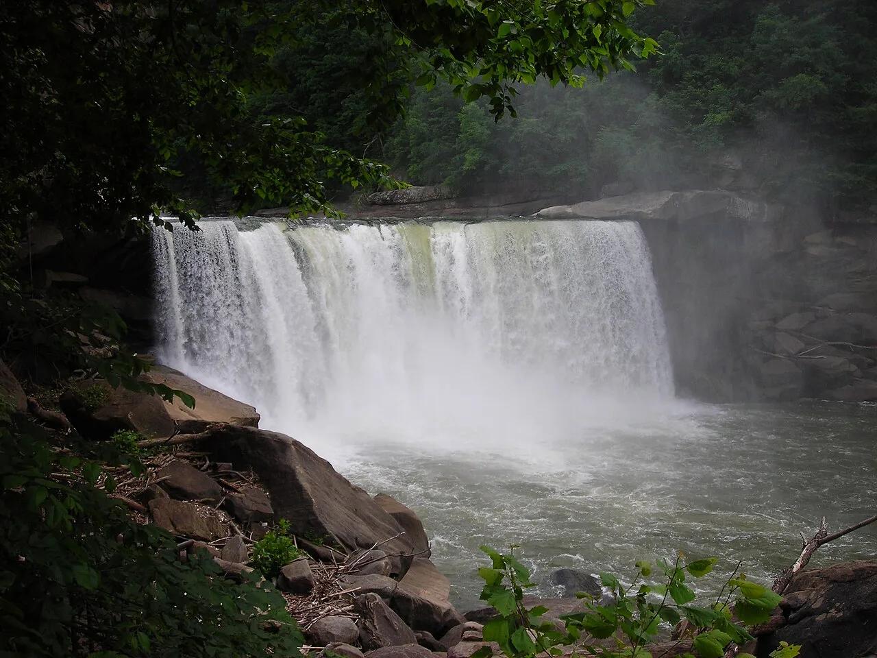
Cumberland Falls State Resort Park · Appalachian & Blue Ridge · Kentucky
125-foot-wide curtain waterfall on the Cumberland River—one of the only places on Earth that produces a regular lunar rainbow (moonbow).
Photo: No machine-readable author provided. Blinutne assumed (based on copyright cla... · CC BY-SA 3.0
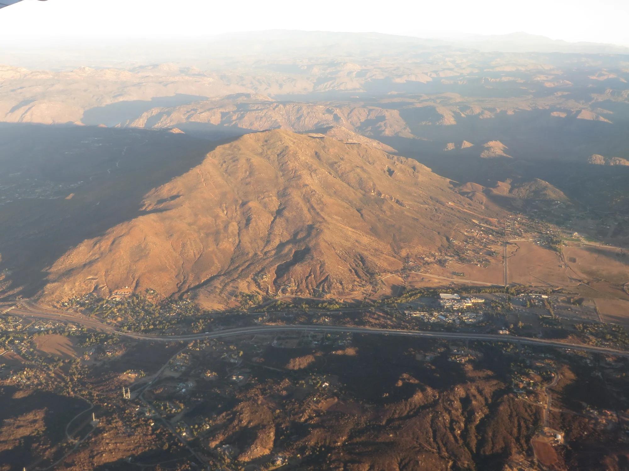
San Diego Coast & Mountains
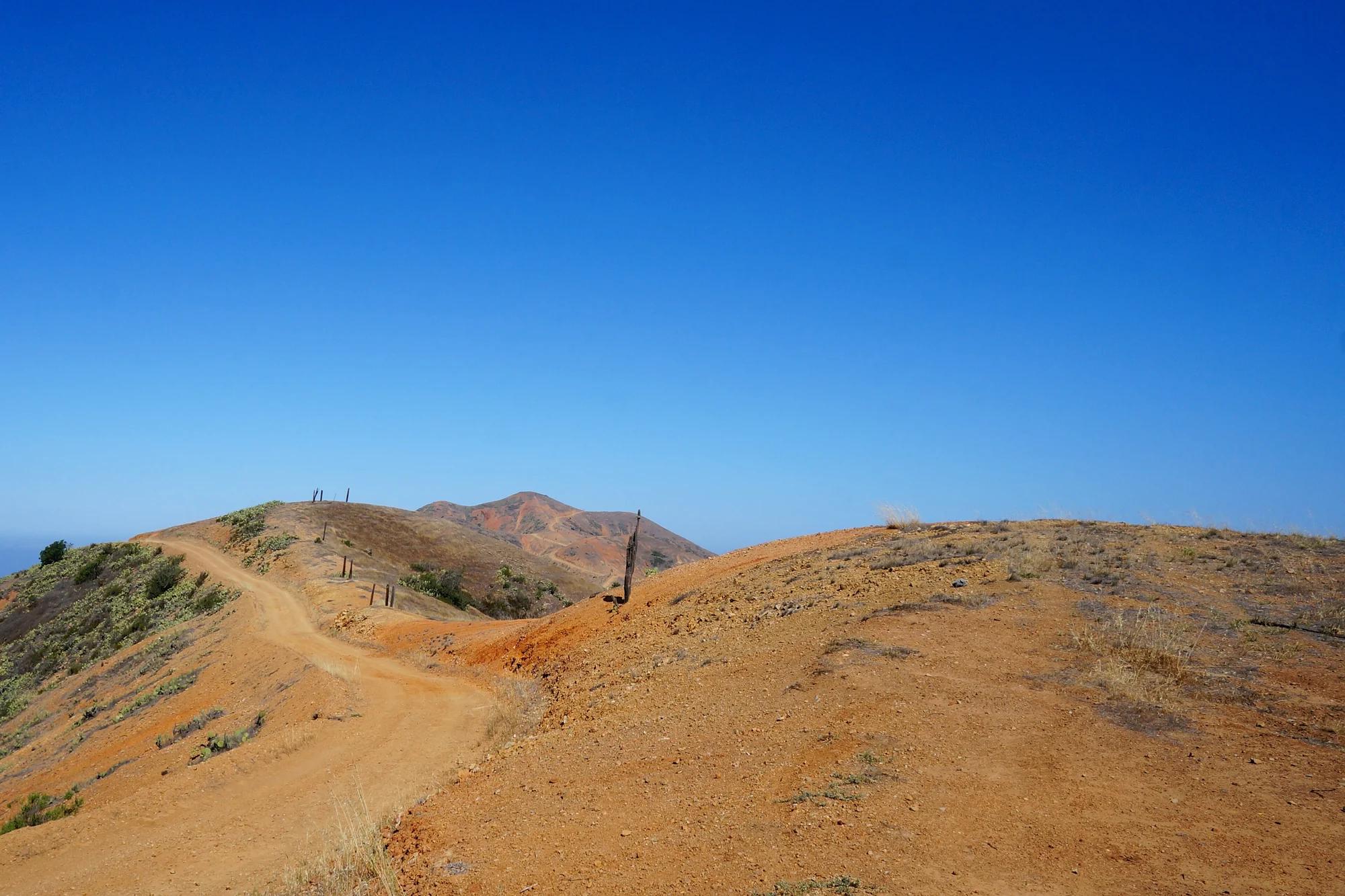
Verified California peak at 4,173 ft in San Diego Coast & Mountains.
Photo: Ken Lund from Reno, Nevada, USA · CC BY-SA 2.0