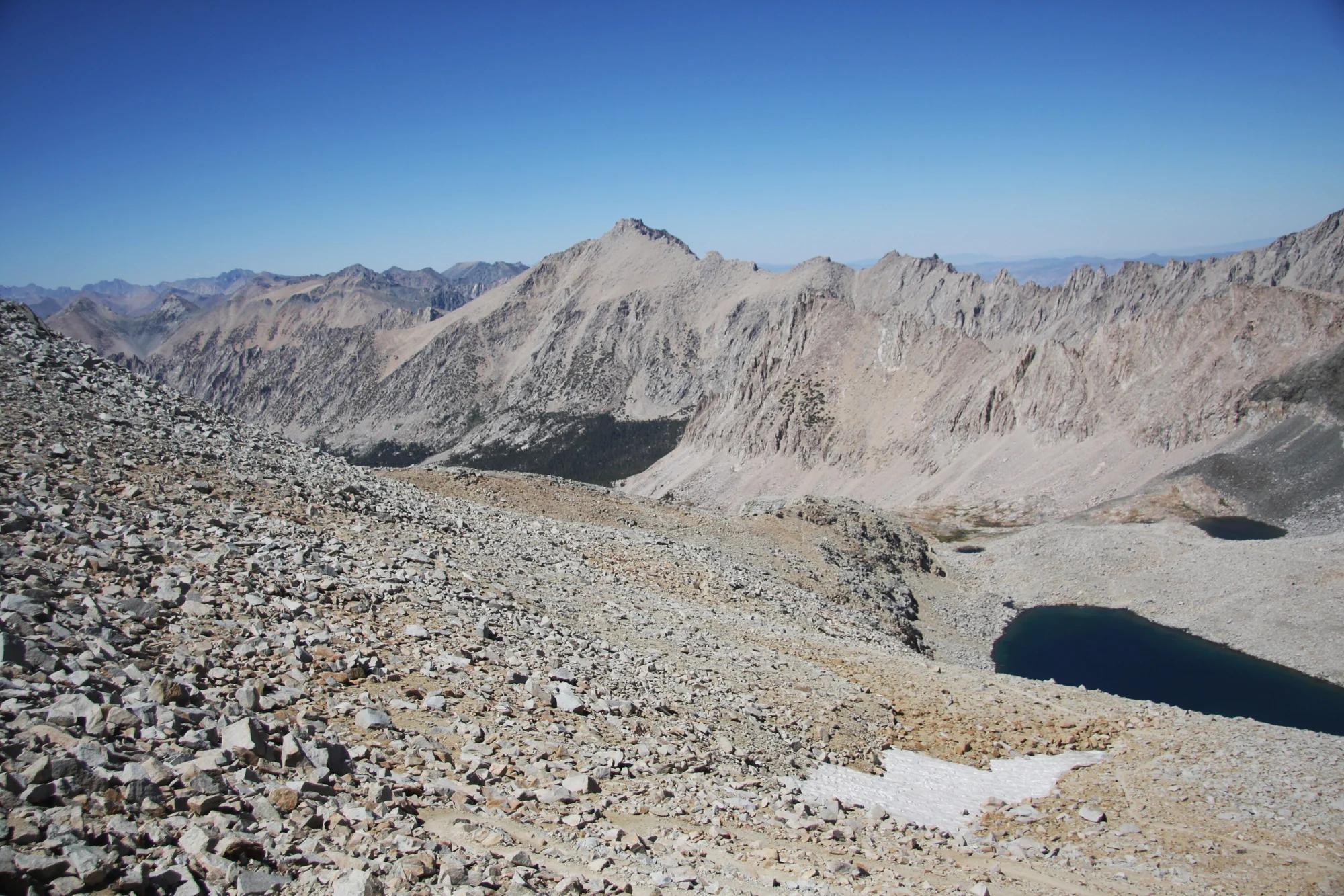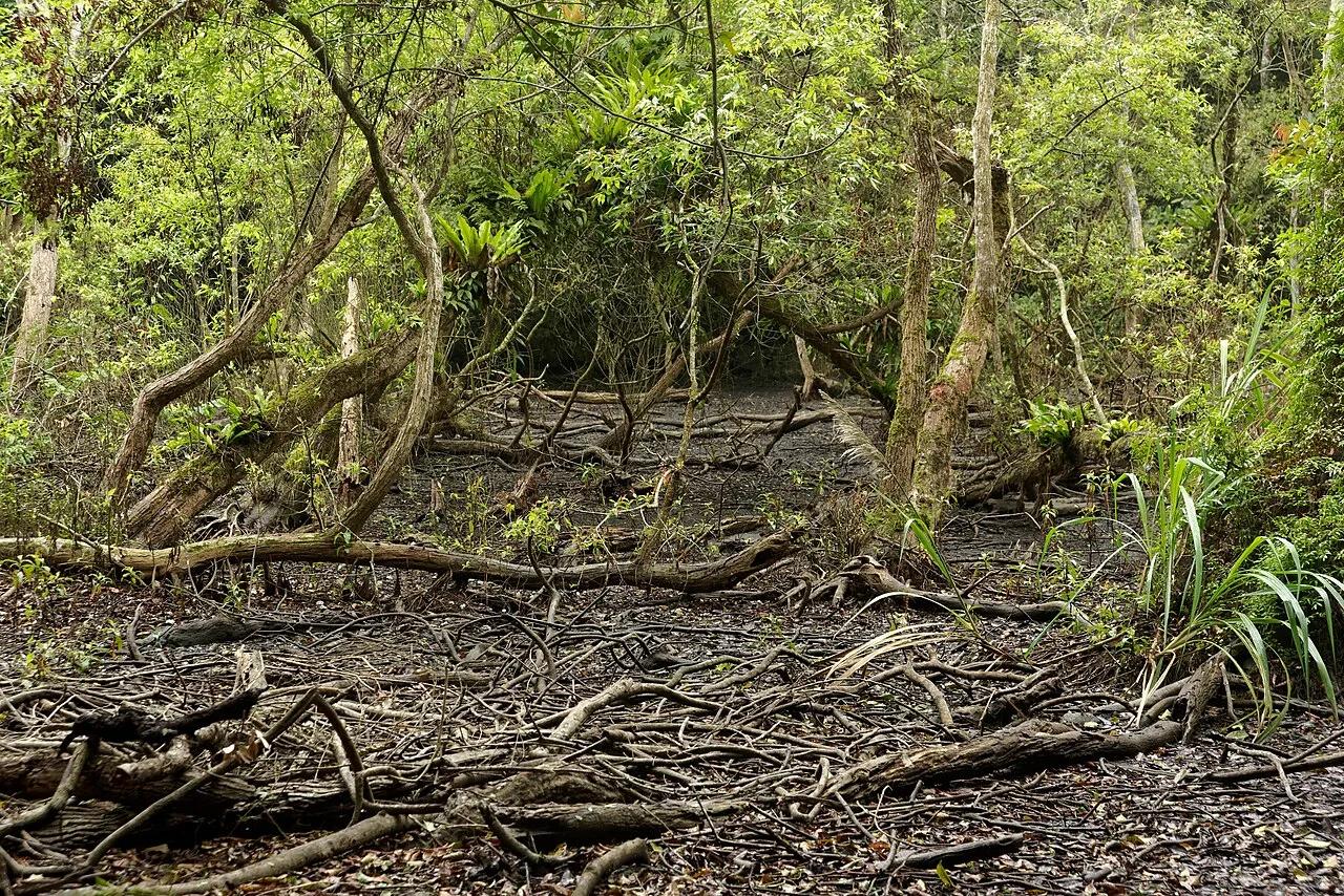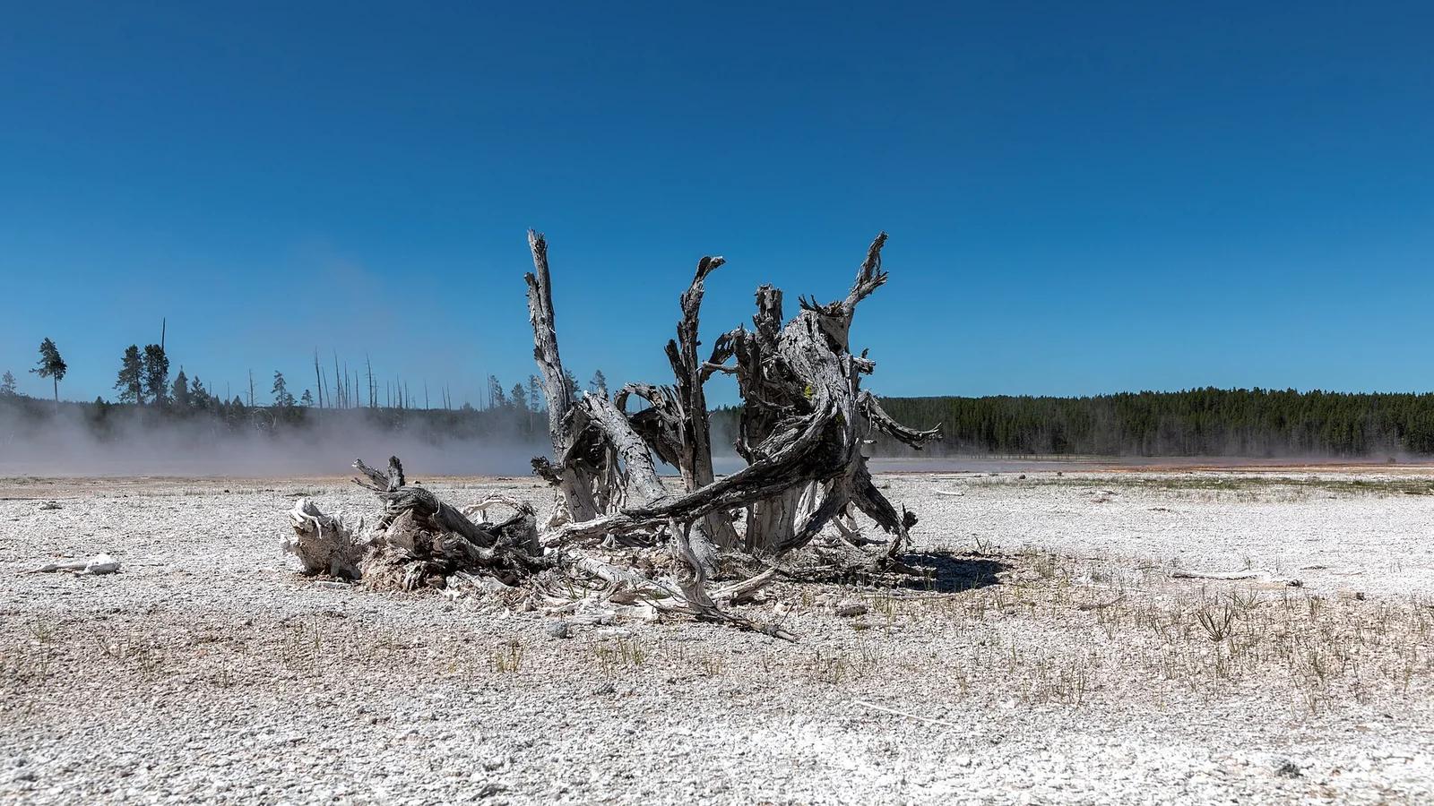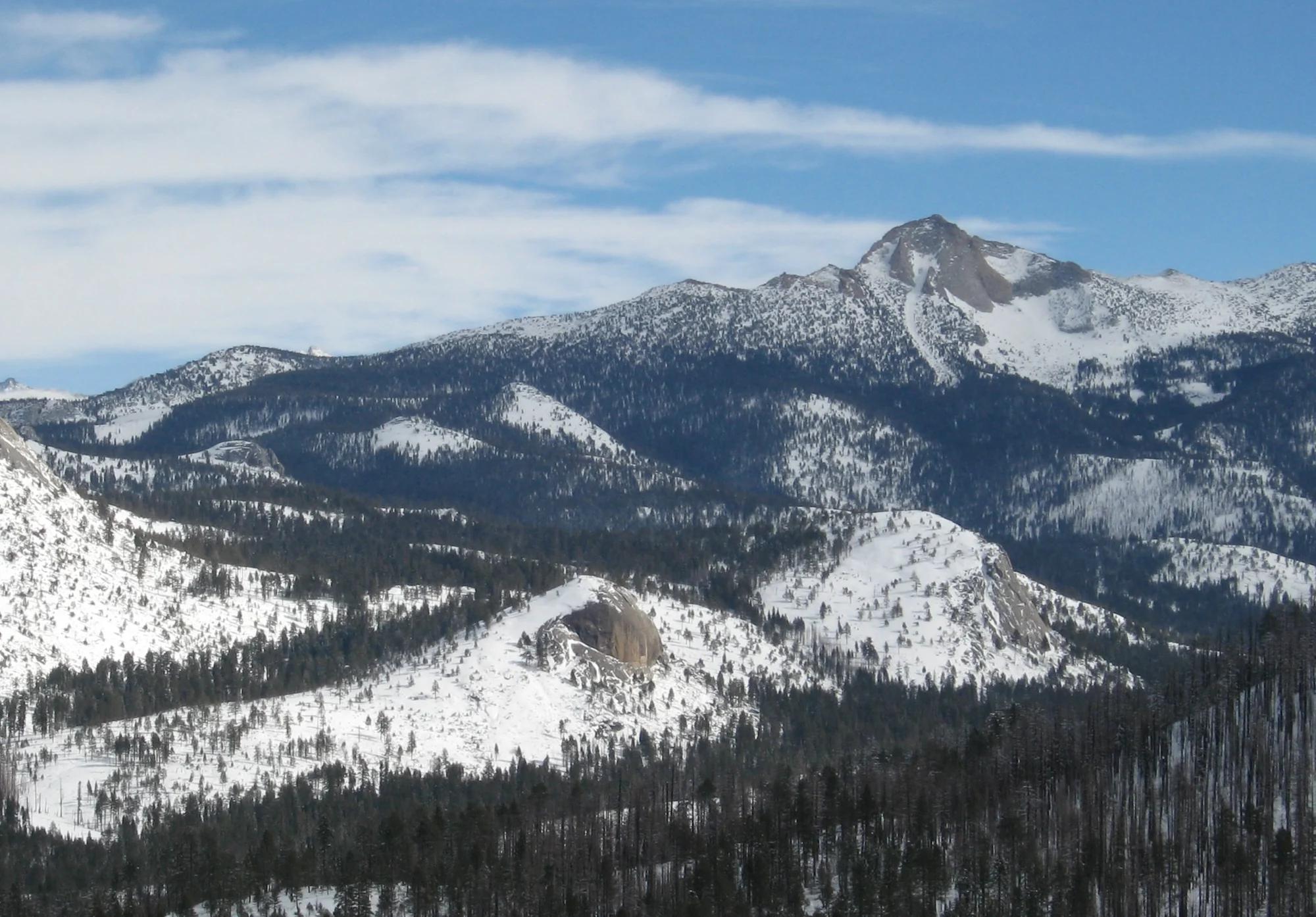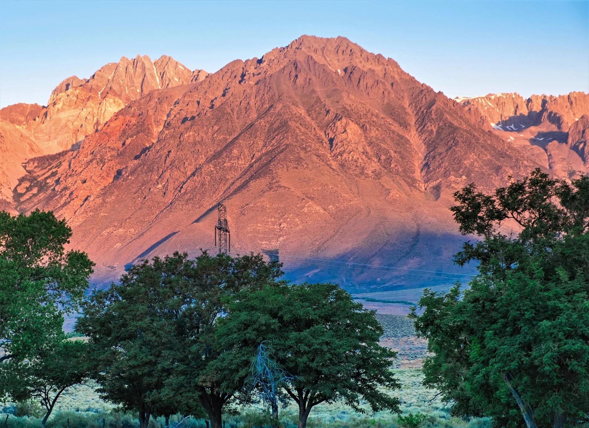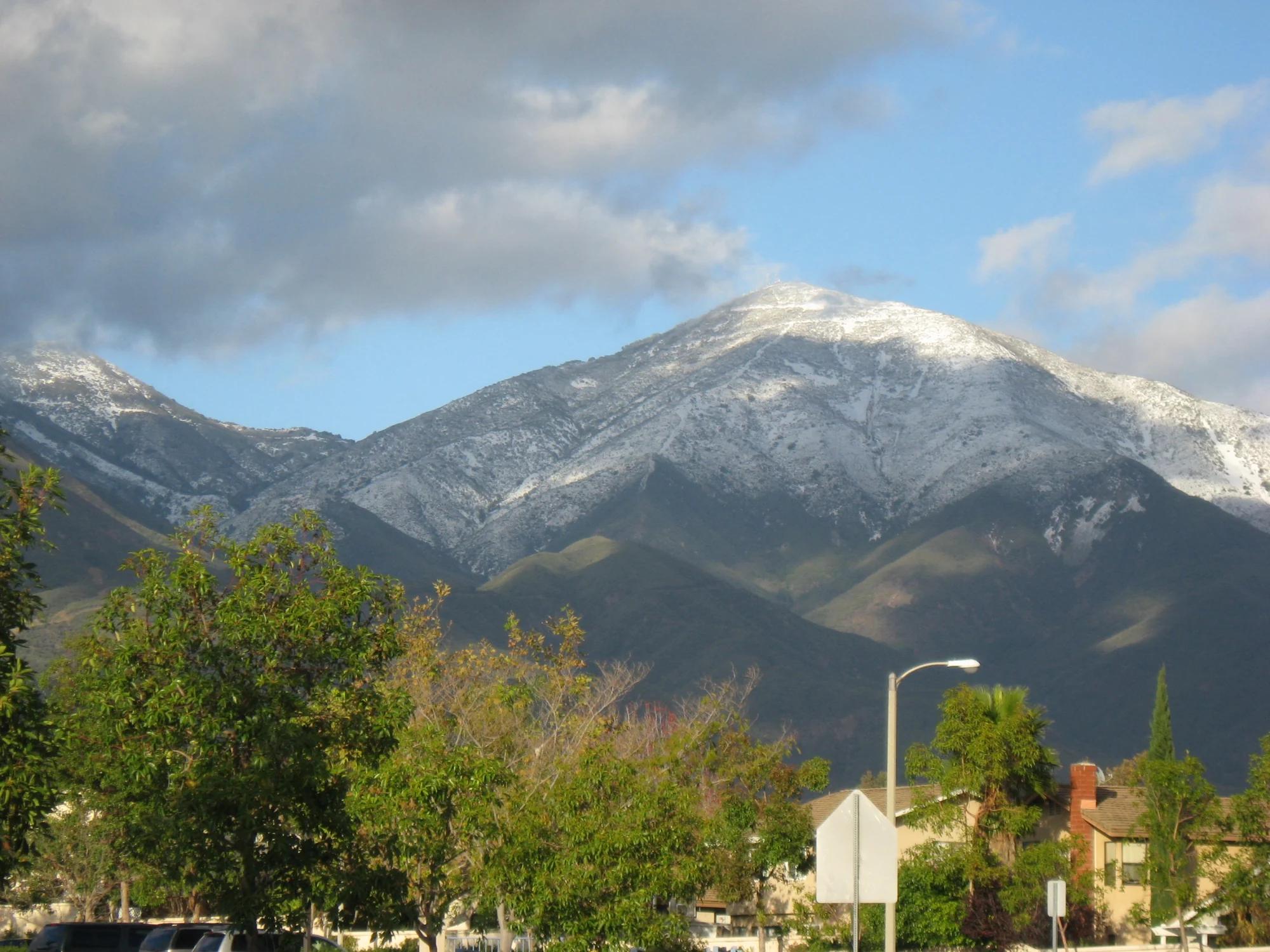
Peak
Cleveland National Forest · Central Valley & Foothills
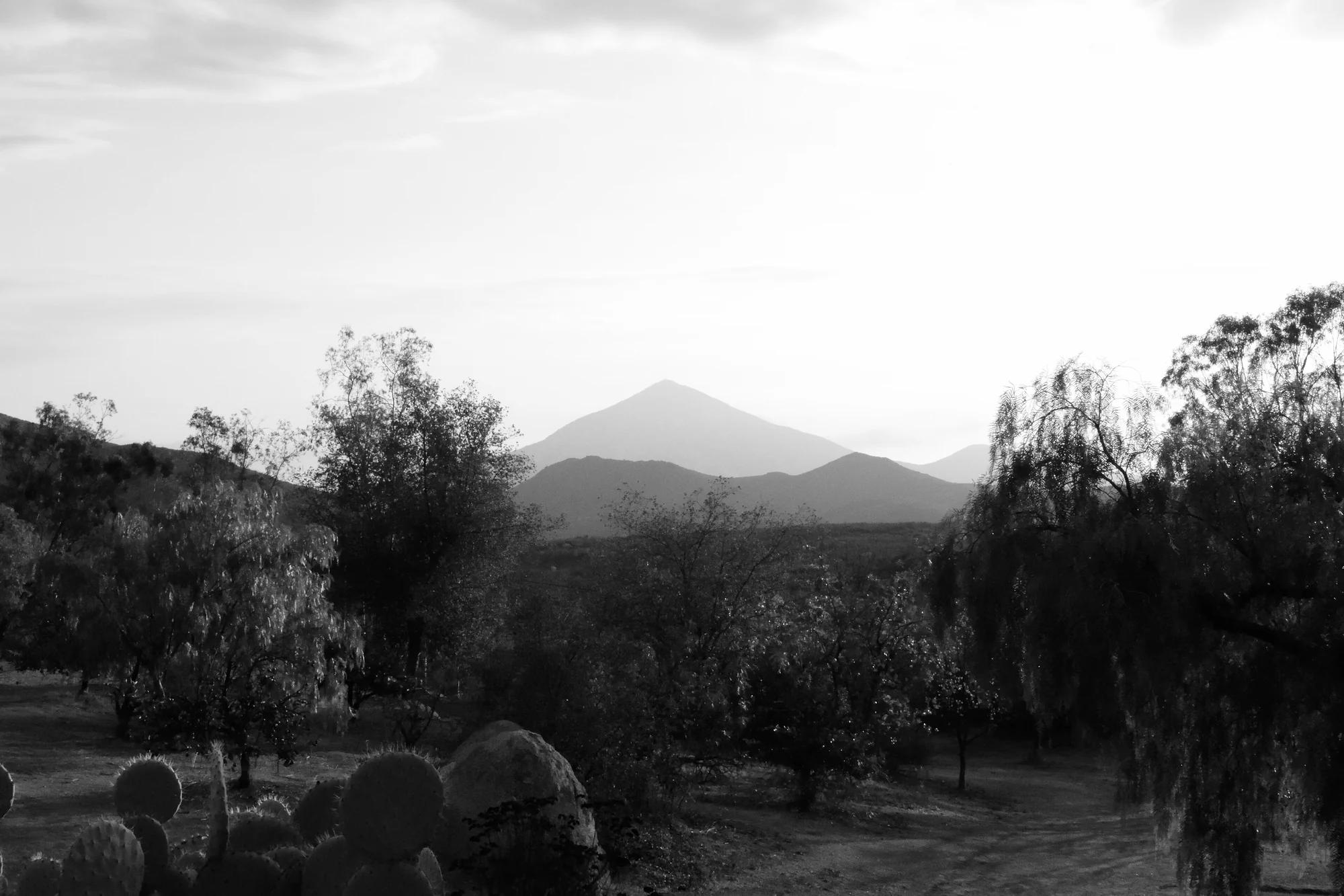
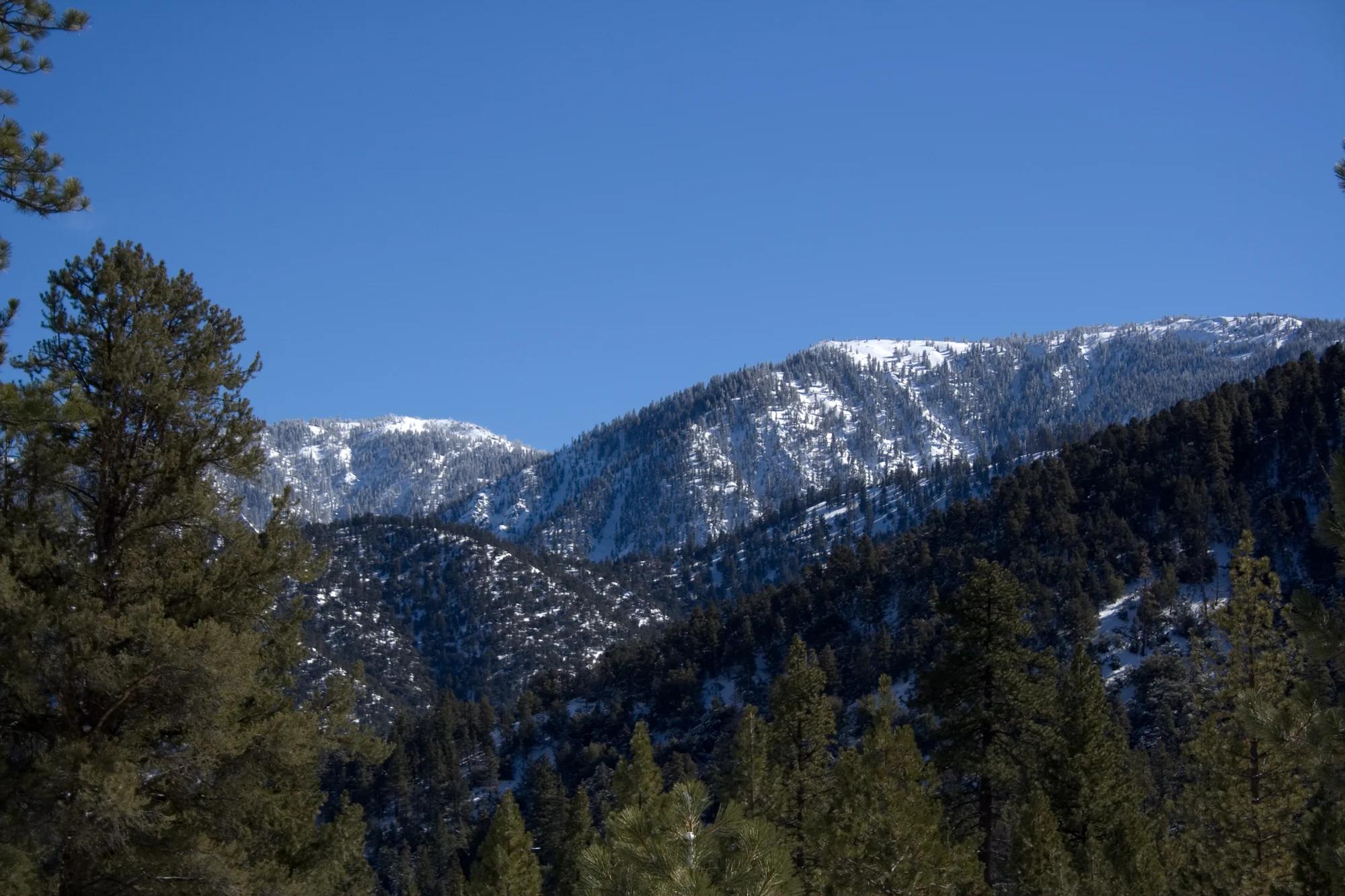
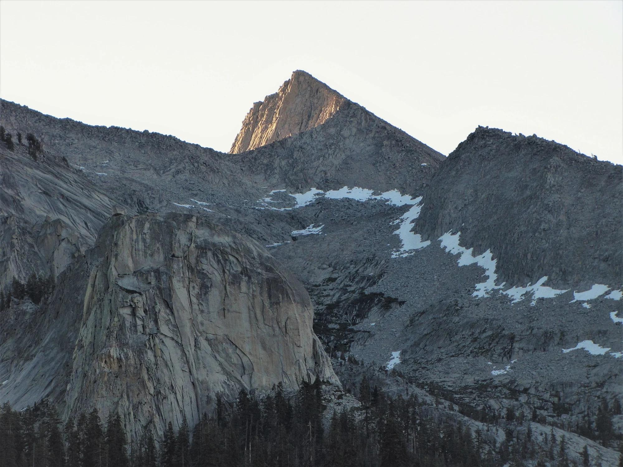
Santiago Peak
Verified California peak at 5,689 ft in Cleveland National Forest (Central Valley & Foothills).
- Route
- 2.9 mi
- Climb
- 361 ft
Browse & Discover
Overlooks, natural arches, sea caves, groves and wildlife reserves.
919 of 2,051 places
Drag to pan. Double-click, pinch or scroll to zoom. Keyboard: arrow keys and +/−. Cards below remain available.
Loading map… Browse the spot cards below at any time.

Joshua Tree National Park
A granite arch in the White Tank monzogranite, reached by a short sandy trail from the Twin Tanks parking area.
John D. from Pasadena, USA · CC BY 2.0. Source & image licence

Joshua Tree National Park
A short desert trail to the historic Barker Dam water-storage structure in Joshua Tree National Park.
Hannah Schwalbe / NPS · Public domain. Source & image licence

Russian Ridge Open Space Preserve
The highest named summit in San Mateo County, an open grassland top on Russian Ridge with views from the ocean to the Bay.
Justin Dolske from Cupertino, USA · CC BY-SA 2.0. Source & image licence

Eaton Canyon Natural Area
The waterfall at the head of lower Eaton Canyon, reached by a wide wash walk from the Eaton Canyon Nature Center and a final creekside scramble.
[scott.medling or en:user:scott.medling user:scott.medling from California, United States] · CC BY-SA 2.0. Source & image licence

Escondido Canyon Park
A multi-tiered waterfall in Escondido Canyon above Malibu. The maintained trail ends at the base of the mossy lower tier.
Santa Monica Mountains National Recreation Area · Public domain. Source & image licence

Mount Tamalpais Watershed
A winter-and-spring cascade on Cataract Creek just below the Laurel Dell picnic area, reached downhill along the Cataract Trail from Rock Spring.
Richard Wood · CC BY-SA 3.0. Source & image licence

Joshua Tree National Park
One of the best-preserved stamp mills in Joshua Tree National Park, at the site of the Lost Horse gold mine.
Joseph from Cabin On The Road, USA · CC BY-SA 2.0. Source & image licence

Angeles National Forest
A waterfall of about fifty feet filling the head of a narrow, shaded canyon, a short walk upstream from Millard Campground.
Region 5 Photography · Public domain. Source & image licence

Mount Tamalpais State Park
The summit of Mount Tamalpais, a short plank-and-rock climb from the East Peak visitor area to the fire lookout above the whole Bay Area.
Chris Koerner from St. Louis, USA · CC BY-SA 2.0. Source & image licence

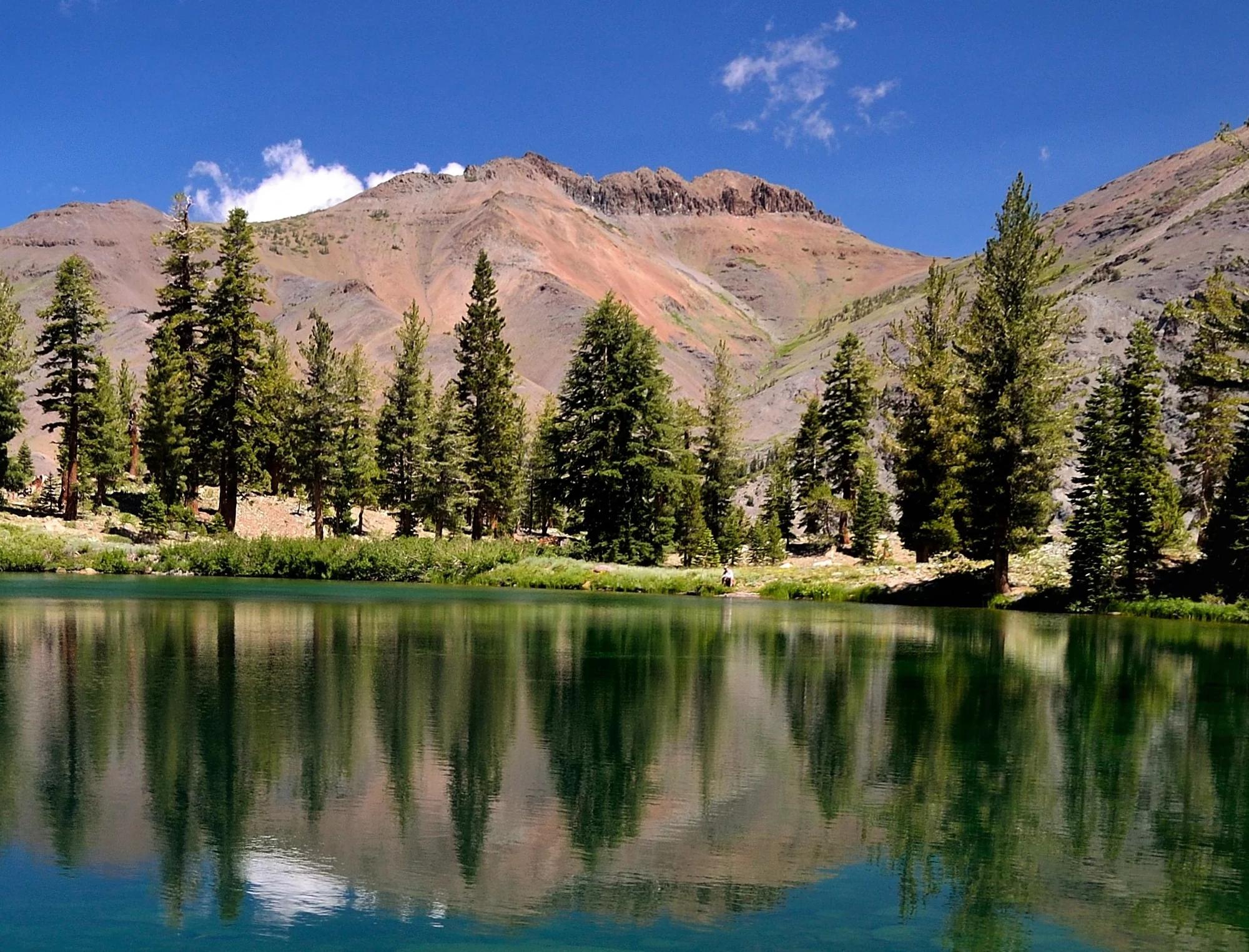
Inyo National Forest
A quiet lake in the Ansel Adams Wilderness beneath Parker Peak, reached through sage and an aspen-lined creek canyon off the June Lake Loop.
Mark Gunn from Novato, California, USA · CC BY 2.0. Source & image licence

Pfeiffer Big Sur State Park
A 60-foot waterfall on Pfeiffer-Redwood Creek, reached through the redwoods of Pfeiffer Big Sur State Park on a trail twice rebuilt — after the 2008 Basin Complex Fire and again after 2023 storm damage.
Joe Mabel · CC BY-SA 4.0. Source & image licence

Santa Monica Mountains National Recreation Area
The highest point in the Santa Monica Mountains, climbed from the Mishe Mokwa trailhead along the Backbone Trail at Circle X Ranch.
Wasquewhat · CC BY-SA 4.0. Source & image licence

Angeles National Forest
A 50-foot single drop into a shallow plunge pool, 1.7 mi up Big Santa Anita Canyon. Shaded the entire way in. The work is all on the walk out.
U.S. Department of Agriculture / USDA USFS · CC BY 2.0. Source & image licence

Santa Monica Mountains National Recreation Area
The ruins of the Roberts family ranch house at the end of the canyon-floor trail in Solstice Canyon, beside a small seasonal waterfall.
George Heras / Santa Monica Mountains National Recreation Area · Public domain. Source & image licence

Pfeiffer Big Sur State Park
An overlook above the Big Sur River valley, looking north over the redwoods toward Point Sur and the Pacific.
King of Hearts · CC BY-SA 3.0. Source & image licence
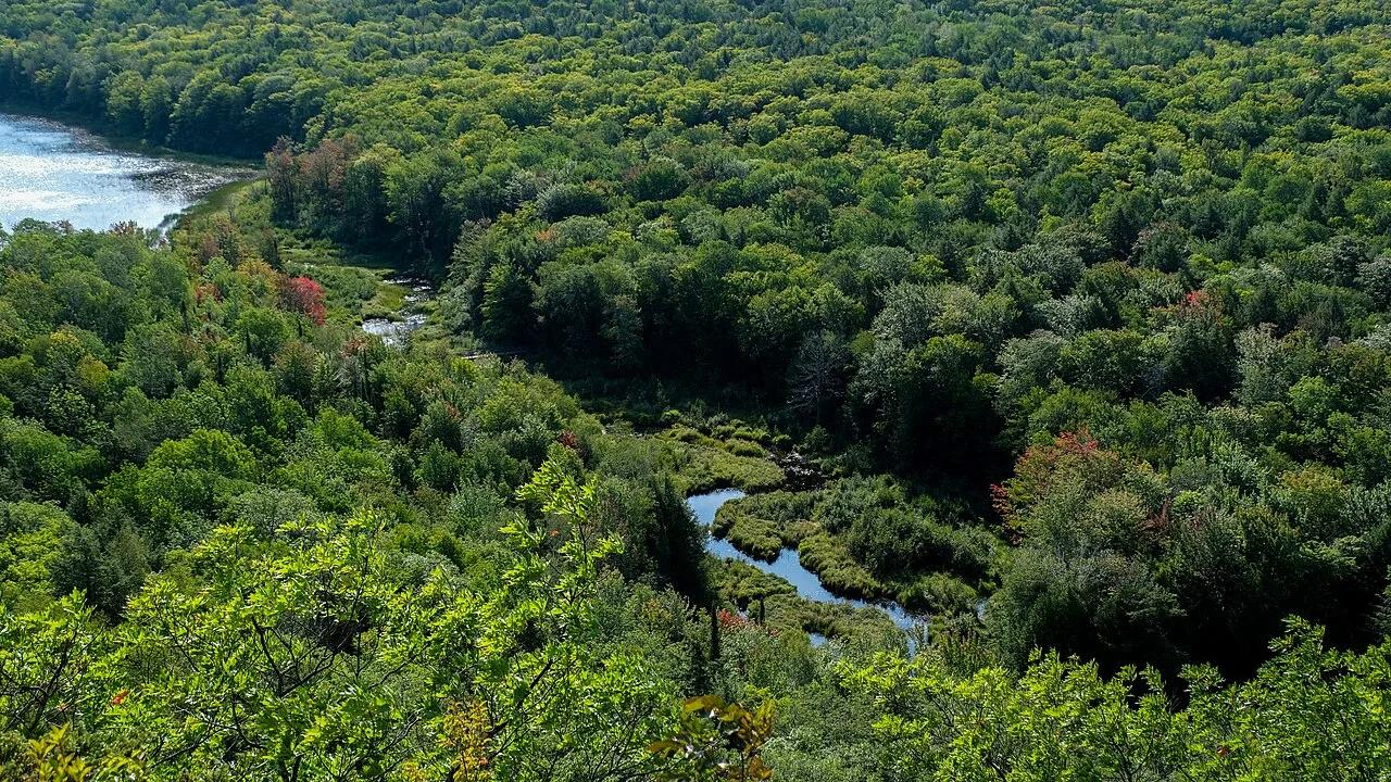
Porcupine Mountains Wilderness State Park · Midwest & Great Lakes · Michigan
Old-growth northern hardwood wilderness valley and Carp River lakes viewed from a sheer basalt ridge in Michigan's Upper Peninsula.
Photo: Sharon Mollerus · CC BY 2.0
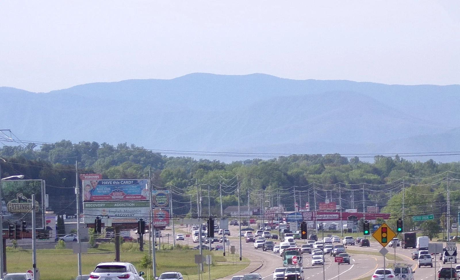
Great Smoky Mountains National Park · Blue Ridge & Great Smoky Mountains · Tennessee
The highest point in Tennessee (6,643 ft), crowned with a futuristic spiral concrete observation tower above misty spruce-fir forests.
Photo: Username11236 · CC BY-SA 4.0
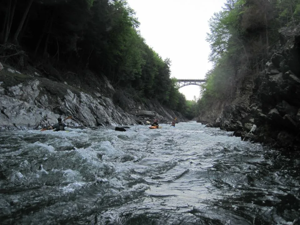
Quechee State Park · Northeast & New England · Vermont
165-foot glacial bedrock gorge carved by the Ottauquechee River, with trails descending from the historic steel arch bridge to the riverbanks.
Photo: EdwardEMeyer · CC BY-SA 3.0
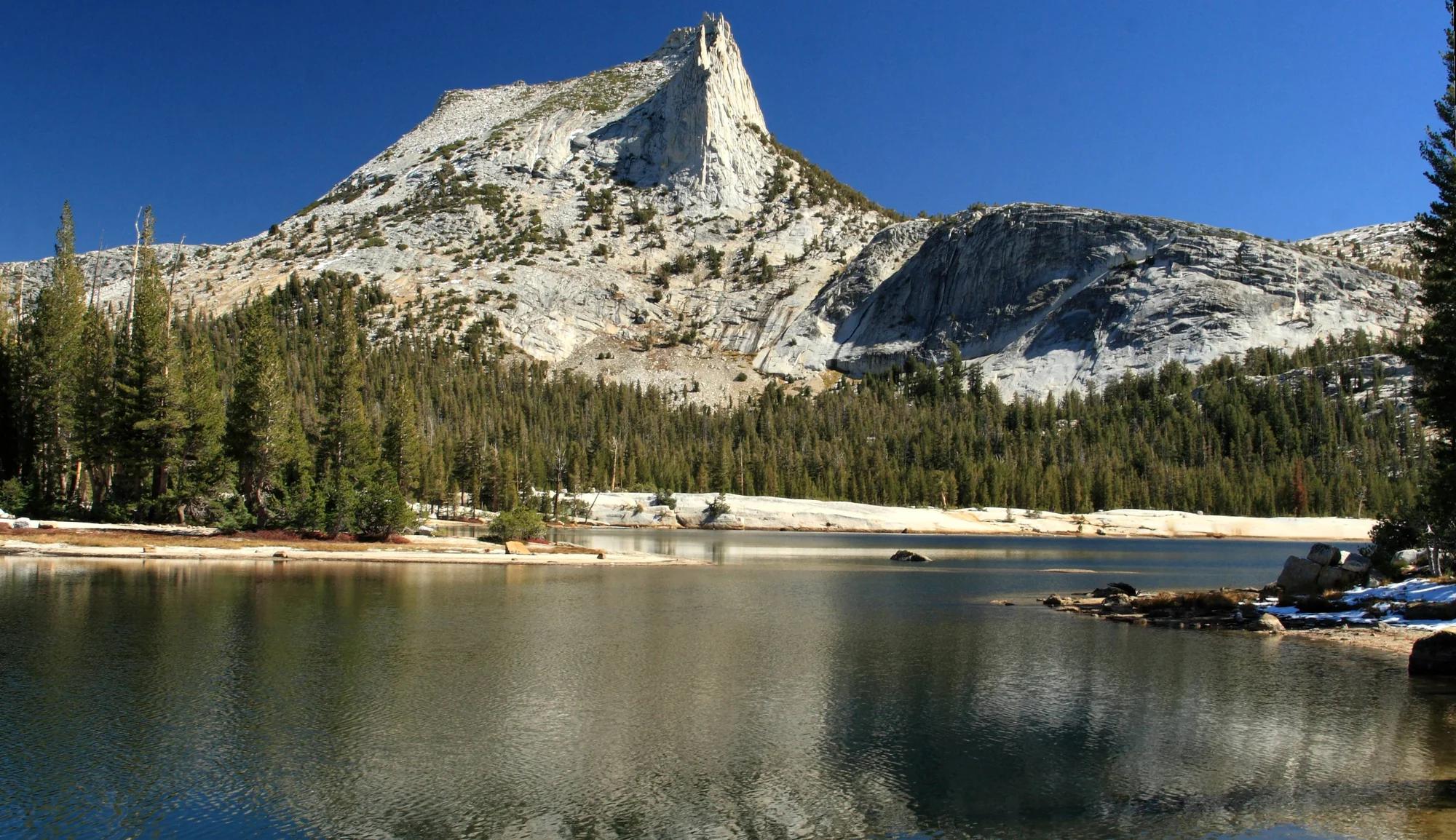
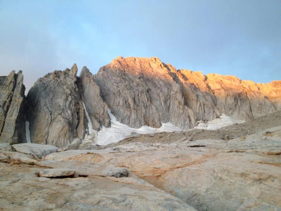
Yosemite National Park · Yosemite & Central Sierra
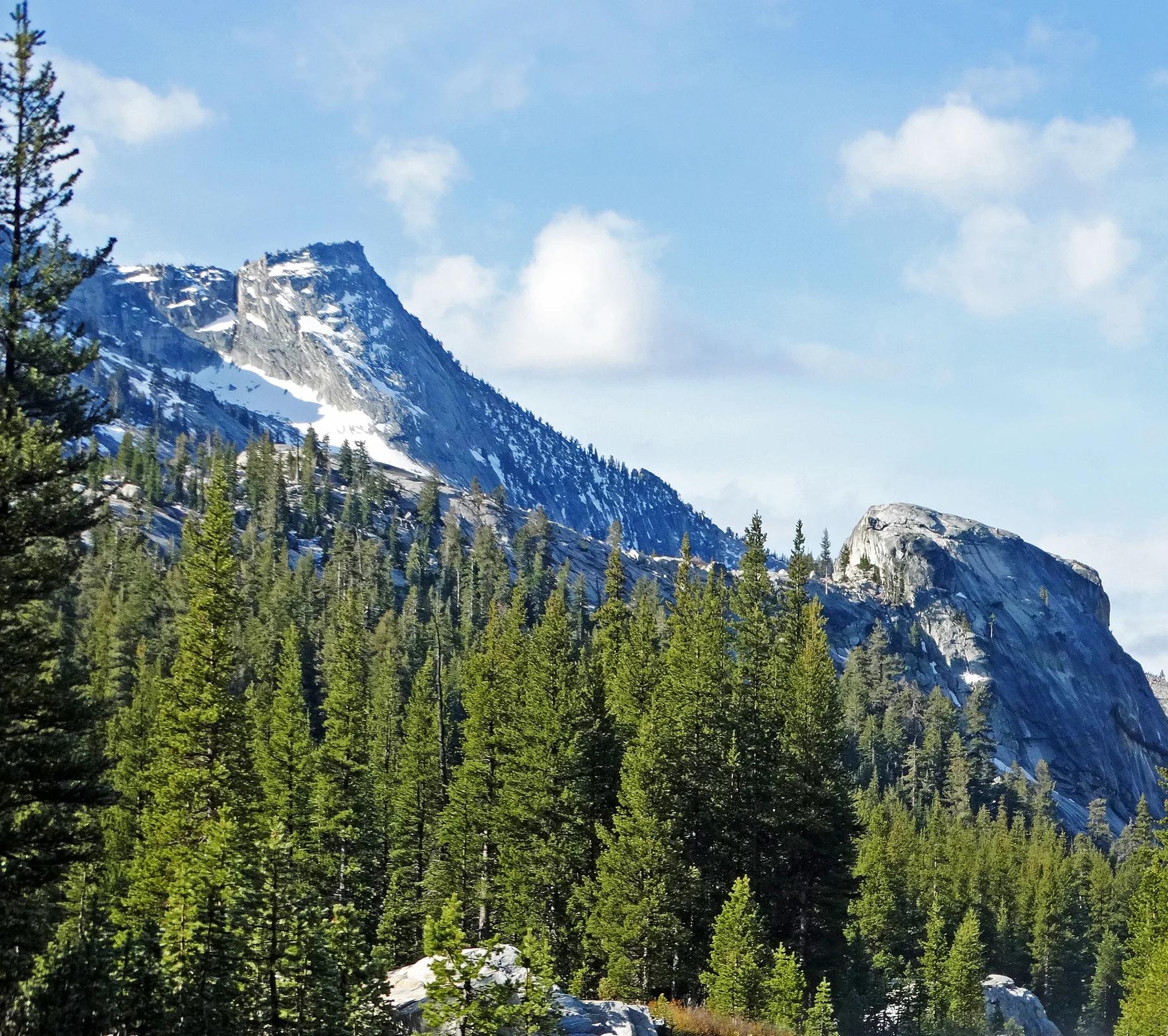
Verified California peak at 10,853 ft in Yosemite National Park (Yosemite & Central Sierra).
Photo: Frank Kovalchek from Anchorage, Alaska, USA · CC BY 2.0
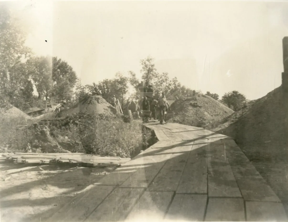
Rock City Park National Natural Landmark (Minneapolis, KS) · Great Plains & Heartland · Kansas
200 spherical Dakota Sandstone concretions up to 27 feet in diameter scattered across native Smoky Hills prairie.
Photo: Department of the Interior. Bureau of Indian Affairs. Standing Rock Agency. 9... · Public domain
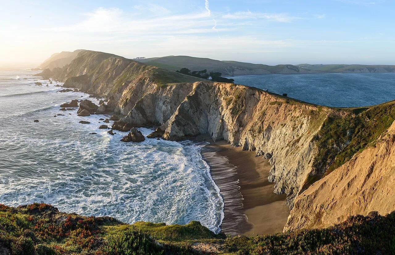
Chimney Rock National Historic Site · Great Plains & Heartland · Nebraska
325-foot Brule clay and volcanic ash spire rising above the North Platte Valley—the most famous landmark on the Oregon, California, and Mormon Trails.
Photo: King of Hearts · CC BY-SA 4.0
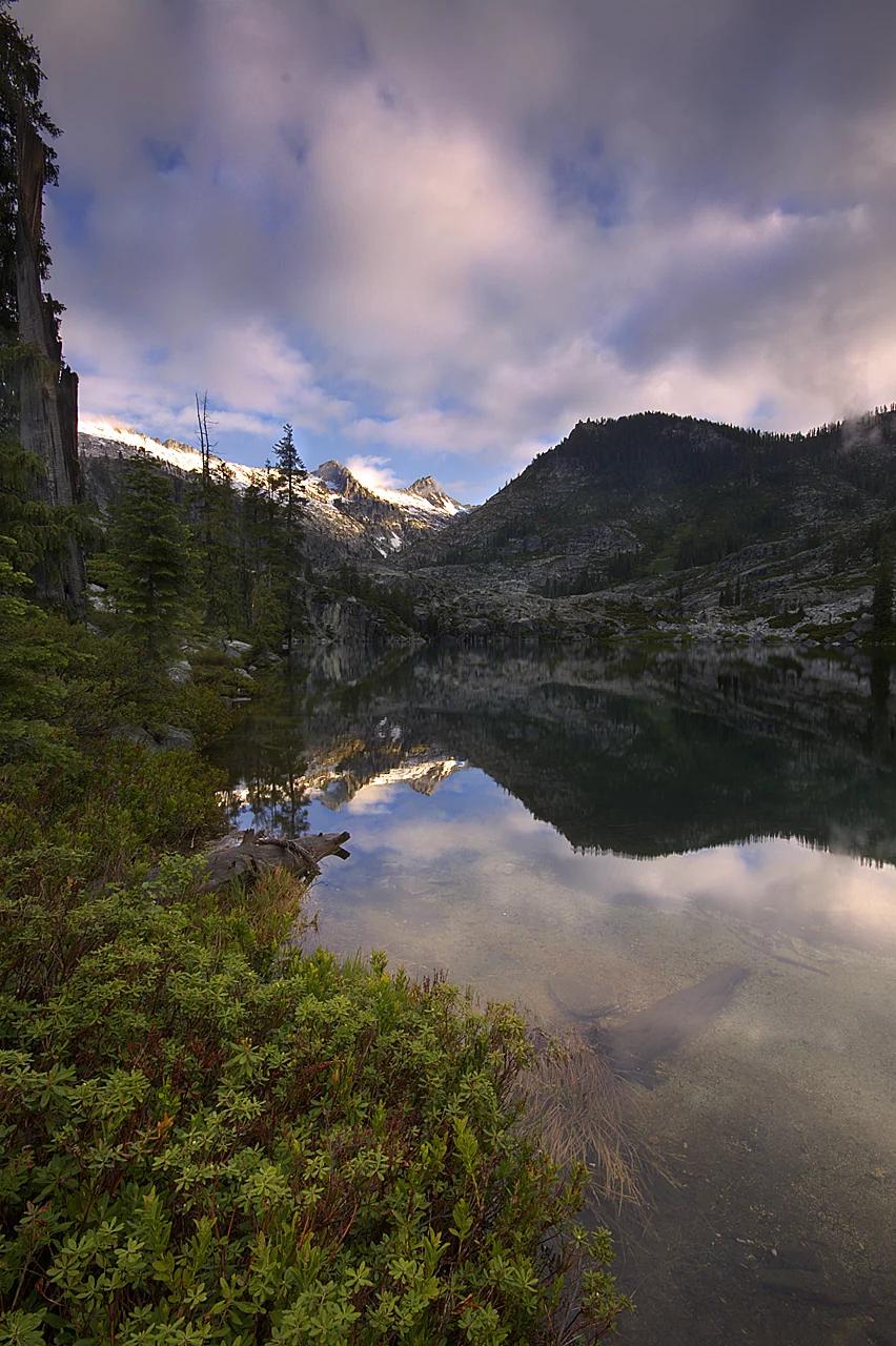
Shasta-Trinity National Forest · Shasta & Trinity
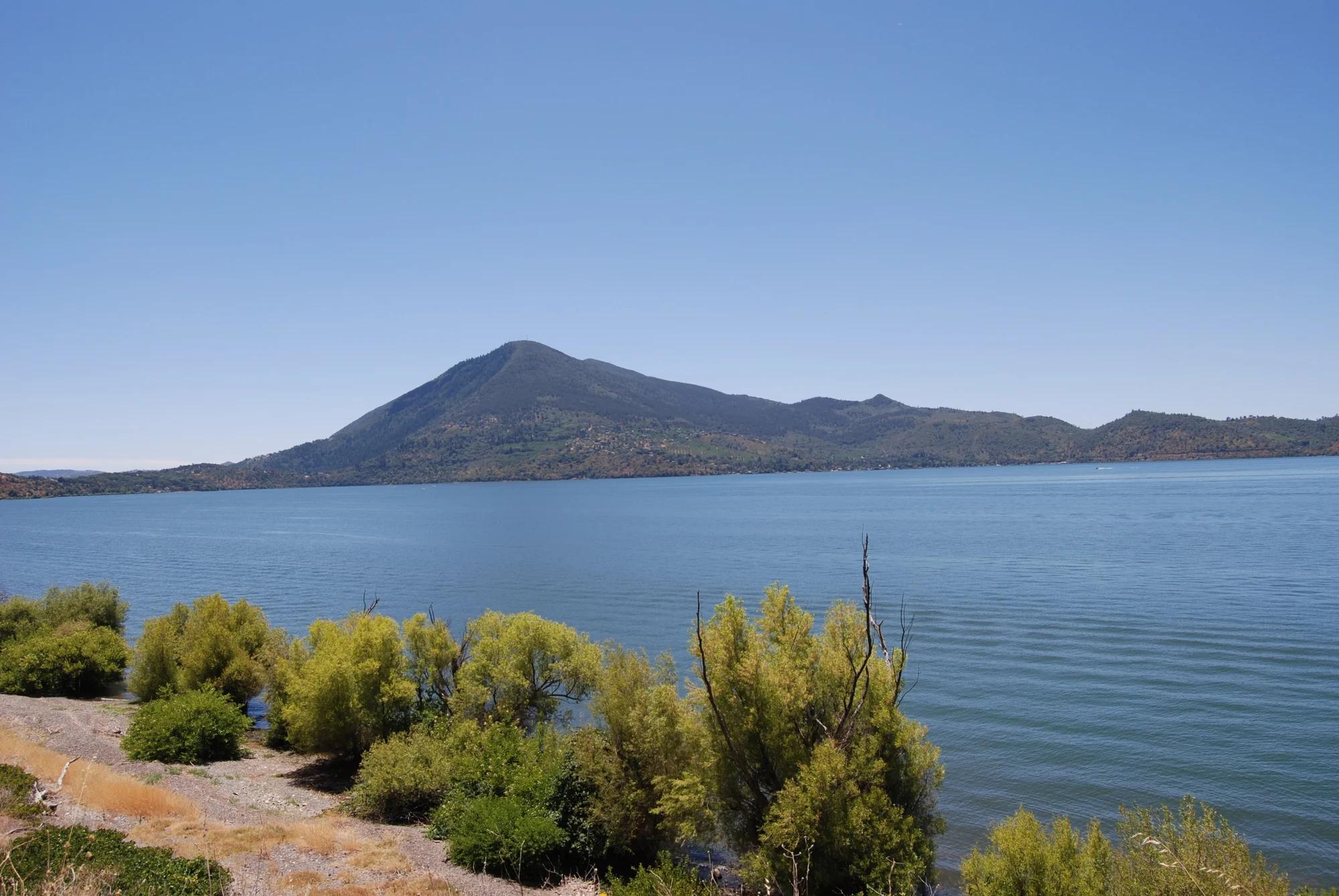
Verified California peak at 8,944 ft in Shasta-Trinity National Forest (Shasta & Trinity).
Photo: Jeffrey Pang from Jersey City, NJ, USA · CC BY 2.0
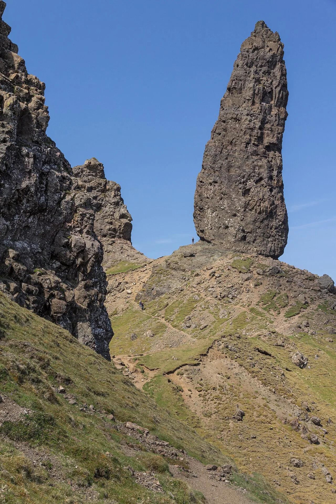
Isle of Skye · UK & Ireland · United Kingdom
55-meter jagged basalt pinnacle standing sentinel on the ancient landslip amphitheater of the Trotternish Peninsula above the Sound of Raasay.
Photo: JoachimKohlerBremen · CC BY-SA 4.0
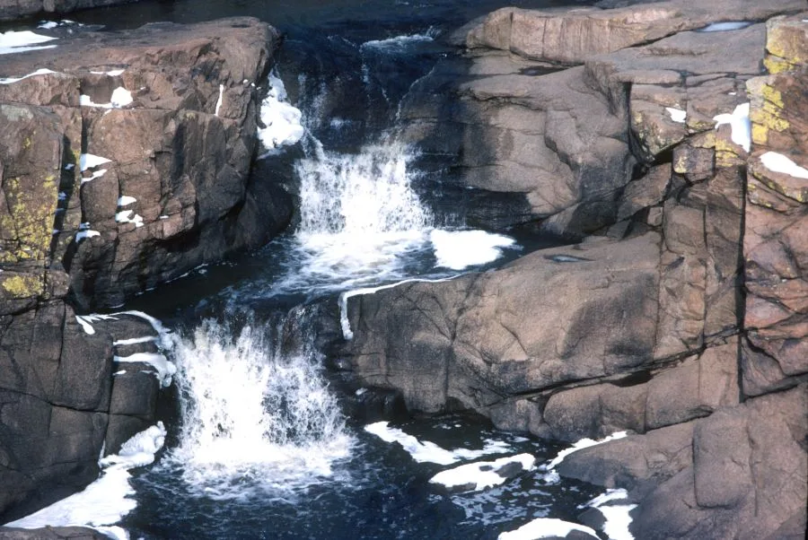
Wichita Mountains Wildlife Refuge (Cache) · Wichita Mountains · Oklahoma
Granite canyon where West Cache Creek carves through rugged pink cliffs to form a series of tumbling waterfalls and a legendary deep swimming gorge.
Photo: Unknown authorUnknown author or not provided · Public domain
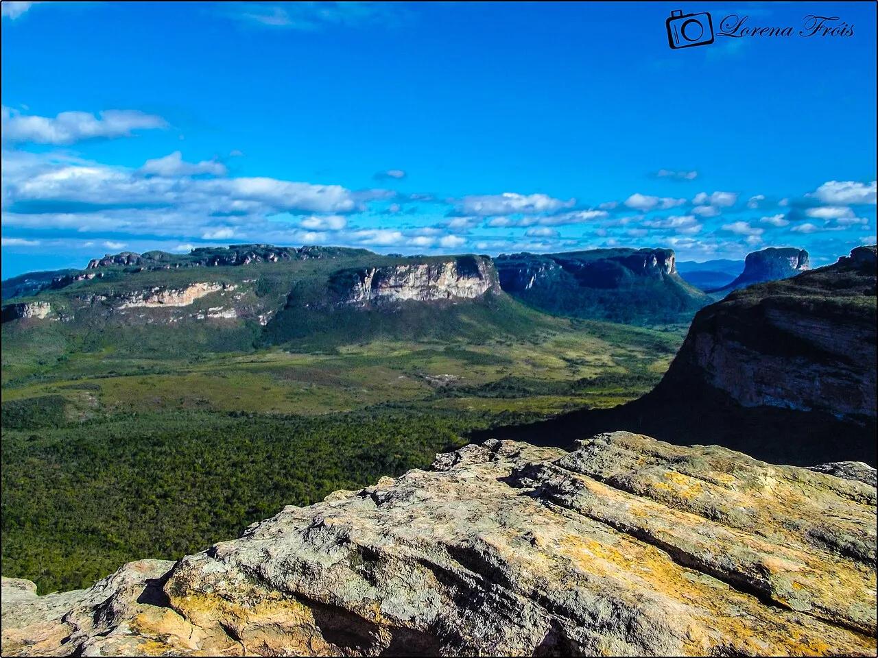
Parque Nacional da Chapada Diamantina · South America · Brazil
Flat-topped Precambrian sandstone tabletop mesas rising above tropical cloud forests and red-tea waterfalls in Bahia.
Photo: Lorena Fróis · CC BY-SA 3.0