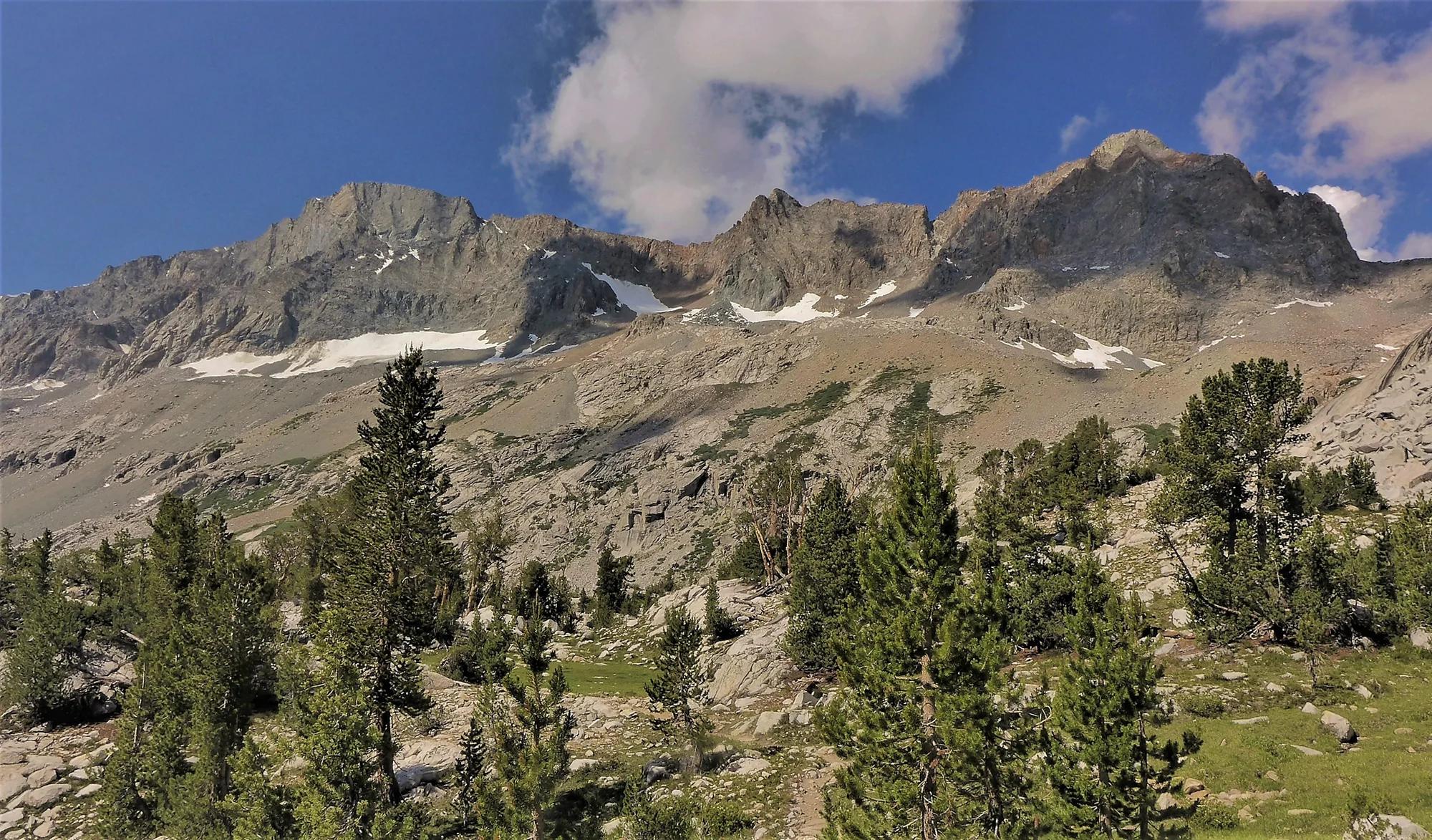
Peak
Sequoia and Kings Canyon National Parks · Yosemite & Central Sierra
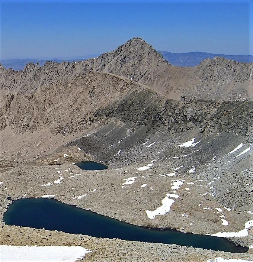
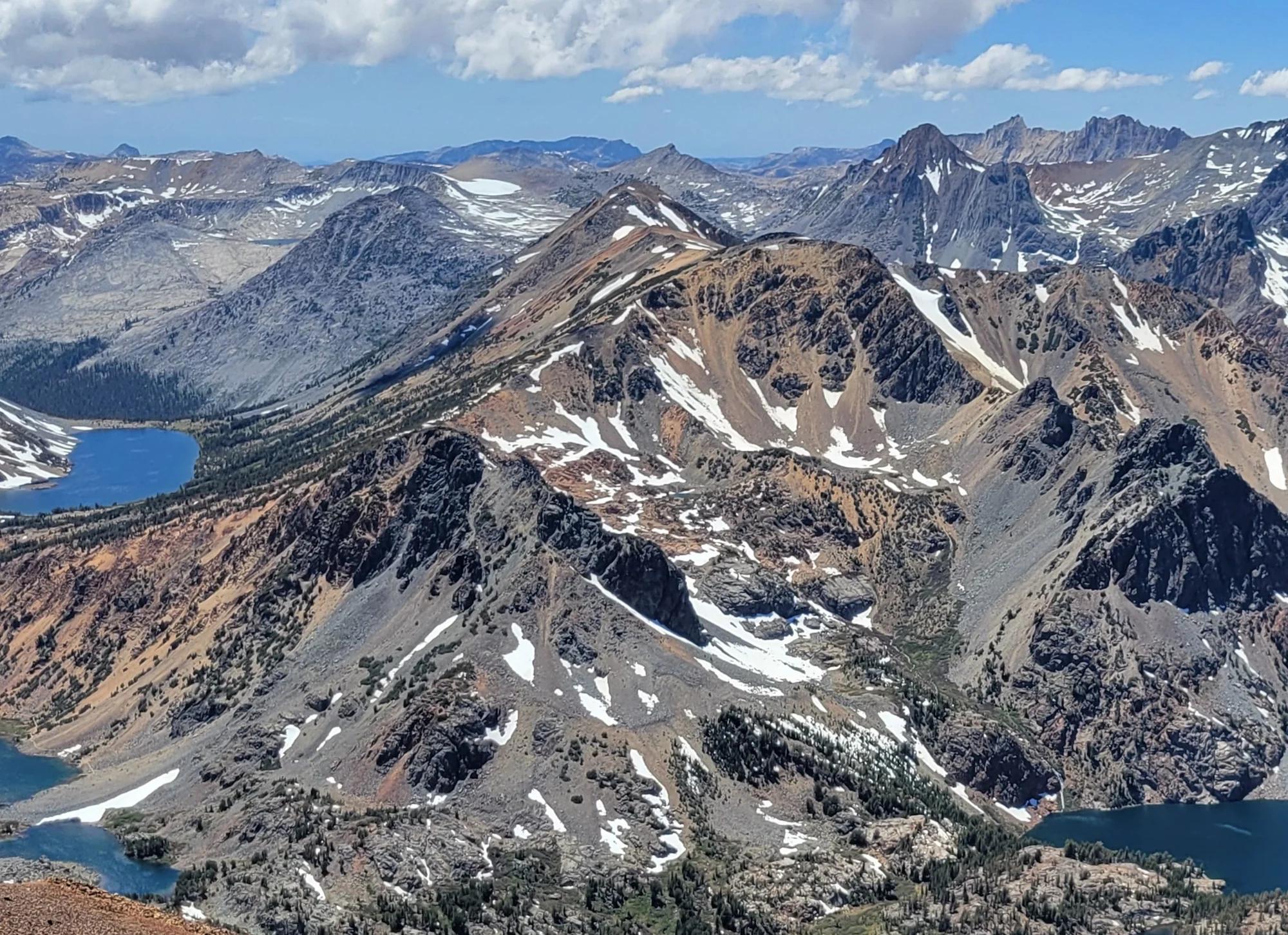
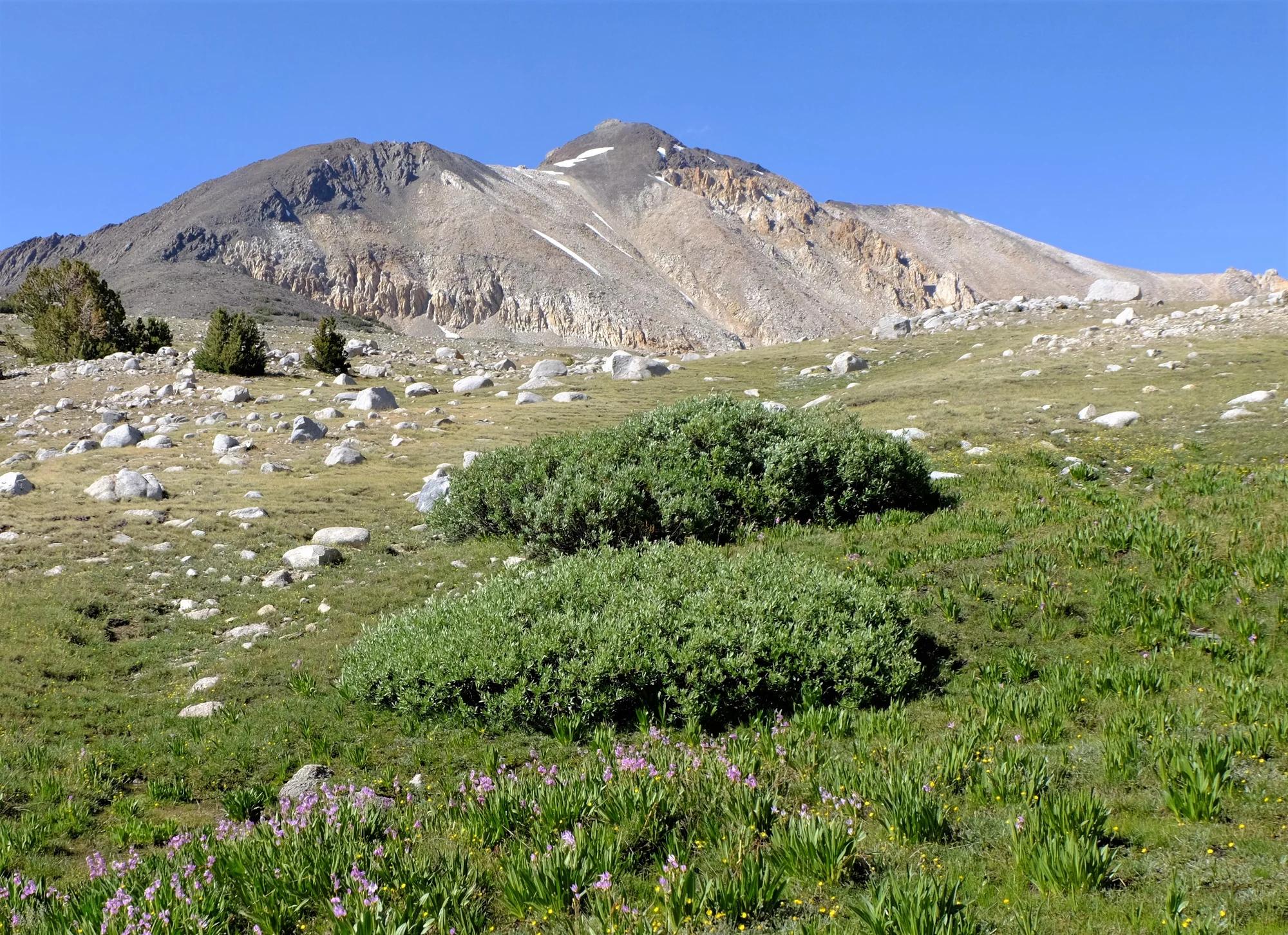
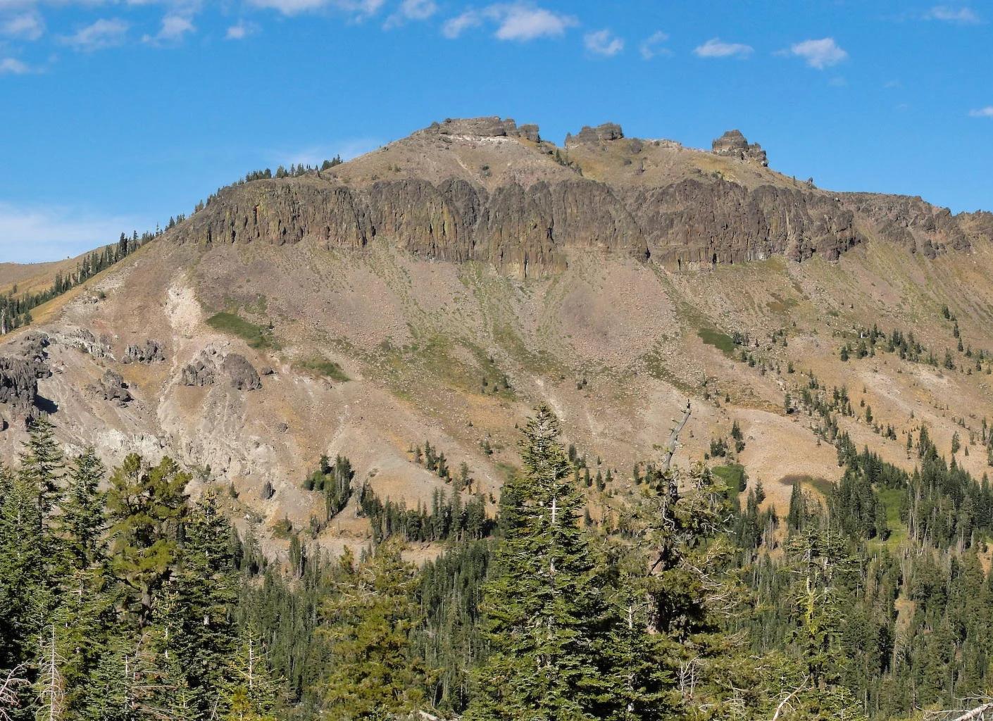
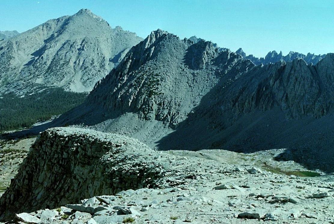
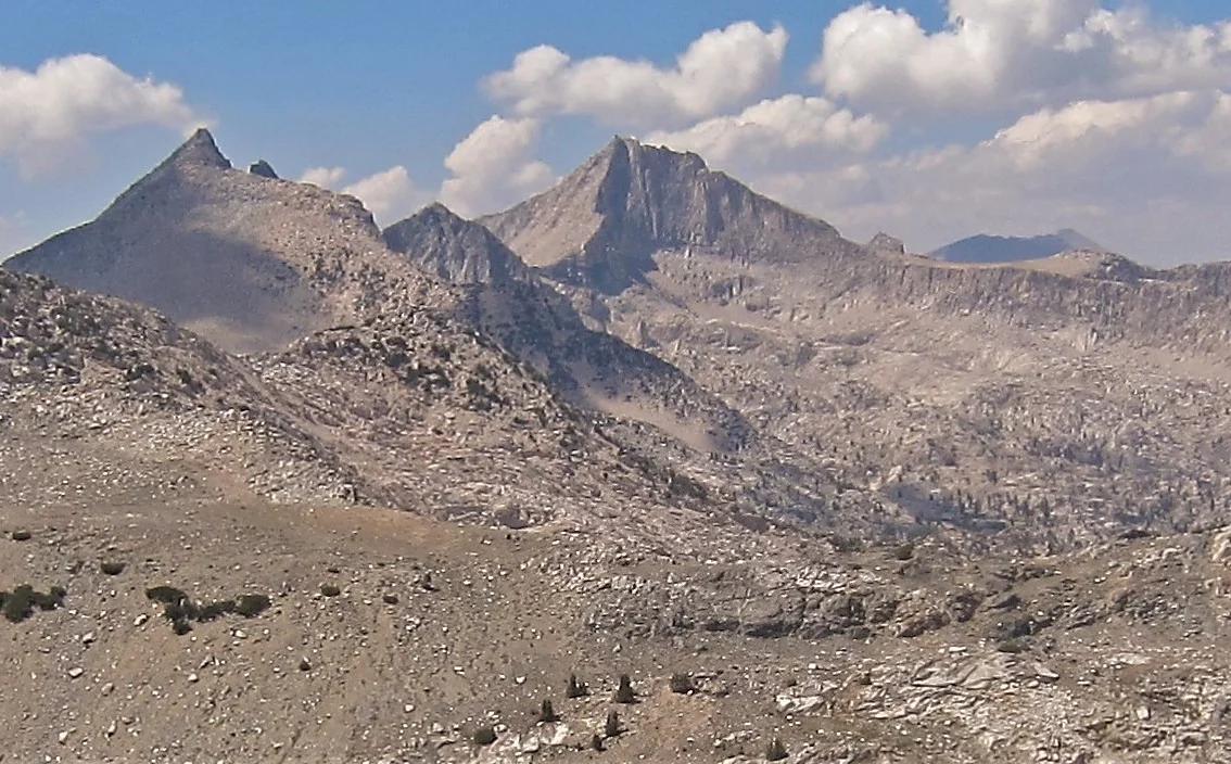
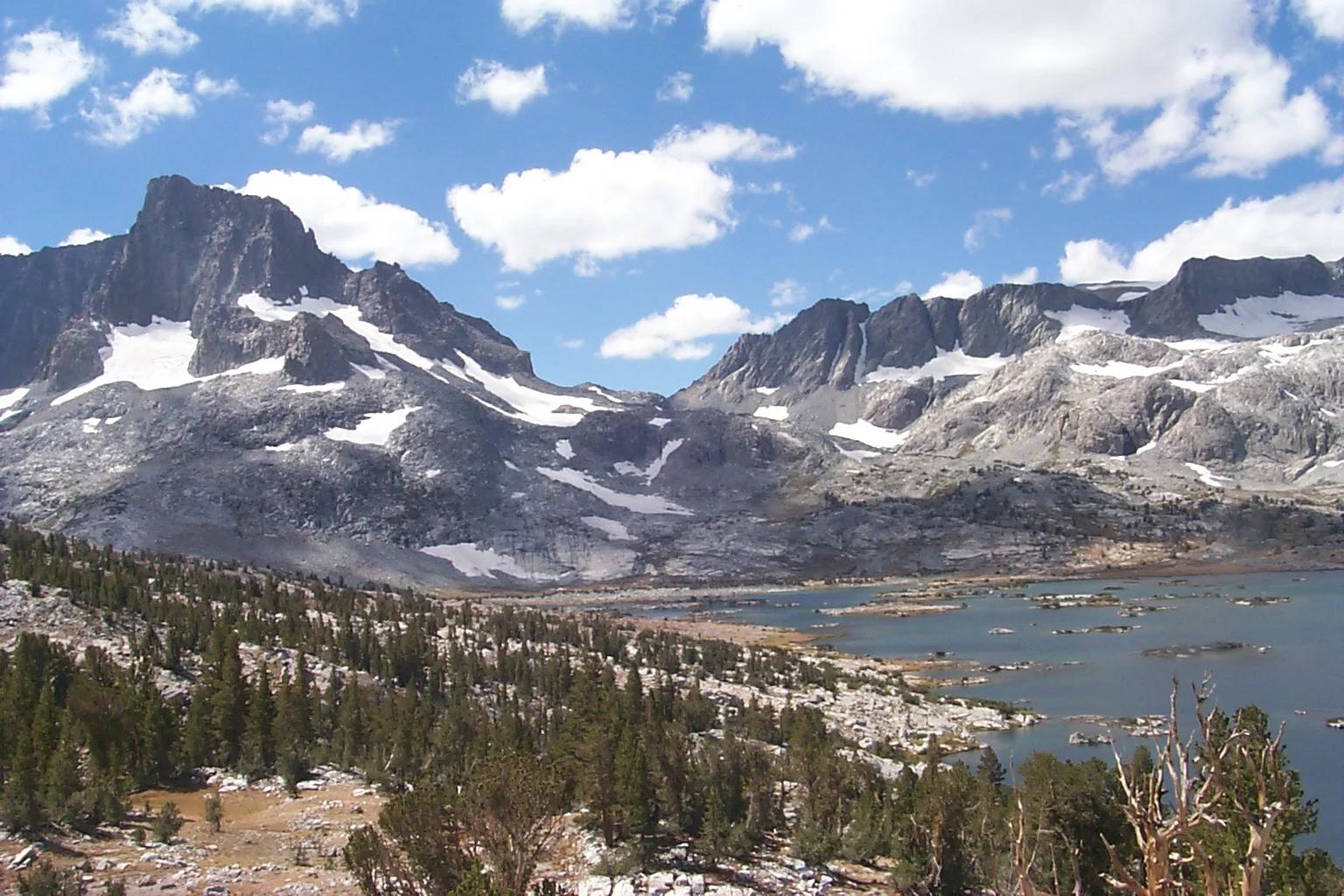
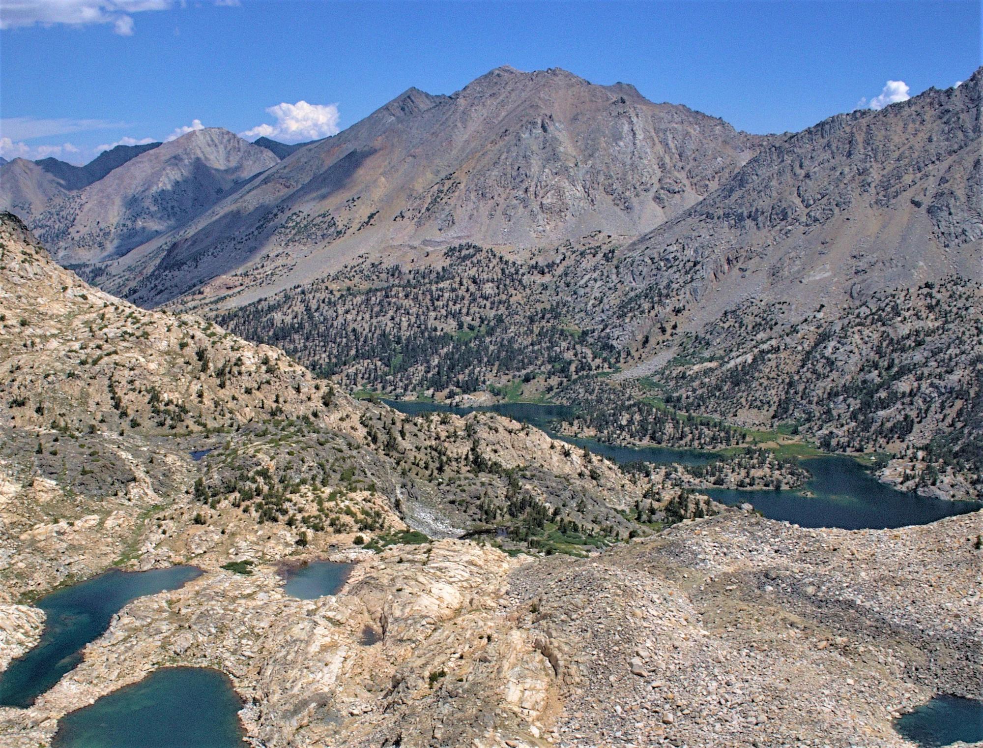
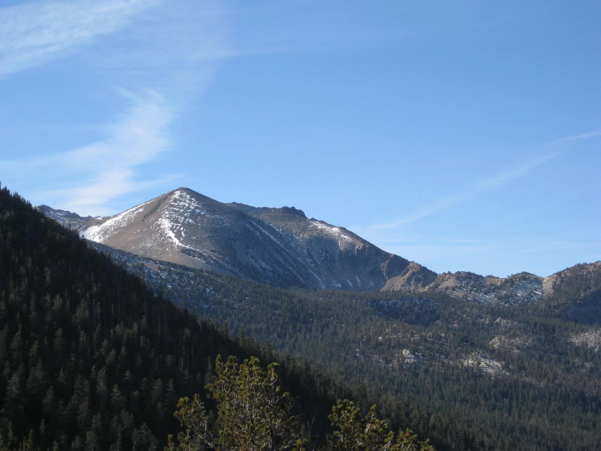
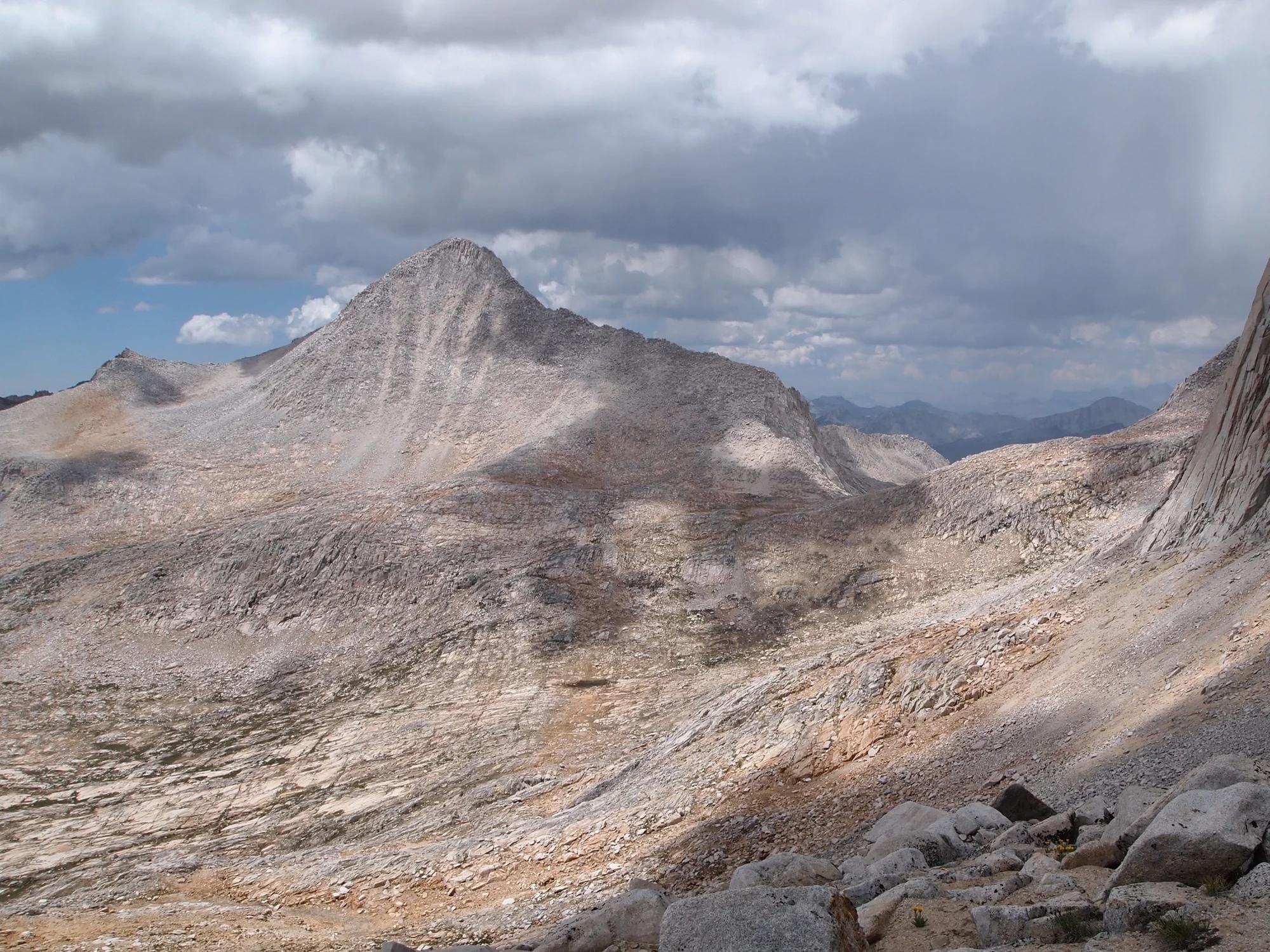
Black Giant
Verified California peak at 13,330 ft in Sequoia and Kings Canyon National Parks (Yosemite & Central Sierra).
- Route
- 2.9 mi
- Climb
- 361 ft
Browse & Discover
Overlooks, natural arches, sea caves, groves and wildlife reserves.
919 of 2,051 places
Drag to pan. Double-click, pinch or scroll to zoom. Keyboard: arrow keys and +/−. Cards below remain available.
Loading map… Browse the spot cards below at any time.

Joshua Tree National Park
A granite arch in the White Tank monzogranite, reached by a short sandy trail from the Twin Tanks parking area.
John D. from Pasadena, USA · CC BY 2.0. Source & image licence

Joshua Tree National Park
A short desert trail to the historic Barker Dam water-storage structure in Joshua Tree National Park.
Hannah Schwalbe / NPS · Public domain. Source & image licence

Russian Ridge Open Space Preserve
The highest named summit in San Mateo County, an open grassland top on Russian Ridge with views from the ocean to the Bay.
Justin Dolske from Cupertino, USA · CC BY-SA 2.0. Source & image licence

Eaton Canyon Natural Area
The waterfall at the head of lower Eaton Canyon, reached by a wide wash walk from the Eaton Canyon Nature Center and a final creekside scramble.
[scott.medling or en:user:scott.medling user:scott.medling from California, United States] · CC BY-SA 2.0. Source & image licence

Escondido Canyon Park
A multi-tiered waterfall in Escondido Canyon above Malibu. The maintained trail ends at the base of the mossy lower tier.
Santa Monica Mountains National Recreation Area · Public domain. Source & image licence

Mount Tamalpais Watershed
A winter-and-spring cascade on Cataract Creek just below the Laurel Dell picnic area, reached downhill along the Cataract Trail from Rock Spring.
Richard Wood · CC BY-SA 3.0. Source & image licence

Joshua Tree National Park
One of the best-preserved stamp mills in Joshua Tree National Park, at the site of the Lost Horse gold mine.
Joseph from Cabin On The Road, USA · CC BY-SA 2.0. Source & image licence

Angeles National Forest
A waterfall of about fifty feet filling the head of a narrow, shaded canyon, a short walk upstream from Millard Campground.
Region 5 Photography · Public domain. Source & image licence

Mount Tamalpais State Park
The summit of Mount Tamalpais, a short plank-and-rock climb from the East Peak visitor area to the fire lookout above the whole Bay Area.
Chris Koerner from St. Louis, USA · CC BY-SA 2.0. Source & image licence

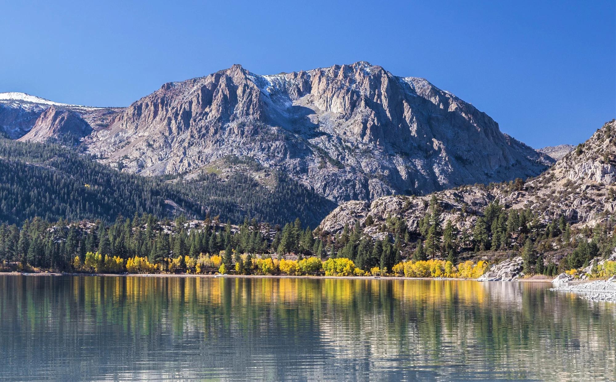
Inyo National Forest
A quiet lake in the Ansel Adams Wilderness beneath Parker Peak, reached through sage and an aspen-lined creek canyon off the June Lake Loop.
Mark Gunn from Novato, California, USA · CC BY 2.0. Source & image licence

Pfeiffer Big Sur State Park
A 60-foot waterfall on Pfeiffer-Redwood Creek, reached through the redwoods of Pfeiffer Big Sur State Park on a trail twice rebuilt — after the 2008 Basin Complex Fire and again after 2023 storm damage.
Joe Mabel · CC BY-SA 4.0. Source & image licence

Santa Monica Mountains National Recreation Area
The highest point in the Santa Monica Mountains, climbed from the Mishe Mokwa trailhead along the Backbone Trail at Circle X Ranch.
Wasquewhat · CC BY-SA 4.0. Source & image licence

Angeles National Forest
A 50-foot single drop into a shallow plunge pool, 1.7 mi up Big Santa Anita Canyon. Shaded the entire way in. The work is all on the walk out.
U.S. Department of Agriculture / USDA USFS · CC BY 2.0. Source & image licence

Santa Monica Mountains National Recreation Area
The ruins of the Roberts family ranch house at the end of the canyon-floor trail in Solstice Canyon, beside a small seasonal waterfall.
George Heras / Santa Monica Mountains National Recreation Area · Public domain. Source & image licence

Pfeiffer Big Sur State Park
An overlook above the Big Sur River valley, looking north over the redwoods toward Point Sur and the Pacific.
King of Hearts · CC BY-SA 3.0. Source & image licence
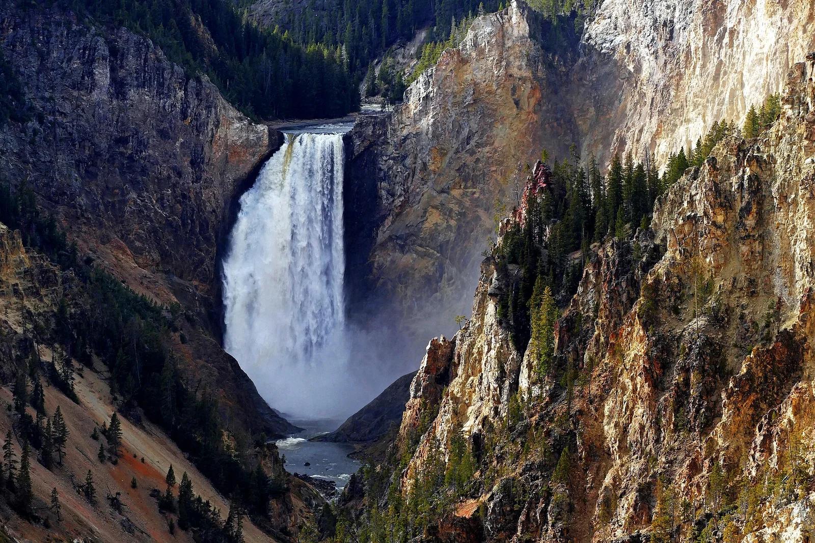
Yellowstone National Park · Yellowstone, Tetons & Northern Rockies · Wyoming
The celebrated overlook framing the thundering 308-foot Lower Falls plunging into the pastel-hued Grand Canyon of the Yellowstone.
Photo: Bernard Spragg. NZ from Christchurch, New Zealand · Public domain
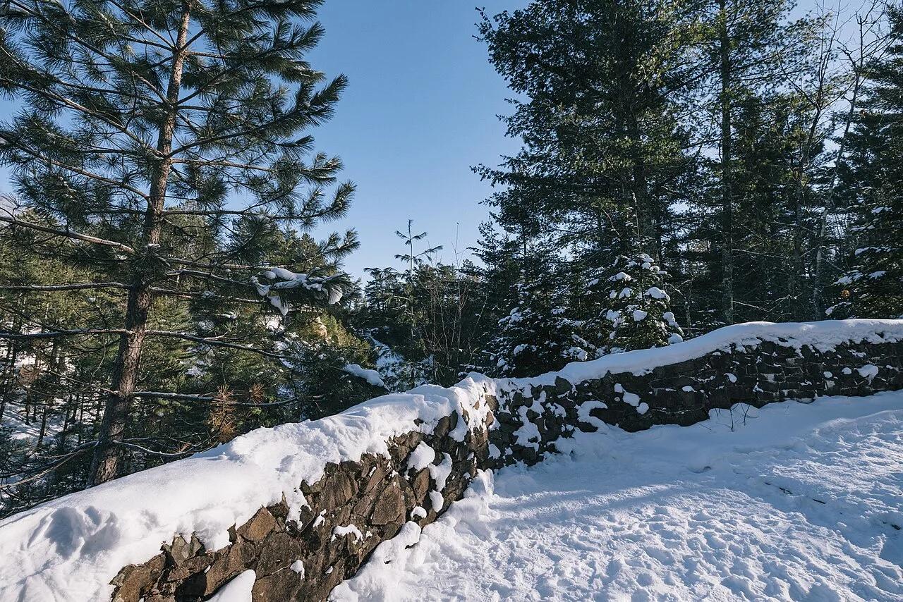
Pattison State Park · Lake Superior South Shore · Wisconsin
The highest waterfall in Wisconsin at 165 feet, plunging over dark basalt lava cliffs into a steep red-sandstone canyon along the Black River.
Photo: Tony Webster from Minneapolis, Minnesota, United States · CC BY-SA 2.0
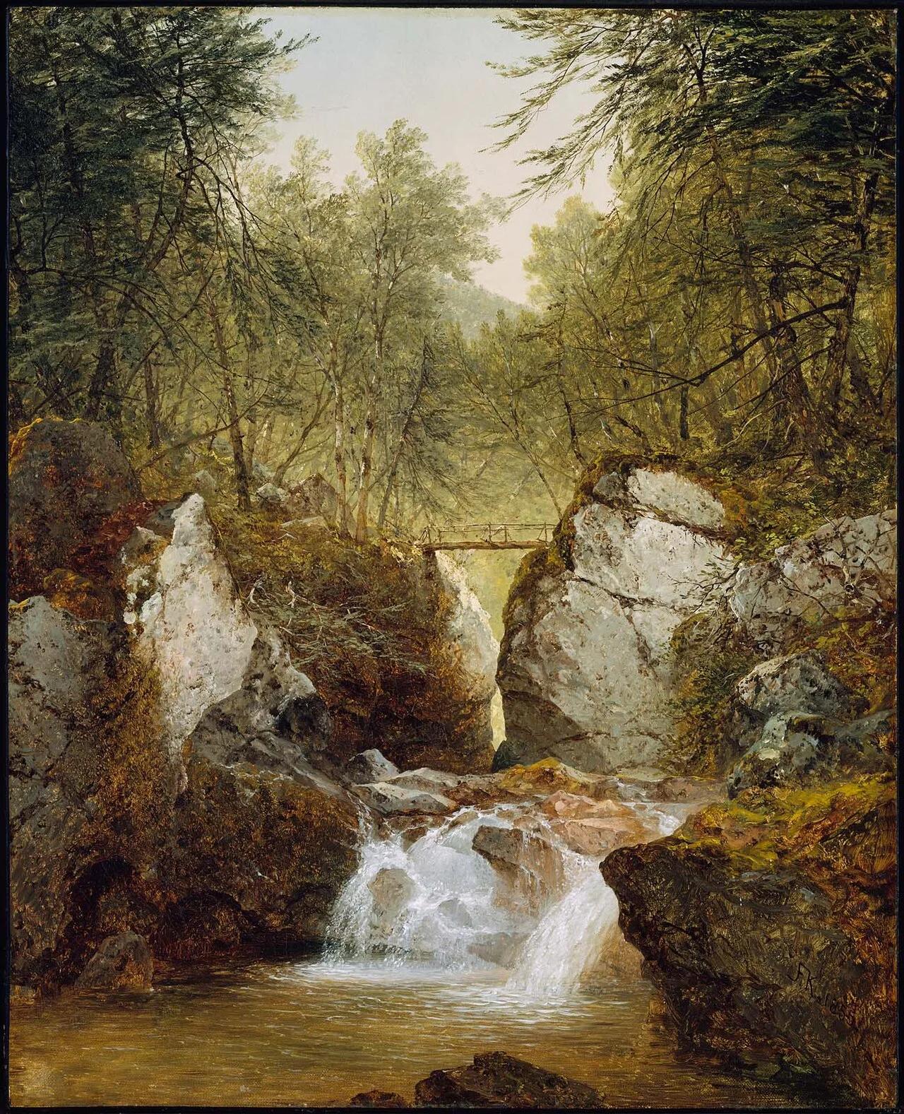
Bash Bish Falls State Park (Taconic Mountains) · Northeast & New England · Massachusetts
80-foot split-boulder twin waterfall crashing into an emerald mountain pool on the Massachusetts/New York border.
Photo: John Frederick Kensett · Public domain
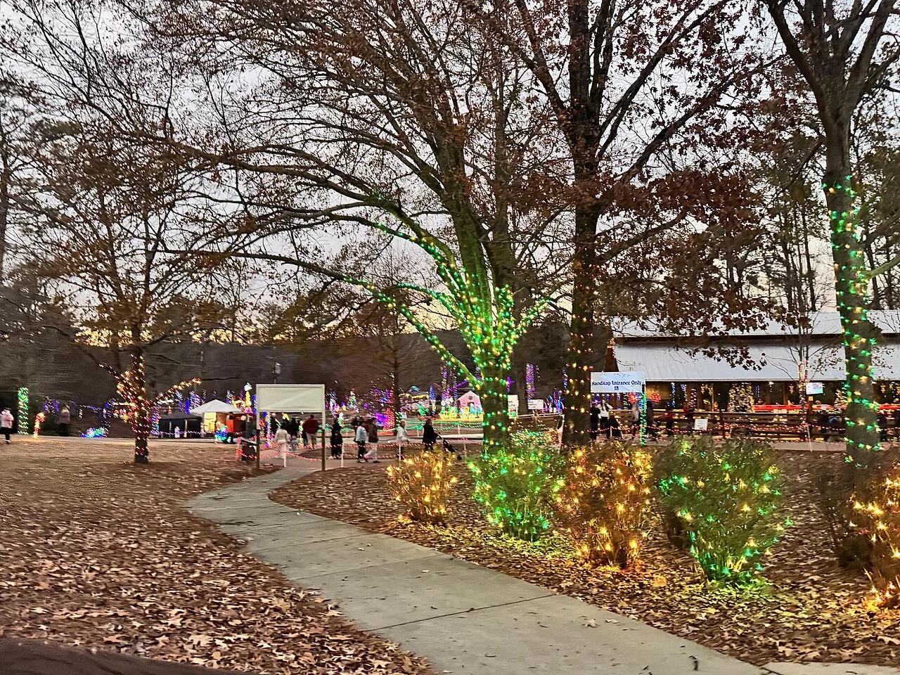
Noccalula Falls Park (Gadsden / Lookout Mountain) · Appalachian & Blue Ridge · Alabama
90-foot waterfall plunging over a curved Lookout Mountain sandstone ledge with a recessed cavern walk directly behind the falling water.
Photo: Harrison Keely · CC BY 4.0
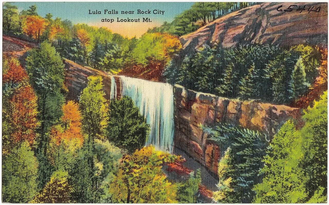
Lula Lake Land Trust (Lookout Mountain) · Appalachian & Blue Ridge · Georgia
Crystal emerald plunge basin and 120-foot Rock Creek waterfall preserved on the eastern rim of Lookout Mountain.
Photo: "Tichnor Quality Views," Reg. U. S. Pat. Off. Made Only by Tichnor Bros., Inc... · Public domain
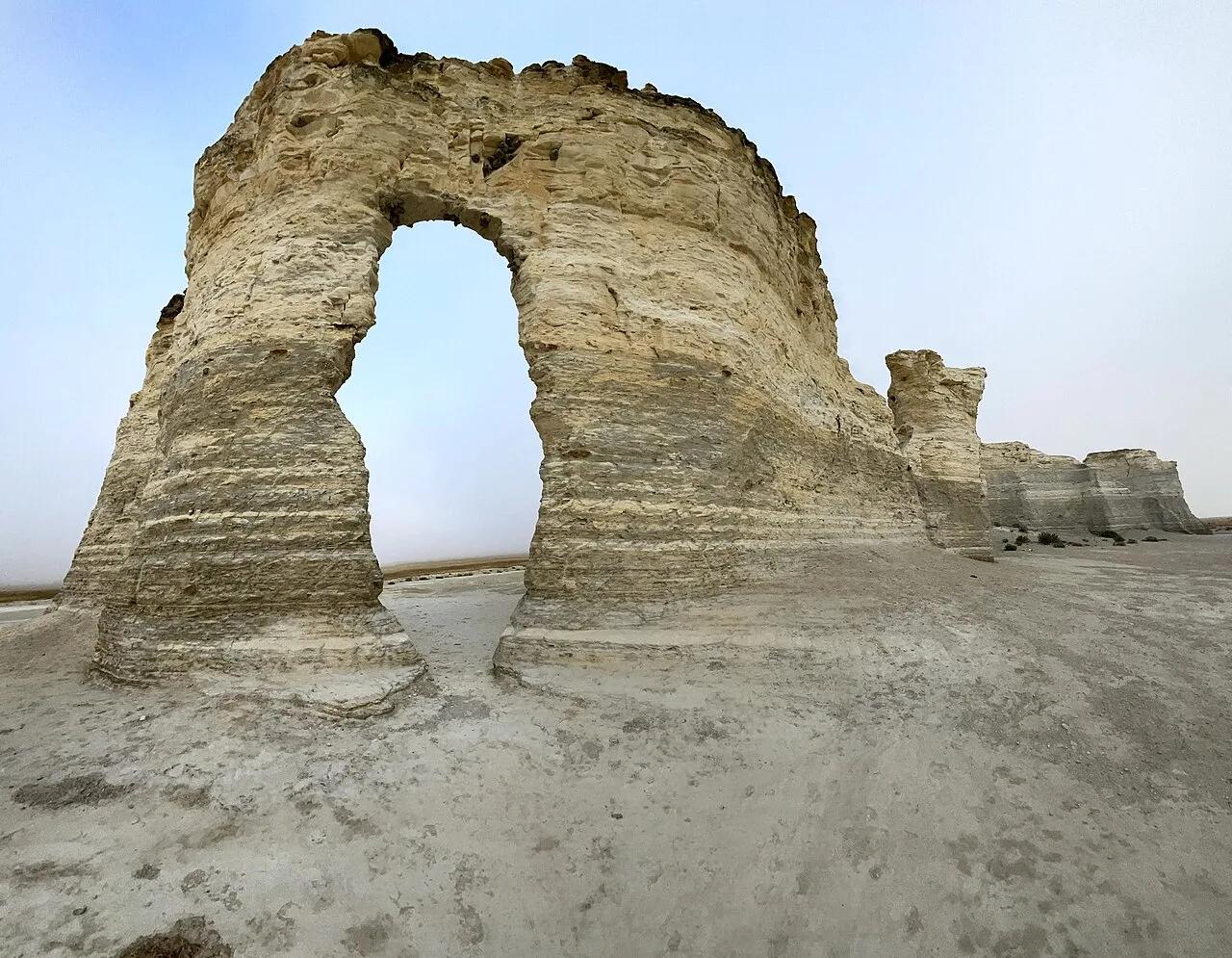
Little Jerusalem Badlands State Park · Western Kansas · Kansas
Kansas's newest state park, preserving 100-foot sheer spires and deeply eroded gullies of fragile 85-million-year-old Niobrara Chalk.
Photo: Mufasa2414 · CC BY-SA 4.0
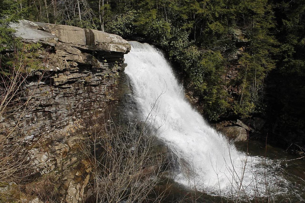
Swallow Falls State Park · Garrett County / Allegheny Plateau · Maryland
Maryland's highest free-falling waterfall plunges 53 feet into the Youghiogheny River surrounded by 300-year-old virgin hemlocks.
Photo: Bohemian Baltimore · CC BY-SA 4.0
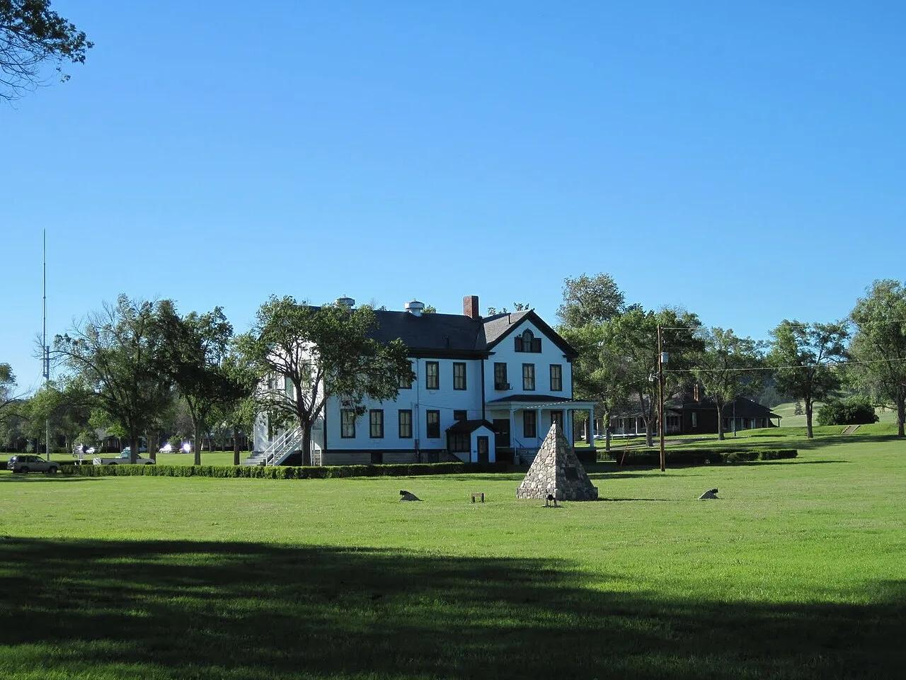
Fort Robinson State Park (Crawford) · Pine Ridge · Nebraska
Dramatic 500-foot cream-colored Arikaree sandstone buttes soaring above the high plains where Crazy Horse surrendered, threaded by scenic trails.
Photo: SkybirdForever · CC BY-SA 3.0
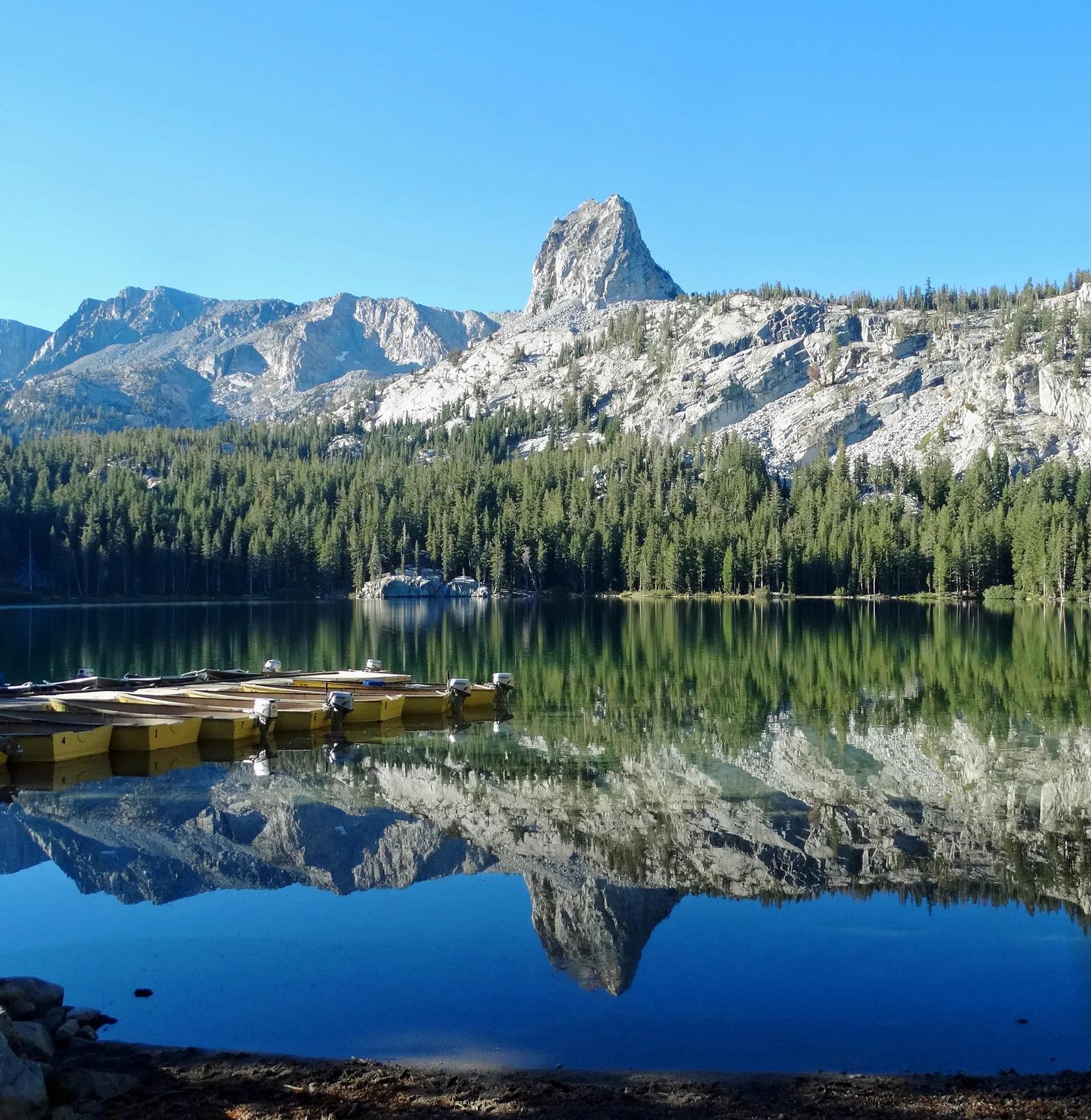
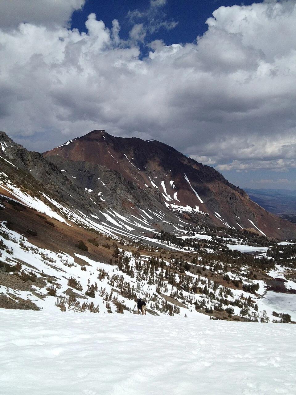
Inyo National Forest · Yosemite & Central Sierra
Verified California peak at 10,305 ft in Inyo National Forest (Yosemite & Central Sierra).
Photo: Don Graham from Redlands, CA, USA - God bless it! · CC BY-SA 2.0
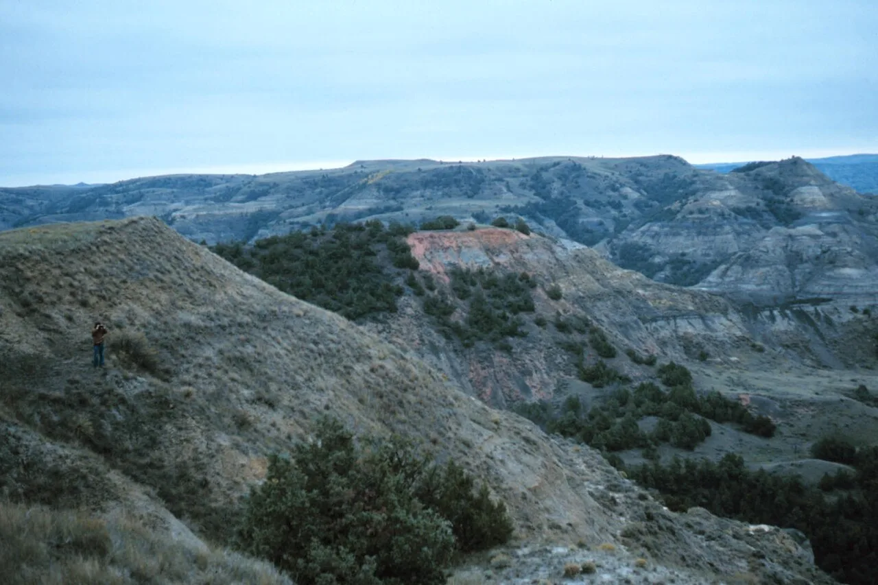
Theodore Roosevelt National Park (North Unit) · Badlands · North Dakota
Expansive high plains promontory jutting into the wild Little Missouri river wilderness with 360-degree views of rugged canyon country and grazing bison.
Photo: Joseph H. Hartman · Public domain
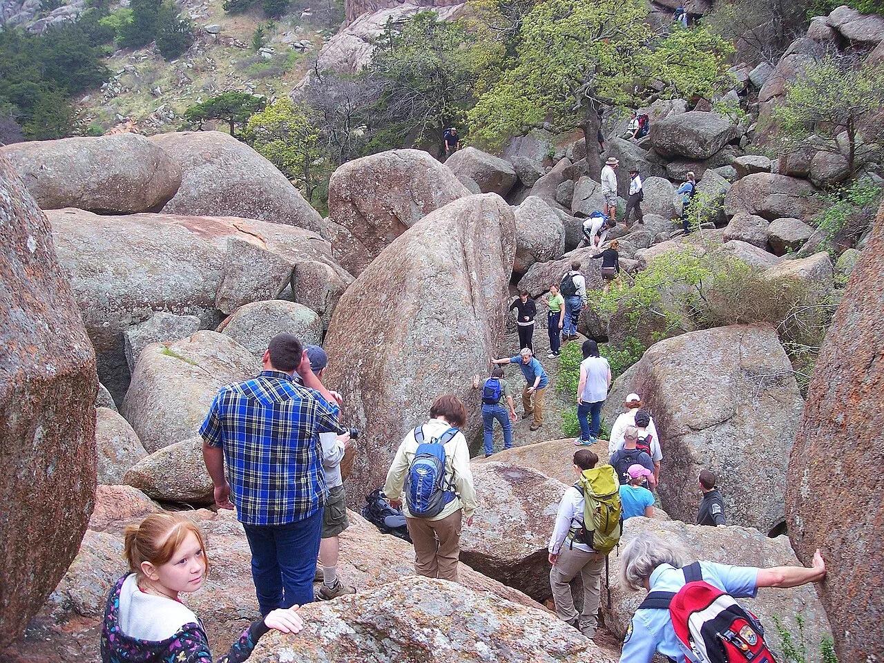
Wichita Mountains Wildlife Refuge (Charon's Garden) · Wichita Mountains · Oklahoma
Bizarre twin granite boulders perched like crab eyes atop a towering rock needle in the wild backcountry of the Charon's Garden Wilderness.
Photo: Photo David Smith U.S. Fish and Wildlife Service Headquarters · Public domain
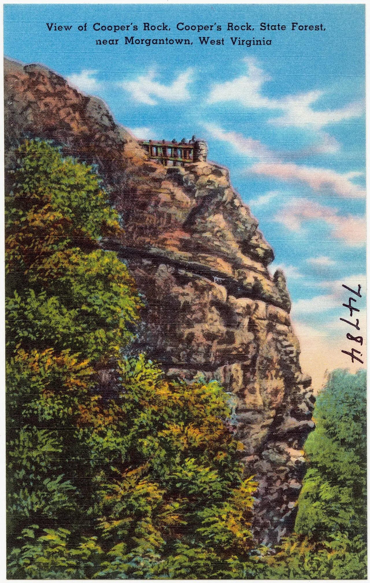
Coopers Rock State Forest · Appalachian & Blue Ridge · West Virginia
Cantilevered Pottsville sandstone cliff overlook perched 1,200 feet above the forested Cheat River Gorge.
Photo: Pub. by Photo Crafters Inc., Morgantown, W. VA. "Tichnor Quality Views," Reg.... · Public domain
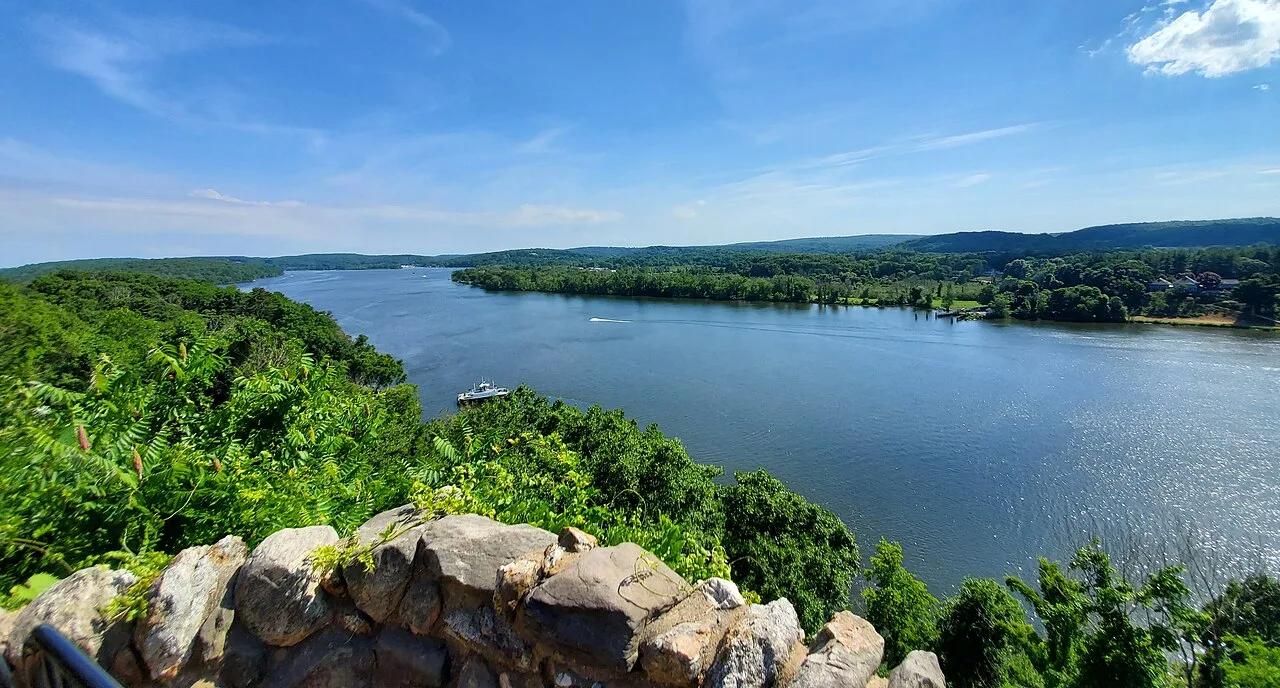
Gillette Castle State Park · Lower Connecticut River Valley · Connecticut
A medieval-style fieldstone castle built atop the Seventh Sister hill commanding panoramic vistas of the tidal Connecticut River.
Photo: It'sOnlyMakeBelieve · CC BY-SA 4.0
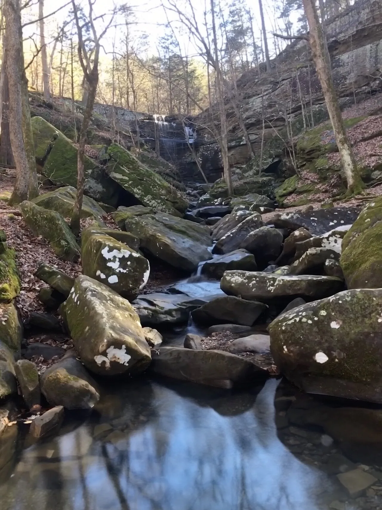
Shawnee National Forest (Burden Falls Wilderness) · Southern Illinois / Shawnee · Illinois
Illinois's largest waterfall complex, dropping over a series of sandstone ledges including an upper 20-foot drop and a thunderous 80-foot gorge plunge.
Photo: Mrostrichman · CC BY-SA 4.0

Backbone State Park (Dundee) · Northeast Iowa · Iowa
Iowa's oldest state park (1919), centering on a dramatic narrow bedrock ridge of Silurian dolomite flanked on three sides by the Maquoketa River loop.
Photo: Kevin Schuchmann · CC BY-SA 3.0