Hiking trail
5 photosKenai Fjords National Park · Alaska
Harding Icefield & Exit Glacier Trail
A monumental climb from valley floor through subalpine meadows to overlook a 700-square-mile sheet of prehistoric ice.
- Route
- 8.2 mi
- Climb
- 3,199 ft
Browse & Discover
Overlooks, natural arches, sea caves, groves and wildlife reserves.
40 of 2,051 places
Drag to pan. Double-click, pinch or scroll to zoom. Keyboard: arrow keys and +/−. Cards below remain available.
Loading map… Browse the spot cards below at any time.
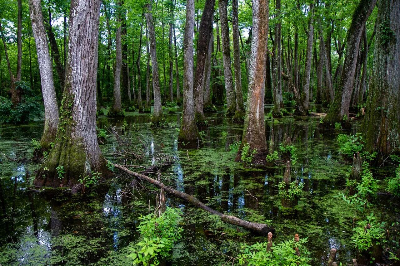
Natchez Trace Parkway (Canton) · South & Gulf Coast · Mississippi
Loop boardwalk curving directly across an old-growth bald cypress and water tupelo slough along the historic 444-mile Natchez Trace bike and scenic corridor.
Photo: Arthur T. LaBar · CC BY 2.0
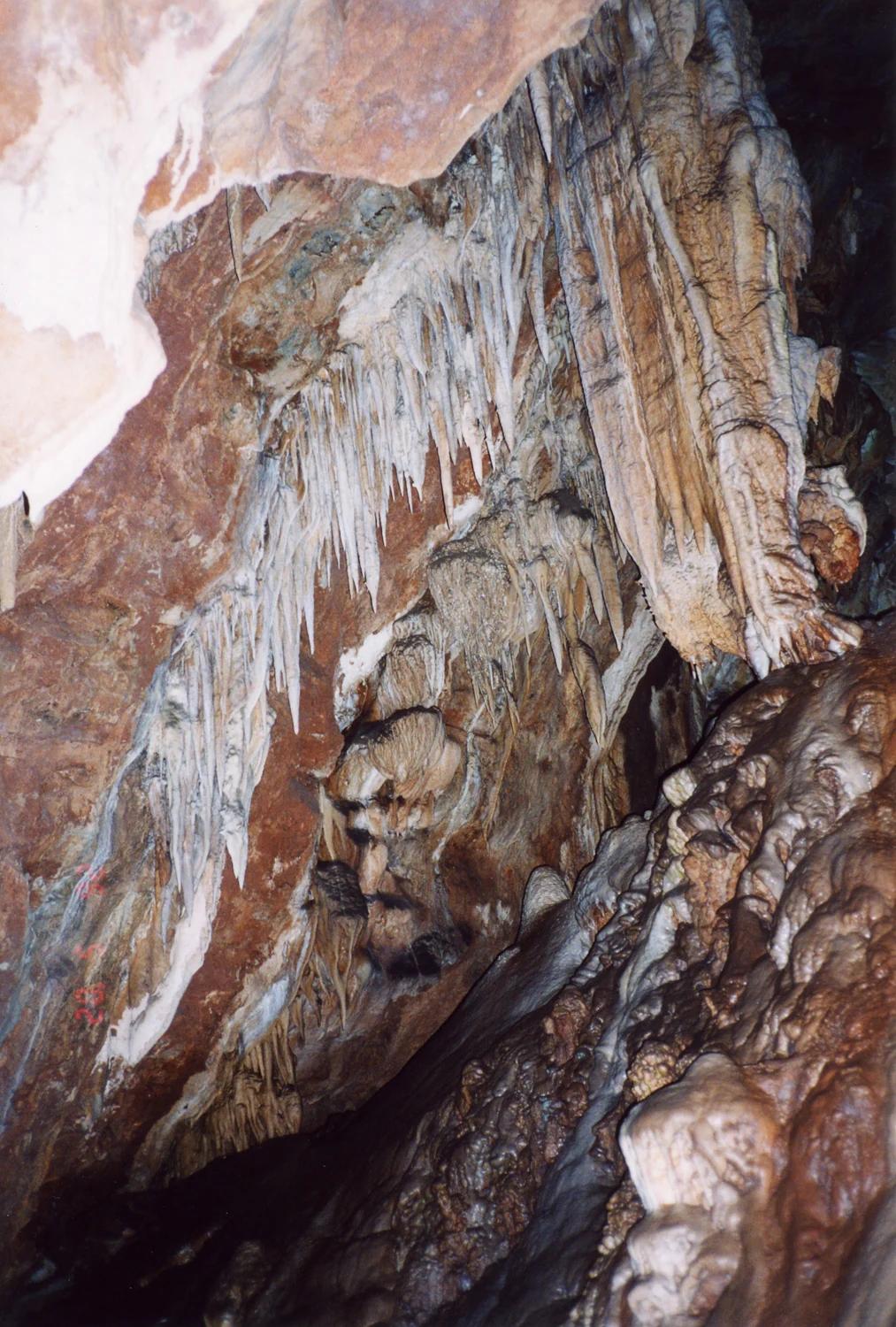
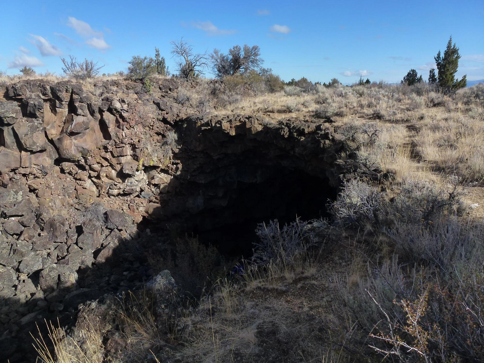
Central Valley & Foothills
Verified California cave entrance in Central Valley & Foothills.
Photo: No machine-readable author provided. EugeneZelenko assumed (based on copyright claims). · CC BY-SA 4.0
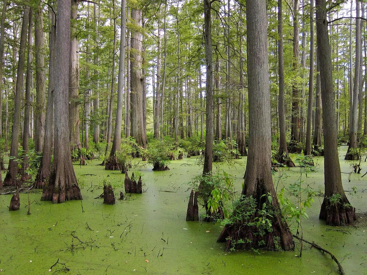
Cache River State Natural Area (Belknap) · Midwest & Great Lakes · Illinois
Floating boardwalk into a 1,000-year-old Tupelo and Bald Cypress wetland sanctuary at the northernmost edge of the Gulf Coastal Plain.
Photo: Miguel.v · CC BY-SA 3.0
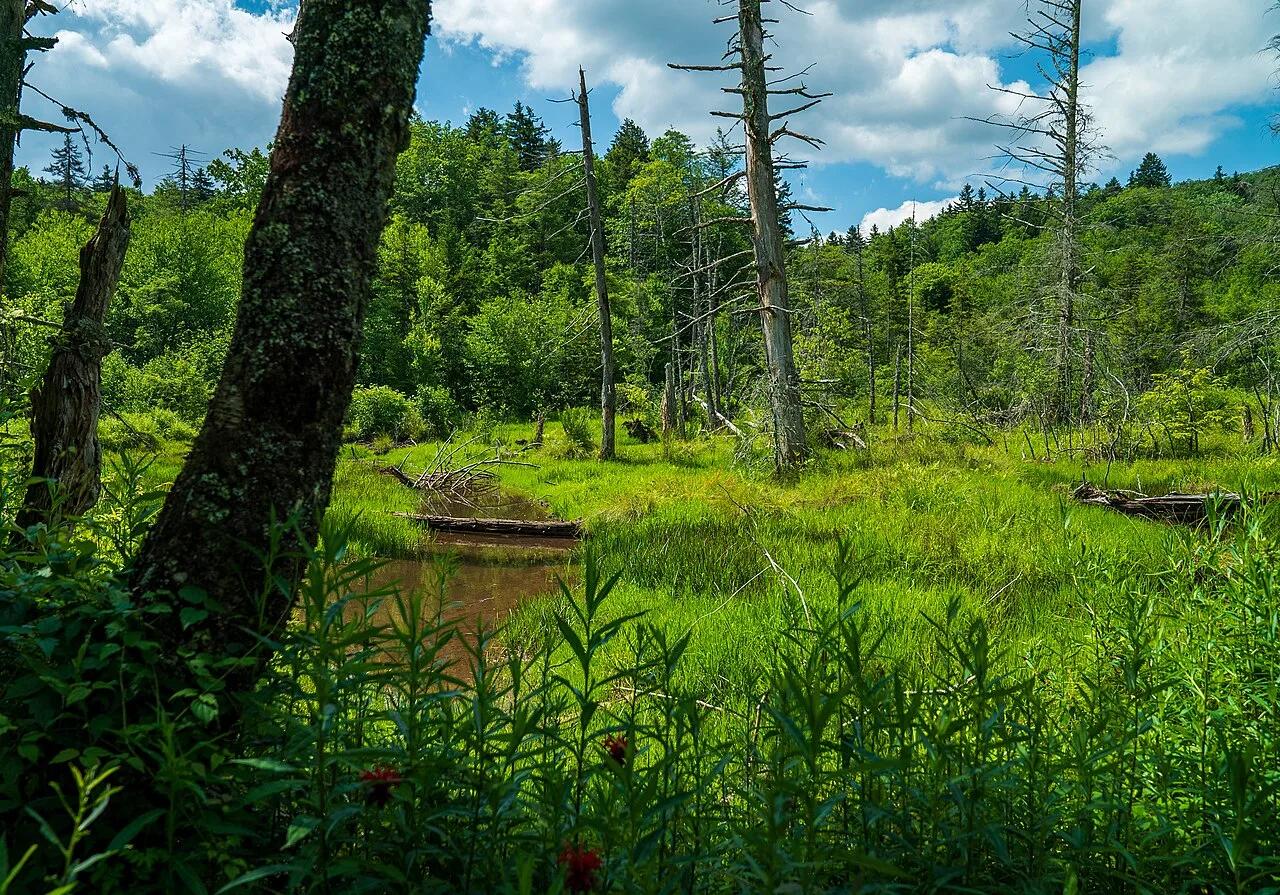
Monongahela National Forest · Appalachian & Blue Ridge · West Virginia
Half-mile raised boardwalk across four boreal-relic sphagnum peat bogs filled with pitcher plants, sundews, and orchids at 3,400 feet.
Photo: Forest Service Photography · Public domain
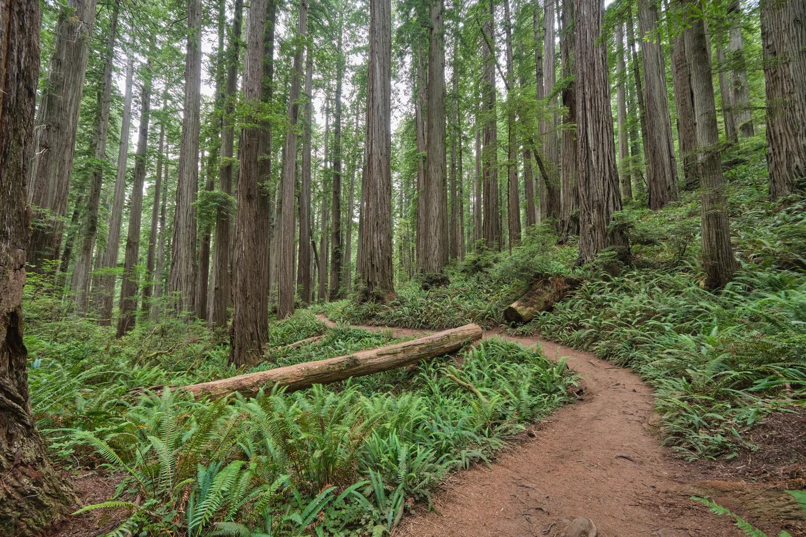
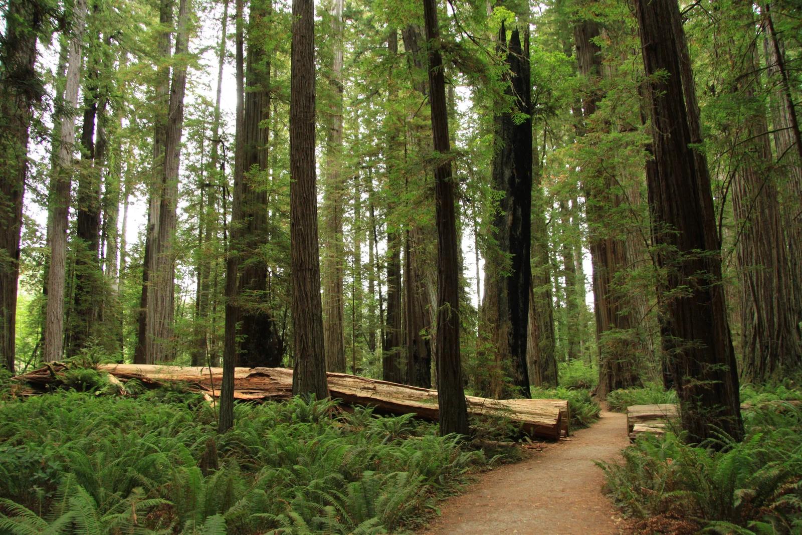
Jedediah Smith Redwoods State Park · Redwood Empire & North Coast
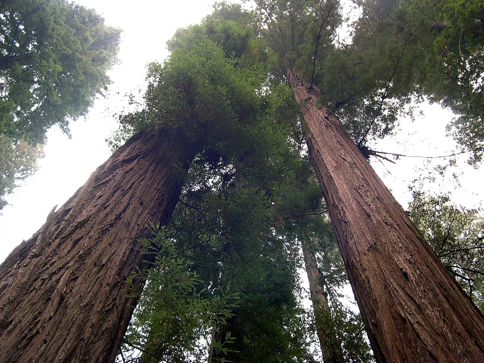
A breathtaking primeval trek through dense old-growth redwoods leading deep into ancient wilderness to a massive fused double tree.
Photo: Chris Rycroft from Madison, Wisconsin, United States · CC BY 2.0

Fire Island National Seashore · Long Island · New York
A 300-year-old maritime American holly canopy growing completely below sea level behind barrier dunes on the Atlantic shoreline.
Photo: National Park Service Digital Image Archives · Public domain
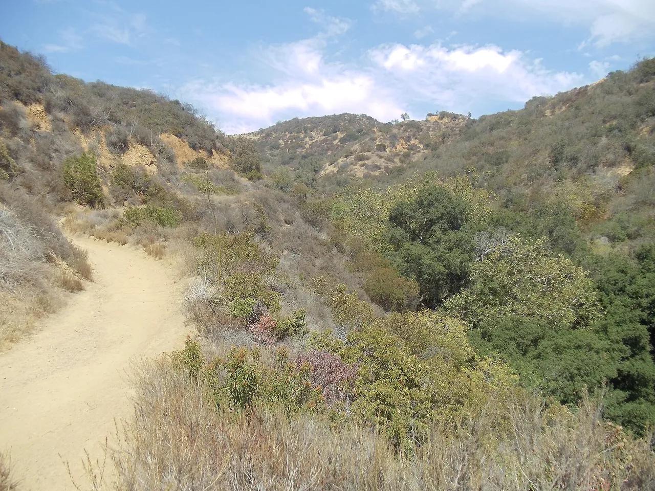
Franklin Canyon Park · Santa Monica Mountains
Nature preserve in Franklin Canyon Park (Santa Monica Mountains), about 11 miles northwest of downtown Los Angeles. Typical outing is 3.0 miles with 450 ft of climb. Popular with local hikers and Los Angeles hiking Meetup groups.
Photo: Zigzig20s · CC BY-SA 3.0
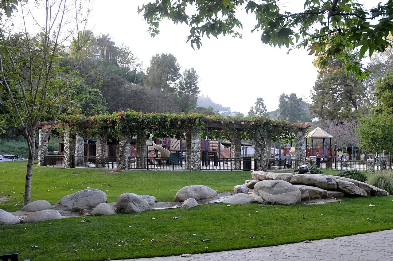
Coldwater Canyon Park · Santa Monica Mountains
Nature preserve in Coldwater Canyon Park (Santa Monica Mountains), about 11 miles northwest of downtown Los Angeles. Typical outing is 2.8 miles with 460 ft of climb. Popular with local hikers and Los Angeles hiking Meetup groups.
Photo: Toglenn · CC BY-SA 3.0
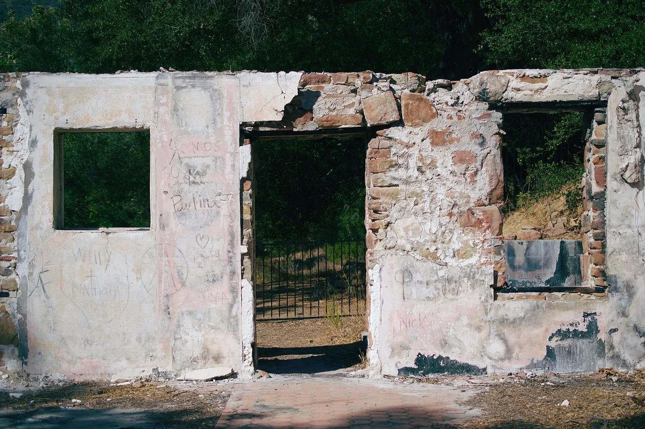
Santa Monica Mountains National Recreation Area · Santa Monica Mountains
Nature preserve in Santa Monica Mountains National Recreation Area (Santa Monica Mountains), about 29 miles west of downtown Los Angeles. Typical outing is 3.2 miles with 620 ft of climb. Popular with local hikers and Los Angeles hiking Meetup groups.
Photo: Levi Clancy · CC BY-SA 4.0
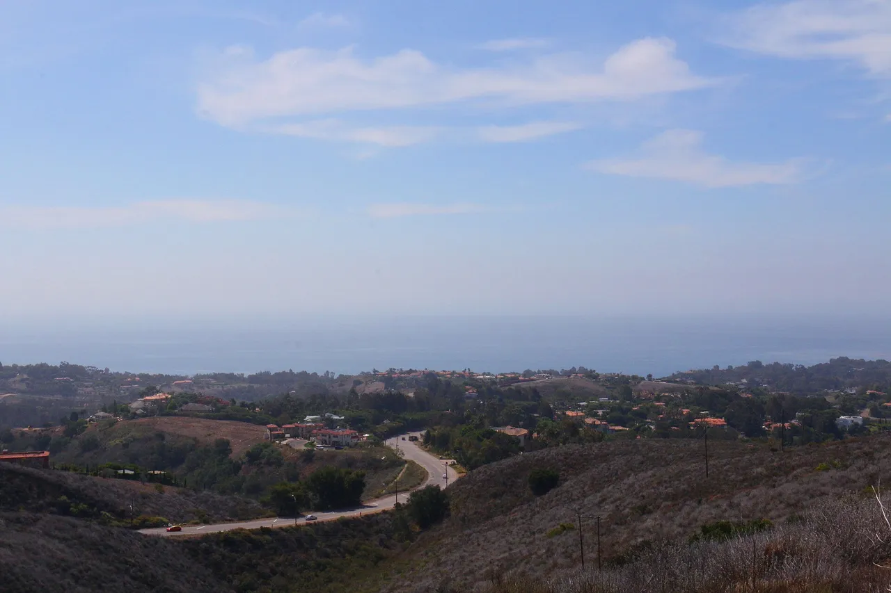
Santa Monica Mountains National Recreation Area · Santa Monica Mountains
Nature preserve in Santa Monica Mountains National Recreation Area (Santa Monica Mountains), about 33 miles west of downtown Los Angeles. Typical outing is 5.6 miles with 940 ft of climb. Popular with local hikers and Los Angeles hiking Meetup groups.
Photo: Santa Monica Mountains National Recreation Area · Public domain
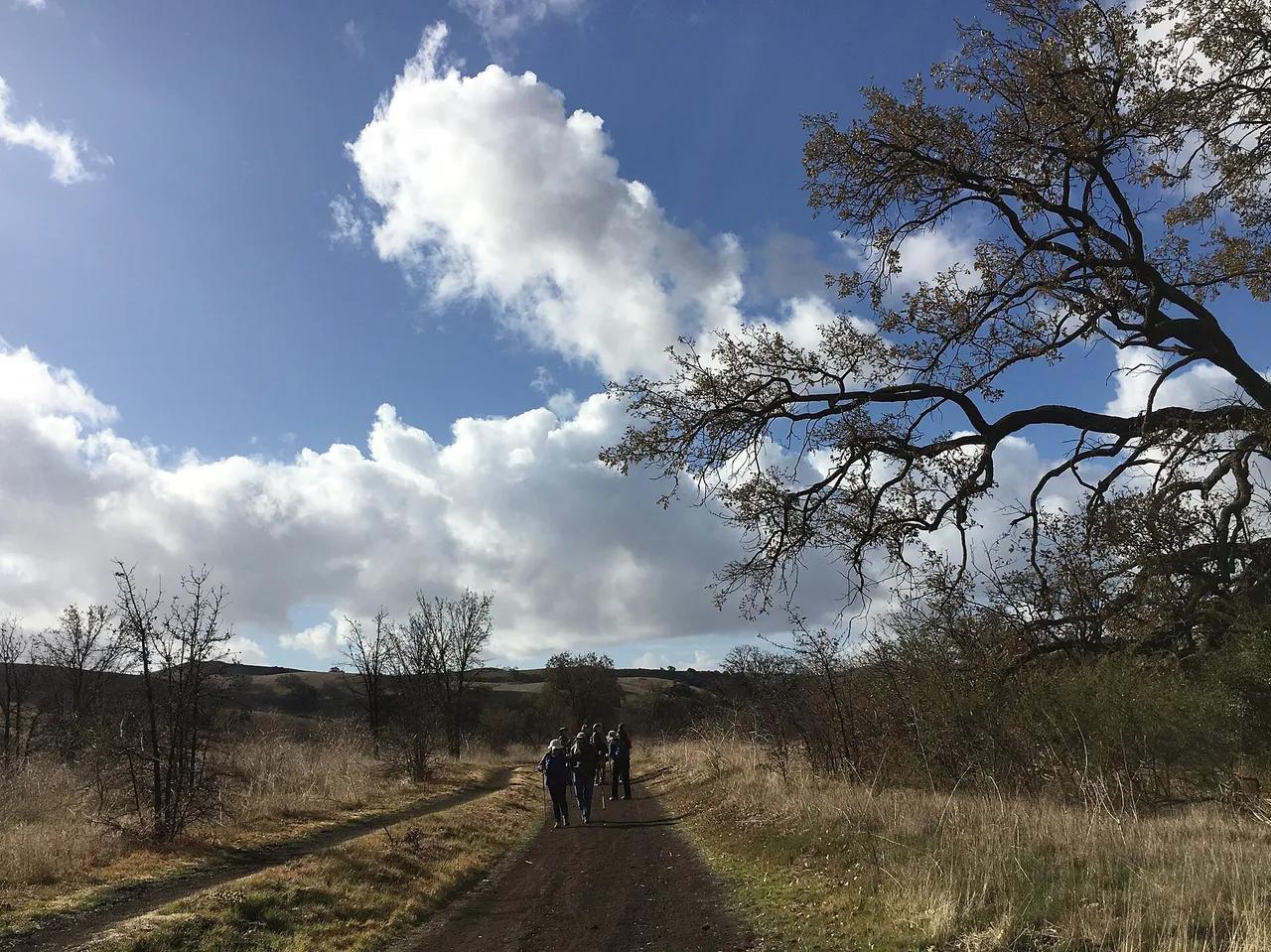
Santa Monica Mountains National Recreation Area · Santa Monica Mountains
Nature preserve in Santa Monica Mountains National Recreation Area (Santa Monica Mountains), about 29 miles west of downtown Los Angeles. Typical outing is 4.6 miles with 540 ft of climb. Popular with local hikers and Los Angeles hiking Meetup groups.
Photo: Santa Monica Mountains National Recreation Area · Public domain
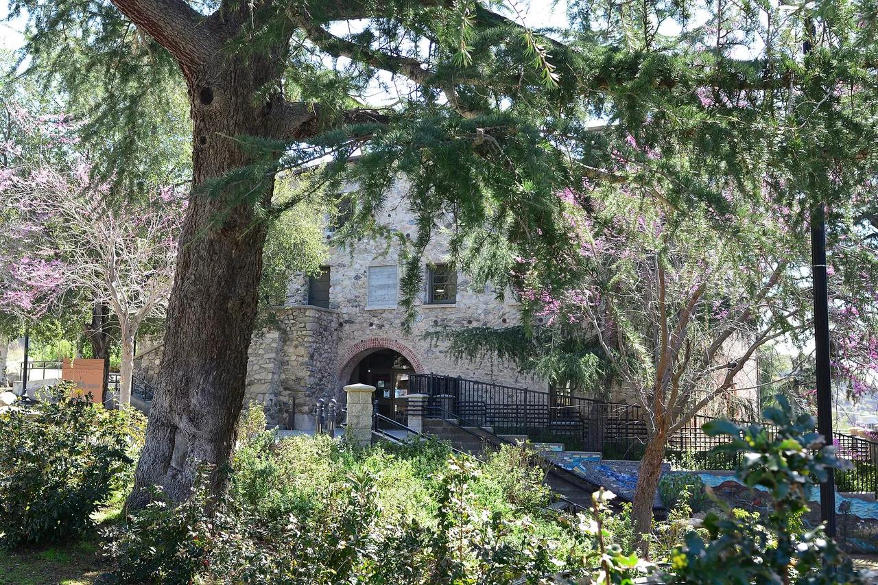
Deukmejian Wilderness Park · San Gabriel Mountains
Nature preserve in Deukmejian Wilderness Park (San Gabriel Mountains), about 13 miles north of downtown Los Angeles. Typical outing is 4.1 miles with 1,150 ft of climb. Popular with local hikers and Los Angeles hiking Meetup groups.
Photo: Joe Mabel · CC BY-SA 4.0
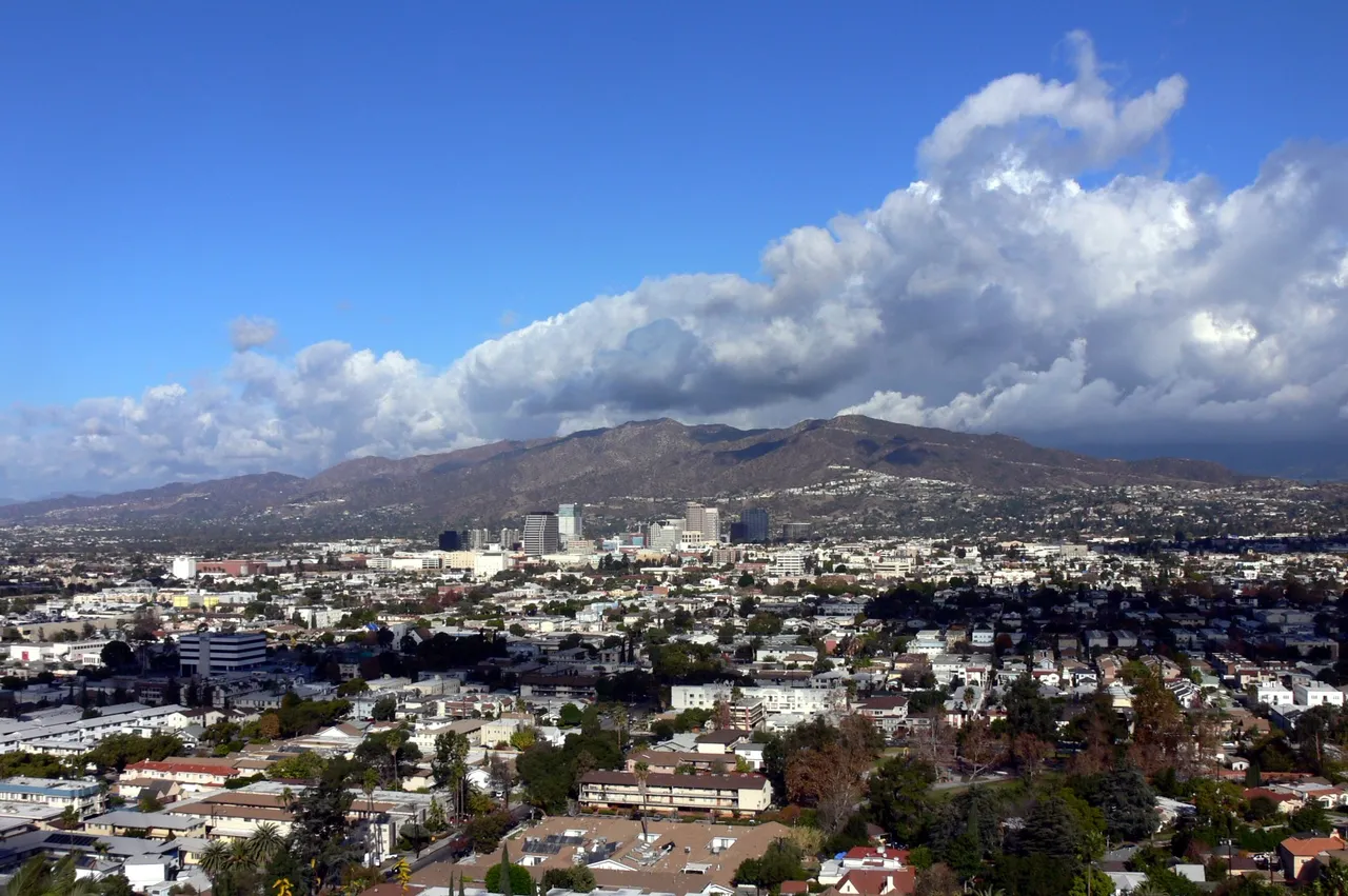
Verdugo Mountains · Greater Los Angeles
Nature preserve in Verdugo Mountains (Greater Los Angeles), about 11 miles north of downtown Los Angeles. Typical outing is 6.4 miles with 1,850 ft of climb. Popular with local hikers and Los Angeles hiking Meetup groups.
Photo: No machine-readable author provided. Mike Dillon assumed (based on copyright ... · CC BY-SA 3.0
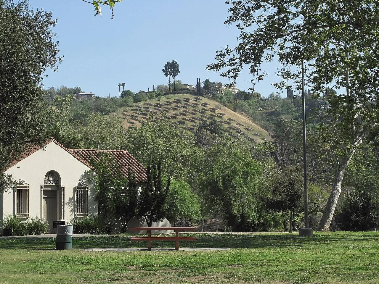
Ernest E. Debs Regional Park · Greater Los Angeles
Nature preserve in Ernest E. Debs Regional Park (Greater Los Angeles), about 4 miles northeast of downtown Los Angeles. Typical outing is 3.1 miles with 460 ft of climb. Popular with local hikers and Los Angeles hiking Meetup groups.
Photo: Downtowngal · CC BY-SA 3.0
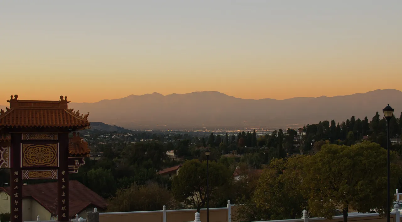
Puente Hills Preserve · Greater Los Angeles
Nature preserve in Puente Hills Preserve (Greater Los Angeles), about 14 miles east of downtown Los Angeles. Typical outing is 4.4 miles with 890 ft of climb. Popular with local hikers and Los Angeles hiking Meetup groups.
Photo: InSapphoWeTrust from Los Angeles, California, USA · CC BY-SA 2.0
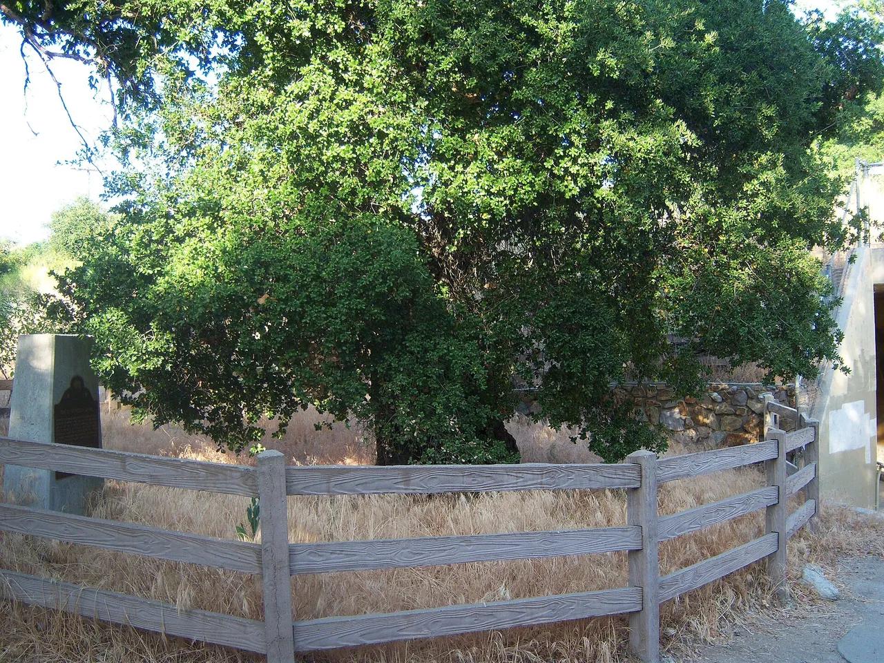
Placerita Canyon State Park · Greater Los Angeles
Nature preserve in Placerita Canyon State Park (Greater Los Angeles), about 26 miles northwest of downtown Los Angeles. Typical outing is 3.7 miles with 420 ft of climb. Popular with local hikers and Los Angeles hiking Meetup groups.
Photo: Konrad Summers · CC BY-SA 2.0
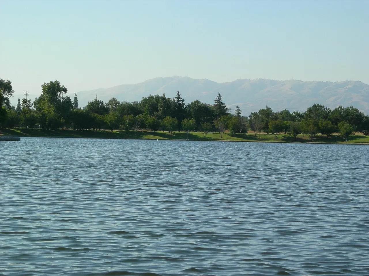
Sepulveda Basin Recreation Area · Greater Los Angeles
Nature preserve in Sepulveda Basin Recreation Area (Greater Los Angeles), about 16 miles northwest of downtown Los Angeles. Typical outing is 2.5 miles with 40 ft of climb. Popular with local hikers and Los Angeles hiking Meetup groups.
Photo: Makaristos · Public domain
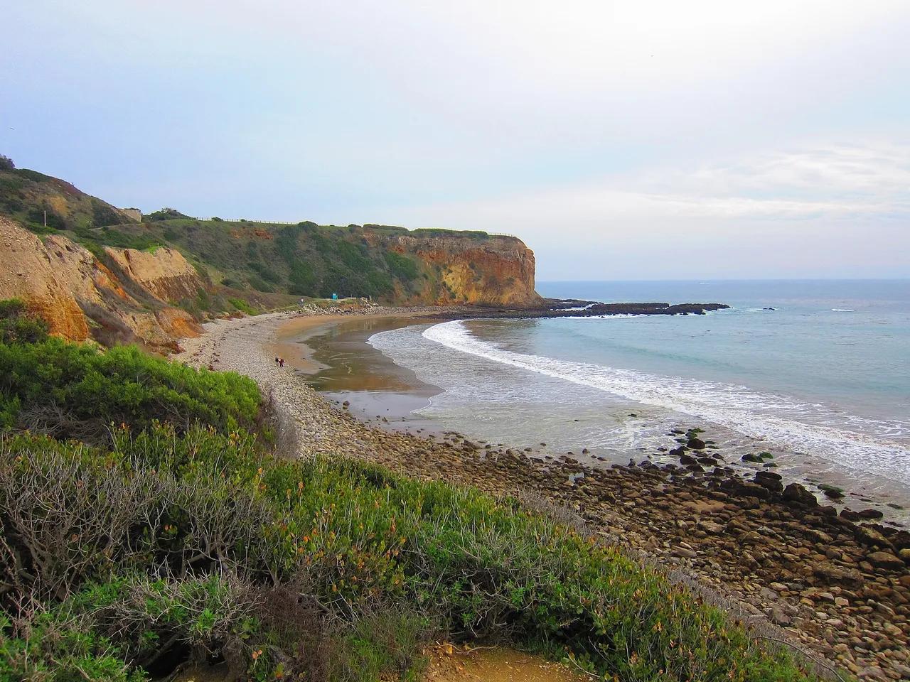
Palos Verdes Nature Preserve · Greater Los Angeles
Nature preserve in Palos Verdes Nature Preserve (Greater Los Angeles), about 21 miles south of downtown Los Angeles. Typical outing is 4.6 miles with 870 ft of climb. Popular with local hikers and Los Angeles hiking Meetup groups.
Photo: Jim Helvey · CC BY 3.0