Viewpoint
Kisatchie National Forest · South & Gulf Coast · Louisiana
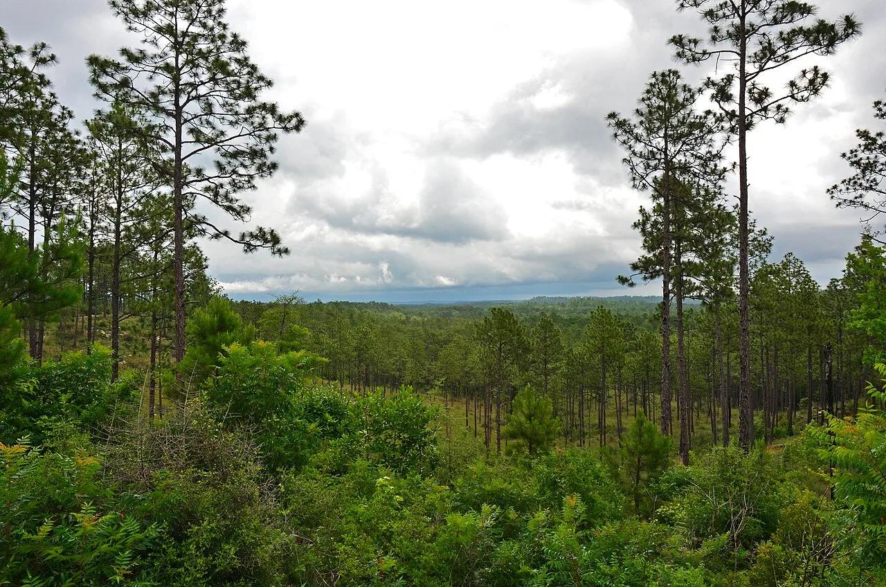
Longleaf Vista & Sandstone Bluffs
Mesa-like Miocene sandstone outcrops and longleaf pine savannas in the Kisatchie Hills Wilderness.
- Route
- 2.8 mi
- Climb
- 312 ft
Browse & Discover
Canyon trails, waterfall walks, ridge traverses and high peaks.
8 of 2,051 places
Drag to pan. Double-click, pinch or scroll to zoom. Keyboard: arrow keys and +/−. Cards below remain available.
Loading map… Browse the spot cards below at any time.
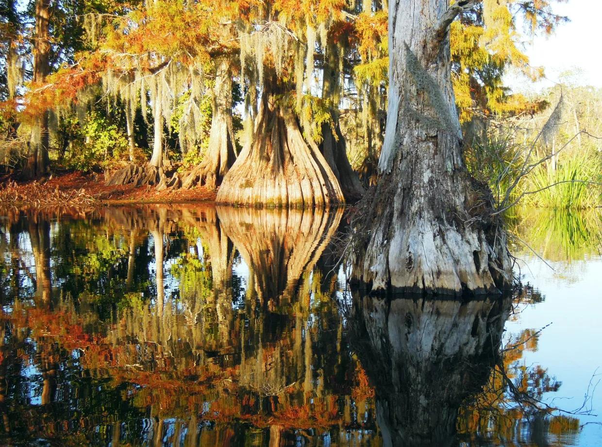
Chicot State Park (Ville Platte) · South & Gulf Coast · Louisiana
20-mile Circumferential hiking/mountain-bike trail and 8-mile marked canoe loop encircling a 2,000-acre cypress-tupelo lake and beech-magnolia hills.
Photo: jillian.e · CC BY 2.0
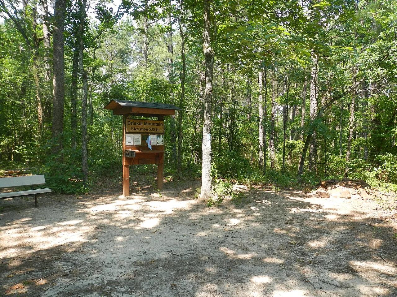
Bienville Parish Rolling Hills (Bryceland) · South & Gulf Coast · Louisiana
Highest natural elevation in Louisiana (535 ft)—a wooded Eocene ferricrete sandstone ridge ablaze with wild native azaleas in spring.
Photo: Fredlyfish4 · CC BY-SA 3.0
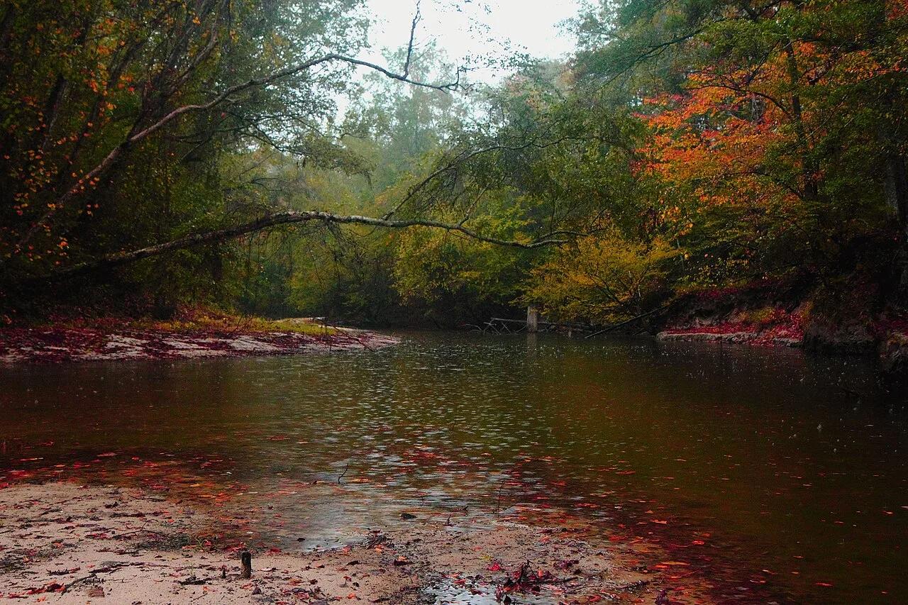
Kisatchie National Forest (Provencal) · South & Gulf Coast · Louisiana
Rare white-sandbars and rocky Catahoula sandstone rapids along Kisatchie Bayou shaded by towering pines and magnolias.
Photo: finchlake2000 from Finch Lake Campground, (a small drinking village, with a B... · CC BY 2.0
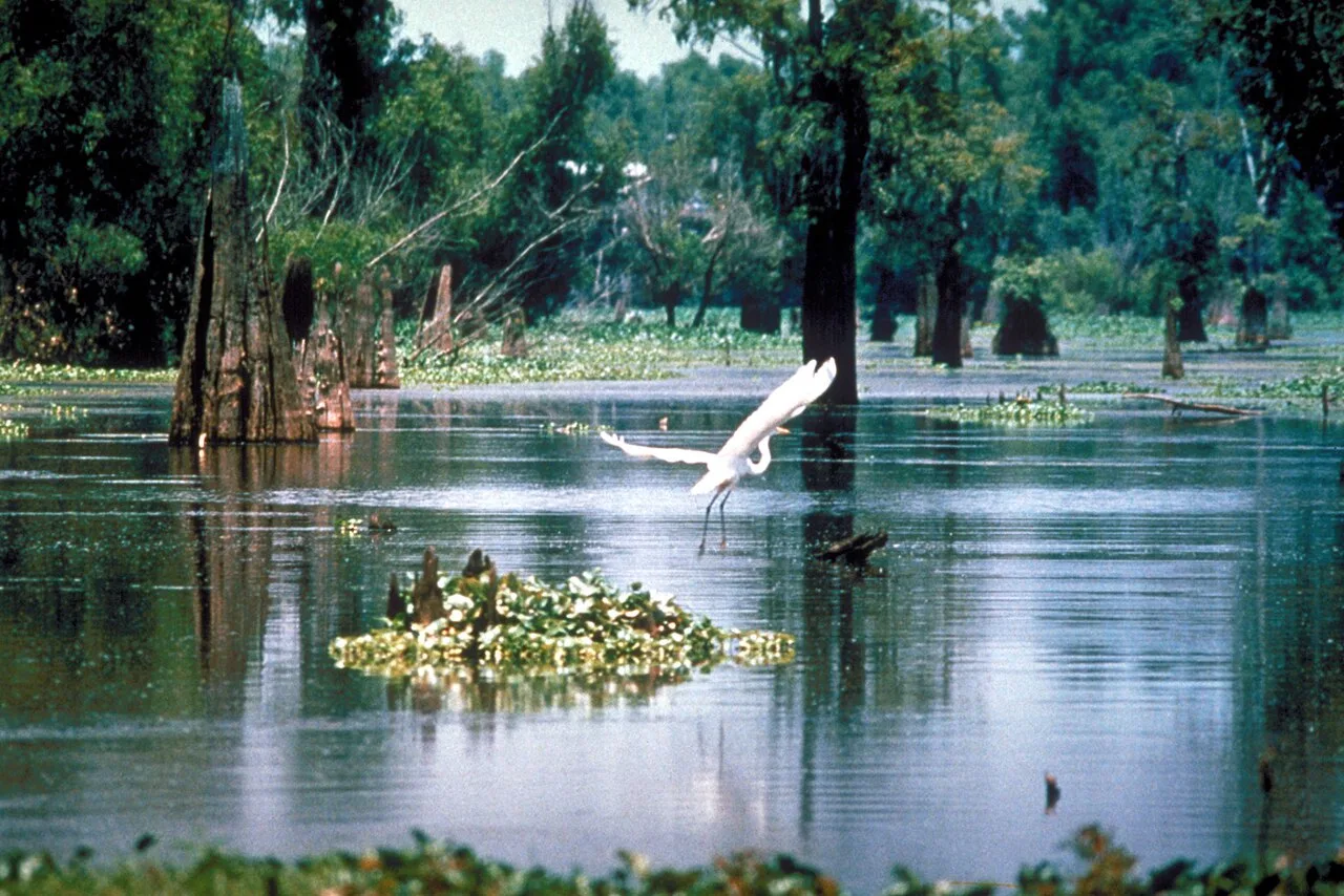
Lake Fausse Pointe State Park (St. Martinville) · South & Gulf Coast · Louisiana
6,000-acre wilderness inside the Atchafalaya Basin featuring backwater cypress canoe trails and elevated swamp boardwalks.
Photo: U.S. Army Corps of Engineers, photographer not specified or unknown · Public domain
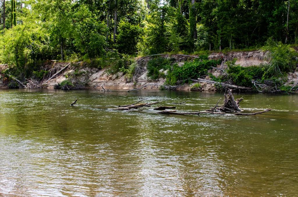
Bogue Chitto State Park (Franklinton) · South & Gulf Coast · Louisiana
Eroded sandstone spires resembling miniature badlands tucked inside a bamboo and hardwood ravine beside the Bogue Chitto River.
Photo: mcandrus · CC BY 2.0
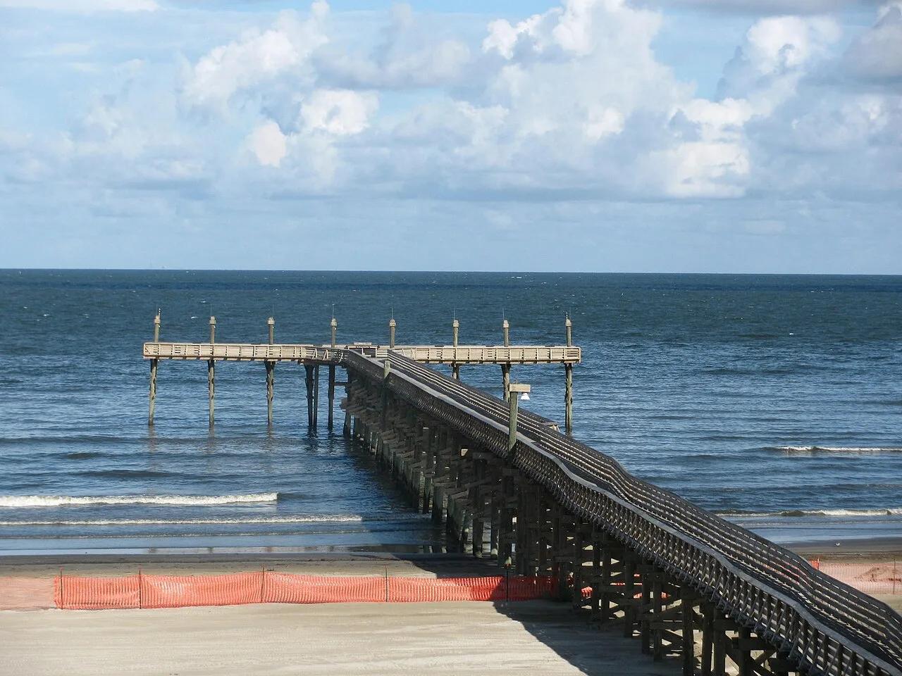
Grand Isle State Park · Atlantic & Gulf Coasts · Louisiana
Louisiana's only inhabited barrier island, offering a mile of Gulf of Mexico surf beach, live-oak chenier birding trails, and a 400-foot fishing pier.
Photo: Rebecca Milby · CC BY 2.0