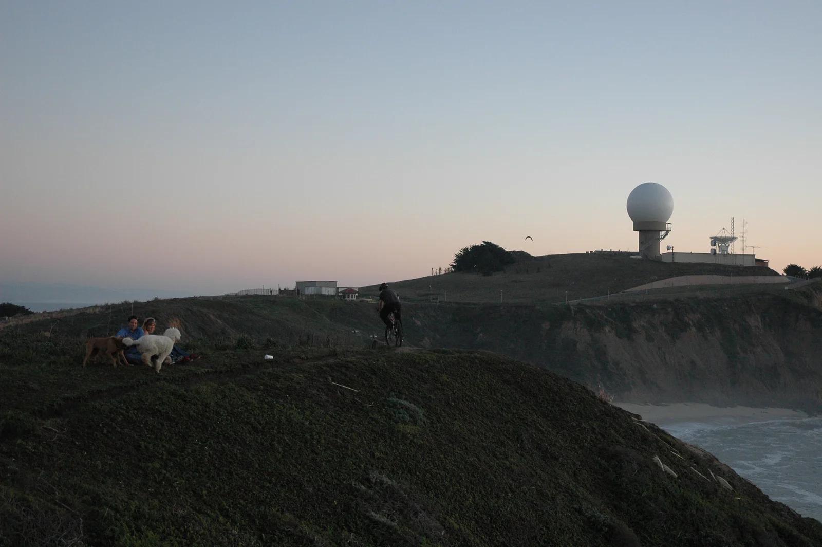
Pillar Point Bluff Marine Reserve · San Francisco Bay Area
Mavericks Pillar Point
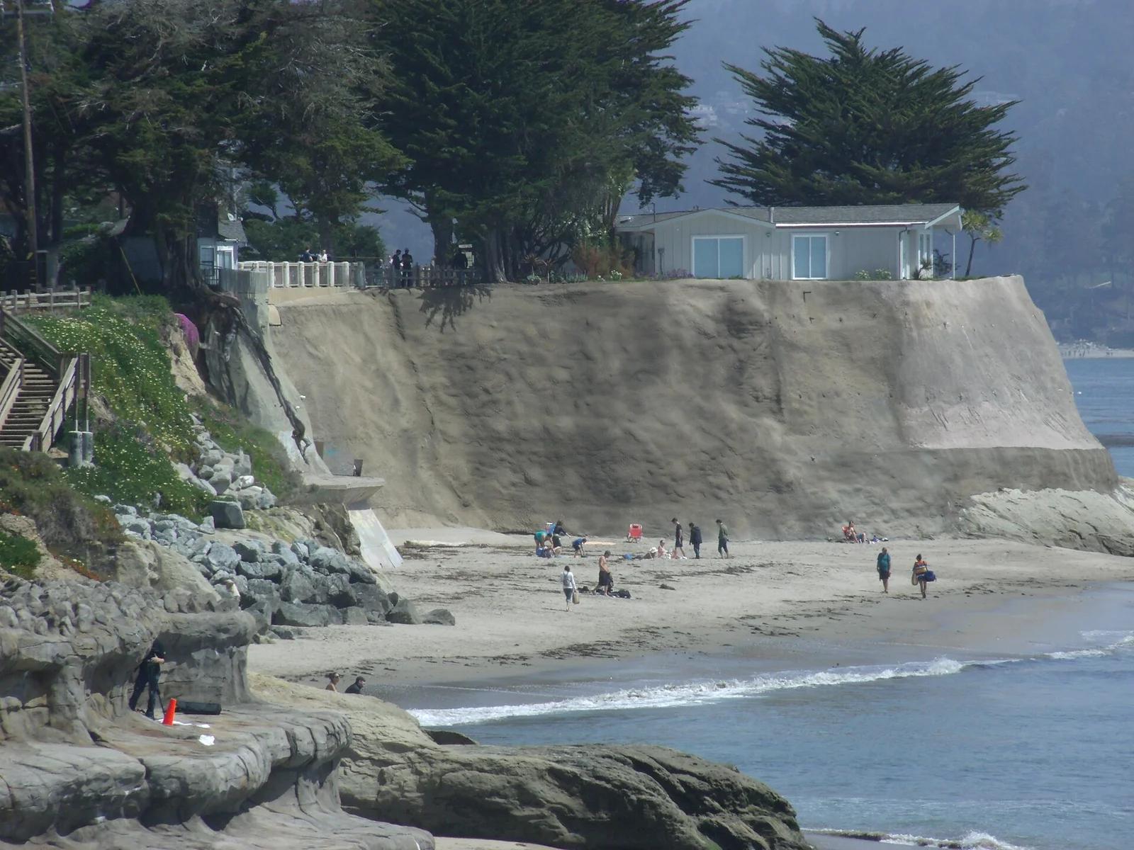
Northern California's legendary big-wave arena where winter Pacific swells detonate on a deep underwater reef producing 50-foot wave faces.
- Route
- 2.4 mi
- Climb
- 82 ft
Browse & Discover
Canyon trails, waterfall walks, ridge traverses and high peaks.
1,159 of 2,051 places
Drag to pan. Double-click, pinch or scroll to zoom. Keyboard: arrow keys and +/−. Cards below remain available.
Loading map… Browse the spot cards below at any time.

Joshua Tree National Park
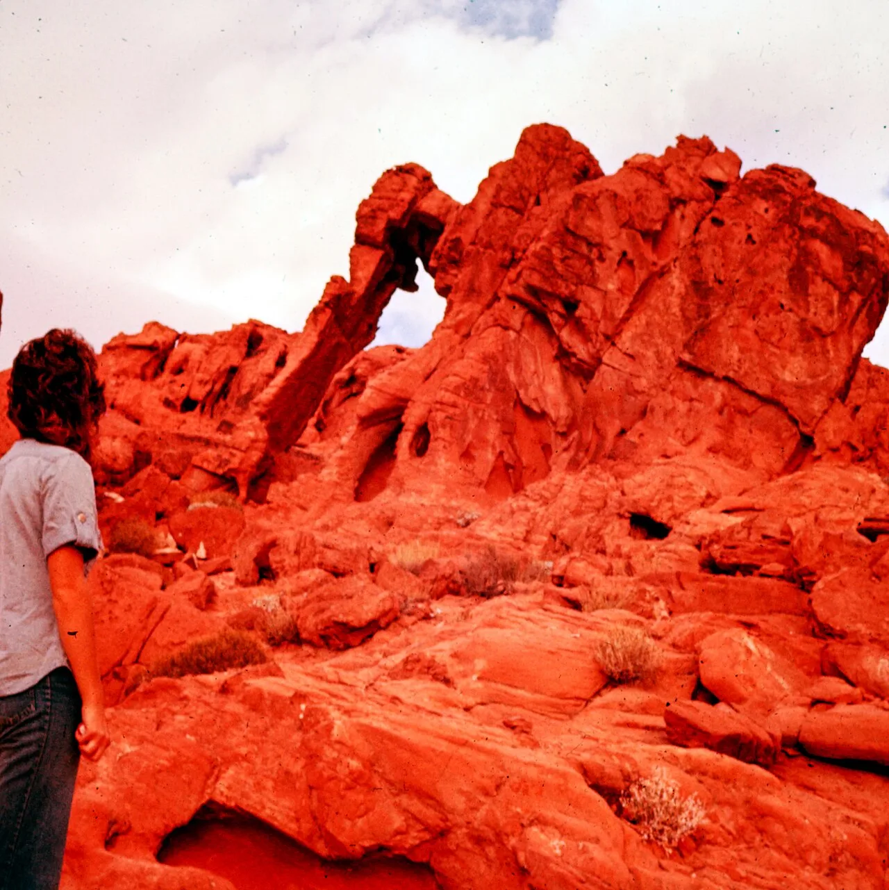
A granite arch in the White Tank monzogranite, reached by a short sandy trail from the Twin Tanks parking area.
John D. from Pasadena, USA · CC BY 2.0. Source & image licence

Joshua Tree National Park
A short desert trail to the historic Barker Dam water-storage structure in Joshua Tree National Park.
Hannah Schwalbe / NPS · Public domain. Source & image licence

Russian Ridge Open Space Preserve
The highest named summit in San Mateo County, an open grassland top on Russian Ridge with views from the ocean to the Bay.
Justin Dolske from Cupertino, USA · CC BY-SA 2.0. Source & image licence

Eaton Canyon Natural Area
The waterfall at the head of lower Eaton Canyon, reached by a wide wash walk from the Eaton Canyon Nature Center and a final creekside scramble.
[scott.medling or en:user:scott.medling user:scott.medling from California, United States] · CC BY-SA 2.0. Source & image licence

Escondido Canyon Park
A multi-tiered waterfall in Escondido Canyon above Malibu. The maintained trail ends at the base of the mossy lower tier.
Santa Monica Mountains National Recreation Area · Public domain. Source & image licence

Mount Tamalpais Watershed
A winter-and-spring cascade on Cataract Creek just below the Laurel Dell picnic area, reached downhill along the Cataract Trail from Rock Spring.
Richard Wood · CC BY-SA 3.0. Source & image licence

Joshua Tree National Park
One of the best-preserved stamp mills in Joshua Tree National Park, at the site of the Lost Horse gold mine.
Joseph from Cabin On The Road, USA · CC BY-SA 2.0. Source & image licence

Angeles National Forest
A waterfall of about fifty feet filling the head of a narrow, shaded canyon, a short walk upstream from Millard Campground.
Region 5 Photography · Public domain. Source & image licence

Mount Tamalpais State Park
The summit of Mount Tamalpais, a short plank-and-rock climb from the East Peak visitor area to the fire lookout above the whole Bay Area.
Chris Koerner from St. Louis, USA · CC BY-SA 2.0. Source & image licence

Inyo National Forest
A quiet lake in the Ansel Adams Wilderness beneath Parker Peak, reached through sage and an aspen-lined creek canyon off the June Lake Loop.
Mark Gunn from Novato, California, USA · CC BY 2.0. Source & image licence

Pfeiffer Big Sur State Park
A 60-foot waterfall on Pfeiffer-Redwood Creek, reached through the redwoods of Pfeiffer Big Sur State Park on a trail twice rebuilt — after the 2008 Basin Complex Fire and again after 2023 storm damage.
Joe Mabel · CC BY-SA 4.0. Source & image licence

Santa Monica Mountains National Recreation Area
The highest point in the Santa Monica Mountains, climbed from the Mishe Mokwa trailhead along the Backbone Trail at Circle X Ranch.
Wasquewhat · CC BY-SA 4.0. Source & image licence

Angeles National Forest
A 50-foot single drop into a shallow plunge pool, 1.7 mi up Big Santa Anita Canyon. Shaded the entire way in. The work is all on the walk out.
U.S. Department of Agriculture / USDA USFS · CC BY 2.0. Source & image licence

Santa Monica Mountains National Recreation Area
The ruins of the Roberts family ranch house at the end of the canyon-floor trail in Solstice Canyon, beside a small seasonal waterfall.
George Heras / Santa Monica Mountains National Recreation Area · Public domain. Source & image licence

Pfeiffer Big Sur State Park
An overlook above the Big Sur River valley, looking north over the redwoods toward Point Sur and the Pacific.
King of Hearts · CC BY-SA 3.0. Source & image licence

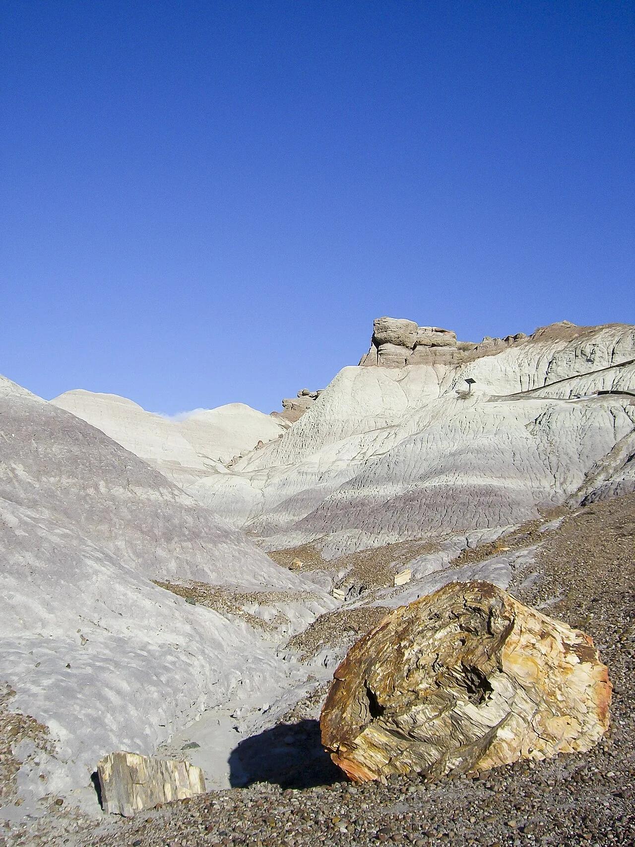
Petrified Forest National Park · American Southwest · Arizona
Paved pathway descending along a razorback spine into amethyst, blue, and lavender Triassic bentonite badlands studded with 225-million-year-old petrified logs.
Photo: Diego Delso · CC BY-SA 4.0

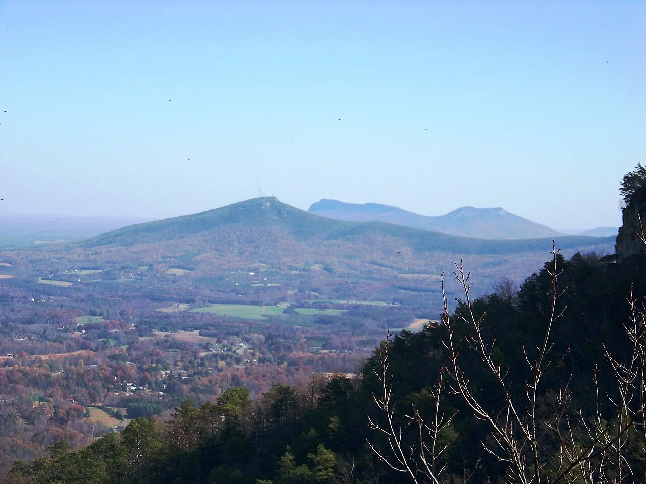
Pilot Mountain State Park · Appalachian & Blue Ridge · North Carolina
Iconic 200-foot circular quartzite monadnock knob crowned by vertical cliffs and vegetated ledges rising 1,400 feet above the Yadkin Valley.
Photo: Idawriter · CC BY-SA 3.0

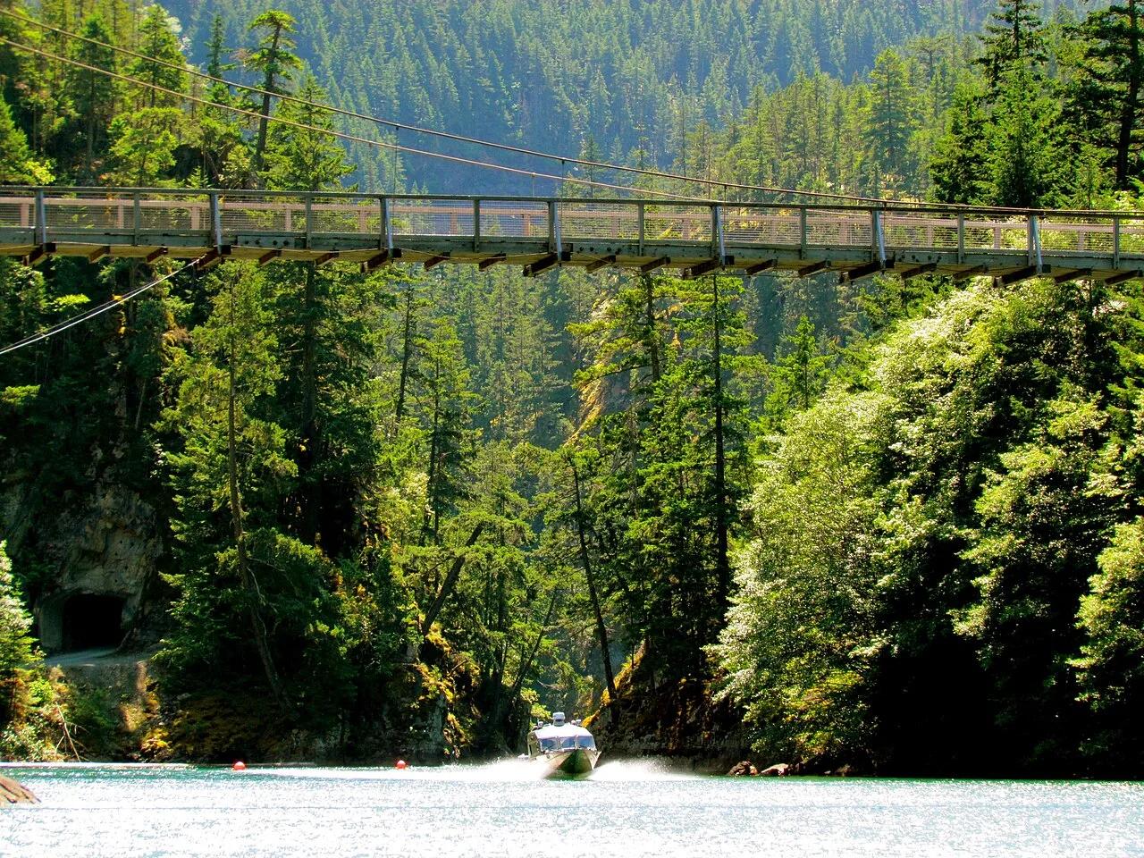
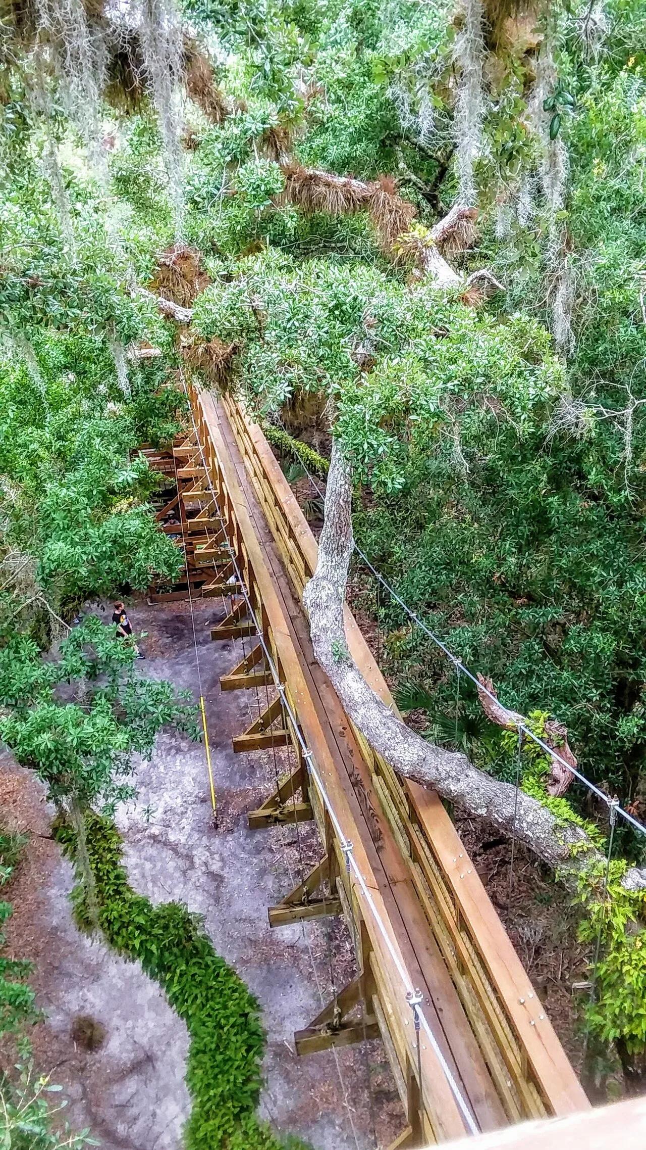
Myakka River State Park (Sarasota) · Atlantic & Gulf Coasts · Florida
North America's first public treetop suspension bridge soaring 25 feet through live oak and sabal palm canopy to a 74-foot observation tower.
Photo: Troy Jacobson · CC BY-SA 4.0

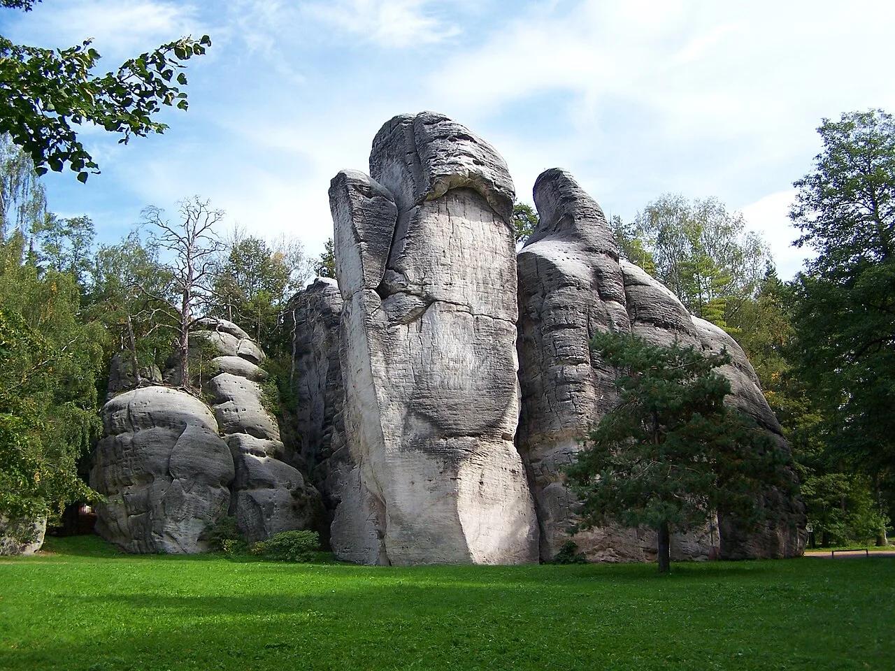
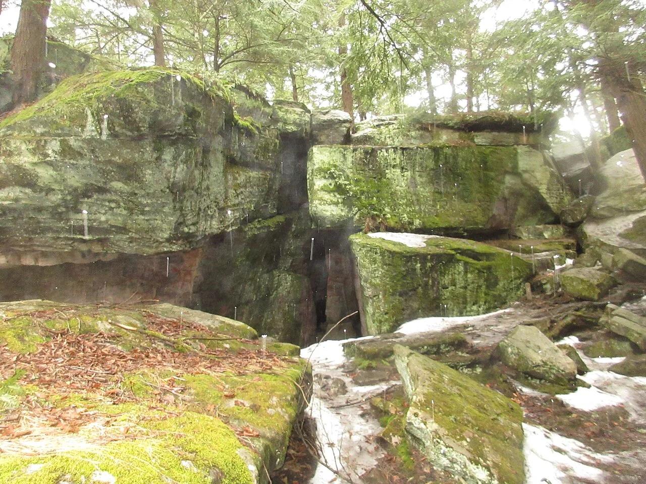
Bilger's Rocks Community Park · PA Wilds / Clearfield County · Pennsylvania
A 300-million-year-old labyrinth of 50-foot Carboniferous sandstone megaliths with squeeze-crevices, subterranean rooms, and cold caves.
Photo: VitaleBaby · Public domain

Barn Bluff Park (Red Wing) · Mississippi River Valley · Minnesota
Iconic 340-foot limestone bluff soaring above the Mississippi River with native goat prairie slopes, falcon nesting ledges, and views of Lake Pepin.
Photo: JJ Harrison (https://www.jjharrison.com.au/) · CC BY-SA 3.0

Radnor Lake State Natural Area (Nashville) · Appalachian & Blue Ridge · Tennessee
1,368-acre protected Class II Natural Area sanctuary of car-free lakeside boardwalks, bald eagle observation decks, and steep Overton Hills ridges.
Photo: Brian Stansberry · CC BY 3.0

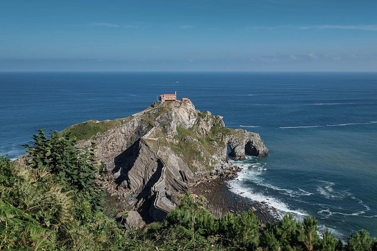
Biotopo Protegido de Gaztelugatxe (Bermeo) · Mediterranean Europe · Spain
241-step stone causeway snaking across wave-battered Bay of Biscay sea arches to a 10th-century island hermitage.
Photo: Jules Verne Times Two · CC BY-SA 4.0

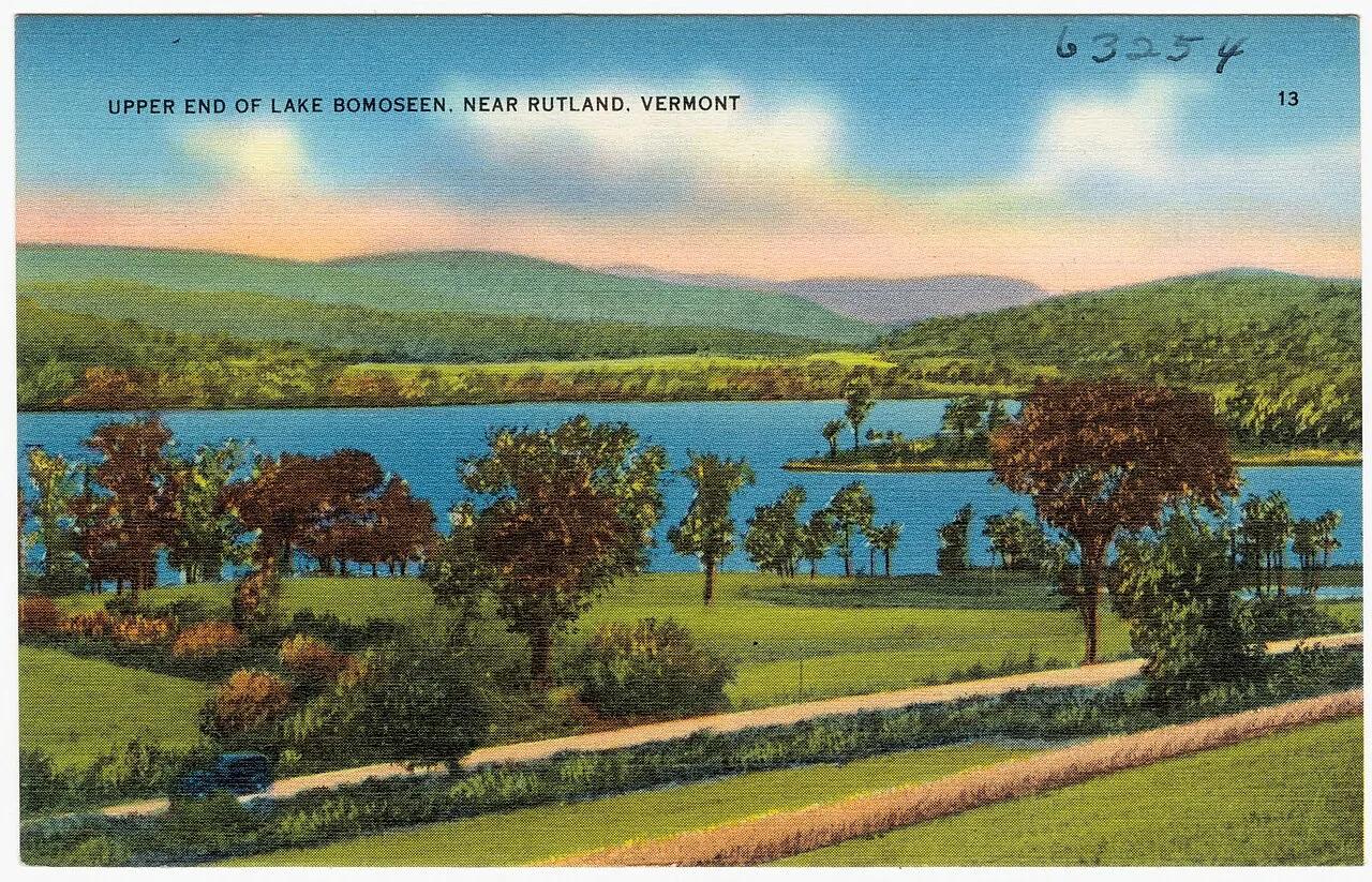
Lake Bomoseen State Park · Rutland & Slate Valley · Vermont
Vermont's largest lake contained entirely within its borders features historic 19th-century slate quarries and quiet kayak waterways.
Photo: Tichnor Brothers, Publisher · Public domain

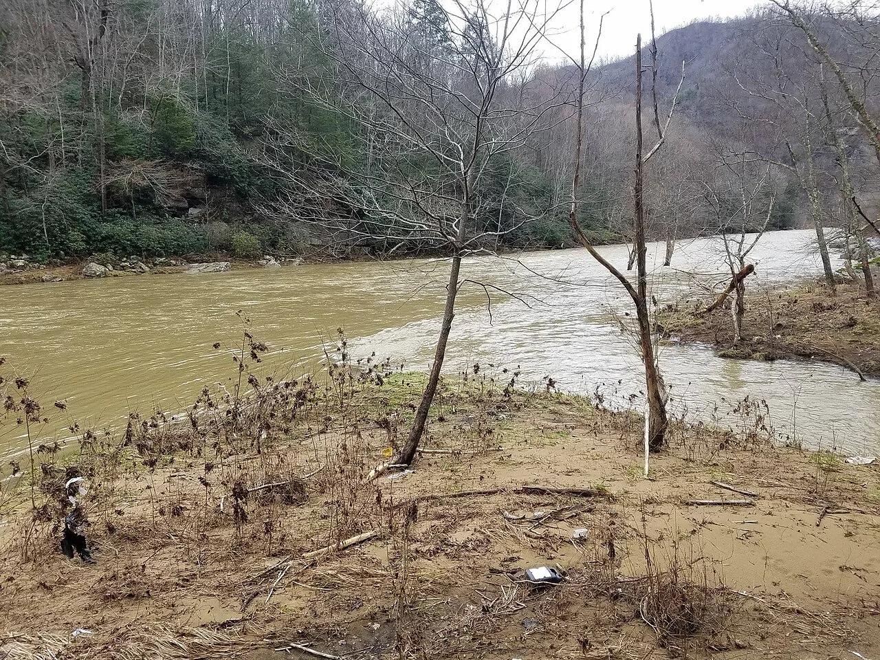
Breaks Interstate Park · Appalachian & Blue Ridge · Virginia
5-mile, 1,600-foot-deep sandstone gorge where the Russell Fork River cuts a horseshoe around the 1,000-foot Pyramid Rock towers.
Photo: Bpluke01 · CC BY-SA 4.0

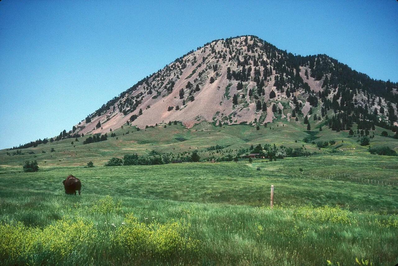
Bear Butte State Park (Sturgis) · Northern Black Hills · South Dakota
Sacred Lakota and Cheyenne volcanic laccolith rising 1,253 feet solitary above the surrounding Great Plains, adorned with prayer cloths.
Photo: JERRYE & ROY KLOTZ MD · CC BY-SA 3.0

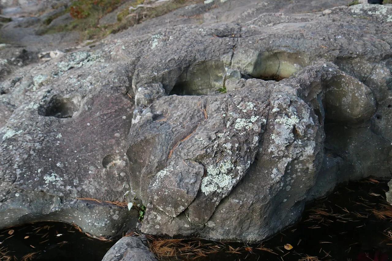
Interstate State Park (Wisconsin) · St. Croix Valley · Wisconsin
Towering columnar basalt Palisades overlooking the St. Croix River gorge, riddled with world-famous swirling glacial potholes ground out by ice age torrents.
Photo: Royalbroil · CC BY-SA 4.0

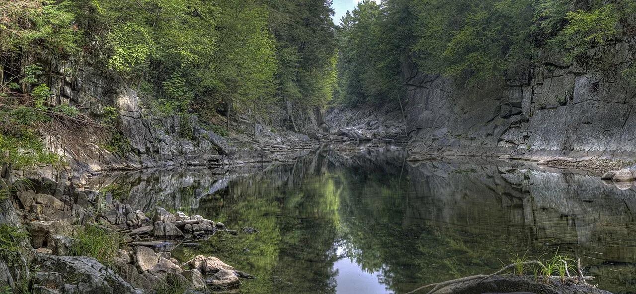
The Trustees of Reservations (Chesterfield Gorge) · Berkshires · Massachusetts
Thirty-foot sheer metamorphic granite canyon walls carved by the East Branch of the Westfield River, Massachusetts's first National Wild and Scenic River.
Photo: Tom Walsh · CC BY-SA 3.0

Volimes Northwest Coast · Mediterranean Europe · Greece
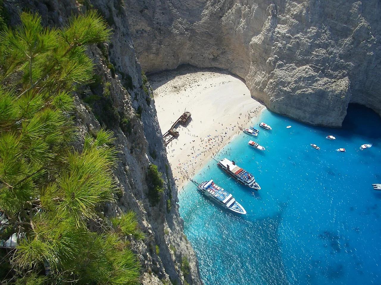
650-foot sheer white limestone sea cliffs encircling an electric-blue Ionian cove accessible by clifftop footpath.
Photo: No machine-readable author provided. MGD assumed (based on copyright claims). · Public domain